The best mountain hikes around Boissano
5.0
(30)
201
hikers
3
hikes
Mountaineering routes around Boissano traverse a diverse landscape where the Ligurian Apennines meet the coast, offering significant elevation gains and panoramic views of the Ligurian Sea. The region is characterized by a blend of Mediterranean scrubland and mountain environments, with trails often following historic mule tracks. Peaks such as Monte Carmo and Monte Ravinet provide challenging ascents and expansive vistas. This unique geographical position offers varied terrain, from forested slopes to rocky ridges, suitable for experienced mountaineers.
Best mountaineering routes…
Last updated: July 8, 2026
4.9
(24)
175
hikers
6.73km
04:49
660m
660m
Hard mountaineering route. Good fitness required. Sure-footedness, sturdy shoes and alpine experience required.
5.0
(4)
21
hikers
13.1km
06:14
790m
790m
Hard mountaineering route. Very good fitness required. Sure-footedness, sturdy shoes and alpine experience required.

Sign up for free
5.0
(1)
3
hikers
3.16km
01:20
200m
200m
Moderate mountaineering route. Great for any fitness level. Mostly accessible paths. Sure-footedness required.
5.0
(1)
2
hikers
7.32km
02:56
460m
460m
Moderate mountaineering route. Good fitness required. Mostly accessible paths. Sure-footedness required.
Our route recommendations are based on thousands of hikes, rides, and runs completed by other people on komoot.
Start today with a free account
Your next adventure awaits.
Login or Signup
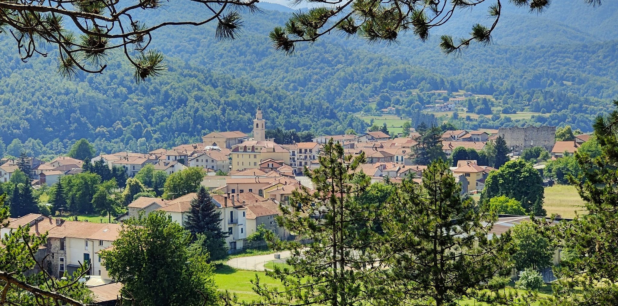
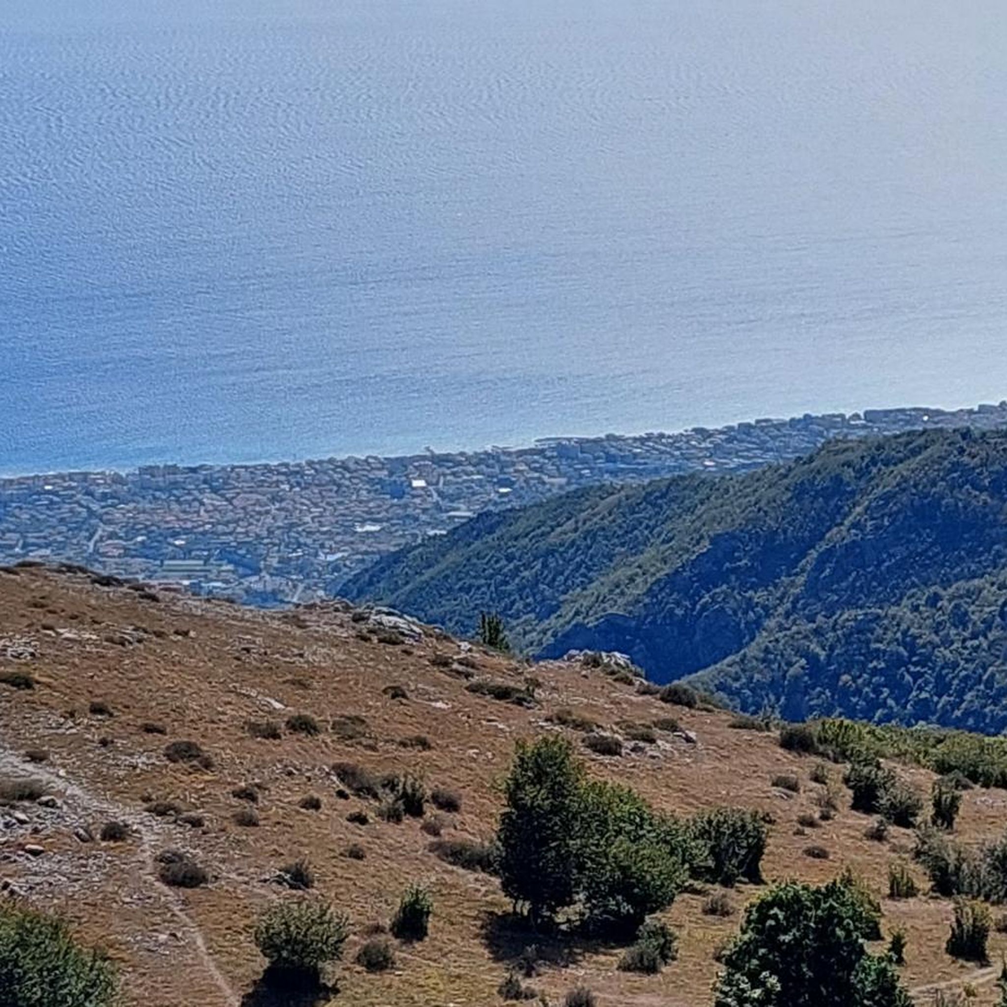
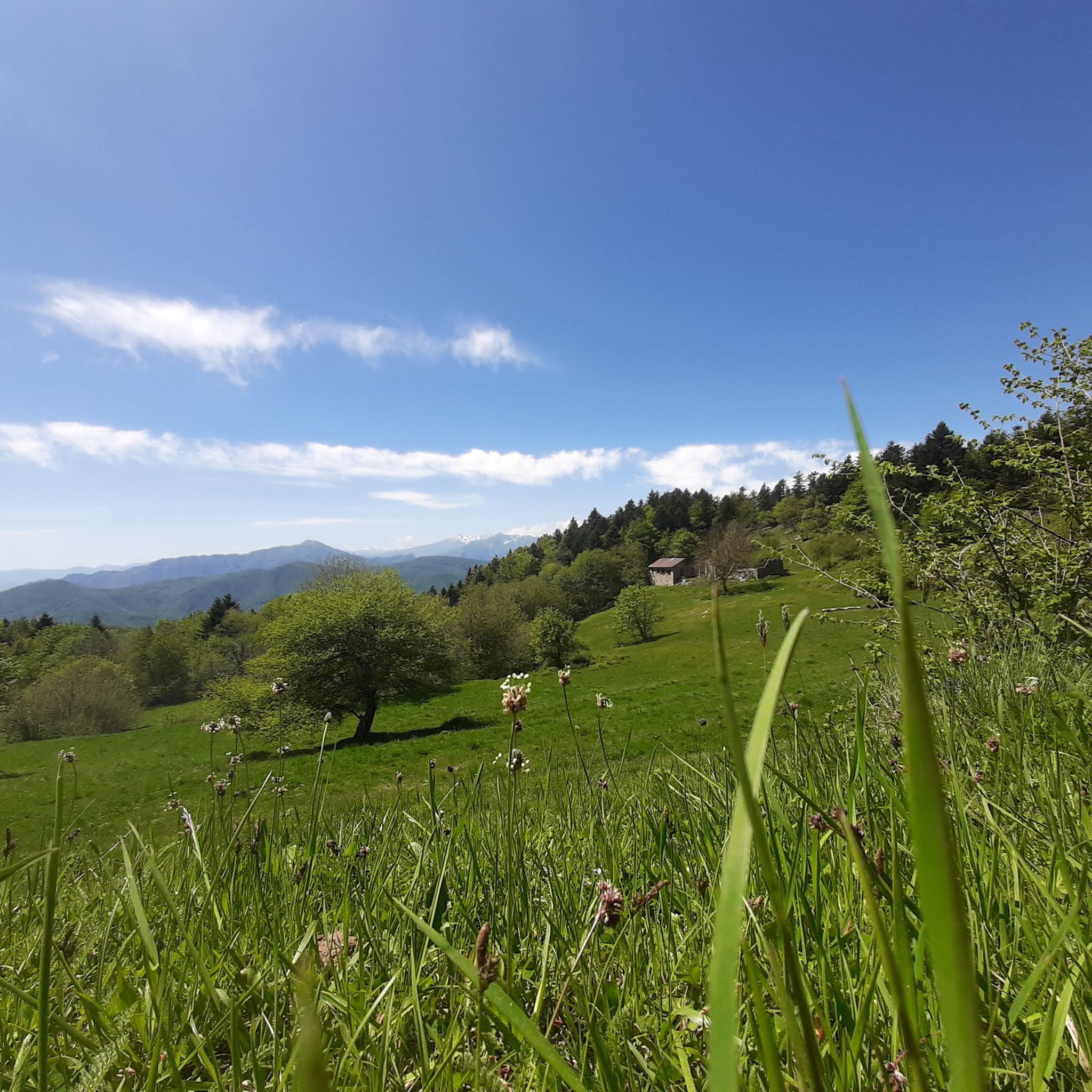
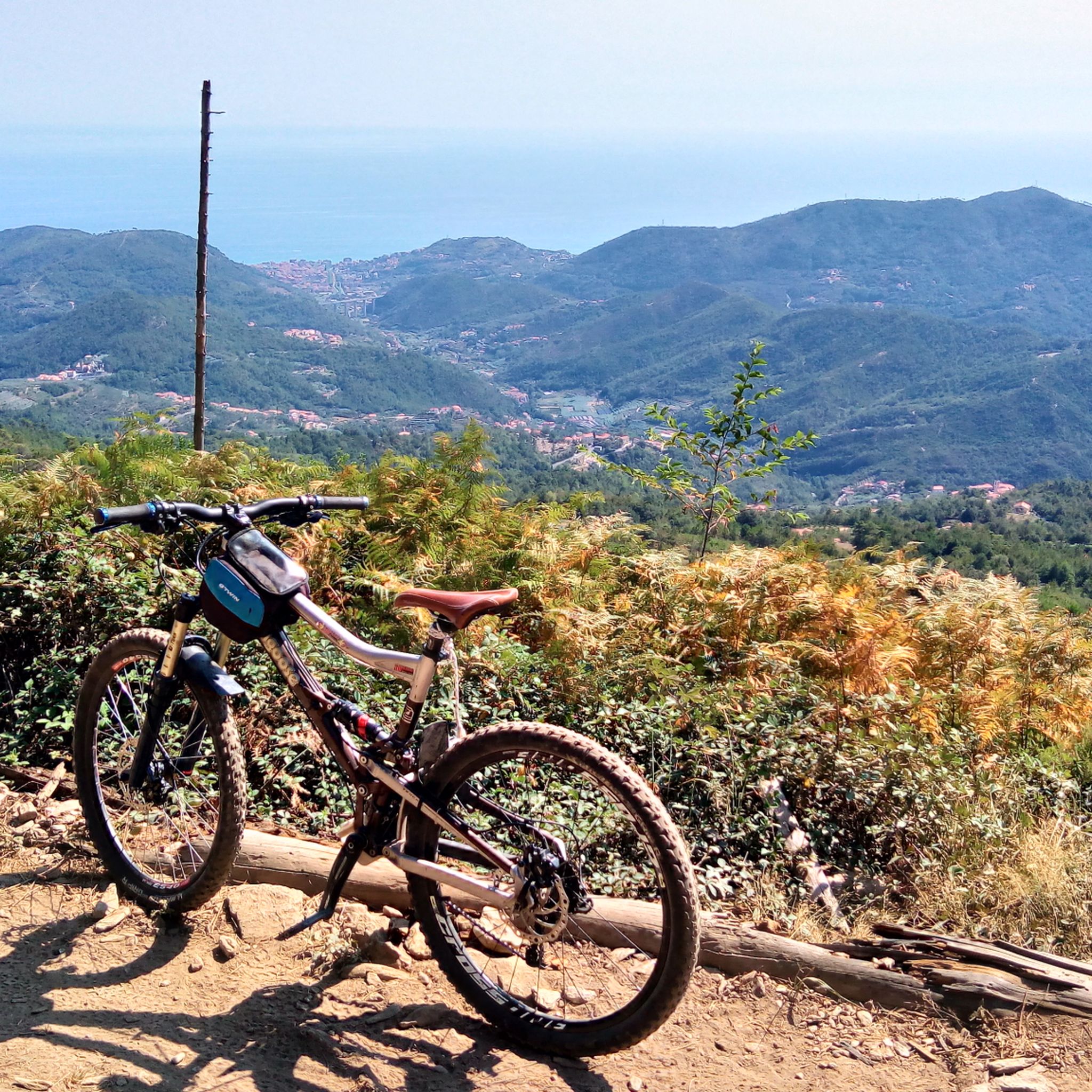
Other adventures around Boissano

Tips from the Community


From the bridge you have a breathtaking view of the surrounding area.
2
0
Beautiful view of the surrounding mountains of Liguria!
1
0

One of the most beautiful points of the via ferrata
0
0

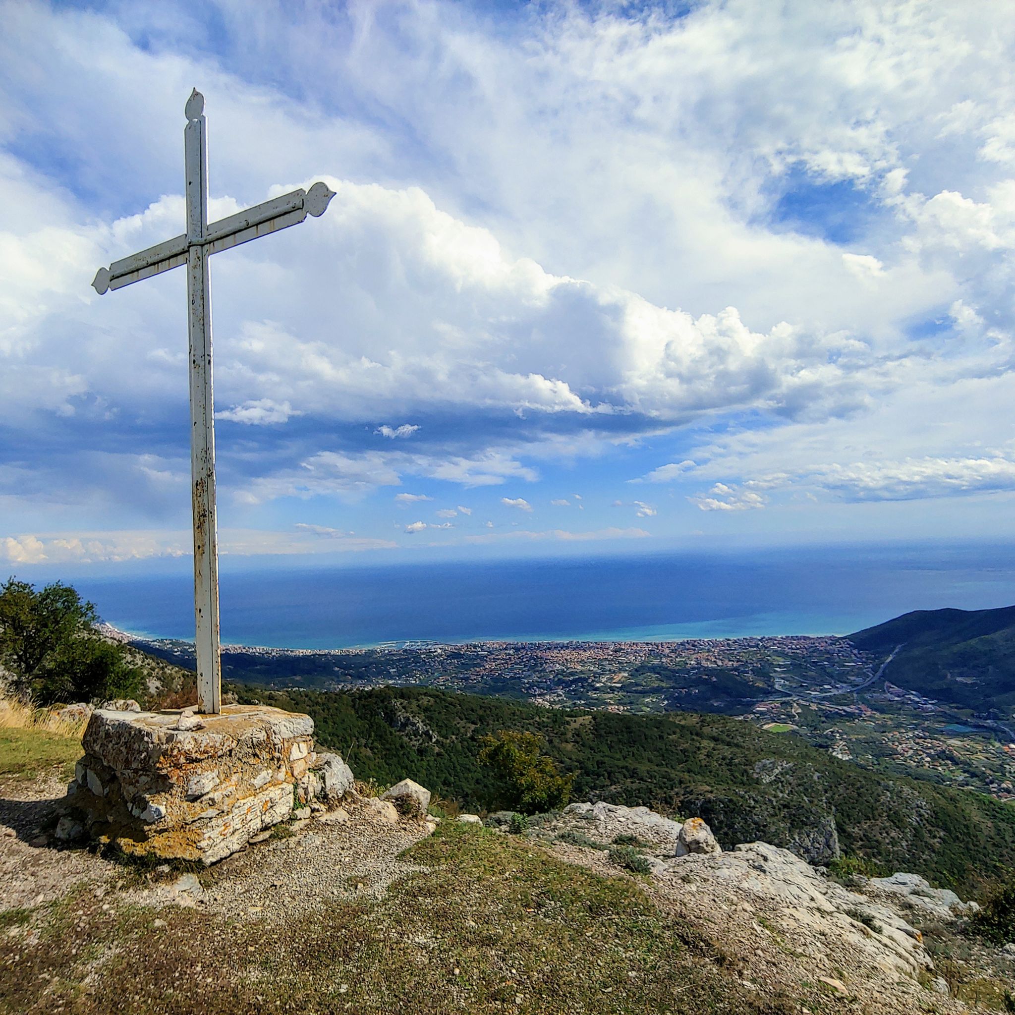
Summit of the Rocca di Perti with a wonderful panorama, summit cross and summit book.
0
0
Suggestive Tibetan bridge approximately 40 meters long
0
0
One of the most beautiful stretches of the entire via ferrata
1
0
Frequently Asked Questions
What level of fitness is required for mountaineering routes around Boissano?
Mountaineering routes around Boissano are generally challenging, often requiring very good fitness, sure-footedness, sturdy shoes, and some alpine experience. Many trails feature significant elevation gains and traverse varied terrain, from forested slopes to rocky ridges.
Are there any moderate mountaineering routes in Boissano?
Yes, while many routes are difficult, there are also moderate options. For example, the Monte Pesalto loop from Riserva Regionale di Rio Torsero is a moderate 8.3 km trail with about 564 meters of elevation gain. Another moderate choice is the Grotta della Cava di Perti loop from Calice Ligure, which is shorter at 3.1 km with around 200 meters of ascent.
How many mountaineering routes are available in the Boissano area?
There are over 5 distinct mountaineering routes detailed in the Boissano area, offering a range of experiences from moderate to difficult. These routes are highly rated by the komoot community.
Can I reach Monte Carmo on a mountaineering route from Boissano?
Yes, Monte Carmo is a prominent peak accessible from Boissano, often via historic mule tracks. The ascent to Monte Carmo offers expansive views where the Alps meet the Apennines above the Ligurian Sea. While not directly listed as a single route from Boissano in this guide, the Balzi Rossi Ridge loop from Monte Carmo - Monte Settepani offers extensive ridge walking with panoramic views near Monte Carmo.
Are there routes that pass by the San Pietrino Sanctuary?
The San Pietrino Sanctuary, an 18th-century site dedicated to Saint Peter, is reachable via pleasant hiking trails and offers suggestive panoramic views of the Ligurian Sea. While not explicitly listed in the provided routes, it is a significant landmark in the region and often serves as a scenic intermediate destination on longer routes, such as the challenging Monte Ravinet Summit loop.
What natural landmarks or viewpoints can I expect to see on these routes?
Many routes offer sweeping panoramic views of the Ligurian coast and diverse ecosystems. You can encounter both Mediterranean scrubland and mountain flora. Notable peaks include the Summit of Monte Carmo and Monte Piccaro summit. Other points of interest include Colle Scravaion and the Monte Acuto Summit Cross.
Are there circular mountaineering routes available?
Yes, all the mountaineering routes highlighted in this guide are circular loops. This includes routes like the Balzi Rossi Ridge loop from Bric Il Pizzo and the Rocky Ridge View loop from Cisano sul Neva, allowing you to start and end at the same point.
What is the best time of year for mountaineering in Boissano?
The region's diverse climate, blending Mediterranean and mountain environments, makes spring and autumn ideal for mountaineering. These seasons offer pleasant temperatures and vibrant natural scenery. Summer can be warm, especially at lower elevations, while winter may bring colder conditions and snow at higher altitudes, requiring appropriate gear and experience.
Is parking available near the trailheads?
Parking availability varies by trailhead. Many routes start from villages or accessible points where local parking options may be found. It's advisable to check specific route details on komoot for information regarding parking at the chosen starting point.
Can I reach the trailheads using public transport?
While Boissano is well-connected for general travel, public transport options directly to specific remote trailheads might be limited. It's recommended to research local bus schedules or consider a combination of public transport and a short taxi ride to reach less accessible starting points.
Are the mountaineering routes around Boissano suitable for families?
Given that most mountaineering routes around Boissano are classified as 'difficult' or 'moderate' with significant elevation gains, they are generally best suited for families with older children who have good fitness and hiking experience. For younger children or those seeking easier walks, it's recommended to look for specific family-friendly hiking trails in the broader Liguria region rather than the more demanding mountaineering routes.
Are dogs allowed on the mountaineering routes?
Generally, dogs are permitted on many trails in the Ligurian Apennines, but it's always best to check local regulations or specific park rules for each route. Ensure your dog is well-behaved, on a leash, and capable of handling challenging terrain and longer distances, especially on routes with significant elevation changes or rocky sections.
What do other mountaineers say about the routes in Boissano?
The mountaineering routes in Boissano are highly rated by the komoot community, with an average score of 4.98 stars from over 30 reviews. Mountaineers often praise the challenging ascents, the extensive ridge walking, and the breathtaking panoramic views of the Ligurian coast and surrounding mountains.
Most popular routes around Boissano
Most popular attractions around Boissano

Get inspired with the komoot mobile app


Explore more
Browse the best Mountain Hikes & Routes in other regions.
