The best waterfall hikes and walks around Sierra
4.6
(1074)
7,646
hikers
14
hikes
Waterfall hiking trails around Sierra are characterized by varied terrain, including river valleys and forested paths. The region features natural cascades and streams, offering diverse hiking experiences. Elevations range from gentle ascents along watercourses to more challenging climbs leading to higher viewpoints.
Best waterfall hiking trails around Sierra
- The most popular waterfall hiking route is Hoz de Pelegrina and Gollorio Waterfall Trail, a 4.4 miles (7.1 km) trail that takes 2 hours 17 minutes to complete. This moderate route…
Last updated: October 10, 2026
4.8
(26)
78
hikers
7.10km
02:17
140m
140m
Moderate hike. Good fitness required. Mostly accessible paths. Sure-footedness required.
4.3
(4)
47
hikers
Hard hike. Very good fitness required. Mostly accessible paths. Sure-footedness required.

4.8
(19)
200
hikers
7.77km
02:20
210m
210m
Moderate hike. Good fitness required. Mostly accessible paths. Sure-footedness required.
5.0
(2)
12
hikers
14.5km
04:03
220m
220m
Moderate hike. Good fitness required. Mostly accessible paths. Sure-footedness required.
4.8
(4)
12
hikers
Hard hike. Very good fitness required. Mostly accessible paths. Sure-footedness required.
Get access to more routes and recommendations from other explorers.
Already have an account?
Our route recommendations are based on thousands of hikes, rides, and runs completed by other people on komoot.
Start today with a free account
Your next adventure awaits.
Popular around Sierra

Waterfall hikes in Sierra Norte De Guadalajara
Waterfall hikes in Barranco Del Río Dulce
A journey through mediaeval Spain – El Camino del Cid (GR 160)

The Black Towns – Sierra Norte de Guadalajara on foot (GR 60)
Levante to Castile – Ruta de la Lana Gravel Route
Unexpectedly wild – Jarama on a gravel bike
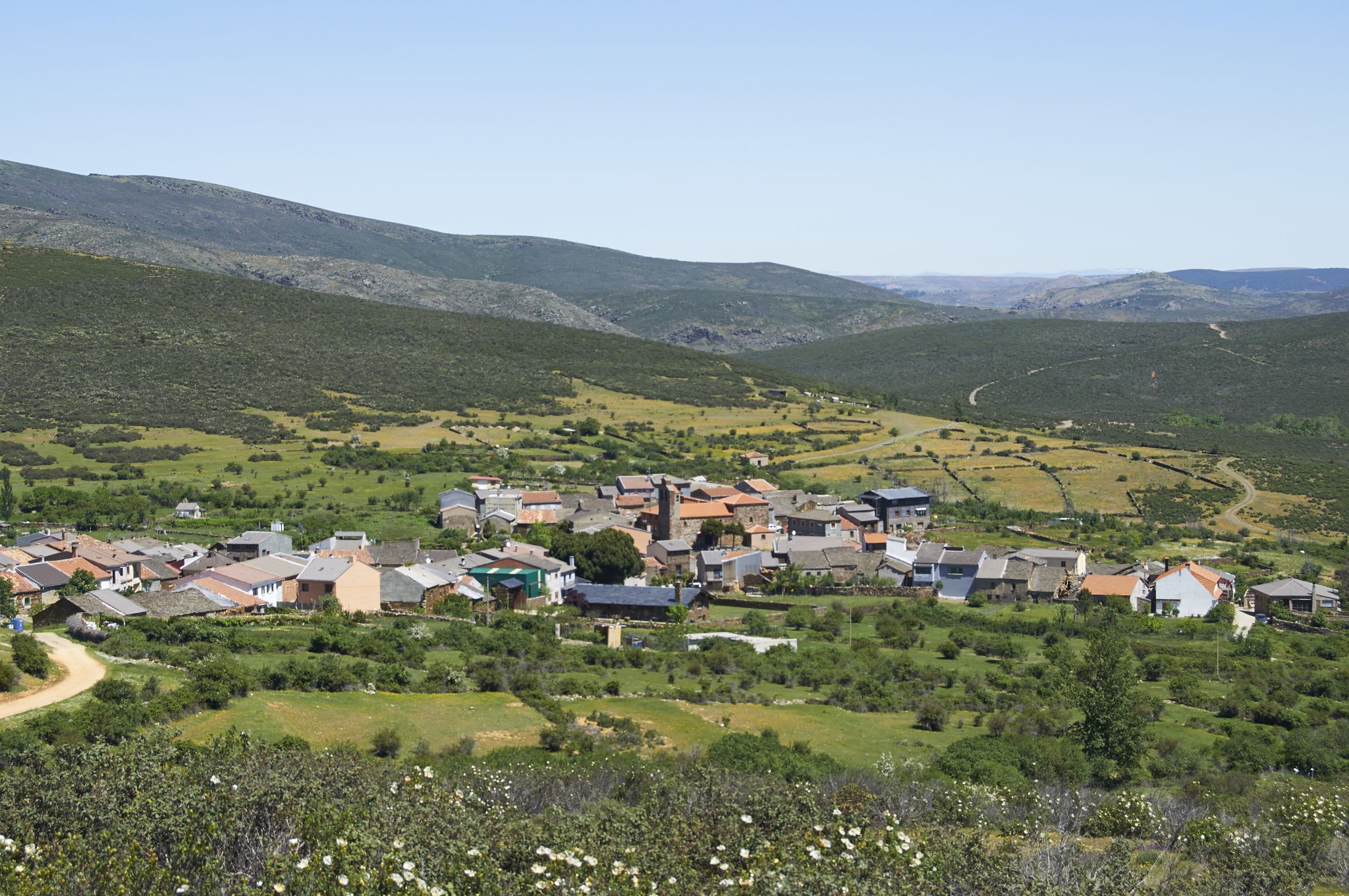
Tierras de Frontera on a gravel bike – El Camino del Cid
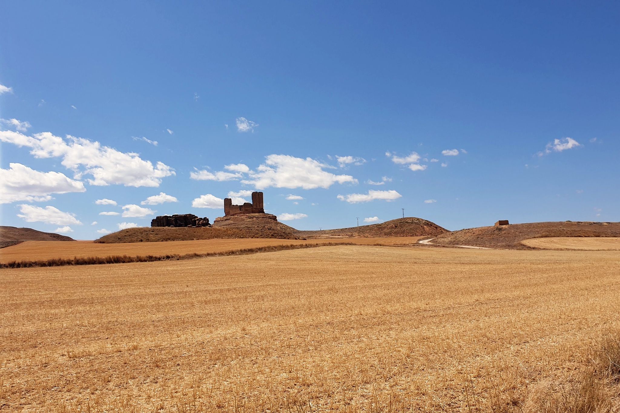
El Camino del Cid – The Borderlands on MTB
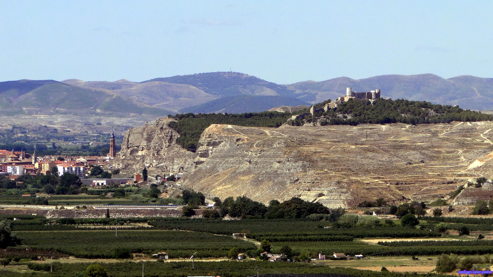
Camino del Cid by bicycle — frontier lands in Spain
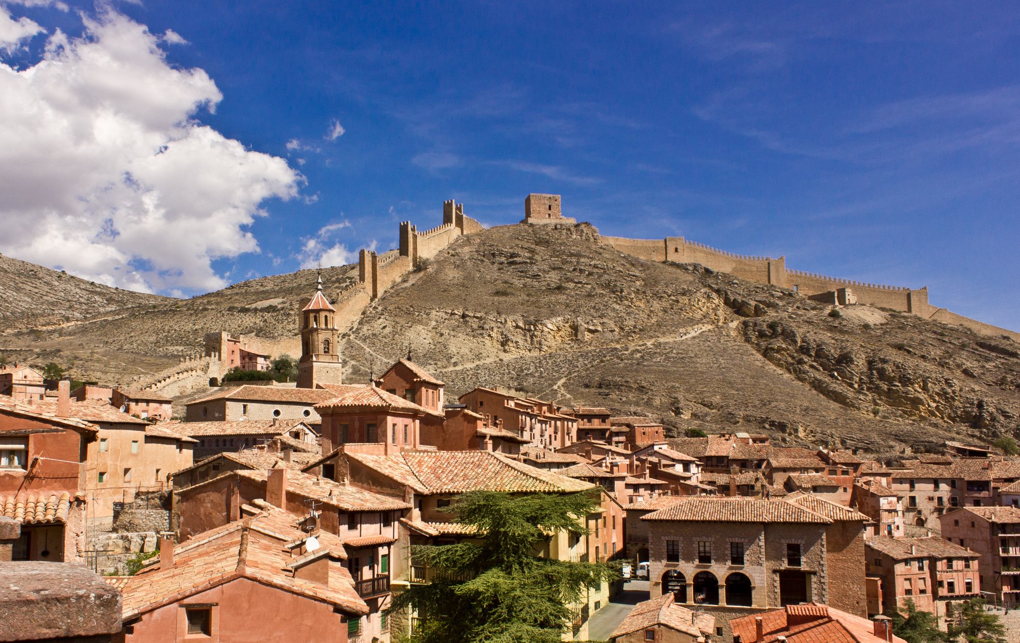
Bike tour into the Spanish Middle Ages - the Camino del Cid
Other adventures around Sierra


Tips from the Community

Despite its steep and difficult access, Gollorio Waterfall is a popular spot for hikers. The trail leading to it offers spectacular views and is part of the Gollorio Waterfall Route. In long sections, the trail runs close to the ravine without any lateral protection, so caution is advised.
2
0
From Valverde, you can enjoy stunning views of Ocejón Peak, especially from the hiking trails that depart from the town.
4
0
The climb to Pico Ocejón via the eastern slope is a popular route that begins in Valverde de los Arroyos. This route is known for its spectacular scenery and the opportunity to enjoy nature at its best.
4
0
The most popular route to ascend Pico Ocejón begins in Valverde de los Arroyos and is known for its scenic beauty and moderate difficulty. The hike is approximately 14.74 km and typically takes around 6 hours with stops. Along the way, hikers can enjoy spectacular views and the rich biodiversity of the area.
6
0

Magnificent waterfalls. Worth a visit. Just 3 km from the village.
0
0
A spectacular waterfall just a short distance from the village of Valverde de los Arroyos. It is worth visiting.
0
0
The climb is hard, but it is worth it. Although we were not lucky enough to see all the scenery that should be seen from that height. The descent is almost harder than the ascent.
1
0
A picturesque village among the black villages of Guadalajara. The food is great and it is a good starting point for hiking and mountain biking excursions.
1
0
Frequently Asked Questions
How many waterfall hiking trails are available in Sierra?
There are 14 dedicated waterfall hiking trails around Sierra, offering a range of experiences from moderate walks to more challenging climbs. These routes are highly rated by the komoot community, with an average score of 4.6 stars.
Are there any easy waterfall hikes for beginners in Sierra?
While there are no trails explicitly rated as 'easy' in this selection, many of the moderate routes are accessible for those with a reasonable fitness level. For example, the Gollorio Waterfall loop from Castillo de Pelegrina is a moderate 4.5 km trail that can be completed in about 1 hour 24 minutes, offering a good introduction to the region's waterfalls.
What kind of terrain can I expect on waterfall hikes in Sierra?
Waterfall hikes in Sierra feature varied terrain, including river gorges, forested paths, and open landscapes. You'll encounter natural cascades and streams, with elevations ranging from gentle ascents along watercourses to more challenging climbs leading to higher viewpoints. The Sierra Nevada region is known for its granite peaks, alpine lakes, and dense forests, providing a diverse backdrop for your adventures.
Are there any circular waterfall routes in Sierra?
Yes, several waterfall trails in Sierra are circular, allowing you to start and end at the same point. A popular option is the Pelegrina Castle – Gollorio Waterfall loop from Castillo de Pelegrina, a moderate 7.8 km trail that combines historical sites with natural landscapes. Another challenging circular route is Pico Ocejon via the Chorrera Despenalagua, which offers significant elevation gain.
What are some notable waterfalls I can visit in Sierra?
Sierra is home to several beautiful waterfalls. You can explore the Gollorio Waterfall, often featured on popular routes like the Hoz de Pelegrina and Gollorio Waterfall Trail. Another significant cascade is the Despeñalagua Waterfall, which can be reached via the challenging Despeñalagua Waterfall – Valverde de los Arroyos loop. Other notable waterfalls include Aljibe Waterfall and Cañamar Waterfall.
Are there any historical sites or castles near the waterfall trails?
Yes, the Sierra region offers a blend of natural beauty and historical landmarks. You can find several castles nearby, such as Pelegrina Castle, which is part of the starting point for some waterfall loops. Other historical sites in the broader region include Sigüenza Castle and the Sigüenza Historic Town Center, offering opportunities to explore the area's rich past.
What is the best time of year to visit Sierra for waterfall hikes?
The Sierra Nevada region, including Sierra, experiences varied conditions. Spring is often ideal for viewing waterfalls at their fullest due to snowmelt. However, the region offers beautiful scenery year-round. Summer provides warmer weather for hiking, while autumn brings vibrant foliage. Always check local conditions and weather forecasts before heading out, especially for higher elevation trails.
What do other hikers enjoy most about the waterfall trails in Sierra?
The waterfall trails in Sierra are highly rated by the komoot community, with an average score of 4.6 stars from over 400 reviews. Hikers often praise the varied terrain, from river gorges to forested paths, and the stunning natural cascades. Many appreciate the diverse hiking experiences available, catering to different ability levels.
Are there any facilities or recreational areas near the waterfall trails?
Yes, you can find some facilities near the waterfall trails. For instance, there is a Recreational area opposite the Vereda mill, which could be a convenient spot for a break or picnic during your hike.
What is the longest and most challenging waterfall hike in Sierra?
The most challenging and longest waterfall hike listed is the Despeñalagua Waterfall – Valverde de los Arroyos loop from Collado Viezo. This difficult route spans approximately 23.8 km and involves a significant elevation gain of over 1278 meters, typically taking around 9 hours 58 minutes to complete. It offers an immersive experience through mountainous terrain to the impressive Despeñalagua Waterfall.
Can I combine a waterfall hike with exploring a peak?
Absolutely. For those seeking a more strenuous adventure that combines a peak ascent with waterfall views, consider the Pico Ocejon via the Chorrera Despenalagua. This difficult 11.3 km circular trail involves significant elevation gain through mountainous terrain, culminating in views of the Chorrera Despenalagua waterfall and the surrounding landscapes.
Most popular routes around Sierra
Most popular attractions around Sierra

Get inspired with the komoot mobile app


Didn’t find what you were looking for?
Check out more Hikes throughout Sierra below and find the perfect route in your destination.
Explore more
Browse the best Hikes in other regions.
