The best waterfall hikes and walks in Préalpes D’Azur
4.5
(6678)
46,165
hikers
10
hikes
Waterfall hiking trails in Préalpes D’Azur traverse a region characterized by diverse landscapes, from dramatic gorges to verdant valleys and expansive limestone plateaus. The park's topography ranges from 300 to 1,800 meters in altitude, offering a variety of terrain for hikers. This area is known for its significant water features, including numerous waterfalls and a network of underground cavities. Hikers can explore lush environments and impressive mountain panoramas.
Best waterfall hiking trails in Préalpes D’Azur
- The most popular waterfall hiking…
Last updated: October 10, 2026
4.5
(103)
527
hikers
Easy hike. Great for any fitness level. Easily-accessible paths. Suitable for all skill levels.
4.5
(45)
200
hikers
7.93km
02:24
270m
270m
Moderate hike. Good fitness required. Mostly accessible paths. Sure-footedness required.

4.7
(14)
73
hikers
14.0km
04:16
470m
470m
Hard hike. Good fitness required. Sure-footedness, sturdy shoes and alpine experience required.
4.4
(10)
52
hikers
14.2km
04:31
570m
570m
Moderate hike. Good fitness required. Easily-accessible paths. Suitable for all skill levels.
4.3
(9)
52
hikers
4.71km
01:28
170m
170m
Easy hike. Great for any fitness level. Easily-accessible paths. Suitable for all skill levels.
Get access to more routes and recommendations from other explorers.
Already have an account?
Our route recommendations are based on thousands of hikes, rides, and runs completed by other people on komoot.
Start today with a free account
Your next adventure awaits.
Popular around Préalpes D’Azur
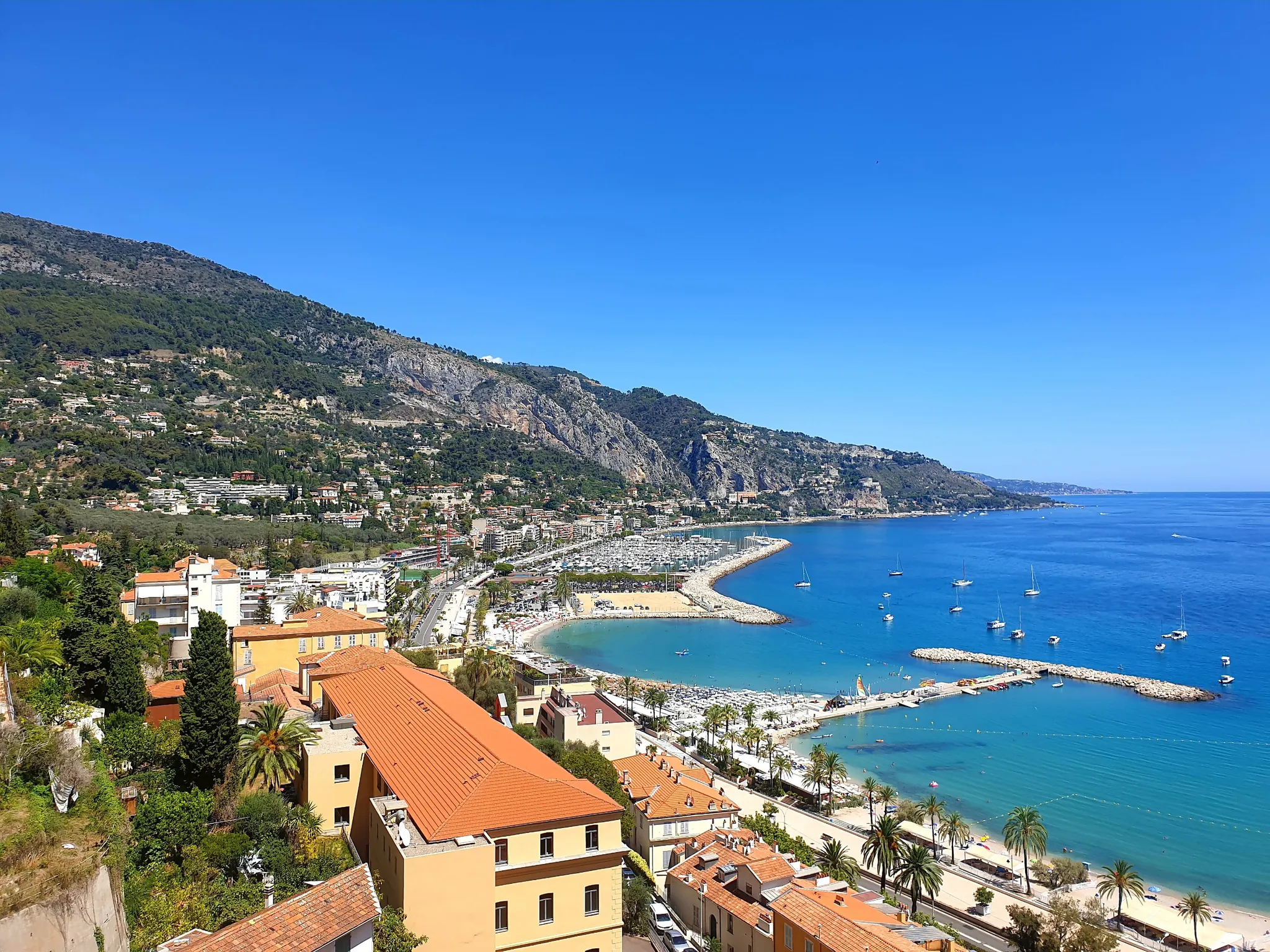
Between sea and mountains – other balcony of the Mediterranean
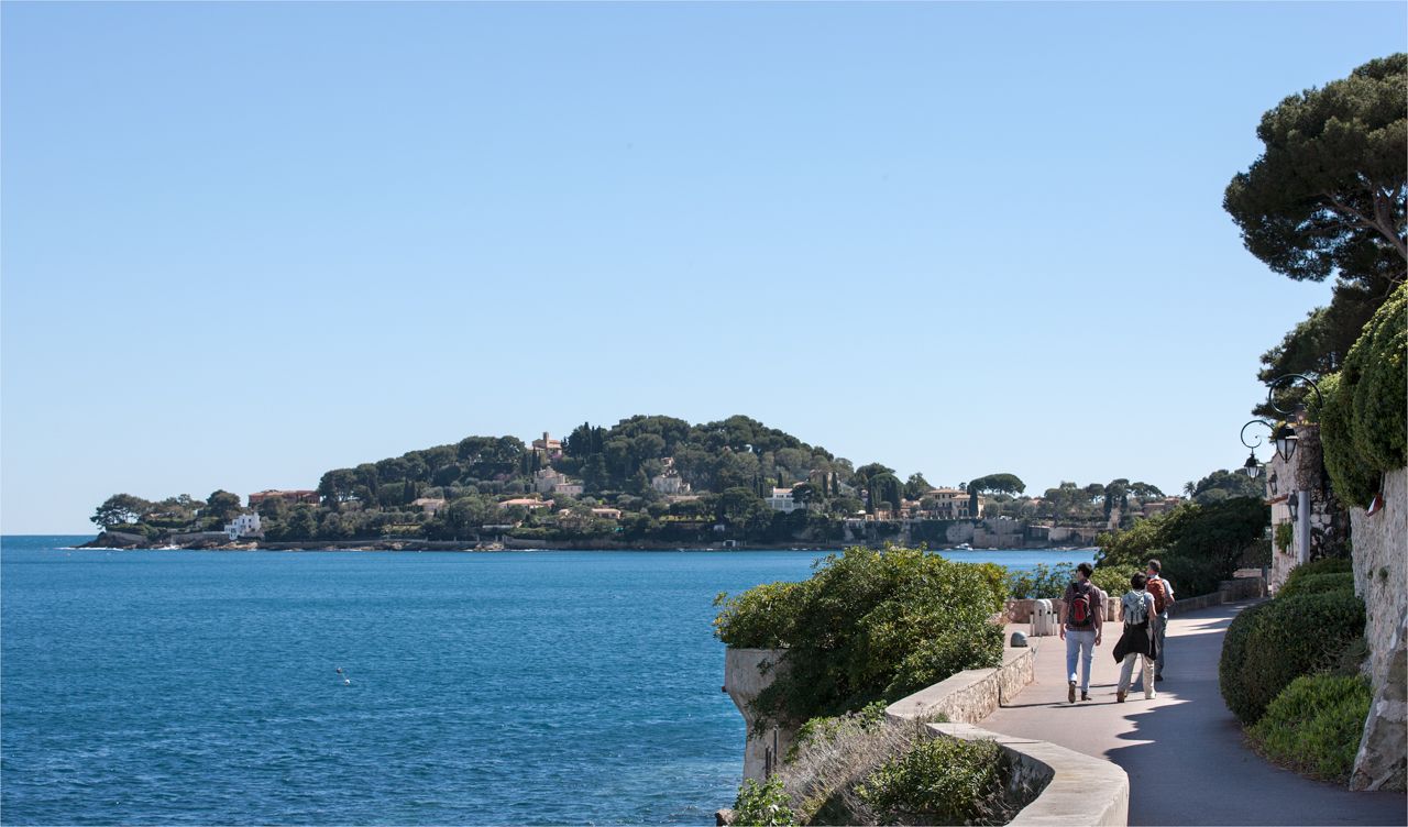
Côte d'Azur panoramas – hikes between land and sea around Nice
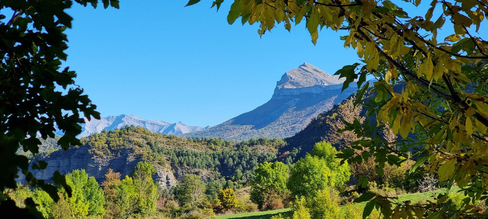
The Napoleon Route – GR 406

Transalps MTB – Chamonix to the Mediterranean Sea
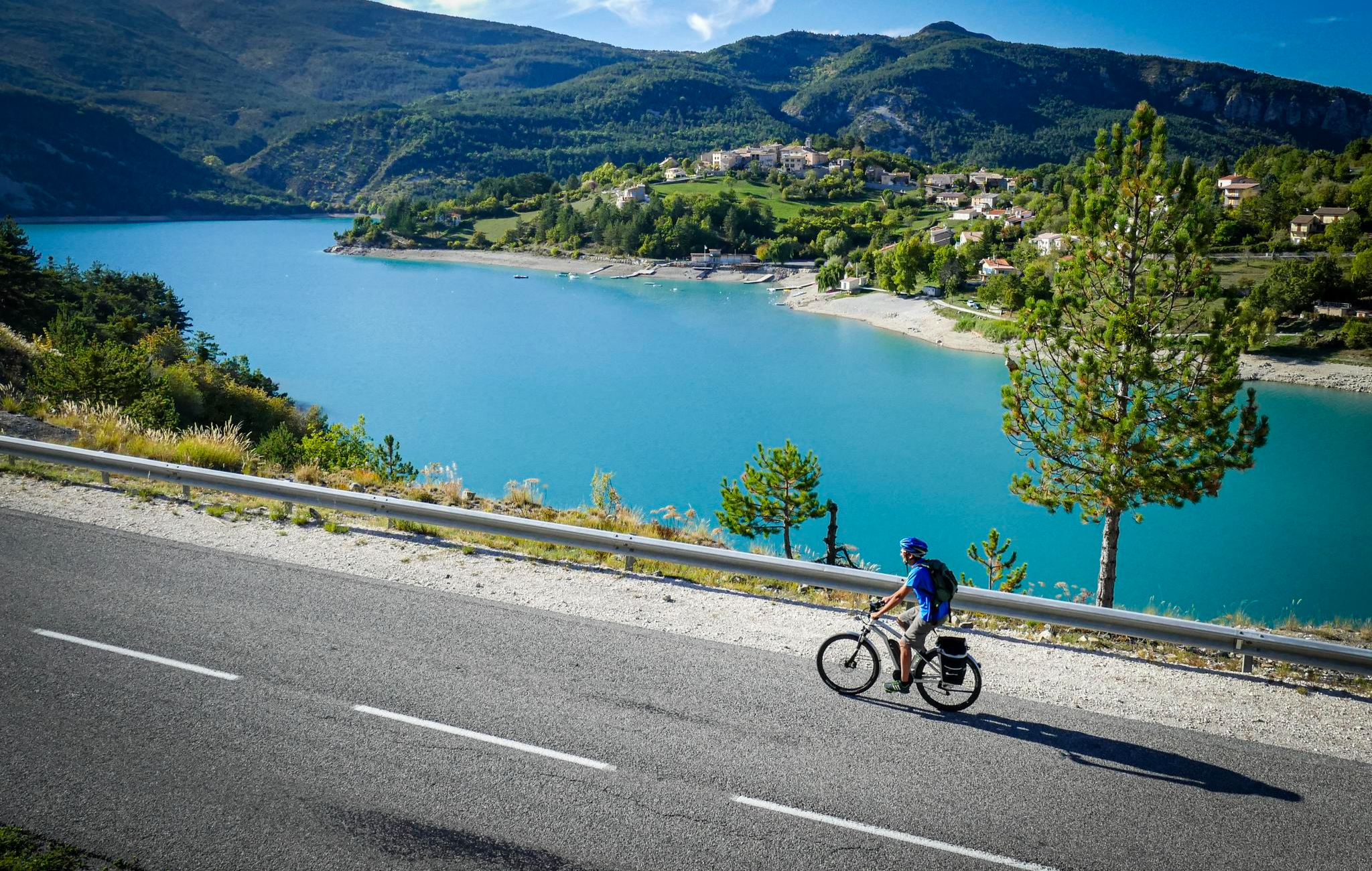
P'tites Routes du Soleil (Little Routes of the Sun)
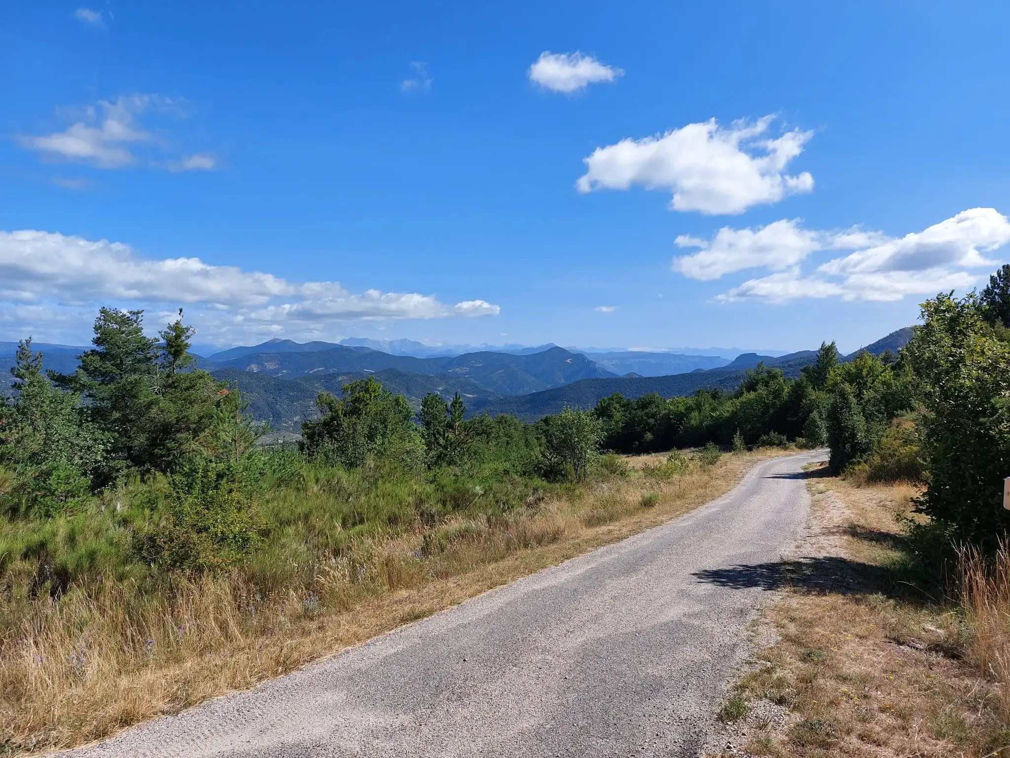
P'tites Routes du Soleil – crossing the pre-Alps from Lake Geneva to Nice
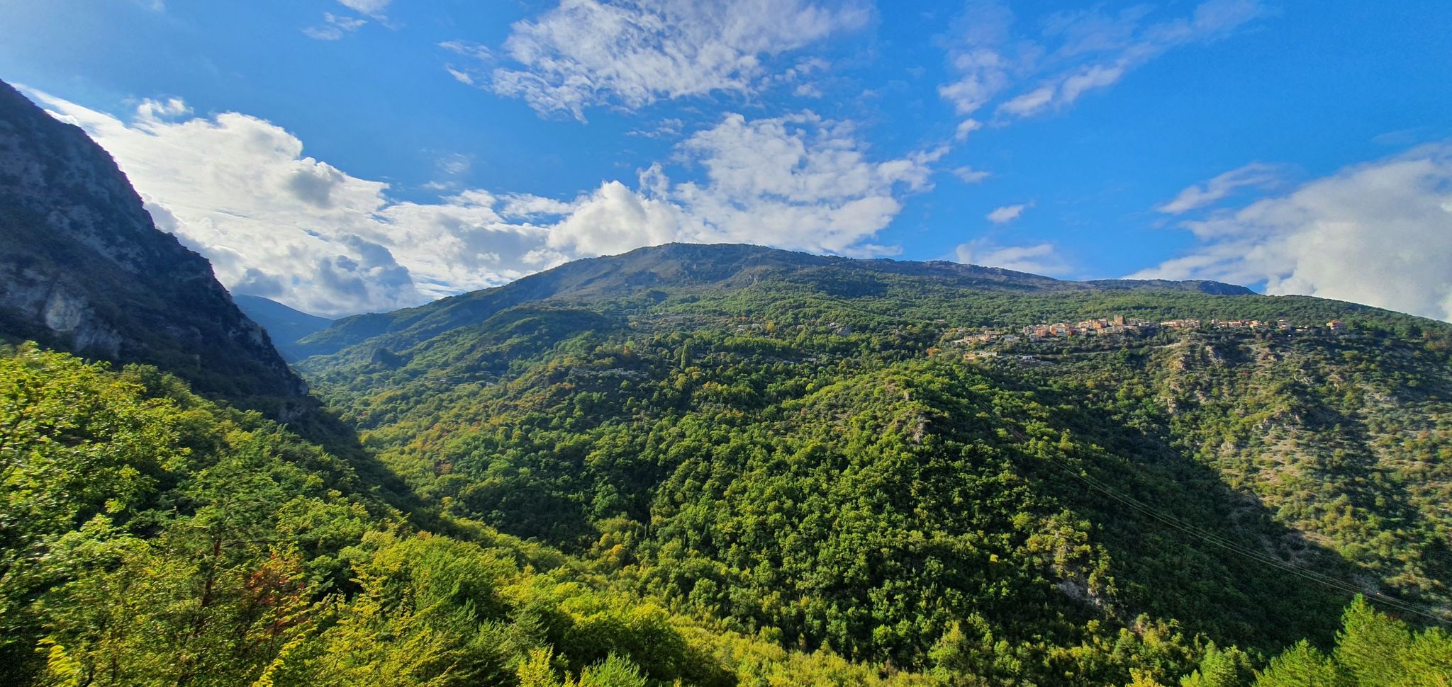
In the land of clues – grand tour of the Préalpes d'Azur
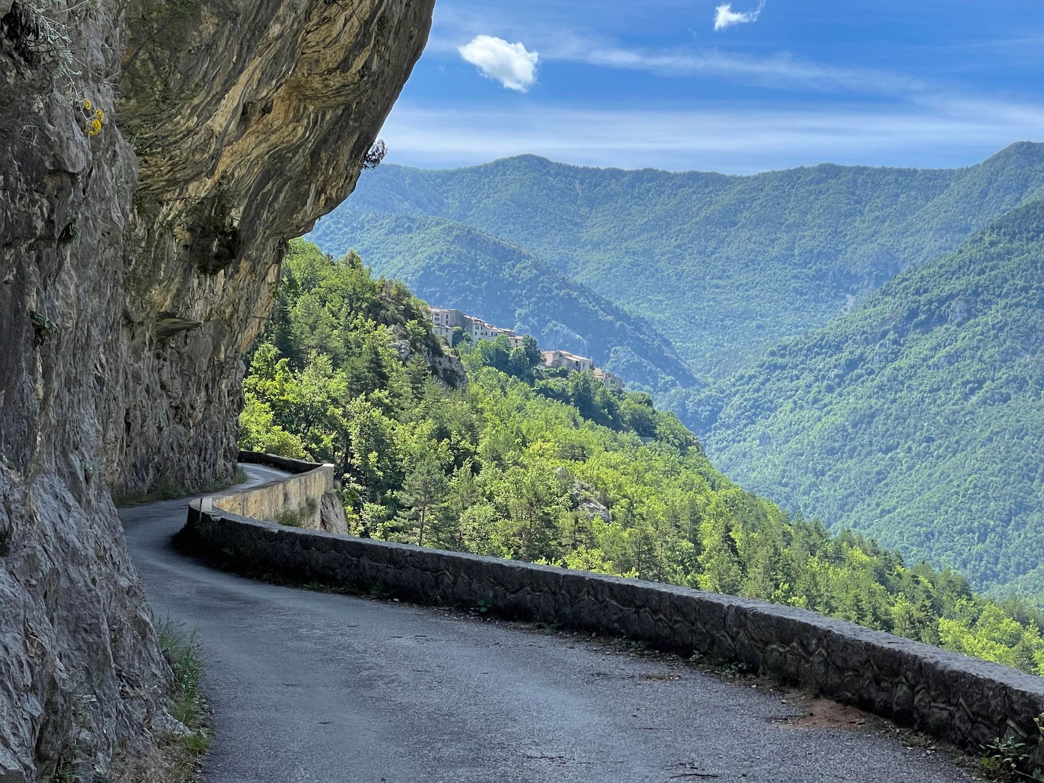
From passes to canyons – cycling in France’s Alpes d'Azur
Other adventures in Préalpes D’Azur


Tips from the Community

A superb waterfall in the heart of the mountains. Its cascade forms magnificent natural pools, offering a peaceful and refreshing setting. A must-see for nature lovers!
0
0

The path is rocky and steep. At the bottom, you have to cross the stream. Easily manageable for children ages 8 and up.
0
0

Magnificent waterfall, however the path has some difficult passages to pass, as well as crossing the river by fording to take the path on the other side
1
0

A slightly more complicated hike because of a lot of falling trees and landslides at the end of the trail. But this waterfall is magnificent.
0
0

Climb about 10 km long with always easy slopes. At the top excellent panorama.
19
0

From here, after a short walk, there is a wonderful view of the Mediterranean
2
0
Frequently Asked Questions
How many waterfall hiking trails are available in Préalpes D’Azur?
There are currently 10 waterfall hiking trails listed in Préalpes D’Azur. These routes offer a variety of experiences, from easy strolls to more challenging ascents, all leading to beautiful water features.
What makes Préalpes D’Azur a unique destination for waterfall hikes?
The Préalpes D’Azur region is characterized by its diverse landscapes, ranging from dramatic gorges and expansive limestone plateaus to lush valleys. This unique blend, situated between the Mediterranean Sea and the high Alps, creates a rich environment for numerous waterfalls and an extensive network of trails. The area is also known for its significant biodiversity and impressive mountain panoramas.
What is the best time of year to go waterfall hiking in Préalpes D’Azur?
The best time to visit Préalpes D’Azur for waterfall hikes is generally during spring and early summer when the snowmelt feeds the waterfalls, making them particularly impressive. Autumn also offers beautiful scenery with changing foliage. Summers can be warm, so early mornings are recommended, while winter hikes might be possible at lower elevations, but higher routes could be affected by snow.
Are there easy waterfall hikes suitable for beginners or families in Préalpes D’Azur?
Yes, there are several easy waterfall hikes perfect for beginners and families. For example, the Cascade de Vescagne - round trip in the Regional Natural Park of the Prealps of Azur is an easy 3.3-mile (5.3 km) route that offers a scenic loop. Another accessible option is the Clars Waterfall – Ray Waterfall loop from Andon, which is also rated easy.
Are there any challenging waterfall hikes for experienced hikers in Préalpes D’Azur?
Yes, for experienced hikers seeking a more strenuous adventure, the Préalpes D’Azur offers challenging routes. The Vescagne Waterfall – Col de Vence loop from Col de Vence is a difficult 8.7-mile (14.0 km) trail that leads through varied terrain, providing a longer and more demanding experience with significant elevation changes.
Can I find circular waterfall routes in Préalpes D’Azur?
Absolutely. Many of the waterfall trails in Préalpes D’Azur are designed as circular routes, allowing you to start and end at the same point without retracing your steps. Examples include the Cascade de Clars – loop in the Regional Natural Park of the Azur Prealps and the Ray Waterfall – Clars Waterfall loop from Combe Carlette.
What kind of natural features and landmarks can I see near the waterfall trails?
Beyond the waterfalls themselves, the Préalpes D’Azur is rich in natural and cultural landmarks. You can explore dramatic gorges like the Gorges du Loup, or visit the unique Tuves Bridge and Cave. The region also features charming perched villages such as Gourdon Village, offering a glimpse into local heritage.
What do other hikers enjoy most about hiking in Préalpes D’Azur?
The Préalpes D’Azur is highly rated by the komoot community, with an average score of 4.6 stars from over 2700 reviews. Hikers often praise the diverse scenery, the well-marked trails suitable for all levels, and the stunning natural beauty, especially the hidden waterfalls and panoramic views.
Are there opportunities for wild swimming near the waterfalls?
The Préalpes D’Azur region is known for its abundant water features, including rivers and cascades. While some spots might be suitable for a refreshing dip, it's important to exercise caution, check local regulations, and be aware of water conditions, especially after heavy rainfall. Always prioritize safety and respect the natural environment.
What is the typical terrain like on waterfall hikes in Préalpes D’Azur?
The terrain in Préalpes D’Azur is quite varied, reflecting its 'pre-Alps' nature. You can expect paths that wind through lush valleys, ascend limestone plateaus, and navigate dramatic gorges. Trails can range from well-trodden paths to rocky and uneven sections, especially on more challenging routes. Sturdy hiking footwear is always recommended.
Are the waterfall trails in Préalpes D’Azur accessible by public transport?
While some villages and trailheads in Préalpes D’Azur may be reachable by local bus services, public transport options can be limited, especially for accessing more remote waterfall trails. It's advisable to research specific routes and their proximity to public transport stops in advance. Often, a car provides the most flexibility for exploring the region's diverse hiking opportunities.
Are there any specific safety considerations for waterfall hiking in this region?
When hiking near waterfalls, especially after rain, trails can be slippery. Always wear appropriate footwear with good grip. Some areas might have steep drops or uneven terrain, so pay attention to signage and stay on marked paths. It's also wise to check weather forecasts before heading out, as conditions can change rapidly in mountainous regions.
Most popular routes in Préalpes D’Azur
Most popular attractions in Préalpes D’Azur

Get inspired with the komoot mobile app


Explore more
Browse the best Hikes in other regions.
