The best waterfall hikes and walks in Livradois-Forez
4.5
(3595)
20,707
hikers
34
hikes
Waterfall hiking trails in Livradois-Forez traverse a diverse landscape characterized by mid-mountain regions, expansive forests, and glacial valleys. The area features volcanic formations, such as Montpeloux, and significant peat bogs, contributing to its unique geological and ecological richness. Rivers like the Dore and Durolle carve steep gorges, creating dynamic environments for watercourses and waterfalls. This Regional Natural Park offers a well-developed network of trails across its varied terrain.
Best waterfall hiking trails in Livradois-Forez
- The most popular waterfall hiking route…
Last updated: August 31, 2026
4.9
(24)
137
hikers
12.8km
03:43
340m
340m
Hike the moderate 8.0-mile Hollow of the Oulette loop from Saillant, featuring the Cascade du Creux de l'Oulette and Montpeloux volcano.
4.5
(23)
68
hikers
Moderate hike. Good fitness required. Mostly accessible paths. Sure-footedness required.

Sign up for free
4.6
(16)
46
hikers
Moderate hike. Good fitness required. Mostly accessible paths. Sure-footedness required.
4.9
(9)
36
hikers
Moderate hike. Good fitness required. Easily-accessible paths. Suitable for all skill levels.
4.9
(7)
32
hikers
Moderate hike. Good fitness required. Easily-accessible paths. Suitable for all skill levels.
Get access to more routes and recommendations from other explorers.
Sign up for free
Already have an account?
Our route recommendations are based on thousands of hikes, rides, and runs completed by other people on komoot.
Start today with a free account
Your next adventure awaits.
Login or Signup
Popular around Livradois-Forez
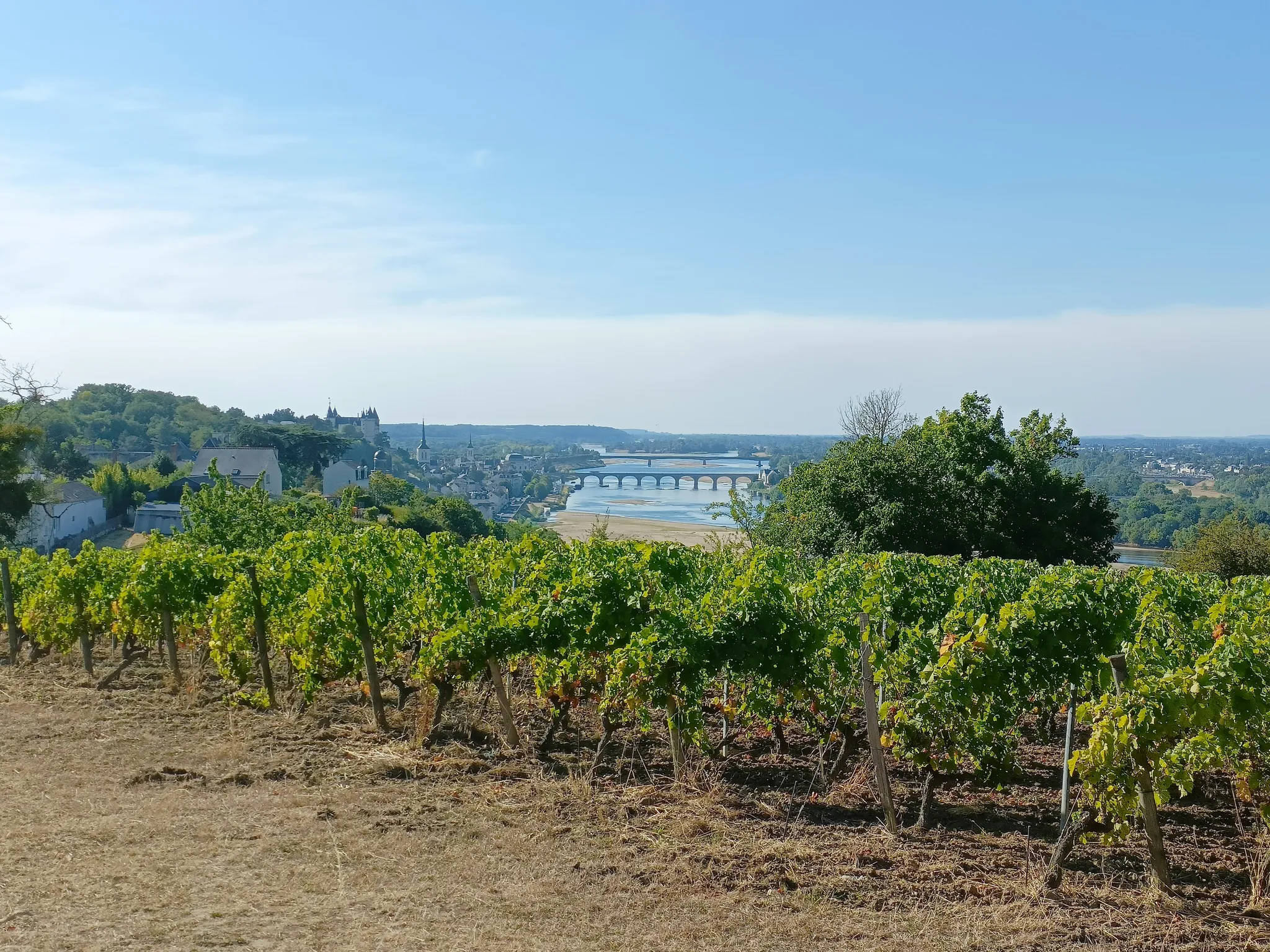
GR3 from the ocean to its source – The Loire, a wild European river
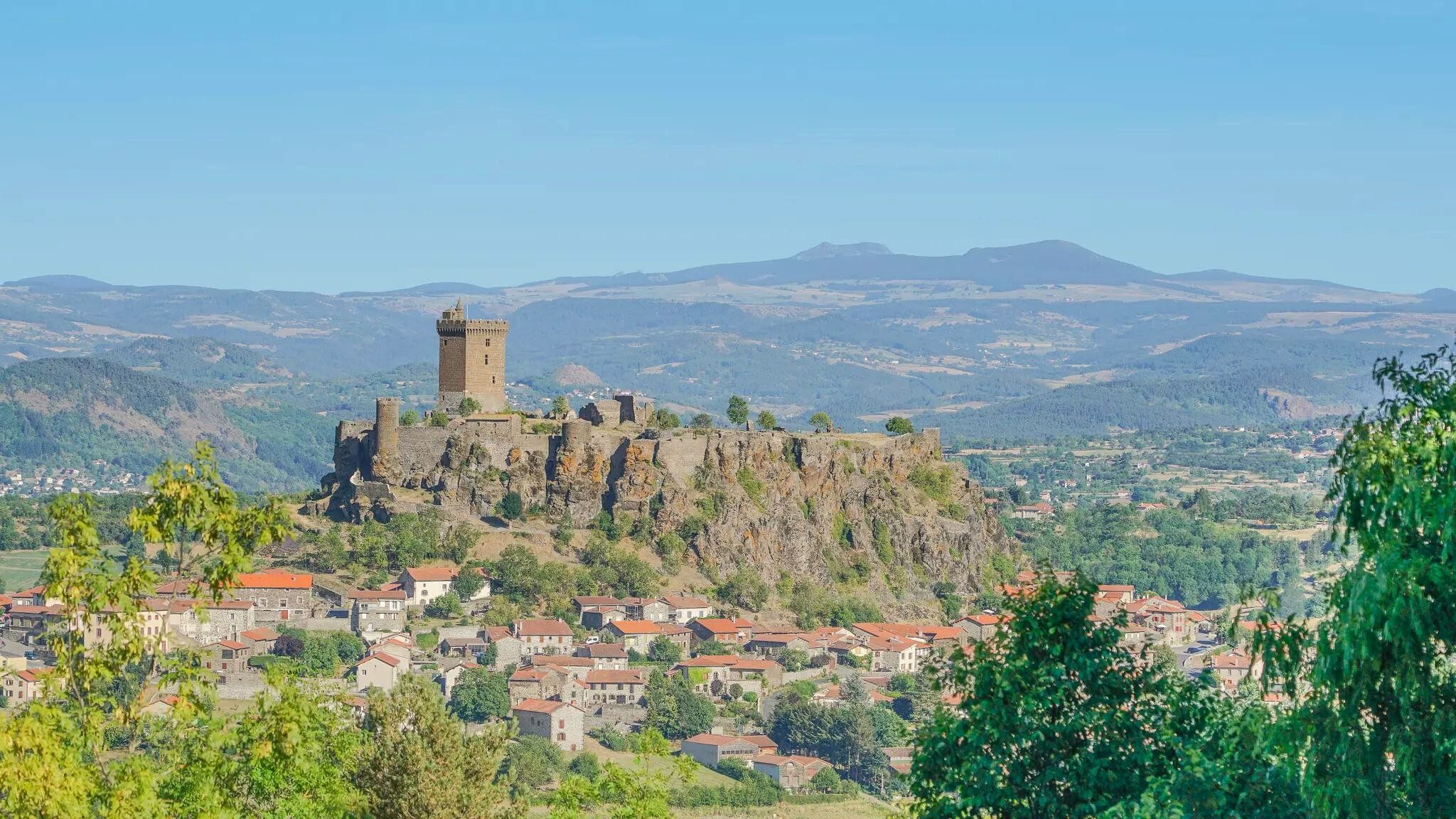
The Loire from ocean to source – GR 3 between Chabreloche and Puy-en-Velay
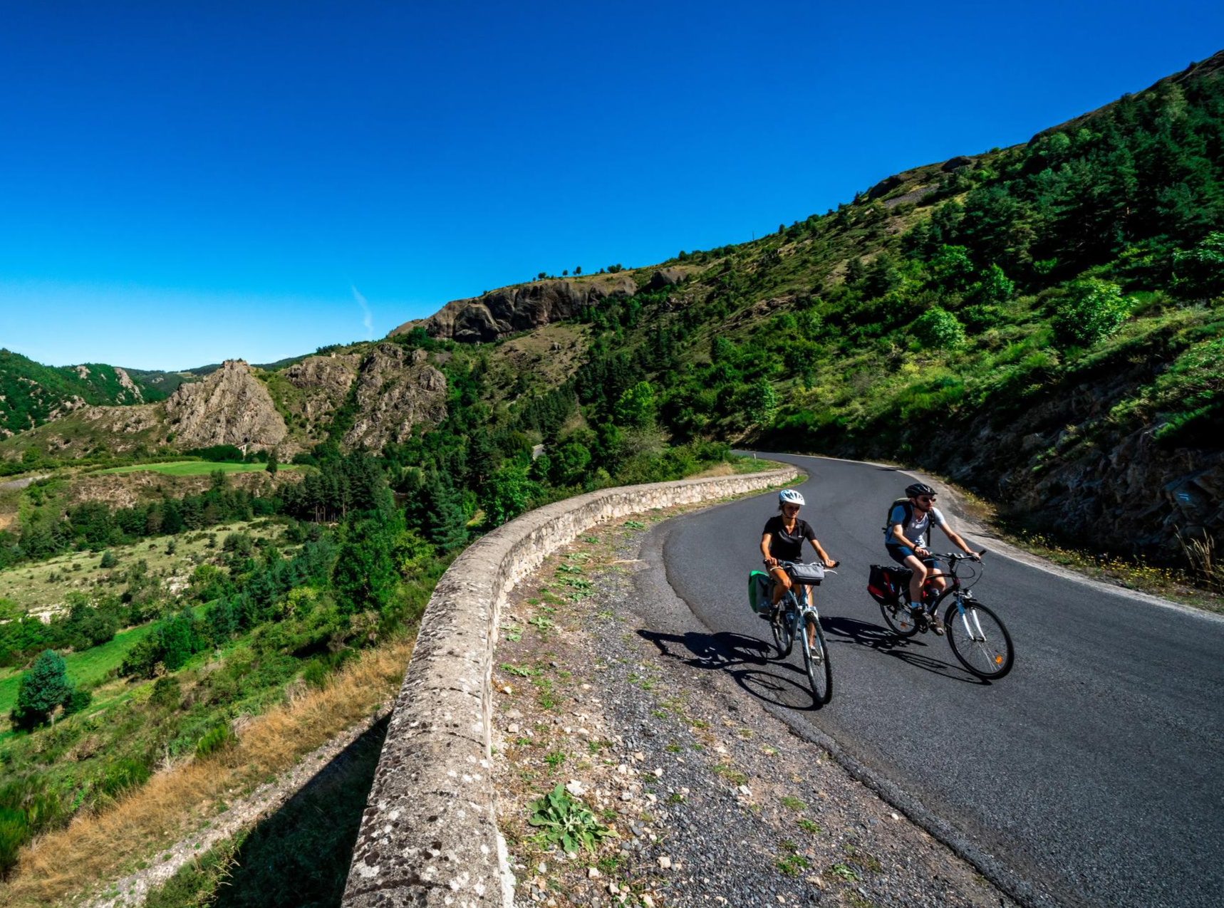
Via Allier – The Auvergne cycle route
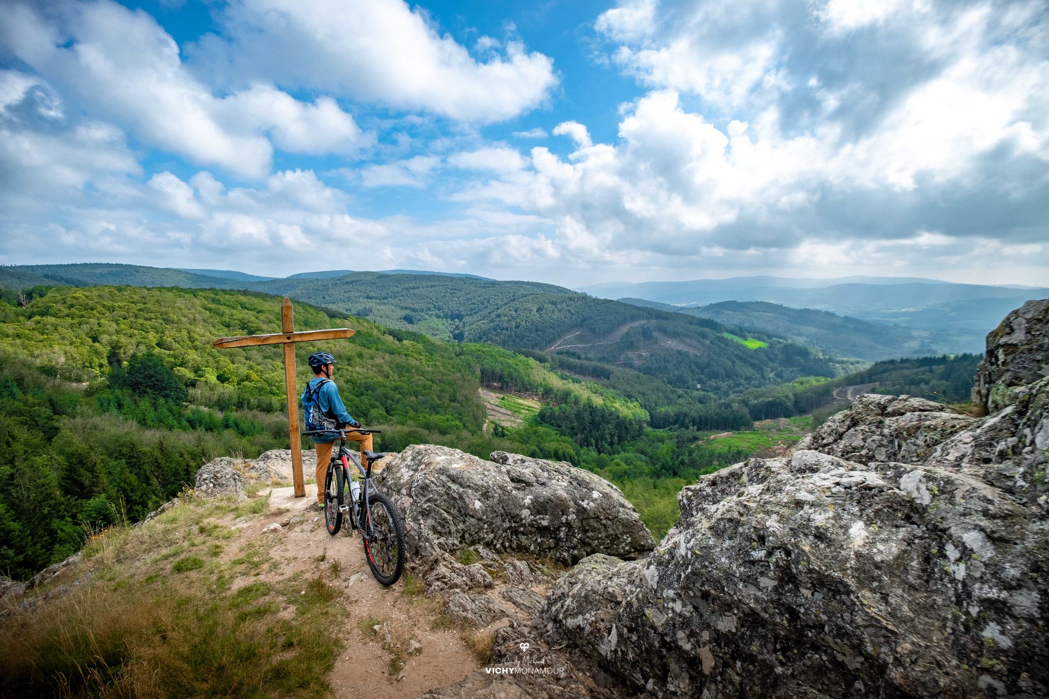
Destination Grand'R — the largest FFC-MTB area in France

Puy-de-Dôme – the Volcanoes of Auvergne by MTB

Hills, gorges, and forests – Grande Traversée de la Haute-Loire by MTB

Conquering the trails – Auvergne by MTB
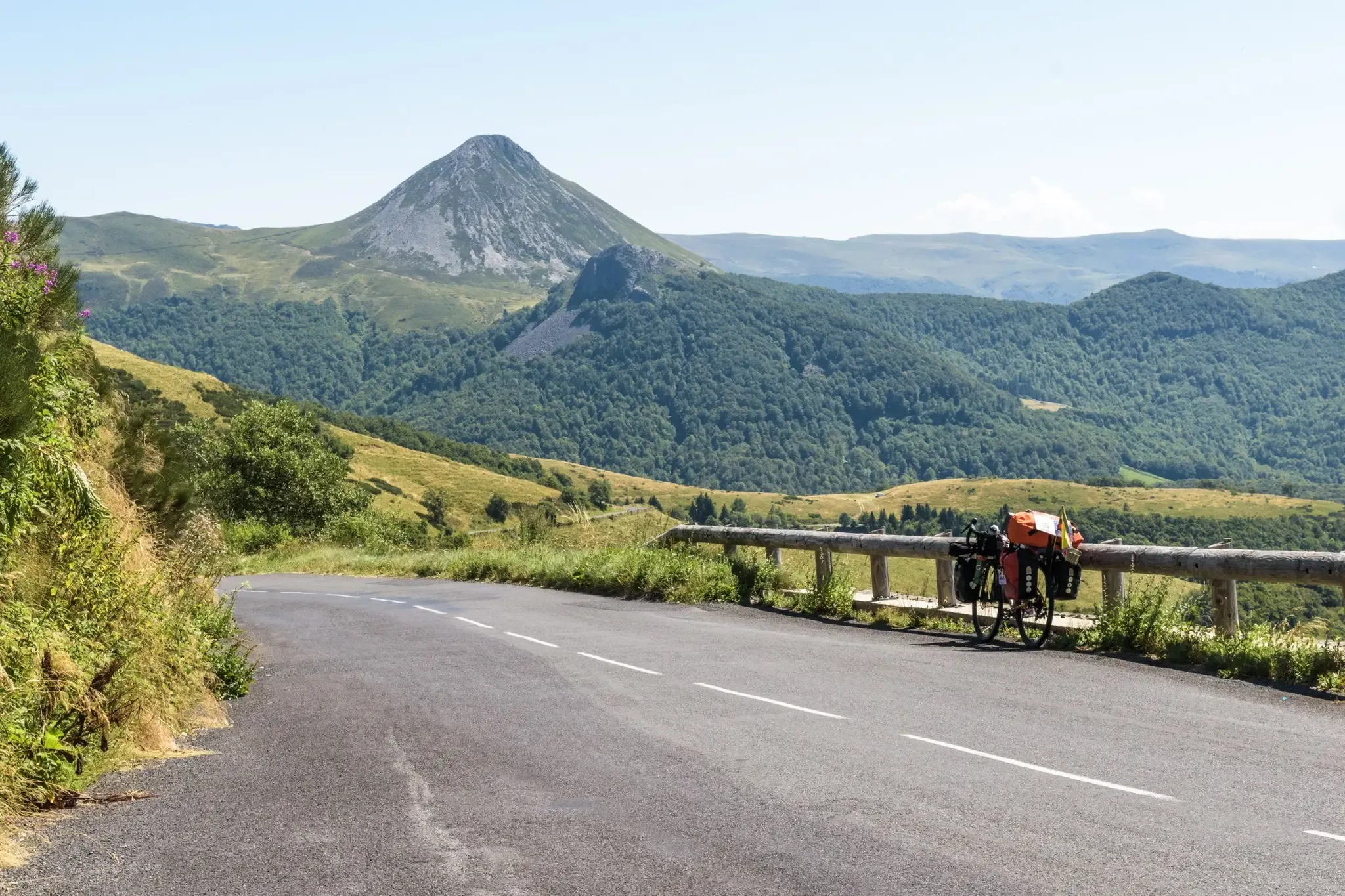
The Via Allier and the GT2V — road cycling in Auvergne
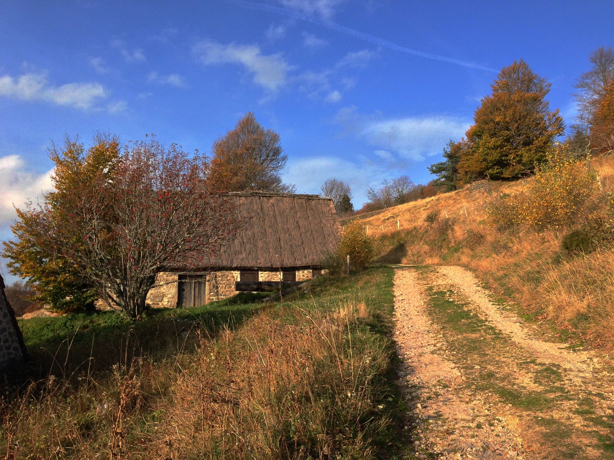
Local produce and traditions – Tour of the Livradois-Forez by MTB
Other adventures in Livradois-Forez


Tips from the Community

very nice hike to do
0
0
Beautiful view, flea market day, the village was crowded
0
0
Well, it wasn't a deluge, but enough to guess what a feast for the eyes we'll have in the spring after the thaw. In any case, it's refreshing and the perfect time and place to put your feet in the water and enjoy a picnic.
0
0

A wonderful, extremely varied hike starting from the volcanic crater is highly recommended.
0
0

The church of Saint-Germain-l'Herm is of Romanesque-Gothic style. Its nave was rebuilt in 1500.
0
0

magnificent basalt organ wall with a reflection in the pond
0
0

View of the town of Saint-Germain-l'Herm, accompanied by an explanatory panel on the town.
0
0
Frequently Asked Questions
How many waterfall hiking trails are there in Livradois-Forez?
Livradois-Forez offers over 30 waterfall hiking trails. These routes traverse a diverse landscape of mid-mountain regions, expansive forests, and glacial valleys, providing options for various skill levels.
Are there easy waterfall hikes suitable for beginners in Livradois-Forez?
Yes, Livradois-Forez has several easy waterfall hikes perfect for beginners. There are 5 routes classified as easy, alongside 26 moderate and 1 difficult trail, ensuring options for all experience levels.
What do other hikers enjoy most about waterfall hiking in Livradois-Forez?
The komoot community highly rates the waterfall trails in Livradois-Forez, with an average score of 4.6 stars from over 1300 reviews. Hikers often praise the region's diverse terrain, from volcanic formations to serene forests, and the beauty of its numerous watercourses and waterfalls.
Are there any circular waterfall walks in Livradois-Forez?
Yes, many waterfall trails in Livradois-Forez are designed as circular routes, allowing you to start and end at the same point. An example is the The waterfall - loop starting from Saint-Germain-L'Herm, which is a moderate 7.7-mile path.
Can I bring my dog on the waterfall hiking trails in Livradois-Forez?
Many trails within the Livradois-Forez Regional Natural Park are dog-friendly, but it's always best to check specific route regulations. Generally, dogs are welcome on a leash, especially in natural areas. Ensure your dog is comfortable with varied terrain and potential stream crossings.
Are there family-friendly waterfall hikes in Livradois-Forez?
Absolutely. The park offers several family-friendly options. Look for shorter, less strenuous routes with minimal elevation gain. The diverse landscapes, including forests and volcanic formations, provide engaging scenery for all ages. Always check the route details for distance and difficulty before heading out with children.
What are some notable natural features or landmarks near the waterfall trails?
Beyond the waterfalls themselves, the region boasts a rich geological history. You can explore volcanic formations like Montpeloux, vast forests, and significant peat bogs. The Dore Valley, with its dynamic watercourses, is a central feature. You might also find interesting peaks such as Puy de Montoncel or picturesque lakes like Lake Aubusson nearby.
What is the best time of year to visit the waterfalls in Livradois-Forez?
The waterfalls in Livradois-Forez are beautiful year-round, but spring and autumn often offer the most spectacular views. In spring, snowmelt and rainfall ensure strong water flow, while autumn provides vibrant foliage. Summer is also popular, though water levels might be lower. Winter hikes can be magical, but require appropriate gear for potentially icy conditions.
Are there any amenities or places to eat near the waterfall trails?
While many trails are in natural, secluded areas, you can find amenities in nearby villages. For example, towns like Saillant and Saint-Germain-L'Herm, which are starting points for routes like the Creux de l'Oulette Waterfall – The Montpeloux Organ Pipes loop from Saillant, often have local restaurants, cafes, or accommodation options.
How long do waterfall hikes typically take in Livradois-Forez?
The duration of waterfall hikes varies depending on the trail's length and difficulty. For instance, the Creux de l'Oulette Trail, a moderate 7.9-mile route, typically takes around 3 hours 43 minutes. Shorter loops, like the Saint-Germain-l'Herm Church – Gomot Waterfall loop (5.4 miles), can be completed in about 2 hours 29 minutes.
Is public transport available to access waterfall hiking trails in Livradois-Forez?
Access to many trailheads in Livradois-Forez, especially those leading to waterfalls, often requires a car due to the rural nature of the Regional Natural Park. While some larger towns may have bus services, direct public transport to specific trail starting points can be limited. It's advisable to check local transport schedules in advance if you plan to rely on it.
Where can I park for waterfall hikes in Livradois-Forez?
Most popular waterfall trailheads in Livradois-Forez have designated parking areas, often in nearby villages or at specific points along access roads. For example, routes starting from Saint-Germain-L'Herm or Saillant typically offer parking facilities. Always look for signs or check route descriptions for specific parking information.
Most popular routes in Livradois-Forez
Most popular attractions in Livradois-Forez

Get inspired with the komoot mobile app


