The best waterfall hikes and walks around Parco naturale della Alta Valle Pesio e Tanaro
4.5
(3044)
18,459
hikers
25
hikes
Waterfall hiking trails around Parco naturale della Alta Valle Pesio e Tanaro traverse a landscape dominated by the Marguareis Massif, with elevations ranging from 750 meters to 2,651 meters. The region is characterized by extensive karst phenomena, including impressive resurgence points and diverse ecosystems that support both alpine and Mediterranean flora. Hikers will find lush vegetation, including vast forests of silver firs, beeches, and chestnut trees, alongside Scots pines and mountain pines.
Best waterfall hiking trails around Parco naturale della…
Last updated: July 7, 2026
4.7
(171)
601
hikers
7.95km
02:55
400m
400m
Moderate hike. Good fitness required. Mostly accessible paths. Sure-footedness required.
5.0
(11)
75
hikers
13.0km
05:51
970m
970m
Hard hike. Very good fitness required. Mostly accessible paths. Sure-footedness required.

Sign up for free
4.7
(23)
70
hikers
9.07km
04:43
790m
780m
Moderate hike. Good fitness required. Mostly accessible paths. Sure-footedness required.
4.8
(10)
55
hikers
10.8km
04:59
870m
870m
Moderate hike. Good fitness required. Mostly accessible paths. Sure-footedness required.
5.0
(1)
7
hikers
20.6km
09:24
1,390m
1,390m
Hard hike. Very good fitness required. Sure-footedness, sturdy shoes and alpine experience required.
Get access to more routes and recommendations from other explorers.
Sign up for free
Already have an account?
Our route recommendations are based on thousands of hikes, rides, and runs completed by other people on komoot.
Start today with a free account
Your next adventure awaits.
Login or Signup
Popular around Parco naturale della Alta Valle Pesio e Tanaro

Other adventures around Parco naturale della Alta Valle Pesio e Tanaro


Tips from the Community

Left home at 7 am, arrived at the Pian delle Gorre refuge at 8:30 am for breakfast and around 8:45 am departure for the tour… and to think that it was supposed to be just the Pis del Pesio loop… but then, arriving at the crossroads, I remembered Tissone's words who had been there just a week before and told me that the Pis doesn't wet, so what do I do, go see a waterfall without water?? No way!! And so off towards the Duca pass… then, arriving from the Duca… it was still early… alright, I got carried away… off towards the Garelli refuge… and back to the Pian delle Gorre refuge… a top day!!! I almost didn't deserve it!!! But that’s it!!! So, a big loop!! But damn me and damn these f…ing loop tours… ahahahah… a very positive first experience!!! I was home at 4:30 pm
0
0
... Duca e Garelli trail … show me the way Started from home at 7, arrived at Rifugio Pian delle Gorre at 8:30, breakfast and around 8:45 departure for the tour… and to think that it was supposed to be just the Pis del Pesio loop… but then, arriving at the crossroads, I remembered Tissone's words who had been there just a week before and told me that the Pis wasn't pissing anymore and so what do I do, go see a waterfall without water?? No way!! And so off towards Passo del Duca… then arriving from the Duca… it was still early… alright then I got carried away… off towards Rifugio Garelli… and back to Rifugio Pian delle Gorre… a top day!!! I almost didn't deserve it!!! But that’s it!!! So loop!! But damn me and damn these fucking loop trails… ahahahah … as a first experience very positive!!! At 16:30 I was home
0
0

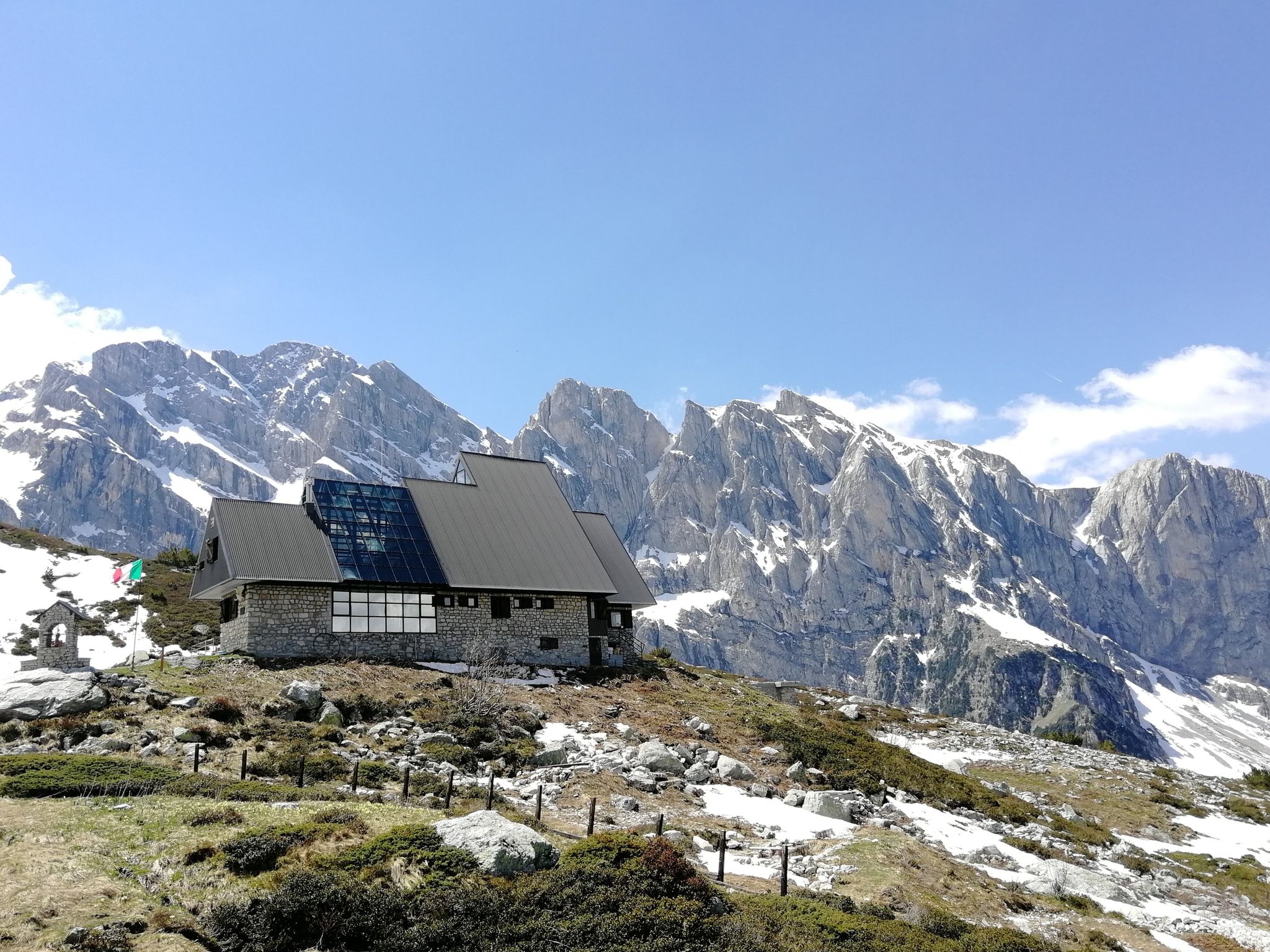
Located at 1,928 meters above sea level in the heart of the homonymous Natural Park, this small alpine body of water lies in a picturesque grassy hollow right at the foot and start of the famous Torinesi and Genovesi canals. Next to the lake is the Rifugio Garelli with the adjacent botanical station "Danilo Re". Being a protected area with a very high biodiversity value, it is the ideal place to stop and observe up close the rich flora typical of the park and, with a bit of attention, spot the chamois and marmots that inhabit the area.
0
0

The structure is a scientific hut dedicated to speleological research in the nearby Conca delle Carsene, managed by the Alpi Marittime Speleological Group.
0
0

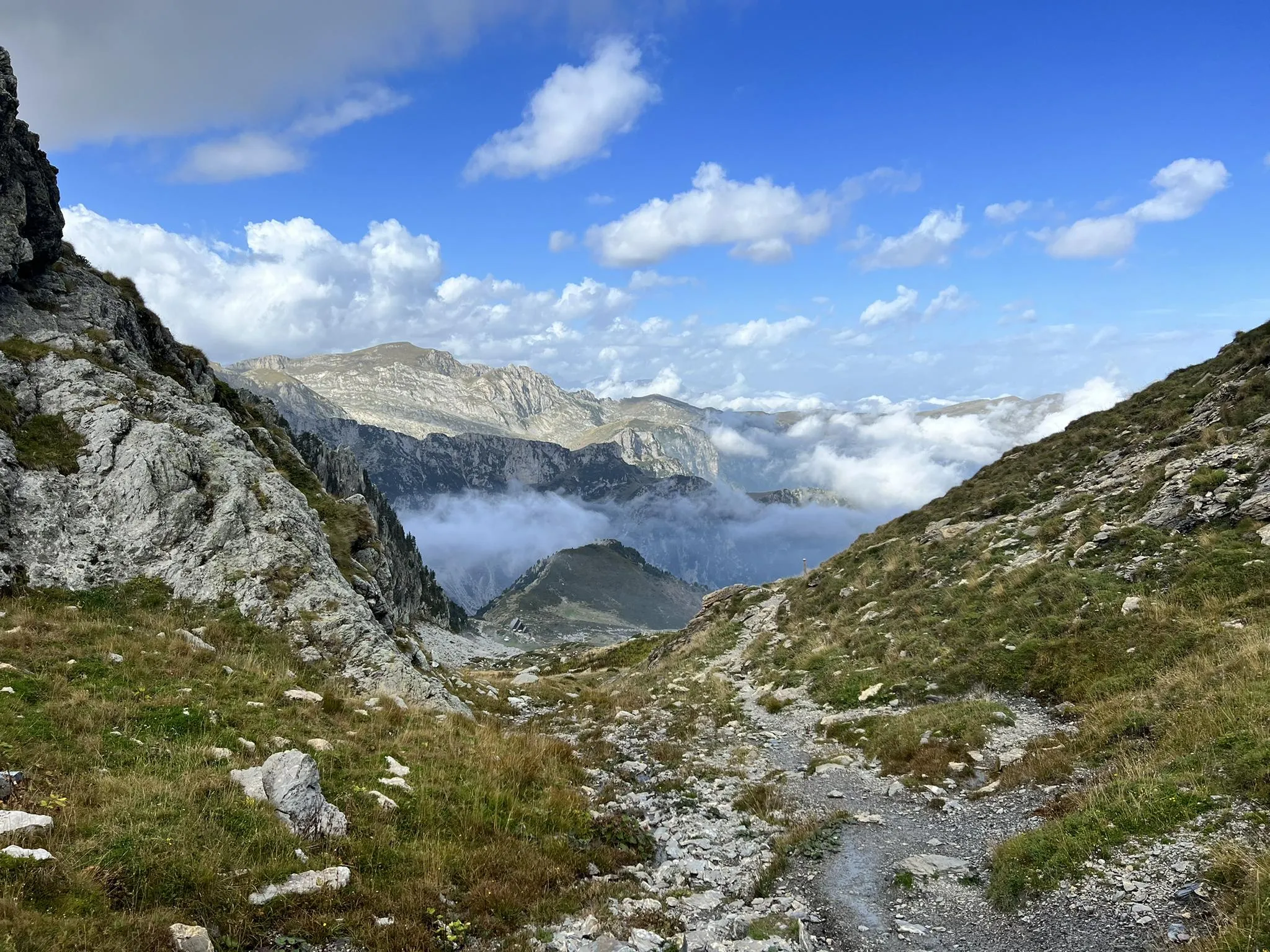
An Alpine pass that can be reached quite easily, if you follow the wide mule track that climbs in hairpin bends and that starts from Gias degli Arpi
0
0
Waterfall easily reachable from the homonymous locality Gias Fontana, which is located three quarters of an hour from Pian delle Gorre
0
0

Beautiful place, especially in winter it takes on an almost magical appearance.
0
0

Frequently Asked Questions
How many waterfall hiking trails are available in Parco naturale della Alta Valle Pesio e Tanaro?
The Parco naturale della Alta Valle Pesio e Tanaro offers over 25 dedicated waterfall hiking trails. These routes vary in difficulty, providing options for different experience levels.
What are the typical difficulty levels for waterfall hikes in this region?
You'll find a range of difficulty levels. There are a few easy routes, around 10 moderate trails, and approximately 15 more challenging hikes. This variety ensures options for beginners and experienced hikers alike.
What kind of terrain can I expect on waterfall hiking trails in Parco naturale della Alta Valle Pesio e Tanaro?
The terrain is quite diverse, ranging from lush forests of silver firs, beeches, and chestnut trees to more open areas with Scots pines and mountain pines. Due to the region's extensive karst landscape, you might encounter unique rock formations and resurgence points where underground rivers emerge, such as the Pis del Pesio waterfall.
Are there any family-friendly waterfall hikes in the park?
Yes, there are several options suitable for families. For a moderate and scenic experience, consider the From Pian delle Gorre Refuge to the waterfalls — Ring tour. This 4.9-mile route takes about 3 hours and offers beautiful views of the cascades.
Can I bring my dog on the waterfall trails?
Many trails in Parco naturale della Alta Valle Pesio e Tanaro are dog-friendly, but it's always best to check specific trail regulations before you go. Ensure your dog is on a leash and that you carry waste bags to help preserve the park's natural beauty.
What is the best time of year to visit for waterfall hiking?
The spring and early summer months are often ideal, as snowmelt contributes to more powerful waterfalls. Autumn also offers stunning scenery with vibrant foliage. While winter hikes can be beautiful, some trails may be inaccessible due to snow and ice.
Are there circular waterfall routes available?
Yes, there are several loop trails that allow you to experience the waterfalls and return to your starting point without retracing your steps. The Rifugio Garelli Loop Trail is a challenging 8.1-mile option that provides panoramic views and a full circular experience.
What natural features or landmarks can I see near the waterfall trails?
Beyond the waterfalls themselves, the park is rich in natural beauty. You can explore the Pian delle Gorre area, which is a common starting point for many trails. The region is also home to impressive peaks like Saline Peak and the serene Marguareis Lake. The historical Certosa di Pesio, a Carthusian monastery, is also a significant cultural landmark nearby.
Are there other notable waterfalls to explore in the region?
Absolutely. In addition to those directly on the hiking routes, you can seek out other impressive cascades like the Saut Waterfalls, Waterfall Gias Fontana, and the prominent Pis del Pesio Waterfalls, which are a prime example of the park's unique karst resurgence points.
What do other hikers enjoy most about the waterfall trails in Parco naturale della Alta Valle Pesio e Tanaro?
The trails are highly rated by the komoot community, with an average score of 4.6 stars from over 800 reviews. Hikers often praise the dramatic alpine scenery, the unique karst features, and the exceptional biodiversity. The well-developed network of trails offers engaging outdoor challenges amidst natural beauty.
Is parking available near the trailheads for waterfall hikes?
Yes, parking is generally available at common access points, such as near the Pian delle Gorre Refuge or other starting points for popular trails. It's advisable to arrive early during peak season to secure a spot.
How can I reach the waterfall trails using public transport?
While public transport options might be limited directly to all trailheads, some areas, like the Certosa di Pesio, serve as primary access points and may be reachable by local bus services. It's recommended to check local transport schedules in advance, especially for routes deeper into the park.
What should I wear for waterfall hiking in this region?
Given the varied terrain and potential for changing weather, layered clothing is recommended. Sturdy, waterproof hiking boots with good grip are essential, as trails can be wet or rocky near waterfalls. Bringing a waterproof jacket, even in summer, is also a good idea.
Most popular routes around Parco naturale della Alta Valle Pesio e Tanaro
Most popular attractions around Parco naturale della Alta Valle Pesio e Tanaro

Get inspired with the komoot mobile app


Explore more
Browse the best Hikes in other regions.
