The best waterfall hikes and walks around Pentland Hills Regional Park
4.6
(1773)
22,292
hikers
3
hikes
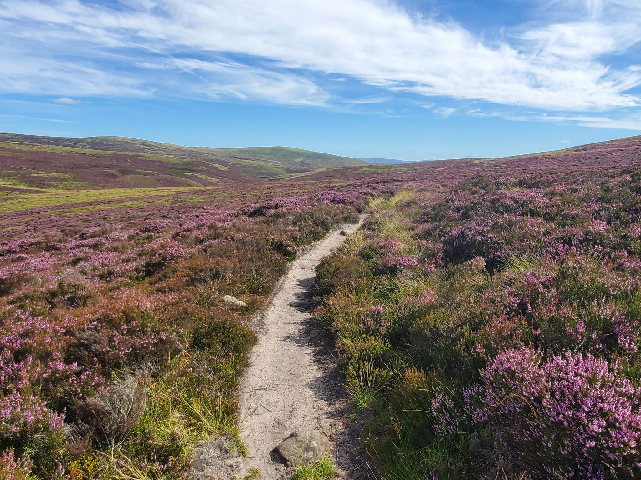
Waterfall hiking trails around Pentland Hills Regional Park offer a diverse landscape characterized by rolling moorland hills, extensive woodlands, and numerous reservoirs. The park spans approximately 10,000 hectares, providing varied terrain from steady climbs to open ridgelines. This region features a network of paths that traverse ancient geological formations and provide panoramic views. The landscape includes heather moorland, open grassland, and vital habitats around its ten reservoirs.
Best waterfall hiking trails around Pentland Hills Regional Park
- The most popular waterfall…
Last updated: July 7, 2026
4.0
(1)
4
hikers
18.4km
04:46
100m
100m
Moderate hike. Good fitness required. Easily-accessible paths. Suitable for all skill levels.
4.0
(1)
5
hikers
Moderate hike. Good fitness required. Easily-accessible paths. Suitable for all skill levels.

Sign up for free
2
hikers
Moderate hike. Good fitness required. Easily-accessible paths. Suitable for all skill levels.
Our route recommendations are based on thousands of hikes, rides, and runs completed by other people on komoot.
Start today with a free account
Your next adventure awaits.
Login or Signup
Popular around Pentland Hills Regional Park
Other adventures around Pentland Hills Regional Park

Tips from the Community

Drop into the centre for a fascinating experience of the shale industry in West Lothian
0
0
Frequently Asked Questions
How many waterfall hiking trails are available in Pentland Hills Regional Park?
There are 3 dedicated waterfall hiking trails around Pentland Hills Regional Park featured in this guide. These routes offer diverse landscapes and varied terrain, all rated as moderate difficulty.
What kind of waterfalls can I expect to see in Pentland Hills Regional Park?
While the Pentland Hills are known for their rolling moorland and reservoirs, the waterfall trails in this guide, such as the Fish Pass Waterfall – Almond Valley Heritage Trust loop from Livingston, feature charming cascades like the Fish Pass Waterfall. These are often smaller, picturesque falls nestled within the varied terrain of woodlands and streams.
Are there any family-friendly waterfall hikes in the Pentland Hills?
The waterfall hikes in this guide are generally rated as moderate, with distances ranging from 8.7 to 11.8 miles. While suitable for active families, younger children might find the longer distances challenging. Always check the specific route details for elevation and duration to determine suitability for your family.
Can I bring my dog on waterfall hikes in Pentland Hills Regional Park?
Yes, dogs are generally welcome on trails in Pentland Hills Regional Park. However, it's important to keep them under control, especially around livestock and wildlife. Some areas may require dogs to be on a lead. Always follow the Scottish Outdoor Access Code and be mindful of other hikers and the natural environment.
What are the best times of year to visit Pentland Hills for waterfall hikes?
The Pentland Hills offer beautiful hiking opportunities year-round. Spring and autumn provide pleasant temperatures and vibrant scenery, with autumn foliage being particularly striking. During wetter periods, waterfalls will be at their most impressive. Summer is also popular, but trails can be busier. Winter hikes are possible but require appropriate gear for potentially icy or muddy conditions.
Are there circular routes available for waterfall hikes in the Pentland Hills?
Yes, all the waterfall hiking trails featured in this guide are circular routes. For example, you can explore the Fish Pass Waterfall – Almond Valley Heritage Trust loop from West Calder, which offers a complete circuit back to your starting point.
What other natural features or landmarks can I see near the waterfall trails?
Beyond the waterfalls, the Pentland Hills Regional Park is rich in natural beauty. You can encounter diverse landscapes including rolling moorland, woodlands, and several scenic reservoirs like Glencorse Reservoir and Loganlea Reservoir. The park also features prominent hills such as Scald Law Summit and Carnethy Hill, offering panoramic views.
Where can I park when visiting the waterfall hiking trails in Pentland Hills Regional Park?
Parking is available at various access points around Pentland Hills Regional Park. Specific parking details will depend on the trailhead you choose. For routes like the Almond Valley Heritage Trust – Stream Crossing Near Balerno loop from West Calder, you would typically find parking facilities near the starting points in towns like West Calder or Livingston.
Is public transport available to access the waterfall hiking trails?
Yes, public transport options are available to reach various parts of Pentland Hills Regional Park. Buses from Edinburgh serve several entry points, making it possible to access trails without a car. It's advisable to check local bus schedules and routes that connect to towns near the trailheads, such as Livingston or West Calder.
What do other hikers say about the waterfall trails in Pentland Hills Regional Park?
The trails in Pentland Hills Regional Park are highly rated by the komoot community, with an average score of 4.7 stars from over 1000 reviews. Hikers often praise the varied terrain, scenic views, and the opportunity to experience both natural beauty and historical features. Over 9000 hikers have used komoot to explore the region's diverse paths.
What is the general difficulty level of waterfall hikes in this region?
All the waterfall hiking trails highlighted in this guide are classified as moderate difficulty. They involve varied terrain, including some steady climbs and open ridgelines, but are generally accessible to hikers with a reasonable level of fitness. The routes range from 8.7 to 11.8 miles in length.
Are there any facilities like cafes or pubs near the waterfall hiking trails?
While the trails themselves are immersed in nature, you can find facilities in the nearby towns and villages surrounding Pentland Hills Regional Park. Places like West Calder and Livingston, which serve as starting points for some routes, offer cafes, pubs, and other amenities for pre- or post-hike refreshments.
What should I know about the terrain on these waterfall hikes?
The terrain on waterfall hikes in Pentland Hills Regional Park is diverse, characterized by rolling moorland hills, woodlands, and paths along reservoirs. You can expect a mix of steady climbs, open ridgelines, and potentially muddy sections, especially after rain. Sturdy hiking boots are recommended for comfort and stability on these varied surfaces.
Most popular routes around Pentland Hills Regional Park
Most popular attractions around Pentland Hills Regional Park

Get inspired with the komoot mobile app


Explore more
Browse the best Hikes in other regions.
