The best road cycling routes around Kaperich
4.7
(200)
2,861
riders
196
rides
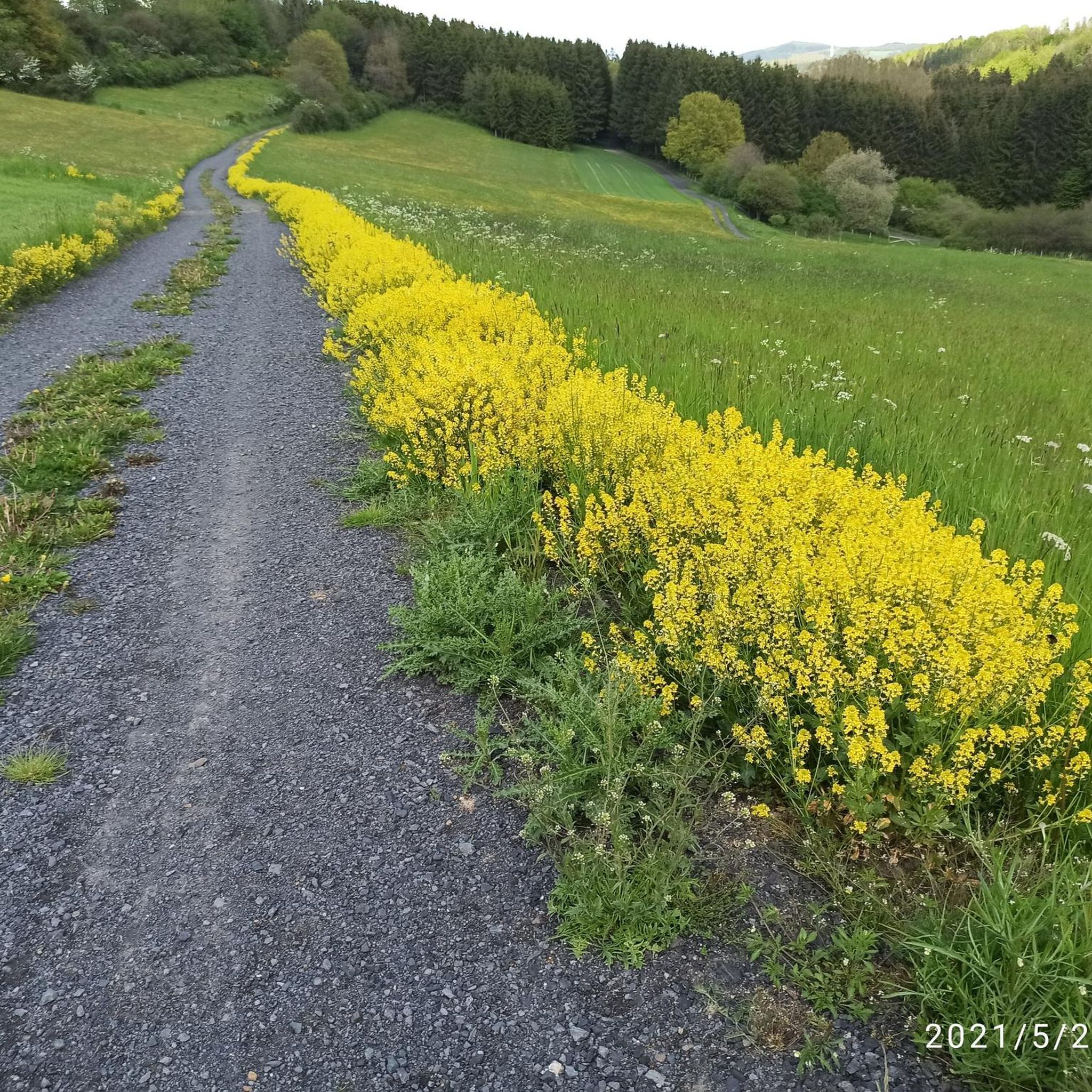
Road cycling routes around Kaperich are set within Germany's Vulkaneifel district, characterized by volcanic formations, green hills, and forests. The region features varied elevations, offering both challenging climbs and panoramic views. Cyclists can expect to traverse landscapes near the river Kyll, with many routes featuring paved surfaces.
Best road cycling routes around Kaperich
- The most popular road cycling route is Geisberg – Bergkrone Mine Tunnel loop from Gunderath, a 19.1 miles (30.8 km) trail that takes 1 hour 29…
Last updated: June 26, 2026
4.5
(4)
102
riders
30.2km
01:26
370m
370m
Moderate road ride. Good fitness required. Mostly well-paved surfaces and easy to ride.
5.0
(1)
49
riders
Moderate road ride. Good fitness required. Mostly well-paved surfaces and easy to ride.

Sign up for free
18
riders
59.9km
03:03
1,000m
1,000m
Hard road ride. Very good fitness required. Some segments of this route may be unpaved and difficult to ride.
5.0
(1)
16
riders
39.5km
01:55
520m
520m
Moderate road ride. Good fitness required. Some segments of this route may be unpaved and difficult to ride.
10
riders
33.2km
01:40
540m
530m
Moderate road ride. Good fitness required. Some segments of this route may be unpaved and difficult to ride.
Get access to more routes and recommendations from other explorers.
Sign up for free
Already have an account?
Our route recommendations are based on thousands of hikes, rides, and runs completed by other people on komoot.
Start today with a free account
Your next adventure awaits.
Login or Signup
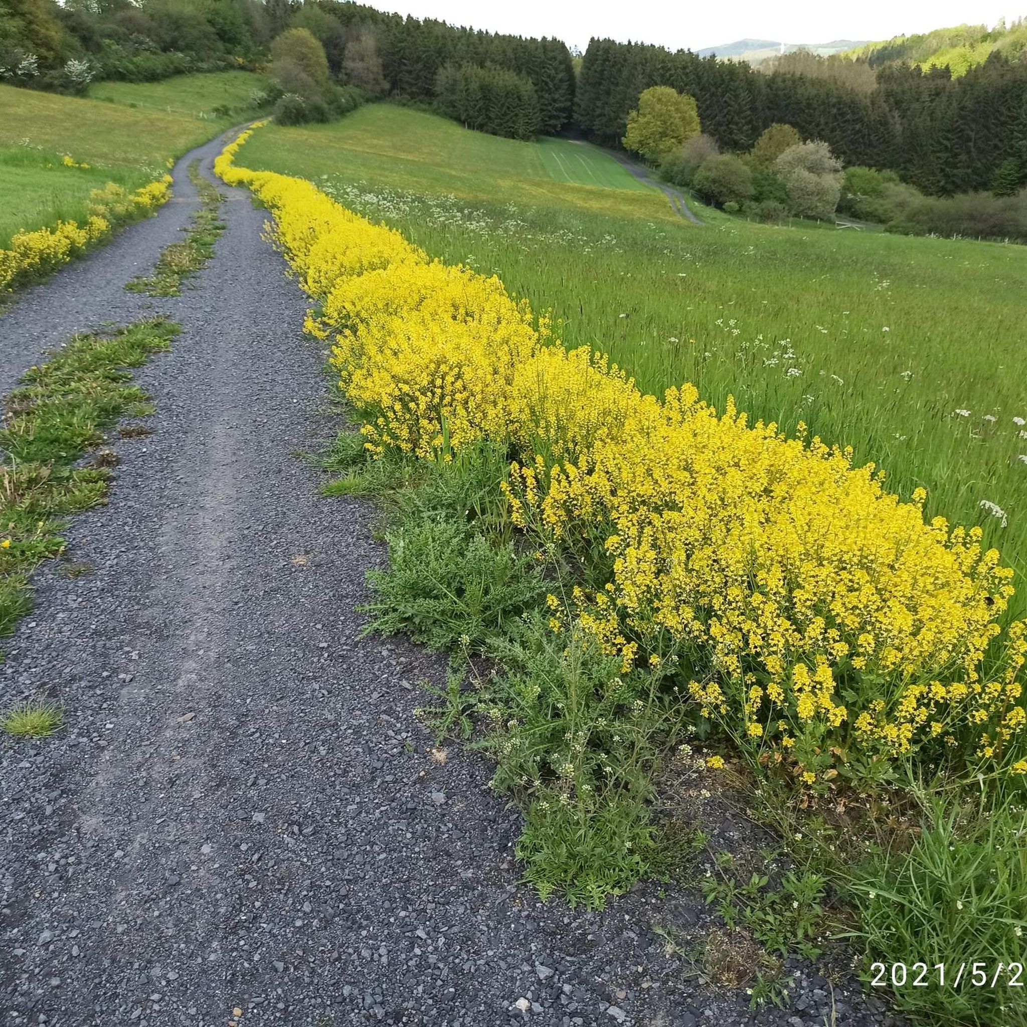
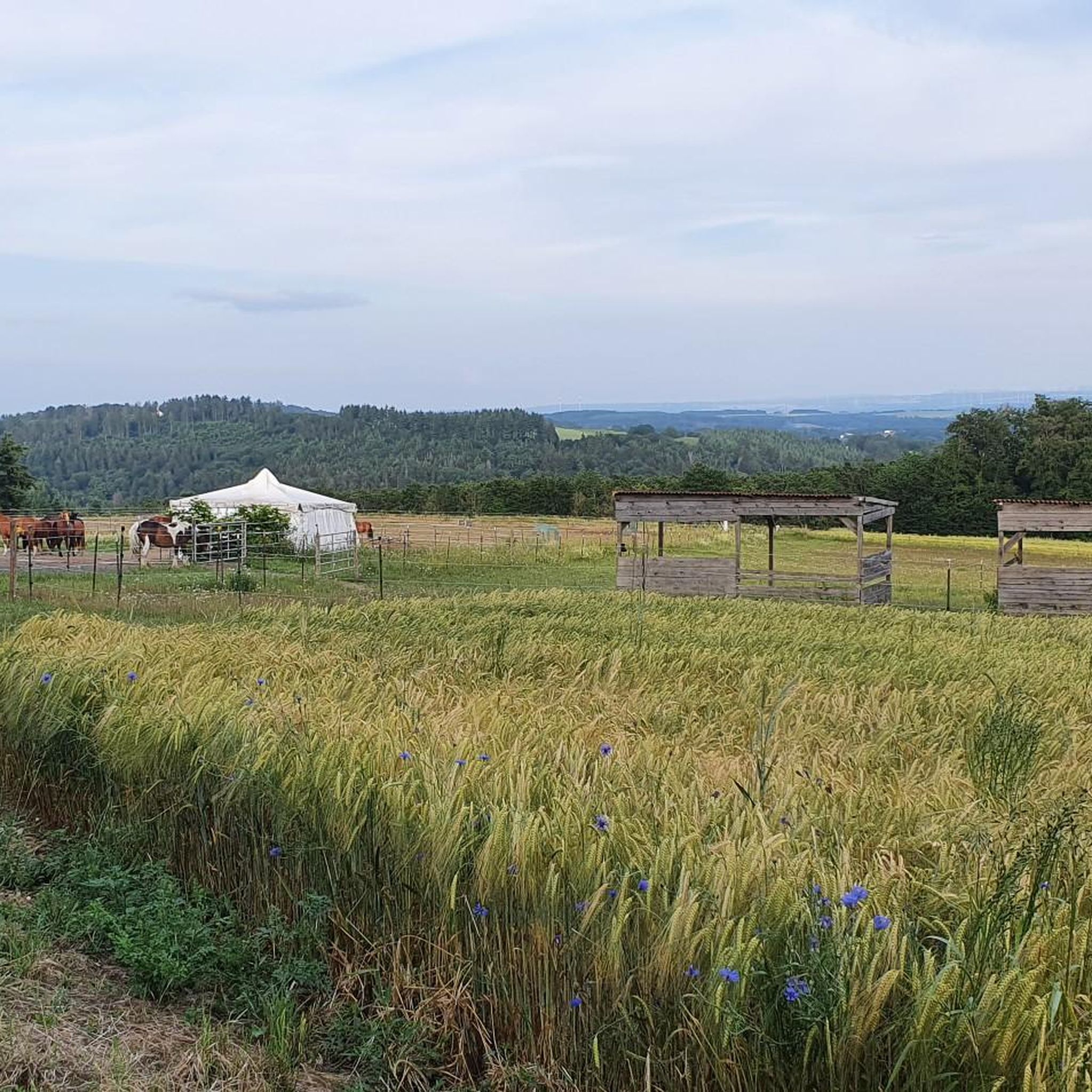
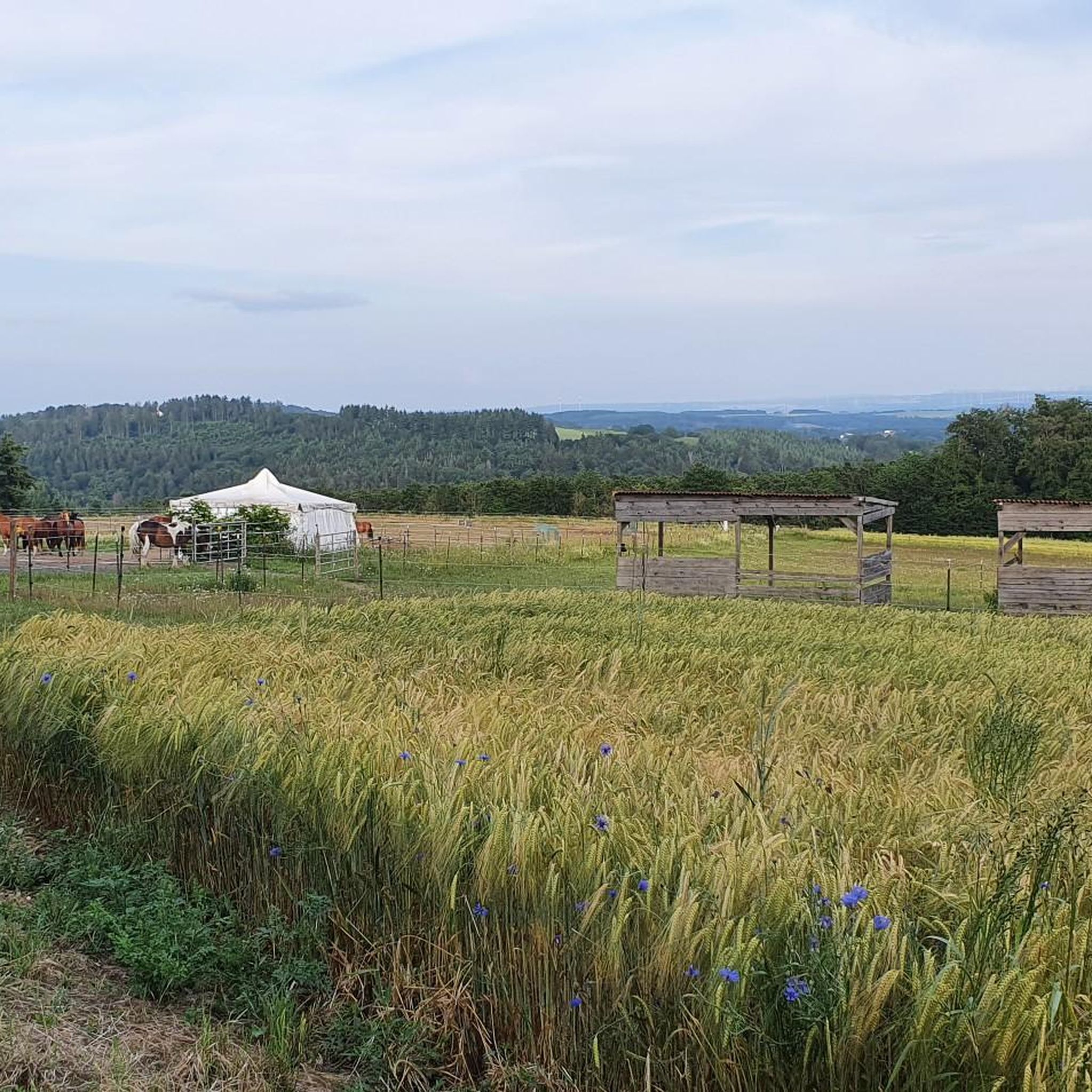
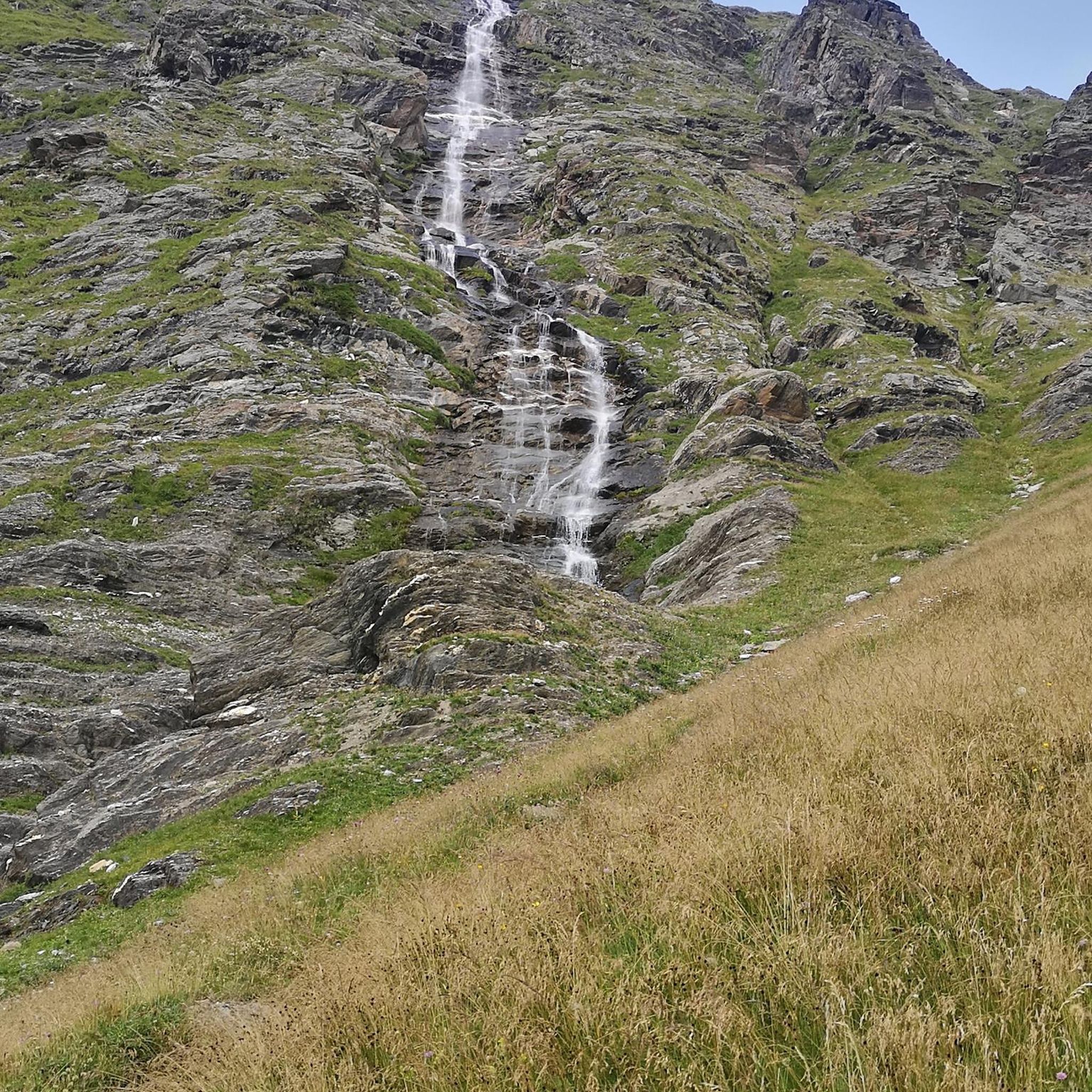
Tips from the Community

Great destination for families with children, it's worth it👍🏽👌🏽
1
0

Unfortunately, it's only open from Thursday to Sunday; we were there on Wednesday 😕
1
0

The oldest part of Bürresheim Castle is the imposing keep, a 12th-century tower that clearly reflects the castle's defensive origins. Over time, the castle developed into a complex double complex, consisting of the so-called Cologne Castle and the Trier Castle, which underwent different construction and expansion phases. While the Cologne Castle formed the older part and primarily served economic purposes—leading to its eventual decline—the Trier Castle was transformed into a prestigious residential palace, which continues to shape the character of the entire complex to this day.
4
0

From 13:00 o'clock many people are out and about when the sun ☀️ shines
0
0

The lower castle has completely disappeared. You can still see the beginning of the ring that connected the lower castle and the Ulmen city wall, a two-story outer wall of the palace, as well as a cistern and some foundation walls of other buildings. The old part of Ulmen Castle was built around 1074 AD and likely rests on the remains of a Roman settlement. In the Middle Ages, Ulmen Castle was further expanded and divided into the upper castle, whose remains of the walls still exist, and the lower castle, which extended to the banks of the maar river. Two knightly families lived in the castle, which is believed to have never been attacked or destroyed until 1673 due to its size. Only the Sun King's troops succeeded. It was rebuilt, but fell again in 1689 during the War of the Succession. However, Ulmen Castle was also rebuilt this time, with only the city wall being abandoned. With the invasion of Napoleon's soldiers, Ulmen also became French and later Prussian. The empty castle, whose last descendant died in 1801, was auctioned to a merchant from Cochem, who sold it as a quarry. When a devastating fire burned Ulmen to the ground in the 19th century, the residents of Ulmen rebuilt their houses with stones from the castle. That's why you can still see a coat of arms on some of the stables today. It wasn't until the early twentieth century that Ulmen Castle was declared a listed building and became the property of the municipality of Ulmen. The castle is always freely accessible.
7
0

The late Gothic castle was besieged, destroyed, and rebuilt several times over the course of its eventful history. The current complex consists of the upper castle with the 34-meter-high Golo Tower and the slightly lower outer castle. The castle is protected from the city by a large castle gate, and on the other side by the keep and a moat complex. The former moat is now a ring road spanned by a 20-meter-long Gothic stone bridge. The Genovevaburg Castle houses two exhibitions of the Eifel Museum: EifelTotal and the German Slate Mine.
10
0
The castle belongs to the municipality of Sankt Johann in Rhineland-Palatinate and is located northwest of Mayen on a rocky outcrop at the confluence of the Nitzbach and Nette rivers. Along with Eltz Castle and Lissingen Castle, Bürresheim Castle is one of the few aristocratic residences in the Eifel region that was never conquered or destroyed, surviving unscathed both the wars of the 17th and 18th centuries and the social upheavals resulting from the French Revolution. Its history was largely shaped by its location on the border between the two ecclesiastical electorates of Cologne and Trier.
10
0

Not far from the beautiful viewpoint in Höchstberg is the Ulmener Maar
0
0
Frequently Asked Questions
How many road cycling routes are available around Kaperich?
The Kaperich region offers a wide selection of road cycling routes, with over 190 tours available. These routes cater to various skill levels, from moderate to difficult, ensuring there's something for every road cyclist.
What kind of terrain and landscapes can I expect on road cycling routes in Kaperich?
Road cycling around Kaperich is characterized by the picturesque Vulkaneifel landscape. You'll encounter a magical combination of volcanic formations, green hills, and forests, often traversing areas near the river Kyll. The varied elevations provide both challenging climbs and rewarding panoramic views over the Vulkaneifel.
Are the road cycling routes around Kaperich mostly paved?
Yes, many of the road cycling routes in the Kaperich region feature mostly paved surfaces, ensuring a smooth experience for road cyclists. This makes the area ideal for those looking for dedicated road biking conditions.
What are the typical elevation profiles for road cycling routes in the Kaperich region?
The Vulkaneifel landscape around Kaperich offers varied elevations. You can find routes with significant climbs, providing a challenge for experienced cyclists, as well as easier rides with minimal elevation gain. For example, the Upper Castle of Ulmen – Kasper from the Town Hall Statue loop from Lirstal features over 800 meters of ascent, while the St. Antonius Church – Bergkrone Mine Tunnel loop from Gunderath has around 220 meters of elevation gain.
What natural features and landmarks can I see while road cycling around Kaperich?
The Kaperich region is rich in natural beauty and historical sites. You can cycle past volcanic formations, clear streams, and green hills. Notable attractions include the dry maar Mosbruch and the Hochkelberg. Routes like the Geisberg – Bergkrone Mine Tunnel loop from Gunderath explore an old slate mine, while the View of Cochem Castle (Reichsburg Cochem) – Maria Engelport Monastery loop from Büchel offers views of historic sites.
Are there any specific routes that pass by notable attractions?
Absolutely! Many routes incorporate local landmarks. For instance, the Geisberg – Bergkrone Mine Tunnel loop from Gunderath passes by the historic Bergkrone Mine Tunnel. You might also encounter the Upper Castle of Ulmen or the Ulmener Maar on routes in the area, such as the Upper Castle of Ulmen – Kasper from the Town Hall Statue loop from Lirstal.
What do other road cyclists enjoy most about road cycling in Kaperich?
The road cycling routes around Kaperich are highly rated by the komoot community, with an average score of 4.6 stars from over 180 reviews. Cyclists often praise the region's diverse terrain, the impressive Vulkaneifel scenery, and the well-maintained paved surfaces that make for an enjoyable ride.
What is the best time of year for road biking in Kaperich?
The Kaperich region is appealing for road cycling from spring to autumn due to its mild weather. These seasons offer ideal conditions for exploring the green hills and forests. While charming in winter, snowy landscapes might present a different experience for road cyclists.
Are there any family-friendly road cycling routes in Kaperich?
Yes, Kaperich offers routes suitable for various fitness levels, including easier rides with minimal elevation gain that can be enjoyed by families. These routes often wind through idyllic forests and meadows, providing a pleasant experience for all.
Is parking available for cyclists near the road cycling routes in Kaperich?
While specific parking facilities for cyclists are not detailed, Kaperich is a village in a popular outdoor region. It is generally possible to find parking in or near the starting points of routes, especially in smaller towns or designated visitor areas.
How can I reach the road cycling routes in Kaperich using public transport?
Information on specific public transport links directly to trailheads is not readily available. However, Kaperich is located within the Vulkaneifel district, which typically has regional bus services connecting smaller towns. It's advisable to check local public transport schedules for connections to Kaperich or nearby larger towns.
Do I need any special permits for road cycling in the Kaperich region?
Generally, no special permits are required for road cycling on public roads and designated cycling paths in Germany's Vulkaneifel region. However, always respect local regulations and private property signs.
Most popular attractions around Kaperich

Get inspired with the komoot mobile app


Explore more
Browse the best Road cycling routes in other regions.
