The best waterfall hikes and walks around Bezirk Laufenburg
4.6
(1063)
4,625
hikers
12
hikes
Waterfall hiking trails around Bezirk Laufenburg traverse a landscape characterized by rolling hills, dense woodlands, and significant water features. The region's topography includes varied elevations, with many routes incorporating natural cascades and streams. These trails often lead through forested areas, offering a mix of shaded paths and open views. The terrain is generally accessible, with options ranging from gentle walks to more challenging ascents.
Best waterfall hiking trails around Bezirk Laufenburg
- The most popular waterfall hiking route is Linner Waterfall…
Last updated: October 10, 2026
4.6
(104)
307
hikers
4.28km
01:11
80m
80m
Easy hike. Great for any fitness level. Easily-accessible paths. Suitable for all skill levels.
4.2
(9)
32
hikers
11.4km
03:24
350m
350m
Moderate hike. Good fitness required. Easily-accessible paths. Suitable for all skill levels.

4.7
(11)
28
hikers
9.49km
02:44
240m
240m
Moderate hike. Good fitness required. Easily-accessible paths. Suitable for all skill levels.
4.2
(9)
33
hikers
6.44km
01:48
120m
120m
Easy hike. Great for any fitness level. Easily-accessible paths. Suitable for all skill levels.
4.7
(3)
10
hikers
10.6km
03:10
320m
320m
Moderate hike. Good fitness required. Mostly accessible paths. Sure-footedness required.
Get access to more routes and recommendations from other explorers.
Already have an account?
Our route recommendations are based on thousands of hikes, rides, and runs completed by other people on komoot.
Start today with a free account
Your next adventure awaits.
Popular around Bezirk Laufenburg
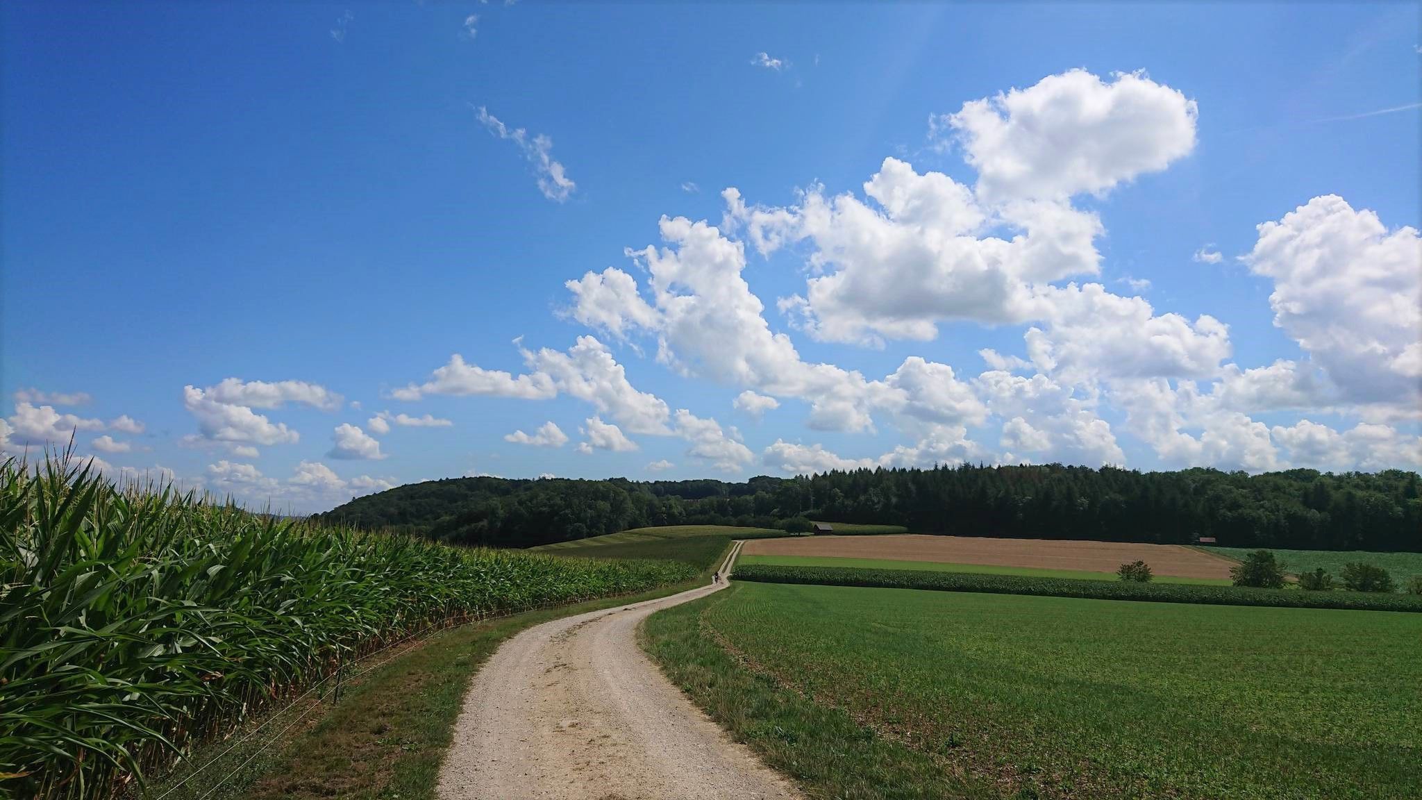
Fricktaler High Trail – Switzerland's green Frick Valley
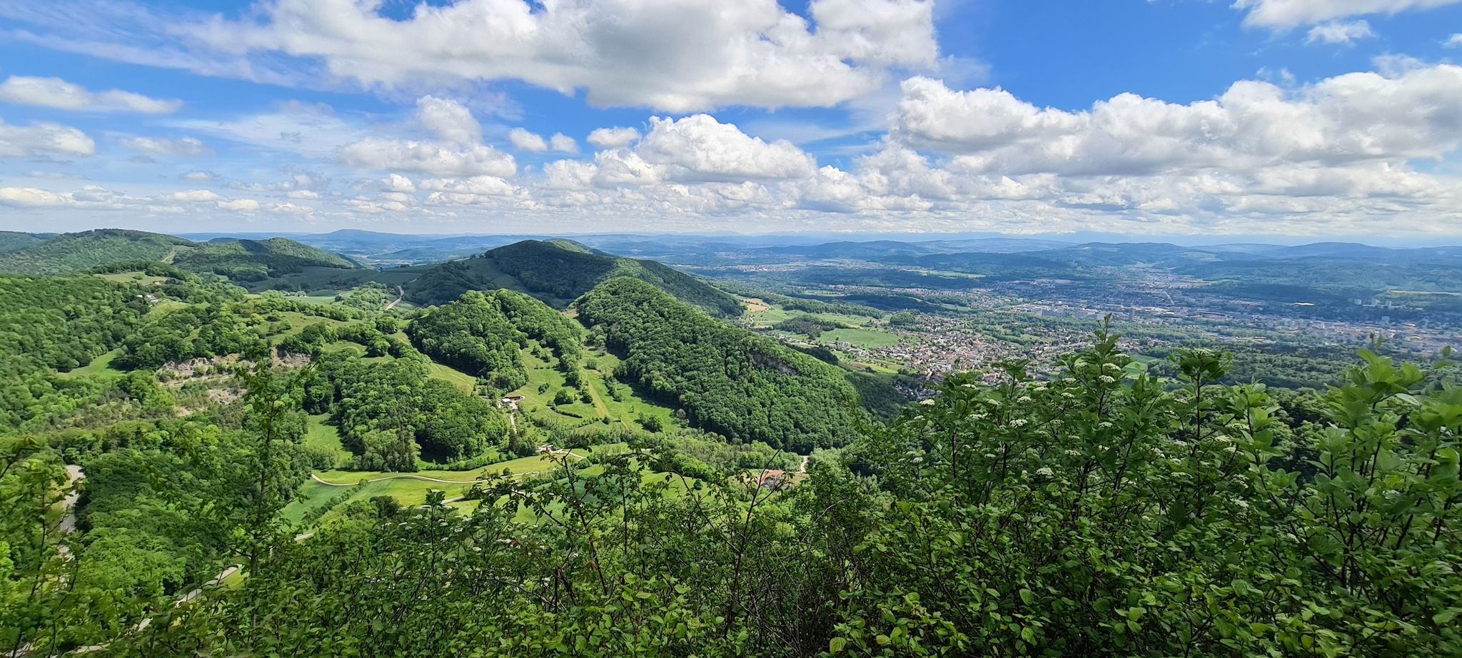
Aargauer Weg – The Habsburg dynasty and magnificent mountain
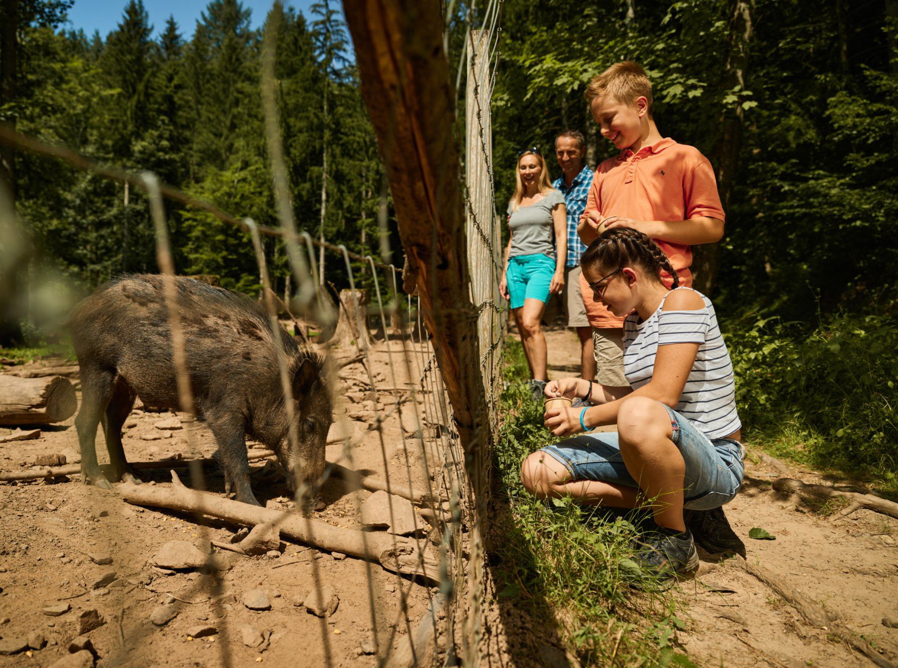
Animal Tours – family hikes in the southern Black Forest
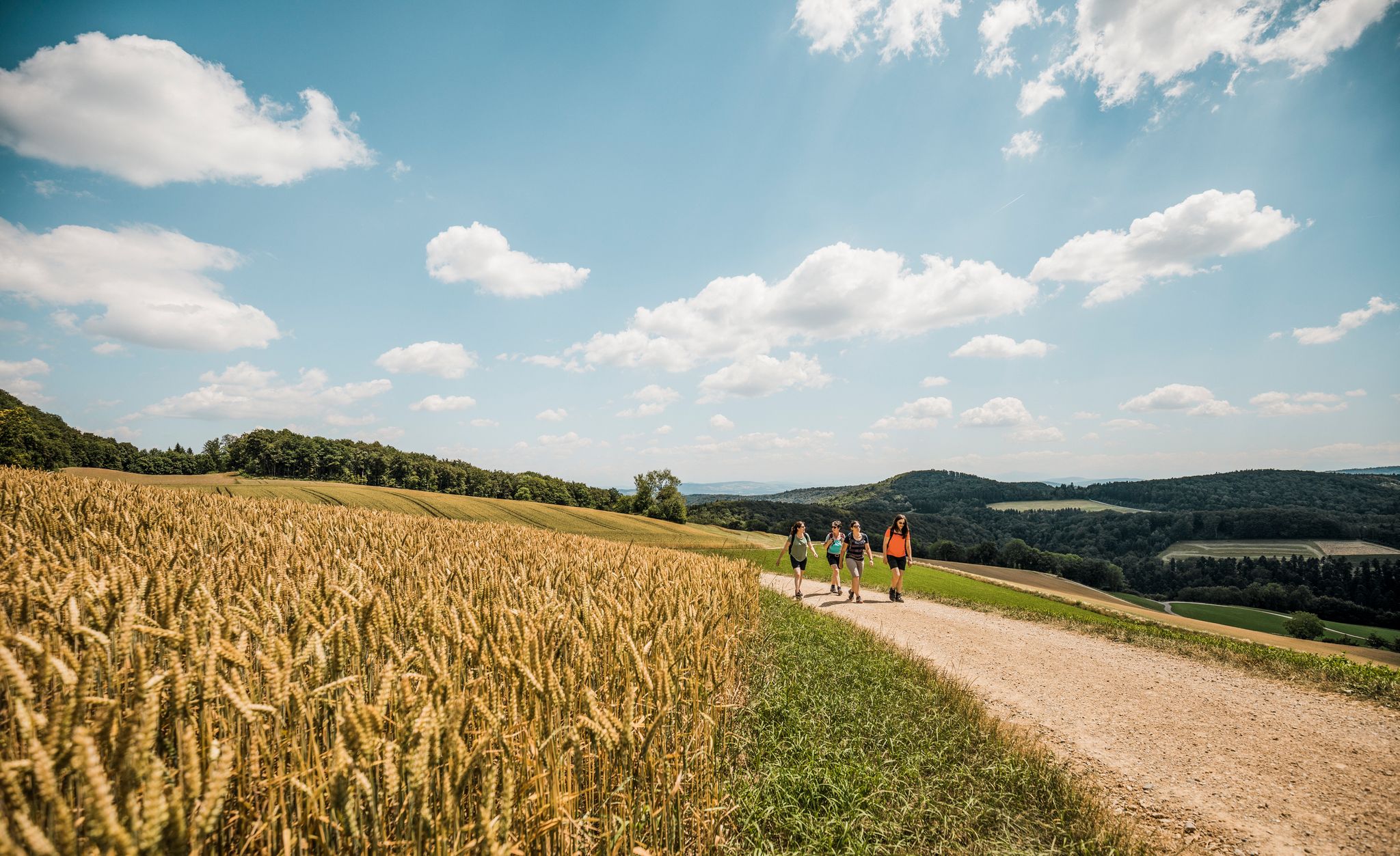
Aargau — Eating your way through the Garden of Eden

Gentle cycling & fine dining – the Black Forest for connoisseurs
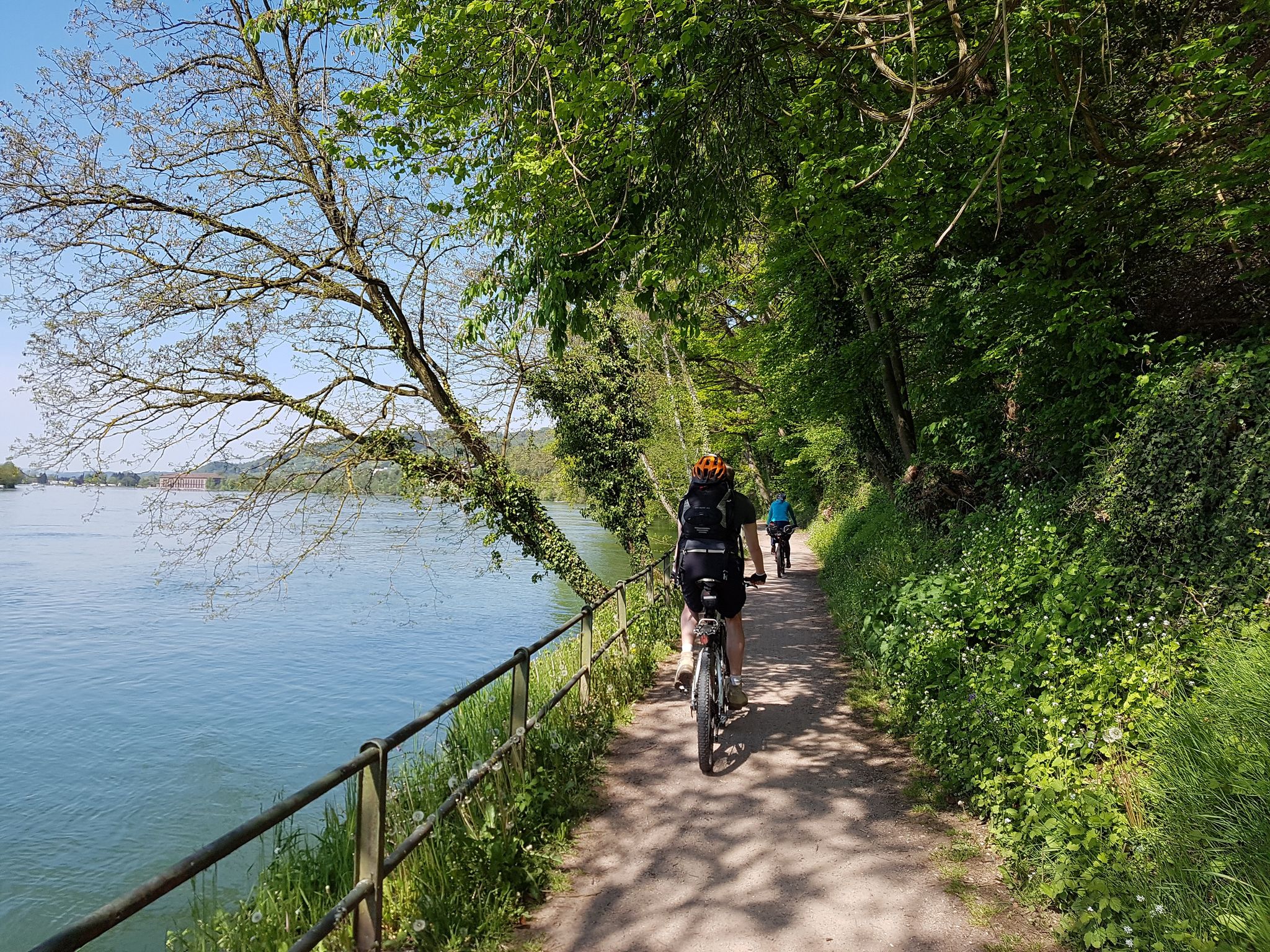
D-Route 6: Danube Route
Other adventures around Bezirk Laufenburg


Tips from the Community

Today the water was unfortunately very murky, so you couldn't see the fish
0
0
Pond with several benches for resting and watching the big carp
2
0


Beautiful view with well-equipped barbecue area
0
0

Beautiful hiking spot along well-marked trails. Enjoy beautiful views of meadows, hills, and on a clear day, up to the mountains.
0
0

Hiking through the rolling meadows near Hundsrugge invites you to immerse yourself in the serene beauty of the Swiss countryside. As you hike along the well-marked trails, you’ll discover vibrant wildflowers dotting the lush green fields, with panoramic views of the surrounding hills and distant mountains.
0
0
Frequently Asked Questions
How many waterfall hiking trails are available in Bezirk Laufenburg?
There are 12 dedicated waterfall hiking trails in Bezirk Laufenburg. These include 5 easy routes perfect for a relaxed stroll and 7 moderate trails for those seeking a bit more challenge.
Are there easy waterfall hikes suitable for beginners or families?
Yes, Bezirk Laufenburg offers several easy waterfall hikes. A great option is the Linner Waterfall – Linner Lime Tree loop from Effingen, which is an easy 4.4 km trail that takes about 1 hour and 13 minutes to complete, featuring both the Linner Waterfall and the historic Linner Lime Tree.
What is the typical length and duration of waterfall trails in Bezirk Laufenburg?
The trails vary in length and duration. Easy routes, like the Linner Waterfall – Linner Lime Tree loop from Effingen, are around 4.4 km and take just over an hour. Moderate trails can range from about 9.6 km, like the Small Pond – Linner Waterfall loop from Zeihen (around 2 hours 47 minutes), to longer options such as the Linner Lime Tree – Linner Waterfall loop from Zeihen at 11.4 km.
Are there any circular waterfall routes in the region?
Many of the waterfall trails in Bezirk Laufenburg are designed as loops, offering a convenient way to explore the scenery without retracing your steps. Examples include the Linner Waterfall – Linner Lime Tree loop from Zeihen and the View of Salhöhe – View of Wasserflue loop from Oberhof.
What can I see along the waterfall hiking trails besides waterfalls?
Beyond the beautiful cascades, many trails lead through dense woodlands and past significant natural and historical landmarks. For instance, routes often feature the historic Linner Lime Tree. You might also encounter serene lakes such as Weiher Frick Nature Reserve or Heubergweiher, which are popular highlights in the broader region.
What do other hikers enjoy most about the waterfall trails in Bezirk Laufenburg?
The area is highly rated by the komoot community, with an average score of 4.6 stars from over 1100 reviews. Hikers often praise the diverse landscape, the well-maintained paths through forested hills, and the prominent waterfalls themselves. The mix of easy and moderate trails also makes it appealing to a wide range of abilities.
Is the Linner Waterfall accessible, and what routes lead to it?
The Linner Waterfall is a prominent feature in the region and is accessible via several routes. An easy option is the Linner Waterfall – Linner Lime Tree loop from Effingen. For a longer, moderate experience, consider the Linner Lime Tree – Linner Waterfall loop from Zeihen or the Linner Waterfall – Linner Lime Tree loop from Zeihen.
Are there any hidden gem waterfall trails in the Laufenburg area?
While many trails are well-known, exploring routes that combine waterfalls with other natural features can offer a sense of discovery. The Small Pond – Linner Waterfall loop from Zeihen, for example, offers a moderate journey through varied terrain, providing a fresh perspective on the region's beauty.
What is the best time of year to hike the waterfall trails in Bezirk Laufenburg?
The waterfall trails in Bezirk Laufenburg are enjoyable throughout much of the year. Spring and autumn offer vibrant colors and pleasant temperatures, while summer provides lush greenery. After periods of rain, the waterfalls are particularly impressive due to increased water flow.
Are the waterfall trails in Bezirk Laufenburg suitable for dogs?
Many trails in the region are dog-friendly, allowing you to enjoy the natural beauty with your canine companion. However, it's always recommended to check specific trail regulations and keep dogs on a leash, especially in nature reserve areas or near livestock.
Are there any trails that offer views of other significant landmarks like Wasserflue?
Yes, some trails combine waterfall experiences with panoramic views of other regional landmarks. The View of Salhöhe – View of Wasserflue loop from Oberhof is a moderate route that offers scenic vistas, including the Wasserflue, alongside the natural beauty of the area.
Most popular routes around Bezirk Laufenburg
Most popular attractions around Bezirk Laufenburg

Get inspired with the komoot mobile app


Explore more
Browse the best Hikes in other regions.
