The best mountain hikes around Lac Bleu
5.0
(13)
86
hikers
8
hikes
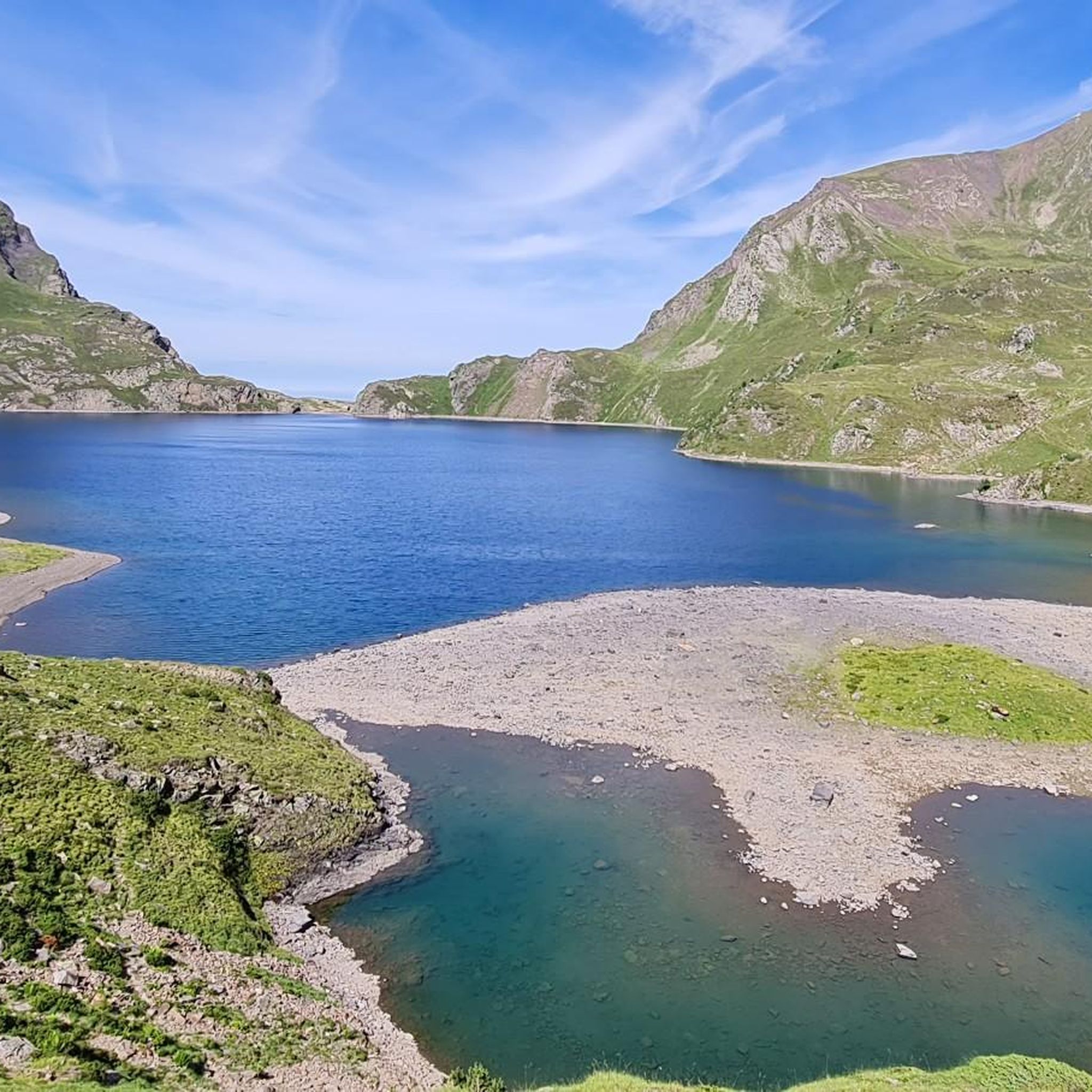
Mountaineering around Lac Bleu features routes in the Pyrenees, characterized by high-altitude lakes, mountain passes, and varied alpine terrain. The region includes significant elevation gains and descents, often traversing rocky paths and open mountain slopes. These routes provide access to remote valleys and offer views of the surrounding peaks.
Best mountaineering routes around Lac Bleu
- The most popular mountaineering route is Lac d'Ourrec loop from Le Chiroulet, a 9.5 miles (15.3 km) trail that takes 6 hours 5 minutes…
Last updated: June 24, 2026
12
hikers
15.1km
06:02
1,140m
1,140m
Hard mountaineering route. Very good fitness required. Easily-accessible paths. Suitable for all skill levels.
14
hikers
16.6km
05:44
850m
850m
Hard mountaineering route. Very good fitness required. Mostly accessible paths. Sure-footedness required.

Sign up for free
5.0
(3)
6
hikers
8.69km
03:51
580m
580m
Moderate mountaineering route. Good fitness required. Mostly accessible paths. Sure-footedness required.
5.0
(1)
7
hikers
9.54km
06:17
1,140m
1,140m
Hard mountaineering route. Very good fitness required. Sure-footedness, sturdy shoes and alpine experience required.
5.0
(8)
36
hikers
Moderate mountaineering route. Good fitness required. Easily-accessible paths. Suitable for all skill levels.
Get access to more routes and recommendations from other explorers.
Sign up for free
Already have an account?
Our route recommendations are based on thousands of hikes, rides, and runs completed by other people on komoot.
Start today with a free account
Your next adventure awaits.
Login or Signup
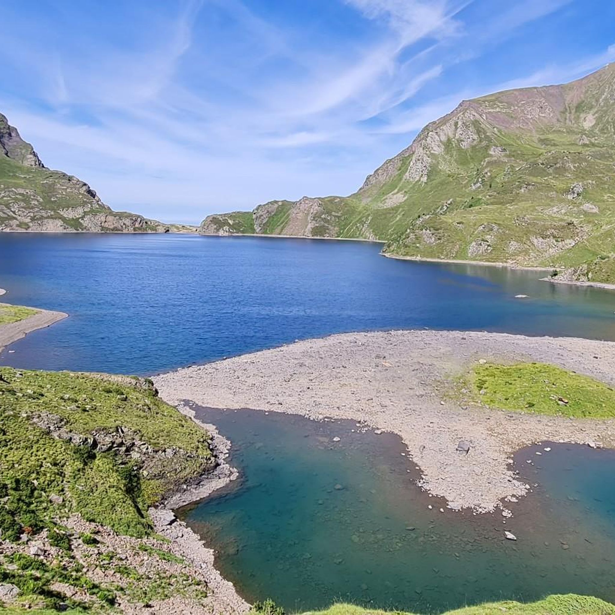
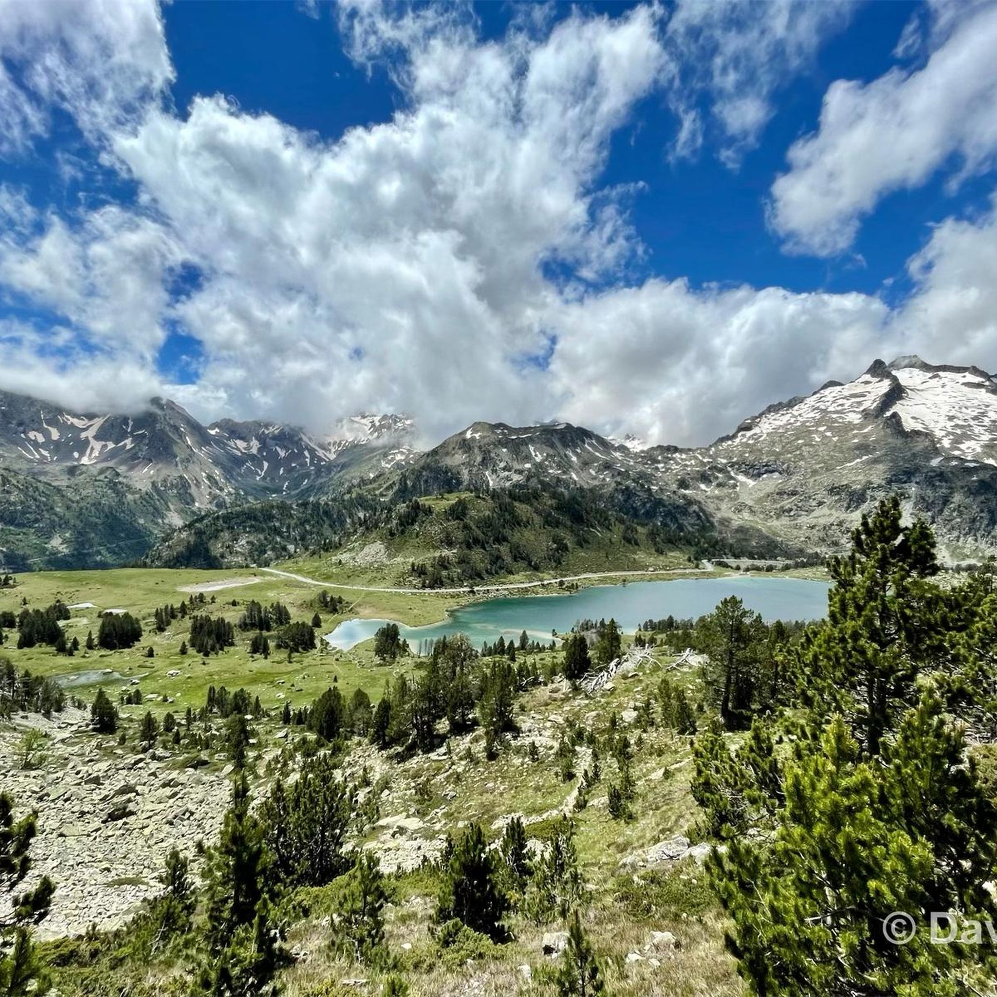
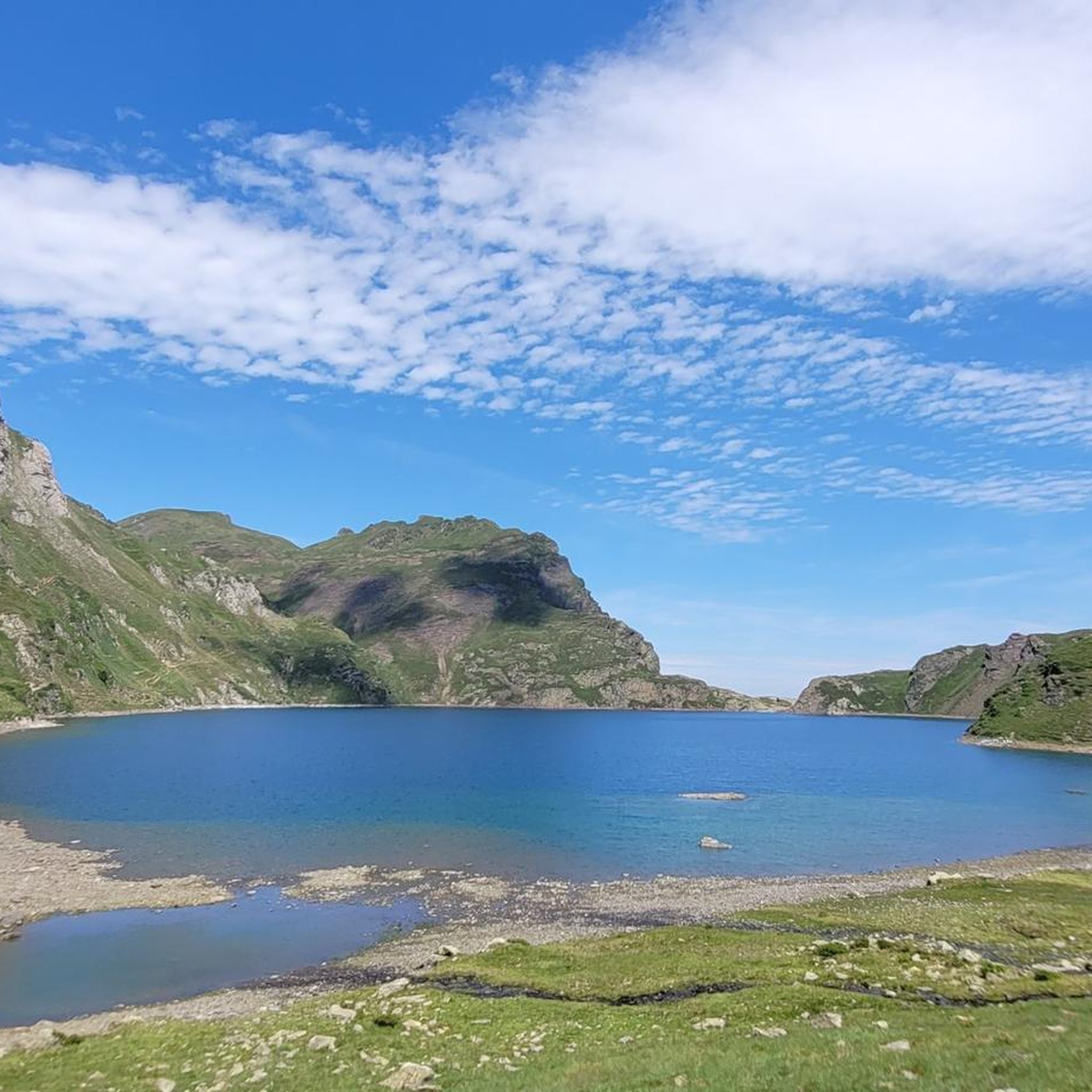

Tips from the Community

Large, welcoming refuge. An invigorating, cool shower during our stay. Very good meal and a great atmosphere in the evening. The caretaker was attentive. Maps, guidebooks, books, and board games are available in the common room.
1
0

An amazing view, with the added bonus of some spectacular fine dining (book in advance for dining!)
0
0

Large car park at the foot of the Tourmalet, there is a bike park here and there are opportunities to walk to the Néouveille lakes.
0
0

Ascent to the summit on foot; no cable car access until 2027. No access to the restaurant or restrooms, but drinking water is available.
0
1

Do it in the evening for the sunset, it's magnificent or conversely to admire the sunrise. The night of stars is magnificent! 🤩
0
1


Superb view of the lake dominated in the distance by the Glère refuge.
1
0
The Glère refuge is located at the entrance to the Néouvielle reserve. Perched on its rocky outcrop, it is immersed in a spectacular setting. It welcomes you in a warm and comfortable atmosphere. More information here: https://refugedelaglere.ffcam.fr/.
1
2
Frequently Asked Questions
How many mountaineering routes are available around Lac Bleu?
There are over 9 dedicated mountaineering routes around Lac Bleu, offering a range of challenges across the Pyrenean landscape. These routes are highly rated by the komoot community, with an average score of 4.9 stars.
Are there any beginner-friendly mountaineering routes in the Lac Bleu area?
While many routes in Lac Bleu are rated difficult due to significant elevation gains and alpine terrain, there are some moderate options. For those looking for a less strenuous introduction, consider routes like the Lac Dets Coubous – Cabanes de La Gaubie loop from Tournaboup, which is rated moderate and covers about 6.5 miles (10.4 km).
What are some advanced mountaineering challenges around Lac Bleu?
For experienced mountaineers seeking a challenge, the region offers several difficult routes. The Lac d'Ourrec loop from Le Chiroulet is a demanding 9.5 miles (15.3 km) trail with over 1100 meters of elevation gain, traversing classic alpine landscapes.
Are there any circular mountaineering routes near Lac Bleu?
Yes, many of the mountaineering routes around Lac Bleu are designed as loops, allowing you to start and finish at the same point. A popular circular option is the Lac Dets Coubous – Col de Madamète loop from Tournaboup, an 11.1 miles (17.8 km) difficult path that navigates through high mountain passes.
What is the best time of year for mountaineering in Lac Bleu?
The best time for mountaineering around Lac Bleu is typically from late spring to early autumn (June to September) when snow has largely melted from higher elevations and weather conditions are more stable. Always check local weather forecasts and trail conditions before heading out, as alpine weather can change rapidly.
What equipment should I bring for mountaineering around Lac Bleu?
Given the high-altitude and varied alpine terrain, essential equipment includes sturdy mountaineering boots, appropriate layered clothing for changing weather, waterproofs, navigation tools (map, compass, or GPS), sufficient water and food, sun protection, and a first-aid kit. Depending on the season and specific route, ice axe and crampons might be necessary.
Are there multi-day mountaineering trip options in the Lac Bleu region?
While the listed routes are primarily day trips, the Pyrenees region around Lac Bleu is well-suited for linking multiple routes or utilizing mountain huts (refuges) for multi-day adventures. Planning a multi-day trip would involve combining existing trails and careful logistical preparation for overnight stays.
Where can I find parking for mountaineering trailheads near Lac Bleu?
Many trailheads in the Lac Bleu area, such as those near Le Chiroulet, Tournaboup, and Barèges, offer designated parking areas. It's advisable to arrive early, especially during peak season, as parking can fill up quickly for popular routes like the Lac det Mail – Lac de la Glère loop from Barèges.
What do other mountaineers enjoy most about the routes in Lac Bleu?
The komoot community highly rates the mountaineering routes around Lac Bleu, with an average score of 4.9 stars. Reviewers often praise the stunning high-altitude lakes, the challenging yet rewarding ascents, and the expansive views of the surrounding Pyrenean peaks.
Are there any less crowded or 'hidden gem' mountaineering routes around Lac Bleu?
To find less crowded experiences, consider exploring routes slightly off the most popular paths or visiting during shoulder seasons. While specific 'hidden gems' are subjective, routes like the Gaubie Valley – Lac Dets Coubous loop from Tournaboup offer a challenging and immersive experience through alpine valleys that might see fewer visitors than the most well-known trails.
Are there cafes or pubs near the trailheads after a mountaineering trip?
Yes, villages and small towns near the main access points for Lac Bleu, such as Barèges or those in the vicinity of Tournaboup and Le Chiroulet, typically offer amenities like cafes, restaurants, and sometimes small pubs where you can relax and refuel after your mountaineering adventure.
Most popular routes around Lac Bleu

Get inspired with the komoot mobile app


Explore more
Browse the best Mountain Hikes & Routes in other regions.
