The best MTB trails around Parvillers-Le-Quesnoy
3.6
(8)
74
riders
16
rides
Mountain bike trails around Parvillers-Le-Quesnoy are set within the Somme department, offering varied terrain suitable for cycling. The region features an agricultural landscape interspersed with rolling hills and wooded areas, providing natural variations in elevation. While the immediate area has modest elevations, the surrounding Hauts-de-France region includes significant forested areas that contribute to the network of trails.
Best mountain bike trails around Parvillers-Le-Quesnoy
- The most popular mountain bike trail is Sainte-Croix Church of Caix – Bois Domart/luce loop from Rosières…
Last updated: July 8, 2026
4.5
(4)
15
riders
Moderate mountain bike ride. Good fitness required. Advanced riding skills necessary.
4.0
(2)
10
riders
72.5km
05:08
470m
470m
Hard mountain bike ride. Very good fitness required. Advanced riding skills necessary.

Sign up for free
7
riders
Moderate mountain bike ride. Good fitness required. Suitable for all skill levels.
5
riders
35.0km
02:34
220m
220m
Moderate mountain bike ride. Good fitness required. Advanced riding skills necessary.
4
riders
Moderate mountain bike ride. Good fitness required. Suitable for all skill levels.
Get access to more routes and recommendations from other explorers.
Sign up for free
Already have an account?
Our route recommendations are based on thousands of hikes, rides, and runs completed by other people on komoot.
Start today with a free account
Your next adventure awaits.
Login or Signup

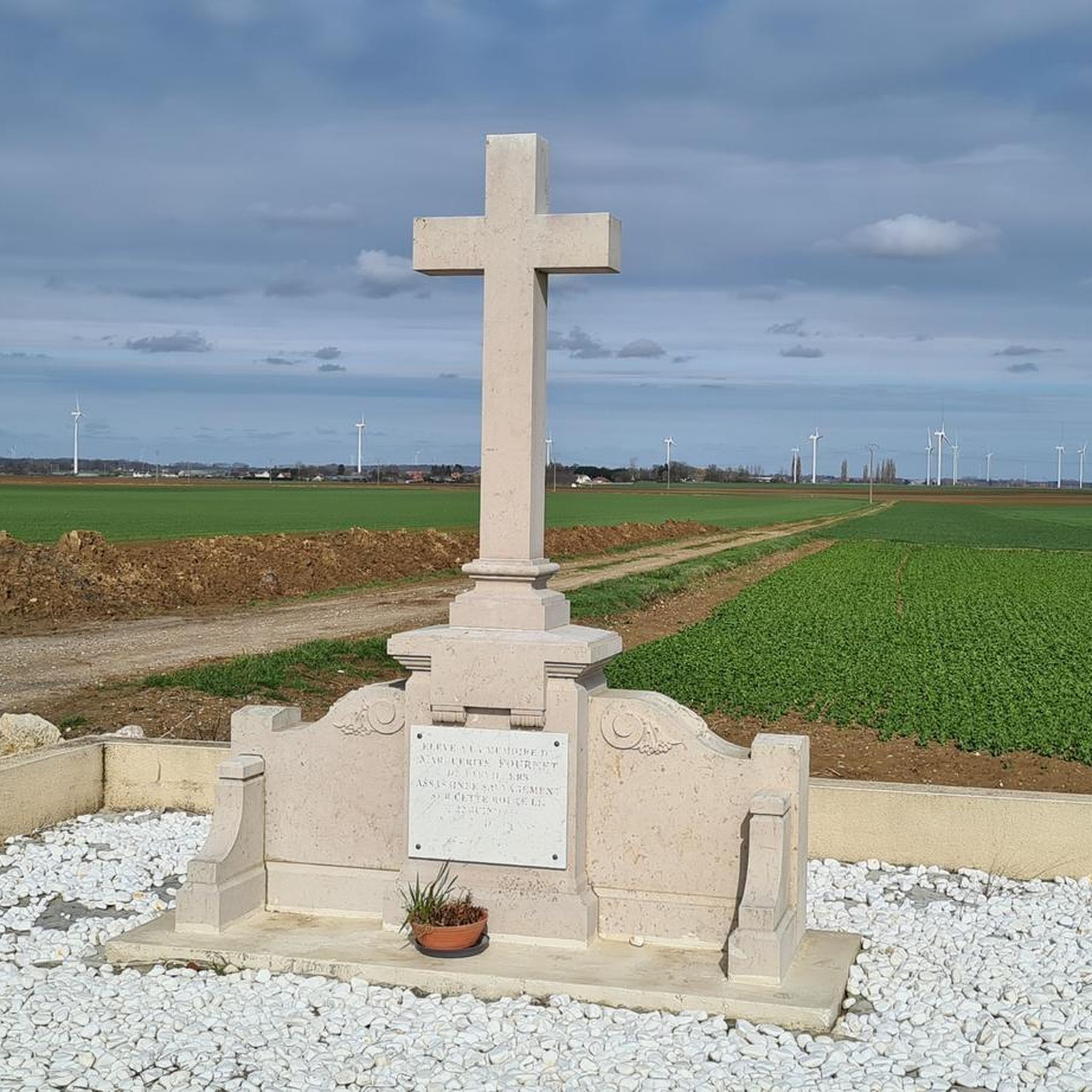
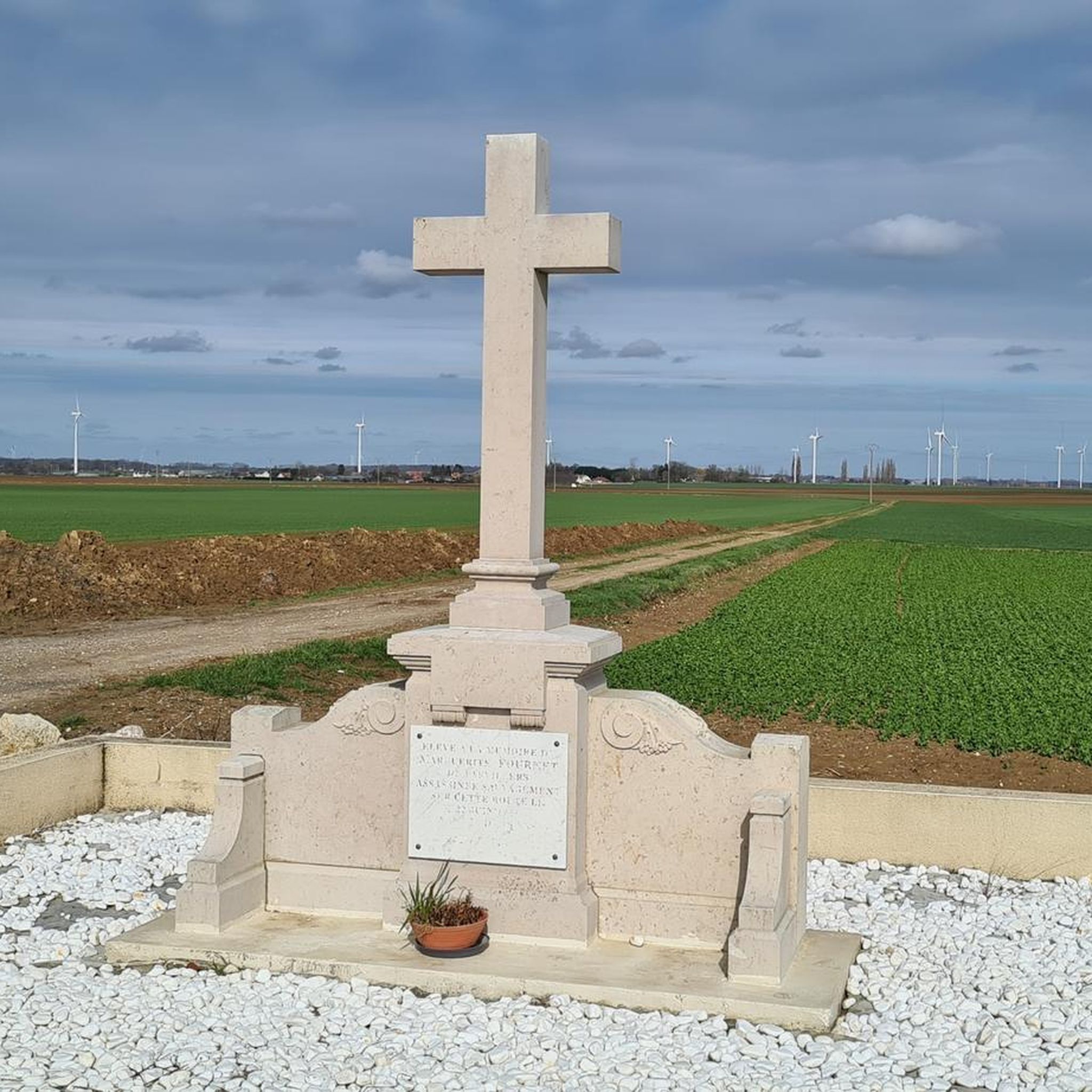

Tips from the Community

Nice view of the ponds and the villa "Les étangs".
0
0

The name Trois-Rivières refers to the three rivers that flow through the new commune: the Avre, the Cologne, and the Trois Doms. A beautiful panorama 👍.
0
0

Several paths to explore in Gravel
0
0

The Etangs de la Barette are a natural site of approximately 40 hectares located in the communes of Corbie and Vaux-sur-Somme. The site is made up of large artificial ponds which were dug by the monks of Corbie Abbey to serve as a fishpond, then used for peat extraction in the 19th century. You can enjoy the view of the water and wetlands, and observe the diverse flora and fauna that populate the site. You will also be able to see the Blue Fountains, water springs that appear blue due to the reflection of sunlight on the chalky bottom. The Etangs de la Barette are an ideal destination for nature lovers who wish to discover a rich and preserved environment.
5
0

On the towpath, we have on one side the ponds of the Barette and on the other the Somme.
0
0

This old towpath offers beautiful views and a relaxing calm. There are no more draft horses there as in the past, but only a few cyclists and barges.
5
0

A towpath or towpath, Bomätscherpfad,treppenweg or Reckweg is a path directly on the bank of a river or canal that was created so that people, draft animals or locomotives could pull cargo ships upstream.
5
1

It's not bad for what there is to see without being extraordinary but it is not mountain biking, (VTC) including a lot of cycle path.
0
0
Frequently Asked Questions
How many mountain bike trails are available around Parvillers-Le-Quesnoy?
There are 16 mountain bike trails available around Parvillers-Le-Quesnoy. These routes offer a variety of experiences, from easy rides to more challenging excursions.
What kind of terrain can I expect on mountain bike trails near Parvillers-Le-Quesnoy?
The terrain around Parvillers-Le-Quesnoy is characterized by rolling hills, agricultural landscapes, and interspersed wooded areas. While the immediate village has modest elevations, the broader Somme department offers natural variations in elevation suitable for mountain biking. You'll find a mix of open fields and shaded forest sections.
Are there mountain bike trails suitable for beginners or families in Parvillers-Le-Quesnoy?
Yes, there are mountain bike trails suitable for various skill levels. Out of the 16 available routes, 3 are rated as easy, making them a good option for beginners or families looking for a less strenuous ride. The region's gentle undulations are generally accommodating.
Are there any challenging mountain bike routes for experienced riders?
Yes, for experienced riders seeking a challenge, there are 2 difficult mountain bike routes available. One such route is the Join montagne de fignère – Montagne de Fignières loop from Rosières, which spans 72.5 km and involves significant elevation gain, typically taking over 5 hours to complete.
What do other mountain bikers say about the trails in Parvillers-Le-Quesnoy?
The mountain bike trails around Parvillers-Le-Quesnoy are highly rated by the komoot community, with an average score of 4.1 stars from 7 reviews. Riders often appreciate the varied rural landscapes and the mix of open fields and wooded sections.
Are there any circular mountain bike routes available?
Yes, many of the routes are designed as loops. For example, the popular Sainte-Croix Church of Caix – Bois Domart/luce loop from Rosières is a 53 km circular trail featuring moderate climbs through varied rural landscapes. Another option is the Join montagne de fignère – Montagne de Fignières loop from Hangest-en-Santerre, a 44.1 km moderate path.
What is the best time of year for mountain biking in Parvillers-Le-Quesnoy?
The Hauts-de-France region, where Parvillers-Le-Quesnoy is located, generally experiences mild weather. Spring and autumn often provide the most pleasant conditions for mountain biking, with moderate temperatures and less extreme weather. Summer can also be enjoyable, especially in wooded areas, but always check local weather forecasts before heading out.
Are there any notable natural features or viewpoints along the mountain bike trails?
While Parvillers-Le-Quesnoy itself is in a modest elevation area, the surrounding Somme department offers trails that leverage rolling hills and wooded sections. These provide scenic views of the agricultural landscape and natural variations. The region is also known for its rivers and canals, which can offer pleasant, flat sections on some routes.
Can I bring my dog on the mountain bike trails?
Generally, dogs are permitted on public trails in France, but it's always recommended to keep them on a leash, especially in agricultural areas or near livestock, and to check for any specific local regulations or protected areas that might have restrictions. Always ensure your dog is well-behaved and doesn't disturb wildlife or other trail users.
Are there places to explore near the mountain bike trails, such as historic sites?
Yes, the broader region offers historical attractions. For instance, the town of Le Quesnoy (distinct from Parvillers-Le-Quesnoy but nearby) is known for its well-preserved 16th-18th century fortifications, offering pleasant walking paths along its ramparts. You can learn more about the region's fortified sites at Hauts-de-France Tourism.
Is public transport available to access the mountain bike trails around Parvillers-Le-Quesnoy?
Parvillers-Le-Quesnoy is a small commune, so direct public transport options to specific trailheads might be limited. It's advisable to check regional bus services or consider driving to a starting point. Many routes begin from villages like Rosières or Hangest-en-Santerre, which may have better transport links or parking facilities.
Where can I find parking for mountain biking in Parvillers-Le-Quesnoy?
While specific designated mountain bike parking isn't detailed, starting points for many routes are often in or near villages like Rosières or Hangest-en-Santerre. These villages typically offer public parking areas. It's best to plan your route and check for available parking near your chosen trailhead in advance.
Most popular routes around Parvillers-Le-Quesnoy

Get inspired with the komoot mobile app


Explore more
Browse the best MTB trails in other regions.
