The best walks and hikes around Dampierre-Le-Château
4.6
(25)
74
hikers
12
hikes
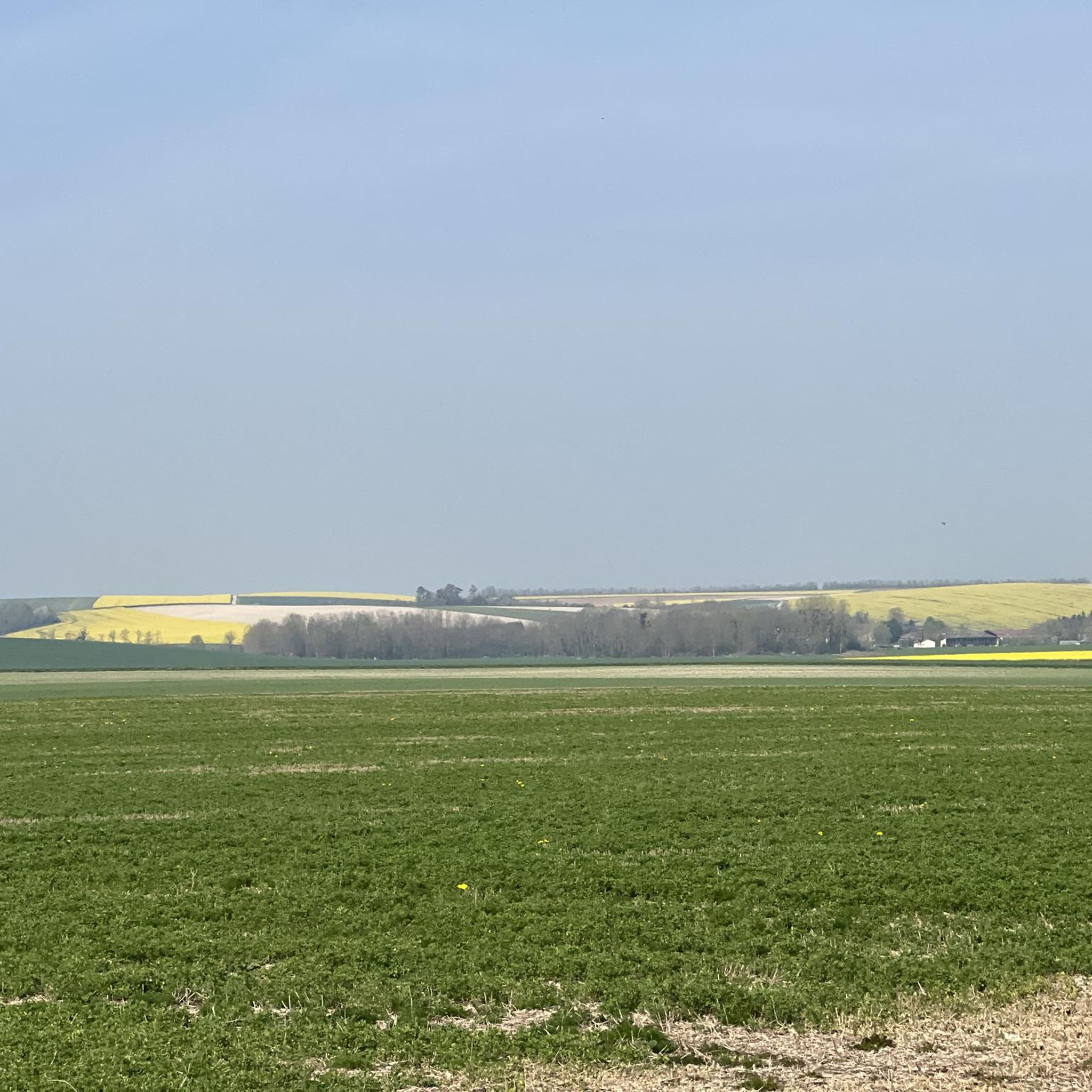
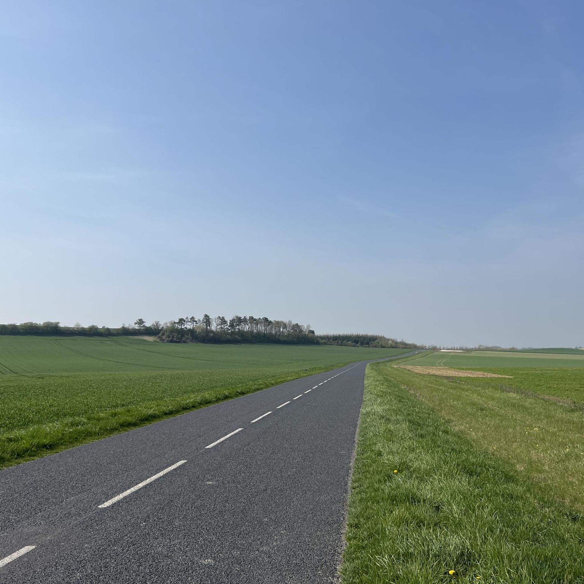
Hiking around Dampierre-Le-Château offers routes through a landscape characterized by gentle elevations, rural settings, and water features such as ponds and rivers. The terrain generally presents low elevation gains, making many paths accessible for various fitness levels. This region provides opportunities to explore local villages and natural areas.
Best hiking trails around Dampierre-Le-Château
- The most popular hiking route is Étang de Givry loop from Givry-en-Argonne, a 1.4 miles (2.3 km) trail that takes about 35 minutes to complete. This…
Last updated: October 11, 2026
5.0
(2)
10
hikers
2.27km
00:35
10m
10m
Easy hike. Great for any fitness level. Easily-accessible paths. Suitable for all skill levels.
5.0
(2)
7
hikers
14.8km
03:48
70m
70m
Moderate hike. Good fitness required. Easily-accessible paths. Suitable for all skill levels.

2
hikers
5.00km
01:18
30m
30m
Easy hike. Great for any fitness level. Easily-accessible paths. Suitable for all skill levels.
4.0
(2)
4
hikers
Moderate hike. Good fitness required. Easily-accessible paths. Suitable for all skill levels.
4.5
(2)
5
hikers
8.26km
02:08
40m
40m
Moderate hike. Good fitness required. Easily-accessible paths. Suitable for all skill levels.
Get access to more routes and recommendations from other explorers.
Already have an account?
Our route recommendations are based on thousands of hikes, rides, and runs completed by other people on komoot.
Start today with a free account
Your next adventure awaits.


Frequently Asked Questions
How many hiking trails are available around Dampierre-Le-Château?
There are over 10 hiking routes documented on komoot for the Dampierre-Le-Château area, offering a variety of experiences through its rural landscapes and along water features.
Are there easy hiking trails suitable for beginners or families?
Yes, the region is known for its gentle terrain. Many paths have low elevation gains, making them suitable for various fitness levels. An example is the Stone Bridge of Vervières loop from Verrières, which is an easy 3.1-mile (5.0 km) trail.
What is the typical duration of hikes in this area?
Hikes around Dampierre-Le-Château vary in length. You can find short strolls, like the Étang de Givry loop from Givry-en-Argonne which takes about 35 minutes, or longer excursions such as the Town Hall at Villers-en-Argonne – Church at Villers-en-Argonne loop, which can take over 4 hours.
Can I bring my dog on the hiking trails around Dampierre-Le-Château?
Most rural trails in the Dampierre-Le-Château area are generally dog-friendly. However, it's always recommended to keep your dog on a leash, especially when passing through villages or near livestock, and to clean up after them.
Are there any circular hiking routes in Dampierre-Le-Château?
Yes, many of the trails in the region are circular, allowing you to start and end at the same point. For example, the View of the River loop from La Neuville-aux-Bois offers a moderate 9.3-mile (15.0 km) circular path with varied rural scenery.
What kind of scenery can I expect on the hikes?
The hiking trails around Dampierre-Le-Château feature a landscape of gentle elevations, tranquil rural settings, and picturesque water features like ponds and rivers. You'll often pass through local villages and natural areas.
What are some interesting places to see near the hiking trails?
While hiking, you can explore nearby attractions such as the historic Valmy Mill or the charming town of Sainte-Menehould, which has a notable city center and historic cinema.
Is parking available at the trailheads?
Given the rural nature of the area, parking is generally available near the starting points of trails, often in or near the villages where routes begin. It's advisable to check specific route details for precise parking information.
What do other hikers enjoy most about hiking in Dampierre-Le-Château?
The area is highly rated by the komoot community, with an average score of 4.6 stars. Reviewers often praise the tranquil atmosphere, the gentle nature of the paths, and the pleasant scenery along the rivers and ponds.
Are there any longer, more challenging hikes in the area?
While many routes are easy, there are moderate options for those seeking a longer walk. The Étang de Givry – Étang de Perceval loop from Givry-en-Argonne is a moderate 5.9-mile (9.5 km) trail that offers a more extended experience through the local landscape.
What is the best time of year to go hiking in Dampierre-Le-Château?
The region is enjoyable for hiking throughout the warmer months, from spring to autumn, when the weather is mild and the natural scenery is vibrant. Spring brings blooming flora, while autumn offers beautiful fall colors.
Most popular routes around Dampierre-Le-Château
Most popular attractions around Dampierre-Le-Château

Get inspired with the komoot mobile app


Explore more
Browse the best Hikes in other regions.
