The best walks and hikes around Lubret-Saint-Luc
4.6
(27)
200
hikers
16
hikes
Hiking around Lubret-Saint-Luc offers routes through a landscape characterized by rolling hills, agricultural fields, and small villages. The region features moderate elevation changes, providing varied terrain for outdoor activities. Paths often follow quiet country roads and tracks, connecting points of interest within the rural environment.
Best hiking trails around Lubret-Saint-Luc
- The most popular hiking route is Hiking loop from Puydarrieux, a 6.6 miles (10.6 km) trail that takes 2 hours 51 minutes to complete. This route navigates through rural…
Last updated: June 24, 2026
4.2
(12)
79
hikers
10.6km
02:51
130m
130m
Moderate hike. Good fitness required. Easily-accessible paths. Suitable for all skill levels.
10
hikers
10.4km
03:00
250m
250m
Moderate hike. Good fitness required. Easily-accessible paths. Suitable for all skill levels.

Sign up for free
6
hikers
11.4km
03:08
190m
190m
Moderate hike. Good fitness required. Easily-accessible paths. Suitable for all skill levels.
8
hikers
9.91km
02:41
130m
130m
Moderate hike. Good fitness required. Easily-accessible paths. Suitable for all skill levels.
5.0
(1)
2
hikers
7.51km
01:55
30m
30m
Easy hike. Great for any fitness level. Easily-accessible paths. Suitable for all skill levels.
Get access to more routes and recommendations from other explorers.
Sign up for free
Already have an account?
Our route recommendations are based on thousands of hikes, rides, and runs completed by other people on komoot.
Start today with a free account
Your next adventure awaits.
Login or Signup
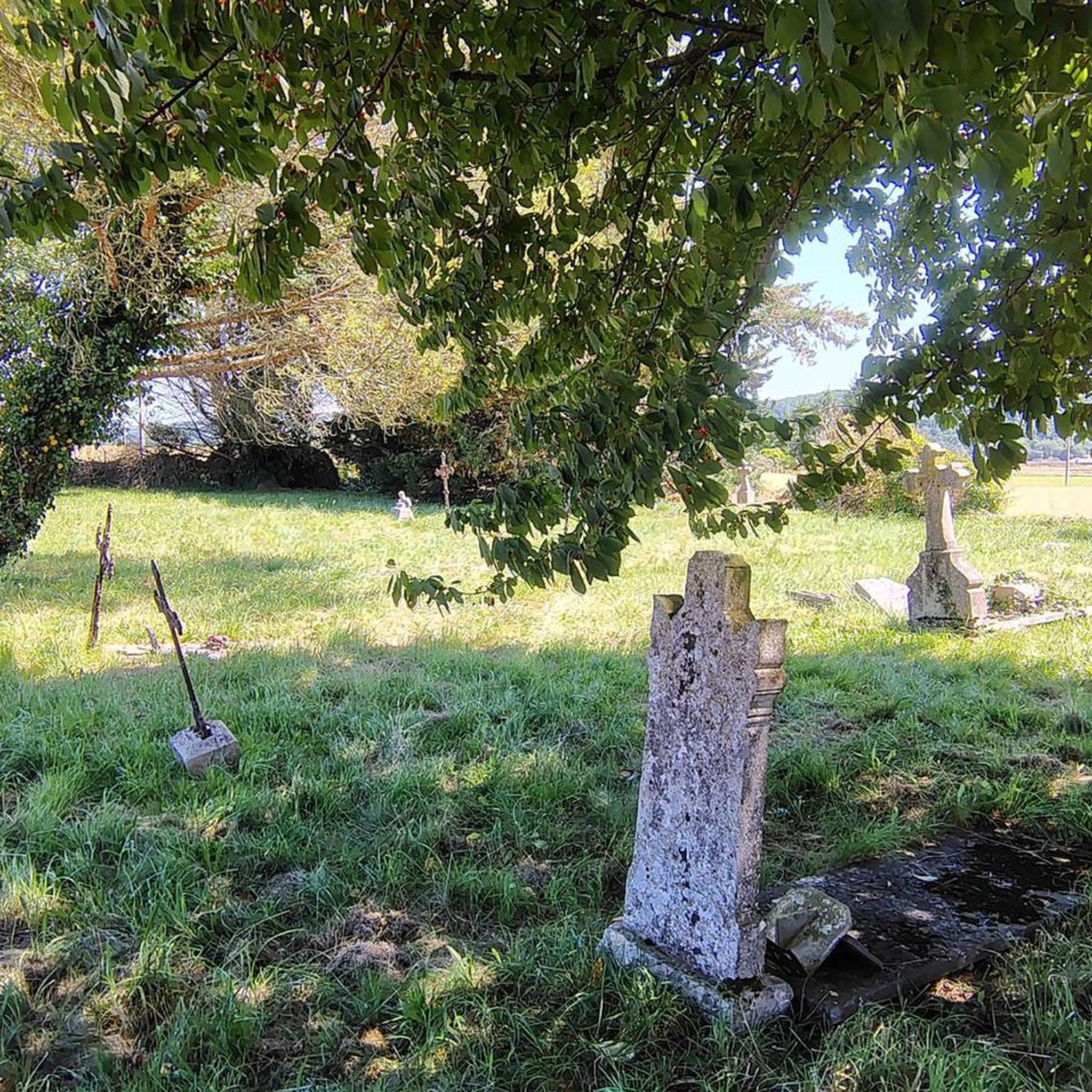
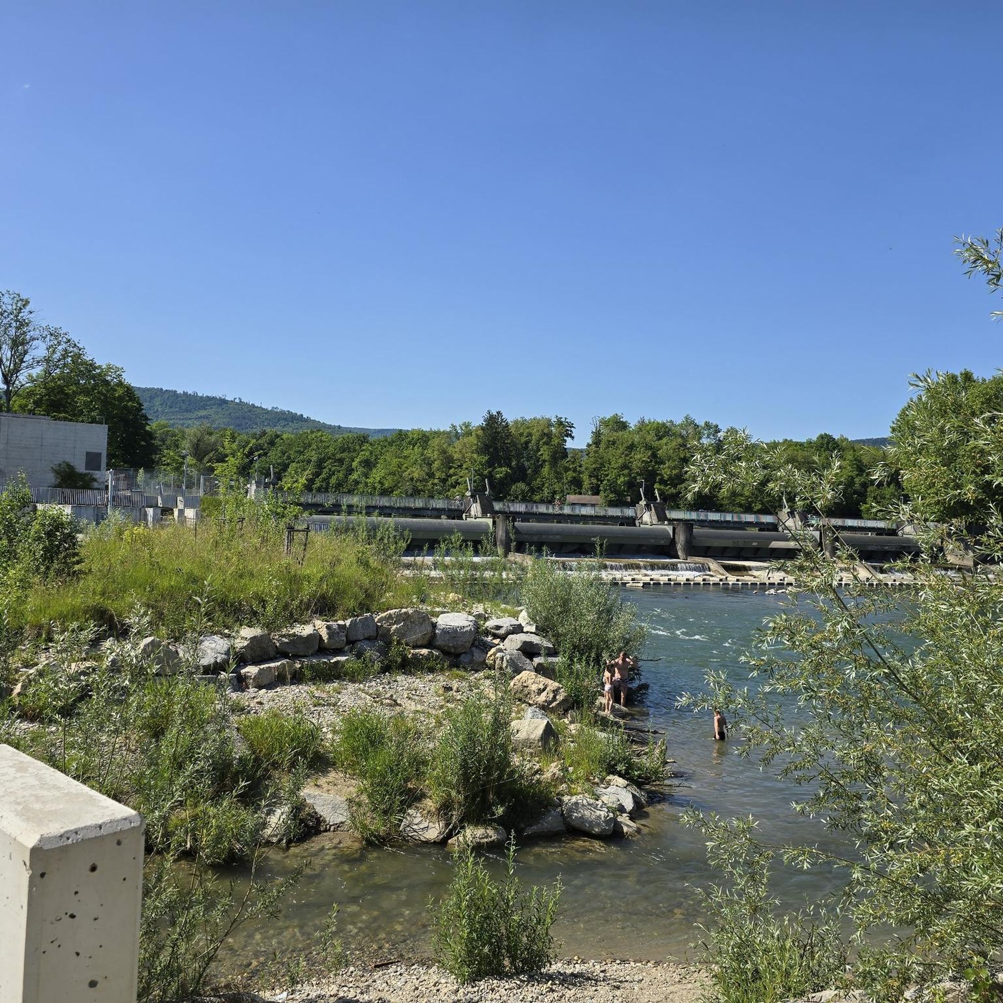

Tips from the Community

This reservoir offers a triple advantage: being able to cool off while contemplating the mountains and numerous birds. Recent droughts have repeatedly affected the water volume of this lake. Find out before you go.
1
0

Protected as historical monuments, the Abbey, founded around the year 800, is nicknamed the "little Versailles of Bigorre". Visits possible between June and September.
1
1
Frequently Asked Questions
How many hiking trails are available around Lubret-Saint-Luc?
There are 14 hiking trails available around Lubret-Saint-Luc, offering a variety of experiences through the region's rolling hills and agricultural landscapes.
Are there any easy hiking trails suitable for beginners in Lubret-Saint-Luc?
Yes, Lubret-Saint-Luc offers 4 easy hiking trails. An excellent option is the Hiking loop from Trie-sur-Baïse, which is 4.7 miles (7.5 km) long and takes approximately 2 hours to complete, featuring minimal elevation changes.
What kind of terrain can I expect on hikes in Lubret-Saint-Luc?
The hiking trails in Lubret-Saint-Luc primarily traverse rolling hills, agricultural fields, and quiet country roads. You'll experience moderate elevation changes, providing varied terrain without extreme climbs, characteristic of the rural environment.
Are there any circular walks or loop trails in the area?
Yes, many of the trails around Lubret-Saint-Luc are circular. For example, the Hiking loop from Puydarrieux is a popular 6.6-mile (10.6 km) route that guides you through rural landscapes and past local farmlands.
What are some interesting landmarks or attractions I can see while hiking near Lubret-Saint-Luc?
While hiking, you can explore several points of interest. The Château du Castet loop from Lubret-Saint-Luc offers views of the historic Château du Castet. Other notable attractions in the wider area include the Saint-Sever-de-Rustan Abbey and Lake Puydarrieux.
Are there any trails that pass by lakes or reservoirs?
Yes, some routes offer views of local water bodies. The Réservoir du Lizon loop from Bugard is a moderate 7.1-mile (11.4 km) trail that takes you past the Réservoir du Lizon, offering pleasant waterside scenery.
What do other hikers enjoy most about the trails in Lubret-Saint-Luc?
The trails in Lubret-Saint-Luc are highly rated by the komoot community, with an average score of 4.6 stars from over 20 reviews. Hikers often praise the peaceful rural environment, the well-maintained paths, and the charming views of the agricultural landscape and small villages.
Are there any family-friendly hiking options in Lubret-Saint-Luc?
Given the prevalence of easy and moderate trails with rolling hills rather than steep climbs, many routes are suitable for families. The shorter, easier loops are particularly good for outings with children, allowing them to enjoy the rural scenery.
What is the best time of year to go hiking in Lubret-Saint-Luc?
The best time to hike in Lubret-Saint-Luc is typically during spring and autumn when the weather is mild and the natural scenery is vibrant. Summer also offers pleasant conditions, though it can be warmer, while winter can be suitable for crisp walks, depending on local conditions.
Are there any moderate difficulty trails for those looking for a bit more challenge?
Yes, the majority of trails (10 out of 14) are rated as moderate. The Hiking loop from Saint-Sever-de-Rustan is a good example, covering 6.2 miles (9.9 km) through agricultural areas and quiet paths, typically completed in about 2 hours 41 minutes.
Is parking generally available near the trailheads in Lubret-Saint-Luc?
As the trails often start from or pass through small villages and rural areas, parking is typically available in village centers or designated spots near trailheads. It's advisable to check specific route details on komoot for precise parking information.
Most popular attractions around Lubret-Saint-Luc

Get inspired with the komoot mobile app


Explore more
Browse the best Hikes in other regions.
