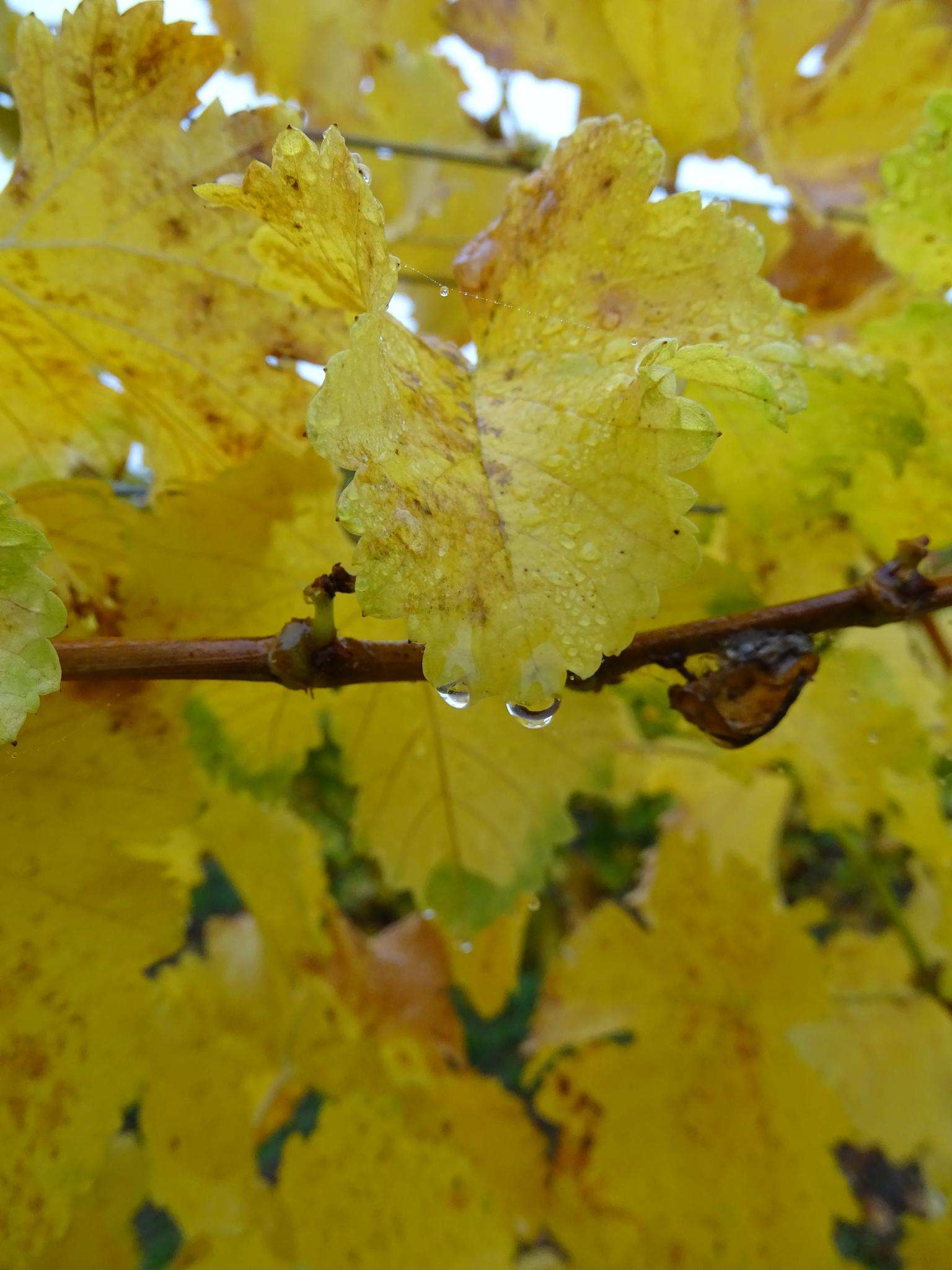
The best running trails around Villechétive
31
runners
17
runs
Jogging around Villechétive offers a diverse landscape within the Pays d'Othe region, characterized by a network of trails suitable for running. The area features a mix of open plains and the serene, varied terrain of the Forêt d'Othe. This combination provides varied surfaces and natural scenery for different running experiences, with routes often traversing both wooded areas and open countryside.
Best jogging routes around Villechétive
- The most popular jogging route is Running loop from Les Vallées de la Vanne,…
Last updated: June 24, 2026
2
runners
11.2km
01:14
130m
130m
Moderate run. Good fitness required. Mostly paved surfaces. Suitable for all skill levels.
4
runners
15.0km
01:38
230m
230m
Moderate run. Good fitness required. Mostly paved surfaces. Suitable for all skill levels.

Sign up for free
3
runners
7.67km
00:49
100m
100m
Moderate run. Good fitness required. Mostly paved surfaces. Suitable for all skill levels.
3
runners
13.7km
01:28
130m
130m
Moderate run. Good fitness required. Mostly paved surfaces. Suitable for all skill levels.
3
runners
8.69km
00:58
150m
150m
Moderate run. Good fitness required. Mostly paved surfaces. Suitable for all skill levels.
Get access to more routes and recommendations from other explorers.
Sign up for free
Already have an account?
Our route recommendations are based on thousands of hikes, rides, and runs completed by other people on komoot.
Start today with a free account
Your next adventure awaits.
Login or Signup

Frequently Asked Questions
How many running routes are available around Villechétive?
There are over 15 dedicated running routes around Villechétive, offering a variety of experiences for different fitness levels. These routes are curated to showcase the diverse landscapes of the Pays d'Othe region.
What kind of terrain can I expect on the running trails near Villechétive?
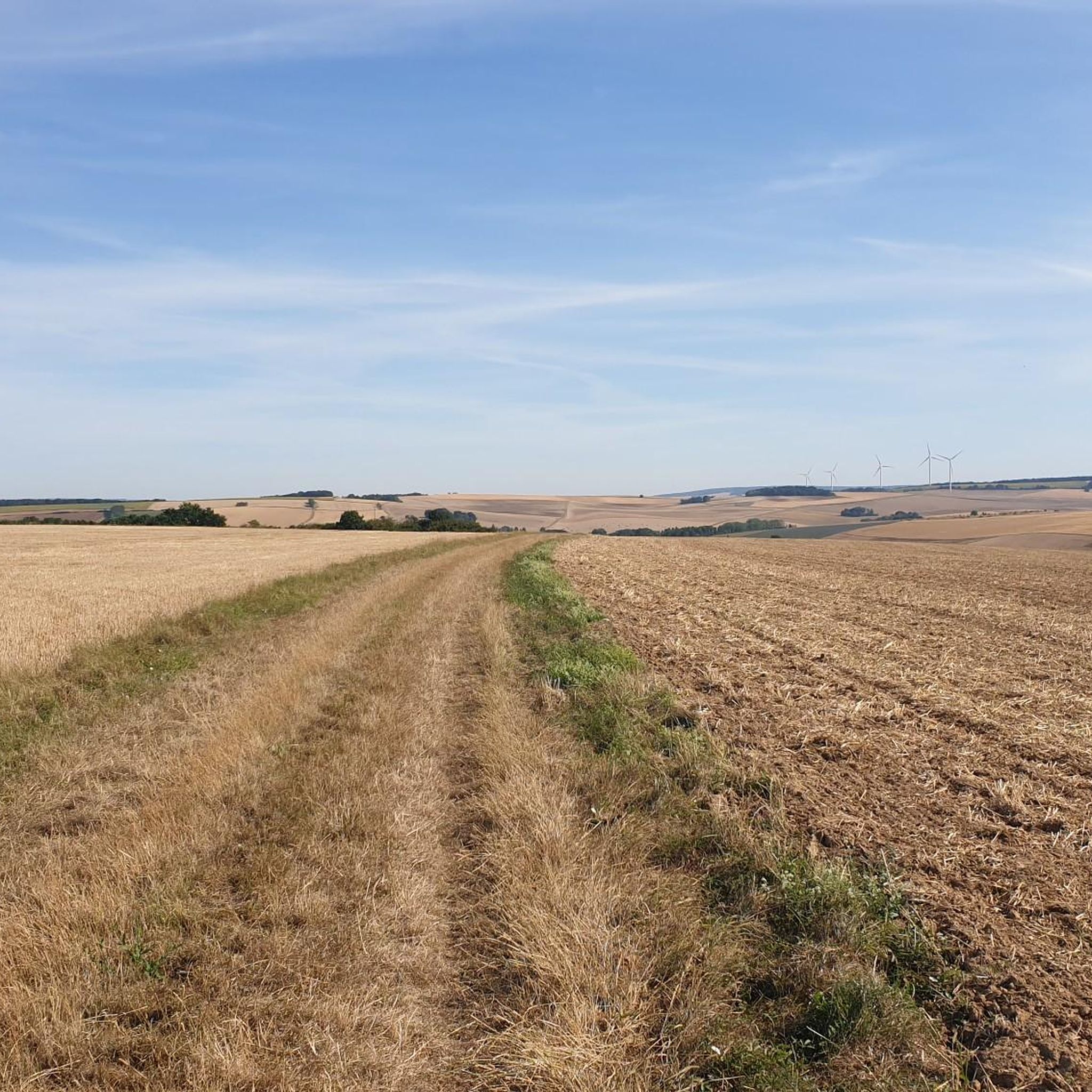
The running trails around Villechétive offer a diverse mix of terrain. You'll find routes traversing open plains, as well as shaded paths through the serene Forêt d'Othe. This combination provides varied surfaces, from softer forest floors to more open country paths, ideal for a varied running experience.
Are there routes suitable for beginners or those looking for an easier run?
While the guide primarily features moderate and difficult routes, many of the trails, especially those designed for Nordic walking near Villechétive, can be adapted for easier jogs. These well-defined paths offer circuits suitable for various fitness levels, allowing beginners to enjoy the scenic environment at their own pace.
What are the typical distances and durations for running routes in this area?
The running routes around Villechétive typically range from 7 to 9 miles (11 to 15 km). For example, the Running loop from Les Vallées de la Vanne is 7.3 miles (11.7 km) and takes about 1 hour 17 minutes, while the Les Cotats loop from Paroy-en-Othe is a longer 9.3 miles (15.0 km) route.
Are there any circular running routes in Villechétive?
Yes, many of the running paths in the Villechétive area are designed as circular routes, allowing you to start and finish at the same point. Examples include the Running loop from Dilo and the Running loop from Paroy-en-Othe, which offer convenient round trips through the diverse landscapes.
Is there parking available near the running trails in Villechétive?
Yes, parking is generally available near the starting points of many trails in and around Villechétive. For routes starting in villages like Paroy-en-Othe or Dilo, you can often find public parking areas. It's advisable to check specific route details on komoot for precise parking information.
How can I reach the running trails using public transport?
While Villechétive itself is a smaller commune, the broader Pays d'Othe region has some public transport options. However, direct public transport access to every trail starting point might be limited. It's recommended to check local bus schedules for connections to nearby towns, and then consider a short walk or taxi to reach specific trailheads.
Are the running trails in Villechétive suitable for families?
The area offers a variety of trails, and some of the less strenuous, well-marked paths, particularly those near the school on Chemin Thibault in Villechétive, are suitable for families. These routes provide a pleasant environment for a family jog or walk, allowing everyone to enjoy the natural surroundings.
Can I bring my dog on the running paths around Villechétive?
Many of the natural trails and forest paths in the Pays d'Othe region, including those in the Forêt d'Othe, are generally dog-friendly. However, it's always best to keep your dog on a leash, especially in areas with wildlife or near private property, and to respect local regulations regarding pets on trails.
What is the best time of year to go running in Villechétive?
The Pays d'Othe region is favorable for outdoor activities throughout much of the year. Spring and autumn offer pleasant temperatures and beautiful scenery with blooming flora or vibrant fall colors. Summer can be warm, making early morning or late afternoon runs ideal, especially in the shaded areas of the Forêt d'Othe. Winter running is also possible, though conditions may vary.
What natural features or landscapes will I see while running in the Pays d'Othe region?
While running in the Pays d'Othe region, you'll experience a rich tapestry of natural features. Expect to traverse expansive open plains, dense woodlands, and the serene environment of the Forêt d'Othe. The varied landscape provides fresh air and picturesque views, making for an engaging outdoor experience.
Are there any historical landmarks or attractions along the running routes near Villechétive?
Yes, the area around Villechétive is dotted with interesting historical and cultural sites. While not directly on every running route, you might find attractions such as the L'Enfourchure Priory, the ancient Menhir of the Borne-Perçée, or the historic Saint-Gervais-et-Saint-Protais Church of Dixmont within the broader vicinity, offering points of interest to explore before or after your run.
Are there any challenging running routes with significant elevation gain?
Yes, for runners seeking a challenge, there are routes with notable elevation gain. For instance, the Les Cotats loop from Paroy-en-Othe is a moderate 9.3 miles (15.0 km) path that features a significant ascent of over 228 meters, providing a more demanding workout amidst the scenic countryside.
Most popular attractions around Villechétive

Get inspired with the komoot mobile app


Explore more
Browse the best Running Trails & Routes in other regions.
