The best mountain hikes around Cadeilhan-Trachère
4.5
(9)
28
hikers
3
hikes
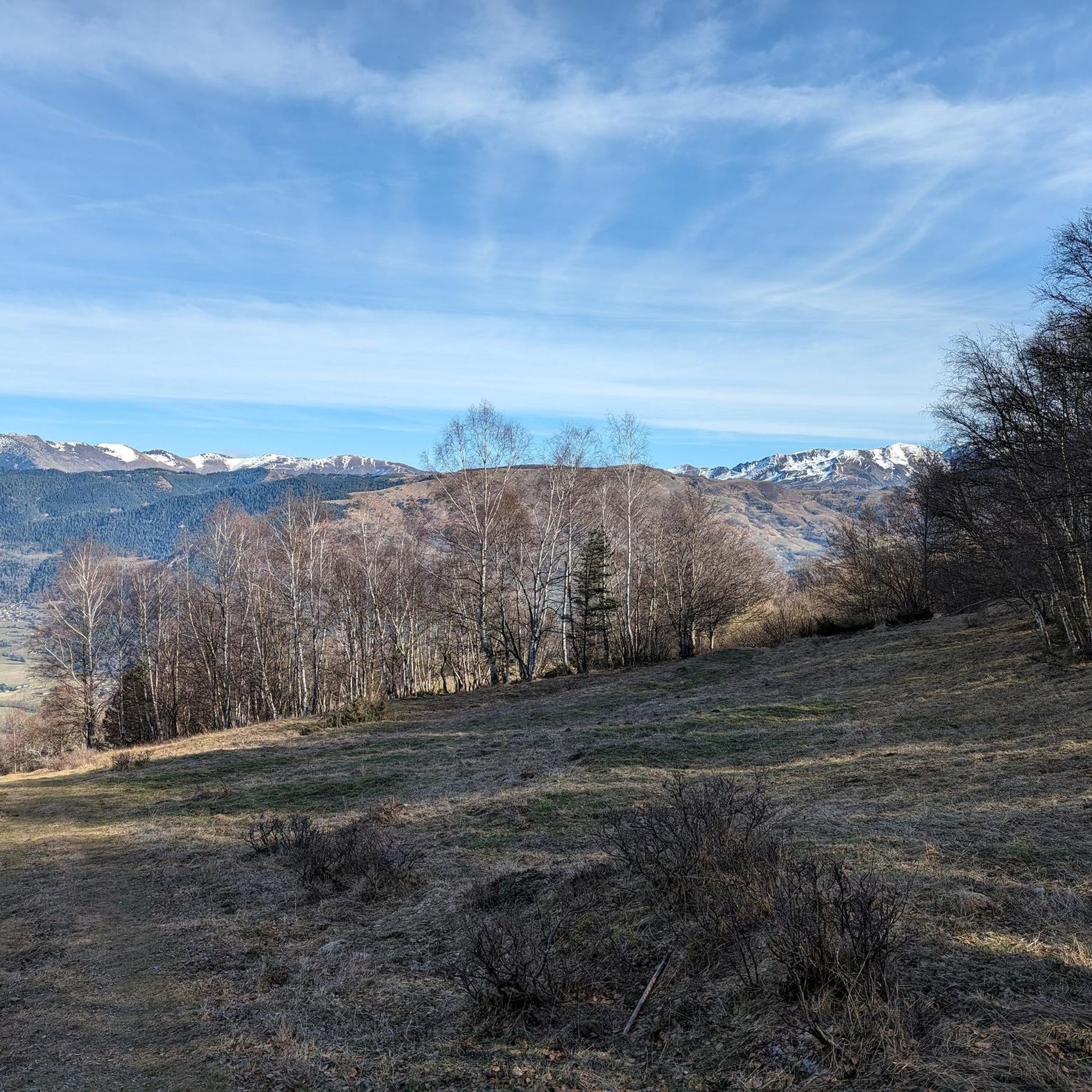
Mountaineering routes around Cadeilhan-Trachère are situated in the Hautes-Pyrénées department of southwestern France, offering diverse terrain for exploration. The commune itself sits at an altitude ranging from 834 meters to 1924 meters, characterized by a mountainous environment with open lawns on slopes. The landscape features forests of pine, fir, and beech, alongside numerous torrents, streams, and high-altitude lakes such as Lacs de Consaterre and l'Oule. This region provides direct access to varied terrain suitable for mountaineering, bordering the Pyrenees National…
Last updated: August 31, 2026
4.0
(2)
12
hikers
10.5km
07:16
1,370m
1,370m
Hard mountaineering route. Very good fitness required. Sure-footedness, sturdy shoes and alpine experience required.
5.0
(3)
7
hikers
17.5km
06:05
930m
930m
Hard mountaineering route. Very good fitness required. Mostly accessible paths. Sure-footedness required.

Sign up for free
4.5
(2)
4
hikers
7.53km
02:42
430m
430m
Moderate mountaineering route. Good fitness required. Mostly accessible paths. Sure-footedness required.
4.5
(2)
5
hikers
11.8km
04:10
270m
270m
Moderate mountaineering route. Good fitness required. Mostly accessible paths. Sure-footedness required.
Our route recommendations are based on thousands of hikes, rides, and runs completed by other people on komoot.
Start today with a free account
Your next adventure awaits.
Login or Signup
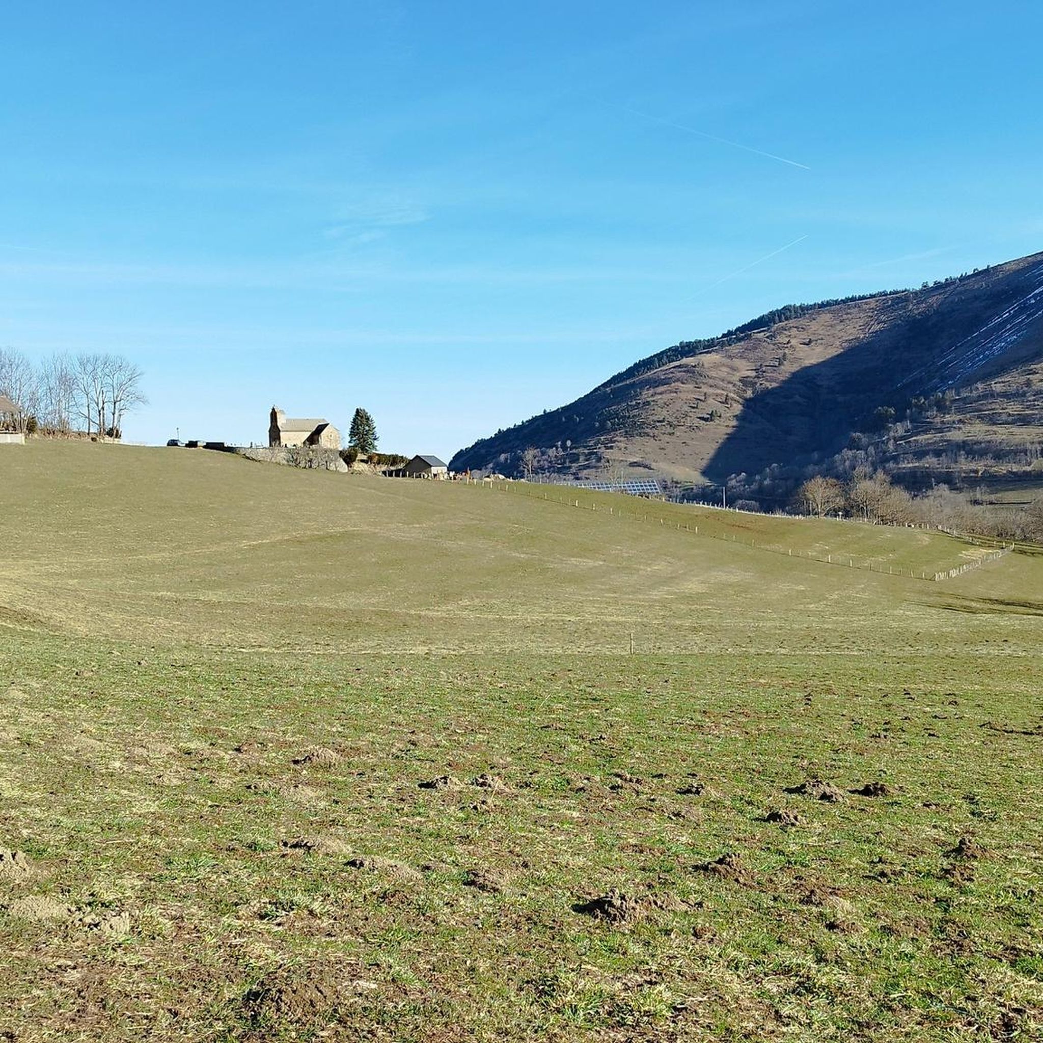
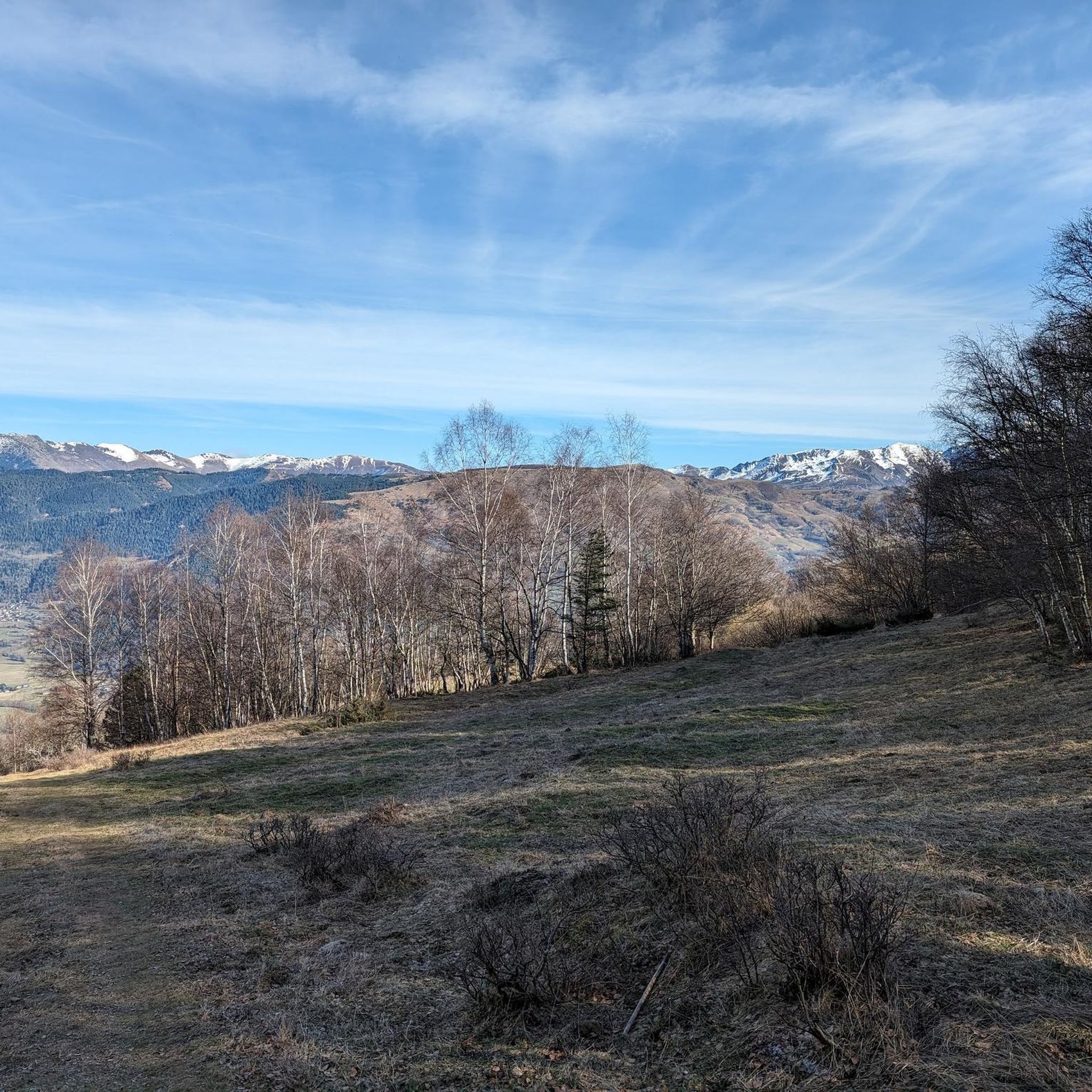
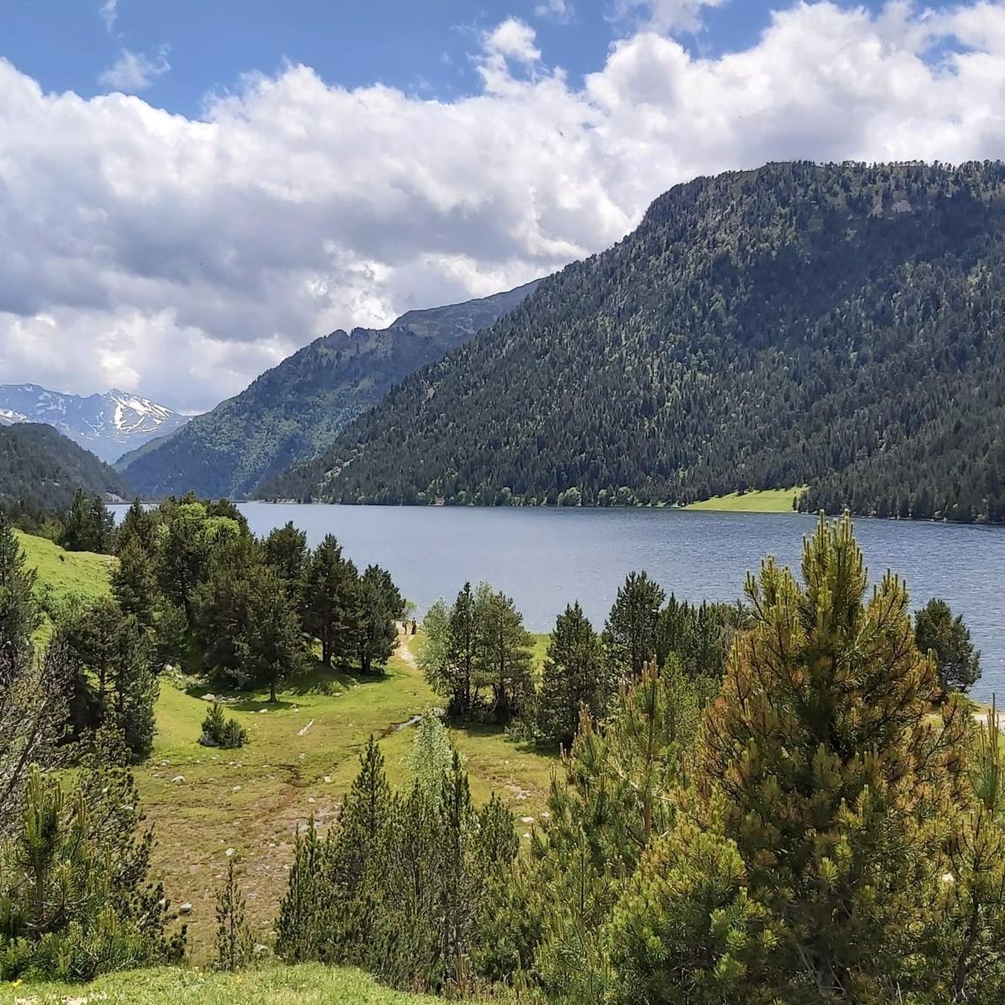
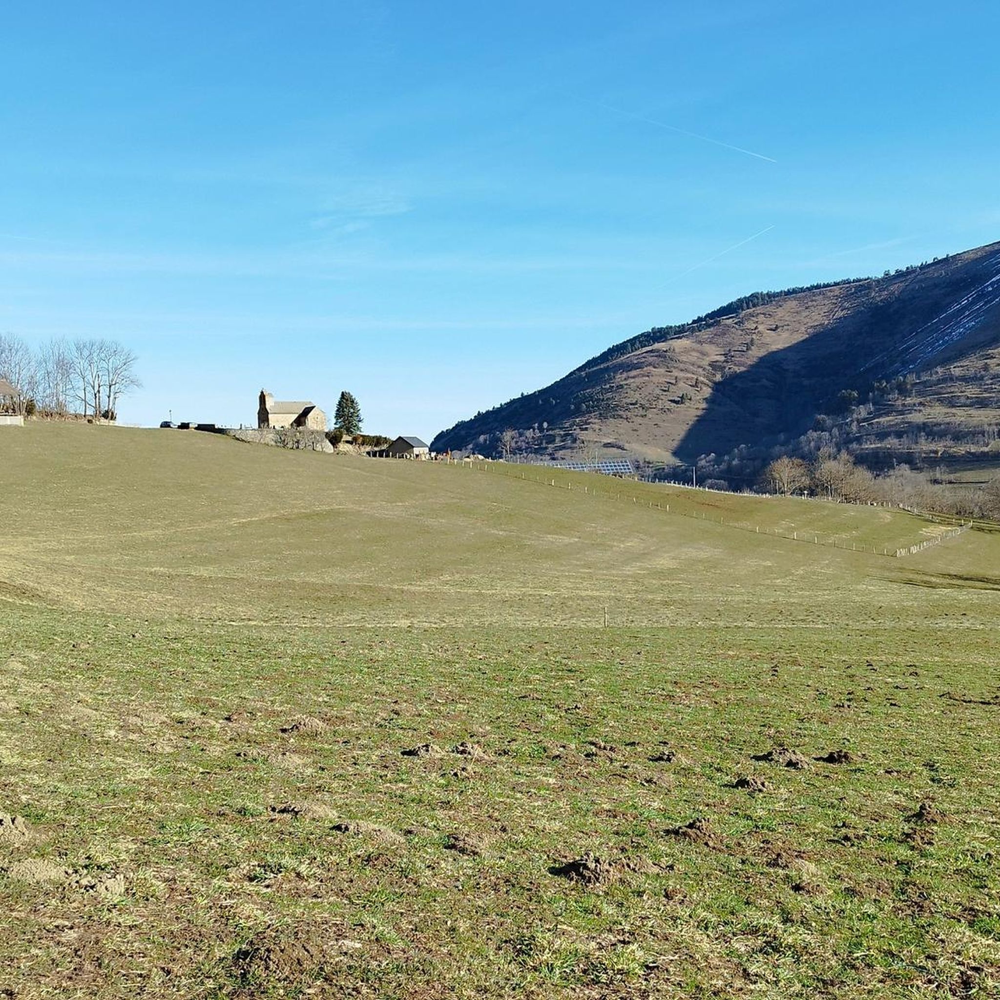
Tips from the Community

Beautiful lake next to the Bastan refuge
0
0

Difficult pass at first, especially in the heat. Easier after the first third. Be careful of the unlit tunnel 1 km from the summit. For added peace and quiet, the road leading up to the pass is closed to traffic from 4 p.m. to 6 p.m.
0
0

Great hike to do in winter with snowshoes/crampons. Great view 😍
0
0

Culminating at 2,215 meters above sea level, it is the highest pass in the Pyrenees taken by a road. Overlooking the village of Saint-Lary Soulan, it offers a lovely panorama of the valley.
0
0


One of the most difficult passes in the Pyrenees and in France with really hard percentages that go on and on. When you leave the road to pla d'Adet you go up a small road of goats, it's really nice in the middle of sheep and cows. Be careful when crossing the tunnel near the summit because it is not lit and animals may be in the tunnel. The view is magnificent it is really a must. You just have to go down the road, so watch out for the cows because you pick up speed very quickly.
2
0
Frequently Asked Questions
How many mountaineering routes can I explore around Cadeilhan-Trachère?
You can discover around 4 distinct mountaineering routes directly from Cadeilhan-Trachère, offering a variety of challenges and scenic beauty. These routes are highly rated by the komoot community, with an average score of 4.5 stars.
What makes Cadeilhan-Trachère a unique destination for mountaineering?
Cadeilhan-Trachère is nestled in the Hautes-Pyrénées, offering direct access to diverse mountainous terrain, dense forests, and high-altitude lakes. Its proximity to the Pyrenees National Park and Néouvielle Nature Reserve means you'll encounter stunning landscapes, from dramatic peaks to pristine lakes like Lake Orédon and Lake Oule.
Are there any moderate mountaineering routes suitable for those with some experience?
Yes, there are moderate routes available. For example, the Middle Bastan Lake – Upper Bastan Lake loop from Col de Portet is a fantastic option. This 7.3-mile (11.8 km) trail takes about 4 hours 10 minutes to complete, leading you through beautiful high-altitude lake country.
What are some challenging mountaineering routes for experienced climbers?
For experienced mountaineers, the region offers several demanding routes. Consider the Arbizon loop from Aulon, a difficult 6.4-mile (10.3 km) trail with a significant elevation gain of 4476 feet (1364 meters), typically taking over 7 hours. Another challenging option is the Sommet de Pouy Louby – Pic du Lion loop from Cazaux-Fréchet-Anéran-Camors, which is 10.9 miles (17.5 km) long and features varied mountainous terrain.
Can I find circular mountaineering routes in the Cadeilhan-Trachère region?
Absolutely. Many of the mountaineering routes around Cadeilhan-Trachère are designed as loops, allowing you to experience diverse scenery without retracing your steps. An example is The Refuge – Dam Wall loop from Aragnouet, a difficult 9-mile (14.5 km) route.
What kind of natural attractions can I expect to see along the mountaineering routes?
The routes often pass by stunning natural features. You can expect to see numerous high-altitude lakes, such as Middle Bastan Lake and Lower Bastan Lake. The region is also characterized by extensive forests of pine, fir, and beech, and offers panoramic views from mountain passes like Hourquette d'Ancizan.
What is the best time of year for mountaineering in Cadeilhan-Trachère?
The best time for mountaineering in Cadeilhan-Trachère is typically from late spring through early autumn (May to October), when the weather is generally more stable and trails are clear of snow. However, the region also offers opportunities for winter mountaineering and ice climbing for experienced individuals, particularly in the Gavarnie Valleys.
Are there any permits required for mountaineering in the Hautes-Pyrénées, especially near national parks?
While general hiking on marked trails usually doesn't require permits, specific regulations may apply within the Pyrenees National Park or Néouvielle Nature Reserve, especially for certain activities or overnight stays. It's always advisable to check the official website of the Pyrenees National Park for the latest information before your trip.
What are the typical durations for mountaineering routes in this area?
The durations for mountaineering routes around Cadeilhan-Trachère vary significantly based on difficulty and length. Moderate routes, like the Cap de Pède – Granges de Grascouéou loop from Vignec (4.6 miles / 7.4 km), can take around 2 hours 40 minutes. More difficult and longer routes, such as the Arbizon loop from Aulon (6.4 miles / 10.3 km), can extend to over 7 hours.
Are there any places to eat or stay near the mountaineering trails in Cadeilhan-Trachère?
Yes, the region offers amenities for hikers and mountaineers. You might find refuges or small establishments in nearby villages. For example, the Bastan Refuge is a notable spot. Larger towns like Saint-Lary-Soulan also provide a wider range of cafes, pubs, and accommodation options.
What kind of wildlife might I encounter while mountaineering in the Pyrenees National Park?
The Pyrenees National Park is known for its diverse wildlife. You might spot chamois, marmots, and various bird species, including raptors like vultures and eagles. The Néouvielle Nature Reserve, in particular, is celebrated for its exceptionally well-preserved flora and fauna, offering a chance to observe unique mountain ecosystems.
Most popular routes around Cadeilhan-Trachère
Most popular attractions around Cadeilhan-Trachère

Get inspired with the komoot mobile app


Explore more
Browse the best Mountain Hikes & Routes in other regions.
