The best mountain hikes around Sailhan
4.5
(9)
28
hikers
4
hikes
Mountaineering routes around Sailhan offer access to the high peaks and alpine landscapes of the Pyrenees. The region is characterized by challenging ascents, deep valleys, and a mix of forested slopes leading to rocky summits. These routes often involve significant elevation gain, traversing varied terrain from well-defined paths to more rugged, exposed sections.
Best mountaineering routes around Sailhan
- The most popular mountaineering route is Arbizon loop from Aulon, a difficult 6.4 miles (10.3 km) trail that takes about 7…
Last updated: June 24, 2026
4.0
(2)
12
hikers
10.3km
07:11
1,360m
1,360m
Hard mountaineering route. Very good fitness required. Sure-footedness, sturdy shoes and alpine experience required.
5.0
(3)
7
hikers
17.5km
06:05
930m
930m
Hard mountaineering route. Very good fitness required. Mostly accessible paths. Sure-footedness required.

Sign up for free
4.5
(2)
4
hikers
7.53km
02:42
430m
430m
Moderate mountaineering route. Good fitness required. Mostly accessible paths. Sure-footedness required.
4.5
(2)
5
hikers
11.8km
04:10
270m
270m
Moderate mountaineering route. Good fitness required. Mostly accessible paths. Sure-footedness required.
Our route recommendations are based on thousands of hikes, rides, and runs completed by other people on komoot.
Start today with a free account
Your next adventure awaits.
Login or Signup
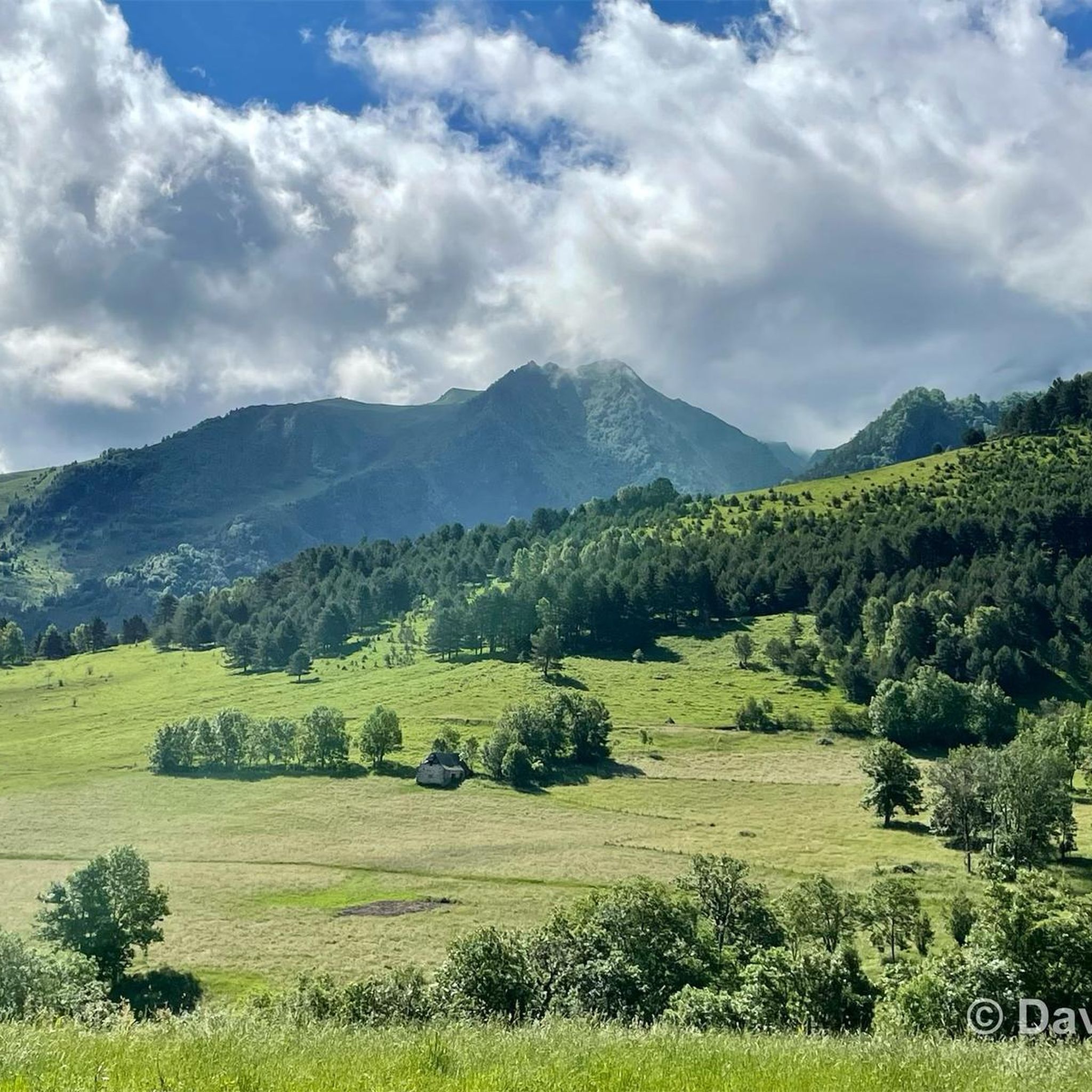
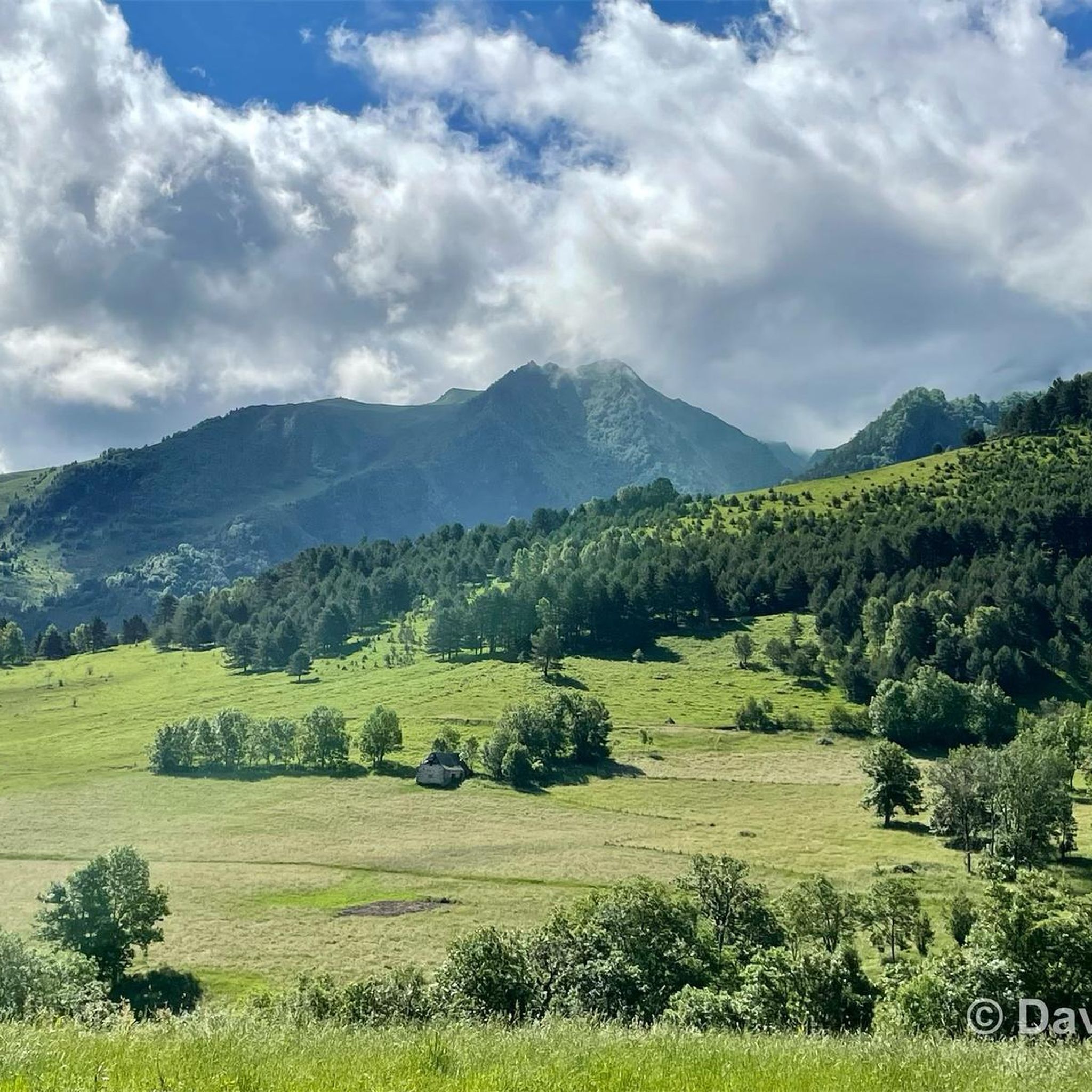

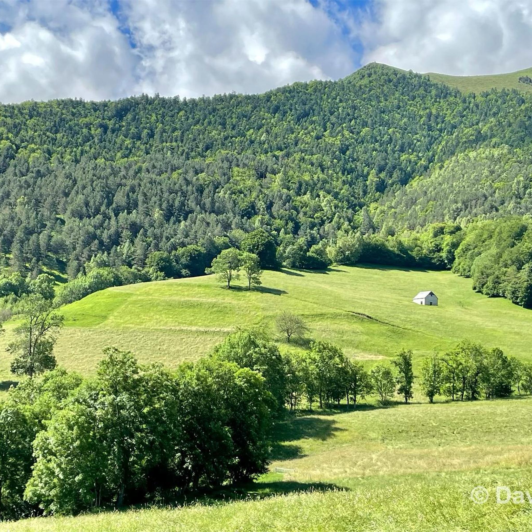
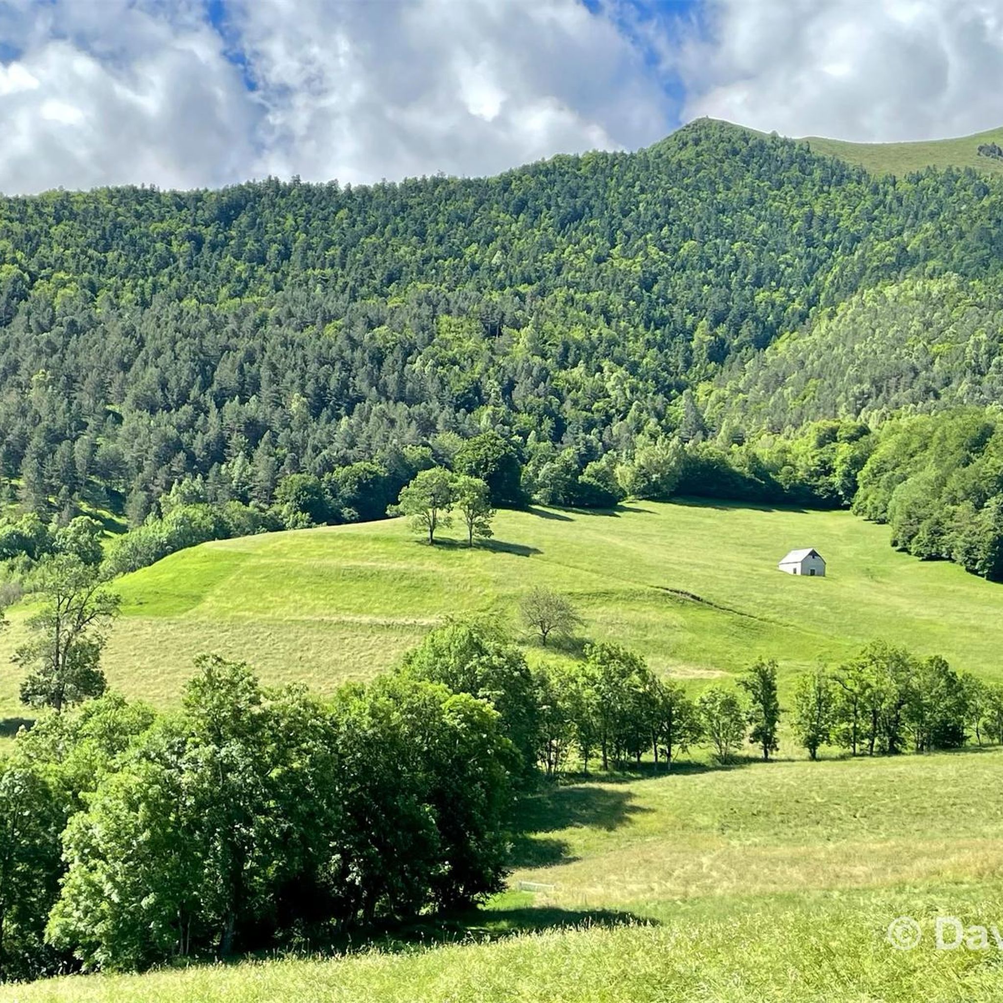
Tips from the Community

Difficult pass at first, especially in the heat. Easier after the first third. Be careful of the unlit tunnel 1 km from the summit. For added peace and quiet, the road leading up to the pass is closed to traffic from 4 p.m. to 6 p.m.
0
0

Great hike to do in winter with snowshoes/crampons. Great view 😍
0
0

Culminating at 2,215 meters above sea level, it is the highest pass in the Pyrenees taken by a road. Overlooking the village of Saint-Lary Soulan, it offers a lovely panorama of the valley.
0
0


One of the most difficult passes in the Pyrenees and in France with really hard percentages that go on and on. When you leave the road to pla d'Adet you go up a small road of goats, it's really nice in the middle of sheep and cows. Be careful when crossing the tunnel near the summit because it is not lit and animals may be in the tunnel. The view is magnificent it is really a must. You just have to go down the road, so watch out for the cows because you pick up speed very quickly.
2
0

Very beautiful point of view on the surrounding peaks as well as on the peak of Bastan which awaits you. The night at the edge of the lake is very pleasant.
0
1
Frequently Asked Questions
What kind of mountaineering routes can I find around Sailhan?
Sailhan, nestled in the Pyrenees, offers a range of mountaineering routes characterized by challenging ascents, deep valleys, and varied terrain. You'll find options from moderate climbs through mountain pastures to difficult routes leading to prominent peaks, often involving significant elevation gain.
Are there any easy mountaineering routes suitable for beginners near Sailhan?
While many routes in Sailhan are geared towards experienced mountaineers, there are moderate options available. For example, the Cap de Pède – Granges de Grascouéou loop from Vignec is a moderate 7.4 km trail that takes about 2 hours 40 minutes, offering a good introduction to the region's mountain pastures without extreme difficulty.
What is the best time of year for mountaineering in Sailhan?
The best time for mountaineering in Sailhan is typically during the warmer months, from late spring to early autumn (June to September), when trails are generally free of snow and weather conditions are more stable. However, conditions can change rapidly in the mountains, so always check the forecast before heading out.
Are there any circular mountaineering trails in the Sailhan area?
Yes, several routes around Sailhan are circular, allowing you to start and end at the same point. Notable examples include the challenging Arbizon loop from Aulon and the moderate Middle Bastan Lake – Upper Bastan Lake loop from Col de Portet.
What are some interesting landmarks or natural attractions to see along the mountaineering routes?
The region around Sailhan is rich in natural beauty. Along your routes, you might encounter stunning mountain passes like Hourquette d'Ancizan or Portet Pass. There are also beautiful alpine lakes such as Middle Bastan Lake and Lake Génos-Loudenvielle, which often feature as scenic points on various tours.
What do other mountaineers enjoy most about the routes in Sailhan?
The mountaineering routes in Sailhan are highly rated by the komoot community, with an average score of 4.5 stars. Reviewers often praise the expansive views across the high mountains, the challenging ascents to prominent peaks, and the varied terrain that makes each route a unique experience.
Are there any longer, more advanced mountaineering routes for experienced climbers?
Absolutely. For experienced mountaineers seeking a significant challenge, the Sommet de Pouy Louby – Pic du Lion loop from Cazaux-Fréchet-Anéran-Camors is a difficult 17.5 km path that offers expansive views and requires sustained effort. The Arbizon loop from Aulon is another difficult option, covering 10.3 km with substantial elevation gain.
What is the typical duration and distance for mountaineering routes in Sailhan?
Mountaineering routes in Sailhan vary significantly. You can find moderate trails like the Cap de Pède – Granges de Grascouéou loop, which is 7.4 km and takes about 2 hours 40 minutes. More challenging routes, such as the Arbizon loop, can be 10.3 km and require around 7 hours 13 minutes due to significant elevation changes.
Is there parking available near the trailheads for mountaineering routes in Sailhan?
While specific parking details for each trailhead are best checked on the individual route pages, many mountaineering routes in the Pyrenees, including those around Sailhan, typically have designated parking areas at common starting points like villages (e.g., Aulon, Vignec) or mountain passes (e.g., Col de Portet). It's advisable to plan your route and check parking availability beforehand.
What kind of terrain can I expect on mountaineering routes around Sailhan?
The terrain around Sailhan is diverse, ranging from well-defined paths through forested slopes and mountain pastures to more rugged, exposed sections as you gain elevation towards rocky summits. Expect significant elevation changes and a mix of surfaces, characteristic of high-alpine environments in the Pyrenees.
Are there any routes that pass by lakes or offer views of them?
Yes, several routes in the area feature beautiful alpine lakes. The Middle Bastan Lake – Upper Bastan Lake loop from Col de Portet is a prime example, offering stunning views of these high-altitude bodies of water. You might also catch glimpses of Lake Génos-Loudenvielle from certain vantage points.
Most popular routes around Sailhan
Most popular attractions around Sailhan

Get inspired with the komoot mobile app


Explore more
Browse the best Mountain Hikes & Routes in other regions.
