The best walks and hikes around Lahitte-Toupière
4.9
(12)
99
hikers
19
hikes
Hiking around Lahitte-Toupière offers a variety of trails through a landscape characterized by cultivated fields, gentle rolling terrain, and local water features such as Lac de Bassillon-Vauzé. The region's elevation changes are generally modest, with some routes featuring more significant climbs. These hiking trails around Lahitte-Toupière provide opportunities to explore the rural environment.
Best hiking trails around Lahitte-Toupière
- The most popular hiking route is Samazan – Trattore Fiat loop from Auriébat, an 18.5 miles (29.8 km) trail that takes…
Last updated: June 24, 2026
5.0
(5)
37
hikers
27.9km
07:23
270m
270m
Hard hike. Very good fitness required. Easily-accessible paths. Suitable for all skill levels.
5.0
(1)
4
hikers
10.2km
02:40
80m
80m
Moderate hike. Good fitness required. Easily-accessible paths. Suitable for all skill levels.

Sign up for free
4.5
(2)
5
hikers
6.17km
01:34
10m
10m
Easy hike. Great for any fitness level. Easily-accessible paths. Suitable for all skill levels.
3
hikers
7.53km
02:04
120m
130m
Moderate hike. Good fitness required. Easily-accessible paths. Suitable for all skill levels.
5.0
(1)
4
hikers
7.48km
02:00
90m
90m
Moderate hike. Good fitness required. Easily-accessible paths. Suitable for all skill levels.
Get access to more routes and recommendations from other explorers.
Sign up for free
Already have an account?
Our route recommendations are based on thousands of hikes, rides, and runs completed by other people on komoot.
Start today with a free account
Your next adventure awaits.
Login or Signup


Tips from the Community

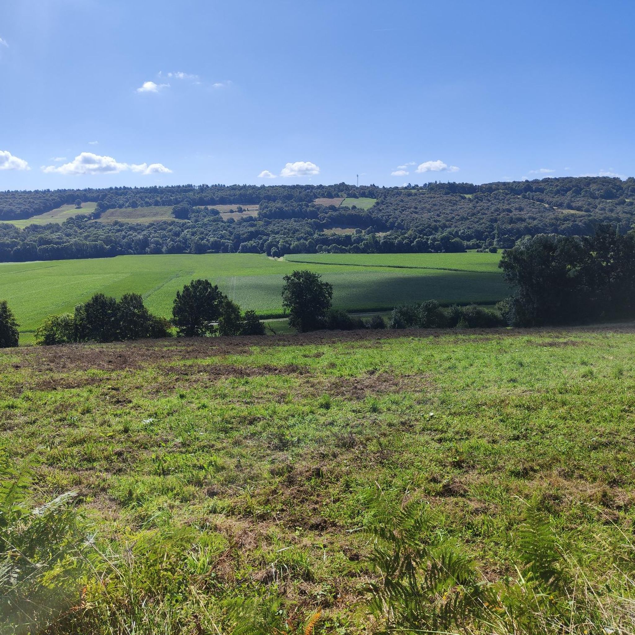
Beautiful field on French soil
4
1
Large square with bars, shops and a pharmacy around it
3
1
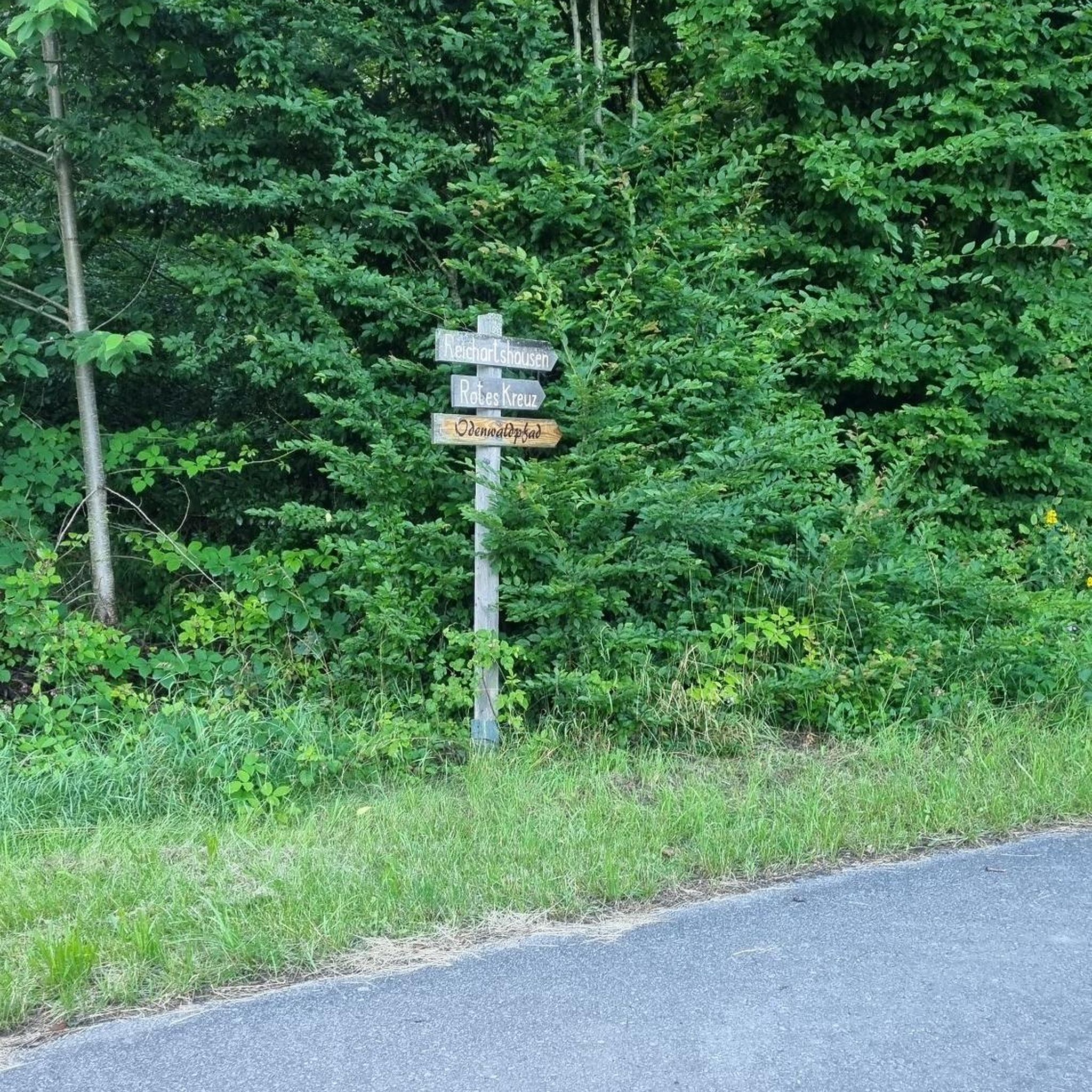
Beautiful landscapes on the Via Tolosana
5
1
Frequently Asked Questions
How many hiking trails are available in Lahitte-Toupière?
There are approximately 19 hiking trails around Lahitte-Toupière, offering a variety of options for different skill levels and preferences.
Are there easy hiking trails suitable for beginners or families in Lahitte-Toupière?
Yes, Lahitte-Toupière offers several easy trails perfect for beginners or families. For example, the Maubouguet loop from Maubourguet is an easy 3.8-mile (6.2 km) route through agricultural areas with minimal elevation gain. Another accessible option is the Lac de Bassillon-Vauzé loop from Bassillon-Vauzé, which is about 2.5 miles (4 km) long and circles the lake.
What are the typical distances and elevation changes for hikes in Lahitte-Toupière?
Hikes in Lahitte-Toupière vary significantly. You can find shorter, flatter routes like the Maubouguet loop from Maubourguet with only 3.8 miles (6.2 km) and minimal elevation. More challenging options, such as the Samazan – Trattore Fiat loop from Auriébat, extend to 18.5 miles (29.8 km) with over 360 meters of elevation gain, catering to experienced hikers.
What is the best season for hiking in Lahitte-Toupière?
The best seasons for hiking in Lahitte-Toupière are generally spring and autumn. During these times, the weather is mild, and the natural landscape of cultivated fields and gentle hills is particularly pleasant. Summer can also be enjoyable, but it's advisable to start early to avoid the midday heat. Winter hiking is possible, but some paths might be muddy, and daylight hours are shorter.
Can I bring my dog on hikes in Lahitte-Toupière?
Most hiking trails in rural areas like Lahitte-Toupière are generally dog-friendly, especially if your dog is well-behaved and kept on a leash. However, always be mindful of agricultural areas and livestock, and ensure you clean up after your pet. It's always a good idea to check local signage for any specific restrictions.
Are there any scenic viewpoints or natural attractions along the trails?
While there are no specific 'highlights' listed, the region is characterized by cultivated fields, gentle rolling terrain, and the presence of Lac de Bassillon-Vauzé. Routes like the Lac de Bassillon-Vauzé loop from Corbère-Abères offer pleasant views of the lake and surrounding countryside. Many trails provide panoramic views over the agricultural landscapes.
Are there circular hiking routes available in Lahitte-Toupière?
Yes, many of the trails in Lahitte-Toupière are designed as circular routes, allowing you to start and end at the same point. Examples include the Lac de Bassillon-Vauzé loop from Corbère-Abères and the Panorama sui campi coltivati – Closed loop from Peyrelongue-Abos, which offer convenient options for day hikes.
What do other hikers enjoy most about hiking in Lahitte-Toupière?
The hiking experience in Lahitte-Toupière is highly rated by the komoot community, with an average score of 4.7 stars from over 14 reviews. Hikers often praise the peaceful rural environment, the gentle rolling landscapes, and the opportunities to explore the local agricultural areas and water features like Lac de Bassillon-Vauzé.
Is parking available at the trailheads in Lahitte-Toupière?
In rural areas like Lahitte-Toupière, parking is typically available near village centers or designated starting points for popular trails. For specific routes, it's often possible to find roadside parking or small car parks in the nearby towns or hamlets where the loops begin. Always check local signs for any parking restrictions.
Are there any places to eat or drink near the hiking trails?
While Lahitte-Toupière itself is a small commune, the surrounding towns and villages, such as Maubourguet or Corbère-Abères, often have local establishments like small restaurants, cafés, or bakeries where you can find refreshments or a meal before or after your hike. It's advisable to check opening hours, especially in smaller villages.
What kind of terrain can I expect on the hiking trails?
The terrain in Lahitte-Toupière is primarily characterized by cultivated fields and gentle rolling hills. Trails often follow dirt paths, farm tracks, and quiet country roads. While some routes feature modest elevation changes, the overall landscape is generally accessible, offering a mix of open views and occasional shaded sections.

Get inspired with the komoot mobile app


Explore more
Browse the best Hikes in other regions.
