The best mountain hikes around Siévoz
4.8
(5)
39
hikers
4
hikes
Mountaineering around Siévoz offers routes characterized by significant elevation changes and alpine landscapes, situated near Grenoble. The terrain features a mix of high mountain passes, such as Col de l'Ollière, and scenic loops around natural features like Lac Charlet. Routes often traverse valleys and ascend to prominent points, providing varied challenges for mountaineers.
Best mountaineering routes around Siévoz
- The most popular mountaineering route is Lac Charlet – L'Oreille du Loup loop from Villard-Saint-Christophe, a 5.7 miles (9.2 km) trail…
Last updated: June 24, 2026
12
hikers
9.18km
04:16
790m
790m
Hard mountaineering route. Good fitness required. Sure-footedness, sturdy shoes and alpine experience required.
4.0
(1)
11
hikers
8.99km
04:04
830m
830m
Hard mountaineering route. Good fitness required. Sure-footedness, sturdy shoes and alpine experience required.

Sign up for free
5.0
(1)
8
hikers
11.0km
04:33
820m
820m
Hard mountaineering route. Good fitness required. Sure-footedness, sturdy shoes and alpine experience required.
5.0
(2)
7
hikers
15.4km
05:19
750m
750m
Hard mountaineering route. Very good fitness required. Mostly accessible paths. Sure-footedness required.
5.0
(1)
1
hikers
10.7km
03:49
620m
620m
Moderate mountaineering route. Good fitness required. Mostly accessible paths. Sure-footedness required.
Our route recommendations are based on thousands of hikes, rides, and runs completed by other people on komoot.
Start today with a free account
Your next adventure awaits.
Login or Signup

Tips from the Community


great hike to do in good weather. very shaded
0
0

The Pont de Brion belvedere offers a breathtaking view of the charming stone bridge that spans the river below, with green hills as a backdrop. Along the trail, enjoy the tranquility of the place and the vibrant greenery that characterizes this picturesque spot.
0
0

Beautiful but unfortunately becoming a bit of a victim of its success. Done on the morning of November 2nd and there were a lot of people.
2
1

Incredible vertiginous footbridge, one of the 2 Himalayan footbridges
0
0
Incredible vertiginous footbridge, one of the 2 Himalayan footbridges
0
0
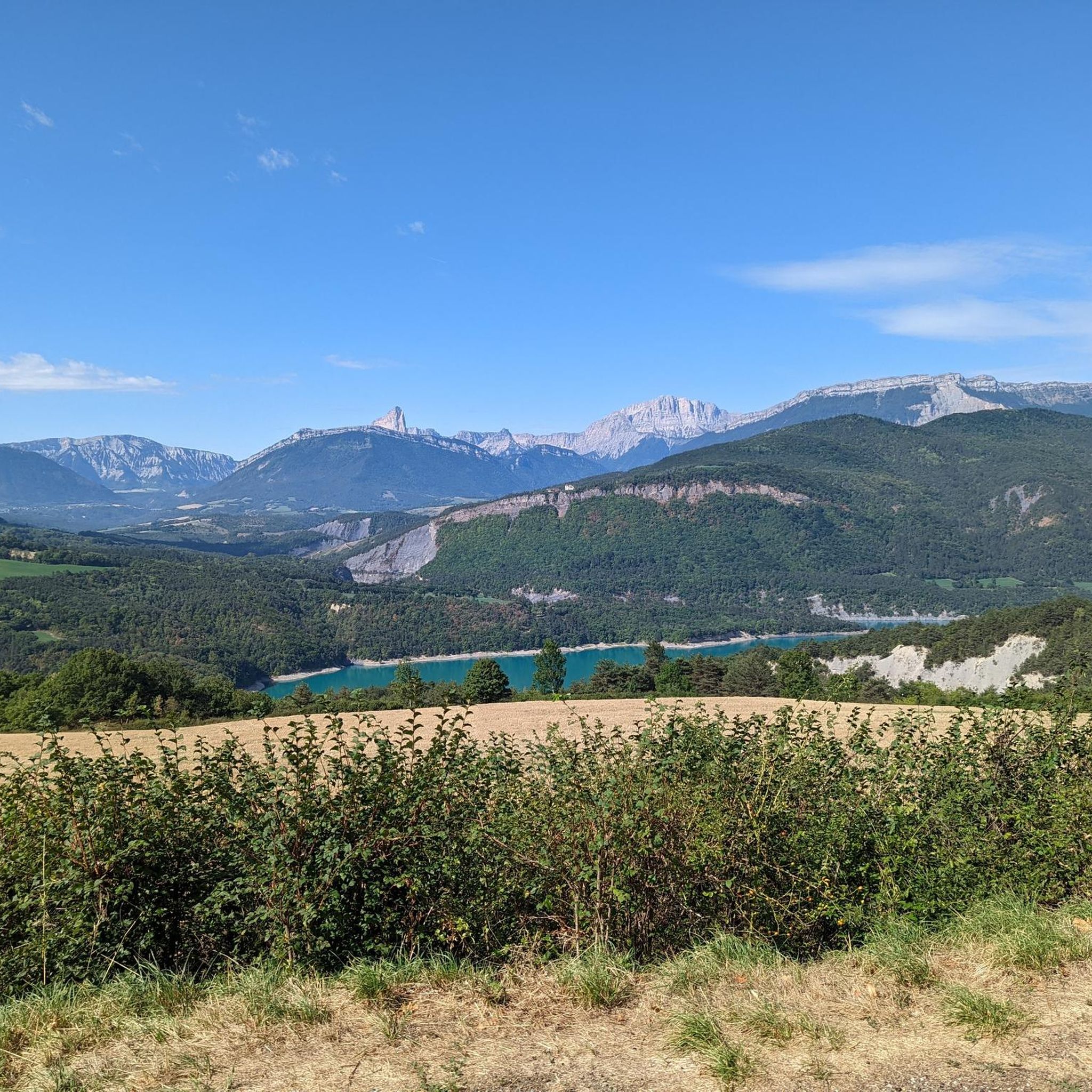
Magnificent view of the lake
0
0
Frequently Asked Questions
What is the overall difficulty level of mountaineering routes around Siévoz?
Mountaineering around Siévoz is primarily characterized by challenging routes. Out of the available tours, three are rated as difficult, while one is considered moderate. This region is best suited for experienced mountaineers or those looking for a significant physical challenge.
Are there any moderate mountaineering routes suitable for those looking for a less strenuous option?
Yes, for those seeking a moderate challenge, the Lac Charlet – Col de l'Ollière 2024 m loop from Villard-Saint-Christophe is a great option. This 10.7 km route takes approximately 3 hours 48 minutes to complete and leads through alpine meadows to a high mountain pass.
What kind of landscapes can I expect to see on these mountaineering routes?
The routes around Siévoz offer diverse alpine landscapes, including high mountain passes like Col de l'Ollière, scenic loops around natural features such as Lac Charlet, and ascents to prominent points like Le Tabor. You'll experience significant elevation changes and expansive views of the surrounding mountains.
Are there any circular mountaineering routes in Siévoz?
Yes, all the mountaineering routes listed for Siévoz are circular. For example, you can explore the Lac Charlet – Le Tabor loop from Villard-Saint-Christophe, which is a challenging 11.9 km route offering stunning views.
What are some of the longer and more challenging mountaineering routes available?
For a longer and more demanding experience, consider the Drac Footbridge – Ebron Footbridge loop from Mayres-Savel. This difficult route spans 15.6 km and typically takes around 5 hours 21 minutes to complete, featuring significant elevation gains.
What is the best time of year for mountaineering in Siévoz?
The best time for mountaineering in Siévoz is generally from late spring to early autumn (June to September) when the snow has melted from higher elevations and weather conditions are more stable. Always check local weather forecasts and trail conditions before heading out, as alpine weather can change rapidly.
Are there any notable landmarks or points of interest along the mountaineering routes?
Yes, several routes pass by interesting landmarks. You might encounter the impressive Drac Footbridge, natural formations like La Pierre Percée, or high mountain passes such as Plan Collet Pass. Some routes also offer panoramic views, including the Tabor Summit 360° Panoramic View.
What should I pack for a summer mountaineering trip in Siévoz?
Even in summer, alpine conditions can be unpredictable. Essential items include sturdy hiking boots, layered clothing (including waterproof and windproof outer layers), sun protection (hat, sunglasses, sunscreen), sufficient water and snacks, a map and compass or GPS device, a first-aid kit, and a headlamp. Trekking poles are also highly recommended for stability on steep terrain.
Where can I find parking for these mountaineering trailheads?
Many of the routes, such as the loops around Lac Charlet and Le Tabor, start from Villard-Saint-Christophe, where parking is typically available near the village or designated trailheads. For routes starting from Mayres-Savel, like the Drac Footbridge loop, parking can usually be found in or near the village. Always check local signage for specific parking regulations.
What do other mountaineers say about the routes in Siévoz?
The mountaineering routes in Siévoz are highly regarded by the komoot community, holding an average score of 4.75 stars from over 6 reviews. Mountaineers frequently praise the challenging ascents, the stunning alpine lakes, and the rewarding views from the high mountain passes.
Are there any routes that offer views of the wider Écrins Mountains?
Yes, some of the higher elevation routes and summits in the Siévoz area provide spectacular vistas. For instance, the Tabor Summit 360° Panoramic View is known for offering extensive panoramas, which can include distant views of the majestic Écrins Mountains on clear days.
Can I expect to see any mountain peaks or summits on these routes?
Absolutely. The mountaineering routes in Siévoz are designed to take you to prominent peaks and passes. You can reach summits like Le Sénépy or Le Chatel, and experience the panoramic views from the Tabor Summit.
Most popular attractions around Siévoz

Get inspired with the komoot mobile app


Explore more
Browse the best Mountain Hikes & Routes in other regions.
