The best mountain hikes around Saint-Martin-De-Clelles
4.8
(7)
35
hikers
10
hikes
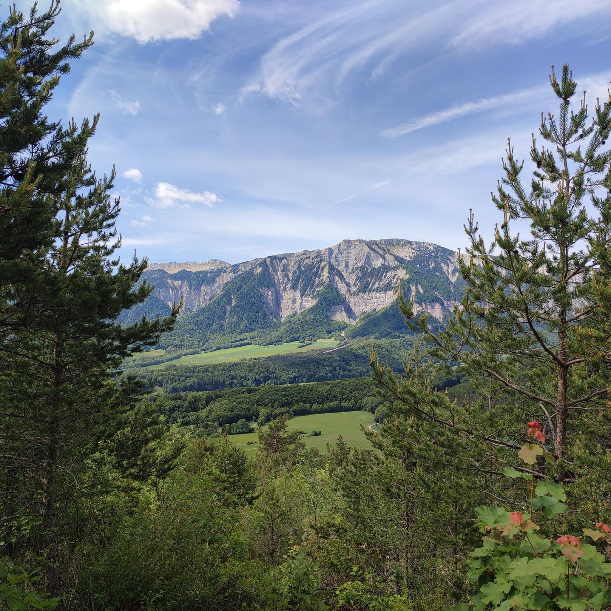
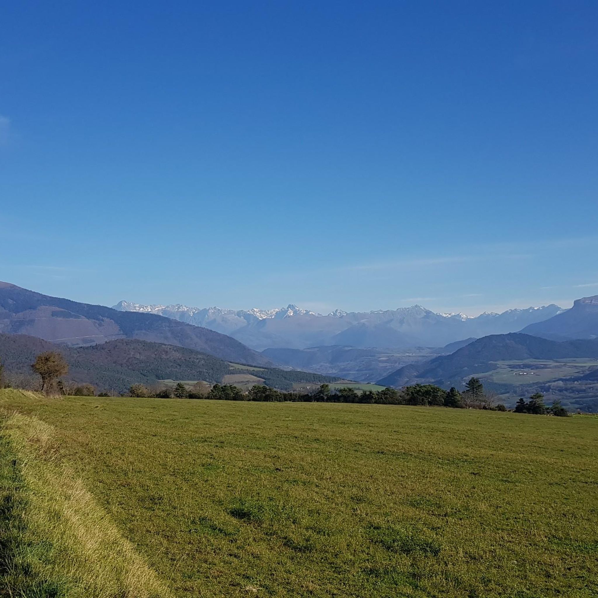
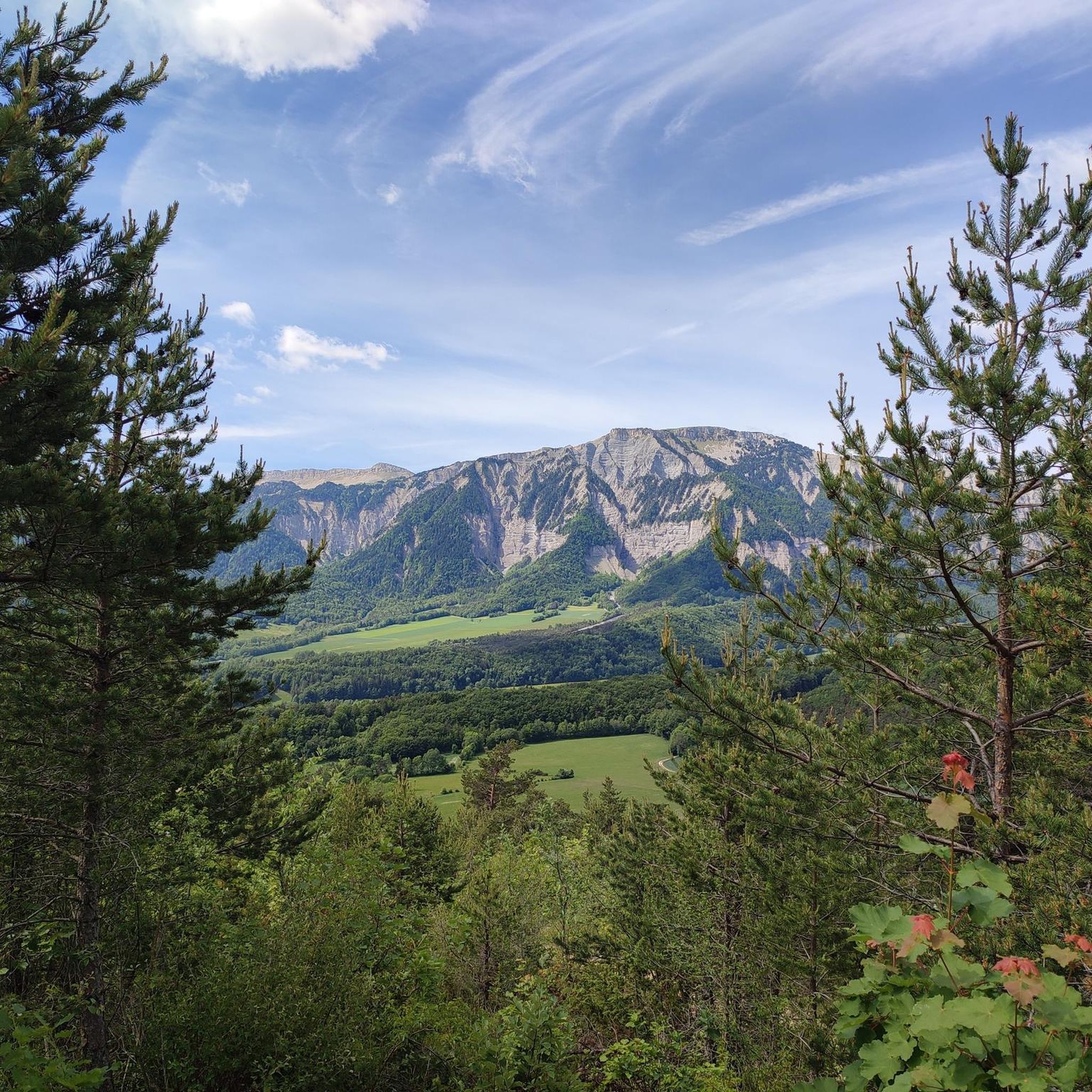
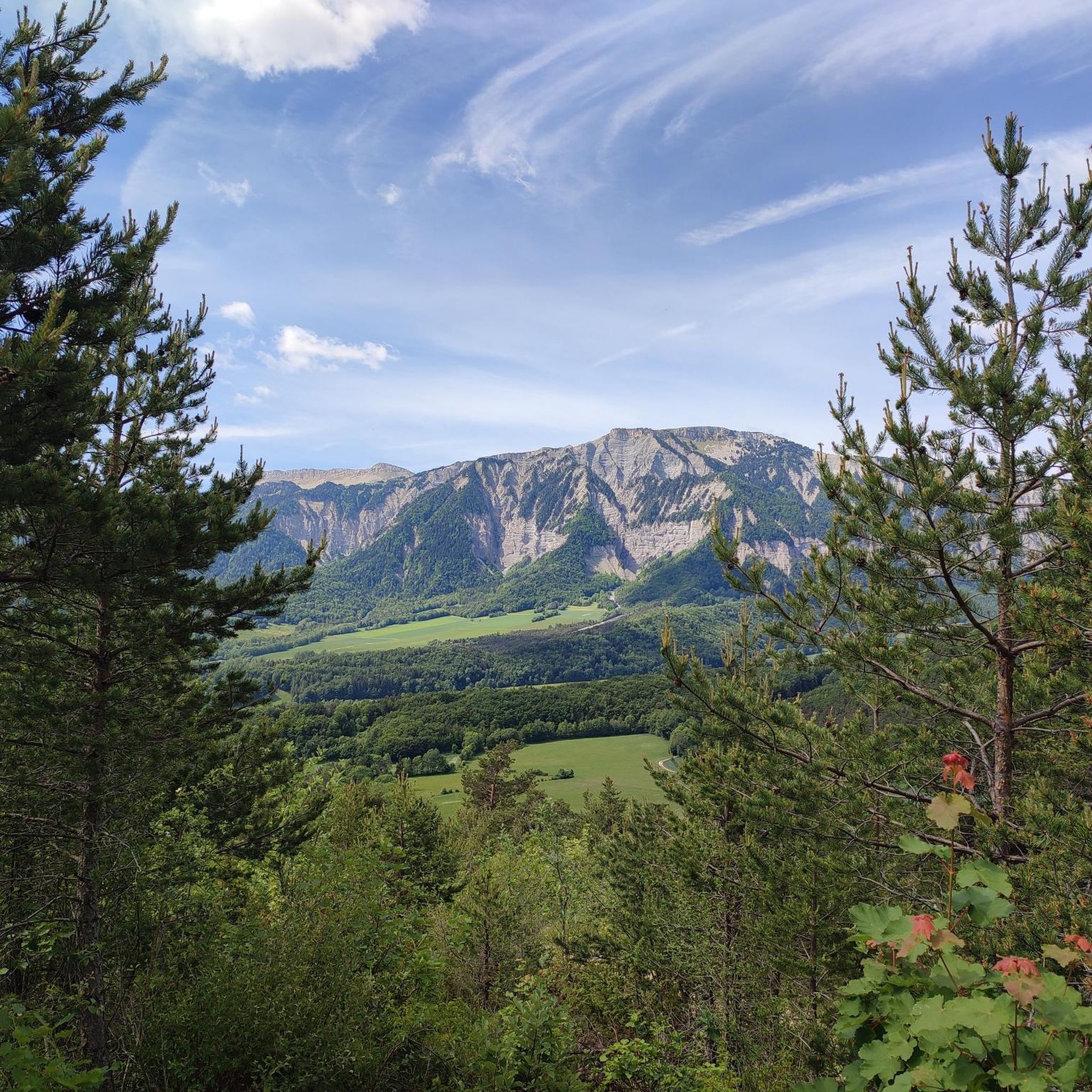
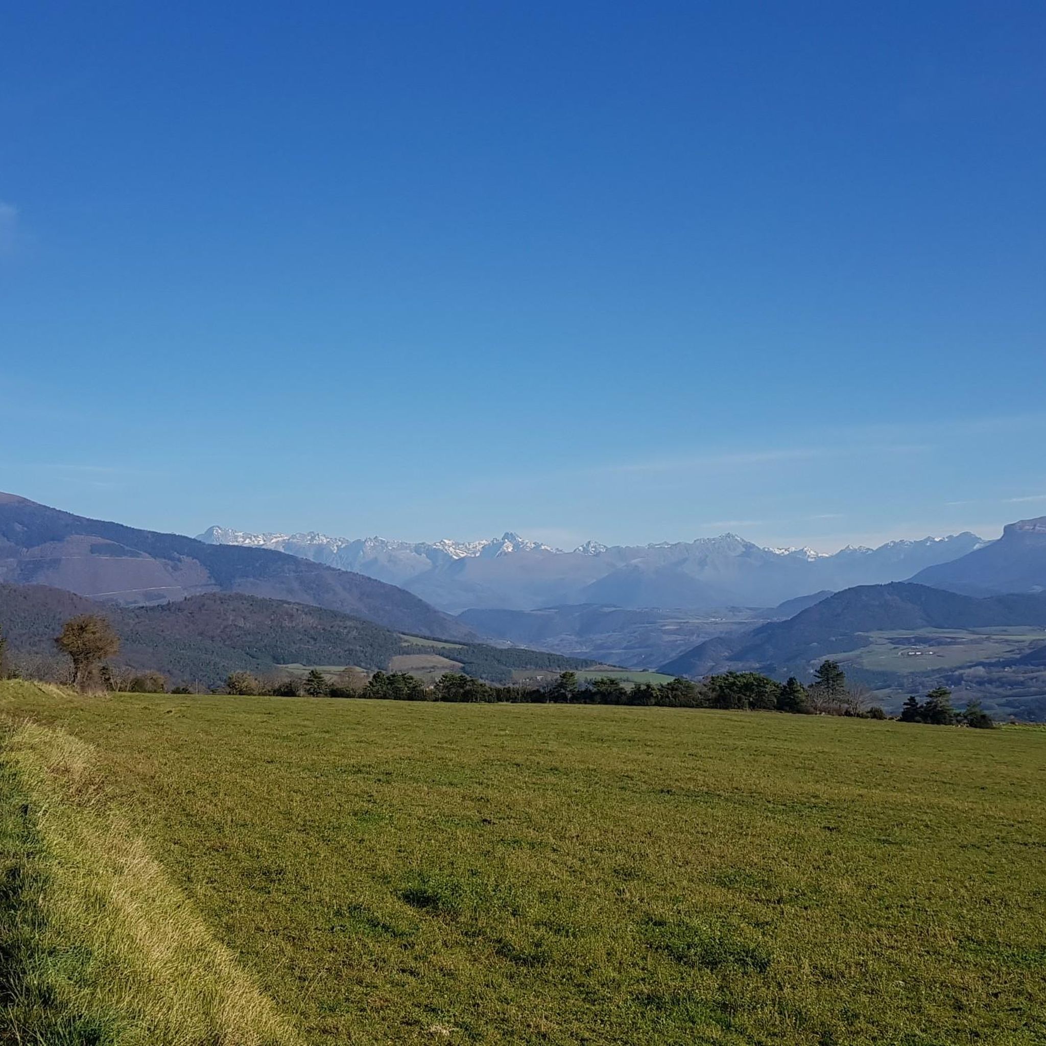
Mountaineering routes around Saint-Martin-De-Clelles are situated in a region characterized by significant elevation changes, deep valleys, and prominent mountain features. The landscape includes a mix of rocky terrain, forested slopes, and open alpine areas, offering diverse environments for mountaineering. This area provides access to challenging ascents and panoramic viewpoints, typical of the Vercors massif.
Best mountaineering routes around Saint-Martin-De-Clelles
- The most popular mountaineering route is Path with panoramic view – Grand Veymont loop from Gresse-en-Vercors, a difficult 7.6 miles…
Last updated: July 6, 2026
5.0
(1)
9
hikers
12.2km
06:40
1,080m
1,080m
Hard mountaineering route. Very good fitness required. Sure-footedness, sturdy shoes and alpine experience required.
5.0
(1)
9
hikers
16.9km
07:14
1,000m
1,000m
Hard mountaineering route. Very good fitness required. Sure-footedness, sturdy shoes and alpine experience required.

Sign up for free
5.0
(2)
7
hikers
15.4km
05:19
750m
750m
Hard mountaineering route. Very good fitness required. Mostly accessible paths. Sure-footedness required.
5.0
(1)
6
hikers
12.7km
04:05
470m
470m
Moderate mountaineering route. Good fitness required. Mostly accessible paths. Sure-footedness required.
4.0
(2)
4
hikers
Easy mountaineering route. Great for any fitness level. Easily-accessible paths. Suitable for all skill levels.
Get access to more routes and recommendations from other explorers.
Sign up for free
Already have an account?
Our route recommendations are based on thousands of hikes, rides, and runs completed by other people on komoot.
Start today with a free account
Your next adventure awaits.
Login or Signup

Tips from the Community

fairly easy, very nice views, quiet roads.
0
0
As pretty at the top as at the bottom, lots of ways to get to the top, accessible for all levels (not technical but lots of elevation gain depending on your starting point) but it's worth it!
1
0
Great view! And those on all sides, some areas where it is easier to get your hands on (over 100 meters) but nothing insurmountable! No dangerous areas!
0
0


great hike to do in good weather. very shaded
0
0

Breathtaking view of the two very distinctive peaks.
1
0
Frequently Asked Questions
How many mountaineering routes are available around Saint-Martin-De-Clelles?
There are over 10 mountaineering routes around Saint-Martin-De-Clelles, offering a range of experiences from moderate climbs to challenging ascents. You'll find a good selection of trails to explore the diverse Vercors massif.
Are there any easy mountaineering routes suitable for beginners?
While many routes in the area are challenging, there is at least one easy mountaineering route available. For those looking for a less strenuous option, consider exploring the surrounding valleys or shorter, well-marked paths before tackling the more demanding ascents.
What are some challenging mountaineering routes in the Saint-Martin-De-Clelles area?
For experienced mountaineers seeking a challenge, routes like the Bachassons Pass loop from Gresse-en-Vercors offer significant elevation gain and distance. This difficult 22.2 km route involves over 1700 meters of ascent and typically takes over 10 hours to complete, providing a demanding and rewarding experience.
Are there any circular mountaineering routes?
Yes, many of the mountaineering routes around Saint-Martin-De-Clelles are circular, allowing you to start and end at the same point. Examples include the Path with panoramic view – Grand Veymont loop from Gresse-en-Vercors and the Selle Pass loop from Richardière, both offering comprehensive tours of their respective areas.
What can I see along the mountaineering routes around Saint-Martin-De-Clelles?
The routes offer stunning natural sights. You can encounter prominent summits like Grand Veymont, explore mountain passes such as Col de l'Allimas, or enjoy panoramic views from spots like Brisou Ridge. Some routes also pass by unique features like the Drac and Ebron footbridges.
What is the best time of year for mountaineering in Saint-Martin-De-Clelles?
The best time for mountaineering in Saint-Martin-De-Clelles is typically from late spring to early autumn (May to October). During these months, the weather is generally more stable, and trails are clear of snow, offering optimal conditions for ascents and enjoying the high-altitude landscapes.
Is winter mountaineering possible in this region?
Winter mountaineering in the Vercors massif around Saint-Martin-De-Clelles is possible but requires significant experience, specialized equipment (such as snowshoes, crampons, and ice axes), and awareness of avalanche risks. Conditions can be harsh and unpredictable, so it's crucial to check weather forecasts and snow conditions before attempting any winter routes.
Are there any family-friendly mountaineering options?
While many routes are challenging, families with older, experienced children might enjoy some of the moderate trails. For younger children, consider shorter, less steep sections or explore the lower-altitude paths and villages in the surrounding area. Always assess the difficulty and duration carefully.
What do other mountaineers enjoy most about the routes here?
The mountaineering routes around Saint-Martin-De-Clelles are highly rated by the komoot community, with an average score of 4.75 stars. Reviewers often praise the extensive panoramic views, the challenging ascents, and the diverse terrain that includes rocky sections, forested slopes, and open alpine areas.
Are there any hidden gems or less-trafficked routes?
For a route that offers a blend of challenge and scenic beauty, consider the Magnificent view – Drac Footbridge loop from Mayres-Savel. This moderate 12.5 km route provides stunning vistas and a chance to experience the region's natural beauty away from the most popular trails.
Is public transport available to access the mountaineering routes?
Public transport options directly to the trailheads can be limited in this mountainous region. It is advisable to check local bus schedules for connections to nearby villages like Gresse-en-Vercors or Mayres-Savel, which serve as starting points for several routes. However, a car often provides the most flexible access.
Where can I find parking for the mountaineering routes?
Parking is generally available in the villages that serve as starting points for the routes, such as Gresse-en-Vercors, Richardière, or Mayres-Savel. Look for designated parking areas near the trailheads. It's always a good idea to arrive early, especially during peak season, to secure a spot.
Most popular routes around Saint-Martin-De-Clelles
Most popular attractions around Saint-Martin-De-Clelles

Get inspired with the komoot mobile app


Explore more
Browse the best Mountain Hikes & Routes in other regions.
