The best mountain hikes around Chichilianne
4.8
(6)
47
hikers
12
hikes
Mountaineering routes around Chichilianne are set within the dramatic landscapes of the Vercors Regional Natural Park, characterized by the iconic Mont Aiguille. This region features steep limestone cliffs, high plateaux, and diverse mountain terrain, offering challenging ascents and panoramic views. The area is part of the French Prealps, providing a rugged environment for experienced mountaineers.
Best mountaineering routes around Chichilianne
- The most popular mountaineering route is Path with panoramic view – Grand Veymont loop from Gresse-en-Vercors, a 7.5 miles…
Last updated: October 10, 2026
5.0
(1)
12
hikers
12.2km
06:41
1,080m
1,080m
Hard mountaineering route. Very good fitness required. Sure-footedness, sturdy shoes and alpine experience required.
5.0
(1)
7
hikers
16.9km
07:14
1,000m
1,000m
Hard mountaineering route. Very good fitness required. Sure-footedness, sturdy shoes and alpine experience required.

9
hikers
2.07km
01:12
170m
170m
Hard mountaineering route. Great for any fitness level. Sure-footedness, sturdy shoes and alpine experience required.
4.0
(2)
4
hikers
Easy mountaineering route. Great for any fitness level. Easily-accessible paths. Suitable for all skill levels.
5
hikers
20.2km
07:23
950m
950m
Hard mountaineering route. Very good fitness required. Sure-footedness, sturdy shoes and alpine experience required.
Get access to more routes and recommendations from other explorers.
Already have an account?
Our route recommendations are based on thousands of hikes, rides, and runs completed by other people on komoot.
Start today with a free account
Your next adventure awaits.
Popular around Chichilianne
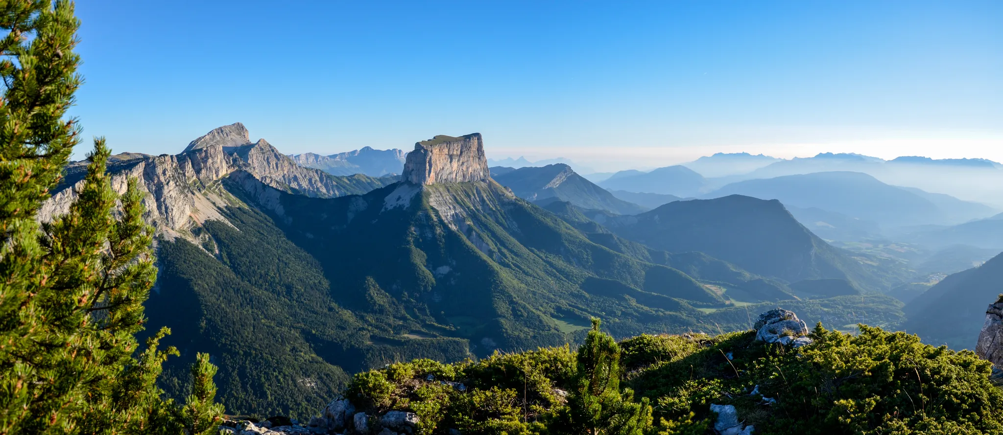
Grand Tour of the Vercors – first section
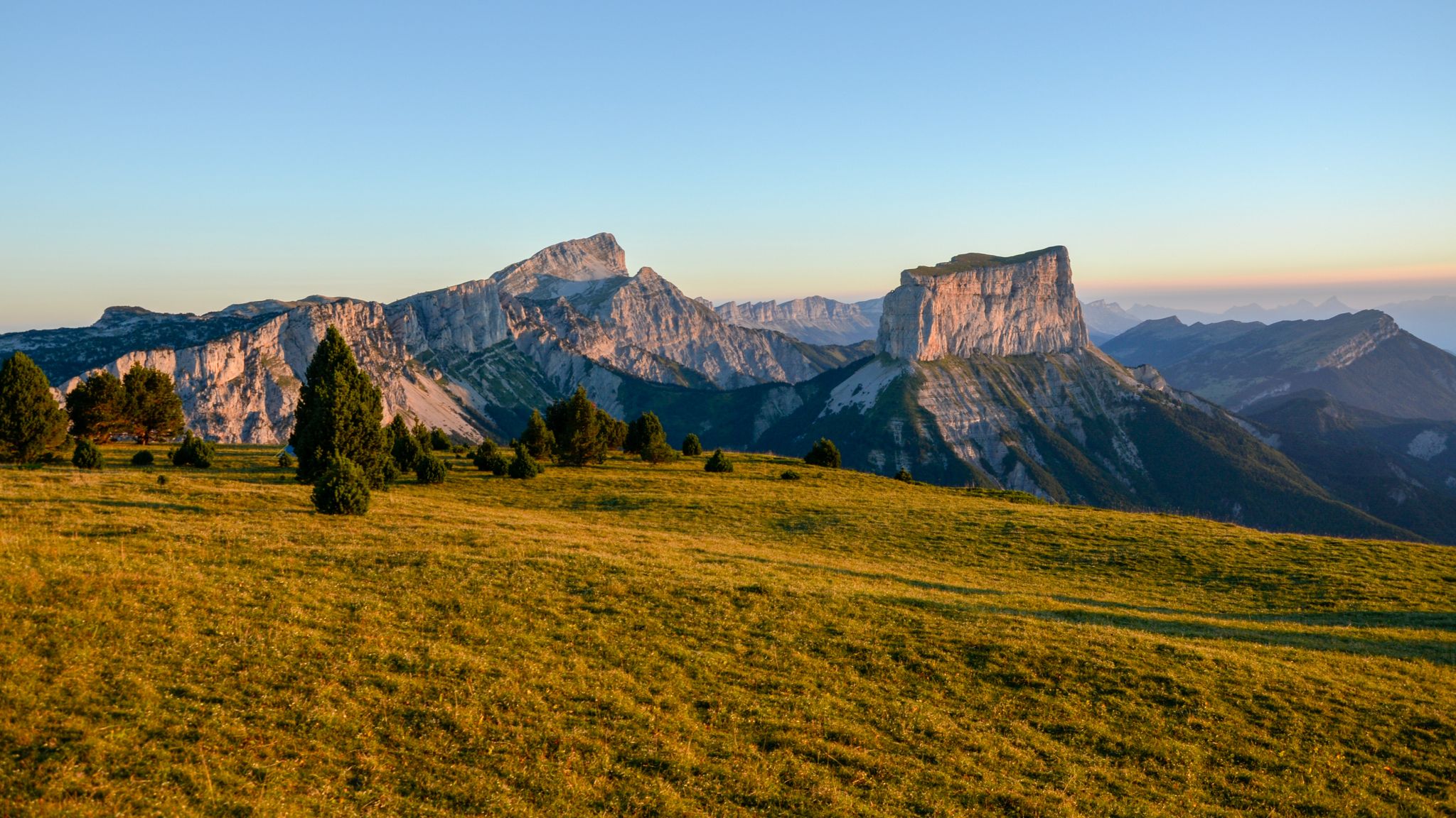
The cradle of mountaineering – Vercors Trièves' mountains

France — two weeks of hiking at its best!
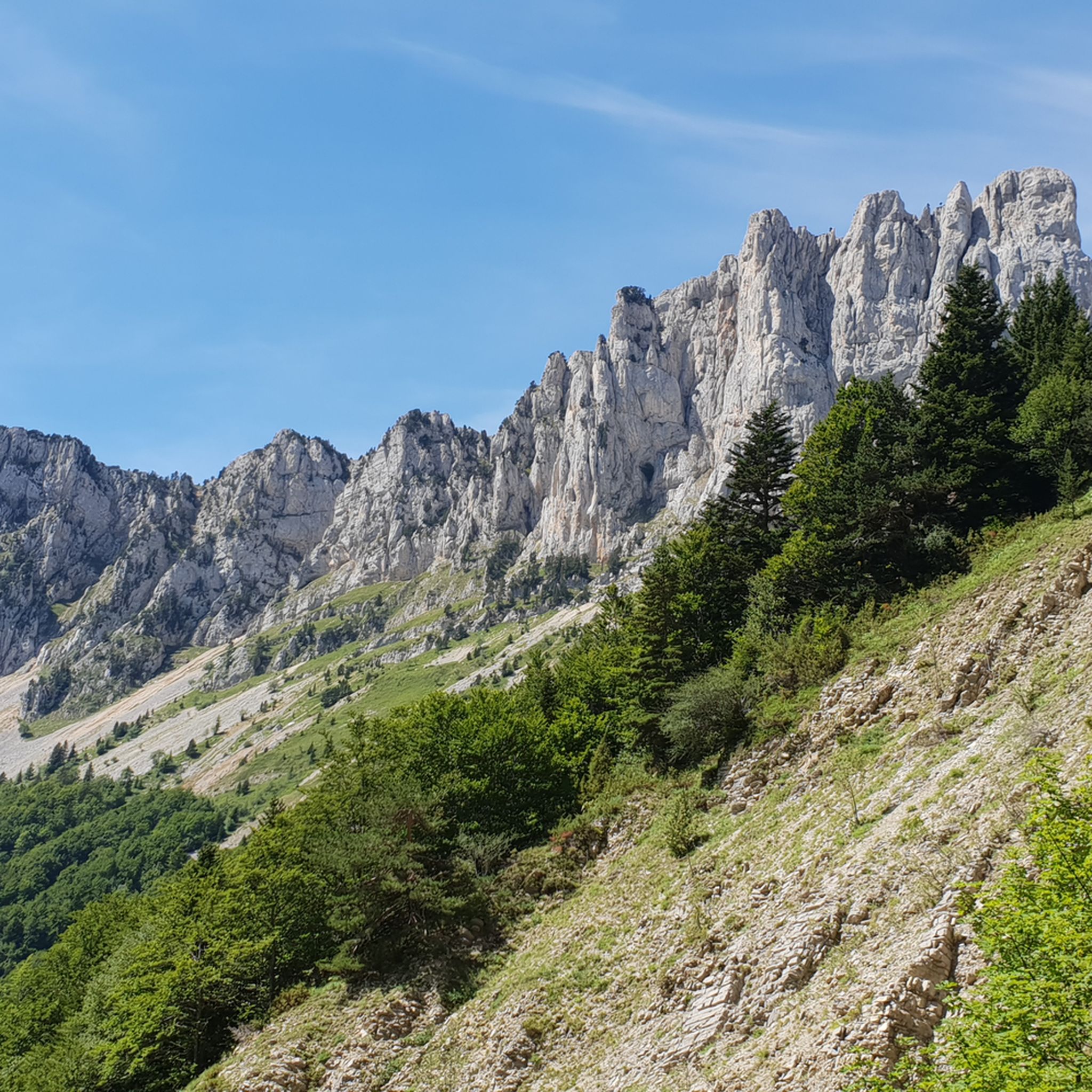
Hiking around Chichilianne
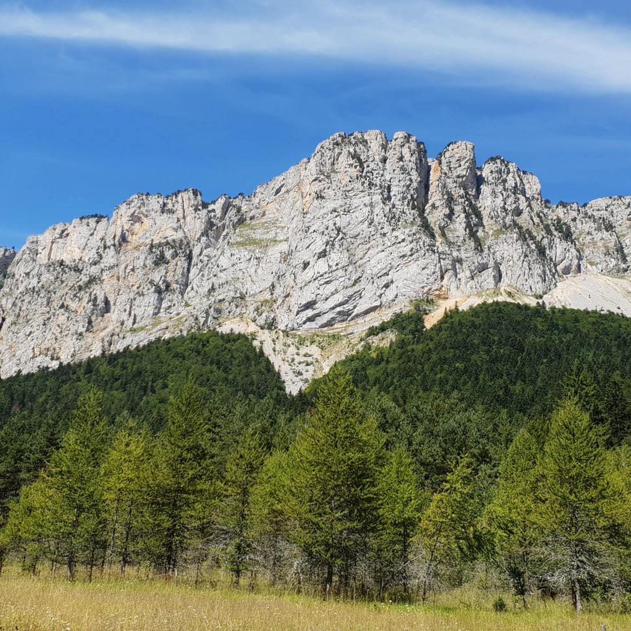
Road Cycling Routes around Chichilianne
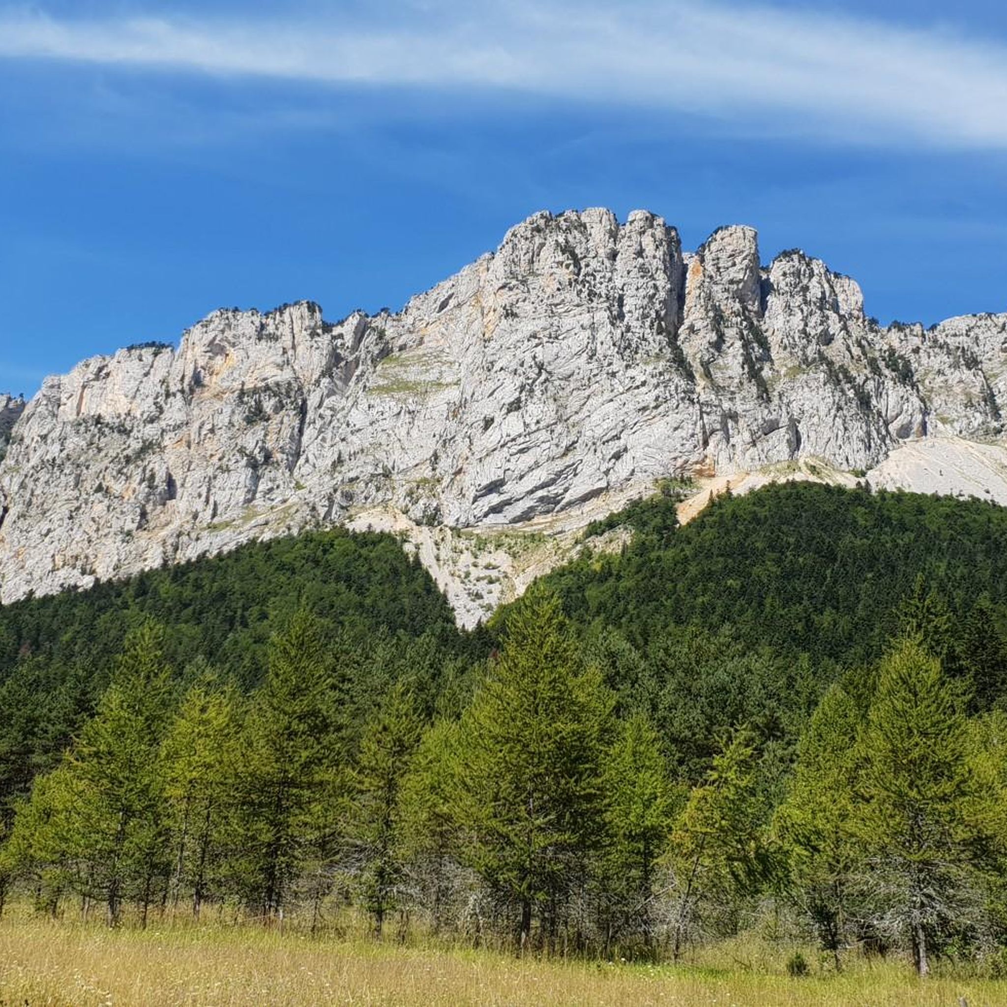
MTB Trails around Chichilianne
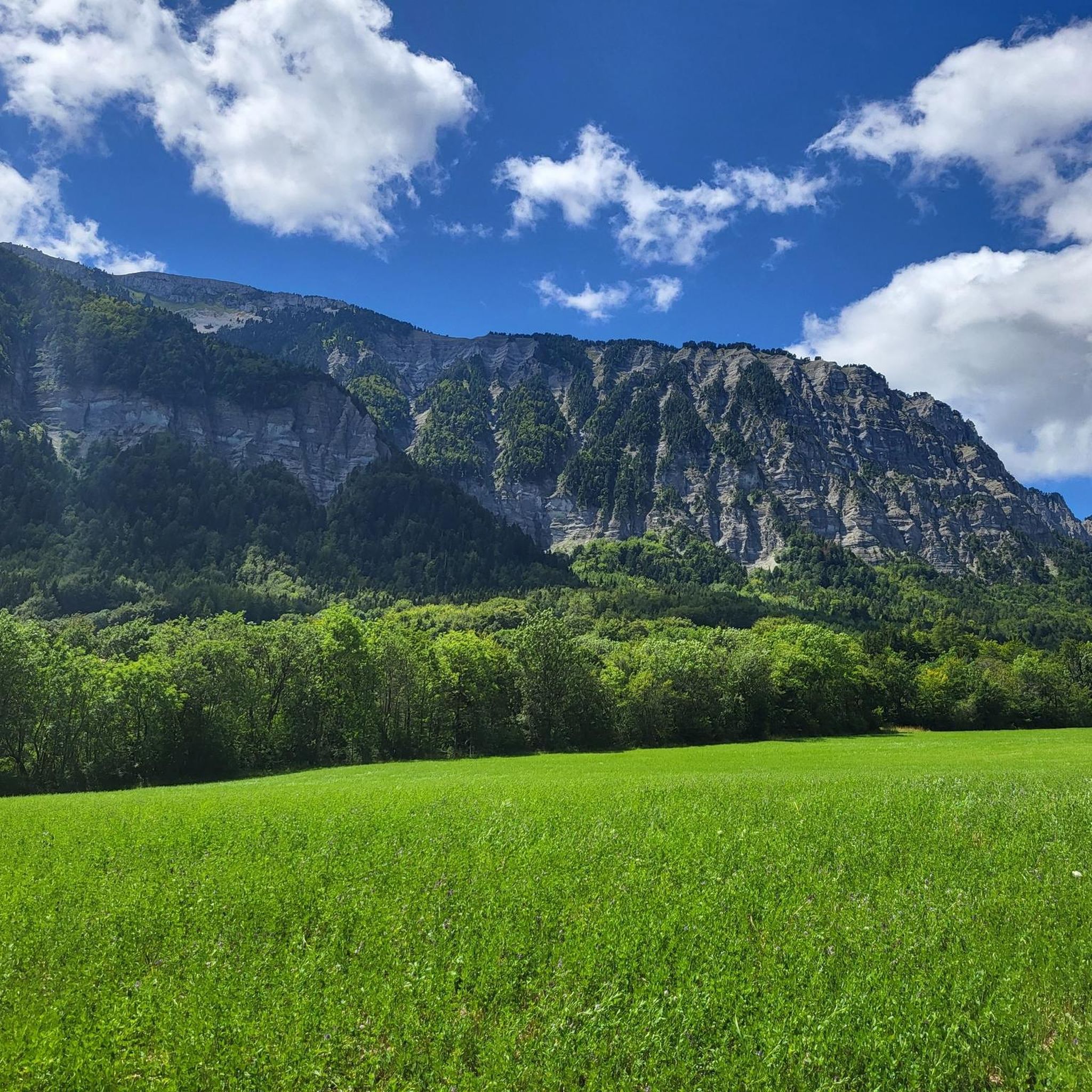
Running Trails around Chichilianne
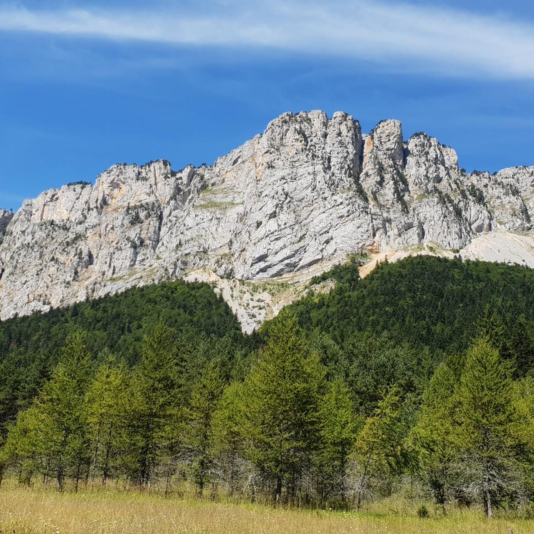
Cycling around Chichilianne

Gravel biking around Chichilianne


Tips from the Community

The old Roman road (Ancienne voie romaine) is located in the French Vercors Regional Natural Park, not far from the Col de Rousset in the Drôme department. The historic path was carved in places directly into the steep limestone cliffs and runs along narrow rock ledges, some of which are secured by stone walls. It once served as a transport link between the Diois and the Vercors plateau. It was particularly important for mule caravans and herds of livestock that reached the high-altitude summer pastures via the Col de Chironne. The elaborate construction bears witness to the early efforts to economically develop the difficult-to-access mountain range.
1
0

From here, a wide and evocative view opens up over the surrounding landscape, with valleys, mountains, and small villages that follow one another on the horizon.
11
0

Breathtaking view, you never get tired of it!
0
0
Stunning view and perfectly marked trail. Remember to bring water, there are no springs on the plateau.
0
0

Bring enough water... only one water source on the loop.
0
0

As pretty at the top as at the bottom, lots of ways to get to the top, accessible for all levels (not technical but lots of elevation gain depending on your starting point) but it's worth it!
1
0
Great view! And those on all sides, some areas where it is easier to get your hands on (over 100 meters) but nothing insurmountable! No dangerous areas!
0
0

Frequently Asked Questions
How many mountaineering routes can I find around Chichilianne?
The Chichilianne area offers a diverse selection of mountaineering routes, with a total of 14 tours available. These range from moderate to difficult ascents within the Vercors Regional Natural Park.
What are the typical difficulty levels for mountaineering routes in this region?
Mountaineering routes around Chichilianne primarily cater to experienced individuals. There are 7 difficult routes and 6 moderate routes, with only 1 easy option available. This reflects the challenging terrain of the Vercors Massif.
Are there any circular mountaineering routes available?
Yes, many of the mountaineering routes in Chichilianne are circular. For example, you can explore the challenging Selle Pass loop from Richardière or the longer Bachassons Pass loop from Gresse-en-Vercors, both offering extensive circuits through the landscape.
What natural features and landmarks can I expect to see while mountaineering near Chichilianne?
The region is dominated by the iconic Mont Aiguille, a spectacular mountain considered the birthplace of mountaineering. You'll also encounter extensive limestone cliffs and the wild atmosphere of the Vercors Regional Natural Park. Notable natural monuments include Grand Veymont and various mountain passes like Col de l'Allimas and Col des Deux. The area also features impressive gorges such as Gorges des Gâts and Canyon des Erges.
What is the best time of year for mountaineering in Chichilianne?
The Vercors Regional Natural Park offers diverse conditions. While specific data on seasonal mountaineering isn't provided, the region is generally suitable for hiking and mountaineering during warmer months. In winter, the area transforms, offering opportunities for cross-country skiing and snowshoeing, which would imply different conditions for mountaineering.
Are there any family-friendly hiking options in the Chichilianne area?
While many mountaineering routes are challenging, the region around Chichilianne does offer easier trails suitable for families. For instance, the 'Chichilianne Tower' loop is ideal for less strenuous excursions. These trails often provide accessible walking, cycling, or horseback riding opportunities around the village.
What kind of terrain characterizes the mountaineering routes around Chichilianne?
The terrain around Chichilianne is rugged and varied, defined by steep limestone cliffs, high plateaux, and diverse mountain landscapes within the French Prealps. You can expect challenging ascents and descents, typical of the Vercors Massif.
How long do mountaineering routes typically take to complete in Chichilianne?
The duration of mountaineering routes varies significantly based on distance and elevation. For example, the Grand Veymont loop from Gresse-en-Vercors typically takes around 6 hours 39 minutes, while the longer Bachassons Pass loop from Gresse-en-Vercors can take about 10 hours 43 minutes.
Where can I find parking for mountaineering trails near Chichilianne?
Specific parking locations are often associated with trailheads. For routes starting from Gresse-en-Vercors or Richardière, you would typically find designated parking areas. For instance, the Mountaineering loop from Point de Vue du Col du Rousset suggests parking near the Col du Rousset viewpoint.
What do other mountaineers say about the routes in Chichilianne?
The mountaineering routes in Chichilianne are highly regarded by the komoot community, holding an average rating of 4.75 stars from over 8 reviews. More than 50 mountaineers have explored this varied terrain, often praising the extensive views and challenging nature of the trails.
Can you recommend a challenging mountaineering route with panoramic views?
For a challenging route with extensive views across the Vercors Massif, consider the Path with panoramic view – Grand Veymont loop from Gresse-en-Vercors. This difficult 7.5-mile (12.2 km) trail offers rewarding vistas.
Are there any specific passes or summits that are popular among mountaineers?
Yes, several passes and summits are popular. The Selle Pass loop from Richardière and the Bachassons Pass loop from Gresse-en-Vercors are well-known routes that traverse significant mountain passes. Additionally, Grand Veymont is a prominent summit in the area.
What makes Mont Aiguille a significant landmark for mountaineering in Chichilianne?
Mont Aiguille is a truly spectacular and historically significant landmark. Rising to 2,087 meters, its unique, flat-topped profile and steep cliffs make it a distinctive feature of the landscape. It's renowned as the birthplace of mountaineering, with its first recorded ascent in 1492, and continues to attract climbers and mountaineers to its challenging faces and surrounding trails. You can learn more about its history on Wikipedia.
Most popular routes around Chichilianne
Most popular attractions around Chichilianne

Get inspired with the komoot mobile app


Explore more
Browse the best Mountain Hikes & Routes in other regions.
