The best mountain hikes around Labassère
5.0
(2)
29
hikers
2
hikes
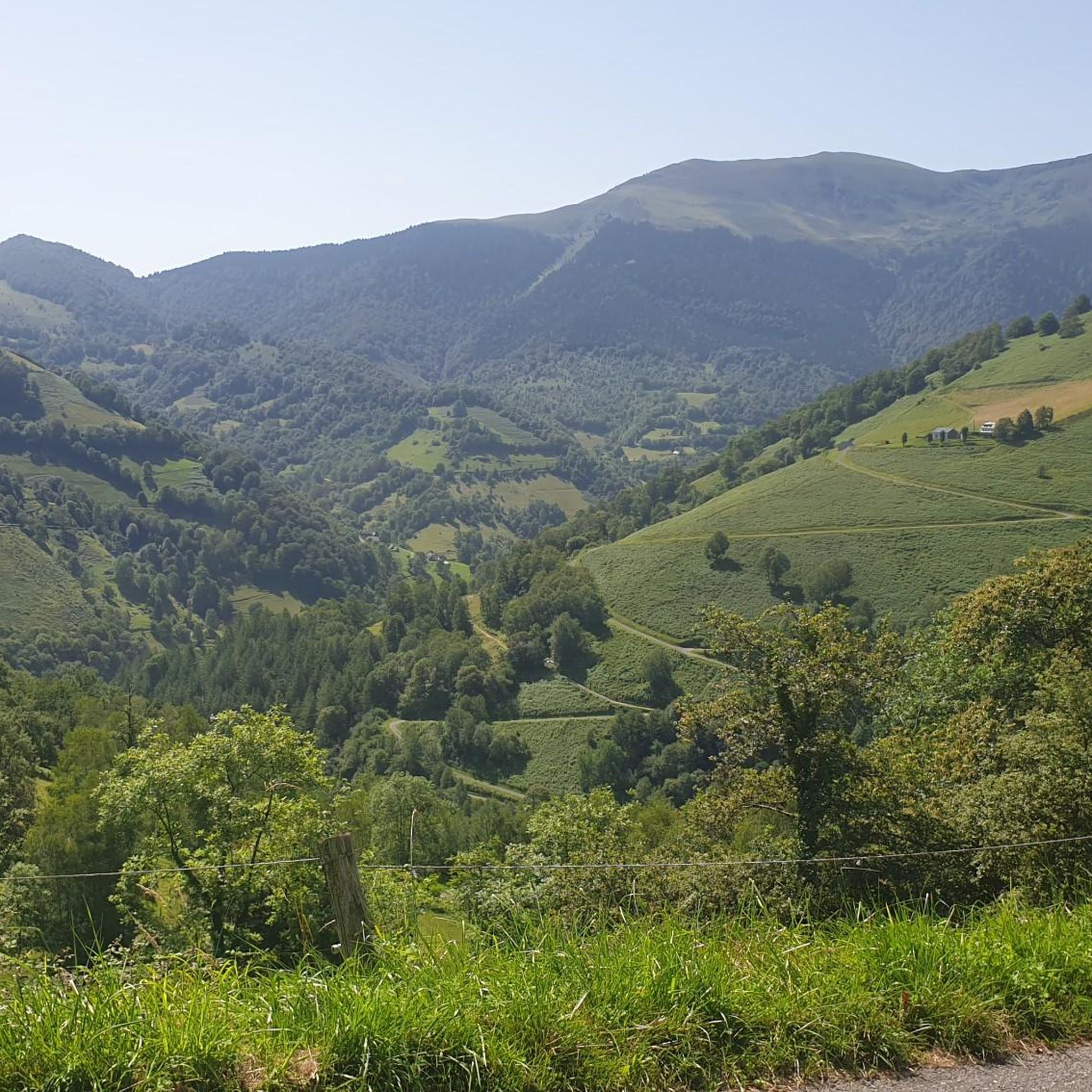
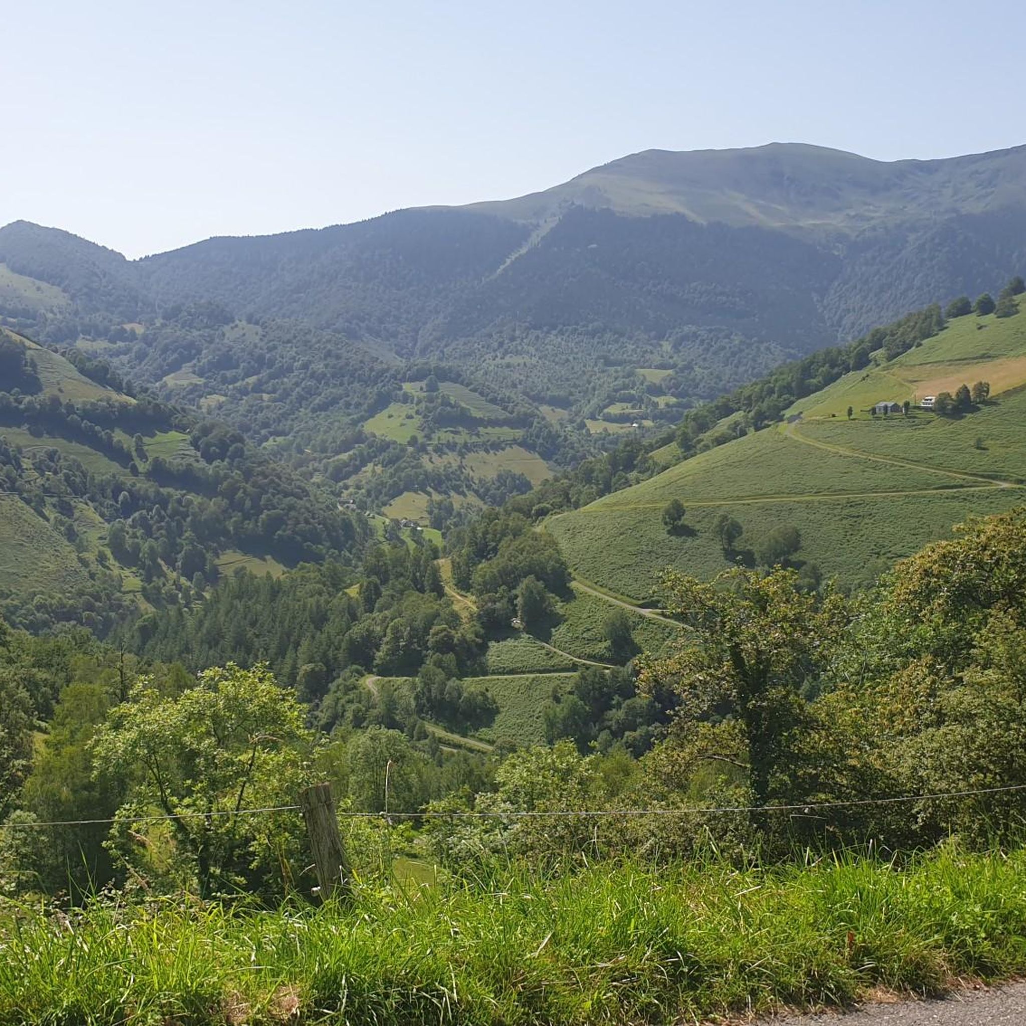
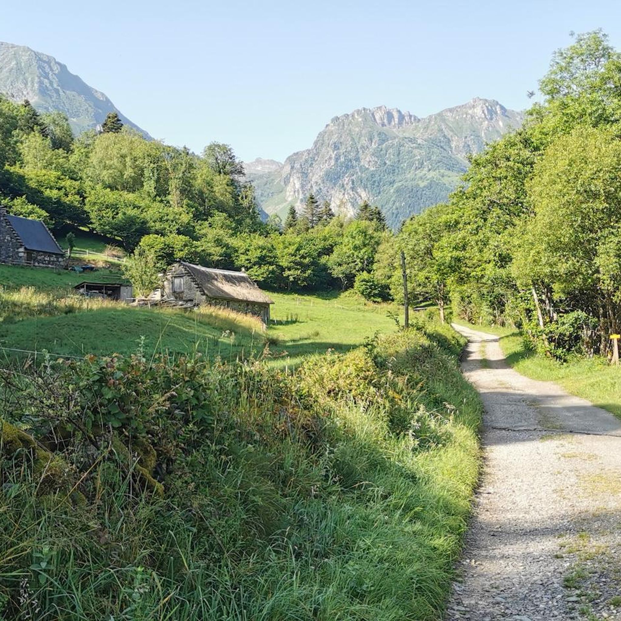
Mountaineering routes around Labassère are set within the Hautes-Pyrénées, characterized by diverse mountainous terrain and dense beech and fir forests. The region features challenging ascents and alpine routes, with the Oussouet River carving through the landscape and creating picturesque waterfalls. Elevated points offer expansive panoramic views of the surrounding mountains and valleys, providing a rewarding experience for mountaineers.
Best mountaineering routes around Labassère
- The most popular mountaineering route is Lac d'Ourrec loop from Le Chiroulet, a 9.5 miles (15.3…
Last updated: July 6, 2026
12
hikers
15.1km
06:02
1,140m
1,140m
Hard mountaineering route. Very good fitness required. Easily-accessible paths. Suitable for all skill levels.
8
hikers
11.4km
03:38
510m
510m
Moderate mountaineering route. Good fitness required. Easily-accessible paths. Suitable for all skill levels.

Sign up for free
5.0
(1)
7
hikers
9.54km
06:17
1,140m
1,140m
Hard mountaineering route. Very good fitness required. Sure-footedness, sturdy shoes and alpine experience required.
5.0
(1)
2
hikers
10.7km
04:55
780m
780m
Moderate mountaineering route. Good fitness required. Mostly accessible paths. Sure-footedness required.
Our route recommendations are based on thousands of hikes, rides, and runs completed by other people on komoot.
Start today with a free account
Your next adventure awaits.
Login or Signup


Tips from the Community

nice relaxing hike (down the mountain) not far from Lourdes
0
0


hike to do in dry weather, with a magnificent view of the Pic du Jer at the summit
0
0


The Jer peak peaks at 948 meters, overlooking the emblematic city of Lourdes. Also accessible by funicular, it offers a superb view of the city and its valley.
1
0
The Col de Bareilles peaks at 2,238 meters above sea level. This passage offers a superb view of the Lac Bleu below as well as of the Pic du Midi de Bigorre.
0
0
The Col de Bareilles peaks at 2,238 meters above sea level. This passage offers a superb view of the Lac Bleu below as well as the Pic du Midi de Bigorre.
1
0
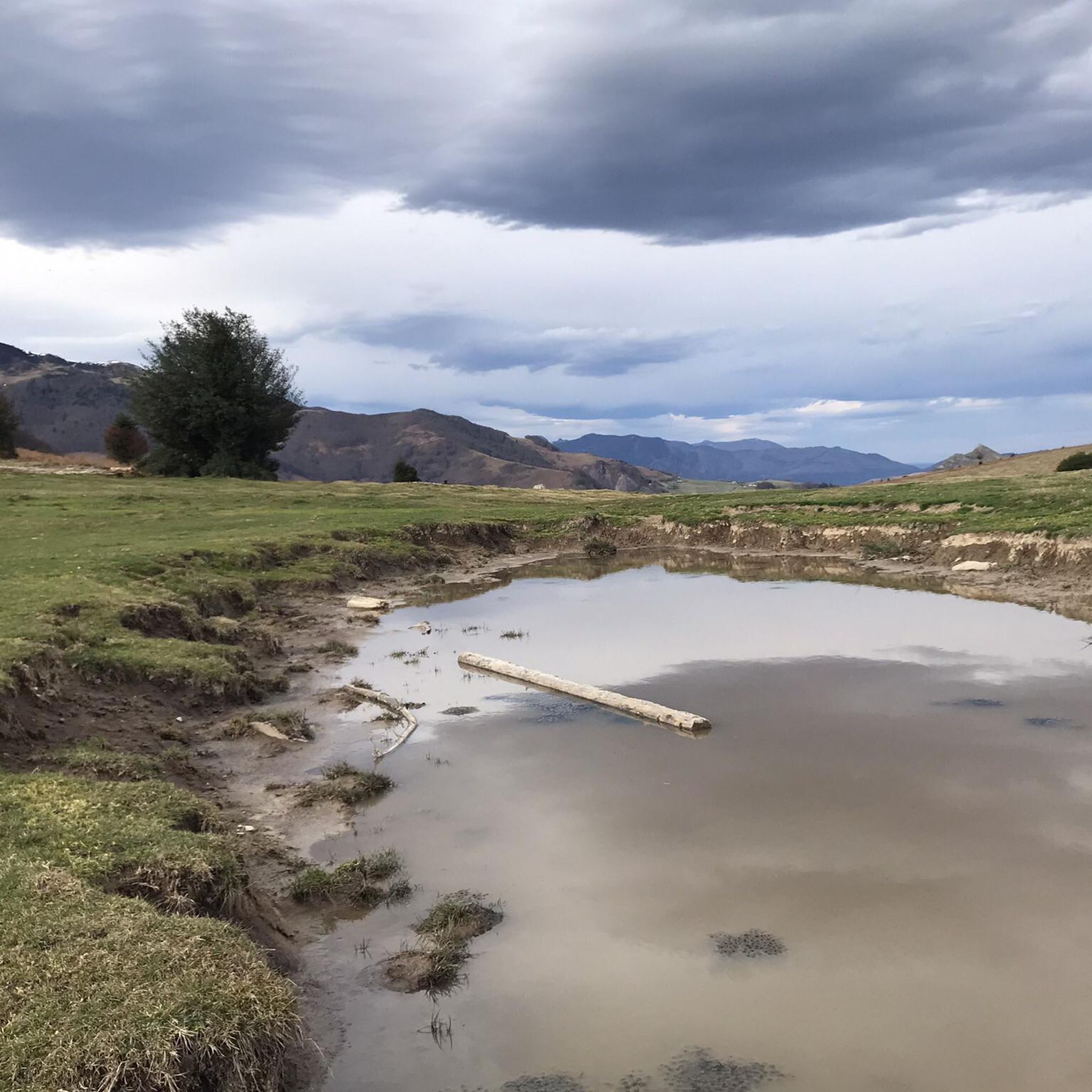
Lake Ourrec is a small high altitude lake in the Pyrenees located at 1,667 meters above sea level. It is nestled in the intimacy of the Lesponne valley, its banks bordered by meadows offer an idyllic setting for a break.
0
0
Frequently Asked Questions
What kind of terrain can I expect on mountaineering routes around Labassère?
Mountaineering routes in the Labassère area feature diverse mountainous terrain, including dense beech and fir forests, open mountain trails, and challenging ascents. You'll encounter varied landscapes, from shaded forest paths to exposed alpine sections, characteristic of the Hautes-Pyrénées.
Are there any waterfalls or rivers to see along the routes?
Yes, the Oussouet River carves through the terrain around Labassère, featuring picturesque waterfalls that add to the natural beauty of the area. Some routes will take you past these scenic spots.
What are the typical views like from the mountaineering routes?
Elevated points along the routes, such as those found on the Lac de Montaigu – Pic de Montaigu loop from La Peyre, offer expansive panoramic views. You can expect breathtaking vistas of the surrounding mountains, the Val d'Adour, and the Tarbes plain, especially after challenging ascents.
Are there any moderate mountaineering routes suitable for those with less experience?
Yes, while many routes are challenging, there are options for different ability levels. For example, the Pic du Jer Mountain Biking – Pic du Jer loop from Lourdes is rated as moderate, offering a less strenuous but still rewarding experience.
What is the longest mountaineering route available in Labassère?
The longest mountaineering route listed is the Lac d'Ourrec loop from Le Chiroulet, which spans approximately 15.3 kilometers (9.5 miles) and involves significant elevation gain.
Are there any circular mountaineering routes in the area?
Yes, several routes are designed as loops, allowing you to start and end at the same point. Examples include the Lac d'Ourrec loop from Le Chiroulet, the Lac de Montaigu – Pic de Montaigu loop from La Peyre, and the Pic de l'Oussouet – Col de Culentous loop from La Peyre.
What do other mountaineers say about the routes in Labassère?
The mountaineering routes around Labassère are highly rated by the komoot community, with an average score of 5.0 stars. Users often praise the challenging ascents, rewarding panoramic views, and the varied terrain that includes dense forests and open mountain passes.
Are there any notable landmarks or attractions near the mountaineering routes?
Yes, the region offers several points of interest. You might consider visiting Bagnères-de-Bigorre, known for its thermal springs, or exploring the area around Lake Ourrec. The Pic du Jer Funicular also offers an alternative way to experience elevated views.
What is the elevation gain like on the more difficult routes?
The more difficult routes around Labassère feature significant elevation gains. For instance, both the Lac d'Ourrec loop from Le Chiroulet and the Lac de Montaigu – Pic de Montaigu loop from La Peyre involve over 1100 meters (3600 feet) of ascent.
How many mountaineers have explored Labassère using komoot?
Over 30 mountaineers have used komoot to explore the varied terrain and challenging routes around Labassère, contributing to the community's high ratings for the area.
Are there any routes that combine forest paths with open mountain passes?
Absolutely. The Pic de l'Oussouet – Col de Culentous loop from La Peyre is a great example, leading you through both forested slopes and open mountain passes, offering a diverse experience.
Most popular routes around Labassère
Most popular attractions around Labassère

Get inspired with the komoot mobile app


Explore more
Browse the best Mountain Hikes & Routes in other regions.
