
The best running trails around Cherbonnières
3.5
(2)
59
runners
14
runs
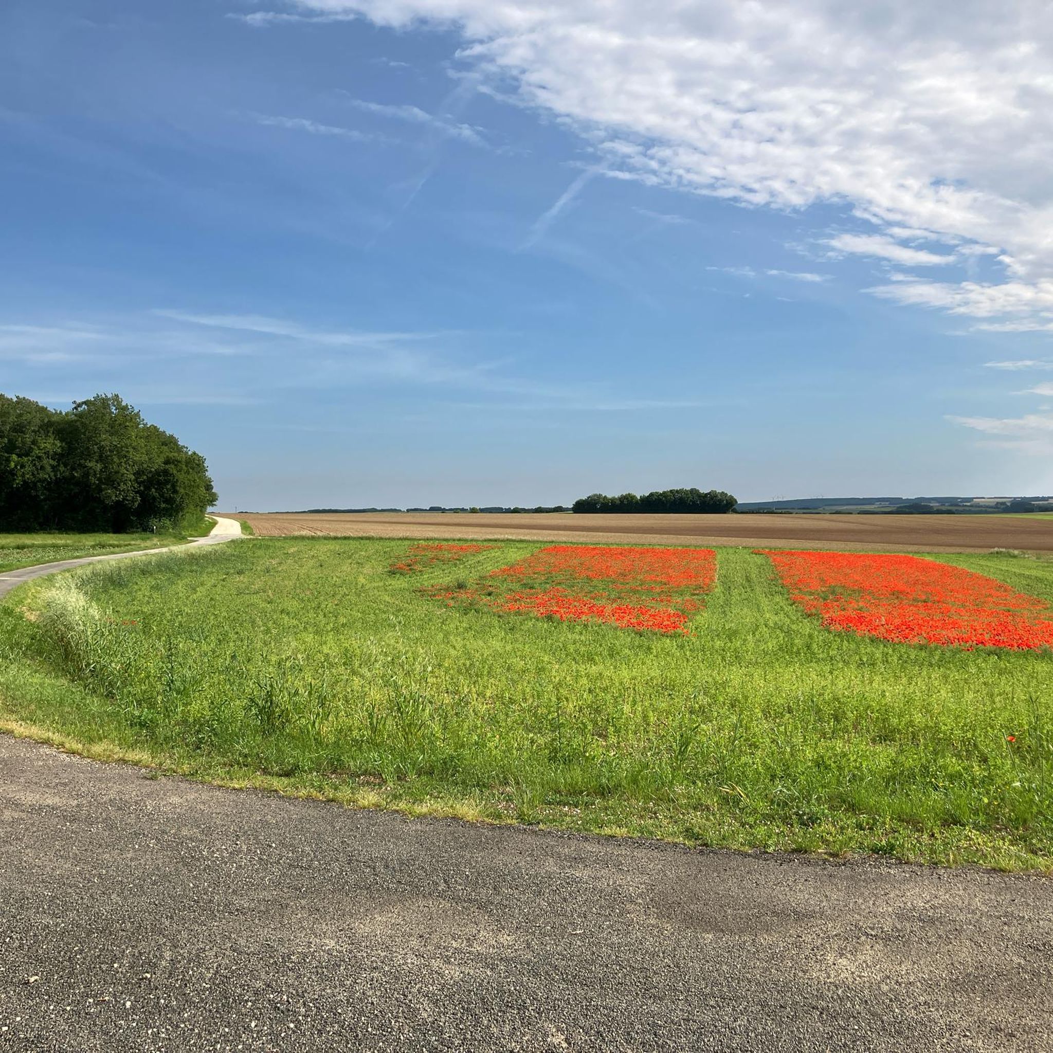
Jogging around Cherbonnières offers a network of routes through a landscape characterized by gentle rolling terrain and wooded areas. The region features relatively low elevation changes, making it suitable for various running preferences. The trails often traverse the local countryside, providing opportunities for consistent running.
Best jogging routes around Cherbonnières
- The most popular jogging route is Bois de Vervant loop from Saint-Jean-d'Angély, a 7.8 miles (12.5 km) trail that takes 1 hour 18 minutes to complete, often passing through…
Last updated: July 6, 2026
2.0
(1)
9
runners
12.5km
01:18
40m
40m
Moderate run. Good fitness required. Mostly paved surfaces. Suitable for all skill levels.
7
runners
8.13km
00:50
30m
30m
Moderate run. Good fitness required. Mostly paved surfaces. Suitable for all skill levels.

Sign up for free
4
runners
6.85km
00:43
30m
30m
Moderate run. Good fitness required. Mostly paved surfaces. Suitable for all skill levels.
5.0
(1)
4
runners
5.85km
00:38
50m
50m
Moderate run. Good fitness required. Mostly paved surfaces. Suitable for all skill levels.
4
runners
5.63km
00:35
20m
20m
Moderate run. Good fitness required. Mostly paved surfaces. Suitable for all skill levels.
Get access to more routes and recommendations from other explorers.
Sign up for free
Already have an account?
Our route recommendations are based on thousands of hikes, rides, and runs completed by other people on komoot.
Start today with a free account
Your next adventure awaits.
Login or Signup

Frequently Asked Questions
How many running routes are available in Cherbonnières?
There are over 10 dedicated running routes in the Cherbonnières area, offering a variety of options for different preferences and fitness levels.
Are there easy running routes suitable for beginners in Cherbonnières?
Yes, Cherbonnières offers several routes suitable for beginners. The region is characterized by gentle rolling terrain and relatively low elevation changes, making it ideal for those new to running or looking for a less strenuous experience. While most routes are rated moderate, they are generally accessible.
What are the typical distances and elevation changes for running routes in Cherbonnières?
Running routes in Cherbonnières typically range from around 3.5 miles (5.6 km) to 7.8 miles (12.5 km). The elevation changes are generally mild, with most routes featuring less than 50 meters of ascent and descent, making them suitable for consistent running without significant climbs.
Is parking available near the running trails in Cherbonnières?
While specific parking details vary by starting point, most rural routes in Cherbonnières, especially those starting from villages like Saint-Jean-d'Angély or Saint-Pardoult, offer roadside parking or small village car parks nearby. It's advisable to check the route details on komoot for specific starting locations.
Can I access running routes in Cherbonnières using public transport?
Public transport options in rural areas like Cherbonnières can be limited. While some larger towns nearby might have bus services, direct access to trailheads often requires a car. For routes starting from villages, checking local bus schedules for connections from larger hubs like Saint-Jean-d'Angély is recommended, though not always practical for direct trailhead access.
Are dogs allowed on the running routes in Cherbonnières?
Generally, dogs are welcome on trails in rural France, provided they are kept under control, especially when passing through agricultural land or near livestock. Always ensure your dog is on a leash where required and respect local signage regarding pet access.
When is the best time of year to go running in Cherbonnières?
The best time for running in Cherbonnières is typically during spring (April-June) and autumn (September-October). During these seasons, the weather is mild, and the natural scenery, with its wooded areas and open fields, is particularly pleasant. Summers can be warm, while winters are generally mild but can be damp.
Are there family-friendly jogging paths in Cherbonnières?
Many of the running paths in Cherbonnières, with their gentle terrain and moderate distances, are suitable for families looking to jog together. Routes like the Running loop from La Brousse offer manageable distances through pleasant rural landscapes.
What do other runners enjoy the most about jogging in Cherbonnières?
The running routes in Cherbonnières are highly rated by the komoot community, with an average score of 3.5 stars. Runners often praise the tranquil rural landscapes, the gentle rolling terrain that makes for consistent running, and the opportunities to explore local woodlands and open fields.
Are there any circular running routes in Cherbonnières?
Yes, many of the popular running routes in Cherbonnières are circular, allowing you to start and finish at the same point. Examples include the Bois de Vervant loop from Saint-Jean-d'Angély, which takes you through local woodlands, and the Running loop from Saint-Pardoult.
Are there less crowded running routes in Cherbonnières?
Given the rural nature of Cherbonnières, most running routes tend to be less crowded than those in more urbanized areas. For a quieter experience, consider routes that start from smaller hamlets or explore lesser-known paths away from the main villages. The Running loop from Ferrières offers a peaceful journey through the countryside.
What are the conditions like for running in Cherbonnières during winter?
Winters in Cherbonnières are generally mild, but trails can become muddy and slippery, especially after rain. While snow is infrequent, it's advisable to wear appropriate waterproof footwear and layers. The wooded sections can offer some shelter from wind, but open fields will be more exposed.

Get inspired with the komoot mobile app


Explore more
Browse the best Running Trails & Routes in other regions.
