
The best running trails around Saint-Ciers-Du-Taillon
4.6
(9)
112
runners
24
runs
Jogging routes around Saint-Ciers-Du-Taillon traverse a landscape characterized by vineyards, agricultural fields, and small wooded areas. The region's gentle topography offers a mix of open, relatively flat paths and shaded sections. This blend provides varied and scenic running experiences. The terrain is generally mild, with slight inclines found further inland, suitable for different fitness levels.
Best jogging routes around Saint-Ciers-Du-Taillon
- The most popular jogging route is Running loop from Les Gatines, a 4.8 miles (7.8 km) trail that takes…
Last updated: July 6, 2026
4.7
(3)
14
runners
7.76km
00:48
30m
30m
Moderate run. Good fitness required. Mostly paved surfaces. Suitable for all skill levels.
4.7
(3)
13
runners
8.47km
00:52
40m
40m
Moderate run. Good fitness required. Mostly paved surfaces. Suitable for all skill levels.

Sign up for free
4.0
(2)
5
runners
5.73km
00:36
30m
30m
Moderate run. Good fitness required. Mostly paved surfaces. Suitable for all skill levels.
4
runners
5.91km
00:37
70m
70m
Moderate run. Good fitness required. Mostly paved surfaces. Suitable for all skill levels.
3
runners
8.94km
01:00
80m
80m
Moderate run. Good fitness required. Mostly paved surfaces. Suitable for all skill levels.
Get access to more routes and recommendations from other explorers.
Sign up for free
Already have an account?
Our route recommendations are based on thousands of hikes, rides, and runs completed by other people on komoot.
Start today with a free account
Your next adventure awaits.
Login or Signup


Frequently Asked Questions
How many running routes are available in Saint-Ciers-Du-Taillon?
There are over 20 running routes around Saint-Ciers-Du-Taillon, offering a variety of experiences for different fitness levels. These routes are highly rated by the komoot community.
Are there easy running paths for beginners in Saint-Ciers-Du-Taillon?
Yes, Saint-Ciers-Du-Taillon offers several easy running paths suitable for beginners. The region's gentle topography, characterized by relatively flat vineyards and agricultural fields, provides an ideal setting for less strenuous jogs. You can find 3 easy routes to start with.
What kind of scenery can I expect on jogging routes around Saint-Ciers-Du-Taillon?
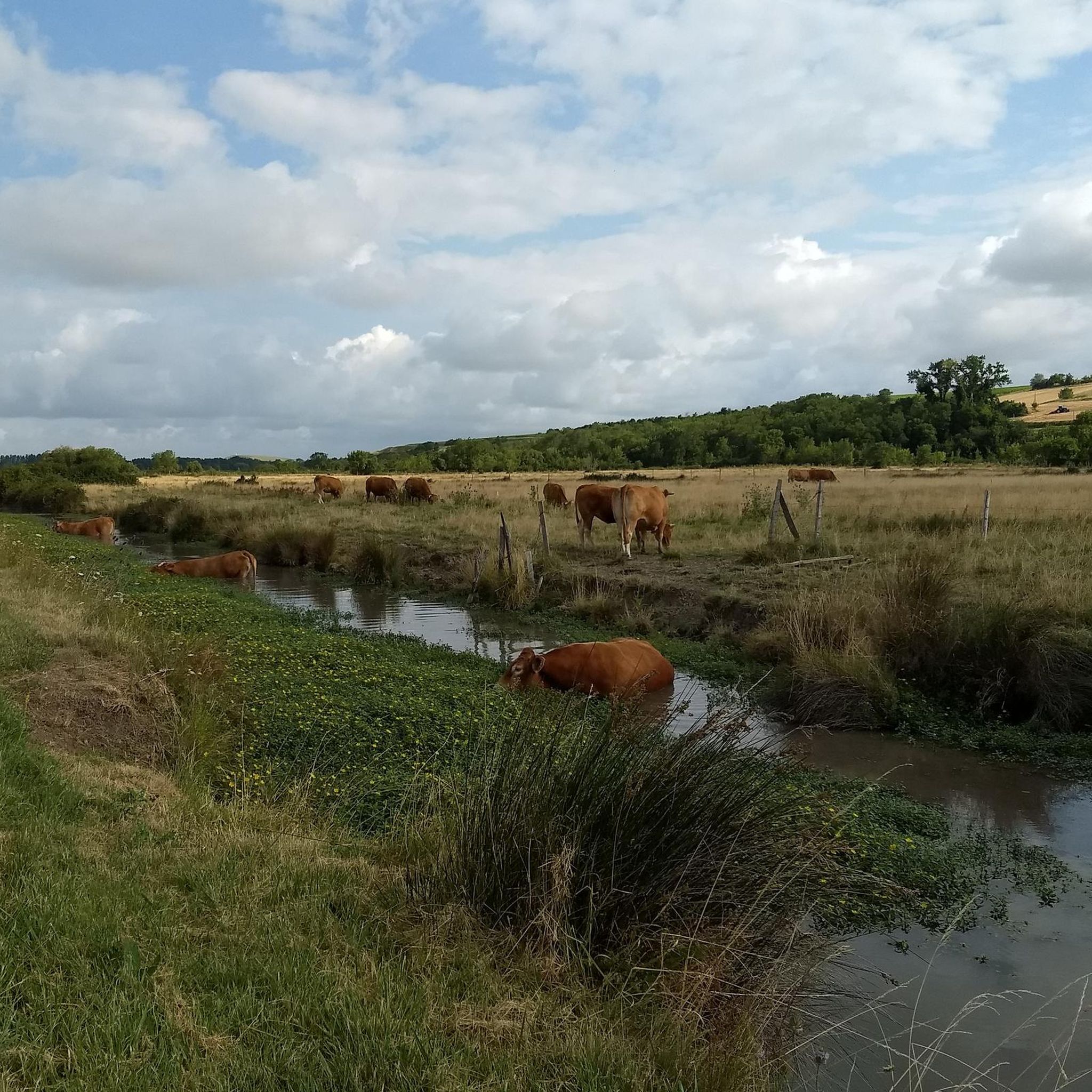
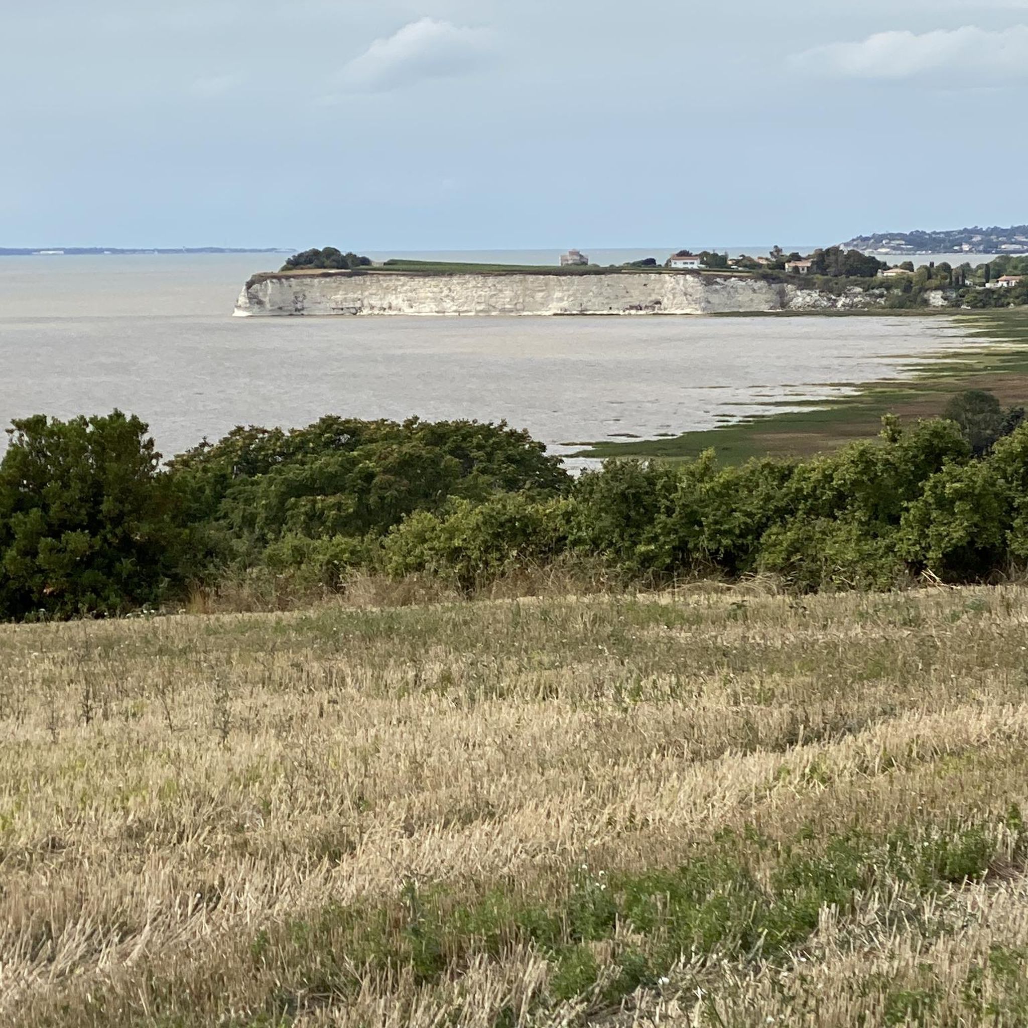
Jogging routes in Saint-Ciers-Du-Taillon traverse a charming landscape of extensive vineyards, agricultural fields, and small wooded areas. You'll enjoy open views across cultivated lands and find shaded sections within the woods, providing a diverse and visually appealing experience.
Are there many circular jogging routes in the area?
Yes, many of the running routes around Saint-Ciers-Du-Taillon are designed as loops, allowing you to start and finish at the same point. For example, the Running loop from Lorignac is a popular moderate option.
What do other runners enjoy most about jogging in Saint-Ciers-Du-Taillon?
The running routes in Saint-Ciers-Du-Taillon are highly rated by the komoot community, with an average score of 4.6 stars from over 9 reviews. Runners often praise the serene environment, the blend of open vineyard views with shaded wooded sections, and the gentle terrain suitable for various abilities.
Are there any longer running routes for more experienced joggers?
Absolutely. For those looking for a longer challenge, the Running loop from Nieul-le-Virouil is a moderate 7.2 miles (11.6 km) trail that takes about 1 hour 12 minutes to complete, winding through agricultural fields and wooded sections.
Can I bring my dog on the running trails in Saint-Ciers-Du-Taillon?
Many of the outdoor paths and trails in rural areas like Saint-Ciers-Du-Taillon are generally dog-friendly, especially those through vineyards and agricultural fields. However, it's always advisable to keep your dog on a leash, particularly near cultivated areas or livestock, and to check local regulations for specific routes.
Are there any interesting landmarks or attractions to see near the jogging routes?
While Saint-Ciers-Du-Taillon is primarily rural, its surroundings offer points of interest. You might find historical architecture in nearby towns like Pons or Jonzac. For specific attractions, consider visiting Port Maubert or the Saint Paul Chapel, which could be incorporated into longer excursions.
What is the best time of year for jogging in Saint-Ciers-Du-Taillon?
The best time for jogging in Saint-Ciers-Du-Taillon is generally during spring and autumn when the weather is mild and pleasant. Spring brings blooming vineyards, while autumn offers beautiful colors. Summer can be warm, so early morning or late afternoon runs are recommended. Winter runs are also possible, though some paths might be muddier after rain.
Are there any running routes that offer a mix of open views and shaded sections?
Yes, many routes in the area provide this blend. For instance, the Le Grand Bois du Pin loop from Bribaudon offers a moderate 3.2-mile (5.1 km) path that takes you through both open countryside and wooded areas, providing a refreshing change of scenery and some shade.
What is the typical elevation gain on running routes in Saint-Ciers-Du-Taillon?
The topography around Saint-Ciers-Du-Taillon is generally gentle. Most running routes feature relatively low elevation gains, making them accessible. For example, the Running loop from Saint-Ciers-du-Taillon has an elevation gain of around 36 meters over its 5.3 miles, offering a moderate challenge without steep climbs.
Most popular routes around Saint-Ciers-Du-Taillon
Most popular attractions around Saint-Ciers-Du-Taillon

Get inspired with the komoot mobile app


Explore more
Browse the best Running Trails & Routes in other regions.
