The best walks and hikes around Forges-La-Forêt
4.0
(54)
260
hikers
17
hikes
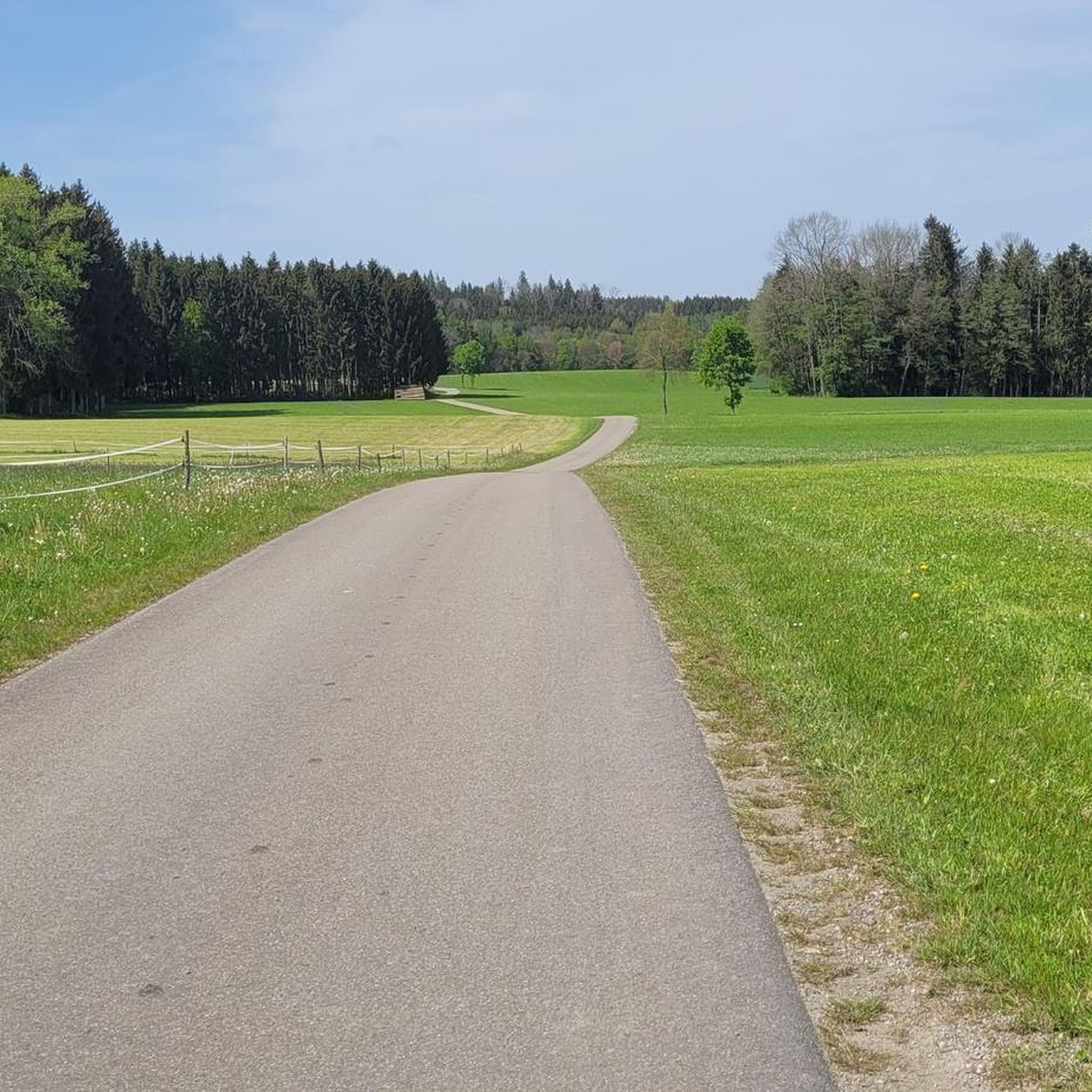
Hiking trails around Forges-La-Forêt are characterized by a gently undulating landscape, featuring a mix of woodlands, open fields, and tranquil waterscapes. The region's terrain typically includes low elevation gains, making it suitable for various hiking abilities. Paths often follow the contours of the land, providing access to natural areas and local points of interest.
Best hiking trails around Forges-La-Forêt
- The most popular hiking route is Étang de la Forge – L'étang de la Forge loop from Martigné-Ferchaud, a 7.2…
Last updated: July 6, 2026
4.5
(12)
110
hikers
Moderate hike. Good fitness required. Easily-accessible paths. Suitable for all skill levels.
3.0
(2)
21
hikers
11.6km
03:03
100m
100m
Moderate hike. Good fitness required. Easily-accessible paths. Suitable for all skill levels.

Sign up for free
8
hikers
11.1km
02:52
60m
60m
Moderate hike. Good fitness required. Easily-accessible paths. Suitable for all skill levels.
5.0
(1)
6
hikers
20.8km
05:23
120m
120m
Hard hike. Very good fitness required. Easily-accessible paths. Suitable for all skill levels.
8
hikers
15.0km
03:52
70m
70m
Moderate hike. Good fitness required. Easily-accessible paths. Suitable for all skill levels.
Get access to more routes and recommendations from other explorers.
Sign up for free
Already have an account?
Our route recommendations are based on thousands of hikes, rides, and runs completed by other people on komoot.
Start today with a free account
Your next adventure awaits.
Login or Signup



Tips from the Community

The construction of this church began in the 10th century. In the 11th century a large fire destroyed a large part of the church, but later the church was rebuilt. It was rebuilt in the 16th and 17th centuries, possibly thanks to the generosity of the Dukes of Brissac. It has been a historic monument since 1974. There are statues of gargoyles on the facade which are quite remarkable. For mass it is the 1st Saturday of the month at 6:00 p.m.
0
0
Frequently Asked Questions
What is the general terrain like for hiking around Forges-La-Forêt?
The hiking trails around Forges-La-Forêt are characterized by a gently undulating landscape. You'll find a mix of woodlands, open fields, and tranquil waterscapes, particularly around the lakes. The region typically features low elevation gains, making it suitable for various hiking abilities.
Are there many easy hiking trails suitable for beginners or families in Forges-La-Forêt?
Yes, Forges-La-Forêt offers several easy hiking trails. Out of the 11 available routes, 3 are classified as easy, making them ideal for beginners, families, or those seeking a more relaxed walk. These trails often feature gentle paths through the scenic countryside.
Can I find circular hiking routes in the Forges-La-Forêt area?
Absolutely. Many of the trails around Forges-La-Forêt are designed as loops, offering convenient circular routes. For example, the Étang de la Forge – L'étang de la Forge loop from Martigné-Ferchaud is a popular circular option that takes you around the lake.
What kind of distances and durations can I expect from hikes in this region?
Hikes in Forges-La-Forêt vary in length, but many popular routes are around 7 to 9 miles (11-15 km) and can take between 2.5 to 4 hours to complete. For instance, the Rigaudière loop from Retiers is about 7.2 miles (11.6 km) long.
What do other hikers say about the trails in Forges-La-Forêt?
The routes in Forges-La-Forêt are highly rated by the komoot community, with an average score of 4.0 stars from over 40 reviews. Hikers often praise the peaceful atmosphere, the varied landscapes of forests and lakes, and the well-maintained paths that make for an enjoyable experience.
Are there any interesting landmarks or attractions to see near the hiking trails?
Yes, the region boasts several points of interest. You can explore historical sites like the La Roche-aux-Fées Dolmen, a significant megalithic monument. Other notable attractions include the charming settlement of La Guerche-de-Bretagne and the Martigné Ferchaud church.
Is Forges-La-Forêt a good destination for dog-friendly hiking?
While specific regulations can vary, many trails in rural areas like Forges-La-Forêt are generally dog-friendly, especially if your dog is kept on a leash. The mix of woodlands and open paths provides a pleasant environment for walks with your canine companion. Always check local signage for any restrictions.
When is the best time of year to go hiking in Forges-La-Forêt?
The best time to hike in Forges-La-Forêt is typically from spring to autumn (April to October). During these months, the weather is generally mild and pleasant, with blooming wildflowers in spring and vibrant foliage in autumn. Summer offers longer daylight hours, perfect for extended walks.
Are there any longer or more challenging hikes available for experienced hikers?
Yes, for those seeking a greater challenge, there are a couple of more difficult routes. For example, the Étang de Saint-Morand – Étang de la Forge loop from Martigné-Ferchaud is a longer, more demanding trail, covering over 12 miles (20 km) with more significant elevation changes.
What should I pack for a hike in Forges-La-Forêt?
Given the varied terrain and potential for changing weather, it's advisable to pack layers of clothing, sturdy hiking shoes, and sufficient water and snacks. A map or GPS device is also recommended, along with sun protection. Depending on the season, a light rain jacket could be useful.
Are there opportunities for wild swimming near the hiking trails?
The region features several tranquil waterscapes, including the Étang de la Forge. While specific designated wild swimming spots are not always marked, the presence of lakes suggests potential opportunities for a refreshing dip after a hike. Always exercise caution and check for local regulations regarding swimming.
Most popular attractions around Forges-La-Forêt

Get inspired with the komoot mobile app


Explore more
Browse the best Hikes in other regions.
