The best running trails around Gurgy-Le-Château
22
runners
7
runs
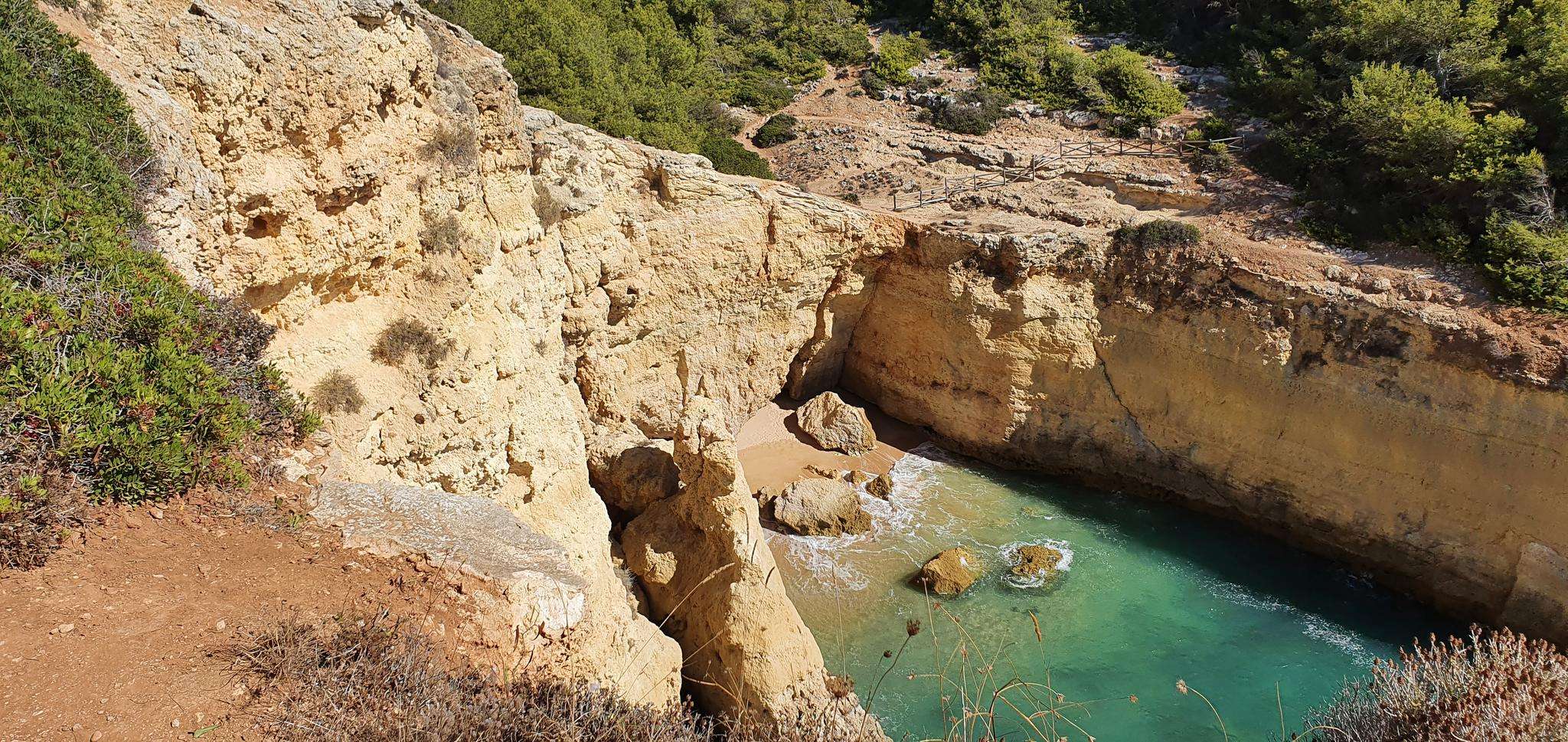
Jogging around Gurgy-Le-Château offers varied terrain within France's Côte-d'Or department, situated in a rural setting. The region is characterized by wooded countryside, meadows, and hedgerows, providing diverse landscapes for runners. Its location within the National Forest Park offers an extensive network of trails with elevations ranging between 307 and 440 meters, suitable for different fitness levels.
Best jogging routes around Gurgy-Le-Château
- The most popular jogging route is Running loop from Auberive, a 6.4 miles (10.3 km) trail that takes…
Last updated: July 6, 2026
8
runners
8.15km
00:51
50m
50m
Moderate run. Good fitness required. Mostly paved surfaces. Suitable for all skill levels.
4
runners
7.79km
00:56
130m
130m
Moderate run. Good fitness required. Mostly paved surfaces. Suitable for all skill levels.

Sign up for free
3
runners
10.1km
01:06
200m
200m
Moderate run. Good fitness required. Mostly paved surfaces. Suitable for all skill levels.
3
runners
10.2km
01:08
200m
200m
Moderate run. Good fitness required. Mostly paved surfaces. Suitable for all skill levels.
4
runners
9.51km
00:59
50m
50m
Moderate run. Good fitness required. Mostly paved surfaces. Suitable for all skill levels.
Get access to more routes and recommendations from other explorers.
Sign up for free
Already have an account?
Our route recommendations are based on thousands of hikes, rides, and runs completed by other people on komoot.
Start today with a free account
Your next adventure awaits.
Login or Signup


Frequently Asked Questions
What kind of terrain can I expect on running routes around Gurgy-Le-Château?
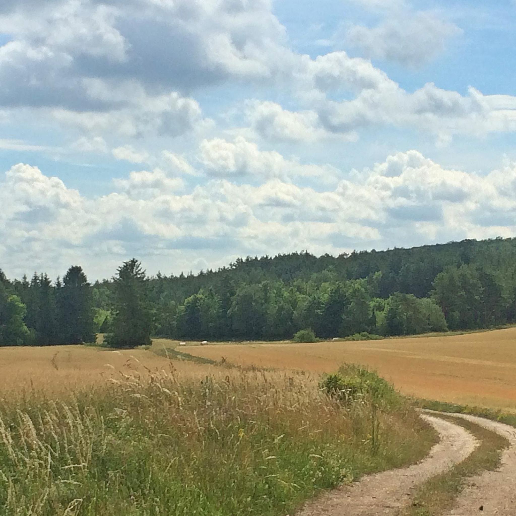
The region around Gurgy-Le-Château, situated in France's Côte-d'Or department, offers a diverse landscape for runners. You'll find a mix of wooded countryside, open meadows, and hedgerows. The elevation ranges between 307 and 440 meters, meaning routes can include both flatter sections and moderate inclines, catering to various fitness levels.
Are there running routes suitable for beginners in Gurgy-Le-Château?
While the guide primarily features moderate routes, the broader National Forest Park, which encompasses Gurgy-Le-Château, offers a variety of trails. Some local options, like the 'Gurgy boucle à partir de Gurgy' mentioned in regional research, are relatively flat with minimal elevation, making them suitable for relaxed jogs or beginners. The varied terrain ensures there are options for different ability levels.
How many running trails are available in the Gurgy-Le-Château area?
There are 9 running routes documented in this guide for the Gurgy-Le-Château area. These include 7 moderate and 2 more challenging options, providing a good selection for different preferences.
Can I find circular running routes near Gurgy-Le-Château?
Yes, many of the running routes in the area are designed as loops. For example, you can explore the Running loop from Auberive, the Running loop from Leuglay, or the Running loop from Recey-sur-Ource, all of which offer circular paths through the scenic countryside.
Are there any natural attractions or viewpoints along the running trails?
Yes, the area boasts several natural highlights. While running, you might encounter sights like the beautiful Étufs Waterfalls or the unique geological formation of Tufière d'Amorey. These natural features add to the scenic beauty of your run.
What historical landmarks can be seen near the jogging routes?
Beyond the natural beauty, you can discover historical sites such as Auberive Abbey and The Church of Our Lady of the Assumption in Auberive. These landmarks offer a glimpse into the region's rich heritage as you explore the trails.
Are there any places to stop for refreshments near the running trails?
Yes, for a post-run refreshment, you could consider visiting Coco's Bar in Aubepierre-sur-Aube, which is listed as a nearby attraction. It's a good option to relax and refuel after your run.
What is the best time of year to go running in Gurgy-Le-Château?
Gurgy-Le-Château's varied landscapes are enjoyable throughout much of the year. Spring and autumn offer pleasant temperatures and beautiful scenery with changing foliage. Summer is also suitable, though it's advisable to run in the mornings or evenings to avoid the midday heat. Winter running is possible, but trails might be muddy or icy, so appropriate gear is recommended.
Are the running routes in Gurgy-Le-Château suitable for families?
The region offers a mix of trails, and while specific 'family-friendly' designations aren't provided for all routes, the presence of easier, flatter options (like the 'Gurgy boucle à partir de Gurgy' mentioned in regional research) suggests that some paths could be suitable for families looking for a gentle jog or walk. Always check the route details for distance and elevation to ensure it matches your family's ability.
What do other runners say about the trails in Gurgy-Le-Château?
Over 30 runners have used komoot to explore the varied terrain around Gurgy-Le-Château. They often praise the diverse landscapes, including wooded countryside and meadows, which make for scenic and engaging runs. The extensive network of trails within the National Forest Park is also a highlight, offering plenty of options for exploration.
What is the longest running route available in this guide?
The longest running route featured in this guide is the Running loop from Auberive, which covers a distance of 10.3 km (6.4 miles) and includes varied elevation through the natural landscape.
Are there any challenging running routes for experienced runners?
Yes, while many routes are moderate, the area also offers more challenging options. For instance, the regional research mentions the 'Cascade d'Étufs loop' as a more challenging 20.7 km hike with a 350-meter elevation gain, which could be adapted for experienced runners seeking a rigorous outing. Within this guide, there are 2 routes classified as difficult, providing a good workout.
Most popular attractions around Gurgy-Le-Château

Get inspired with the komoot mobile app


Explore more
Browse the best Running Trails & Routes in other regions.
