The best mountain hikes around Saint-Cirgues-De-Jordanne
5.0
(6)
14
hikers
3
hikes
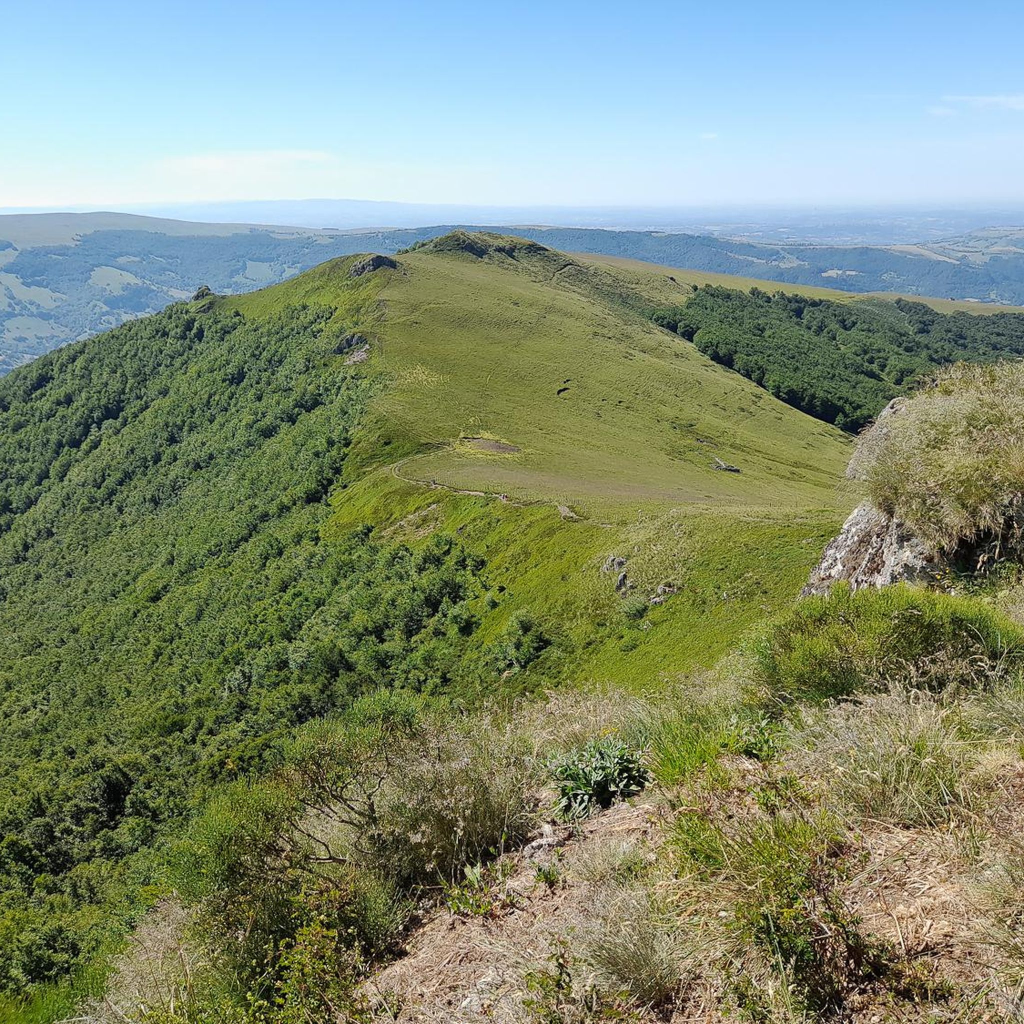
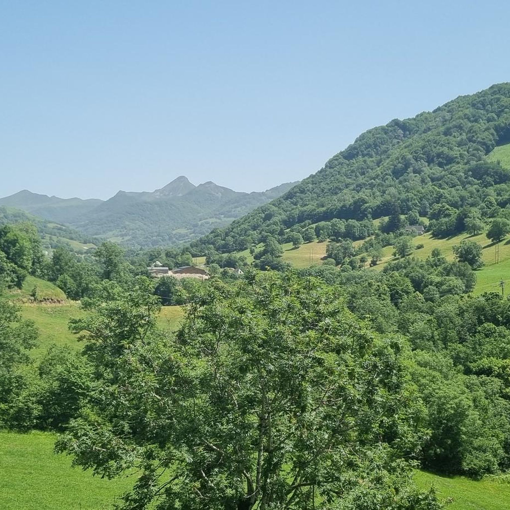
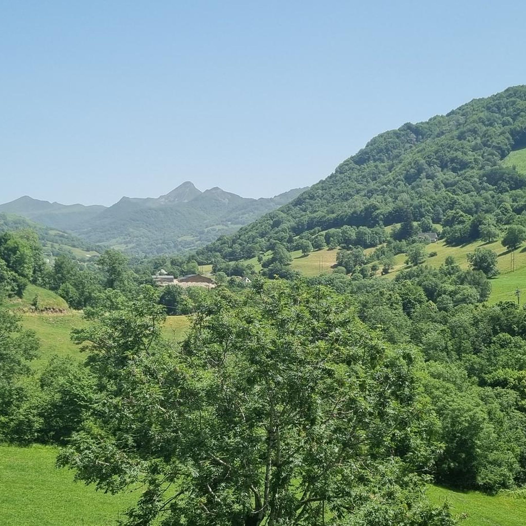
Mountaineering routes around Saint-Cirgues-De-Jordanne are situated within the volcanic Cantal Massif in France's Auvergne-Rhône-Alpes region. This area is characterized by its ancient volcanic landscapes, featuring prominent peaks, deep gorges, and varied terrain. Elevations range from 733 to 1,520 meters, offering a diverse environment for mountain pursuits within the Parc Naturel Régional des Volcans d'Auvergne. The terrain includes a mix of rolling green hills, forests, and rugged volcanic formations.
Best mountaineering routes around Saint-Cirgues-De-Jordanne
- The most popular mountaineering route is Puy…
Last updated: July 6, 2026
5.0
(4)
6
hikers
20.8km
07:42
1,030m
1,030m
Hard mountaineering route. Very good fitness required. Sure-footedness, sturdy shoes and alpine experience required.
5.0
(1)
5
hikers
11.5km
04:43
690m
690m
Hard mountaineering route. Good fitness required. Sure-footedness, sturdy shoes and alpine experience required.

Sign up for free
5.0
(1)
3
hikers
6.55km
02:35
370m
370m
Hard mountaineering route. Good fitness required. Sure-footedness, sturdy shoes and alpine experience required.
Our route recommendations are based on thousands of hikes, rides, and runs completed by other people on komoot.
Start today with a free account
Your next adventure awaits.
Login or Signup
Tips from the Community

Superb and eating at the buron moved
0
0

A magnificent site where the panoramas are breathtaking!!!
0
0

The Rolland Breach was mildly challenging for this 72yo when dry. Descending in the wet would need good grippy footwear. There is an alternative GR400 track bypass
0
0

Here begin the characteristic steps that allow access to the Puy Mary. The result is a beautiful perspective of this emblematic summit of the Cantal mountains.
1
0

nice climb and good visibility over the valley
0
0

At an altitude of 1,588 meters, the Pas de Peyrol is located between the Puy Mary and the Puy de la Tourte. It is known to be the highest road pass in the Massif Central and is worth it, because the last few kilometers have high percentages. There you can admire Puy Mary which peaks at an altitude of 1,783 metres. It is one of the peaks of the Cantal mountains. It is easily recognizable with its pyramidal silhouette.
1
0
Frequently Asked Questions
How many mountaineering routes are available around Saint-Cirgues-De-Jordanne?
There are 5 mountaineering routes detailed in this guide for the Saint-Cirgues-De-Jordanne area. These routes are primarily designed for experienced mountaineers seeking challenging ascents within the volcanic landscapes of the Cantal department.
What are the difficulty levels of mountaineering routes in Saint-Cirgues-De-Jordanne?
All the mountaineering routes listed in this guide for Saint-Cirgues-De-Jordanne are classified as difficult. They involve significant elevation gains and are best suited for experienced mountaineers.
Are there any circular mountaineering routes in the area?
Yes, several routes are circular. For example, you can explore the Puy Chavaroche – Redondet Pass loop from Mandailles, the Ridge line – Puy Mary Summit loop from Mandailles, or the Puy Mary loop from Le Claux, all offering challenging circular experiences.
What natural features or landmarks can I expect to see on these mountaineering routes?
The routes offer stunning views of the volcanic massif, including prominent peaks like Puy Mary Summit, Puy Peyre-Arse, and Venus' Nipple. You'll also encounter high mountain passes such as Roland's Breach and Pas de Peyrol Pass, and experience the dramatic landscapes of the Gorges de la Jordanne.
What is the best season for mountaineering in Saint-Cirgues-De-Jordanne?
The region is generally best explored from spring through autumn. While specific winter mountaineering conditions are not detailed, the area's elevation and mountainous terrain suggest that winter ascents would require specialized gear and experience due to snow and ice. Always check local weather and trail conditions before heading out.
Are there any permits required for mountaineering in the Cantal mountains?
Generally, no specific permits are required for hiking or mountaineering on established trails within the Parc Naturel Régional des Volcans d'Auvergne. However, it's always advisable to check with local tourism offices or park authorities for any specific regulations, especially for sensitive areas or during certain seasons.
What do other mountaineers enjoy most about the routes in Saint-Cirgues-De-Jordanne?
The routes in Saint-Cirgues-De-Jordanne are highly rated by the komoot community, with an average score of 4.5 stars from over 5 reviews. Mountaineers often praise the expansive views from summits like Puy Mary, the challenging ascents, and the unique volcanic terrain that defines the region.
Can I bring my dog on the mountaineering trails?
While many trails in France's regional natural parks are dog-friendly, it's crucial to keep dogs on a leash, especially in areas with livestock or protected wildlife. Given the challenging nature of these mountaineering routes, ensure your dog is fit enough for strenuous ascents and descents. Always check specific trail regulations for any restrictions.
Are there family-friendly mountaineering options in Saint-Cirgues-De-Jordanne?
The mountaineering routes listed in this guide are all classified as difficult, involving significant elevation gains and long durations, making them generally unsuitable for young children or inexperienced families. For family-friendly options, consider shorter, less strenuous hikes in the valleys or discovery trails like those found in the Gorges de la Jordanne, which offer a more accessible experience.
Where can I find parking for these mountaineering routes?
Specific parking information for each route is typically available on the individual tour pages. For routes starting from Mandailles, such as the Puy Chavaroche – Redondet Pass loop or the Ridge line – Puy Mary Summit loop, parking is generally available in or near the village. For the Puy Mary loop from Le Claux, parking can be found in Le Claux. Always arrive early, especially during peak season, as spaces can be limited.
Are there opportunities to see wildlife on the mountaineering trails?
The Parc Naturel Régional des Volcans d'Auvergne is rich in biodiversity. While mountaineering, you might encounter various bird species, local mammals, and diverse flora. The Gorges de la Jordanne, in particular, are noted for their wild and unspoiled setting, offering opportunities to discover Cantalian wildlife. Maintaining a respectful distance and staying on marked trails helps protect these natural habitats.
What are the Gorges de la Jordanne and how can I explore them?
The Gorges de la Jordanne are a spectacular natural site near Saint-Cirgues-De-Jordanne, carved 20 to 60 meters deep into volcanic breccias. A discovery trail through these gorges, marked with panels identifying local flora and fauna, offers an immersive experience. For more information on visiting, you can check the local tourism website: Gorges de la Jordanne.
Most popular routes around Saint-Cirgues-De-Jordanne
Most popular attractions around Saint-Cirgues-De-Jordanne

Get inspired with the komoot mobile app


Explore more
Browse the best Mountain Hikes & Routes in other regions.
