The best mountain hikes around Saint-Alban-Des-Villards
4.8
(7)
56
hikers
6
hikes
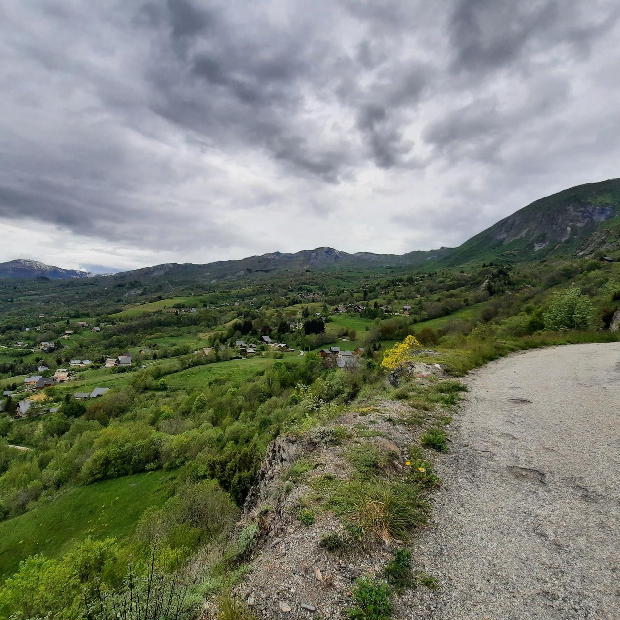
Mountaineering routes around Saint-Alban-Des-Villards are situated in the Villards valley within Savoie, France, offering diverse terrain for outdoor enthusiasts. The region's elevation ranges from 700 meters to over 2700 meters, providing access to significant mountain features. It is characterized by extensive forests, alpine pastures, and mountain lakes, serving as a gateway to the Belledonne Massif and featuring iconic passes like Col du Glandon and Col de la Croix de Fer. This landscape offers varied mountaineering experiences, from challenging ascents to…
Last updated: July 6, 2026
17
hikers
8.01km
03:09
590m
590m
Moderate mountaineering route. Good fitness required. Mostly accessible paths. Sure-footedness required.
4.0
(3)
16
hikers
11.5km
05:39
930m
930m
Hard mountaineering route. Very good fitness required. Mostly accessible paths. Sure-footedness required.

Sign up for free
5.0
(2)
5
hikers
8.91km
04:21
590m
590m
Hard mountaineering route. Good fitness required. Sure-footedness, sturdy shoes and alpine experience required.
5.0
(1)
13
hikers
Hard mountaineering route. Very good fitness required. Mostly accessible paths. Sure-footedness required.
5.0
(1)
2
hikers
8.33km
03:35
610m
610m
Moderate mountaineering route. Good fitness required. Mostly accessible paths. Sure-footedness required.
Our route recommendations are based on thousands of hikes, rides, and runs completed by other people on komoot.
Start today with a free account
Your next adventure awaits.
Login or Signup
Popular around Saint-Alban-Des-Villards

Tips from the Community

The road is long but it's worth it.
0
0

The descent from the Col du Glandon towards the north offers a striking view towards the valley, the Col de la Madeleine and the Mont Blanc massif.
0
0

At the pass, we find engraved markers indicating the border between France and the House of Savoy
0
0

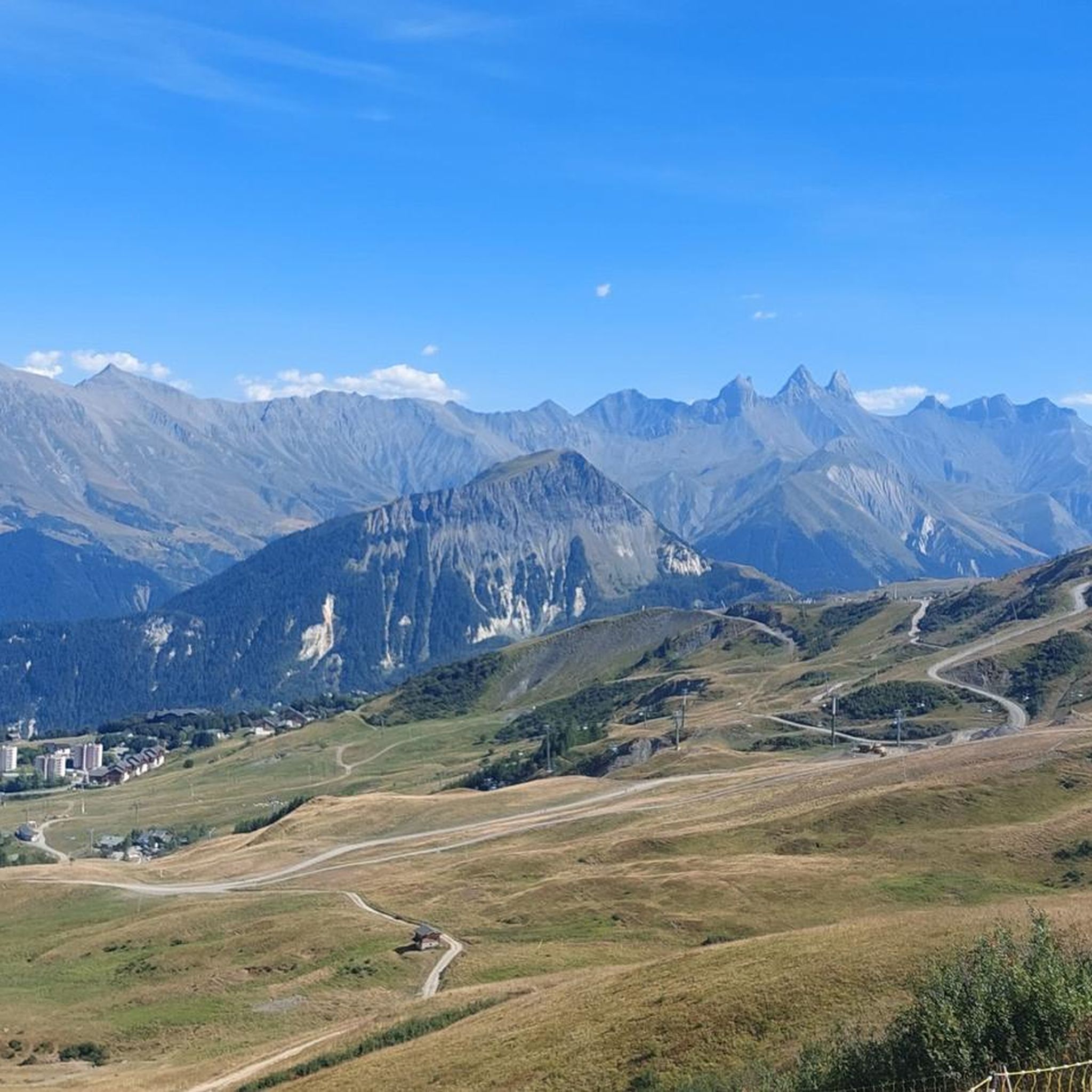
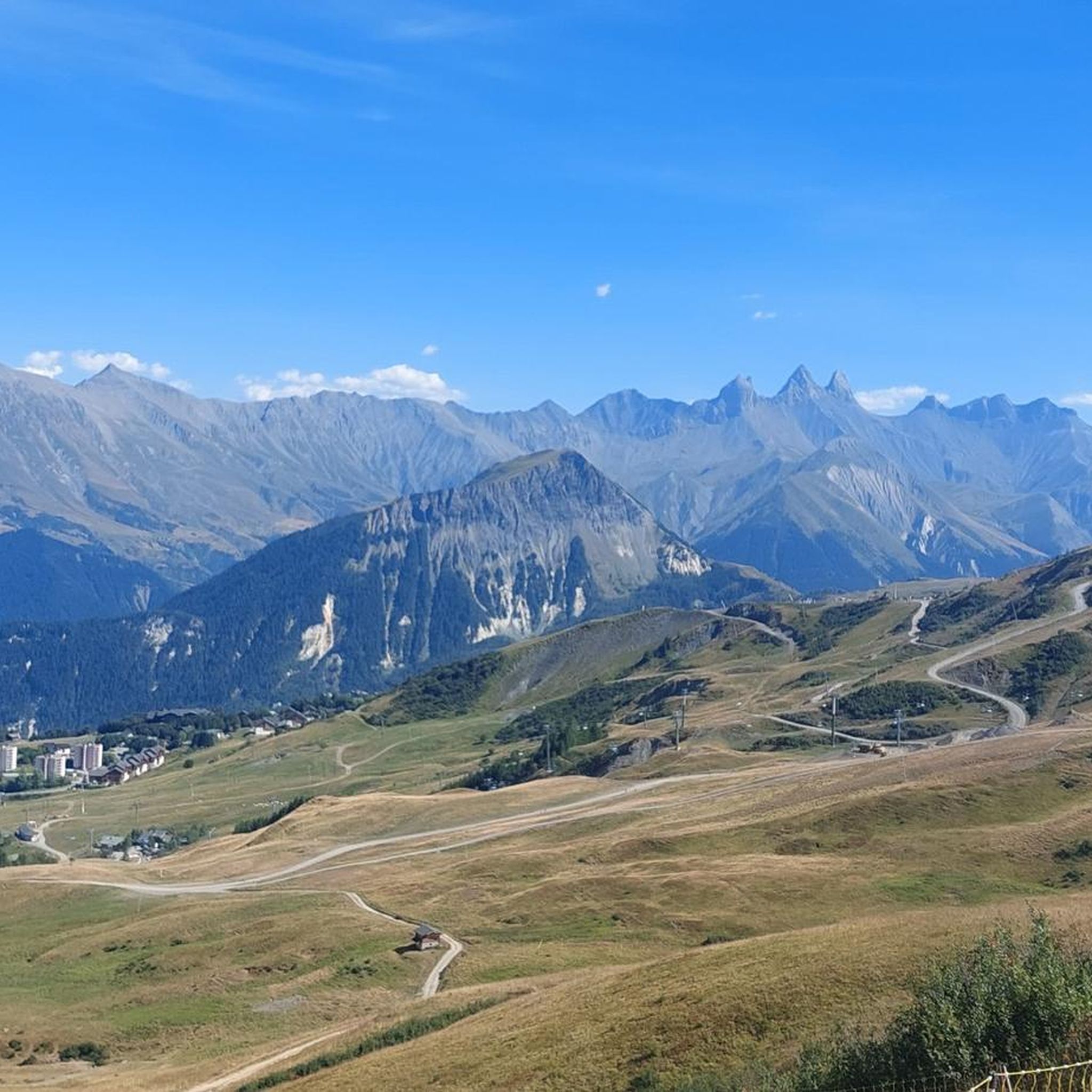
The Col d’Arves, perched at an altitude of 2,100 metres, offers a breathtaking panorama of the majestic Aiguilles d'Arves and the surrounding Alpine peaks. This Alpine pass, accessible by hiking trails, is a privileged place for mountain lovers in search of tranquility and grandiose landscapes. The alpine meadows and green valleys that stretch as far as the eye can see contrast with the snow-capped peaks.
1
0


From here you can enjoy the view of Mont Blanc and be happy that you made it this far.
0
0


The Col de la Croix de Fer culminates at an altitude of 2063 meters. It is the big neighbor of the Col du Glandon, another crossing point between the Maurienne and Oisans valleys. The Tour de France has used this pass 21 times. It is one of the most beautiful in France, a must-visit point for any mountain-loving cyclist!
1
0
Frequently Asked Questions
How many mountaineering routes are available around Saint-Alban-Des-Villards?
There are over 10 distinct mountaineering routes around Saint-Alban-Des-Villards, offering a variety of experiences from moderate ascents to more challenging high-altitude traverses. These routes are highly rated by the komoot community, with an average score of 4.7 stars.
Are there any easy mountaineering routes suitable for beginners or families?
While many routes are moderate to difficult, there is at least one easy mountaineering route available. The region also offers numerous walking circuits suitable for all levels, including family-friendly strolls, particularly in summer and autumn. For a moderate option that offers beautiful views without extreme difficulty, consider the Col de la Croix de Fer (Iron Cross Pass) loop from Col de la Croix-de-Fer.
What kind of terrain can I expect on mountaineering routes in Saint-Alban-Des-Villards?
The terrain around Saint-Alban-Des-Villards is incredibly diverse, ranging from 700m to over 2700m in elevation. You'll encounter extensive forests, lush alpine pastures, and significant mountain features within the Belledonne Massif. Routes often lead through high mountain passes like the Col du Glandon and Col de la Croix de Fer, offering varied landscapes and challenging ascents.
What are some notable natural features or landmarks I might see on these routes?
Mountaineering routes in this region often feature stunning natural beauty. You can expect to see picturesque mountain lakes and torrents, vast alpine pastures, and panoramic views of high summits such as Grand Truc, Pic de Frumezan, Cime de Sambuis, and Aiguilles d'Argentières. The Léat refuge and lake is a particularly scenic spot, and the Col de la Croix de Fer is a significant mountain pass.
Are there any circular mountaineering routes available?
Yes, several circular routes are available for mountaineering. For example, the Lac du Collet – Les Plagnes loop from Le Collet d'Allevard is a moderate 8.4 km trail that offers beautiful mountain lake and alpine scenery. Another option is the Col de la Croix de Fer (Iron Cross Pass) loop from Saint-Jean-d'Arves.
What is the best time of year for mountaineering in Saint-Alban-Des-Villards?
The summer and autumn months are generally ideal for mountaineering and hiking in Saint-Alban-Des-Villards, offering pleasant weather and accessible trails. However, the region is also renowned for ski touring in winter, particularly in areas like the Combe du Merlet, which attracts enthusiasts with its abundant snow.
Are there any challenging mountaineering routes for experienced climbers?
Absolutely. For those seeking a significant challenge, the Les Grands Moulins – Grande Montagne d'Arvillard loop from Parking de Val Pelouse is a difficult 12.0 km path with extensive mountain views and considerable elevation gain. Another demanding option is the Lac de la Croix loop from Col du Glandon.
Are there any huts or refuges along the mountaineering routes?
Yes, the region provides several options for overnight stays or breaks. Notable refuges include the La Combe Madame Refuge, an alpine gîte in the Belledonne massif, and the Refuge de la Perrière. These can be excellent points for rest or to extend your mountaineering adventure.
What do other mountaineers say about the routes in Saint-Alban-Des-Villards?
The mountaineering routes around Saint-Alban-Des-Villards are highly regarded by the komoot community, with an average rating of 4.7 out of 5 stars from over 10 reviews. Users frequently praise the diverse terrain, the stunning views of the Belledonne Massif, and the variety of routes suitable for different skill levels.
Is there parking available near the trailheads for mountaineering routes?
While specific parking details for every trailhead are not provided, many popular mountaineering routes, especially those starting from well-known passes like Col du Glandon or areas like Val Pelouse, typically have designated parking facilities. It's advisable to check the individual route descriptions on komoot for precise parking information before your trip.
Can I find places to eat or stay near the mountaineering areas?
Saint-Alban-Des-Villards and the surrounding Villards valley offer amenities for visitors. You can find accommodation and dining options in the village itself. Additionally, alpine chalets and refuges like the La Combe Madame Refuge provide places to rest and eat directly within the mountain environment.
Most popular routes around Saint-Alban-Des-Villards
Most popular attractions around Saint-Alban-Des-Villards

Get inspired with the komoot mobile app


Explore more
Browse the best Mountain Hikes & Routes in other regions.
