The best mountain hikes around Villard-D'Héry
3.8
(4)
32
hikers
3
hikes
Mountaineering routes Villard-D'Héry are situated within the Savoie region of France, at the foot of the Belledonne massif and within the broader Alpine Massif. The area is characterized by significant elevation changes and diverse terrain, including challenging ascents. It benefits from its proximity to protected natural areas such as the Massif des Bauges Regional Natural Park and the Chartreuse Regional Natural Park, offering expansive environments for mountain activities.
Best mountaineering routes around Villard-D'Héry
- The most popular mountaineering route is Grande…
Last updated: July 6, 2026
3.5
(2)
11
hikers
19.8km
08:35
1,380m
1,380m
Hard mountaineering route. Very good fitness required. Mostly accessible paths. Sure-footedness required.
6
hikers
13.9km
05:36
990m
990m
Hard mountaineering route. Very good fitness required. Mostly accessible paths. Sure-footedness required.

Sign up for free
3.0
(1)
6
hikers
12.0km
05:31
1,070m
1,070m
Hard mountaineering route. Very good fitness required. Mostly accessible paths. Sure-footedness required.
5
hikers
10.8km
04:29
790m
790m
Moderate mountaineering route. Good fitness required. Mostly accessible paths. Sure-footedness required.
5.0
(1)
4
hikers
8.27km
03:03
330m
330m
Hard mountaineering route. Good fitness required. Sure-footedness, sturdy shoes and alpine experience required.
Our route recommendations are based on thousands of hikes, rides, and runs completed by other people on komoot.
Start today with a free account
Your next adventure awaits.
Login or Signup
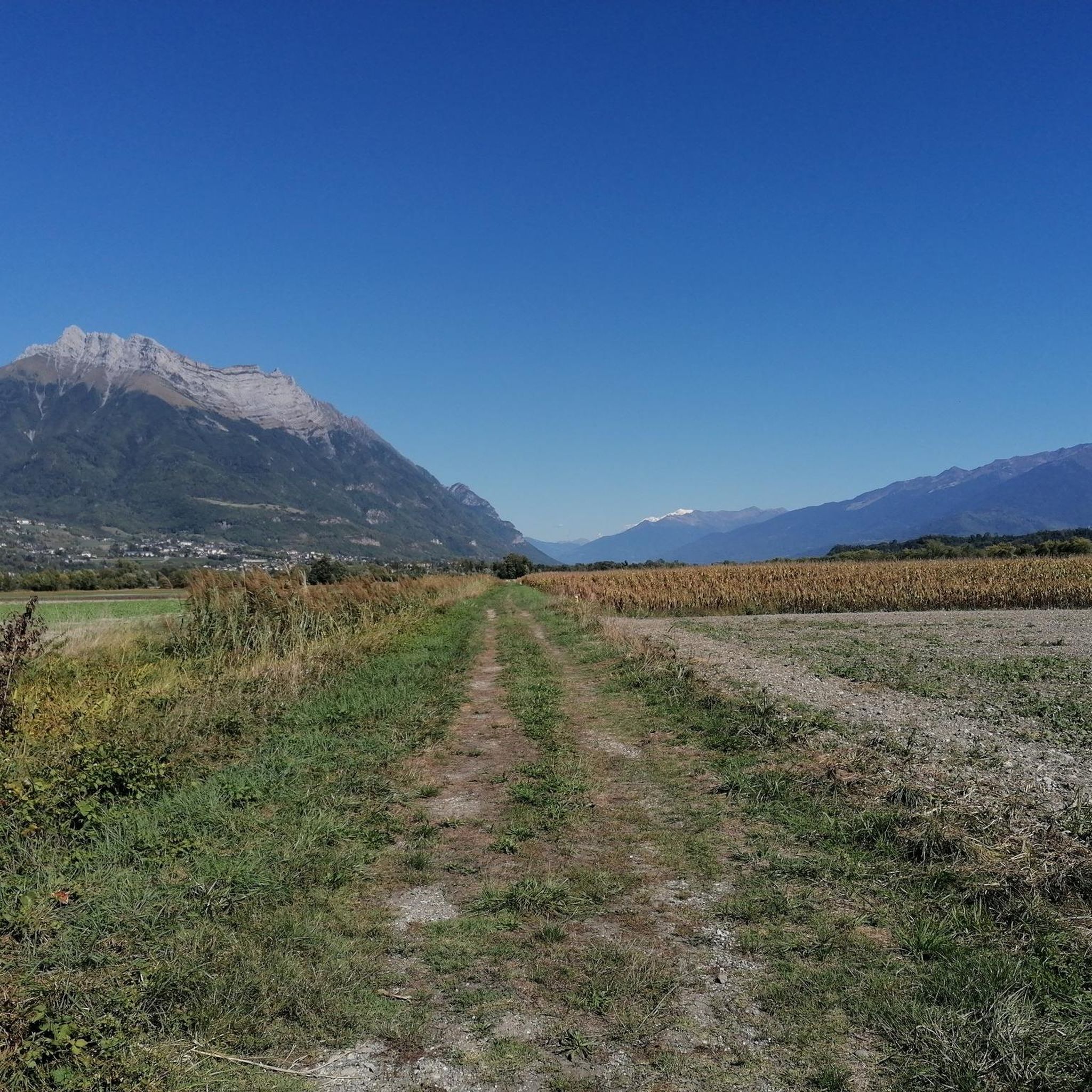

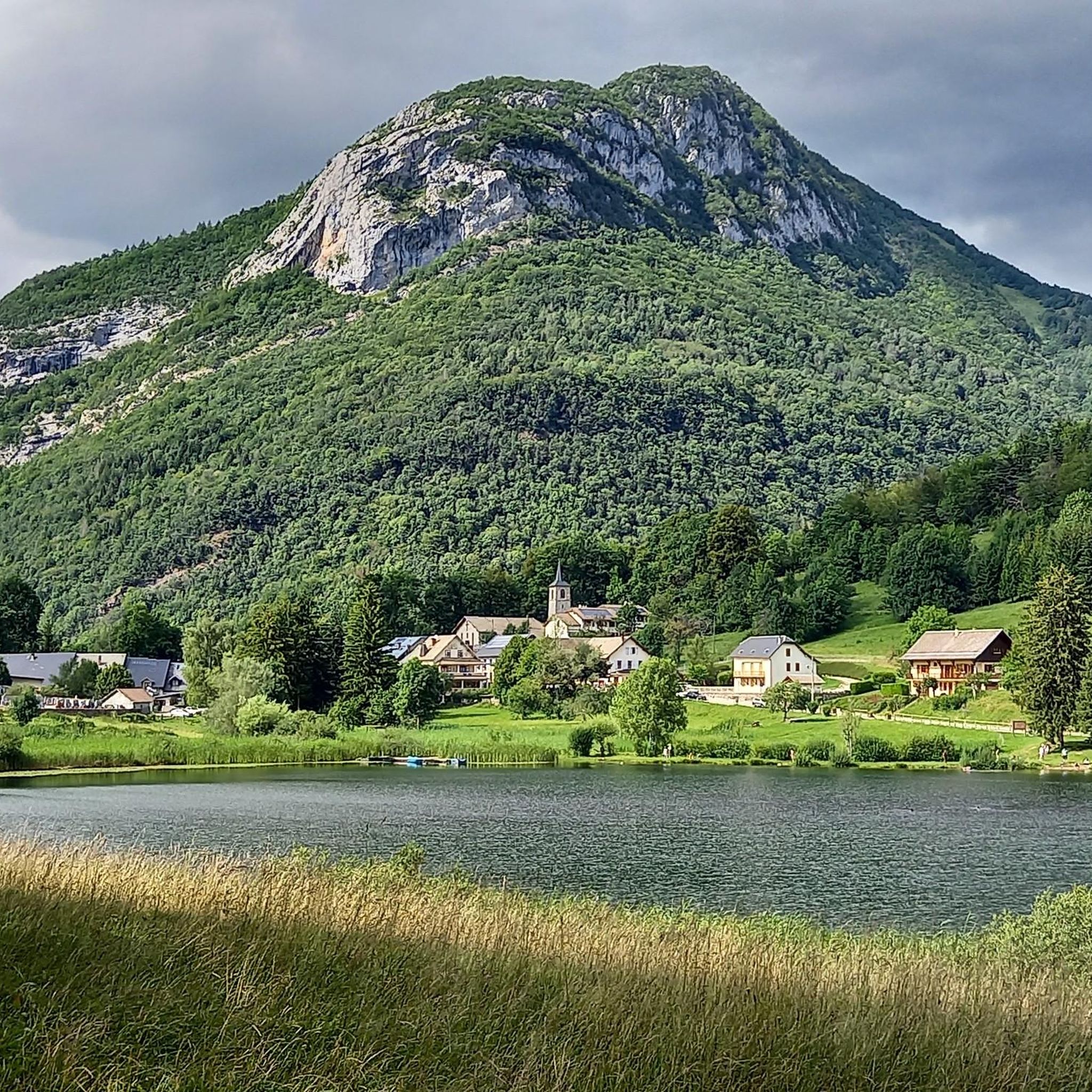
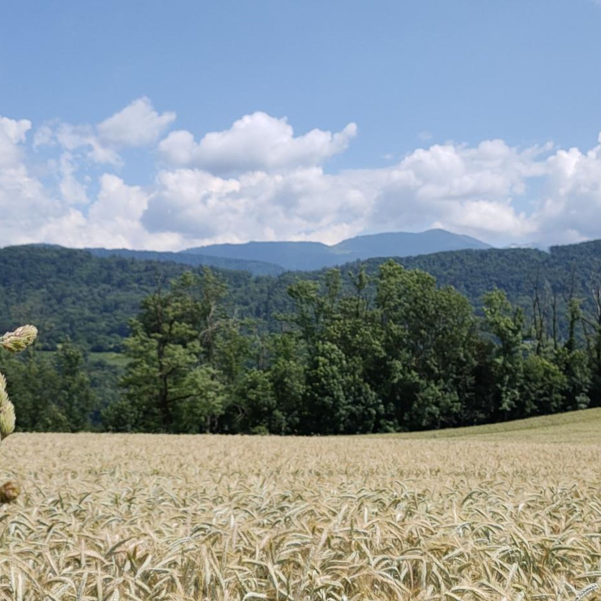


Tips from the Community

Wonderful panorama of the Bauges, the Chambéry valley and all the massifs of the Northern Alps.
0
0

Extraordinary view but deserved because the last meters are not easy
0
0

The Perrière refuge is an unguarded refuge that was renovated in 2018. It is nestled at the foot of the Grands Moulins (2,498 meters above sea level). There you will find 18 beds on mattresses, blankets, a stove, kitchen utensils and water. It is also equipped with solar electricity, which allows its smartphones and GPS devices to be recharged. A beautiful place to spend a night in the mountains!
1
0
The Col de la Perrière is located at an altitude of 2,003 meters. It offers a superb view of the Grand Charnier, the Grands Moulins, the Frêche, the Tête de la Perrière and the Grand Miceau.
0
0

Point of view not easy to access for everyone but very nice!
1
0

The trip there is not always easy. We did it with 3 kids (age 3, 5 and 7). The view at the top is really amazing!
1
0

The only lake Bauges. A haven of peace (a little less during the summer season).
3
0
Frequently Asked Questions
What kind of mountaineering routes can I expect around Villard-D'Héry?
Villard-D'Héry, situated at the foot of the Belledonne massif within the broader Alpine Massif, offers mountaineering routes characterized by significant elevation changes and diverse, challenging terrain. These routes are generally demanding, with substantial ascents, making them suitable for experienced mountaineers.
Are there any beginner-friendly mountaineering routes in the area?
The mountaineering routes directly around Villard-D'Héry, as featured in this guide, are generally classified as difficult. For example, the Grande Montagne d'Arvillard – Les Grands Moulins loop from Institut Karma Ling involves over 4,500 feet of ascent. While there are no easy routes listed here, some moderate options like the Pointe de la Galoppaz loop from Puygros exist, which still require good fitness.
What are the typical distances and durations for mountaineering routes near Villard-D'Héry?
Routes vary, but many involve considerable distances and durations. For instance, the Grande Montagne d'Arvillard loop from Institut Karma Ling is about 8.6 miles (13.9 km) and typically takes around 5 hours 36 minutes. Longer routes can extend to nearly 12.4 miles (19.9 km) and take over 8 hours.
Are there any circular mountaineering routes available?
Yes, several routes are designed as loops, allowing you to start and finish at the same point. Examples include the Pointe de la Galoppaz – Col de la Buffaz loop from Puygros and the Petite Pointe de la Galoppaz – Pointe de la Galoppaz loop from Le Fournet, providing varied terrain and views.
What natural features or landmarks can I see while mountaineering in this region?
The area offers stunning views of the Belledonne massif and is close to the Massif des Bauges and Chartreuse Regional Natural Parks. Along the routes, you might encounter significant mountain passes like Marocaz Pass or Col du Frêne (950 m). There are also prominent peaks such as La Galoppaz Peak and Dent d'Arclusaz.
What do other mountaineers say about the routes in Villard-D'Héry?
The mountaineering routes around Villard-D'Héry are highly regarded by the komoot community, with an average score of 3.8 stars from 4 reviews. Over 40 mountaineers have explored this varied terrain, often praising the challenging ascents and the rewarding mountain landscapes.
Is the Col de la Cochette part of any mountaineering routes here?
While the Col de la Cochette is a notable local climb known for its 2.2 km ascent and average gradient of 6.7%, it is primarily recognized as a cycling challenge. The mountaineering routes listed in this guide focus on different, more extensive mountain hiking trails within the broader Alpine Massif.
Are there any historical sites or points of interest near the mountaineering trails?
Yes, beyond the natural beauty, you can find historical points of interest. For example, Fort Montgilbert is a notable historical site in the vicinity that could be explored as part of a broader visit to the region.
What is the best time of year for mountaineering in Villard-D'Héry?
The Savoie region, including Villard-D'Héry, is best for mountaineering during the warmer months, typically from late spring through early autumn. This period offers more stable weather conditions, less snow at higher elevations, and longer daylight hours, making challenging ascents more feasible and enjoyable.
Are there options for family-friendly or dog-friendly hikes in the Villard-D'Héry area?
The mountaineering routes highlighted in this guide are generally difficult and involve significant elevation gains, making them less suitable for young children or those seeking very easy walks. For dog-friendly options, it's always best to check local regulations for specific trails within the Massif des Bauges or Chartreuse Regional Natural Parks, as rules can vary.
Where can I find parking for these mountaineering routes?
Specific parking information for each trailhead is usually detailed on the individual route pages on komoot. Many routes, such as those starting from Institut Karma Ling or Puygros, typically have designated parking areas nearby, though availability can vary, especially during peak season.
Are there any cafes or amenities near the trailheads in Villard-D'Héry?
Villard-D'Héry and its surrounding villages offer some local amenities. While direct trailhead cafes might be limited, you can usually find options for refreshments and provisions in the main village or nearby towns before or after your mountaineering adventure.
Most popular routes around Villard-D'Héry
Most popular attractions around Villard-D'Héry

Get inspired with the komoot mobile app


Explore more
Browse the best Mountain Hikes & Routes in other regions.
