The best mountain hikes around Villargondran
5.0
(2)
7
hikers
3
hikes
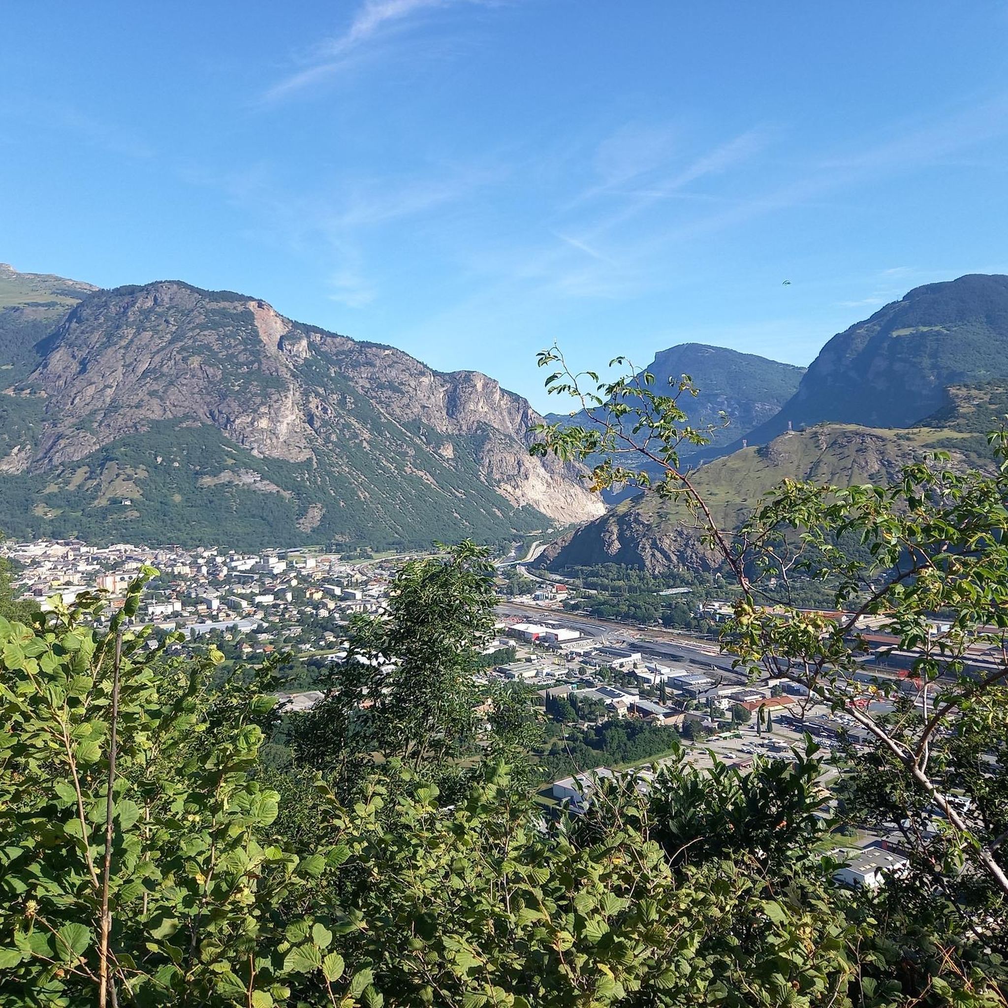
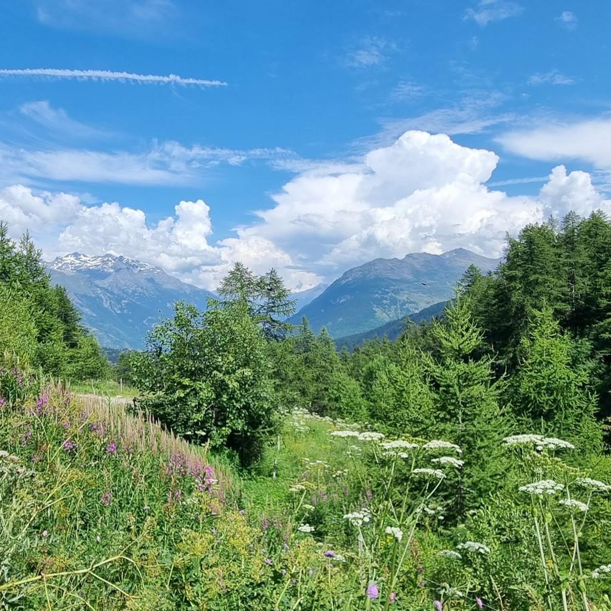
Mountaineering routes around Villargondran are situated in the Maurienne valley of Savoie, France, characterized by dramatic mountainous terrain and proximity to significant peaks. The region features prominent natural landmarks like the Croix des Têtes, which rises above 2,492 meters. It offers access to extensive mountain scenery, including the Aiguilles d'Arves and the Mont Granier, and is bordered by Vanoise National Park and Ecrins National Park. This landscape provides diverse opportunities for mountaineering, from challenging ascents to routes through high mountain…
Last updated: July 6, 2026
5.0
(1)
2
hikers
8.33km
03:35
610m
610m
Moderate mountaineering route. Good fitness required. Mostly accessible paths. Sure-footedness required.
5.0
(1)
3
hikers
9.57km
02:55
330m
330m
Moderate mountaineering route. Good fitness required. Easily-accessible paths. Suitable for all skill levels.

Sign up for free
1
hikers
9.01km
03:11
500m
500m
Moderate mountaineering route. Good fitness required. Easily-accessible paths. Suitable for all skill levels.
1
hikers
2.82km
00:56
140m
130m
Easy mountaineering route. Great for any fitness level. Easily-accessible paths. Suitable for all skill levels.
Our route recommendations are based on thousands of hikes, rides, and runs completed by other people on komoot.
Start today with a free account
Your next adventure awaits.
Login or Signup
Tips from the Community

The climb is easy and worth the effort. Magnificent view. There's a picnic table...
0
0

After the Galibier, if that's not enough for you, you can also get the Tèlègraphe.
21
1

The Col d’Arves, perched at an altitude of 2,100 metres, offers a breathtaking panorama of the majestic Aiguilles d'Arves and the surrounding Alpine peaks. This Alpine pass, accessible by hiking trails, is a privileged place for mountain lovers in search of tranquility and grandiose landscapes. The alpine meadows and green valleys that stretch as far as the eye can see contrast with the snow-capped peaks.
1
0

Essential crossing point for many descents on both sides
0
0

Les Trois Croix (1660 m) is a wonderful place to go and stop off. Beautiful views. Picnic areas. Several hiking and mountain biking trails pass here.
1
0
This is a place that definitely deserves a stop while touring. Cyclists, walkers, motorcyclists, mountain bikers, .... all can go there. (Catering business, parking, outdoor terrace, ...) Several picnic areas and information boards in the immediate vicinity.
3
0
Still want to deviate from the normal route out of curiosity and make a small climb to see this bunker from a bit closer?
2
0
Frequently Asked Questions
What types of mountaineering routes can I find around Villargondran?
The Villargondran area, nestled in the Maurienne valley, offers a variety of mountaineering experiences. You'll find routes ranging from easy ascents to more challenging high-altitude paths, often leading through dramatic mountainous terrain and famous mountain passes. For example, the Les 3 Croix loop from Fontcouverte-la-Toussuire is an easy option, while routes like La Grande Verdette – Pointe de l'Ouillon loop from Poste de Secours offer a moderate challenge with significant elevation gain.
Are there any circular mountaineering routes in Villargondran?
Yes, several mountaineering routes around Villargondran are circular, allowing you to start and end at the same point. A popular choice is the La Grande Verdette – Pointe de l'Ouillon loop from Poste de Secours, which covers 12.2 km. Another option is the Mont Charvin – Col d'Arves loop from Saint-Jean-d'Arves, a moderate 8.3 km path through alpine landscapes.
What is the best time of year for mountaineering in Villargondran?
The best time for mountaineering in Villargondran typically spans from late spring through early autumn (roughly May to October), when the weather is generally more stable and snow has receded from lower and mid-altitude trails. However, the region's proximity to ski resorts like Karellis and Albiez also makes it suitable for winter activities like snowshoeing, which can offer a different kind of mountain experience.
Are there any easy mountaineering routes suitable for beginners or families?
Yes, there are easier options available. The Les 3 Croix loop from Fontcouverte-la-Toussuire is classified as easy, covering 2.8 km with a duration of about 56 minutes. This route provides a good introduction to the mountainous terrain without being overly strenuous, making it suitable for those new to mountaineering or families looking for a less demanding walk.
What notable landmarks or natural features can I see along the mountaineering routes?
The Villargondran area is rich in natural beauty and prominent landmarks. You can encounter famous mountain passes like Col du Télégraphe and Col du Chaussy, which are often part of mountaineering routes. The region also offers views of impressive peaks such as the Croix des Têtes, Aiguilles d'Arves, and Mont Granier. The Col du Télégraphe loop from Col du Télégraphe is a great way to experience one of these iconic passes.
Are there any specific regulations for dog-friendly trails in the Villargondran area?
While many trails in the Maurienne valley are dog-friendly, it's important to be aware of specific regulations, especially when near or within national parks. Villargondran is close to Vanoise National Park and Ecrins National Park, where dogs are often restricted or must be kept on a leash to protect wildlife. Always check local signage and park rules before heading out with your dog.
What is the typical elevation gain on mountaineering routes around Villargondran?
The elevation gain varies significantly depending on the route's difficulty. For example, an easy route like the Les 3 Croix loop from Fontcouverte-la-Toussuire involves about 136 meters of ascent. Moderate routes, such as the La Toussuire Summit – Chaput Pass loop from Villarembert, can have around 500 meters of elevation gain, while more challenging routes can exceed 700 meters, offering substantial climbs.
How long do mountaineering routes typically take to complete?
The duration of mountaineering routes around Villargondran varies based on distance and difficulty. An easy route like the Les 3 Croix loop from Fontcouverte-la-Toussuire can be completed in under an hour. Moderate routes, such as the La Grande Verdette – Pointe de l'Ouillon loop from Poste de Secours, typically take around 4 hours and 19 minutes, while others like the Col du Télégraphe loop from Col du Télégraphe take approximately 2 hours and 55 minutes.
Are there opportunities for wild swimming near the mountaineering trails?
While the immediate vicinity of high-altitude mountaineering trails might not have designated wild swimming spots, the broader Villargondran area offers options. The Plan d'eau des Oudins, a nearby lake, provides supervised swimming during the summer months, offering a refreshing break after a day in the mountains.
What do other mountaineers enjoy most about the routes around Villargondran?
The mountaineering routes around Villargondran are highly rated by the komoot community, with an average score of 5.0 stars. Reviewers often praise the dramatic mountainous terrain, the stunning views of peaks like the Croix des Têtes, and the diverse opportunities for challenging ascents through high mountain passes. The proximity to Vanoise and Ecrins National Parks is also a significant draw.
Is public transport available to access mountaineering trailheads from Villargondran?
Public transport options to specific trailheads can be limited in mountainous regions like Villargondran. While local bus services might connect to some villages, direct access to all mountaineering starting points often requires a car. It's advisable to check local bus schedules for the Maurienne valley if you plan to rely on public transport, as services can be infrequent, especially outside peak season.
Are there any cafes or pubs near the mountaineering routes for refreshments?
While Villargondran itself offers amenities, specific cafes or pubs directly at high-altitude trailheads are rare. However, many villages in the Maurienne valley, such as Saint-Jean-d'Arves or Valloire, which are often starting points or nearby to routes, will have options for refreshments. It's always a good idea to carry sufficient water and snacks, especially on longer routes.
Most popular routes around Villargondran
Most popular attractions around Villargondran

Get inspired with the komoot mobile app


Explore more
Browse the best Mountain Hikes & Routes in other regions.
