The best running trails around Ouzouer-Des-Champs
5.0
(2)
274
runners
40
runs
Jogging routes around Ouzouer-Des-Champs traverse a bocage landscape, characterized by numerous ponds and woodlands. The Puiseaux river flows through the area, offering riverside running paths. To the north, the Forêt d'Orléans provides extensive woodland trails for longer runs. This region combines rural charm with natural features, creating diverse running opportunities.
Best jogging routes around Ouzouer-Des-Champs
- The most popular jogging route is Running loop from Montargis, a 4.4 miles (7.2 km) trail that takes 44 minutes to complete. This moderate…
Last updated: July 6, 2026
5.0
(1)
7
runners
7.16km
00:44
30m
30m
Moderate run. Good fitness required. Mostly paved surfaces. Suitable for all skill levels.
5
runners
8.87km
00:55
10m
10m
Moderate run. Good fitness required. Mostly paved surfaces. Suitable for all skill levels.

Sign up for free
5.0
(1)
7
runners
11.8km
01:13
20m
20m
Moderate run. Good fitness required. Mostly paved surfaces. Suitable for all skill levels.
4
runners
5.03km
00:32
30m
30m
Moderate run. Good fitness required. Mostly paved surfaces. Suitable for all skill levels.
6
runners
9.86km
01:03
60m
60m
Moderate run. Good fitness required. Mostly paved surfaces. Suitable for all skill levels.
Get access to more routes and recommendations from other explorers.
Sign up for free
Already have an account?
Our route recommendations are based on thousands of hikes, rides, and runs completed by other people on komoot.
Start today with a free account
Your next adventure awaits.
Login or Signup

Tips from the Community


South of Nemours, there are about 15km of unpaved track. After these 15km, it is paved and of good quality until Briare I think (we stopped at Chatillon-Coligny).
1
1

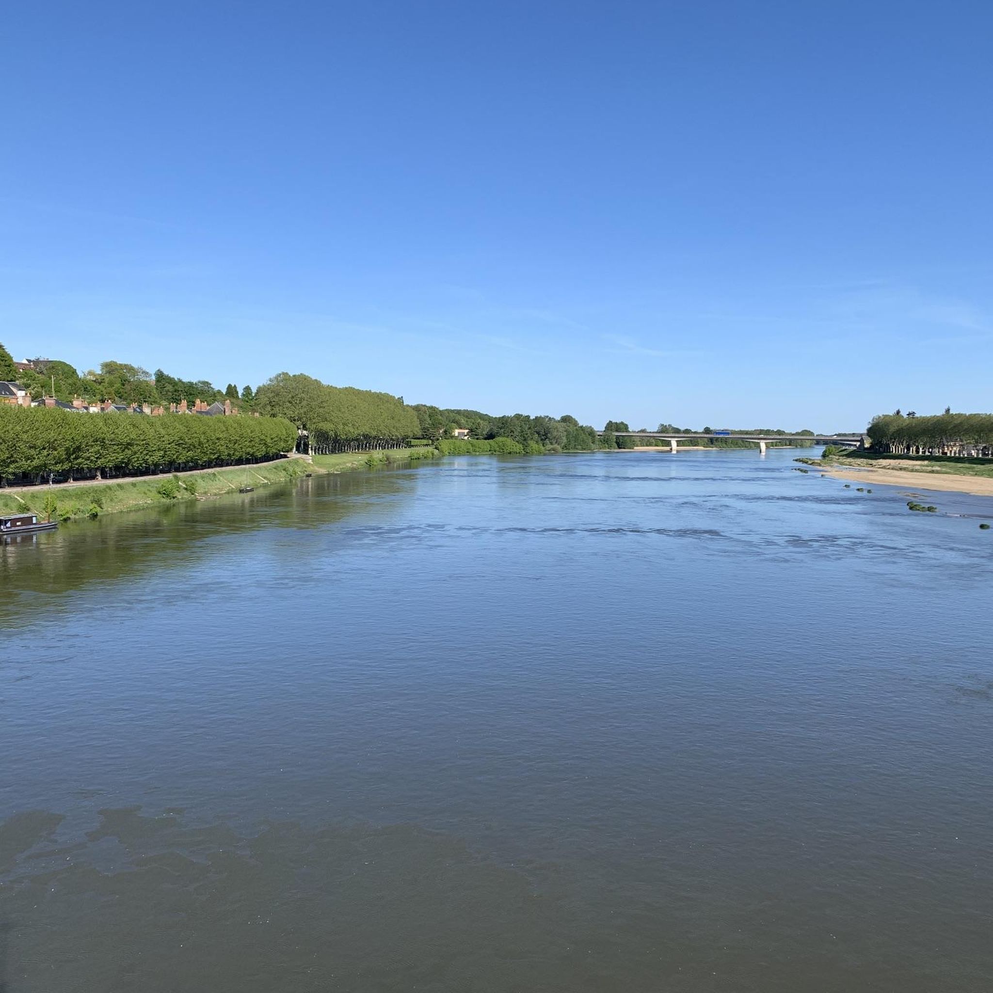
On the banks of the Loing, near Montbouy, you will be transported to a bygone era. This picturesque river, with its tranquil waters and lush greenery, offers a peaceful escape from the hustle and bustle of city life. You can admire the historic bridge, the charming church and the avenue of trees.
0
0

Access forbidden
0
0
Frequently Asked Questions
How many running routes are available around Ouzouer-Des-Champs?
There are over 40 running routes in and around Ouzouer-Des-Champs. These trails offer a variety of experiences, from gentle riverside paths to more challenging woodland runs.
What types of terrain and difficulty levels can I expect on the jogging trails?
The running routes around Ouzouer-Des-Champs feature a diverse landscape, including bocage, riverside paths along the Puiseaux river, and extensive woodland trails in the nearby Forêt d'Orléans. You'll find options for various fitness levels, with 3 easy, 36 moderate, and 3 difficult running trails available.
Are there any family-friendly jogging routes in the area?
Yes, there are several routes suitable for families. For a pleasant, shorter option, consider the Running loop from Montargis, which is 4.4 miles (7.2 km) and takes about 44 minutes to complete. It's a moderate route that offers a nice introduction to the local countryside.
Can I bring my dog on the running trails?
Many of the trails around Ouzouer-Des-Champs are suitable for running with dogs, especially those through woodlands and rural areas. However, it's always recommended to keep your dog on a leash, especially near agricultural land or in protected natural areas, and to check local signage for any specific restrictions.
What kind of natural features or landmarks can I see while jogging?
While jogging, you'll encounter the picturesque bocage landscape with its numerous ponds and woods. The Puiseaux river flows through the area, offering scenic riverside sections. To the north, the Forêt d'Orléans provides immersive woodland scenery. You might also spot traditional stone and half-timbered houses, adding to the rural charm. For specific points of interest, consider routes near The Loing river.
Are there any circular running routes available?
Yes, many of the routes are designed as loops, offering a convenient way to start and finish in the same location. An example is the Running loop from Vimory, a moderate 5.5 miles (8.9 km) path that guides runners through varied terrain, including sections of woodland and open fields.
What do other runners enjoy most about jogging in Ouzouer-Des-Champs?
The running routes in Ouzouer-Des-Champs are highly rated by the komoot community, with an average score of 4.6 stars from over 4 reviews. Runners often praise the diverse terrain, the peaceful bocage landscapes, and the opportunity to explore both riverside paths and the extensive woodland trails of the Forêt d'Orléans.
Is there parking available near the trailheads?
While specific parking information for each trailhead isn't always detailed, routes often start from villages or accessible points where public parking may be available. For example, routes like The Loing – Montcresson Washhouse loop from Montcresson would typically have parking options within or near Montcresson.
What is the best season for running in Ouzouer-Des-Champs?
Ouzouer-Des-Champs offers pleasant running conditions throughout much of the year. Spring and autumn provide mild temperatures and beautiful scenery, with blooming flowers or vibrant fall foliage. Summer can be warm, but the shaded woodland trails of the Forêt d'Orléans offer a cooler option. Winter runs can be crisp and refreshing, especially through the quiet rural landscapes.
Are there any longer running routes for experienced runners?
Absolutely. For those looking for a longer challenge, the The Loing – Montcresson Washhouse loop from Montcresson is a 7.3 miles (11.8 km) trail that leads through the scenic Loing river area, typically completed in about 1 hour 13 minutes. Other routes, particularly those extending into the Forêt d'Orléans, can also offer significant distances.
Where can I find more information about the Ouzouer-Des-Champs region?
For general information about Ouzouer-Des-Champs and the surrounding area, you can visit the local tourism websites. The Loiret tourism site and the Lorris tourism site provide details on local attractions and activities.
Are there any routes that pass by water features other than the Puiseaux river?
Yes, the region is characterized by numerous ponds and the Loing river. For example, the Étang de Nogent sur Vernisson loop from Nogent-sur-Vernisson is a 9.8 km (6.1 miles) route that takes you around the Étang de Nogent sur Vernisson, offering beautiful lakeside views during your run.
Most popular attractions around Ouzouer-Des-Champs

Get inspired with the komoot mobile app


Explore more
Browse the best Running Trails & Routes in other regions.
