The best mountain hikes around Bogève
4.0
(10)
62
hikers
6
hikes
Mountaineering around Bogève, nestled in France's Haute-Savoie region, offers access to diverse alpine terrain and challenging mountain routes. The area is characterized by significant elevation gains, panoramic viewpoints, and notable mountain passes. These routes often require good fitness and alpine experience, with some involving ascents exceeding 3,000 feet. The landscape features rugged mountain trails and offers extensive views of the surrounding peaks, including Mont Blanc.
Best mountaineering routes around Bogève
- The most popular mountaineering route is Petit Môle – Le…
Last updated: June 22, 2026
4.8
(4)
29
hikers
8.59km
04:12
670m
670m
Hard mountaineering route. Good fitness required. Sure-footedness, sturdy shoes and alpine experience required.
4.3
(3)
14
hikers
13.0km
04:40
740m
740m
Moderate mountaineering route. Good fitness required. Easily-accessible paths. Suitable for all skill levels.

Sign up for free
5
hikers
11.9km
04:57
930m
930m
Hard mountaineering route. Very good fitness required. Sure-footedness, sturdy shoes and alpine experience required.
3.0
(1)
3
hikers
8.73km
03:24
470m
470m
Moderate mountaineering route. Good fitness required. Mostly accessible paths. Sure-footedness required.
3.0
(1)
6
hikers
4.80km
02:39
480m
480m
Moderate mountaineering route. Good fitness required. Mostly accessible paths. Sure-footedness required.
Our route recommendations are based on thousands of hikes, rides, and runs completed by other people on komoot.
Start today with a free account
Your next adventure awaits.
Login or Signup
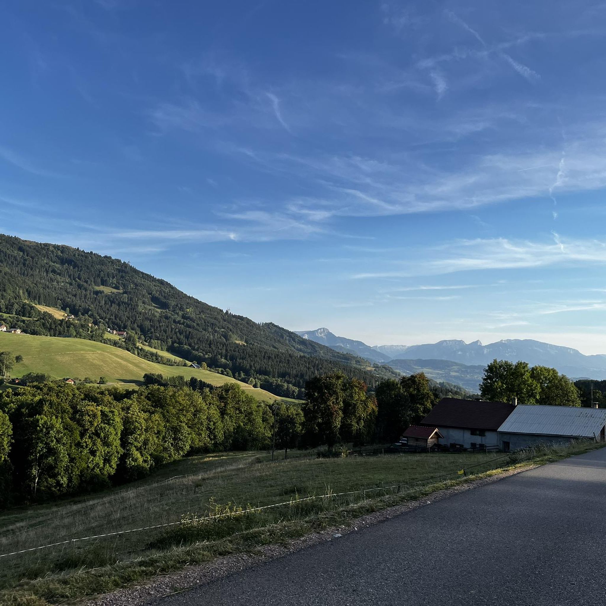
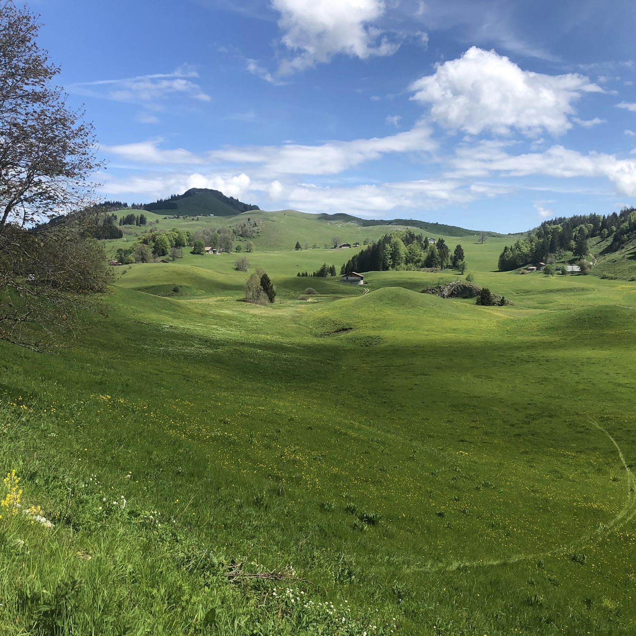
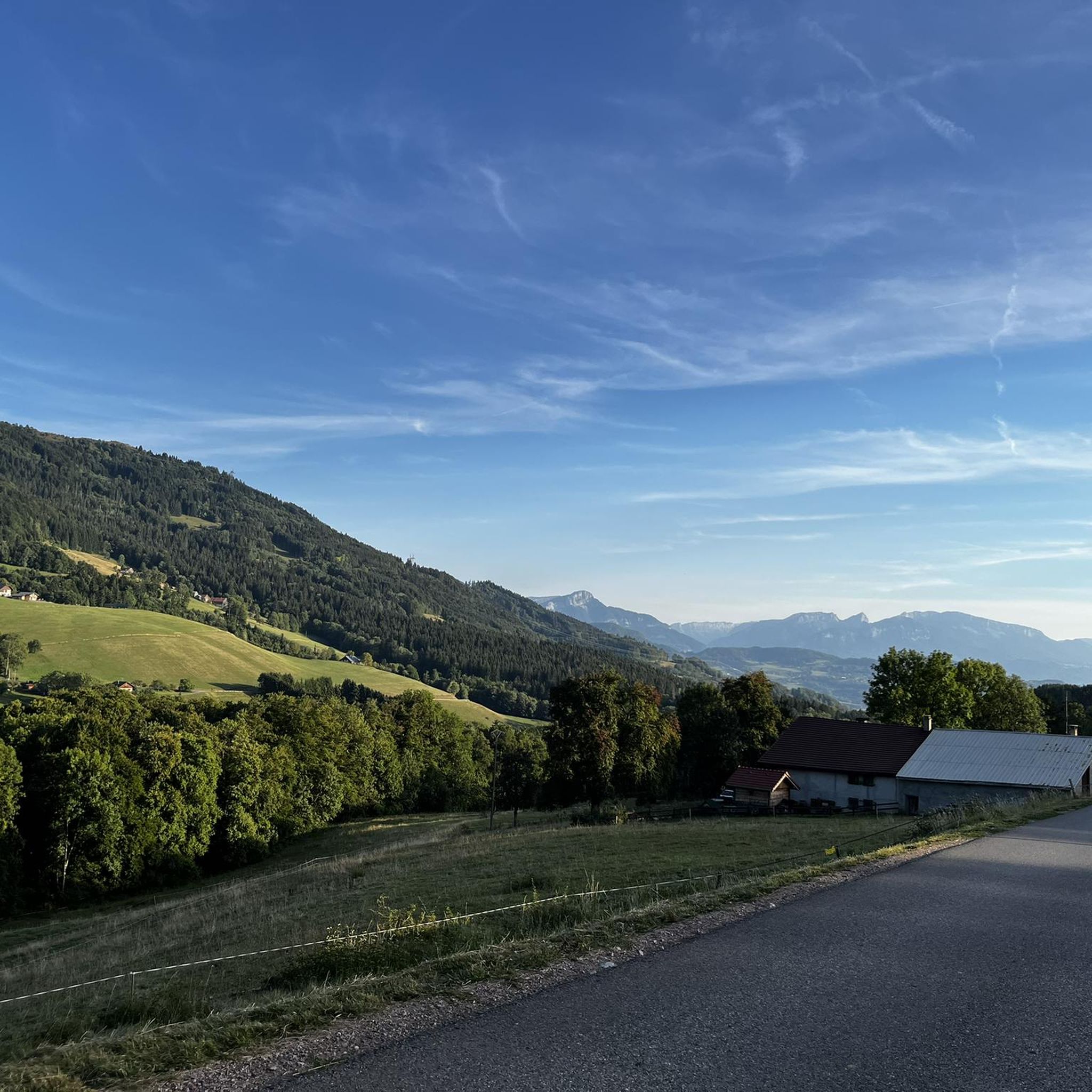
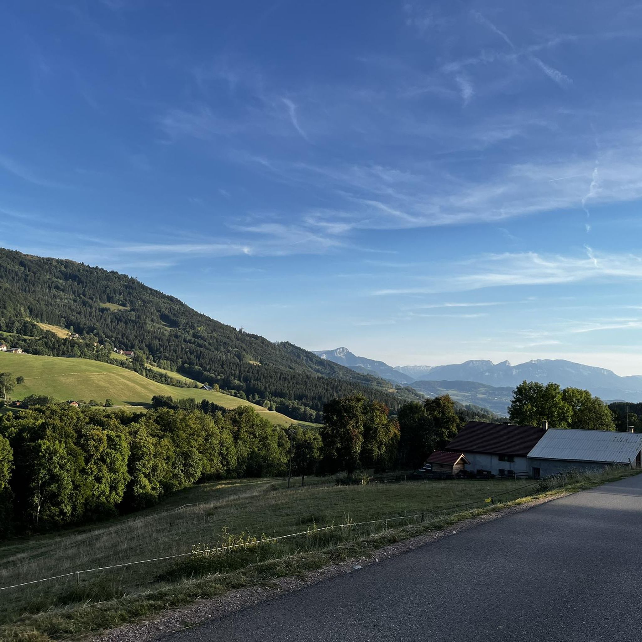

Tips from the Community

Very nice hike. It was quite crowded today. Contrary to what’s written in the description, I didn’t see any particularly risky passages
0
0


A beautiful pass, with beautiful landscapes. It's a must to do in the summer when the road is closed to cars, so you can really enjoy this climb 😉
1
0

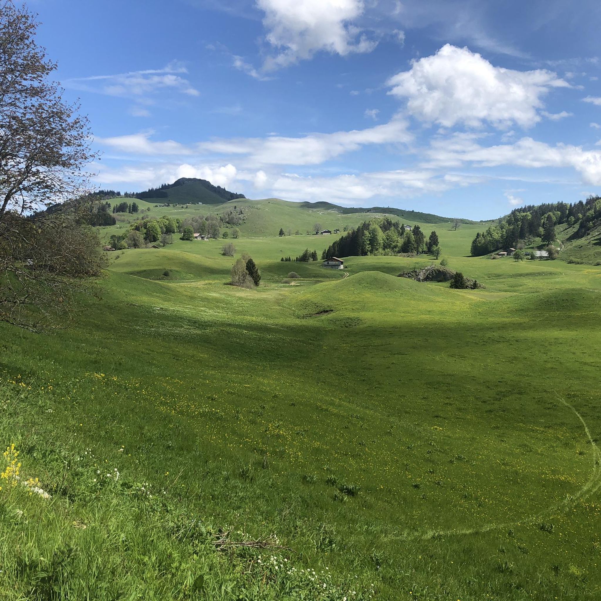
When you descend from Col de la Ramaz to Munes you will find yourself in a wonderfully beautiful hilly alpine meadow.
0
0

A difficult pass, but a magnificent view as a reward
0
0

As you climb the challenging Col de la Ramaz, you’ll be rewarded with breathtaking panoramic views of the surrounding mountains and valleys. This iconic climb, with its steep slopes and winding roads, is a must for any serious cyclist. As you push yourself to the limit, you’ll discover breathtaking views of snow-capped peaks, lush forests and picturesque villages.
1
0

Nice pass to do outside July and August to avoid motorhomes and motorbikes, very calm in autumn and spring!
2
0
Frequently Asked Questions
What kind of mountaineering routes can I expect around Bogève?
The Bogève area, nestled in the Haute-Savoie, is known for its challenging alpine terrain. You'll find routes with significant elevation gains, often exceeding 3,000 feet, requiring good fitness, sure-footedness, and alpine experience. While most routes are classified as moderate to difficult, they offer stunning panoramic views of the surrounding mountains, including Mont Blanc.
Are there any less demanding mountaineering routes for beginners in Bogève?
While Bogève is primarily known for its challenging mountaineering, some routes are classified as moderate. For example, the Col de Chalune loop from Praz de Lys Sommand is a moderate 7.2-mile (11.6 km) trail, and the Col de Cordon loop from Praz de Lys Sommand is another moderate option at 5.5 miles (8.8 km). These still require good physical condition but are less technically demanding than the most difficult ascents.
What are some of the more challenging mountaineering routes in the region?
For experienced mountaineers seeking a significant challenge, the Pointe de Chalune – Col de Foron loop from Lac de Vallon is a difficult 7.4-mile (11.9 km) path known for its demanding ascent and expansive mountain scenery. Another difficult option is the Petit Môle – Le Môle loop from Ayse, a 5.4-mile (8.7 km) trail featuring significant elevation changes and alpine views.
Are there any circular mountaineering trails around Bogève?
Yes, several routes in the area are circular, allowing you to start and finish at the same point. Popular circular options include the Col de Chalune loop from Praz de Lys Sommand, the Pointe de Chalune – Col de Foron loop from Lac de Vallon, and the Col de Cordon loop from Praz de Lys Sommand.
What natural features or landmarks can I see along the mountaineering routes?
The region is rich in natural beauty and notable landmarks. You can experience stunning panoramic views from points like Mount Forchat, which offers extensive vistas on clear days. Mountain passes like Col de Cou are also prominent features. The historic Chapelle Saint-Bruno, while not directly on a mountaineering route, provides breathtaking views of Lac de Vallon and the surrounding mountains.
What is the best time of year for mountaineering in Bogève?
The best time for mountaineering in Bogève is typically during the warmer months, from late spring to early autumn, when trails are clear of snow and weather conditions are more stable. However, the broader Haute-Savoie region also offers winter activities like alpine and cross-country skiing, so conditions vary significantly by season and altitude. Always check local weather and trail conditions before heading out.
Is Bogève suitable for family-friendly mountaineering?
Given that most mountaineering routes around Bogève are classified as moderate to difficult with significant elevation gains, they are generally more suited for families with older children who have hiking experience and good fitness. For younger children or less experienced families, it's advisable to seek out specific, shorter, and less strenuous hiking trails in the broader region, which might not be classified as mountaineering.
Are dogs allowed on the mountaineering trails in Bogève?
Regulations regarding dogs on trails can vary by specific area or protected natural zones. While many trails in France are dog-friendly, it's always best to check local signage at trailheads or consult with local tourist information centers for specific rules, especially concerning national parks or nature reserves. If dogs are permitted, they should generally be kept on a leash for their safety and to protect local wildlife.
Where can I find parking for mountaineering trails in Bogève?
Parking is typically available at common starting points for mountaineering routes. For example, routes often begin from villages like Ayse, Praz de Lys Sommand, or near Lac de Vallon. While specific parking details for each trailhead are not provided, these popular starting locations usually have designated areas for visitors. It's recommended to arrive early during peak season to secure a spot.
What do other mountaineers enjoy most about the routes in Bogève?
The mountaineering routes around Bogève are highly rated by the komoot community, with an average score of 4.6 stars from over 10 reviews. Mountaineers frequently praise the challenging alpine terrain, the rewarding panoramic viewpoints, and the diverse mountain passes that characterize the region. The sense of accomplishment after tackling significant elevation gains is also a common highlight.
Are there any cafes or places to eat near the mountaineering trails?
While specific cafes directly on the trails are rare, you will find options in the villages and towns that serve as starting points or are close to the routes, such as Bogève itself, Ayse, Praz de Lys Sommand, or Lac de Vallon. It's always a good idea to pack sufficient water and snacks for your mountaineering trip, as amenities might not be readily available on the higher sections of the trails.
Are there opportunities for guided alpine hikes in the Bogève region?
Yes, the broader Haute-Savoie region, including areas accessible from Bogève, offers opportunities for guided alpine hikes. For instance, nearby Megève is known for its access to the Mont Blanc region and provides various guided alpine hiking experiences. You can find more information on guided alpine hikes through local tourism offices or specialized mountain guiding services, such as those listed on Megeve Tourisme.
Most popular attractions around Bogève

Get inspired with the komoot mobile app


Explore more
Browse the best Mountain Hikes & Routes in other regions.
