The best running trails around Durrenbach
4.3
(61)
2,035
runners
16
runs
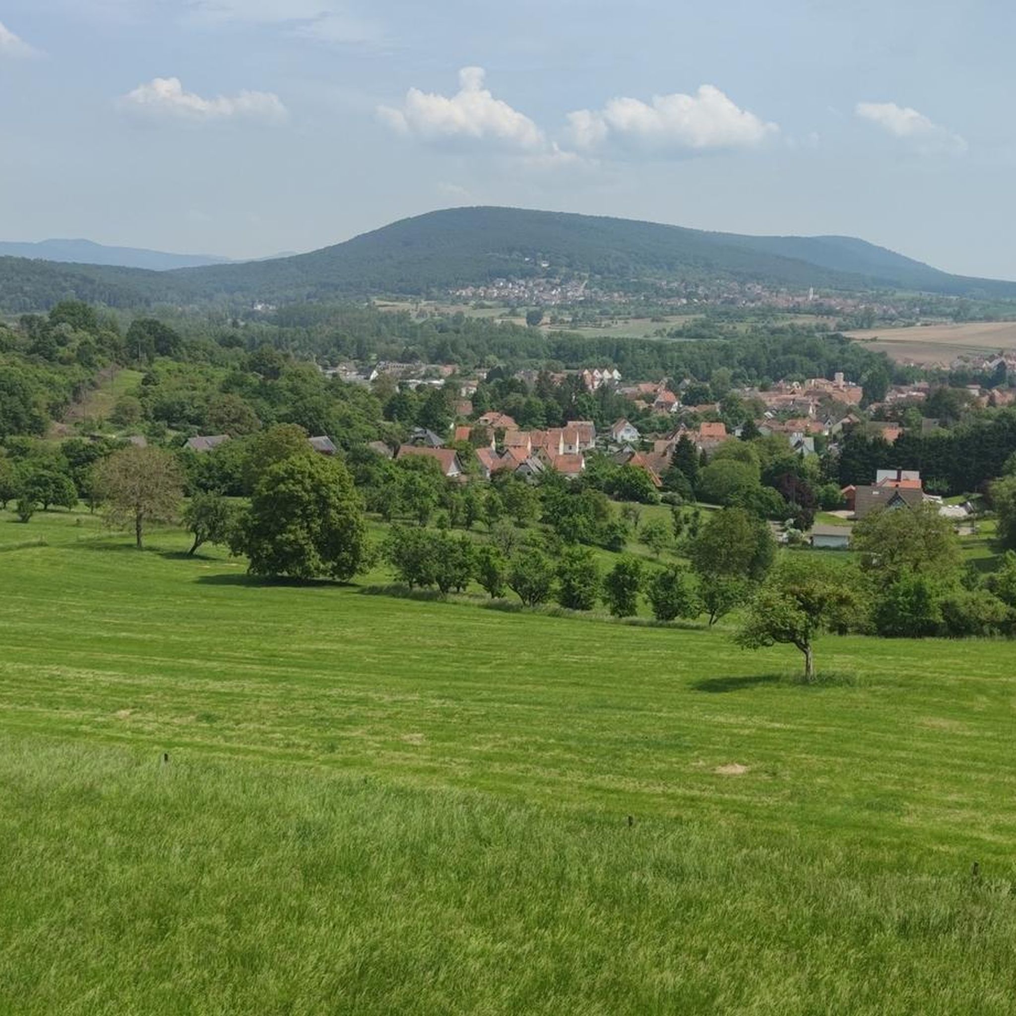
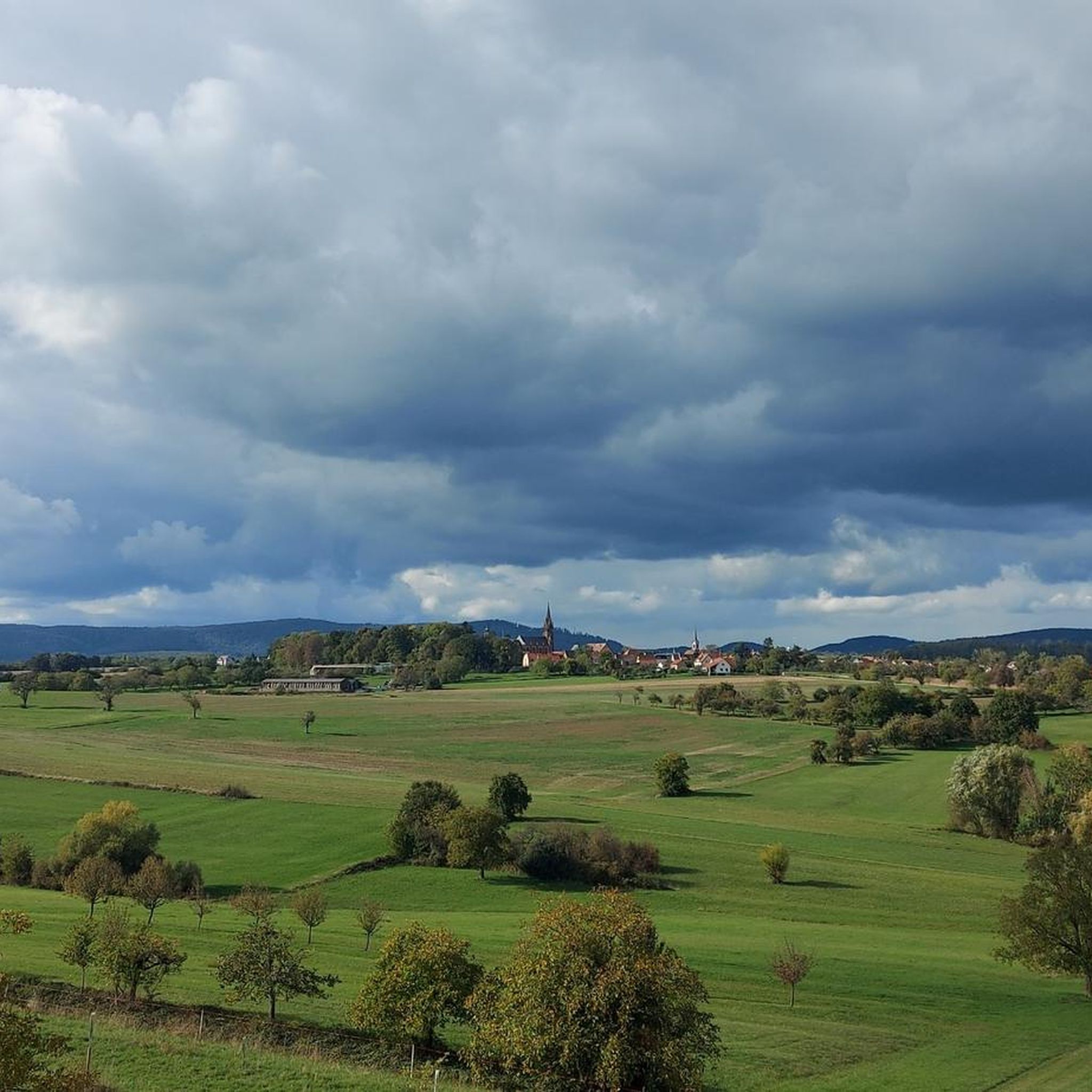
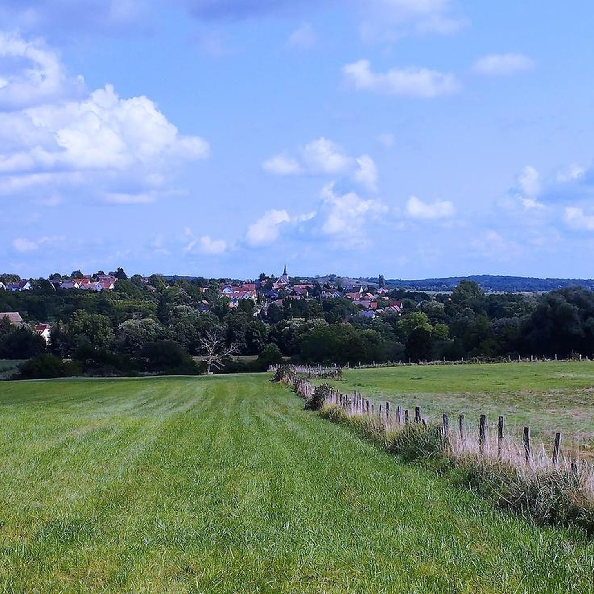
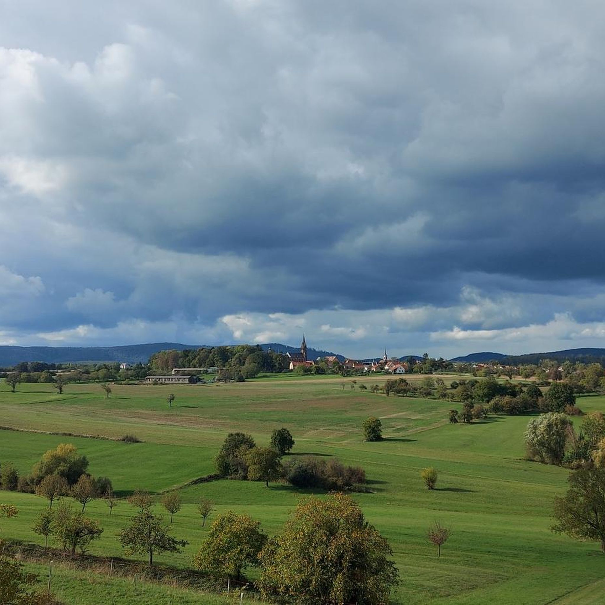
Jogging routes around Durrenbach traverse a landscape characterized by diverse trails, lush forests, and green spaces. The region is situated near the Northern Vosges Regional Nature Park, a UNESCO Biosphere Reserve, offering varied terrain for runners. Paths range from accessible, easy routes to more moderate options, often featuring gentle, easy-to-climb slopes. This area provides a serene environment for running, with routes that can include natural features like the Dürrenbach Spring.
Best jogging routes around Durrenbach
- The most popular jogging route…
Last updated: October 9, 2026
20
runners
9.84km
01:02
50m
50m
Moderate run. Good fitness required. Mostly paved surfaces. Suitable for all skill levels.
23
runners
7.72km
00:50
30m
30m
Moderate run. Good fitness required. Mostly paved surfaces. Suitable for all skill levels.

5.0
(2)
12
runners
Moderate run. Good fitness required. Mostly paved surfaces. Suitable for all skill levels.
14
runners
8.71km
00:57
80m
80m
Moderate run. Good fitness required. Mostly paved surfaces. Suitable for all skill levels.
10
runners
6.62km
00:41
30m
30m
Moderate run. Good fitness required. Mostly paved surfaces. Suitable for all skill levels.
Get access to more routes and recommendations from other explorers.
Already have an account?
Our route recommendations are based on thousands of hikes, rides, and runs completed by other people on komoot.
Start today with a free account
Your next adventure awaits.

Tips from the Community

Lion eats eagle on a spit. On the pedestal, plaques were obviously removed.
1
0


Here you can take a break
0
0
A very impressive lion in the landscape
1
0
Great view, interesting architecture.
1
0

Known to history as the Battle of Reichshoffen, it was actually the Battle of Froeschwiller. This memorial commemorates the soldiers who fell during this battle, famous for a series of charges by French cuirassiers (heavy cavalry).
2
0

The Abbey Church of Sainte-Walburge is one of the architectural gems of the Grand Est region. It bears witness to nearly nine centuries of history. Founded in the 7th century, this imposing church boasts a Gothic style. Its interior features remarkable stained-glass windows. A former spiritual and cultural center, it remains a must-see for history and heritage enthusiasts. Nestled in a lush green setting, it invites contemplation and discovery.
1
0
Frequently Asked Questions
How many running routes are available around Durrenbach?
There are over a dozen dedicated running routes around Durrenbach, offering a variety of experiences for different fitness levels. Most of these, 16 out of 17, are classified as moderate, with one easy option available.
What kind of terrain can I expect on jogging trails in Durrenbach?
Jogging routes in Durrenbach traverse diverse terrain, including lush forests and green spaces. Many paths feature gentle, easy-to-climb slopes, especially those near the Northern Vosges Regional Nature Park. You'll find a mix of accessible paths and more moderate options.
Are there any family-friendly running routes in the Durrenbach area?
While most routes are moderate, the region offers accessible paths suitable for various skill levels. For a pleasant outing, consider routes that follow flatter sections, such as those along the Sauer river. Always check the specific route details for elevation and surface to ensure it's suitable for your family's needs.
Can I bring my dog on the running trails around Durrenbach?
The natural environment around Durrenbach, with its forests and green spaces, is generally welcoming for dogs. However, it's always recommended to check local regulations for specific trails, especially within the Northern Vosges Regional Nature Park, and ensure your dog is kept on a leash where required. Many trails offer access to natural water sources like the Dürrenbach Spring.
What are some scenic viewpoints or landmarks I can see while jogging?
Many routes offer scenic views. For outstanding vistas of the Rhine plain and the Black Forest, consider a route that passes near the Soultzerkopf Hut. You might also encounter historical sites like the Saint Arbogast Chapel - Gros Chêne Inn or the Saint John Protestant Church, adding cultural interest to your run.
Are there any circular running routes available near Durrenbach?
Yes, many of the running routes around Durrenbach are designed as loops. For example, the Running loop from Durrenbach is a popular 9.8 km circular trail. Another option is the La Sauer – The Sauer at Biblisheim loop from Durrenbach, which offers a scenic 7.7 km run along the Sauer river.
What do other runners say about the jogging routes in Durrenbach?
The running routes in Durrenbach are highly rated by the komoot community, with an average score of 4.3 stars from over 40 reviews. More than 1700 runners have explored the varied terrain, often praising the serene environment and the diverse trail options.
Are there any longer running trails for more experienced runners?
For those looking for a longer run, the Elsasshausen Memorial Tower – View of Woerth loop from Morsbronn-les-Bains is a moderate 10.3 km trail with over 100 meters of elevation gain, offering a good challenge and rewarding views.
What is the best time of year for running in Durrenbach?
The region's lush forests and green spaces make it appealing for running throughout much of the year. Spring and autumn offer pleasant temperatures and beautiful scenery. Even in winter, many trails remain accessible, though conditions may vary, especially in the higher elevations of the Northern Vosges Regional Nature Park.
Are there any routes that follow rivers or offer waterside views?
Yes, the La Sauer – The Sauer at Biblisheim loop from Durrenbach and the Playground – The Sauer at Biblisheim loop from Morsbronn-les-Bains both follow the Sauer river, providing flat and scenic running experiences alongside the water.
How can I get to the running trails if I don't have a car?
While specific public transport options to every trailhead might vary, the broader Alsace region is known for its good outdoor infrastructure. Morsbronn-les-Bains, a nearby village that serves as a starting point for several routes like the Running loop from Morsbronn-les-Bains, may have public transport connections. It's advisable to check local bus or train schedules for connections to Durrenbach and surrounding villages.
Are there any easy running routes for beginners in Durrenbach?
Yes, there is one easy running route among the 17 available trails. While most are moderate, this easy option provides a good starting point for beginners or those looking for a less strenuous run. Always check the route details for specific distances and elevation profiles to match your fitness level.
Most popular routes around Durrenbach
Most popular attractions around Durrenbach

Get inspired with the komoot mobile app


Explore more
Browse the best Running Trails & Routes in other regions.
