The best mountain hikes around Romeyer
5.0
(3)
30
hikers
11
hikes
Mountaineering around Romeyer is characterized by its diverse mountainous terrain, featuring prominent passes and cols within the Vercors massif. The region offers a mix of challenging ascents and scenic loops through varied landscapes. Elevations range significantly, providing opportunities for both sustained climbs and more moderate routes.
Best mountaineering routes around Romeyer
- The most popular mountaineering route is Selle Pass loop from Richardière, a 9.8 miles (15.8 km) trail that takes 6 hours 55 minutes to complete, featuring significant elevation…
Last updated: June 22, 2026
5.0
(1)
9
hikers
16.9km
07:14
1,000m
1,000m
Hard mountaineering route. Very good fitness required. Sure-footedness, sturdy shoes and alpine experience required.
8
hikers
2.07km
01:07
170m
170m
Hard mountaineering route. Great for any fitness level. Sure-footedness, sturdy shoes and alpine experience required.

Sign up for free
5.0
(1)
5
hikers
20.6km
07:30
960m
960m
Hard mountaineering route. Very good fitness required. Sure-footedness, sturdy shoes and alpine experience required.
5.0
(1)
4
hikers
11.5km
03:55
560m
560m
Moderate mountaineering route. Good fitness required. Easily-accessible paths. Suitable for all skill levels.
4
hikers
20.0km
07:20
950m
950m
Hard mountaineering route. Very good fitness required. Sure-footedness, sturdy shoes and alpine experience required.
Get access to more routes and recommendations from other explorers.
Sign up for free
Already have an account?
Our route recommendations are based on thousands of hikes, rides, and runs completed by other people on komoot.
Start today with a free account
Your next adventure awaits.
Login or Signup
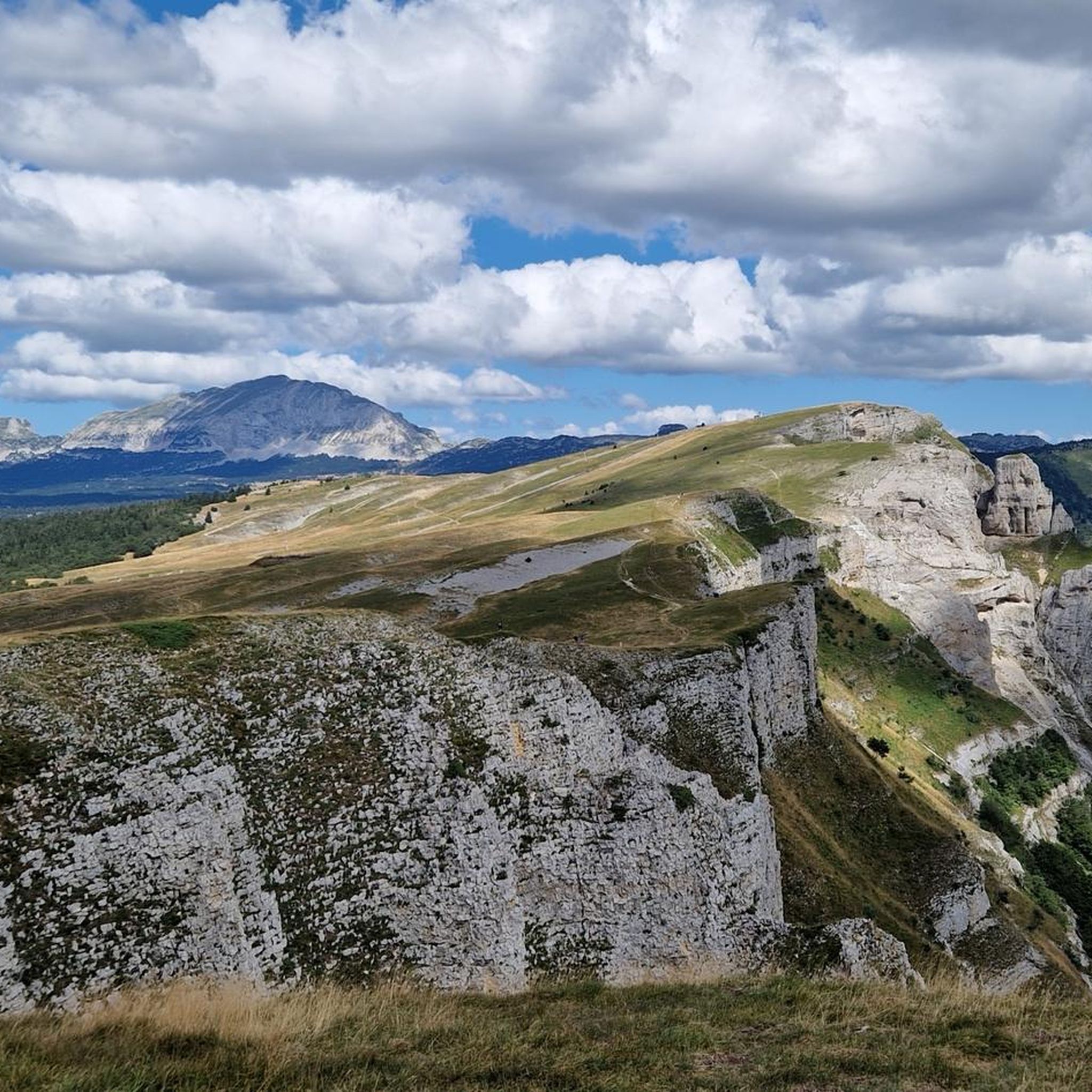
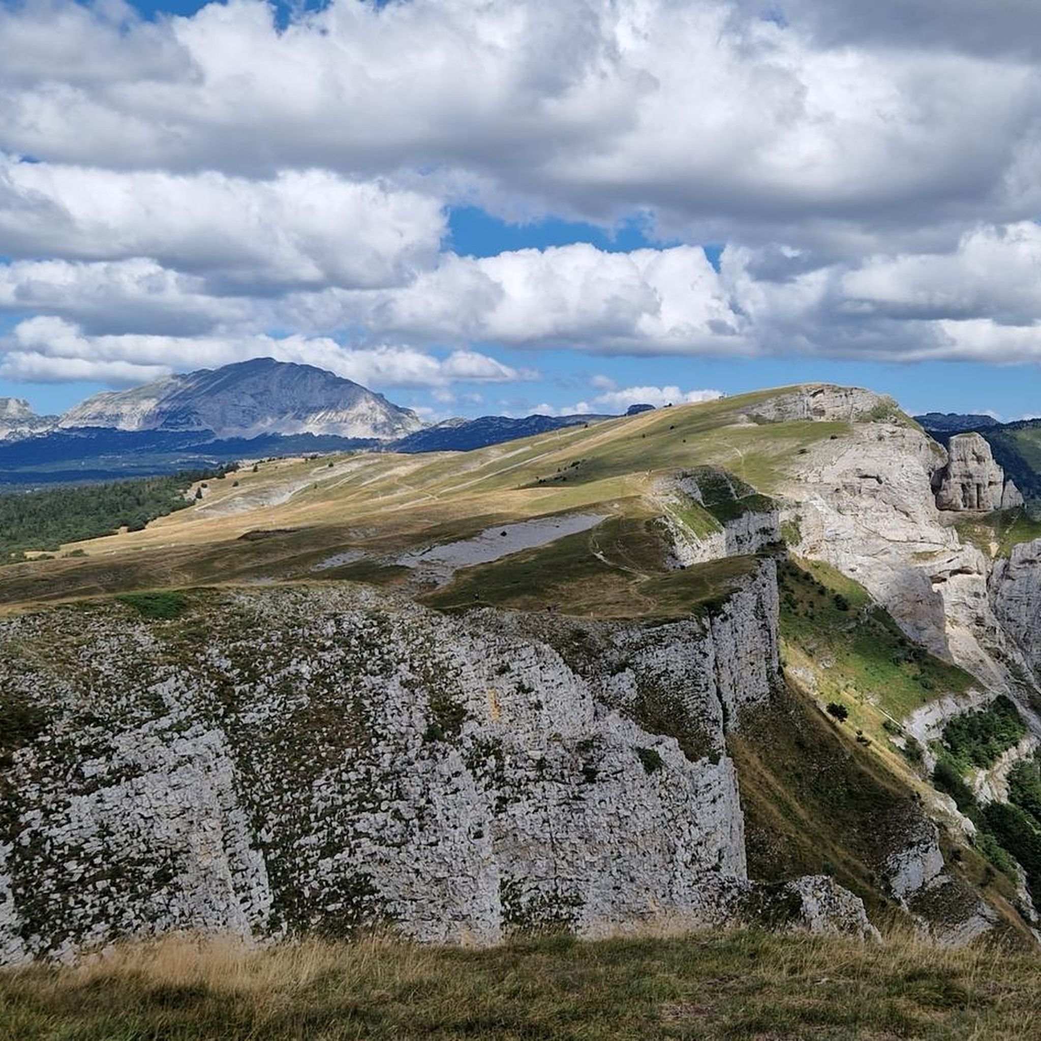
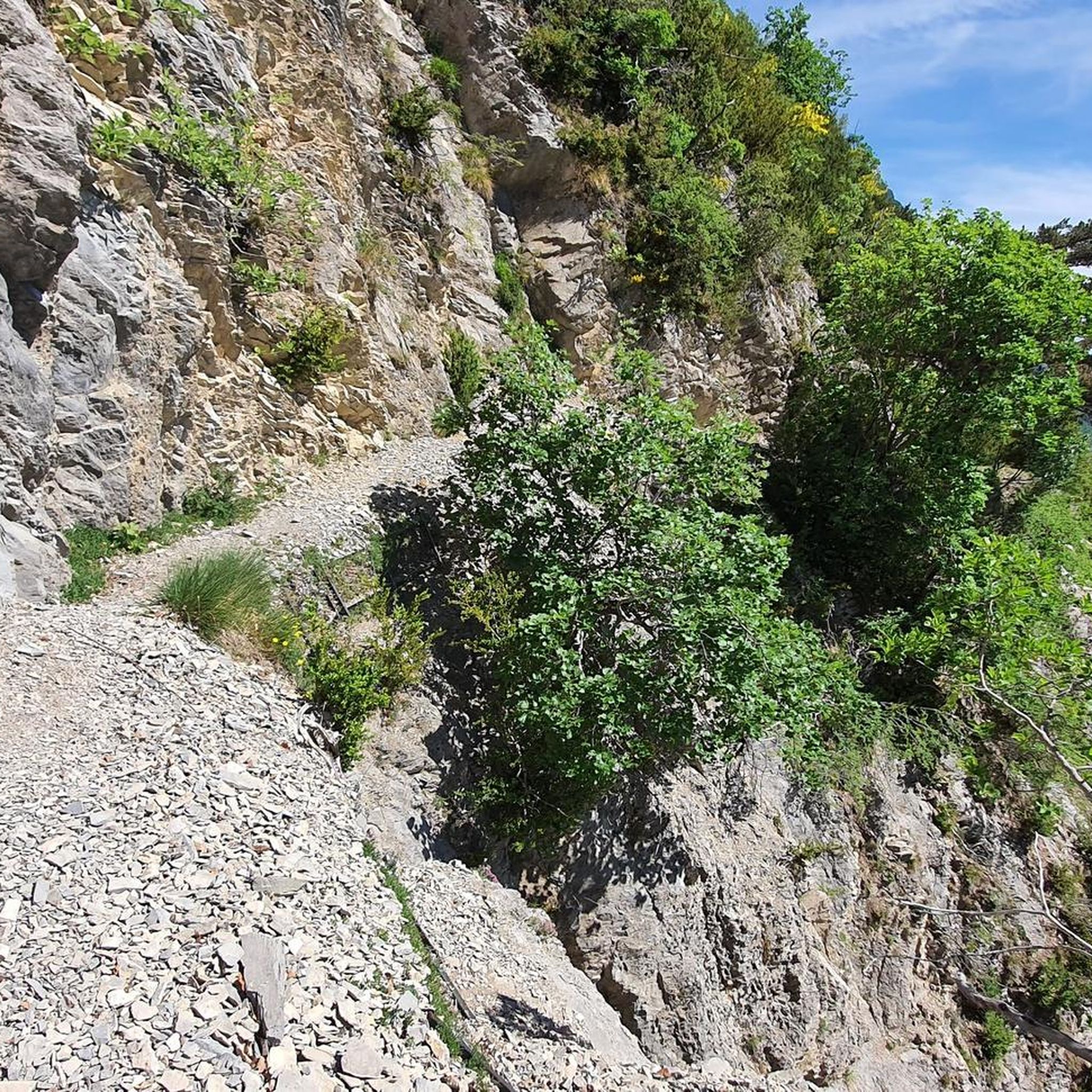
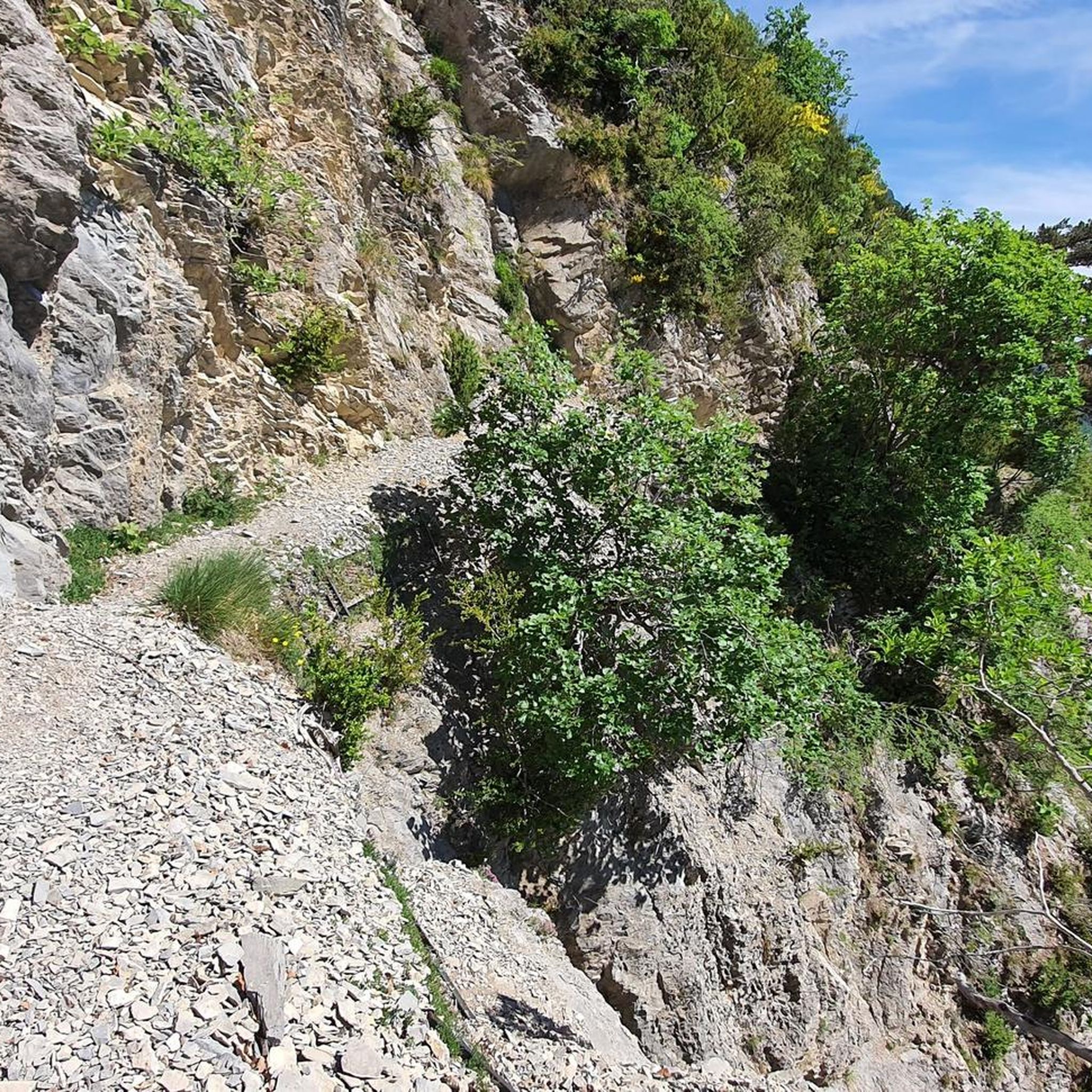
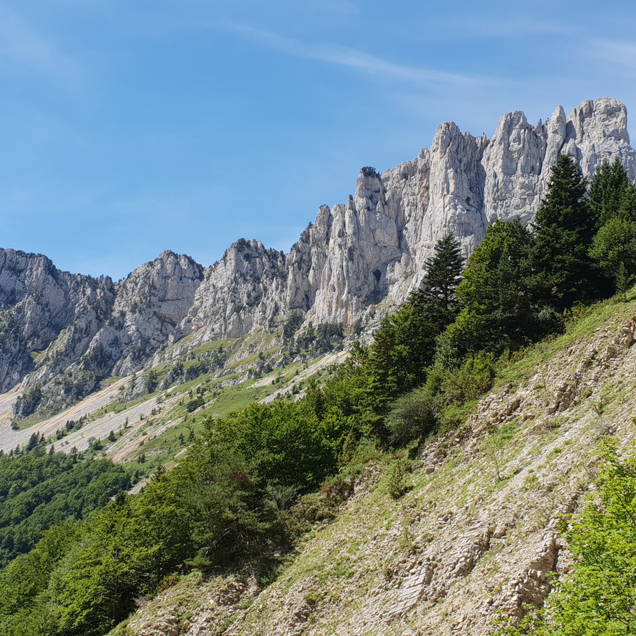
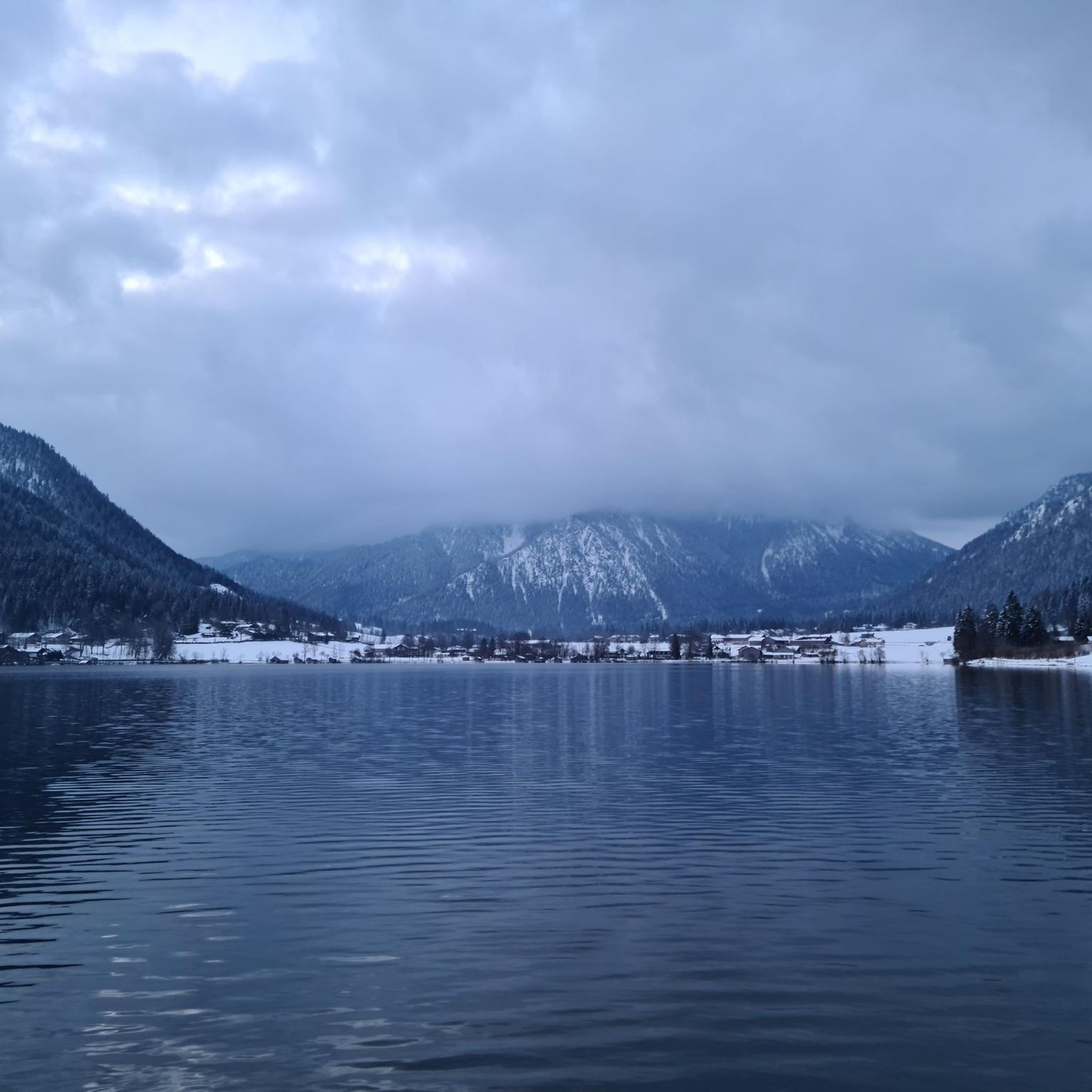
Tips from the Community


As pretty at the top as at the bottom, lots of ways to get to the top, accessible for all levels (not technical but lots of elevation gain depending on your starting point) but it's worth it!
1
0
Great view! And those on all sides, some areas where it is easier to get your hands on (over 100 meters) but nothing insurmountable! No dangerous areas!
0
0


Breathtaking view of the two very distinctive peaks.
1
0


Path is 30 cm wide. Next to it an abyss. Stay away if you suffer from vertigo.
0
0
hello, I am new to this site, Komoot announces 2 to 3 days to do this beautiful hike, is this real? or simply an error on their part? Sincerely
0
1
Frequently Asked Questions
What types of mountaineering routes can I expect around Romeyer?
The Romeyer area, situated within the Vercors massif, offers a diverse range of mountaineering experiences. You'll find routes characterized by significant elevation gains, leading to prominent mountain passes and cols. The terrain often features the distinctive limestone formations of the Vercors, providing both challenging ascents and scenic loops through varied landscapes.
Are there any easy mountaineering routes suitable for beginners in Romeyer?
The mountaineering routes around Romeyer are generally categorized as moderate to difficult. There are no routes specifically designated as 'easy' in this guide. For those new to mountaineering, we recommend starting with the moderate routes, such as the Die – Pas de Gralatte loop from Die, which still requires a good level of fitness and experience.
Which routes offer the most challenging mountaineering experiences near Romeyer?
For experienced mountaineers seeking a challenge, routes like the Grand Veymont – Pas de la Ville loop from Grotte de la Luire are highly recommended. This difficult 12.4-mile (20.0 km) path traverses high mountain terrain, including a major peak and a notable pass, demanding significant endurance and skill.
Can I find circular mountaineering routes in the Romeyer area?
Yes, many of the mountaineering routes around Romeyer are designed as loops, allowing you to start and finish at the same point. Examples include the popular Selle Pass loop from Richardière and the But Saint-Genix – Col de la Chau (1,447 m) loop from Musée de la Préhistoire de Vassieux-en-Vercors.
What are some of the most scenic viewpoints or landmarks I can encounter on these routes?
The Vercors massif offers numerous scenic spots. Along the routes, you might encounter breathtaking views from mountain passes like Col de l'Allimas or the Col de Rousset. The Grand Veymont summit also provides expansive panoramas of the surrounding landscape.
What do other mountaineers say about the routes in Romeyer?
The mountaineering routes in Romeyer are highly regarded by the komoot community, holding an average score of 5.0 stars from 7 reviews. Over 40 mountaineers have used komoot to explore this varied terrain, often praising the challenging ascents and the stunning natural beauty of the Vercors massif.
Are there any family-friendly mountaineering options around Romeyer?
Given the nature of mountaineering and the difficulty ratings of the routes (moderate to difficult), traditional 'family-friendly' options for young children are limited. However, families with older, experienced children who are accustomed to strenuous mountain hikes might enjoy some of the moderate loop trails, provided they are well-prepared and equipped.
What is the best time of year for mountaineering in Romeyer?
The best time for mountaineering in the Vercors massif around Romeyer is typically from late spring to early autumn (June to September). During these months, the weather is generally more stable, and snow has usually melted from higher elevations, making routes more accessible. Always check local weather forecasts and conditions before heading out.
What should I consider for winter mountaineering in Romeyer?
Winter mountaineering in Romeyer's Vercors massif can be challenging and requires specialized equipment and experience. Routes may be covered in snow and ice, necessitating the use of crampons, ice axes, and avalanche safety gear. Conditions can change rapidly, so it's crucial to consult local mountain guides or official weather and avalanche reports before attempting any winter ascents.
Are there any places to eat or drink near the mountaineering routes?
While specific cafes or pubs directly on the trails are rare, many mountaineering routes in the Romeyer area start or pass near villages and towns. For example, the Die – Pas de Gralatte loop begins in Die, where you can find various amenities. It's always advisable to carry sufficient food and water for your hike, as services might not be readily available on the mountain itself.
How many mountaineering routes are available in the Romeyer region?
There are over 10 distinct mountaineering routes detailed in this guide for the Romeyer region, offering a variety of distances and difficulty levels within the Vercors massif.
What kind of terrain defines mountaineering in Romeyer?
Mountaineering in Romeyer is primarily defined by the rugged and scenic Vercors massif. You'll encounter a mix of forested paths, rocky ascents, and open alpine meadows, often leading to high mountain passes and cols. The distinctive limestone geology of the region adds to the unique character of the trails.
Most popular routes around Romeyer
Most popular attractions around Romeyer

Get inspired with the komoot mobile app


Explore more
Browse the best Mountain Hikes & Routes in other regions.
