The best mountain hikes around La Chapelle-En-Vercors
5.0
(4)
32
hikers
8
hikes
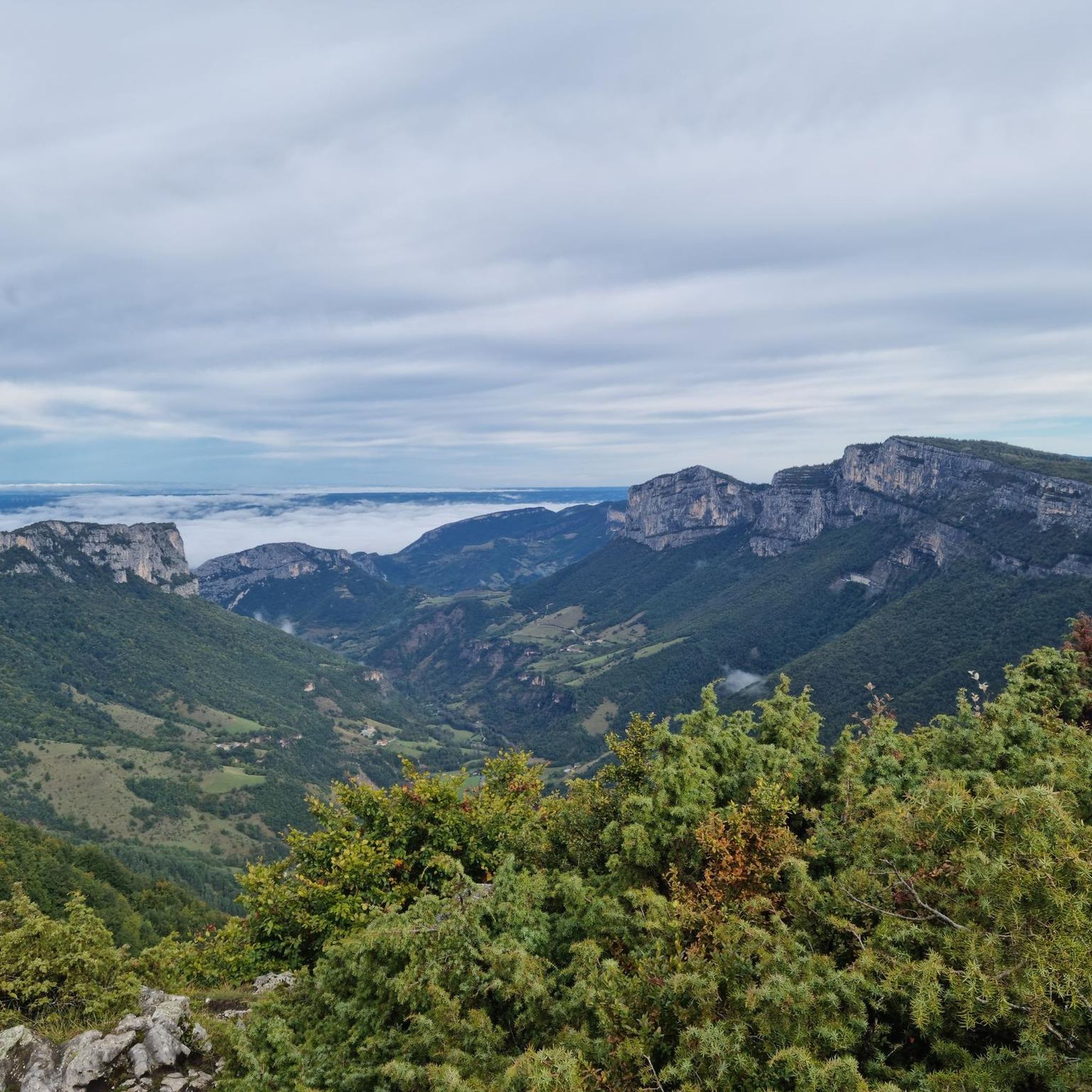
Mountaineering routes around La Chapelle-En-Vercors are situated within the Vercors Regional Natural Park, a region characterized by dramatic limestone cliffs, deep gorges, and expansive plateaus. This area, spanning the Drôme and Isère departments, offers a diverse terrain for outdoor activities. The landscape features lush forests, rolling mountain passes, and significant geological formations, including the "Hauts-Plateaux" nature reserve. These features provide varied challenges and scenic backdrops for mountaineering.
Best mountaineering routes around La Chapelle-En-Vercors
- The most popular mountaineering route is Scialet…
Last updated: August 29, 2026
11
hikers
10.3km
04:18
830m
830m
Moderate mountaineering route. Good fitness required. Mostly accessible paths. Sure-footedness required.
5.0
(2)
5
hikers
15.9km
08:03
1,270m
1,270m
Hard mountaineering route. Very good fitness required. Sure-footedness, sturdy shoes and alpine experience required.

Sign up for free
5.0
(1)
7
hikers
Hard mountaineering route. Very good fitness required. Mostly accessible paths. Sure-footedness required.
4
hikers
20.0km
07:20
950m
950m
Hard mountaineering route. Very good fitness required. Sure-footedness, sturdy shoes and alpine experience required.
5.0
(1)
3
hikers
Moderate mountaineering route. Good fitness required. Easily-accessible paths. Suitable for all skill levels.
Get access to more routes and recommendations from other explorers.
Sign up for free
Already have an account?
Our route recommendations are based on thousands of hikes, rides, and runs completed by other people on komoot.
Start today with a free account
Your next adventure awaits.
Login or Signup
Popular around La Chapelle-En-Vercors
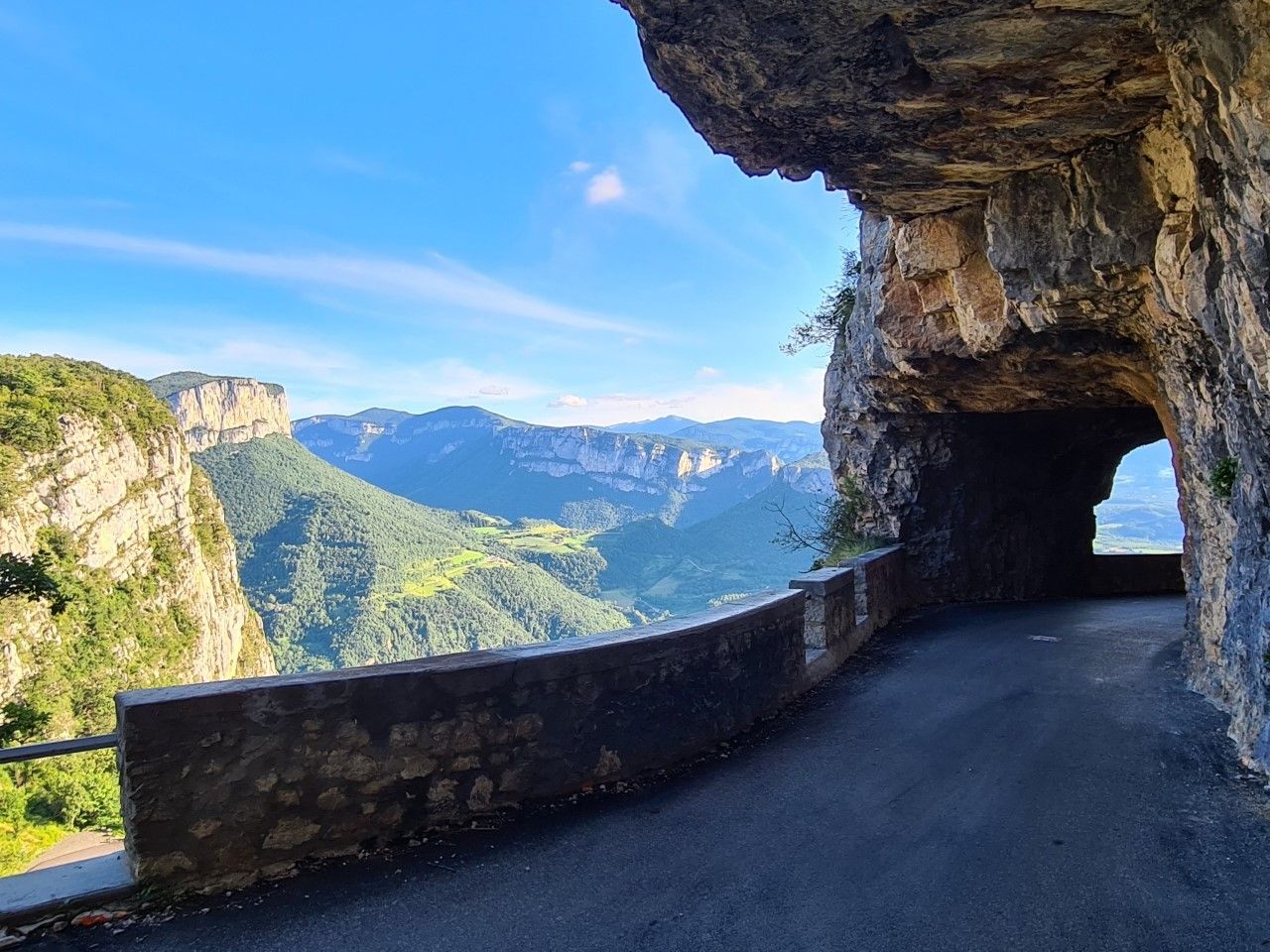
La Grande Traversée du Vercors — In the West of the Alps
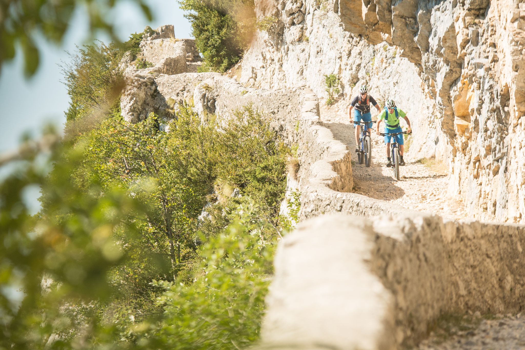
The Great Crossing of France’s Vercors mountains by MTB
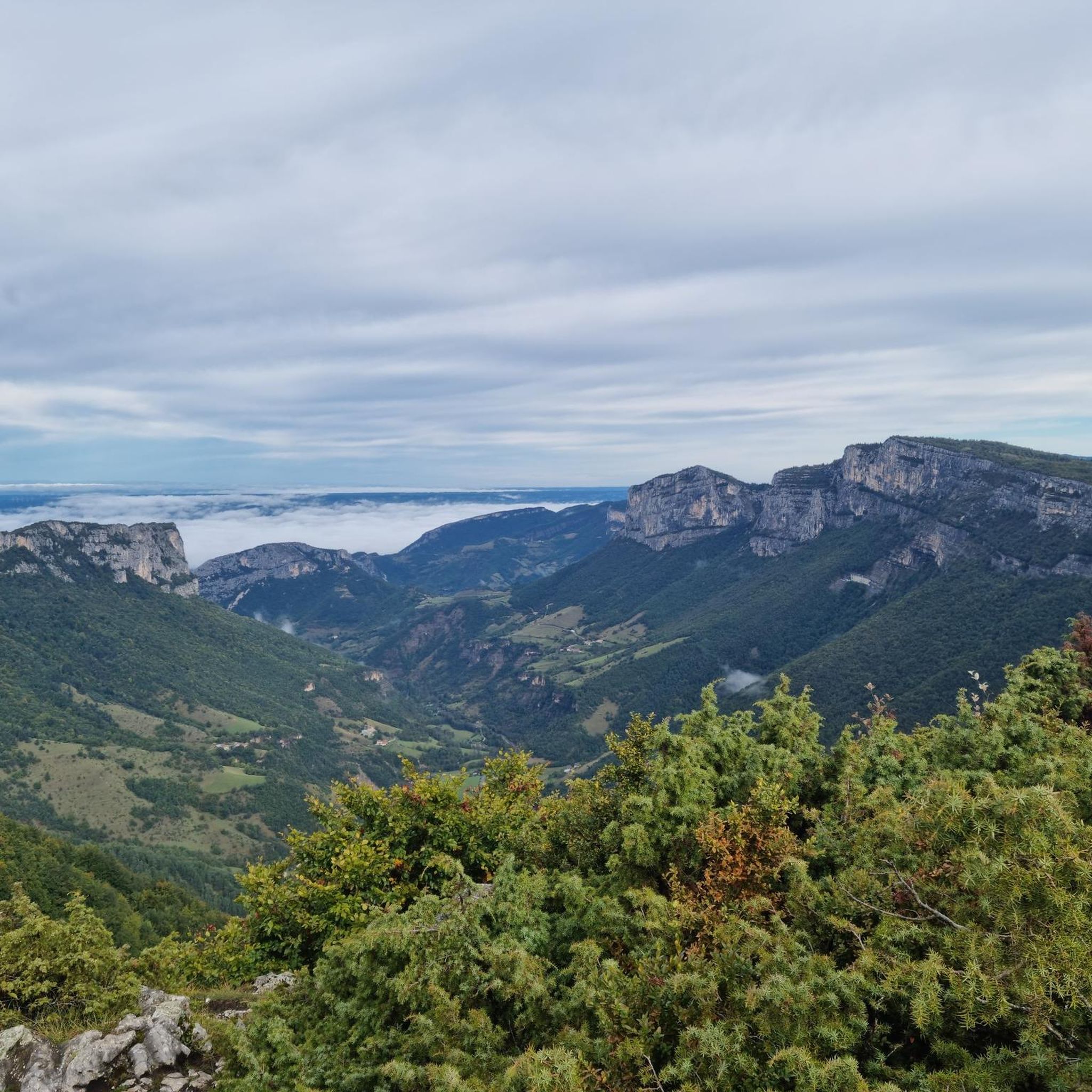
Hiking around La Chapelle-En-Vercors
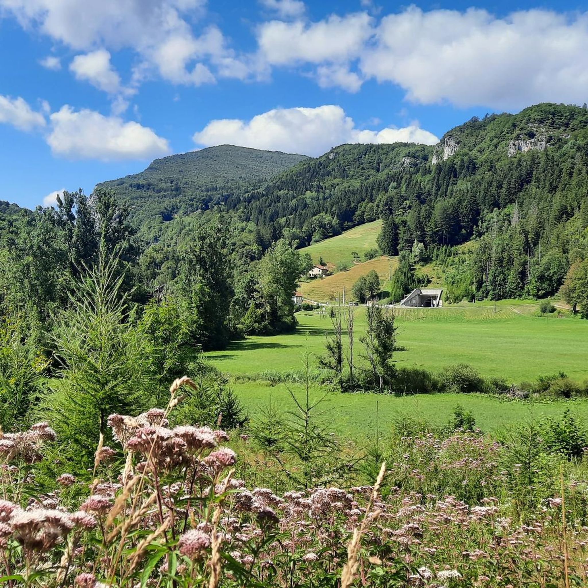
Road Cycling Routes around La Chapelle-En-Vercors
Cycling around La Chapelle-En-Vercors
MTB Trails around La Chapelle-En-Vercors
Running Trails around La Chapelle-En-Vercors

Gravel biking around La Chapelle-En-Vercors


Tips from the Community

Attention closed on weekdays in September
0
0

Breathtaking view, you never get tired of it!
0
0
Stunning view and perfectly marked trail. Remember to bring water, there are no springs on the plateau.
0
0

Bring enough water... only one water source on the loop.
0
0

Technical passage, stay focused and careful on the supports. Magnificent!
0
0
As pretty at the top as at the bottom, lots of ways to get to the top, accessible for all levels (not technical but lots of elevation gain depending on your starting point) but it's worth it!
1
0
Great view! And those on all sides, some areas where it is easier to get your hands on (over 100 meters) but nothing insurmountable! No dangerous areas!
0
0

Pleasant lunch break spot - swimming prohibited
0
0
Frequently Asked Questions
How many mountaineering routes are available around La Chapelle-En-Vercors?
There are over 10 dedicated mountaineering routes around La Chapelle-En-Vercors listed on komoot, offering a range of challenges for different skill levels. These routes are situated within the Vercors Regional Natural Park, known for its dramatic limestone cliffs and diverse terrain.
Are there any family-friendly mountaineering options in the Vercors?
While many mountaineering routes in the Vercors are challenging, some moderate options might be suitable for families with older, experienced children. For example, the Scialet des Pullis loop from Corrençon-en-Vercors is a moderate 9.6 km route that takes about 4 hours, offering scenic views without extreme technical difficulty. Always assess the specific route details and your family's experience level.
What kind of terrain can I expect on mountaineering routes in La Chapelle-En-Vercors?
Mountaineering in La Chapelle-En-Vercors is characterized by impressive limestone cliffs, dense forests, and high plateaus. The Vercors Regional Natural Park features a dramatic and varied terrain, including deep gorges like the Gorges de la Bourne, and the expansive 'Hauts-Plateaux' nature reserve. You'll encounter a mix of rocky paths, forest trails, and open mountain landscapes.
Are there any circular mountaineering trails available?
Yes, many of the mountaineering routes in the region are designed as circular trails, allowing you to start and end at the same point. Examples include the Tête des Chaudières – Pas de la Balme loop from Corrençon-en-Vercors, a challenging 11.4 km route, and the La Moucherolle Lake – Lac des Prés loop from Piste olympique de luge de Villard-de-Lans, which is 14.6 km long.
What are some of the more challenging mountaineering routes in the area?
For experienced mountaineers seeking a challenge, routes like the Highly technical passage loop from Château-Bernard offer significant elevation gain over 15.8 km. Another demanding option is the Grand Veymont – Pas de la Ville loop from Grotte de la Luire, which covers nearly 20 km and ascends to the highest peak in the Massif du Vercors.
What do other mountaineers enjoy most about the routes in La Chapelle-En-Vercors?
The mountaineering routes around La Chapelle-En-Vercors are highly rated by the komoot community, with an average score of 5.0 stars. Reviewers often praise the varied terrain, the dramatic limestone cliffs, and the sense of wilderness found within the Vercors Regional Natural Park. The region's geological diversity and rich biodiversity are frequently highlighted.
Are there any notable natural attractions or landmarks to see along the routes?
The Vercors is rich in natural wonders. You might encounter impressive geological formations like the Combe Laval Cirque, known for its dizzying views. The region is also home to numerous caves and underground cavities, such as the Moulin Marquis Spring. Additionally, several beautiful waterfalls are nearby, including the White Waterfall and the Pont-en-Royans Waterfalls.
What is the best season for mountaineering in the Vercors?
The Vercors Regional Natural Park offers mountaineering opportunities across different seasons. While summer provides generally stable weather for high-altitude routes, spring and autumn can offer pleasant temperatures and vibrant scenery. Winter mountaineering is also possible, but requires specialized equipment and experience due to snow and ice conditions. Always check local weather forecasts and trail conditions before heading out.
Are there any historical sites or cultural attractions near the mountaineering trails?
Beyond its natural beauty, the Vercors region holds significant historical importance as a stronghold of the French Resistance during World War II. While not directly on the mountaineering trails, various memorials and museums dedicated to this period can be explored in the wider area. Charming nearby villages like Saint-Antoine-l'Abbaye and Pont-en-Royans also offer cultural insights and local delicacies.
Where can I find information about mountain passes in the Vercors?
The Vercors is famous for its scenic mountain passes. You can find information on passes like Machine Pass and Col de l'Arzelier. These passes often serve as access points or offer spectacular views along mountaineering routes.
What are the typical difficulty levels for mountaineering routes in this region?
The mountaineering routes around La Chapelle-En-Vercors are generally categorized as moderate to difficult. Approximately half of the routes are considered moderate, while the other half are difficult, featuring challenging terrain and significant elevation changes. This range ensures options for both experienced mountaineers and those looking for a substantial but manageable adventure.
Most popular routes around La Chapelle-En-Vercors
Most popular attractions around La Chapelle-En-Vercors

Get inspired with the komoot mobile app


Explore more
Browse the best Mountain Hikes & Routes in other regions.
