The best mountain hikes around Igantzi
5.0
(3)
18
hikers
5
hikes
Mountaineering routes around Igantzi, nestled in Spain's Navarra region, traverse diverse landscapes characterized by significant mountain peaks and extensive natural parks. The area features prominent summits like Ibanteli and Mendaur, offering panoramic views of the Basque countryside and the Pyrenees. Dense forests, including the unique European hornbeam forest in San Juan Xar Natural Reserve, define many of the trails. This varied terrain provides a range of mountaineering experiences, from challenging ascents to longer, demanding routes.
Best mountaineering routes around Igantzi
…Last updated: October 9, 2026
6
hikers
11.0km
04:25
530m
530m
Moderate mountaineering route. Good fitness required. Mostly accessible paths. Sure-footedness required.
4
hikers
16.3km
06:13
960m
960m
Hard mountaineering route. Very good fitness required. Mostly accessible paths. Sure-footedness required.

5.0
(1)
2
hikers
14.5km
05:07
760m
760m
Hard mountaineering route. Very good fitness required. Mostly accessible paths. Sure-footedness required.
5.0
(1)
2
hikers
9.32km
04:01
640m
640m
Moderate mountaineering route. Good fitness required. Mostly accessible paths. Sure-footedness required.
1
hikers
12.0km
03:50
480m
470m
Moderate mountaineering route. Good fitness required. Easily-accessible paths. Suitable for all skill levels.
Our route recommendations are based on thousands of hikes, rides, and runs completed by other people on komoot.
Start today with a free account
Your next adventure awaits.
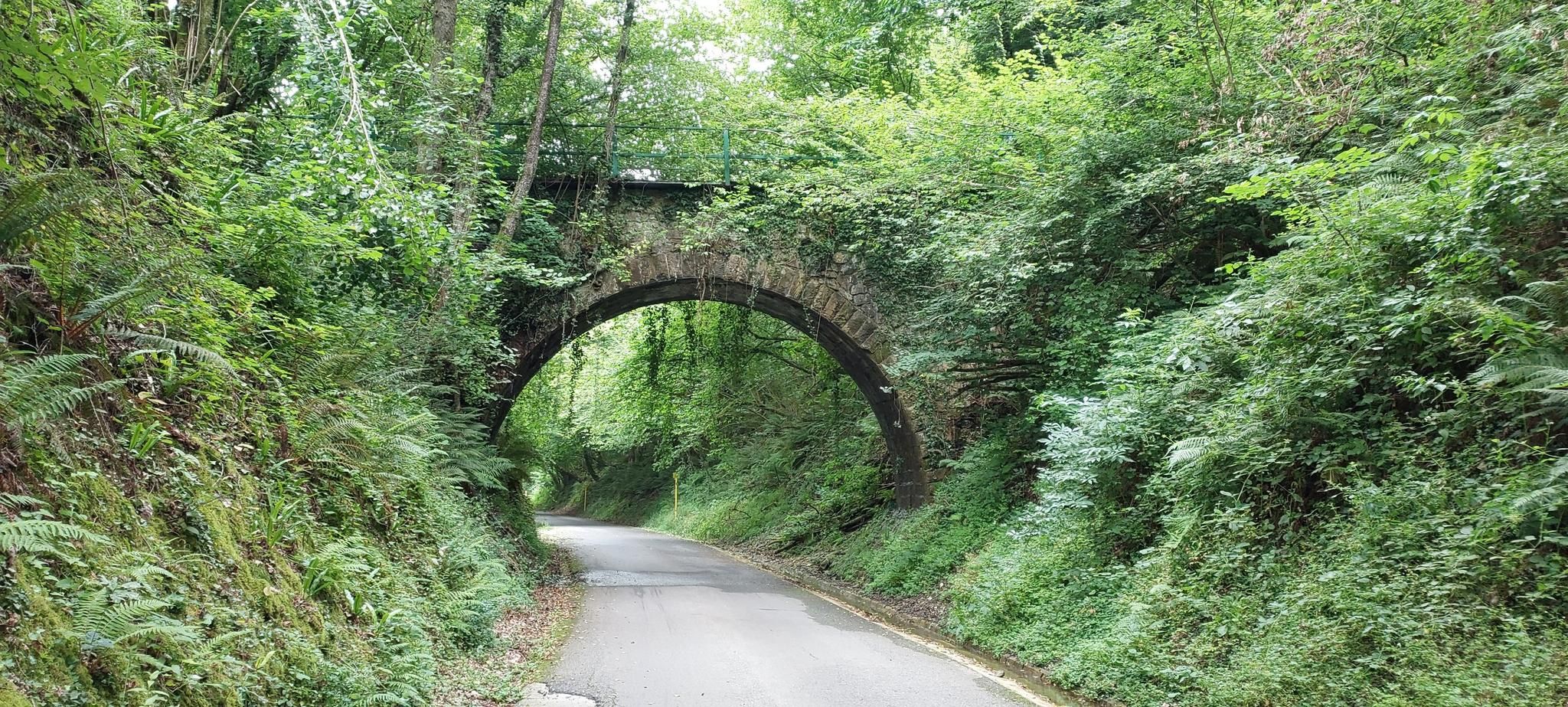
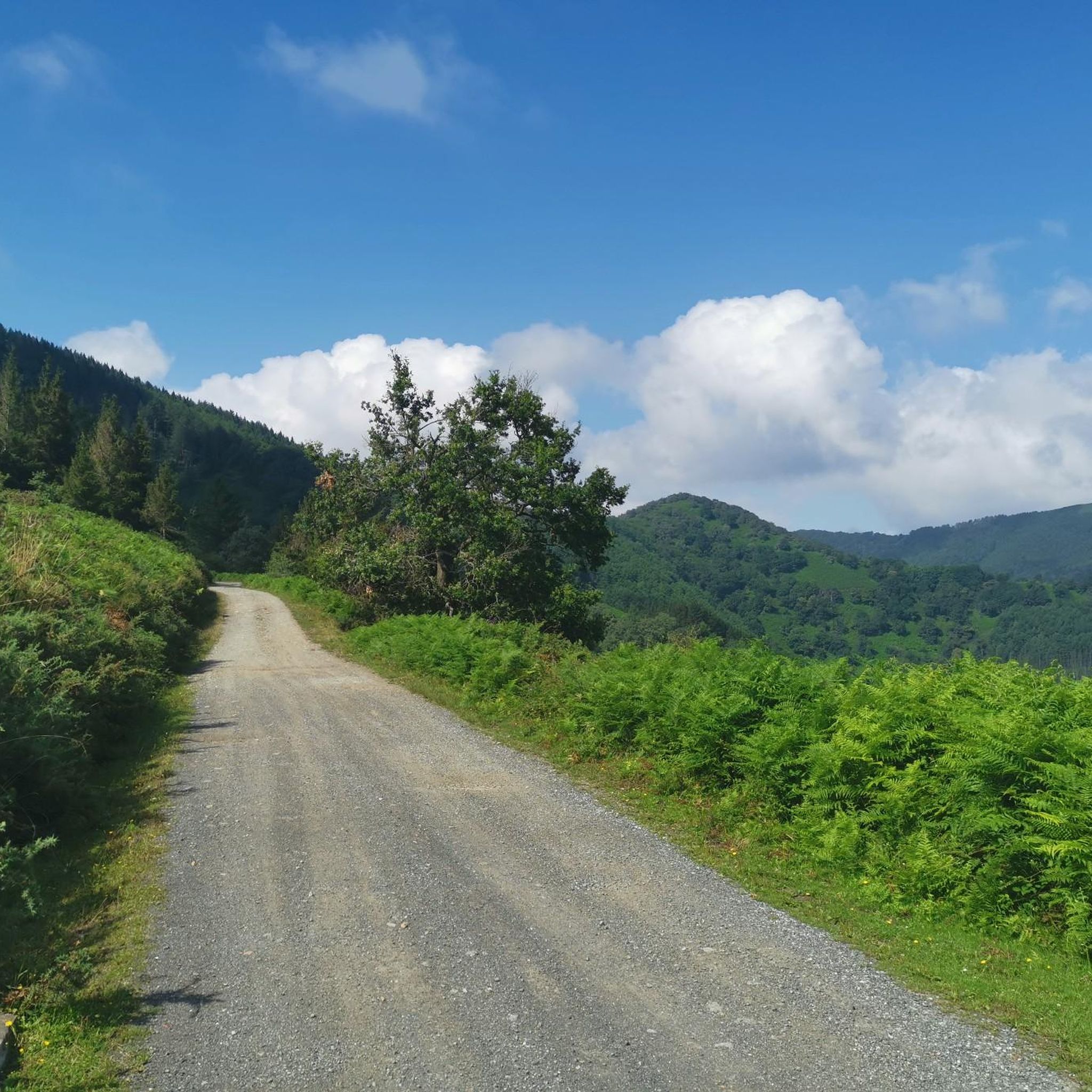
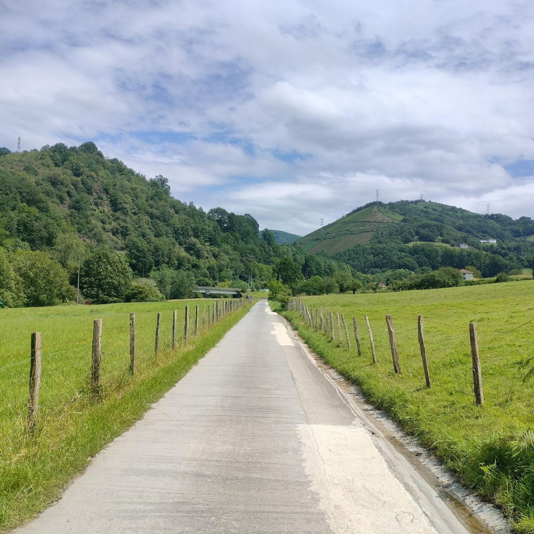
Other adventures around Igantzi

Tips from the Community

This is a great rest area where the Pyrenees HRP / GR11 trail intersects with a drivable road. There are two bars available, though only one is open in the morning, the second seems more geared towards the dinner crowd. They serve both food and drinks, but be warned: *payment is cash only* as they do not accept cards (information accurate as of 2026). Because of the easy road access, it's a lively spot where hikers and cyclists often cross paths. Best of all, right next to the road, there is a highly convenient drinking water fountain and public restrooms. Definitely a useful waypoint on the trail!
1
0

Near the end of the stream section, the concrete blocks covering the stream are as of September 2025 completely missing, leaving you two options forward: 1) walk on a 20cm wide path right next to a big cliff, 2) walk inside of the stream bed, knee-deep in water. We decided to turn back because it did not seem safe for us. Caution recommended!
1
0

People suffering from vertigo should avoid... It's not wide at all in places.
0
0

Route through the forest that connects the Elurretxe and Aritxulegi hills
0
0
A beautiful panoramic view that allows you to see the west face of Aiako Harria and the Arditurri valley
0
0

Beautiful hiking route claiming the Endara Valley surrounded by dense forests and streams on the eastern slope of the Aiako Harria massif.
1
0
The trail passes through this charming Japanese larch forest. Magnificent giants that cast shadows on the path.
0
0
Frequently Asked Questions
What types of mountaineering routes can I find around Igantzi?
Igantzi offers a range of mountaineering experiences, primarily featuring moderate to difficult routes. You'll find trails that traverse diverse landscapes, including significant mountain peaks and dense woodlands. For example, the Aritxulegi loop from Lasaingana is a moderate option, while routes like Txurrumurru Summit Sculpture loop from Endara present a more challenging ascent.
Are there any family-friendly mountaineering options in the Igantzi area?
While the mountaineering routes listed in this guide are generally moderate to difficult, the broader Igantzi region offers easier walks suitable for families. For instance, the 'River Trail' is an easy, family-friendly route perfect for birdwatching and observing native vegetation. The Ibanteli mountain also has routes with breathtaking 360° panoramas that can be approached with varying difficulty levels.
Can I find circular mountaineering routes around Igantzi?
Yes, many of the mountaineering routes around Igantzi are designed as loops, allowing you to start and end at the same point. Examples include the challenging Txurrumurru Summit Sculpture loop from Endara, the moderate Aritxulegi loop from Lasaingana, and the longer Mendieder – Mairubaratzeta loop from Arantza.
What natural landmarks or viewpoints can I expect to see on these routes?
The Igantzi region is rich in natural landmarks and offers spectacular viewpoints. You can expect panoramic views of the Basque countryside, the ocean, and the Pyrenees from peaks like Ibanteli. The La Rhune summit is another prominent feature. The area also includes the unique San Juan Xar Natural Reserve, home to native European hornbeams and ancient trees, with a walk leading to a cave-hermitage and natural springs.
Are there any specific natural parks or reserves to explore near Igantzi?
Absolutely. Just a few kilometers from Igantzi is the Aiako Harria Natural Park, which offers numerous hiking opportunities and showcases significant biological diversity and unique rock formations. Additionally, the San Juan Xar Natural Reserve is notable for preserving the only native forest of European hornbeams on the Iberian Peninsula, alongside ancient chestnut, maple, oak, and ash trees.
What do other mountaineers say about the routes in Igantzi?
The mountaineering routes around Igantzi are highly regarded by the komoot community, with an average score of 5.0 stars from several reviews. Over 30 mountaineers have used komoot to explore this varied terrain, often praising the challenging ascents and the stunning panoramic views from the summits.
Are there any routes that offer views of lakes or waterfalls?
Yes, the surroundings of Igantzi include scenic natural monuments like lakes. Lake Xoldokogaina (also known as Lake Ibardin), situated at 330 meters in the Arola Valley, offers beautiful views of the Basque coast and the surrounding mountains. While specific mountaineering routes in this guide don't explicitly mention waterfalls, the region's diverse terrain suggests opportunities for scenic water features.
What is the best time of year for mountaineering in Igantzi?
The diverse landscapes of Igantzi make it suitable for mountaineering across various seasons. However, for the most pleasant conditions and clear views, spring and autumn are generally ideal, offering moderate temperatures and vibrant scenery. Summer can also be excellent, especially for higher elevations, but be prepared for warmer weather.
Are there any shorter, yet challenging, mountaineering routes available?
Yes, if you're looking for a challenging route that can be completed in a shorter timeframe, consider the Putzuetako gaina loop from Lasaingana. This route is classified as difficult, covers approximately 3.9 km, and involves significant elevation gain, making it a rewarding option for experienced mountaineers seeking a quicker ascent.
What are some of the prominent mountain passes in the Igantzi area?
The Igantzi region is home to several notable mountain passes that offer strategic viewpoints and connect different areas. Key passes include the Col des Trois Fontaines, Col de Descarga Haundi, Col Lizuniaga, and Col de Lizarrieta. The Ibardin Pass, marking the French-Spanish border, is particularly known for its exceptional views of both the Spanish and French Pyrenees.
Are there any archaeological sites or historical points of interest along the routes?
Yes, some trails in the Igantzi area offer glimpses into the region's history. For example, the hike to Zentinela from the Lizarieta Pass not only provides superb views but also passes through an archaeological site, adding a cultural dimension to your mountaineering experience.
Most popular routes around Igantzi
Most popular attractions around Igantzi

Get inspired with the komoot mobile app


Explore more
Browse the best Mountain Hikes & Routes in other regions.
