The best mountain hikes around Montereale Valcellina
4.0
(2)
15
hikers
3
hikes
Mountaineering routes around Montereale Valcellina are situated at the gateway to Valcellina, connecting the Pordenone plain to the foothills of the Friulian Dolomites, a UNESCO World Heritage Site. The region is characterized by prominent peaks like Monte Castello, Monte Fara, and Monte Spia, alongside the impressive Cellina Gorge Nature Reserve. Diverse ecosystems, including extensive forests, alpine meadows, and unique steppe environments, define the landscape, offering varied terrain for ascents and explorations.
Best mountaineering routes around Montereale Valcellina
- The most popular…
Last updated: July 4, 2026
3.0
(1)
13
hikers
7.98km
06:41
910m
910m
Hard mountaineering route. Very good fitness required. Sure-footedness, sturdy shoes and alpine experience required.
5.0
(1)
1
hikers
7.69km
03:40
620m
620m
Moderate mountaineering route. Good fitness required. Mostly accessible paths. Sure-footedness required.

Sign up for free
1
hikers
13.0km
06:58
1,030m
1,030m
Hard mountaineering route. Very good fitness required. Sure-footedness, sturdy shoes and alpine experience required.
Our route recommendations are based on thousands of hikes, rides, and runs completed by other people on komoot.
Start today with a free account
Your next adventure awaits.
Login or Signup
Popular around Montereale Valcellina
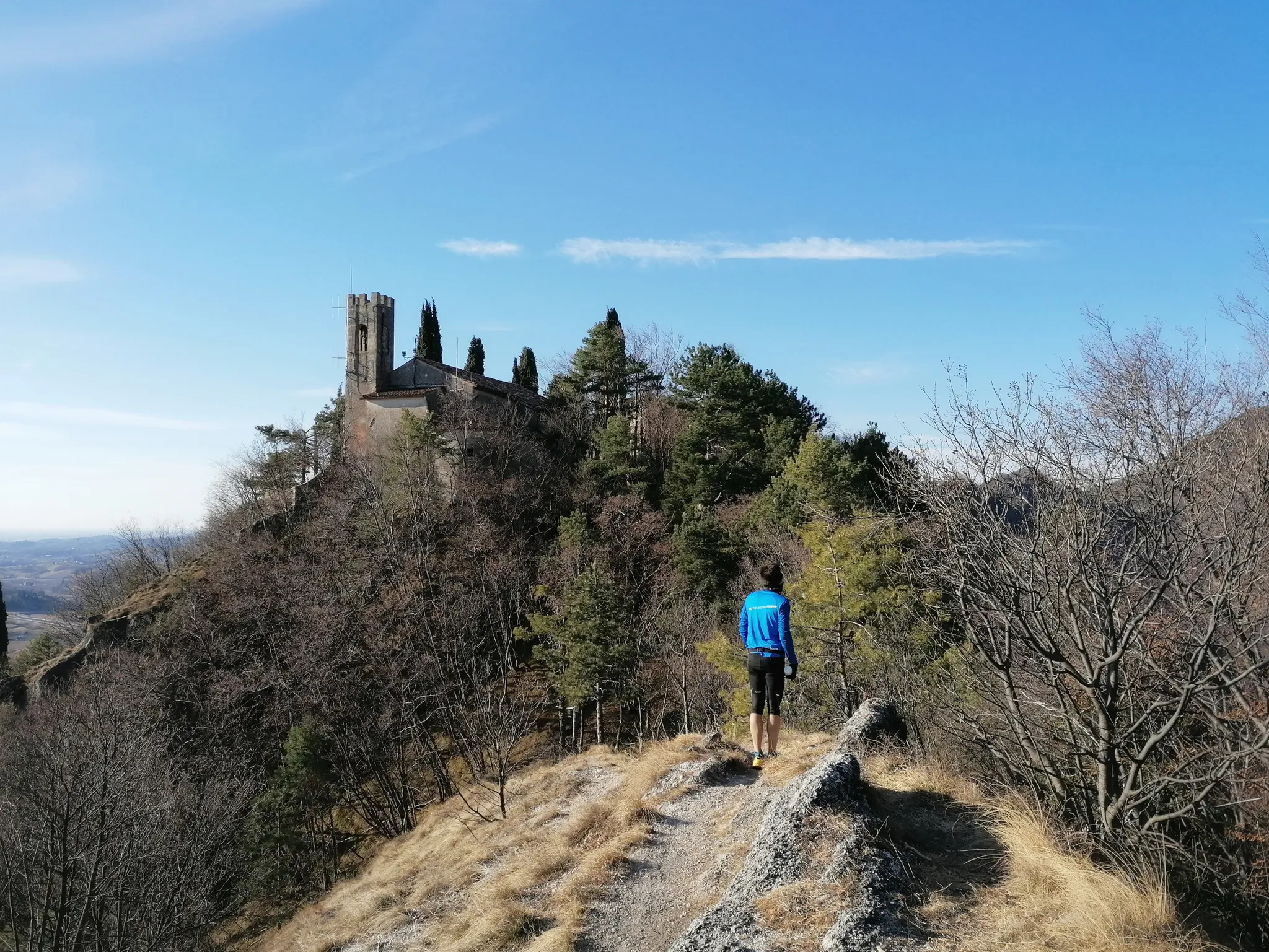
800 years of history from Gemona to Padua – Cammino di Sant'Antonio
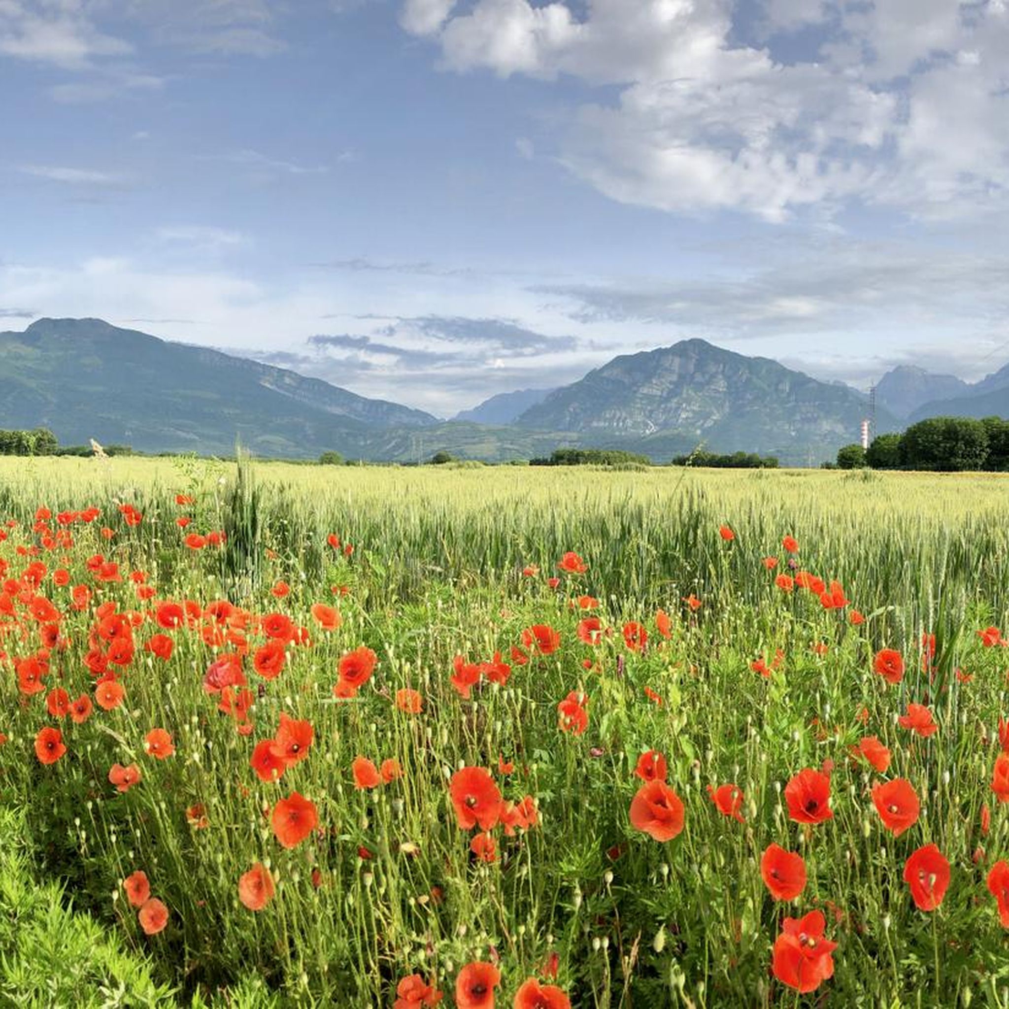
Hiking around Montereale Valcellina
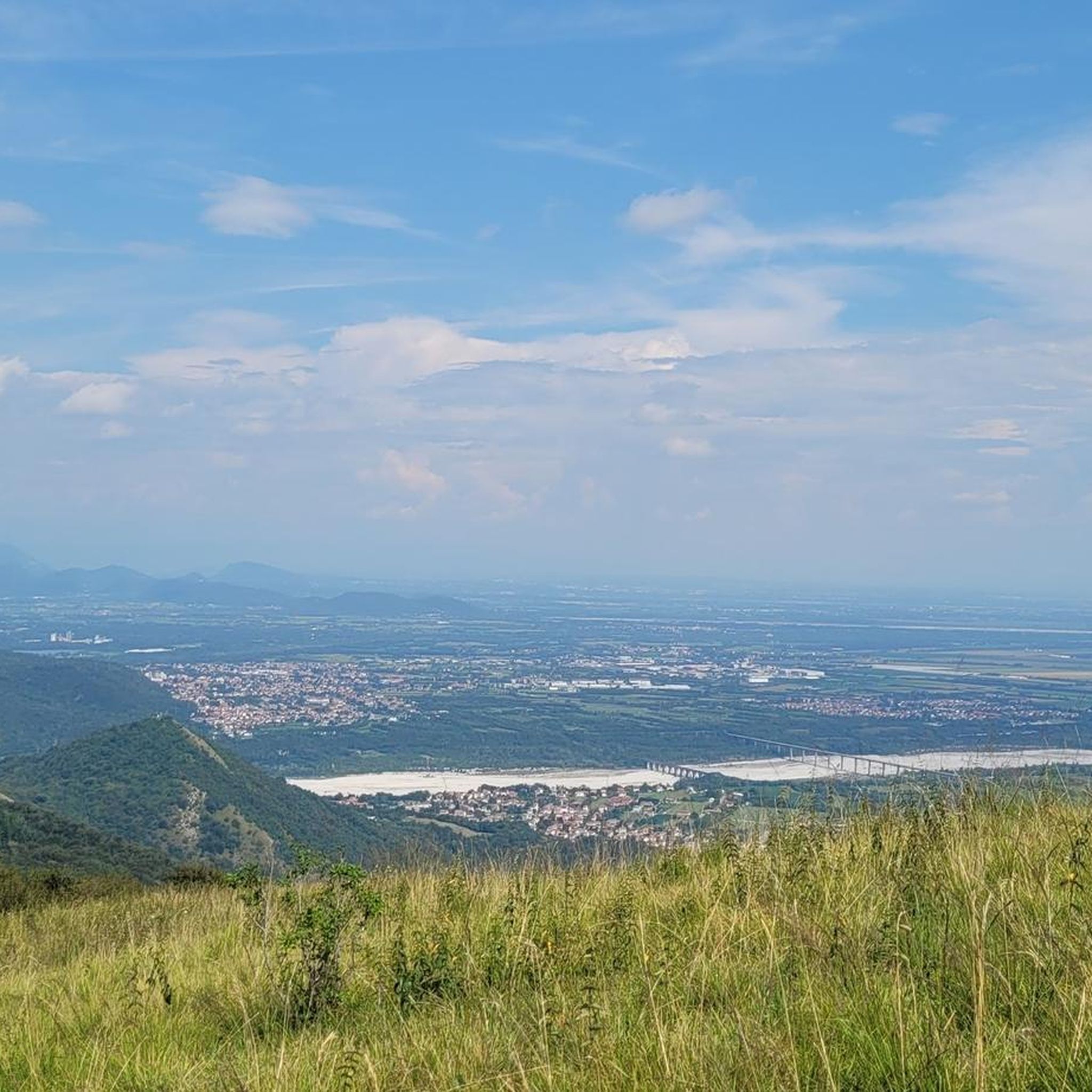
Road Cycling Routes around Montereale Valcellina
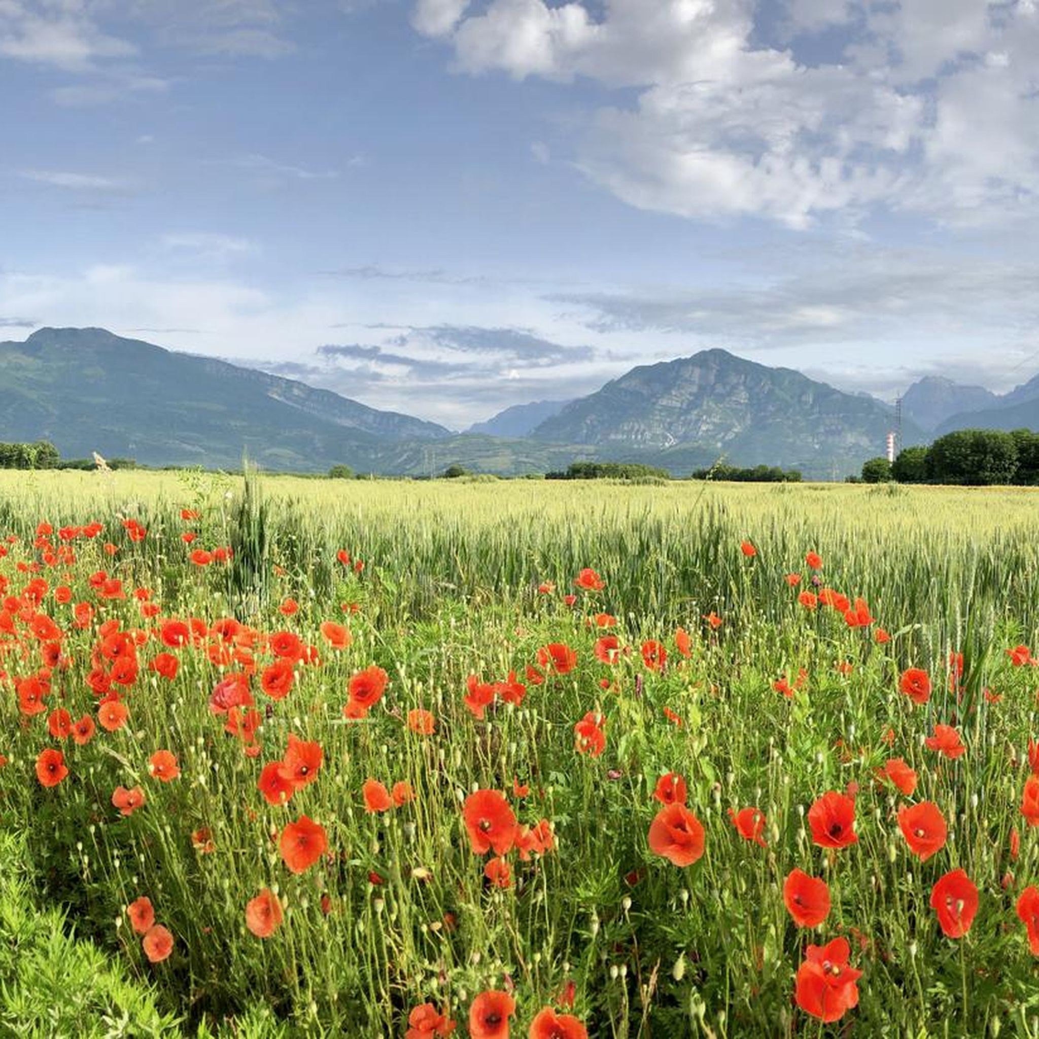
MTB Trails around Montereale Valcellina
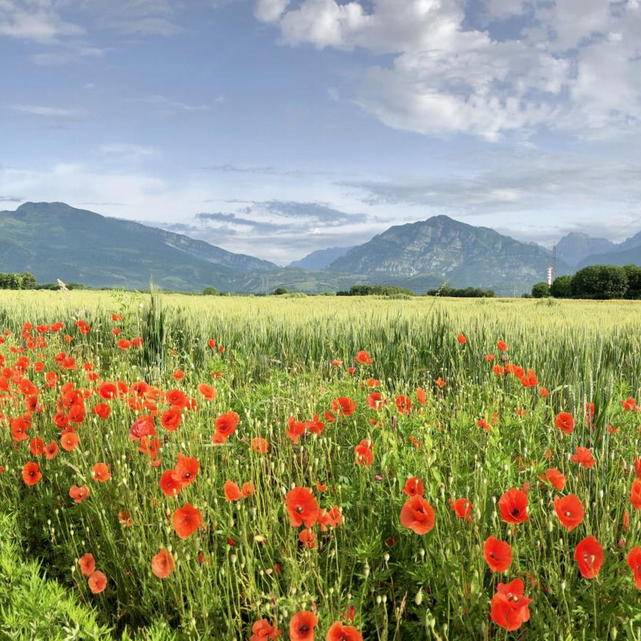
Cycling around Montereale Valcellina
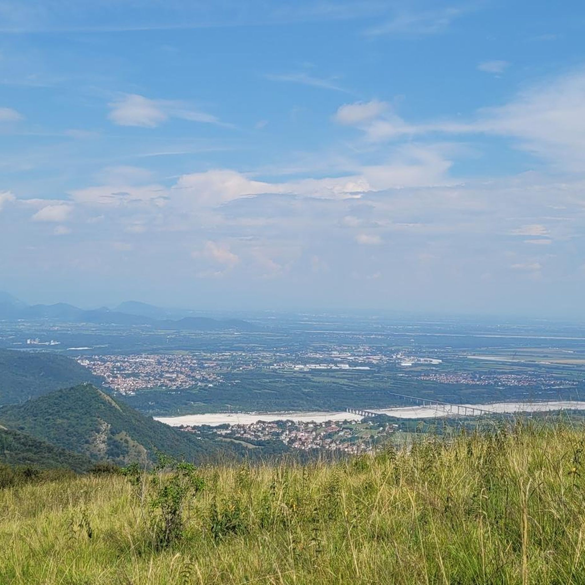
Running Trails around Montereale Valcellina
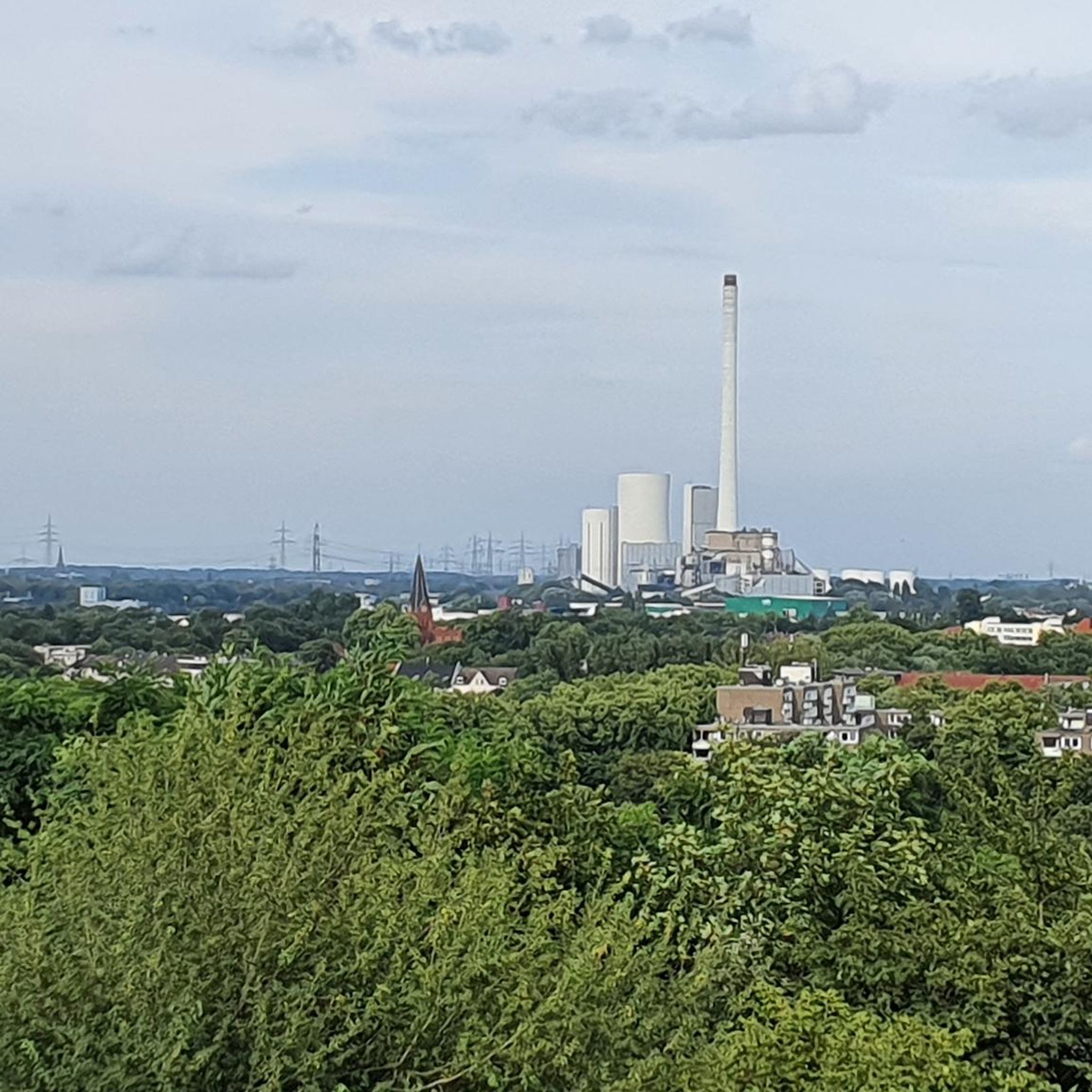
Gravel biking around Montereale Valcellina
Other adventures around Montereale Valcellina

Tips from the Community

The bivouac is well-maintained and in a great location. Unfortunately, I encountered a rainy day with low clouds.
0
0

This refuge is crucial to enhance the Horse group.
1
1
Excellent base in the winter period.
0
0

Rifugio Semenza excellent welcome ☺️ it is a very very beautiful refuge. If in those parts, absolutely worth stopping at least for a beer🍺
0
1
Beautiful via ferrata to get to Cima Manera!
0
0

The Manera peak (or Cimon del Cavallo) with its 2,251 meters of altitude is the highest peak in the Cavallo group. Even from the plain around Pordenone it is clearly distinguishable. From the top you enjoy an incredible panorama of many of the major Dolomite groups. In fact, you can see the altarpieces of San Martino and the Civetta, up to the Julian and Carnic Alps.
2
0
The Lastè bivouac, at 2,050 meters above sea level, is a simple barrel shelter, thanks to its bright red color it is easily identifiable even from a distance. Inside you can find nine beds with mattress, pillows and blankets. From here, you can enjoy a magnificent panorama of the peaks between Alpago and Friuli, particularly evocative with the twilight lights.
2
0
The Val Grande fork is located at 1,926 meters above sea level and separates the Val Grande peak from Mount Lastè in the Cavallo di Pordenone group. From here you can enjoy a 360° panorama. Towards the west, in fact, you can admire the mountain range of the Venetian-Belluno Alps, towards the south the Piancavallo group is clearly recognisable, and for the remaining part, on clear days, you can see a good part of the Julian Alps all the way to the sea.
2
0
Frequently Asked Questions
What types of mountaineering routes can I find around Montereale Valcellina?
Montereale Valcellina offers a variety of mountaineering routes, primarily in the difficult category, with one moderate option. These routes traverse rugged mountain terrain, offering challenging ascents and expansive views within the dramatic Friulian Dolomites and surrounding peaks like Monte Castello, Monte Fara, and Monte Spia.
Are there any moderate mountaineering routes suitable for those with less experience?
Yes, for those seeking a moderate challenge, the Monte Lupo – Forcella Vallata loop from Barcis / Barce is a great option. This 7.7 km trail leads through varied mountain landscapes and typically takes around 3 hours 40 minutes to complete.
What are some of the more challenging mountaineering routes in the area?
For experienced mountaineers, routes like the Cima dei Furlani – Cimon del Cavallo loop from Piancavallo / Plancjaval offer significant challenges. This difficult 8 km trail involves substantial elevation gain and can take over 6 hours. Another demanding option is the Monte Raut – Forcella Capra loop from Forcella di Pala Barzana, a 9 km difficult path traversing rugged terrain.
How long do mountaineering routes around Montereale Valcellina typically take to complete?
The duration of mountaineering routes varies depending on difficulty and length. For example, the moderate Monte Lupo – Forcella Vallata loop takes approximately 3 hours 40 minutes. More challenging routes, such as the Cima dei Furlani – Cimon del Cavallo loop, can take around 6 hours 41 minutes, while the Cimon del Cavallo – Rifugio Semenza loop, at 13 km, can extend to nearly 7 hours.
Are there any circular mountaineering routes available?
Yes, all the featured mountaineering routes around Montereale Valcellina are circular. This includes popular options like the Cima dei Furlani – Cimon del Cavallo loop and the Monte Raut – Forcella Capra loop, allowing you to start and finish at the same point.
What natural features or landmarks can I expect to see along the mountaineering routes?
Mountaineering routes in this region offer stunning views of the Friulian Dolomites, a UNESCO World Heritage Site. You'll encounter diverse landscapes including extensive forests, alpine meadows, and dramatic peaks. The area is also known for the impressive Cellina Gorge Nature Reserve. On clear days, some routes may even offer panoramic views extending to the Julian Alps and the Adriatic Sea.
Are there any mountain huts or refuges along the routes for rest or overnight stays?
Yes, the region has mountain huts that can serve as bases or rest stops. For instance, the Carlo and Massimo Semenza Mountain Hut is located at 2,020 meters in the high Val de Piera and is part of the Cimon del Cavallo – Rifugio Semenza loop. Other huts like Baita degli Alpini and Pradut Hut are also in the broader area.
What do other mountaineers enjoy most about the routes in Montereale Valcellina?
The mountaineering routes around Montereale Valcellina are highly rated by the komoot community, with an average score of 4.1 stars. Users frequently praise the challenging ascents, the rugged mountain terrain, and the expansive, panoramic views of the surrounding peaks and the dramatic Friulian Dolomites.
Is Montereale Valcellina suitable for winter mountaineering or alpine skiing?
While the guide focuses on mountaineering, the region's rough yet fascinating areas, steep wooded mountainsides, and canyons transform into 'fairy-tale places' in winter, offering rewarding alpine skiing adventures. The Val di Senons and Mount Dosain, especially in spring, provide excellent settings for alpine skiing, and Val Cimoliana offers excursions on fresh snow during winter and spring.
Are there any family-friendly or dog-friendly options for outdoor activities near Montereale Valcellina?
While the listed mountaineering routes are generally challenging, the broader Valcellina area offers diverse natural environments suitable for various outdoor enthusiasts. For less strenuous activities, the old Valcellina road through the Cellina Gorge Nature Reserve provides a fascinating path, and Lake Barcis offers a relaxing atmosphere with a path called the 'Sentiero degli Alpini' around it, which might be more suitable for families or those with dogs.
Most popular routes around Montereale Valcellina
Most popular attractions around Montereale Valcellina

Get inspired with the komoot mobile app


Explore more
Browse the best Mountain Hikes & Routes in other regions.
