The best mountain hikes around Piossasco
4.6
(5)
68
hikers
2
hikes
Mountaineering routes Piossasco are situated in the Piedmont region of Italy, offering direct access to diverse mountain landscapes. The area is characterized by the prominent Monte San Giorgio, which provides panoramic views of the Turin plain and extends towards Monviso on clear days. This natural setting, part of a regional natural park, features a mix of mountains, hills, and forests, providing varied terrain for outdoor activities.
Best mountaineering routes around Piossasco
- The most popular mountaineering route is Punta dell'Aquila Summit…
Last updated: August 14, 2026
4.6
(5)
41
hikers
9.08km
04:29
810m
810m
Moderate mountaineering route. Good fitness required. Mostly accessible paths. Sure-footedness required.
20
hikers
4.84km
01:29
130m
130m
Hard mountaineering route. Great for any fitness level. Sure-footedness, sturdy shoes and alpine experience required.

Sign up for free
4
hikers
4.86km
02:30
430m
430m
Hard mountaineering route. Good fitness required. Sure-footedness, sturdy shoes and alpine experience required.
Our route recommendations are based on thousands of hikes, rides, and runs completed by other people on komoot.
Start today with a free account
Your next adventure awaits.
Login or Signup
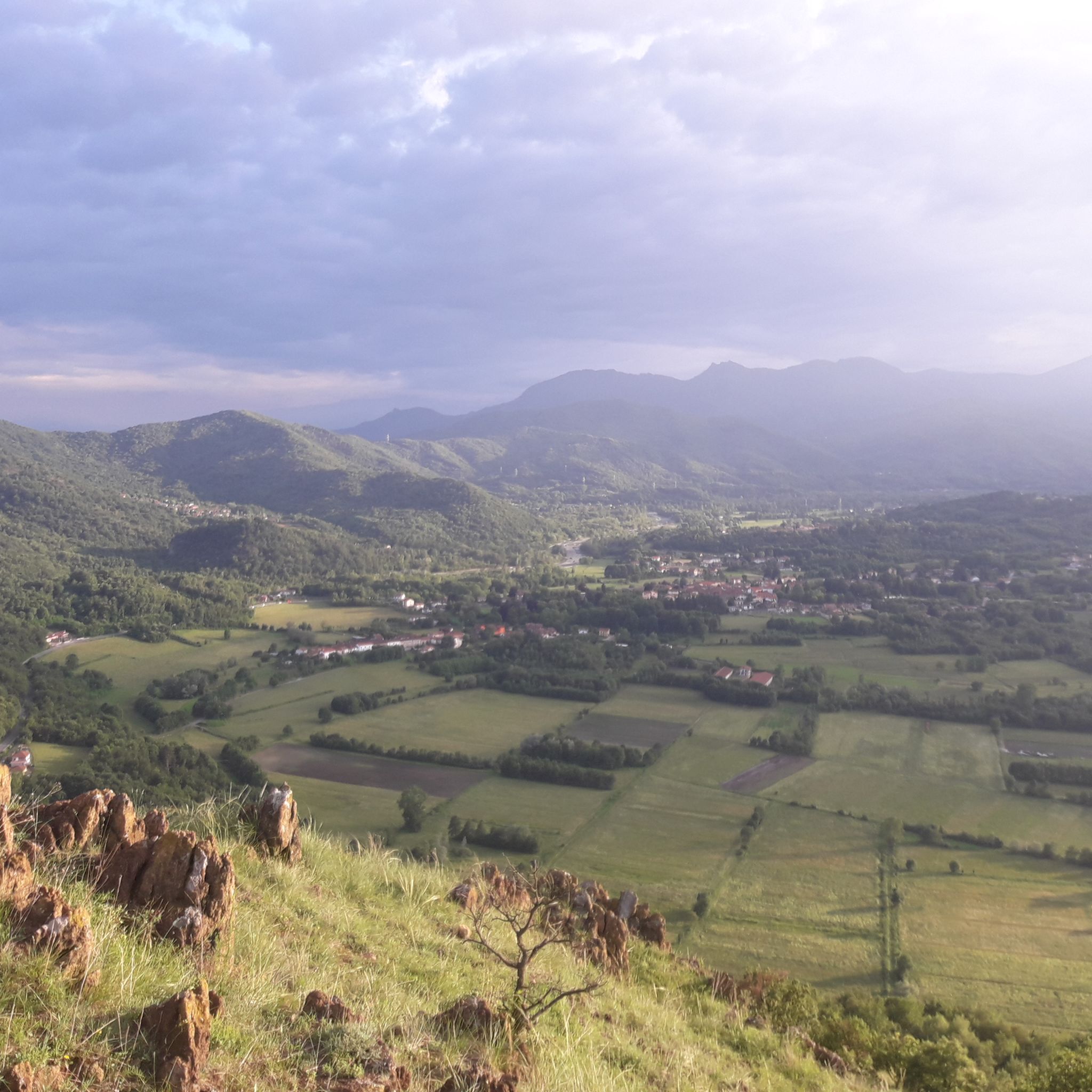
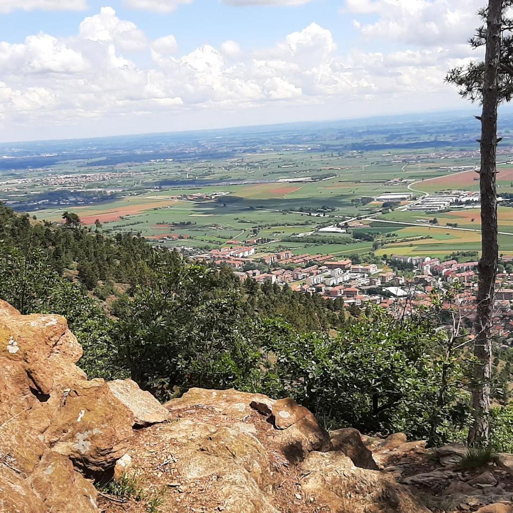
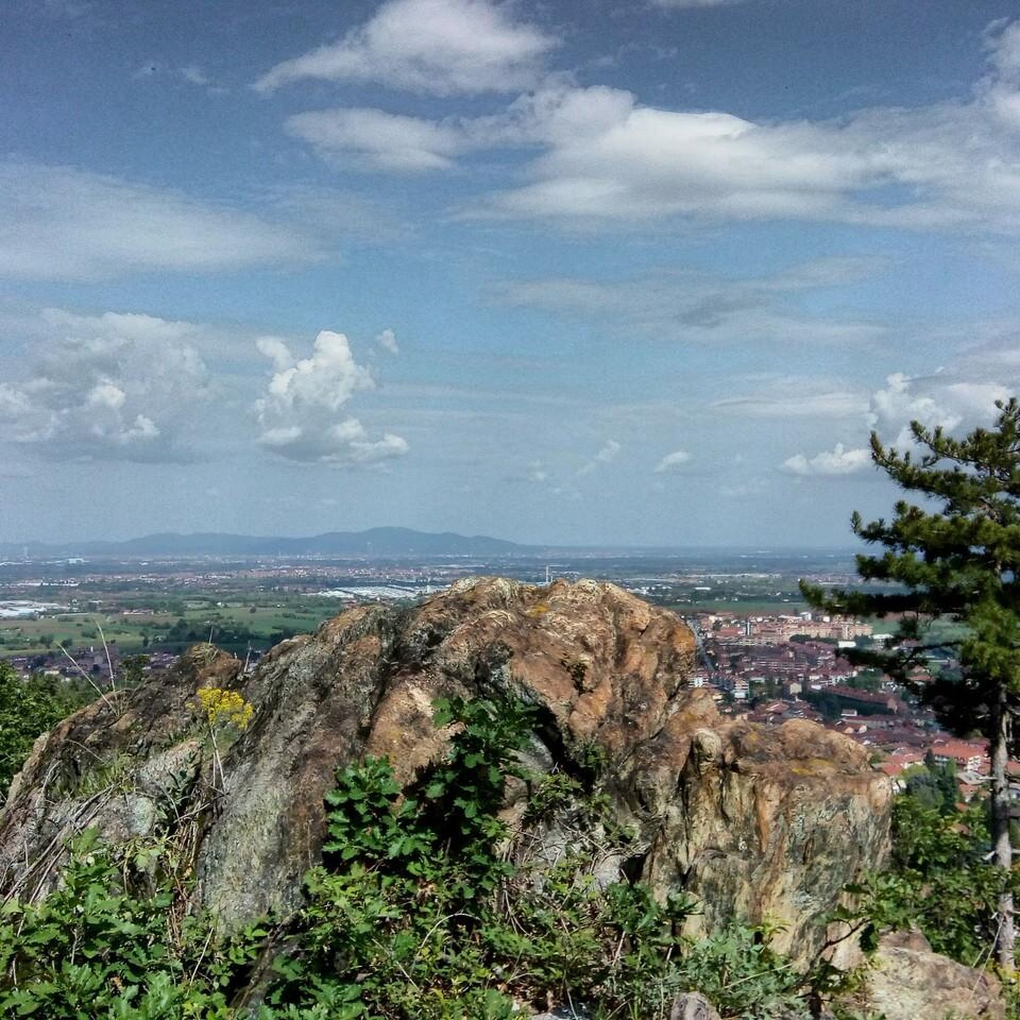

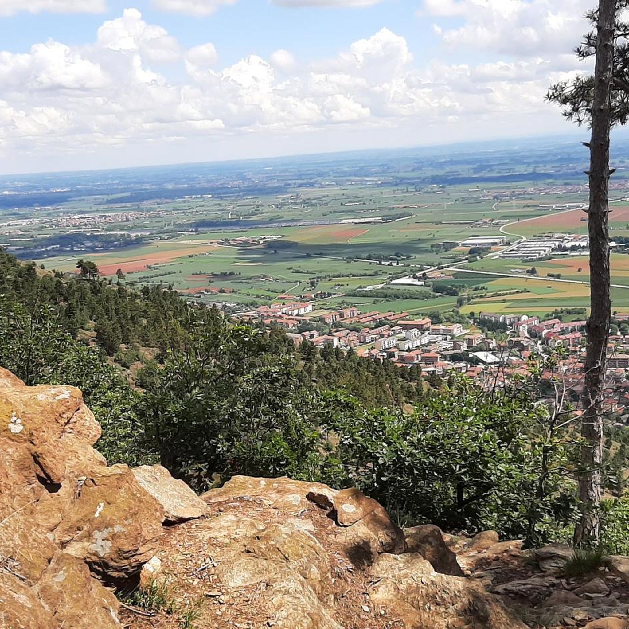
Tips from the Community

Crossroads of paths with beautiful views all around.
0
0

Great refuge, easily accessible to anyone, on foot or by bike.
0
0
Once we reach the end of the road, the Eagle monument confirms that we've made it. It deserves praise just for that. And besides, it looks good on its own.
0
0

Hill near the Melano Refuge (Casa Canada)
0
0
Panoramic destination, 360* panorama in Piossasco
0
0

Small stone church right at the highest point of Mount San Giorgio
1
0

I don't want to be wrong, but it's not the Lemina, it's the Noce. The Lemina rises and flows further West, near the Dairin hamlet
0
0
Stunning view of Piossasco from the top of Monte San Giorgio
0
0
Frequently Asked Questions
How many mountaineering routes are available around Piossasco?
There are 5 dedicated mountaineering routes around Piossasco, offering a mix of moderate and difficult challenges. These routes are highly rated by the komoot community, with an average score of 4.5 stars.
What is the best time of year for mountaineering in Piossasco?
Piossasco experiences warm summers and snowy winters. While the region offers diverse landscapes year-round, the temperate climate generally makes spring and autumn ideal for mountaineering. Winter can be suitable for those equipped for snowy conditions, while summer provides warmer weather for higher ascents.
Are there any circular mountaineering routes near Piossasco?
Yes, several routes are circular. For example, the Punta dell'Aquila Summit Cross loop from Alpe Colombino is a popular 9.1 km loop. Another option is the Monte San Giorgio – Colle della Serva loop from Piossasco, which is 9.2 km long, or the Monte Brunello – Colle della Bessa loop from Ciom, a 6.6 km loop.
What kind of views can I expect on the mountaineering routes?
The routes around Piossasco offer extensive panoramic views. From summits like Monte San Giorgio, you can enjoy 360-degree vistas of the Turin plain, the Avigliana lakes, Val Sangone, and even Monviso on clear days. The region's diverse terrain includes morainic hills, forests, and the entrance to the Valle di Susa, providing varied scenery.
Are there any family-friendly mountaineering options in Piossasco?
While mountaineering routes typically involve significant elevation gain and can be challenging, some areas around Piossasco offer easier paths suitable for families. The region features accessible hills and diverse forest paths. For specific family-friendly options, consider exploring the trails within the 'San Giorgio' Natural Park, which has varying difficulty levels.
Can I bring my dog on the trails?
Yes, Piossasco and its surroundings are generally dog-friendly. Parks like Parco Naturale del Monte San Giorgio offer trails where dogs are welcome. Always ensure your dog is leashed and you follow local regulations regarding pets on trails.
What landmarks or points of interest can I see near the mountaineering routes?
Beyond the natural beauty, you can find several interesting landmarks. The Mount Cuneo (Moncuni) summit offers great views. The Monte San Giorgio summit features a small Romanesque church. Other nearby attractions include the medieval castle of Piossasco, the 18th-century Casa Lajolo, and the Stupinigi Hunting Lodge, a UNESCO World Heritage site just 10 km from Turin.
Are there any lakes or water features along the routes?
While the mountaineering routes themselves focus on higher terrain, the broader Piossasco region is home to several water features. These include the Lago Grande and Lago Piccolo, the serene Pessina Pond, and the Small Lake of Avigliana. The Sangone River and its accompanying cycle path also offer opportunities for exploration.
What are the parking options for accessing mountaineering trails in Piossasco?
Specific parking details vary by trailhead. For routes like the Monte San Giorgio – Colle della Serva loop, you can often find parking in or near Piossasco itself. For routes starting from smaller hamlets like Alpe Colombino or Ciom, roadside parking or small designated areas are usually available. It's advisable to check the specific route details on komoot for recommended starting points and parking information.
Are there any permits required for mountaineering in the Piossasco area?
Generally, no special permits are required for hiking or mountaineering on the established trails in the Piossasco area, including within the 'San Giorgio' Natural Park. However, always respect local regulations and private property signs. For specific protected areas or unique activities, it's always best to check with local authorities.
What is the difficulty level of the mountaineering routes?
The mountaineering routes around Piossasco offer a range of difficulties. Out of the 5 routes, 3 are rated as moderate, and 2 are rated as difficult. This means you can find options suitable for those with some experience looking for a challenge, as well as more demanding ascents for seasoned mountaineers.
Most popular routes around Piossasco
Most popular attractions around Piossasco

Get inspired with the komoot mobile app


Explore more
Browse the best Mountain Hikes & Routes in other regions.
