The best mountain hikes around Perosa Argentina
4.6
(5)
84
hikers
4
hikes
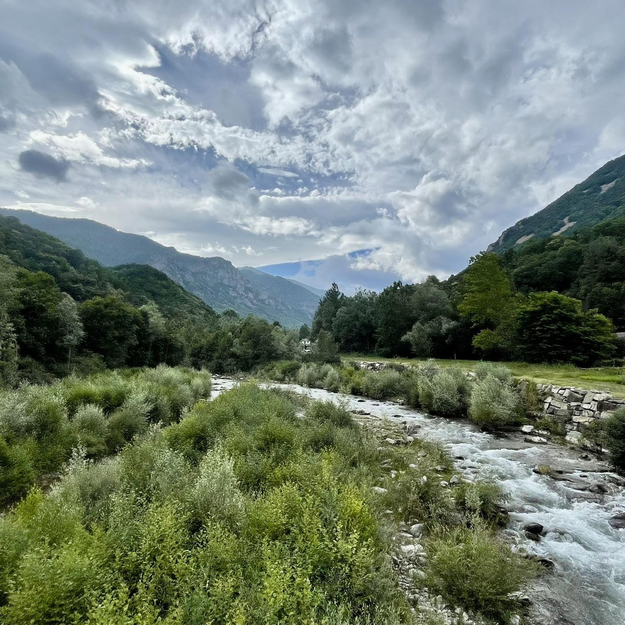
Mountaineering routes near Perosa Argentina are situated within the rugged Val Chisone, a region characterized by its stony, mountainous terrain and significant peaks. The area features prominent summits such as Monte Freidour and Monte Castelletto, offering diverse ascents. This landscape is further defined by its proximity to the Orsiera-Rocciavrè Natural Park, providing extensive networks of trails through varied ecosystems. The region's history, including ancient silver mines on Bocciarda Mountain, adds a unique dimension to its natural features.
Best mountaineering routes…
Last updated: July 4, 2026
4.6
(5)
41
hikers
9.08km
04:29
810m
810m
Moderate mountaineering route. Good fitness required. Mostly accessible paths. Sure-footedness required.
20
hikers
4.84km
01:29
130m
130m
Hard mountaineering route. Great for any fitness level. Sure-footedness, sturdy shoes and alpine experience required.

Sign up for free
12
hikers
10.4km
03:26
490m
490m
Moderate mountaineering route. Good fitness required. Easily-accessible paths. Suitable for all skill levels.
6
hikers
14.9km
06:52
1,080m
1,080m
Hard mountaineering route. Very good fitness required. Sure-footedness, sturdy shoes and alpine experience required.
3
hikers
16.0km
07:49
1,180m
1,180m
Hard mountaineering route. Very good fitness required. Sure-footedness, sturdy shoes and alpine experience required.
Our route recommendations are based on thousands of hikes, rides, and runs completed by other people on komoot.
Start today with a free account
Your next adventure awaits.
Login or Signup
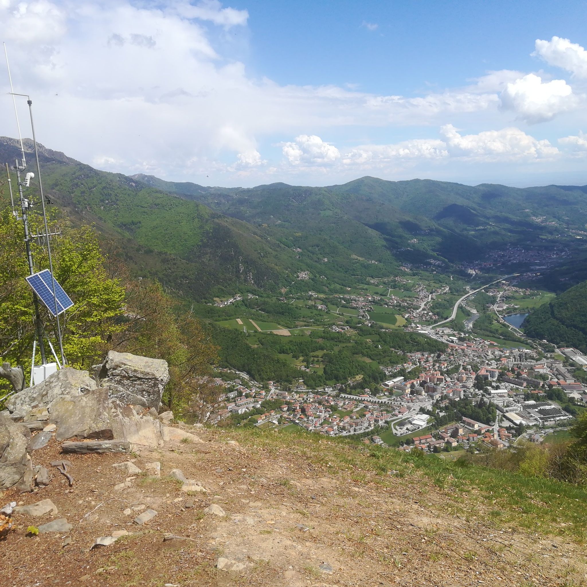
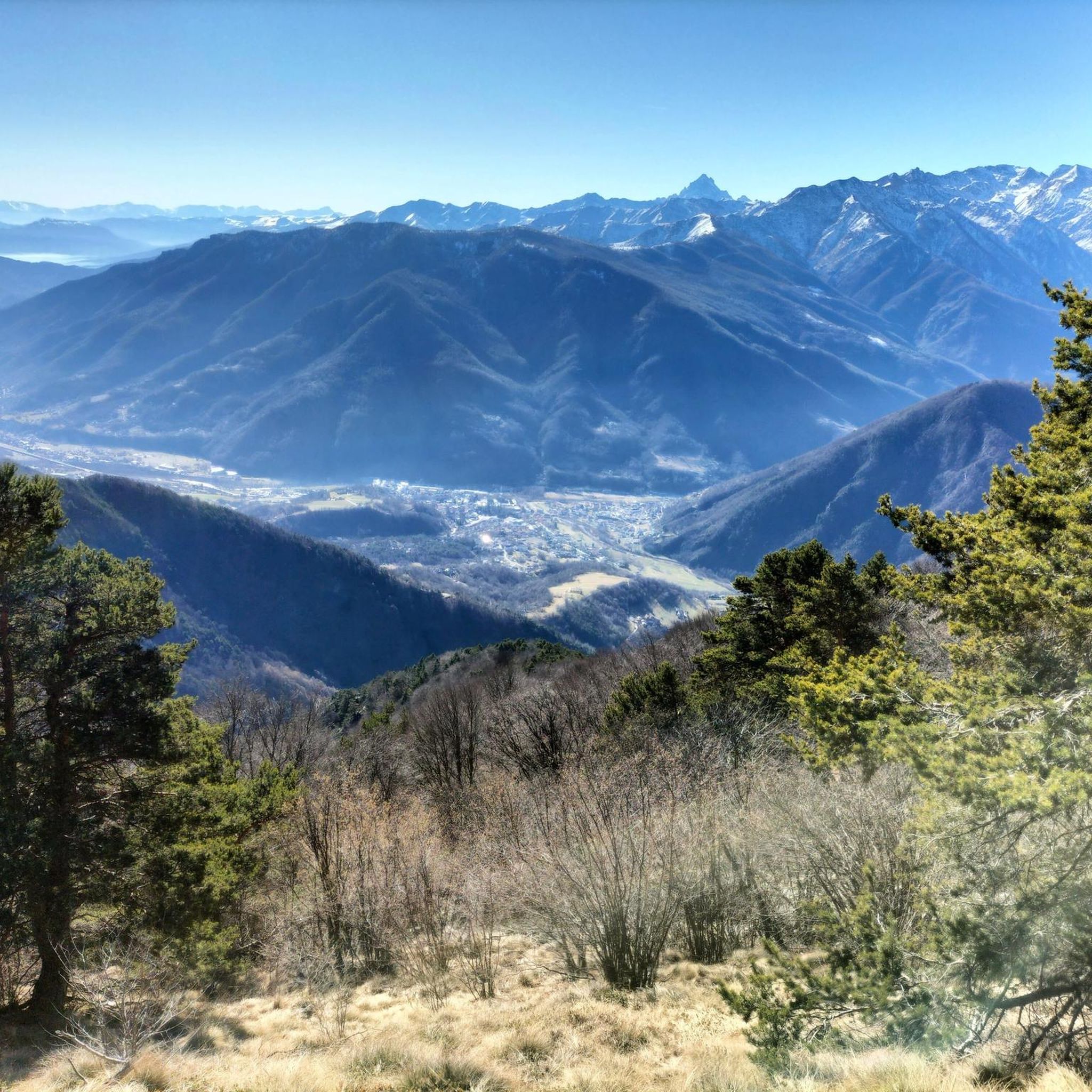
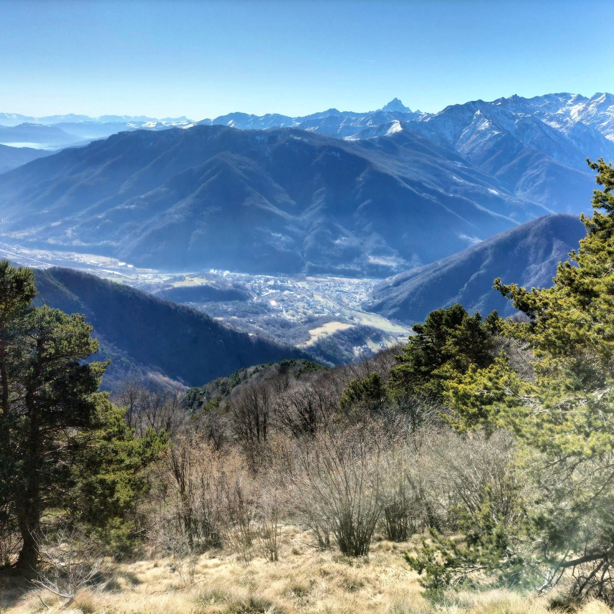
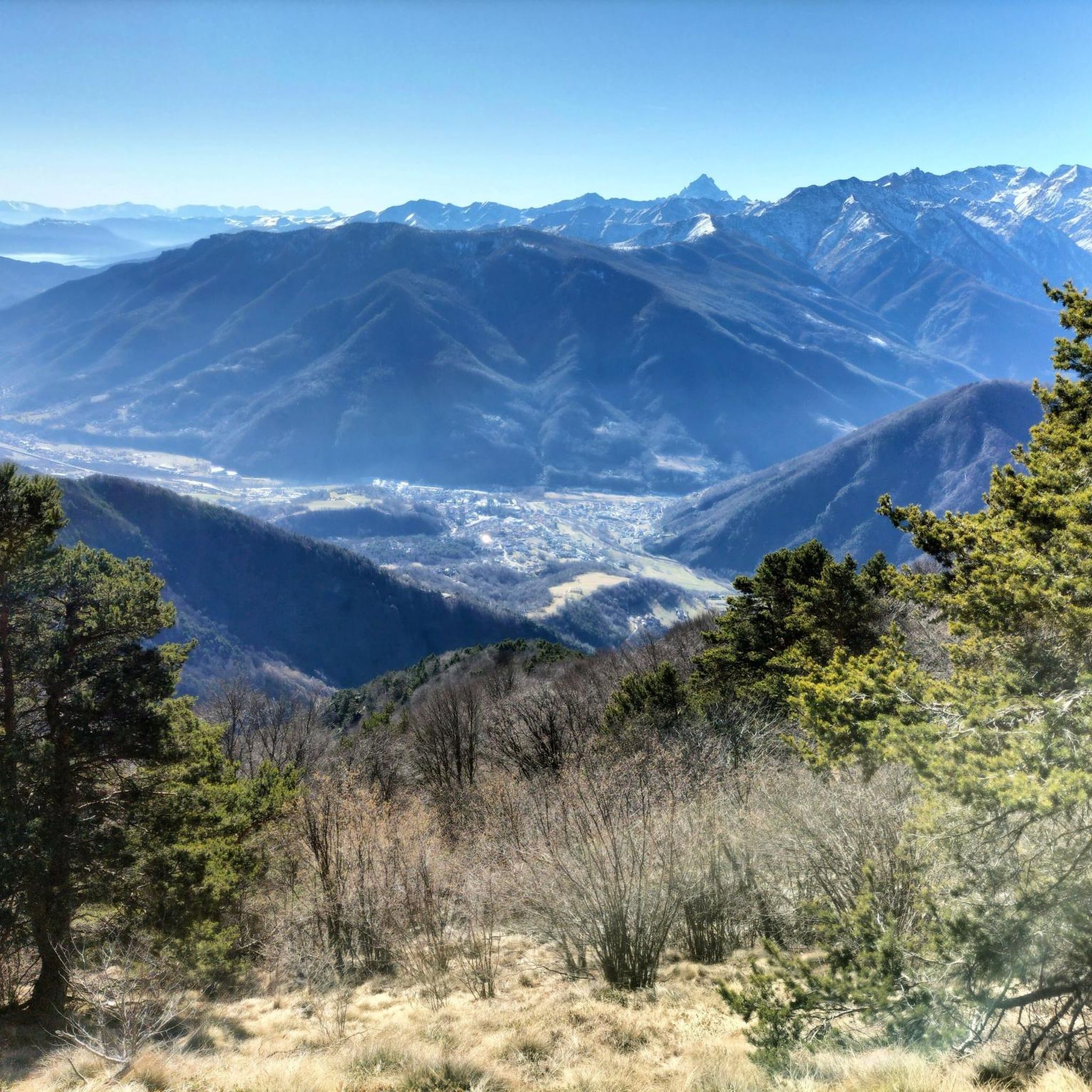

Tips from the Community

Crossroads of paths with beautiful views all around.
0
0

Great refuge, easily accessible to anyone, on foot or by bike.
0
0
Once we reach the end of the road, the Eagle monument confirms that we've made it. It deserves praise just for that. And besides, it looks good on its own.
0
0

Hill near the Melano Refuge (Casa Canada)
0
0
beautiful refuge in the Selleries valley
0
0

The Selleries refuge is located in the municipality of Roure (TO), in the Chisone valley, in the Cottian Alps, at 2,035 m above sea level. It can be easily reached by mountain bike from the paved road, but also on foot. The craft beers are excellent.
0
0

Massimo is one of the best and kindest refugee managers I have ever met.
1
0
Frequently Asked Questions
What is the overall difficulty level of mountaineering routes around Perosa Argentina?
The mountaineering routes in Perosa Argentina offer a range of difficulties. While there are several challenging climbs, such as the four difficult routes identified, there are also moderate options available. For example, the Punta dell'Aquila Summit Cross loop from Alpe Colombino is a moderate 5.6-mile trail, and the Jouglard bivouac – Selleries Hut loop from Grange is also rated as moderate.
Are there any circular mountaineering routes in the Perosa Argentina area?
Yes, several routes are designed as loops, allowing you to start and finish in the same location. Examples include the Punta dell'Aquila Summit Cross loop from Alpe Colombino, the Colle Ciardonet – Rifugio Melano Casa Canada loop from Cantalupa, and the Jouglard bivouac – Selleries Hut loop from Grange. These offer varied terrain and experiences.
What kind of natural features can I expect to see on these mountaineering routes?
The routes around Perosa Argentina are set within the rugged Val Chisone, characterized by its stony, mountainous terrain. You'll encounter significant peaks like Monte Freidour and Monte Castelletto, extensive forest sections, and diverse ecosystems, especially near the Orsiera-Rocciavrè Natural Park. The region's name 'Perosa' itself hints at its 'stony' character.
Are there any mountain huts or refuges along the mountaineering trails?
Yes, the area is well-equipped with mountain huts that can serve as excellent bases or stops. The Selleries Hut is a highly recommended destination, known for its welcoming atmosphere and good food. Another option is the Toesca Hut, located within the Orsiera-Rocciavrè Natural Park, which offers accommodation and typical Piedmontese cuisine.
What historical or cultural points of interest can be found near the mountaineering routes?
Perosa Argentina has a rich history tied to its landscape. The 'Argentina' part of its name refers to ancient silver mines on the slopes of Bocciarda Mountain. You can also find the Monte Freidour RAF Memorial at the summit of Monte Freidour, commemorating a plane crash. Additionally, the nearby Ecomuseo delle Miniere e della Val Germanasca explores the region's mining heritage.
What do other mountaineers say about the routes in Perosa Argentina?
The mountaineering routes in Perosa Argentina are highly regarded by the komoot community, holding an average score of 4.5 stars from over 6 reviews. More than 77 mountaineers have used komoot to explore the varied terrain, often praising the rugged peaks of Val Chisone and the extensive forest sections.
Are there any routes that pass by lakes or waterfalls?
Yes, for those interested in water features, the Lago della Manica – Colle Superiore di Malanotte loop from Parco Naturale Orsiera-Rocciavrè passes by Lago della Manica. Additionally, the Leuja Scura Waterfall is a notable natural monument in the broader area around Perosa Argentina.
What are some of the prominent viewpoints or mountain passes to visit?
The region offers several stunning viewpoints. From Colle Vaccera, you can enjoy expansive views of surrounding mountains, including Mon Viso, Punta dell'Aquilla, Rocciamelone, and Gran Paradiso. A short climb from Colle Vaccera leads to Monte Castelletto for another vantage point. Other passes include Colle del Crò.
Are there any particularly long or challenging mountaineering routes for experienced climbers?
For experienced mountaineers seeking a challenge, the Lago della Manica – Colle Superiore di Malanotte loop from Cianfulcre is a difficult 14.7-kilometer (9.1 miles) route with over 1000 meters of elevation gain, typically taking over 6.5 hours to complete. This route offers a significant test of endurance and skill.
What is the best time of year for mountaineering in Perosa Argentina?
While specific recommendations for Perosa Argentina aren't detailed, generally, the warmer months from late spring to early autumn (May to October) are ideal for mountaineering in the Piedmont region, offering more stable weather and accessible trails. However, the Toesca Hut is open year-round, suggesting possibilities for winter mountaineering on suitable routes, especially on weekends and holidays.
Are there any facilities like picnic areas along the routes?
Yes, you can find facilities to rest and enjoy the surroundings. For instance, the Colletto del Forno picnic area and fountain is a highlight in the natural monuments category, providing a convenient spot for a break during your mountaineering adventure.
Most popular routes around Perosa Argentina
Most popular attractions around Perosa Argentina

Get inspired with the komoot mobile app


Explore more
Browse the best Mountain Hikes & Routes in other regions.
