The best mountain hikes around San Giorio Di Susa
4.6
(5)
72
hikers
6
hikes
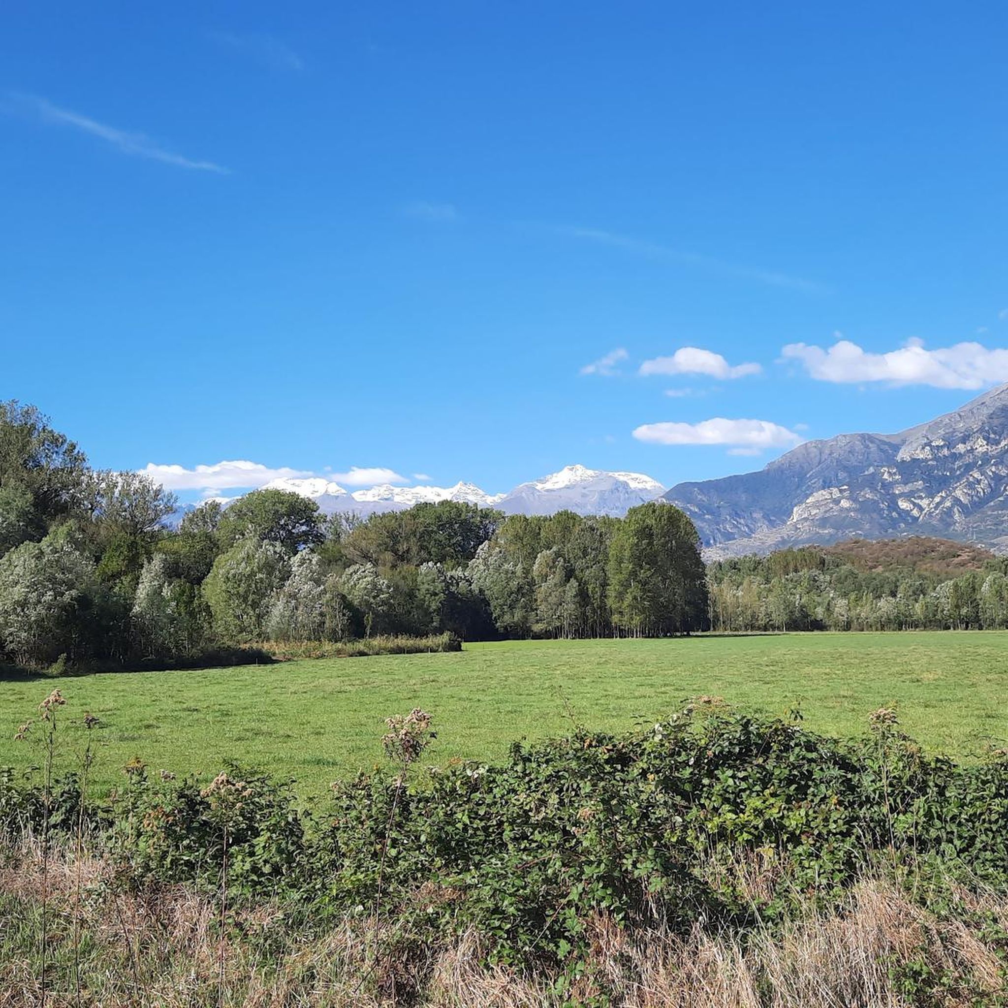
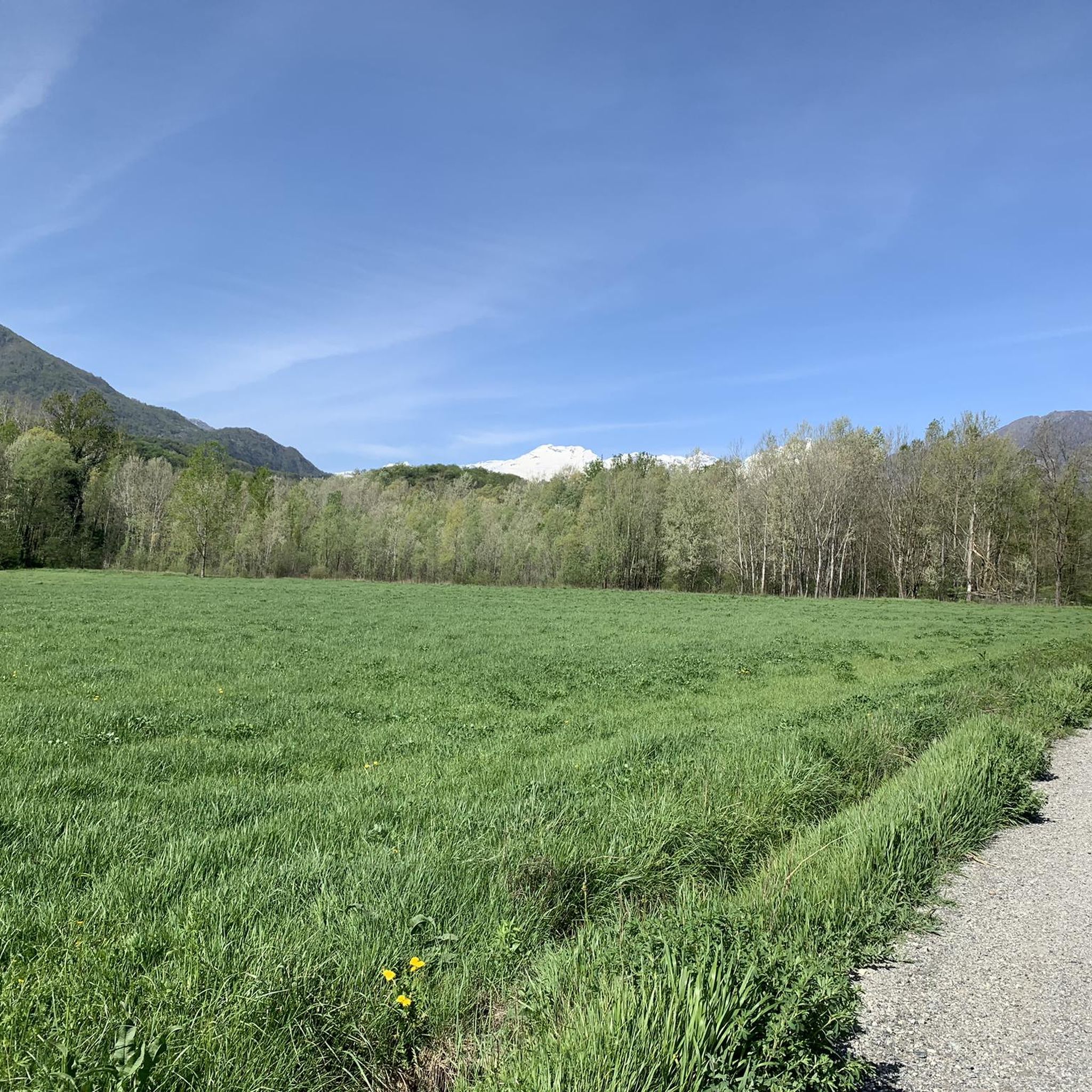
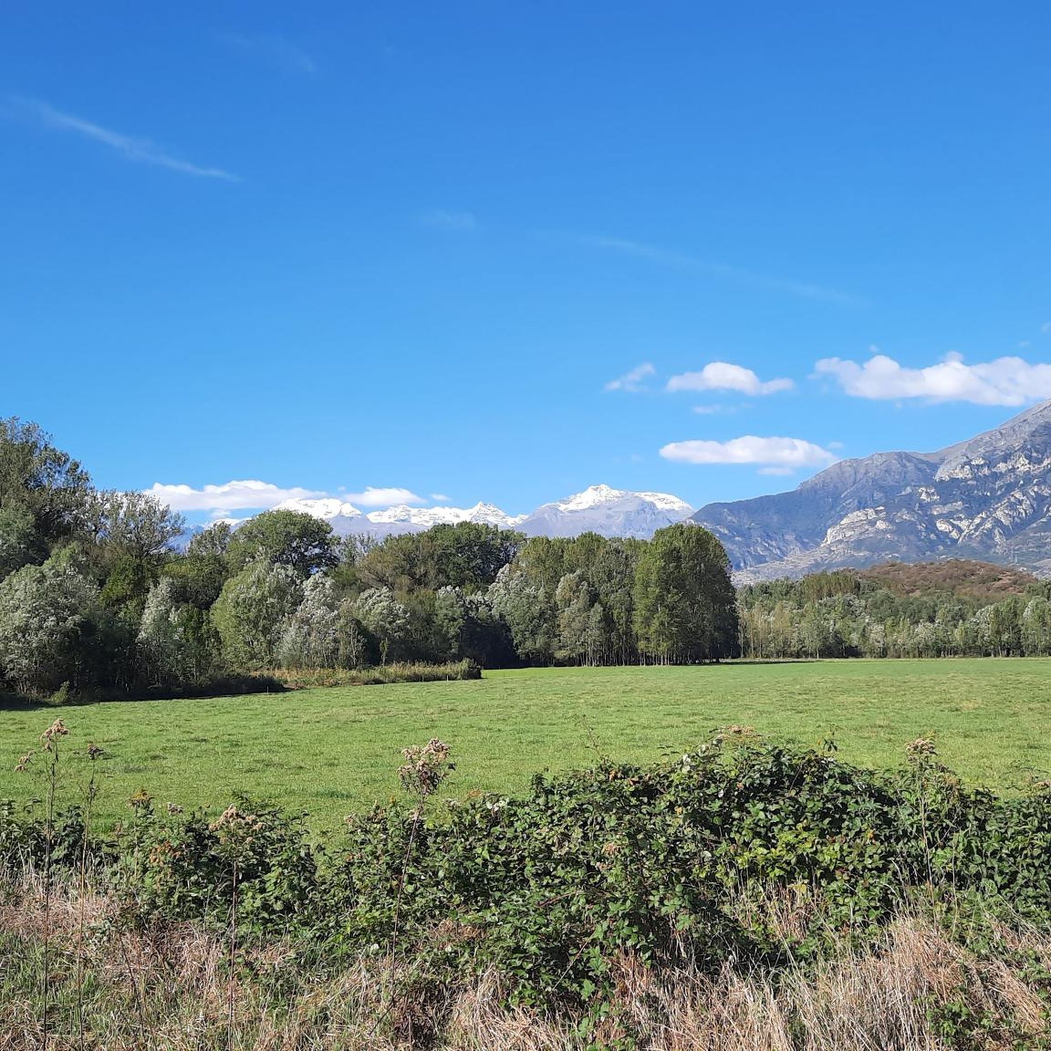
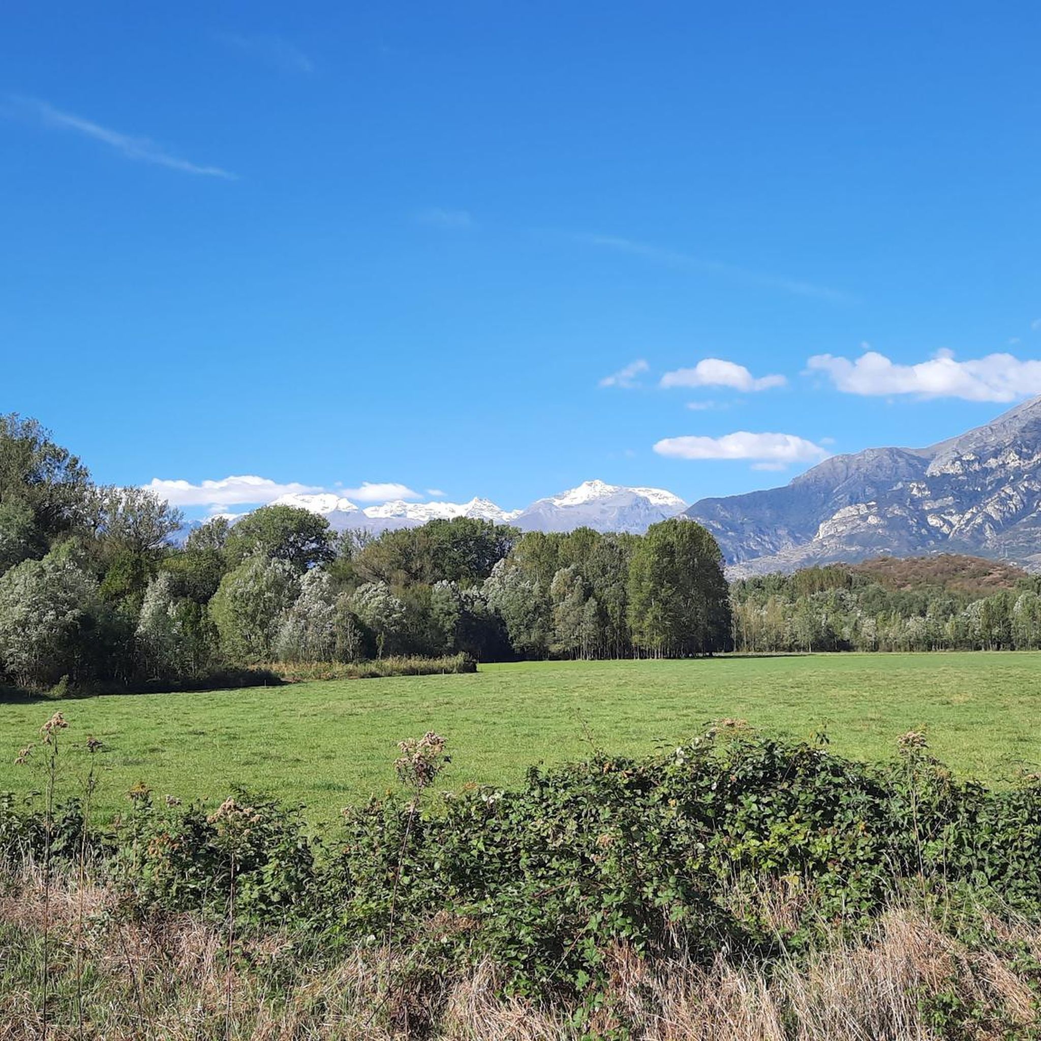
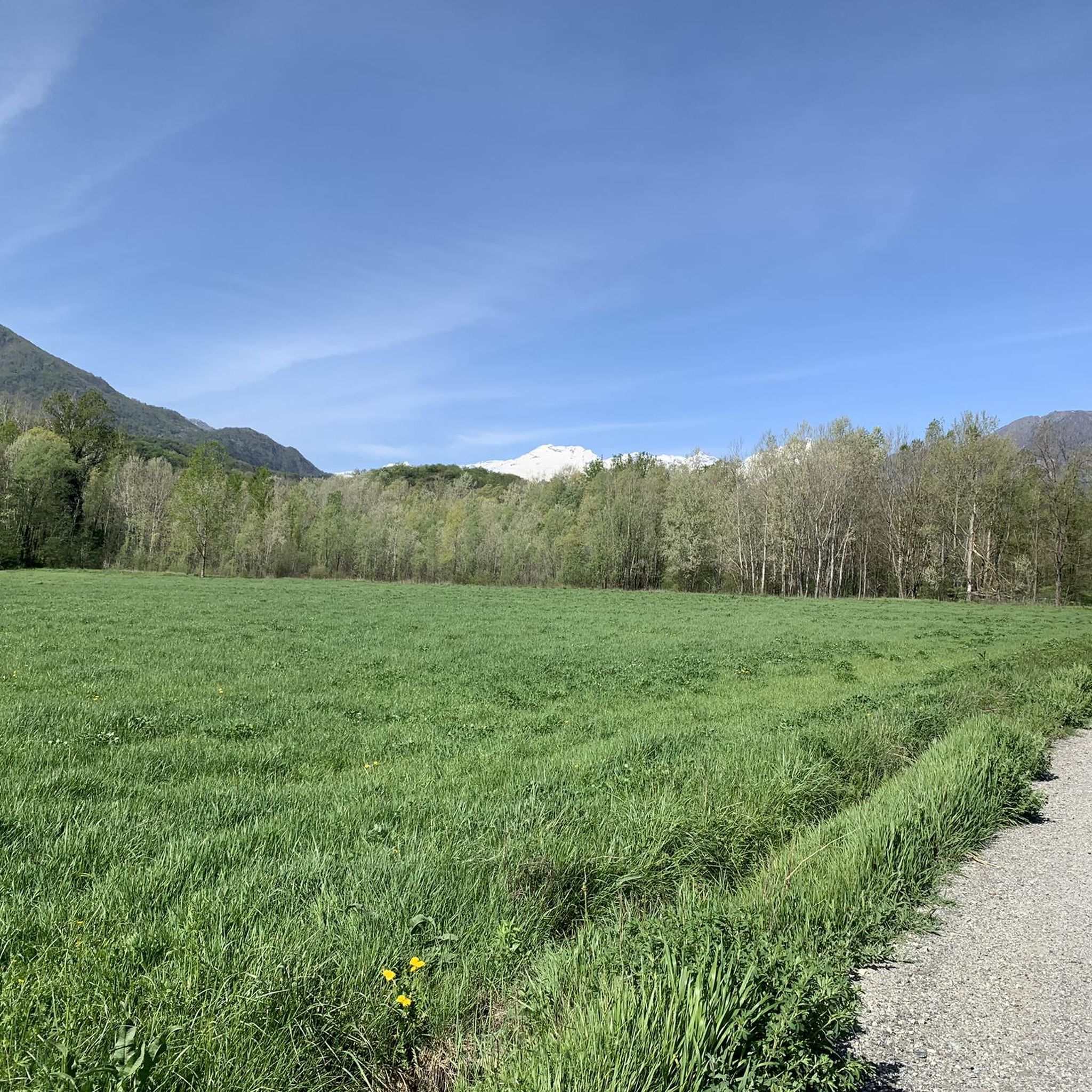
Mountaineering routes around San Giorio Di Susa are set within the Susa Valley, offering access to the Orsiera-Rocciavrè Natural Park and the majestic Alps. The terrain features varied environments, including broadleaf and coniferous forests, high-altitude meadows, and significant peaks such as Colle del Vento and Punta Cristalliera. This region provides a diverse landscape for ascents, characterized by its natural habitats and challenging mountain environments.
Best mountaineering routes around San Giorio Di Susa
- The most popular mountaineering route is Punta dell'Aquila Summit Cross loop from Alpe Colombino, a 5.6 miles (9.1 km) trail that takes 4 hours 30 minutes to complete, offering views towards the summit cross.
- Another top favourite among local mountaineers is Jouglard bivouac – Selleries Hut loop from Grange, a moderate 6.5 miles (10.5 km) path. This route connects mountain huts, providing a journey through alpine landscapes.
- Local mountaineers also love the Lago della Manica – Colle Superiore di Malanotte loop from Parco Naturale Orsiera-Rocciavrè, a 4.1 miles (6.6 km) trail leading through the natural park and past alpine lakes, often completed in about 3 hours 35 minutes.
- Mountaineering around San Giorio Di Susa is defined by alpine peaks, dense forests, and high-altitude pastures within the Orsiera-Rocciavrè Natural Park. The network offers options for both moderate and difficult ability levels.
- The routes in San Giorio Di Susa are highly rated by the komoot community with an average score of 4.7 stars from 8 reviews. More than 130 mountaineers have used komoot to explore San Giorio Di Susa's varied terrain.
Last updated: July 4, 2026
4.6
(5)
41
hikers
9.08km
04:29
810m
810m
Moderate mountaineering route. Good fitness required. Mostly accessible paths. Sure-footedness required.
12
hikers
10.4km
03:26
490m
490m
Moderate mountaineering route. Good fitness required. Easily-accessible paths. Suitable for all skill levels.

Sign up for free
6
hikers
14.9km
06:52
1,080m
1,080m
Hard mountaineering route. Very good fitness required. Sure-footedness, sturdy shoes and alpine experience required.
6
hikers
8.80km
05:04
900m
900m
Hard mountaineering route. Very good fitness required. Sure-footedness, sturdy shoes and alpine experience required.
3
hikers
11.4km
05:07
800m
800m
Hard mountaineering route. Very good fitness required. Sure-footedness, sturdy shoes and alpine experience required.
Our route recommendations are based on thousands of hikes, rides, and runs completed by other people on komoot.
Start today with a free account
Your next adventure awaits.
Login or Signup

Tips from the Community

Once we reach the end of the road, the Eagle monument confirms that we've made it. It deserves praise just for that. And besides, it looks good on its own.
0
0

beautiful refuge in the Selleries valley
0
0

The Selleries refuge is located in the municipality of Roure (TO), in the Chisone valley, in the Cottian Alps, at 2,035 m above sea level. It can be easily reached by mountain bike from the paved road, but also on foot. The craft beers are excellent.
0
0

Massimo is one of the best and kindest refugee managers I have ever met.
1
0

Accessible from multiple directions, both on asphalt and trail. Ideal stopping point
1
0
In the Orsiera Rocciavrè park. Reachable only by paths, not all of which are ideal for MTB. The effort is rewarded by this splendid place.
1
0


Frequently Asked Questions
What kind of terrain can I expect on mountaineering routes around San Giorio Di Susa?
Mountaineering routes in San Giorio Di Susa traverse diverse terrain, from broadleaf and coniferous forests in lower elevations to high-altitude meadows and challenging alpine environments within the Orsiera-Rocciavrè Natural Park. You'll encounter significant peaks like Colle del Vento and Punta Cristalliera, offering varied landscapes for ascents.
Are there any circular mountaineering routes available?
Yes, several circular routes are popular for mountaineering. For a moderate challenge, consider the Punta dell'Aquila Summit Cross loop from Alpe Colombino, which is about 9.1 km. A more difficult option is the Rocca Patanua loop from Maffiotto, covering approximately 8.8 km with significant elevation gain.
What are some notable natural features or landmarks to look out for?
The region is rich in natural beauty. You'll be mountaineering within the Orsiera-Rocciavrè Natural Park, which features diverse environments including small lakes and high-altitude pastures. Specific highlights include Lake Malciaussia and Mount Cucetto. The Val Gravio area is also a significant natural feature, offering beautiful routes.
Are there any waterfalls along the mountaineering routes?
While the primary focus of mountaineering routes is on higher elevations, the broader San Giorio Di Susa area features several beautiful waterfalls. You might find Leuja Scura Waterfall or Gravio Waterfall nearby, which can be explored as separate excursions or extensions to your mountaineering trip.
What is the general difficulty level of mountaineering routes in San Giorio Di Susa?
The mountaineering routes around San Giorio Di Susa cater to a range of experience levels. Out of the 8 available routes, 2 are rated as moderate, and 6 are considered difficult. This means you'll find options for both experienced mountaineers and those looking for a significant challenge.
What do other mountaineers say about the routes in San Giorio Di Susa?
The mountaineering routes in San Giorio Di Susa are highly regarded by the komoot community, with an average rating of 4.7 stars from 8 reviews. Mountaineers often praise the challenging alpine landscapes and the stunning views towards the summits, particularly on routes like the Punta dell'Aquila Summit Cross loop.
Are there any routes that connect mountain huts?
Yes, the Jouglard bivouac – Selleries Hut loop from Grange is a moderate 10.5 km path that connects mountain huts, providing a journey through alpine landscapes. The presence of mountain huts like Rifugio Val Gravio also offers essential resting points for longer treks in the region.
Can I find routes that pass by alpine lakes?
Absolutely. The Lago della Manica – Colle Superiore di Malanotte loop from Parco Naturale Orsiera-Rocciavrè is a difficult 6.6 km trail that leads through the natural park and past alpine lakes, offering picturesque scenery.
What is the highest peak accessible for mountaineering in the San Giorio Di Susa area?
Punta Cristalliera is noted as the highest peak within the municipal territory of San Giorio Di Susa, offering a significant objective for mountaineers. Other notable peaks include Colle del Vento (2231 m), Monte Pian Real (2617 m), and Punta del Villano (2643 m).
Are there any historical or cultural points of interest along the trails?
Many trails in the region integrate historical elements. You can discover ancient rock carvings dating back to the Metal Age within the Orsiera-Rocciavrè Park. The routes also pass through alpine villages showcasing ancient rural architecture and areas related to stonemasons' quarries, adding a unique cultural dimension to your outdoor experience.
How many mountaineering routes are available in San Giorio Di Susa?
There are 8 dedicated mountaineering routes around San Giorio Di Susa listed, offering a variety of challenges and scenic experiences within the Susa Valley and Orsiera-Rocciavrè Natural Park.
Most popular routes around San Giorio Di Susa
Most popular attractions around San Giorio Di Susa

Get inspired with the komoot mobile app


Explore more
Browse the best Mountain Hikes & Routes in other regions.
