The best mountain hikes around Massello
5.0
(1)
41
hikers
6
hikes
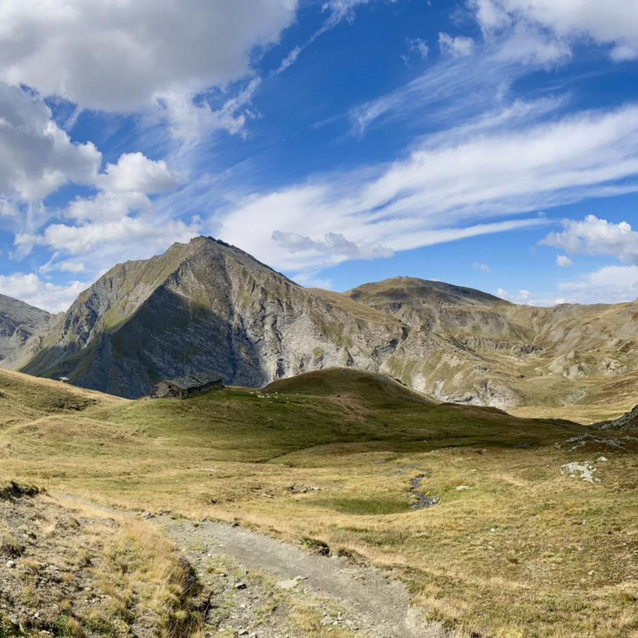
Mountaineering routes around Massello traverse a landscape characterized by significant elevation changes and varied terrain within the Torino region. The area features challenging ascents to prominent peaks and passes, with routes often leading through alpine meadows, rocky sections, and forested valleys. These mountaineering trails offer opportunities to explore high-altitude environments and experience the rugged natural beauty of the Italian Alps.
Best mountaineering routes around Massello
- The most popular mountaineering route is Laghetto del Chiosonetto – Chisonetto Springs loop from Sestriere…
Last updated: October 10, 2026
5.0
(1)
12
hikers
14.2km
07:17
1,180m
1,180m
Hard mountaineering route. Very good fitness required. Sure-footedness, sturdy shoes and alpine experience required.
12
hikers
10.4km
03:26
490m
490m
Moderate mountaineering route. Good fitness required. Easily-accessible paths. Suitable for all skill levels.

6
hikers
14.9km
06:49
1,080m
1,080m
Hard mountaineering route. Very good fitness required. Sure-footedness, sturdy shoes and alpine experience required.
4
hikers
6.55km
02:33
260m
250m
Moderate mountaineering route. Good fitness required. Mostly accessible paths. Sure-footedness required.
2
hikers
5.47km
02:15
250m
250m
Moderate mountaineering route. Good fitness required. Mostly accessible paths. Sure-footedness required.
Our route recommendations are based on thousands of hikes, rides, and runs completed by other people on komoot.
Start today with a free account
Your next adventure awaits.

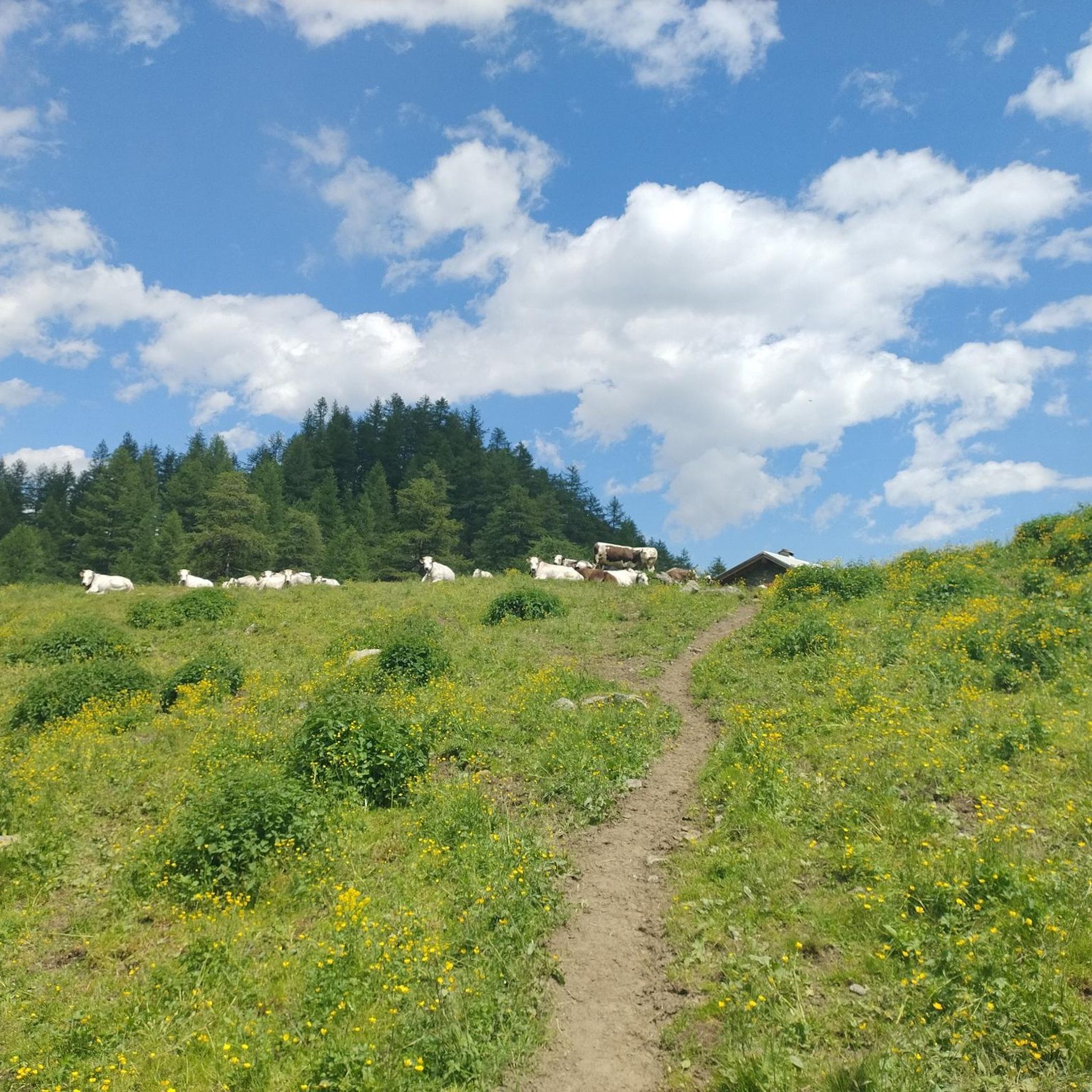
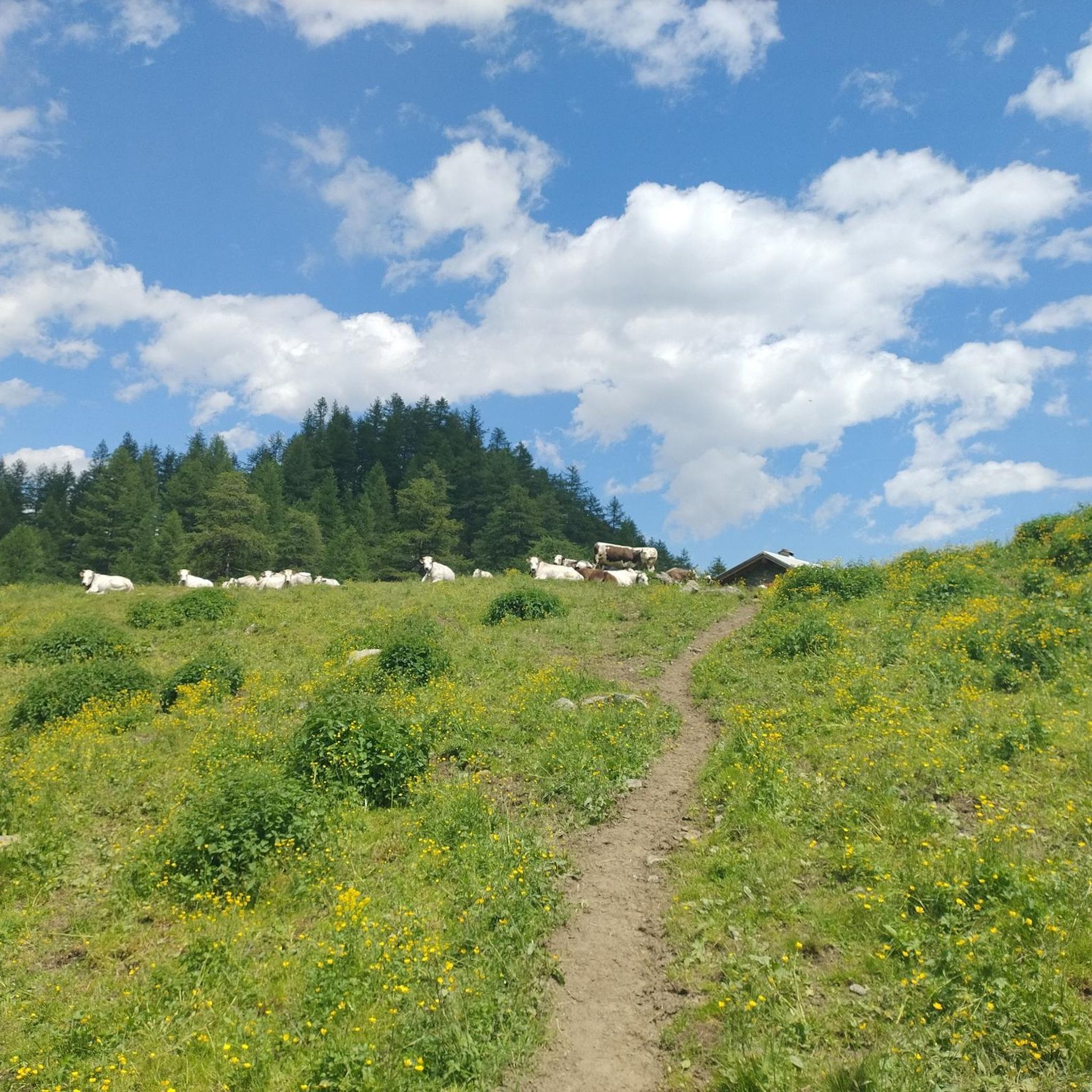
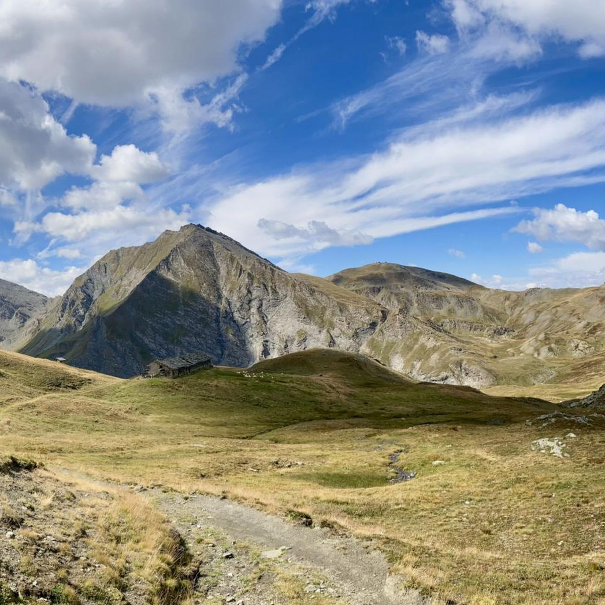
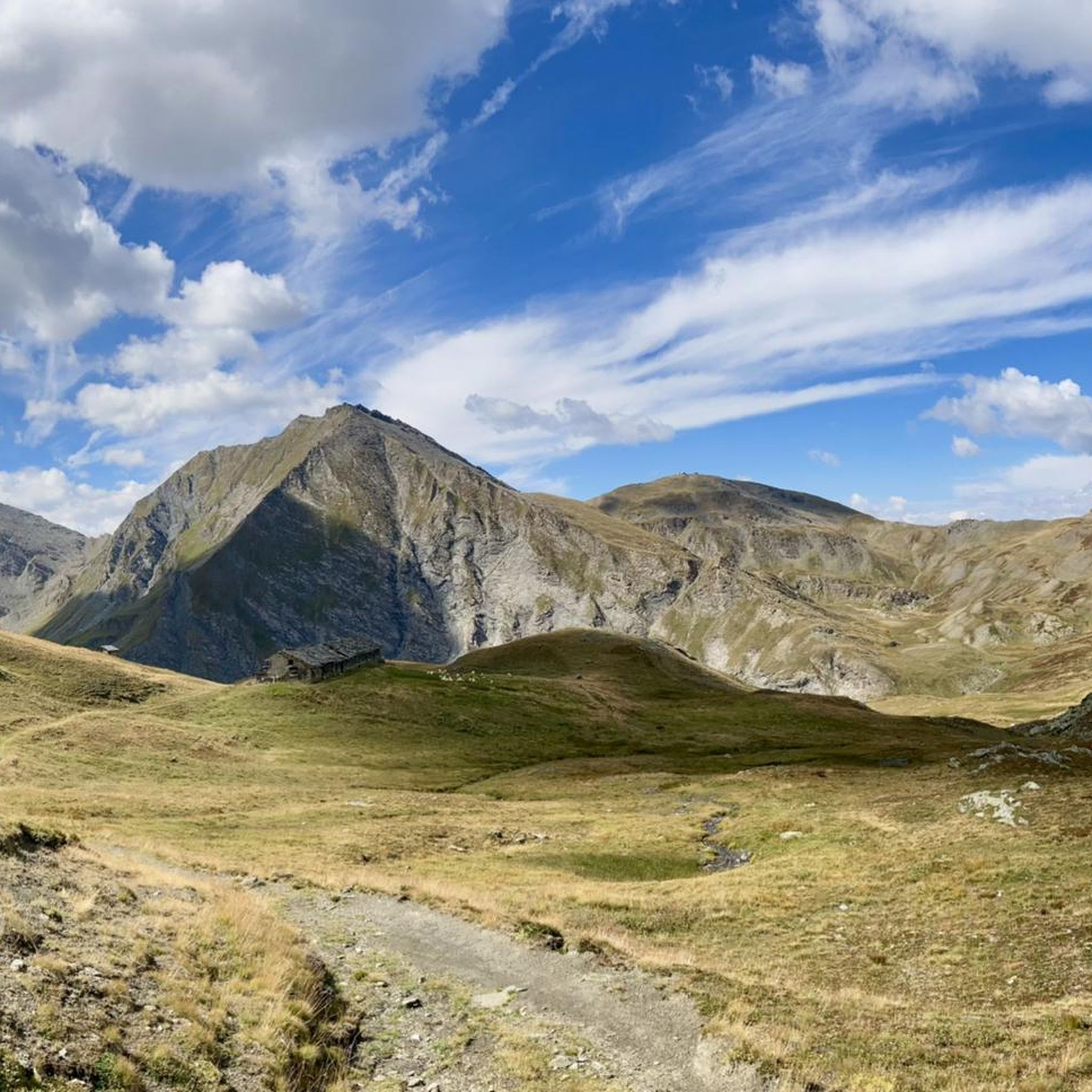

Other adventures around Massello

Tips from the Community

A small lake formed by the damming of the Chisonetto stream
0
1

view of the 13 lakes basin
1
0
beautiful refuge in the Selleries valley
0
0

excellent trip with the possibility of loops
0
0

A summit offering a stunning 360-degree view! Highly recommended for a beautiful sunset!
0
0

A beautiful circular hike. Beware, however, of the misleading two-hour indication! Messner might be able to manage it. If you're a regular hiker, no less than three hours or more... WARNING: Once you reach Lake Cannoni or Ramella, if you suffer from vertigo, do not follow the signs for trail A on the right. There are exposed sections, and one section is equipped with a damaged rope. Turn left and you will rejoin the outward route at the level of the early 1900s forts.
1
0

Comfortable footwear for mostly soft terrain
0
0

The Selleries refuge is located in the municipality of Roure (TO), in the Chisone valley, in the Cottian Alps, at 2,035 m above sea level. It can be easily reached by mountain bike from the paved road, but also on foot. The craft beers are excellent.
0
0
Frequently Asked Questions
How many mountaineering routes are available around Massello?
There are 8 mountaineering routes documented around Massello on komoot. These routes offer a variety of experiences, from moderate ascents to more challenging high-alpine expeditions.
Are there any easy mountaineering routes in Massello for beginners?
While Massello is known for its challenging terrain, there are 3 routes classified as moderate, which can be more accessible for those with some experience. For example, the Jouglard bivouac – Selleries Hut loop from Grange offers a more approachable mountaineering experience, connecting two notable bivouacs.
What are some of the more challenging mountaineering routes in Massello?
Massello features 5 difficult mountaineering routes for experienced adventurers. A notable challenging option is the Laghetto del Chiosonetto – Chisonetto Springs loop from Sestriere, which is 9.0 miles (14.6 km) long and involves significant elevation gain through alpine scenery.
How long do mountaineering routes in Massello typically take to complete?
The duration of mountaineering routes in Massello varies significantly based on difficulty and length. Moderate routes, like the Jouglard bivouac – Selleries Hut loop from Grange, can take around 3 hours 28 minutes. More difficult routes, such as the Monte Albergian Summit loop from Pragelato, can extend to 7 hours 27 minutes or more.
Are there any circular mountaineering routes in the Massello area?
Yes, many of the mountaineering routes around Massello are designed as loops, allowing you to start and finish at the same point. Examples include the Laghetto del Chiosonetto – Chisonetto Springs loop from Sestriere and the Lago della Manica – Colle Superiore di Malanotte loop from Cianfulcre.
What kind of natural attractions can I expect to see along mountaineering routes in Massello?
Mountaineering routes in Massello often lead through stunning natural landscapes. You might encounter beautiful alpine lakes such as Lake Laux or the 13 Lakes Plateau (Pian dei 13 Laghi). The region is characterized by high mountain passes and rugged terrain, offering panoramic views.
Is Massello a good destination for advanced mountaineers?
Absolutely. Massello is well-suited for advanced mountaineers, with 5 out of 8 routes classified as difficult. These routes often feature significant elevation gains and challenging terrain, such as the Punta Cerisira loop from Prali, which covers over 11 miles and has substantial ascent.
What do other mountaineers say about the routes in Massello?
The mountaineering routes in Massello are highly regarded by the komoot community, with an average rating of 4.2 stars from 4 reviews. Mountaineers often praise the challenging ascents, the rugged natural beauty, and the opportunities to explore high-altitude environments in the Italian Alps.
Are there any specific landmarks or points of interest near the mountaineering trails?
Beyond the natural beauty, the area around Massello offers several points of interest. You might find yourself near summits like Monte Fraiteve or discover unique natural monuments such as Pian dell'Alpe, which can be explored as part of or alongside your mountaineering adventures.
What is the best season for mountaineering in Massello?
The best season for mountaineering in Massello typically runs from late spring to early autumn (June to September) when the high mountain passes are generally free of snow and weather conditions are more stable. Winter mountaineering is possible but requires specialized equipment and experience due to snow, ice, and avalanche risks.
Is it possible to reach the trailheads in Massello using public transport?
While specific public transport options to every trailhead can vary, the Massello region, being part of the Italian Alps, often has limited public transport directly to remote starting points. It's advisable to research local bus services or consider carpooling for access to many mountaineering trailheads.
Are the mountaineering routes in Massello suitable for dogs?
Many mountain trails in the Italian Alps are dog-friendly, but it's always best to check local regulations for specific routes or protected areas. Ensure your dog is fit for the terrain and duration, and always keep them on a leash, especially in areas with livestock or wildlife.
Most popular attractions around Massello

Get inspired with the komoot mobile app


Explore more
Browse the best Mountain Hikes & Routes in other regions.
