The best mountain hikes around Frisanco
4.2
(4)
17
hikers
3
hikes
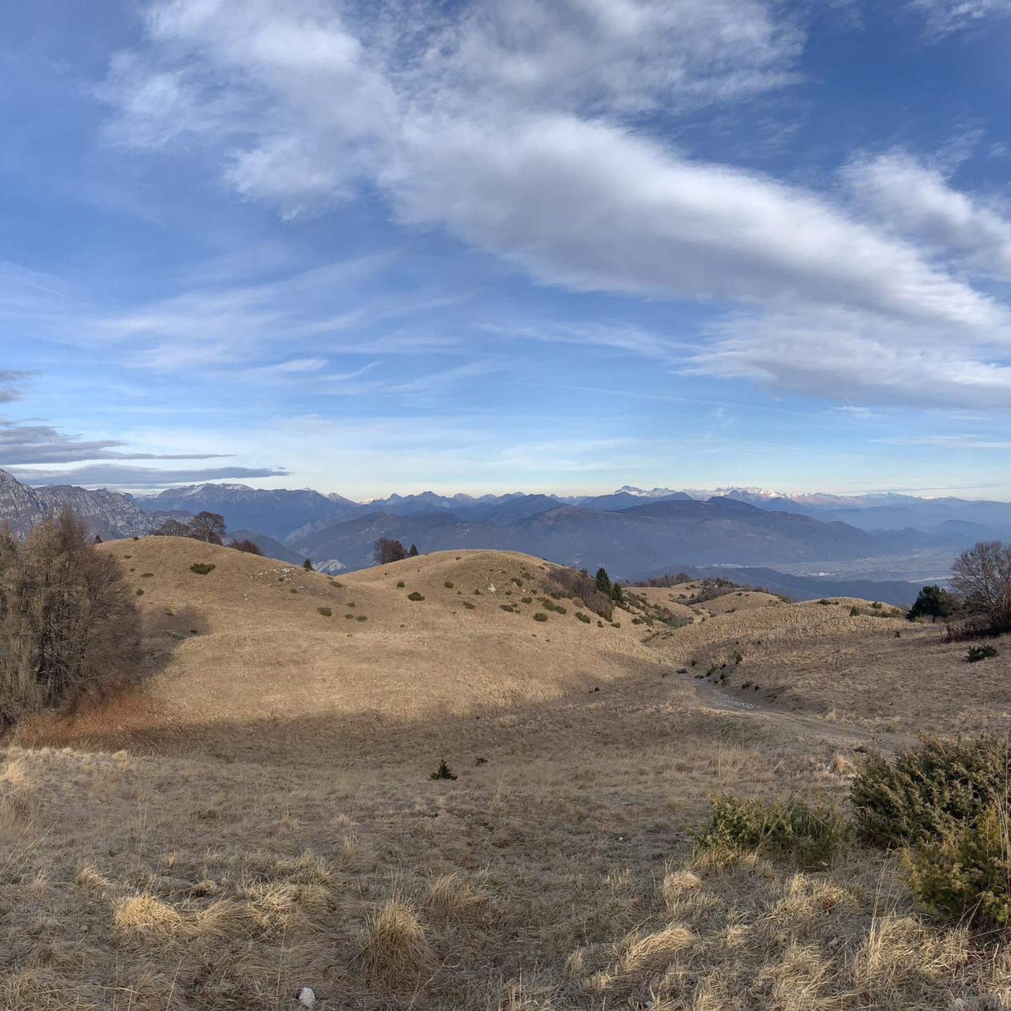
Mountaineering routes around Frisanco are set within Italy's Friuli Venezia Giulia region, specifically within the UNESCO-recognized Dolomiti Friulane Natural Park. This area is characterized by the imposing Carnian Prealps, featuring significant peaks like Monte Raut, and diverse landscapes ranging from tree-covered hills to dramatic scree and limestone formations. The region's unique geology, primarily composed of limestone and dolomite rock, creates jagged peaks and bold towers, offering varied terrain for mountaineers.
Best mountaineering routes around Frisanco
- The most popular mountaineering route…
Last updated: October 9, 2026
3.0
(1)
8
hikers
11.8km
04:22
790m
790m
Moderate mountaineering route. Good fitness required. Easily-accessible paths. Suitable for all skill levels.
4.5
(2)
8
hikers
10.1km
05:04
830m
830m
Hard mountaineering route. Very good fitness required. Sure-footedness, sturdy shoes and alpine experience required.

5.0
(1)
1
hikers
7.70km
03:40
620m
620m
Moderate mountaineering route. Good fitness required. Mostly accessible paths. Sure-footedness required.
Our route recommendations are based on thousands of hikes, rides, and runs completed by other people on komoot.
Start today with a free account
Your next adventure awaits.
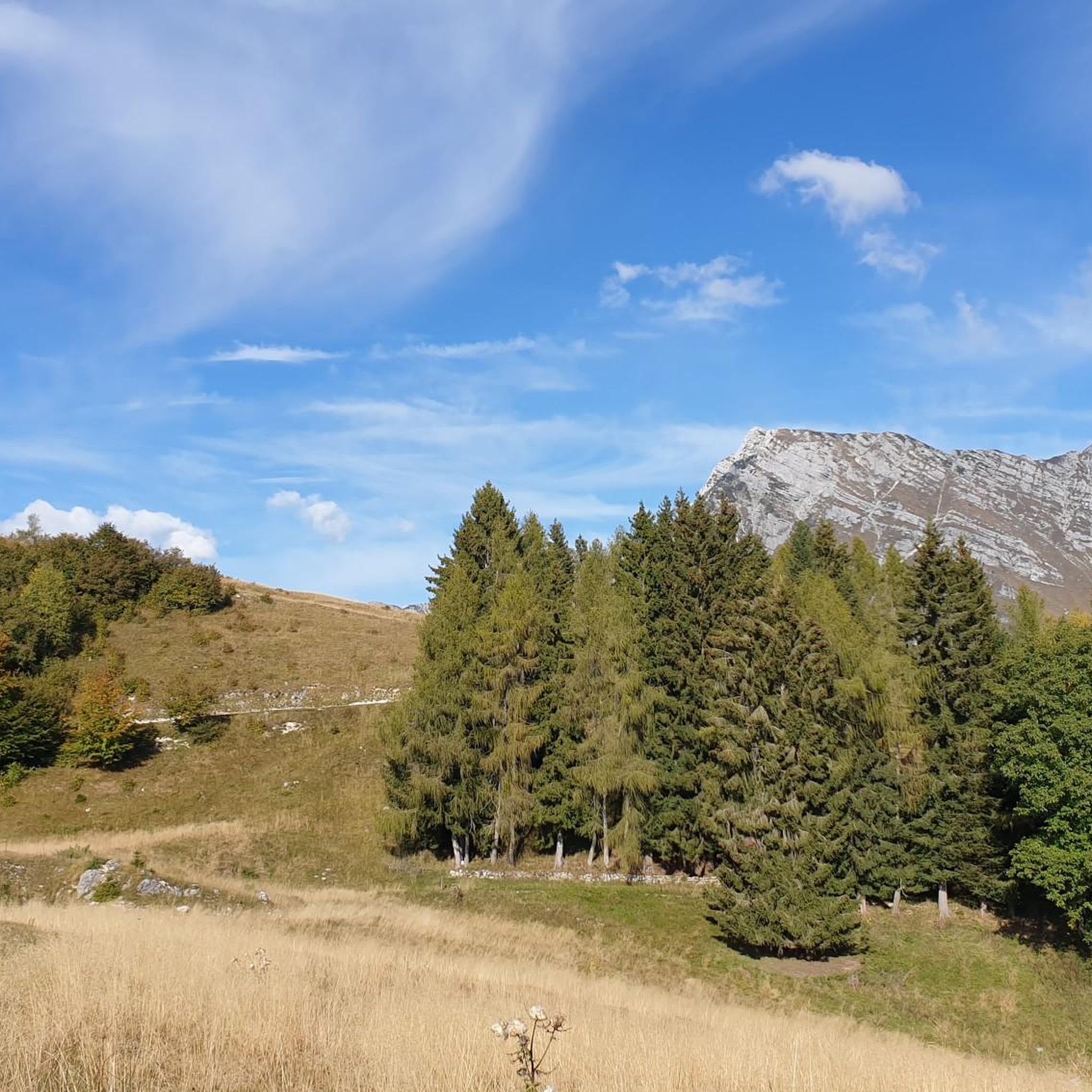
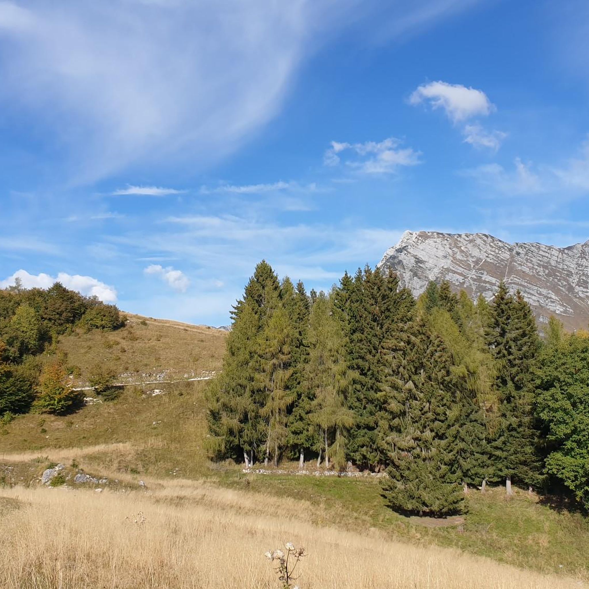
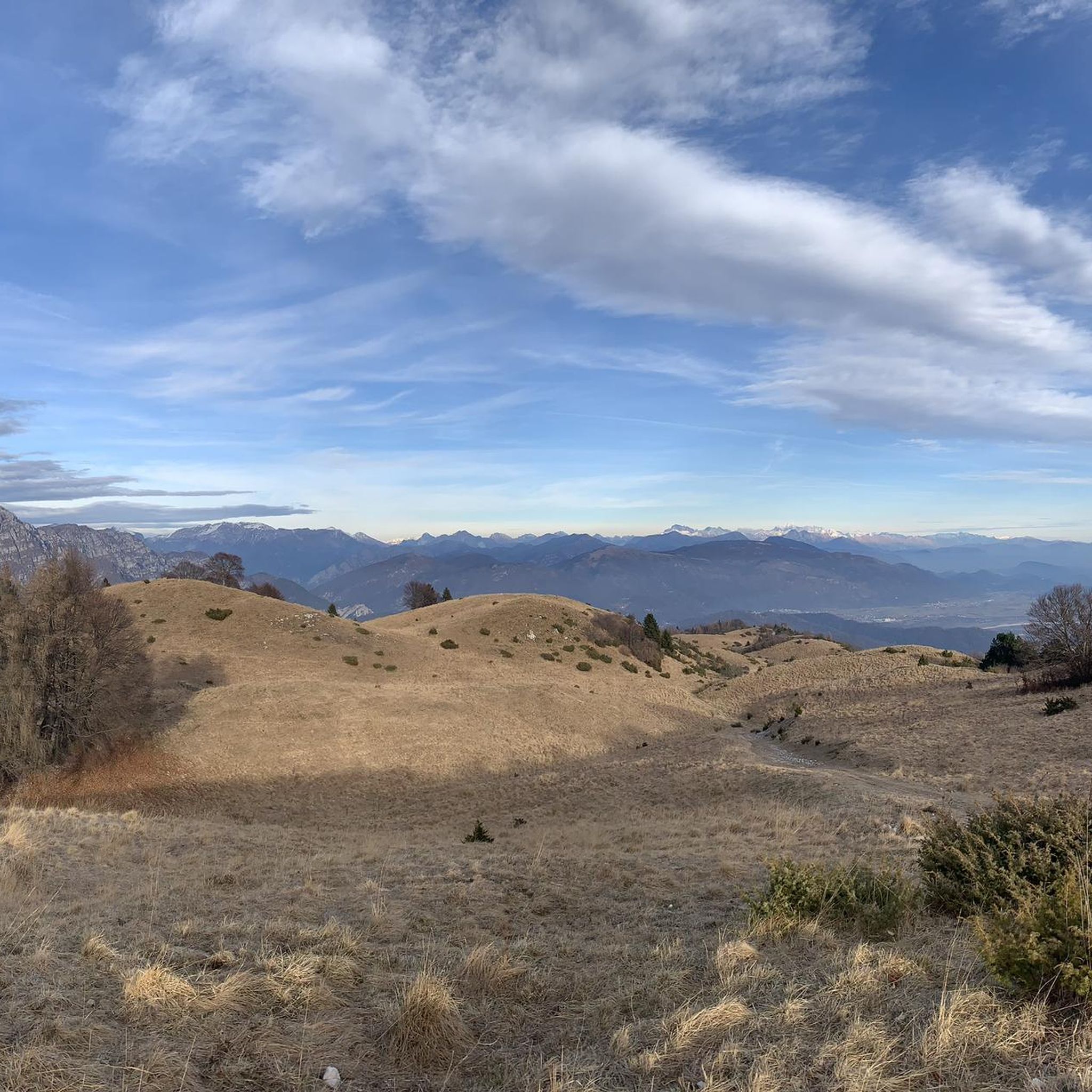
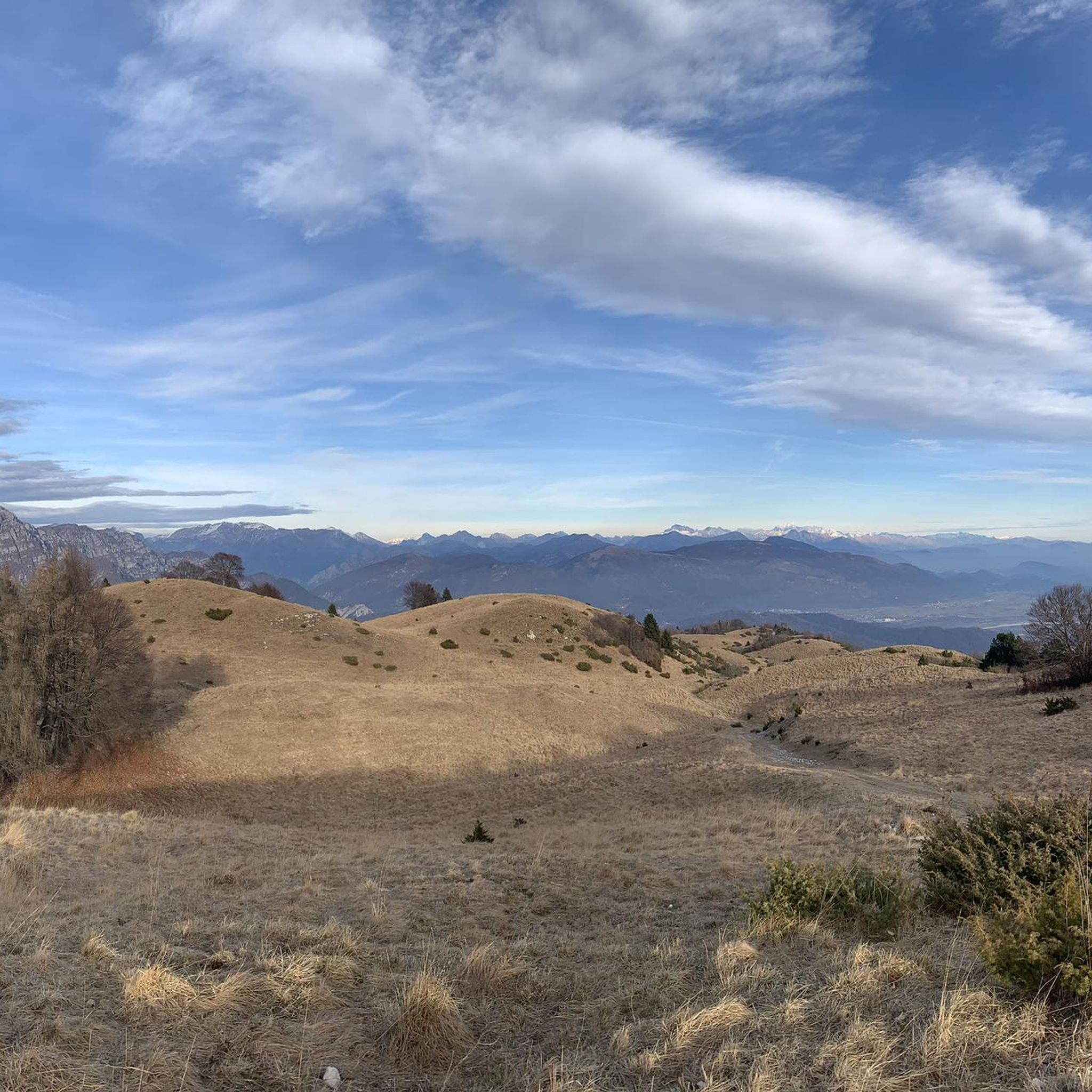
Tips from the Community

The Rifugio Pradut, at 1,450 m, is open all year round depending on weather conditions, offers typical local cuisine and overnight accommodation for hikers. Excellent starting point for ascents to Cimon del Pradut. For up-to-date information: https://www.facebook.com/angelograva.pradut/
2
0

The little bridge leads to the hamlet of Lesis
0
0

From the top you can enjoy a beautiful view, from a particular perspective on Claut.
0
1

Beautiful refuge, tastefully restored structure. Insane panorama on the valley below. Perfect for a stop or as a base.
2
0

https://youtu.be/FeI1BWxqkYI. The most beautiful balcony in the Province of Pordenone
0
0

The refuge is open today and there are several hikers, it offers a beautiful view of the valley below, it has tables inside and a terrace outside. The kind and friendly owner had us prepare 2 excellent tagliatelle with porcini mushrooms. The place is well kept tidy and clean.
0
0

Beginning or end of the tour of the crests of San Gualberto...here, with the Pais, you will find history and the little church dedicated to the saint...
0
0

Frequently Asked Questions
What kind of terrain can I expect on mountaineering routes around Frisanco?
Mountaineering routes around Frisanco are primarily set within the UNESCO-recognized Dolomiti Friulane Natural Park and the Carnian Prealps. You'll encounter a diverse landscape ranging from tree-covered hills to dramatic scree and imposing limestone and dolomite rock formations, characteristic of the Dolomites. The region offers a profound sense of wilderness with varied terrain for all levels.
Are there any beginner-friendly mountaineering routes in Frisanco?
While many routes in Frisanco require good fitness and alpine experience, there are options for those seeking a moderate challenge. For example, the Rifugio Pradut loop from Lesis is a moderate 7.4-mile (11.9 km) path leading through varied terrain, including forested sections and open mountain views, with an elevation gain of over 2,500 feet.
What are some challenging mountaineering routes around Frisanco?
For experienced mountaineers, Frisanco offers several demanding routes. The Monte Raut – Forcella Capra loop from Forcella di Pala Barzana is a difficult 5.6-mile (9.0 km) trail that takes about 6 hours to complete, offering challenging ascents around Monte Raut. Another difficult option is the Cima Val Tremuoia – Cima dei Fager loop from Claut / Cjolt, a 6.0-mile (9.6 km) trail through rugged landscapes.
What is the best season for mountaineering in Frisanco?
The best season for mountaineering in Frisanco is typically from late spring through early autumn (May to October), when the weather is generally stable and trails are clear of snow. During winter, the park transforms, offering opportunities for snowshoeing and ski mountaineering, but these require specific equipment and experience.
Are there any circular mountaineering routes available?
Yes, several routes around Frisanco are designed as loops, allowing you to start and end at the same point. Examples include the difficult Monte Raut – Forcella Capra loop from Forcella di Pala Barzana and the moderate Rifugio Pradut loop from Lesis. Another circular option is the Monte Lupo – Forcella Vallata loop from Barcis / Barce.
What kind of natural features or landmarks can I see along the routes?
The region is rich in natural beauty. You can explore spectacular gorges like the Forra del Cellina, carved by the Cellina stream into limestone strata. There are also unique geological formations, including jagged peaks and bold towers. Specific highlights include the First Viewpoint (Skywalk del Dint) and the Old Road Along the Calvare di Jouf Gorge. The area is also known for its caves, such as Grotta Landri Scur.
What do other mountaineers enjoy most about the routes in Frisanco?
The mountaineering routes in Frisanco are highly rated by the komoot community, with an average score of 4.3 stars from over 7 reviews. Mountaineers often praise the wild character of the Dolomiti Friulane Natural Park, the distinctive limestone and dolomite rock formations, and the varied terrain that offers both moderate and difficult challenges.
Are there any specific permits required for mountaineering in the Dolomiti Friulane Natural Park?
Generally, no specific permits are required for hiking or mountaineering on marked trails within the Dolomiti Friulane Natural Park. However, it's always advisable to check with local visitor centers or park authorities for any specific regulations, especially if planning off-trail excursions or overnight stays.
Are there any opportunities for winter mountaineering or snow activities?
Yes, in winter, the Dolomiti Friulane Natural Park transforms, offering opportunities for snowshoeing and ski mountaineering. Some areas may also provide conditions for ice climbing on frozen waterfalls. These activities require appropriate gear, experience, and awareness of avalanche risks.
How many mountaineering routes are available around Frisanco?
There are several dedicated mountaineering routes around Frisanco. This guide highlights 4 distinct routes, offering a mix of moderate and difficult challenges within the stunning landscapes of the Dolomiti Friulane Natural Park.
What is the typical duration for these mountaineering routes?
The duration of mountaineering routes around Frisanco varies depending on the trail's difficulty and length. For example, the difficult Monte Raut – Forcella Capra loop typically takes around 6 hours, while the moderate Rifugio Pradut loop can be completed in about 4.5 hours.
Are there any routes that pass by mountain huts or refuges?
Yes, some routes in the region offer opportunities to pass by or stay at mountain huts. For instance, the Rifugio Pradut loop from Lesis is a moderate route that includes a mountain refuge, providing a chance for a break or an overnight stay amidst the beautiful scenery.
Most popular routes around Frisanco
Most popular attractions around Frisanco

Get inspired with the komoot mobile app


Explore more
Browse the best Mountain Hikes & Routes in other regions.
