The best running trails around Prezza
3.9
(21)
289
runners
70
runs
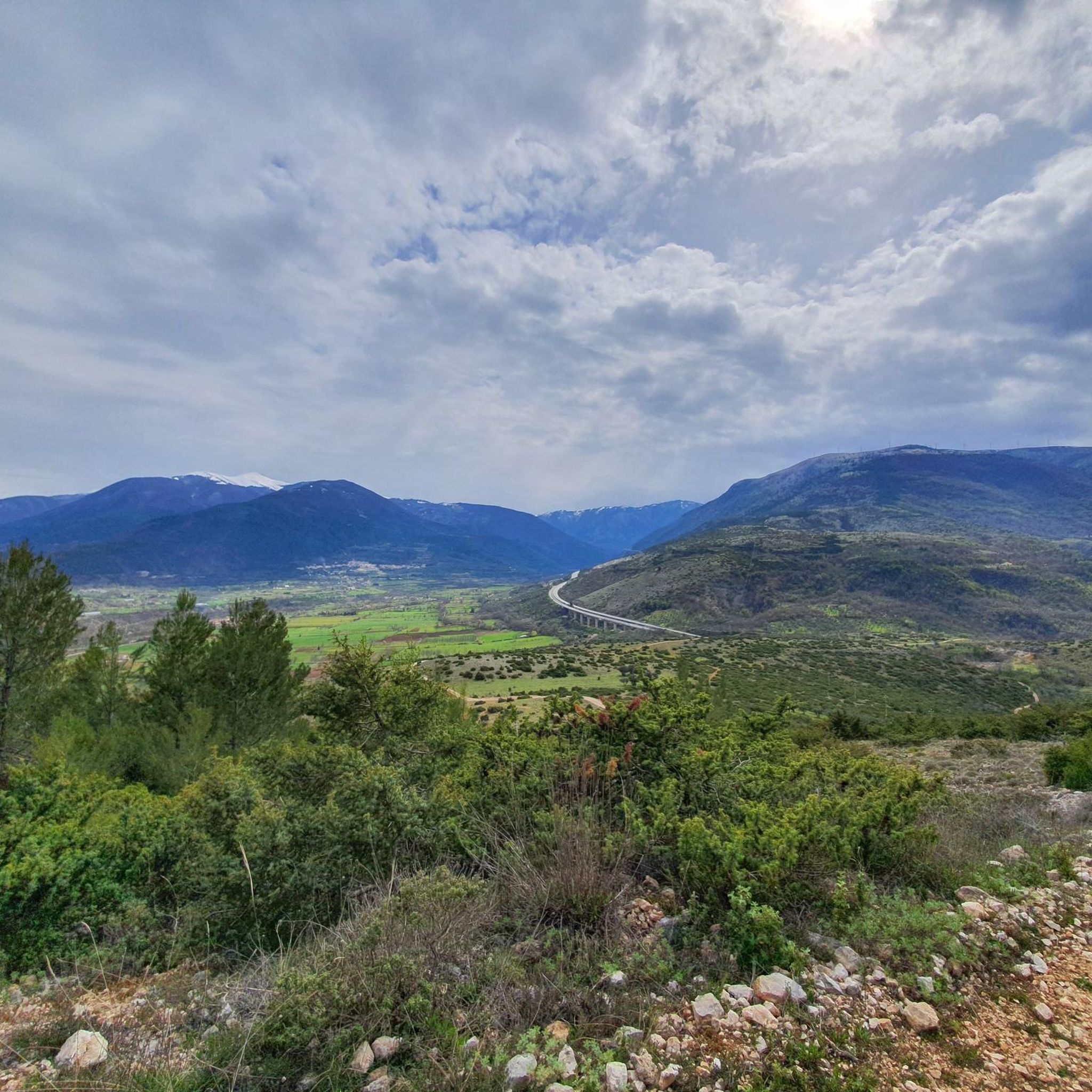
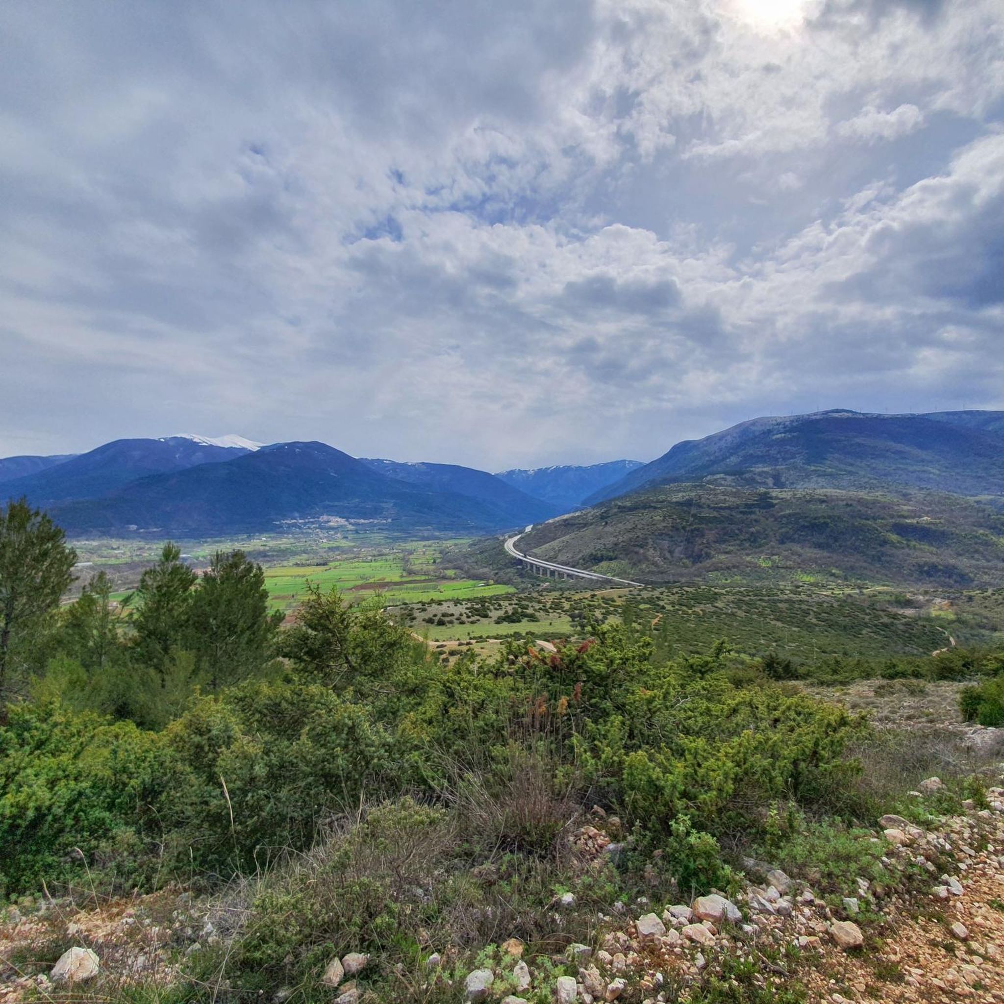
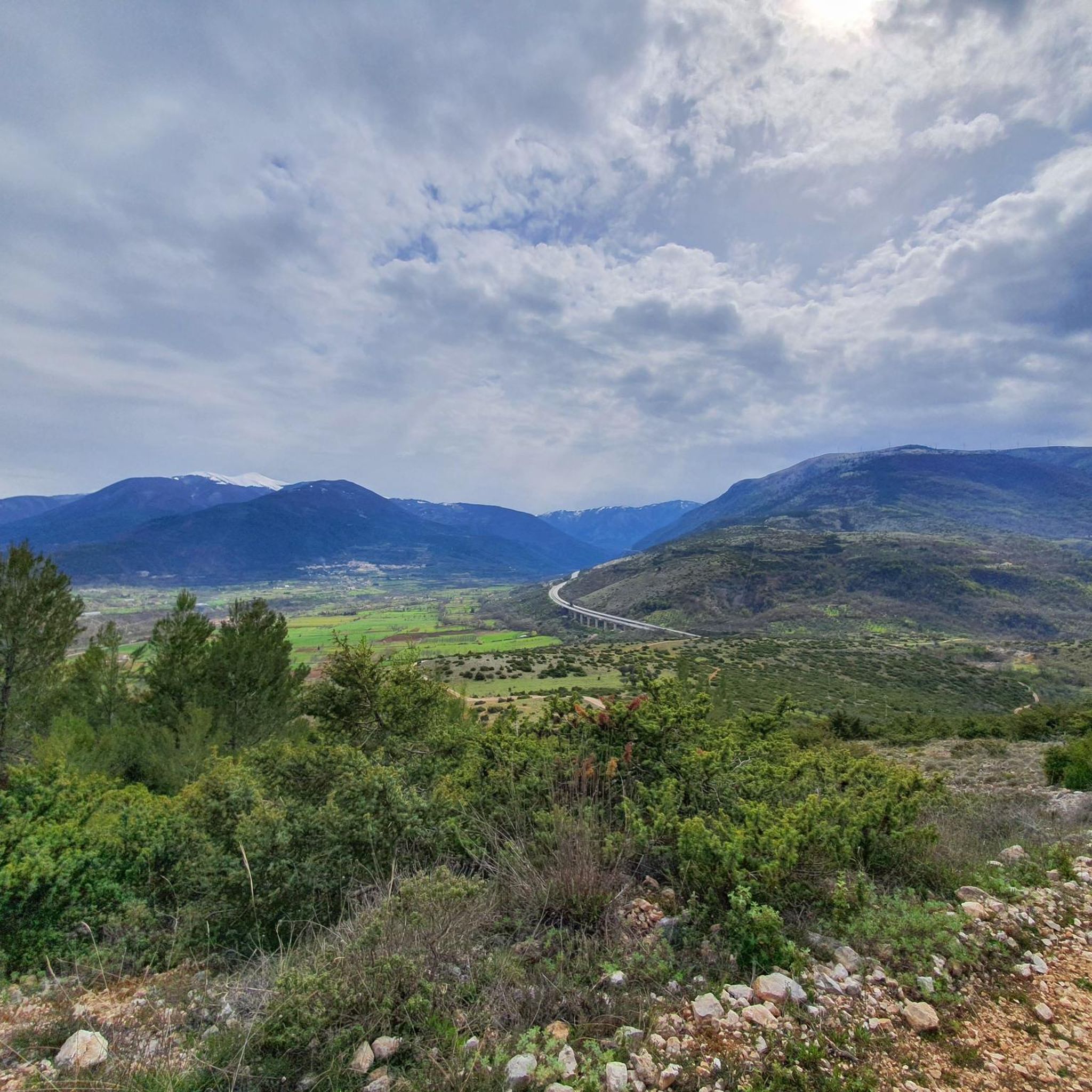
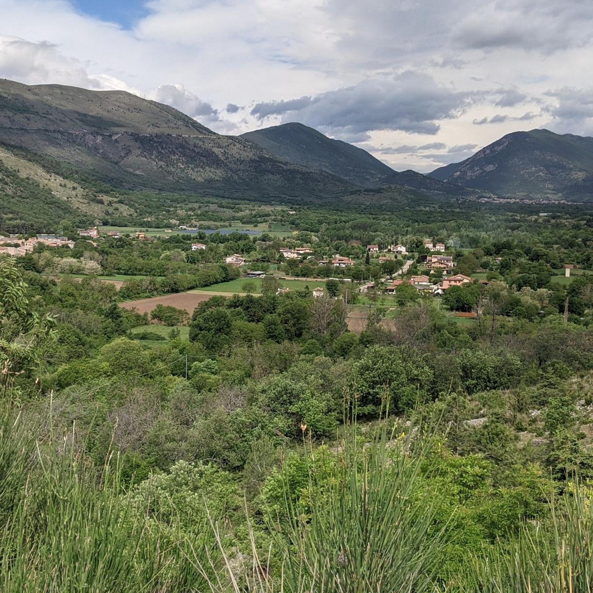
Jogging around Prezza offers diverse routes through the central Abruzzo region, characterized by its mountainous terrain and the fertile Valle Peligna. Situated at approximately 480 meters above sea level, the town provides varied elevations suitable for running, from gentle slopes to more challenging ascents. The area is surrounded by extensive protected areas, including Sirente-Velino Regional Park and Majella National Park, which feature numerous trails. These natural settings provide varied surfaces for running, enhancing physical performance and coordination.
Best jogging routes…
Last updated: October 9, 2026
11
runners
9.80km
01:01
60m
60m
Moderate run. Good fitness required. Mostly paved surfaces. Suitable for all skill levels.
7
runners
5.76km
00:37
60m
60m
Moderate run. Good fitness required. Mostly paved surfaces. Suitable for all skill levels.

2.0
(1)
6
runners
Moderate run. Good fitness required. Mostly paved surfaces. Suitable for all skill levels.
4
runners
7.53km
00:53
110m
110m
Moderate run. Good fitness required. Mostly paved surfaces. Suitable for all skill levels.
6
runners
26.8km
03:21
730m
730m
Hard run. Very good fitness required. Mostly paved surfaces. Suitable for all skill levels.
Get access to more routes and recommendations from other explorers.
Already have an account?
Our route recommendations are based on thousands of hikes, rides, and runs completed by other people on komoot.
Start today with a free account
Your next adventure awaits.
Tips from the Community

The medieval aqueduct of Sulmona runs alongside the central Piazza Garibaldi and is one of the symbols of the city of Sulmona.
0
0
The Medieval Aqueduct is one of the symbols of the city of Sulmona. It runs alongside the central Piazza Garibaldi and was built in 1256 during the reign of Manfred of Swabia.
0
0

San Panfilo is the cathedral or dome of Sulmona. It dates back to the 8th or 10th century. It was declared a national monument in 1902.
1
0

Porta Filiamabili was a secondary gate of the walls of Sulmona, it came after Porta Sant'Antonio
0
0
The arrival in Piazza Garibaldi, in Sulmona, is preceded by the Fontana Del Vecchio and the arches of the aqueduct
0
0
Main road that goes from the municipal villa to Porta Napoli
0
0

Sulmona, the heart of Abruzzo and close to the Maiella National Park, is famous for its sugared almonds and the tradition of Ovid, a Latin poet born here. It boasts an ancient aqueduct dating back to 1256, the historic Filiamabili gate and the lively Corso Ovidio.
0
0
Porta Napoli, or Porta Nuova, is the most famous gate of Sulmona, located at the entrance to Corso Ovidio on the side of Piazza Vittorio Veneto.
0
0
Frequently Asked Questions
How many running routes are available around Prezza?
There are over 50 running routes available around Prezza, offering a wide variety of options for joggers of all levels. The area is highly rated by the komoot community, with an average score of 3.0 stars from 3 reviews.
What kind of terrain can I expect on running trails near Prezza?
Jogging around Prezza offers diverse terrain, from the fertile Valle Peligna with its paths and tracks, to the varied elevations of the Apennine mountains. You'll find everything from gentle slopes to more challenging ascents, often on natural surfaces that are softer on joints than asphalt. The Gorges of San Venanzio also provide a unique scenic experience with trails winding alongside the Aterno river.
Are there options for different running abilities in Prezza?
Yes, the routes in the Prezza area cater to various skill levels. While there are no routes specifically classified as 'easy' in our current selection, there are 36 moderate routes and 20 more challenging ones, ensuring options for both casual runners and those seeking a more intense workout.
Are there any circular running routes around Prezza?
Many of the running paths around Prezza are designed as loops, offering convenient circular routes. For example, you can enjoy the Running loop from Campo di Fano, a moderate 3.6-mile path, or the Running loop from Sulmona, which covers 5.1 miles through the Valle Peligna.
What natural features can I see while running in the Prezza area?
The Prezza area is rich in natural beauty. You can explore the expansive Valle Peligna, which offers stunning views, or run through the scenic Gorges of San Venanzio. The region is also close to major protected areas like Sirente-Velino Regional Park and Majella National Park, known for their diverse landscapes.
Are there any historical landmarks or points of interest along the running paths?
Yes, the Prezza area is dotted with historical sites. You might encounter the impressive Abbey of Santo Spirito al Morrone, the historic Pacentro Castle, or the ancient Ancient Roman Aqueduct of Uccole. The town of Sulmona, nearby, also features the notable Piazza Garibaldi and Medieval Aqueduct.
Is parking available near the running routes in Prezza?
While specific parking details for each route are not always listed, Prezza is a small town, and parking is generally available within the town center or near popular trailheads. It's advisable to check local signage upon arrival for the most current parking information.
What is the best time of year for running in Prezza?
Abruzzo, known as 'the greenest region in Europe,' offers excellent running conditions for much of the year. Spring and autumn provide pleasant temperatures and vibrant scenery. Summer can be warm, but early morning or late afternoon runs are enjoyable. Winter running is possible, especially on lower elevation trails, though higher mountain paths may require specific gear or be inaccessible due to snow.
Can I bring my dog on the running trails around Prezza?
Many outdoor trails in Italy, especially in regional and national parks, are dog-friendly, often requiring dogs to be on a leash. While specific regulations for every path around Prezza aren't detailed, it's generally a good idea to keep your dog leashed and ensure you clean up after them to respect the natural environment and other users.
Are there any longer running routes for endurance training?
Yes, for those looking for longer runs, the Cathedral of San Panfilo – Corso Ovidio, Sulmona loop from Sulmona is a popular choice. This route spans 8.1 miles (13.0 km) and offers a mix of urban and scenic views, taking approximately 1 hour and 22 minutes to complete.
What makes running in Prezza unique compared to other regions?
Running in Prezza offers a unique blend of challenging mountainous terrain within the Apennines and the serene, fertile Valle Peligna. Its proximity to extensive protected areas like Sirente-Velino Regional Park means access to diverse ecosystems and stunning panoramic views, providing a varied and invigorating outdoor experience that engages both body and mind.
Most popular attractions around Prezza

Get inspired with the komoot mobile app


Explore more
Browse the best Running Trails & Routes in other regions.
