The best walks and hikes around Canosa Di Puglia
4.2
(13)
63
hikers
8
hikes
Hiking around Canosa Di Puglia offers exploration of a landscape shaped by history and natural features. The region is situated on the northwestern edge of the Murgia plateau, providing varied terrain that overlooks the Ofanto valley. Hikers can traverse areas characterized by extensive vineyards and olive groves, as well as ancient archaeological sites. The proximity to the Alta Murgia National Park further expands the opportunities for discovering wild landscapes and unique karst formations.
Best hiking trails around Canosa Di Puglia
…Last updated: October 10, 2026
3.5
(6)
28
hikers
24.1km
06:27
300m
250m
Hard hike. Very good fitness required. Easily-accessible paths. Suitable for all skill levels.
1
hikers
20.2km
05:05
20m
20m
Hard hike. Very good fitness required. Mostly accessible paths. Sure-footedness required.

11
hikers
7.90km
02:01
30m
30m
Moderate hike. Good fitness required. Easily-accessible paths. Suitable for all skill levels.
4.0
(1)
9
hikers
Moderate hike. Good fitness required. Easily-accessible paths. Suitable for all skill levels.
4.7
(3)
7
hikers
Moderate hike. Good fitness required. Easily-accessible paths. Suitable for all skill levels.
Get access to more routes and recommendations from other explorers.
Already have an account?
Our route recommendations are based on thousands of hikes, rides, and runs completed by other people on komoot.
Start today with a free account
Your next adventure awaits.
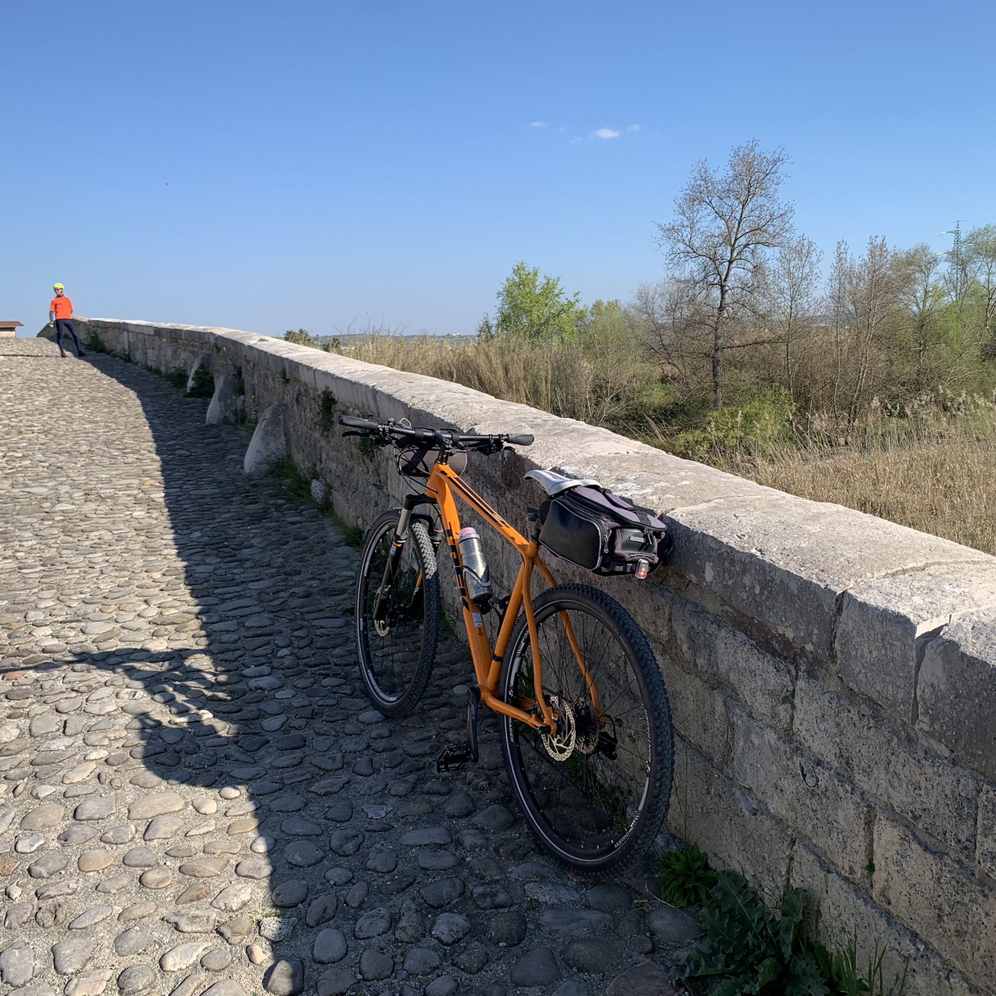
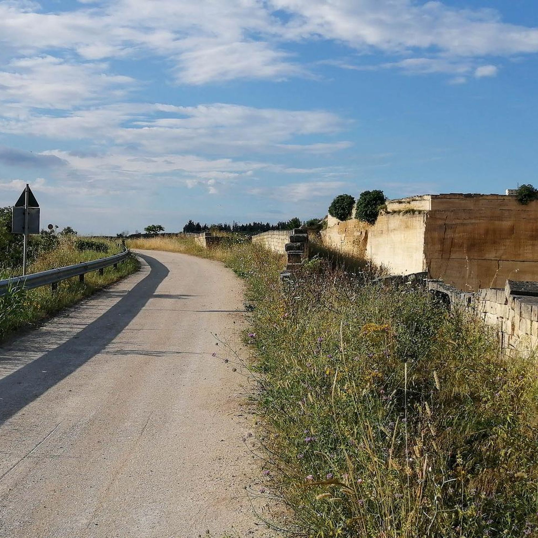
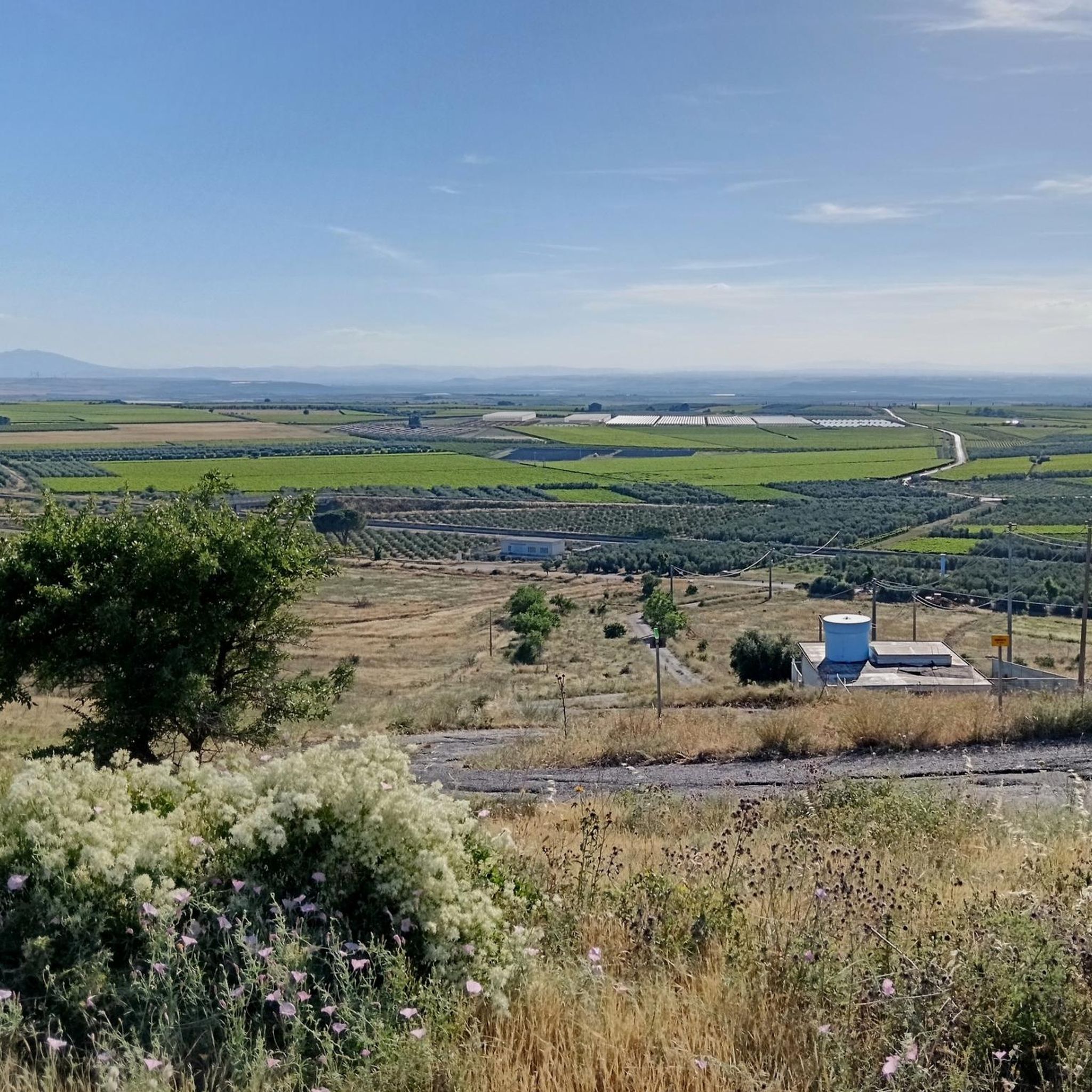
Tips from the Community

The site of Canne della Battaglia is mainly remembered for the decisive battle of 216 BC, fought between the Romans and Carthaginians during the Second Punic War. The hilly reliefs overlooking the Ofanto valley have been inhabited since the Neolithic period and continuously until the 3rd century BC, most likely in conjunction with the epic clash that disrupted the settlement patterns of the entire area. In Roman times, it is recalled in the sources as the emporium of Canusium, in whose shadow it lived until the latter's abandonment in the second half of the 9th century. From this moment, Canne began its most important historical phase, linked to the stabilization of Byzantine power in Puglia. Thanks to its strategic position, the Cannese village, likely built on a pre-existing Roman structure and known today as the 'Cittadella', was re-occupied from the late antique period and consolidated in the following centuries, around two main centers, the basilicas and the castle, also thanks to the establishment of a diocese, led, in the early 12th century, by Ruggero, the current patron saint of Barletta. The antiquarium annexed to the archaeological park was created in the late 1950s for the valorization and conservation of artifacts from excavations conducted in the area, starting from the Ventennio, a period of frenetic exaltation of Roman grandeur. Today's exhibition favors the narration of events related to the Second Punic War and the great battle that represented a trauma for the surrounding territory and for the indomitable Roman army. However, according to the current state of research, no archaeological documentation referring to the clash of 216 BC has yet been found, nor can the reconstruction of the landscape on these hills, as described by historical sources, particularly Livy and Polybius, be considered plausible. Rather, the site of Canne, in addition to being located in an area of great landscape and natural value, constitutes, to this day, one of the most interesting examples of abandoned medieval settlements in Italy.
0
0
An ancient watering hole with a large stone basin, located in a 17th-century building in a small valley of remarkable landscape value. It's a shame that the monument remains in a depressing state of neglect.
1
0

216 BC. Museum, ruins of the old city built on the site of the Carthaginian camp. Entrance to the museum is 6 euros. You can lock your bike nearby.
0
0
Beautiful mural with the protagonists of the fight against the mafia
0
0

Impressive archaeological site, great history. Unfortunately I didn't read it carefully, unfortunately closed today.
3
0

The Antiquarium, located at the foot of the fortified citadel and the Archaeological Park, with the remains of the ancient Daunian settlement and the structures from the Roman, early Christian and medieval eras, today offer visitors a complex and fascinating itinerary.
1
0
We are located between the cities of Canosa and Barletta, the site is located on a hill overlooking the right bank of the Ofanto river.
1
0
The museum and the archaeological park are located in an area of great landscape and naturalistic value and are included in the Ofanto Regional Natural Park.
0
0
Frequently Asked Questions
What kind of terrain can I expect on hiking trails around Canosa di Puglia?
Hiking around Canosa di Puglia offers a diverse landscape. You'll find trails traversing extensive vineyards and olive groves, characteristic of the region's agricultural heart. The area is also situated on the northwestern edge of the Murgia plateau, providing varied terrain that overlooks the Ofanto valley, with opportunities to explore unique karst formations and ancient oak forests, especially closer to the Alta Murgia National Park.
Are there any easy hiking trails suitable for beginners in Canosa di Puglia?
Yes, there are options for beginners. The guide lists 2 easy routes. While specific easy routes aren't detailed in the provided data, the region offers walks through agricultural landscapes and historical sites that can be less demanding.
What historical or archaeological sites can I see while hiking near Canosa di Puglia?
Canosa di Puglia is rich in history. Many hikes can incorporate significant archaeological remains. For instance, the San Ruggiero Fountain – Archaeological Site of Cannae loop from Parco archeologico di Canne della Battaglia directly leads through historical sites, including the Archaeological Site of Cannae, famous for the Second Punic War battle. You might also encounter the ancient Roman Bridge over the Ofanto River on walks along the valley, and the area is known for its Ipogei (underground tombs) and remnants of an acropolis.
Are there any circular hiking routes available in the Canosa di Puglia area?
Yes, several routes are designed as loops. For example, the Margherita di Savoia Salt Pans Loop, the Tiro a Segno loop from Cerignola, and the San Ruggiero Fountain – Archaeological Site of Cannae loop from Parco archeologico di Canne della Battaglia are all circular routes, allowing you to start and end at the same point.
What do other hikers say about the trails in Canosa di Puglia?
The hiking routes in Canosa di Puglia are highly rated by the komoot community, with an average score of 3.9 stars from 5 reviews. Hikers often appreciate the blend of historical exploration with scenic walks through agricultural landscapes and the unique environment of the Ofanto Valley.
Can I find trails that offer views or natural features around Canosa di Puglia?
Absolutely. The region's position on the Murgia plateau, overlooking the Ofanto valley, provides scenic views. Trails often pass through picturesque vineyards and olive groves. The Margherita di Savoia Salt Pans Loop offers a unique natural environment, while walks along the Ofanto River, such as the Ofanto River Ford loop from Laghetto artificiale San Mercurio, provide riverine scenery.
Are there any long-distance hiking options or more challenging routes?
While most routes are moderate, the Margherita di Savoia Salt Pans Loop is classified as difficult and covers 20.2 km, taking over 5 hours to complete. This route explores the unique salt pan environment and offers a more extended challenge.
What are some notable landmarks or points of interest near the hiking trails?
Beyond the archaeological sites, you can find several interesting landmarks. The Roman Bridge over the Ofanto River is a historical structure often incorporated into walks. The nearby Hamlet of Montegrosso is considered a gateway to the Alta Murgia National Park, offering further exploration opportunities. Religious buildings like the Cathedral of Saint Peter the Apostle (Cerignola) and the Church of Santa Maria Annunziata of Montaltino are also points of interest in the wider area.
What is the best time of year to go hiking in Canosa di Puglia?
Canosa di Puglia experiences a Mediterranean climate. Spring (April-May) and Autumn (September-October) generally offer the most pleasant temperatures for hiking, avoiding the intense heat of summer. These seasons also showcase the region's agricultural landscapes at their best, with blooming wildflowers in spring or harvest colors in autumn.
Are there opportunities for 'urban trekking' in Canosa di Puglia?
Yes, Canosa di Puglia is known for its archaeological richness, making it ideal for 'urban trekking' or 'birdwatching and archaeology' itineraries. You can combine physical activity with discovering the town's ancient history, including its Ipogei (underground tombs) and other significant archaeological remains within and just outside the town center.
What kind of elevation gain can I expect on hikes in this region?
The Murgia region is predominantly flat, but some trails do feature moderate elevation changes. For example, the Church of San Michele – San Michele Cave loop from Calcara has an elevation gain of approximately 243 meters, offering a more undulating experience compared to flatter routes like the Margherita di Savoia Salt Pans Loop which has minimal elevation.
Can I find trails that follow the Ofanto River?
Yes, the Ofanto River is a prominent natural feature in the region. The Ofanto River Ford loop from Laghetto artificiale San Mercurio is an excellent option for exploring the river's banks and the surrounding valley, offering scenic views and a chance to see the ancient Roman Bridge.
Most popular attractions around Canosa Di Puglia

Get inspired with the komoot mobile app


Explore more
Browse the best Hikes in other regions.
