The best mountain hikes around Lac de Migouélou
4.8
(8)
39
hikers
6
hikes
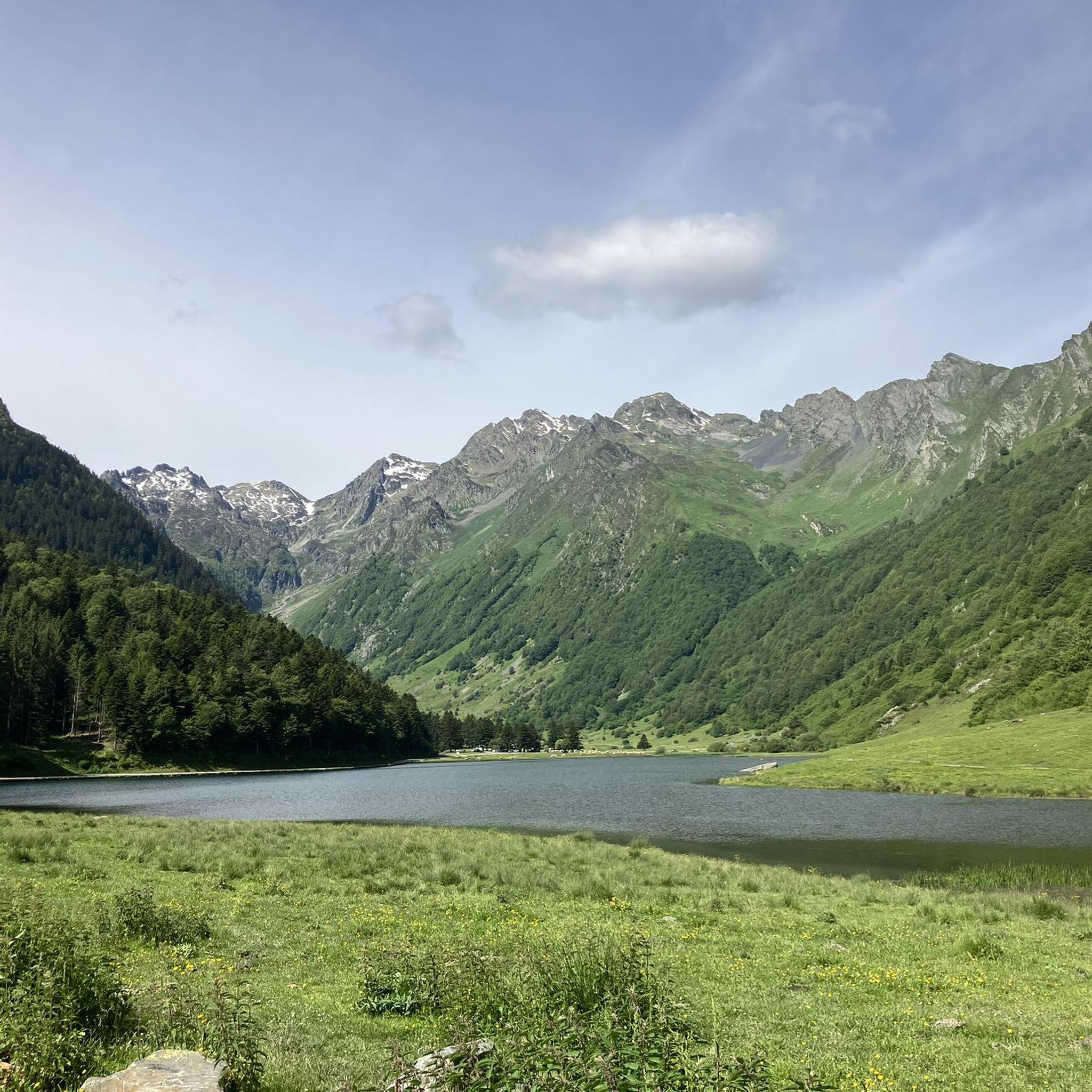
Mountaineering around Lac de Migouélou offers challenging high-mountain experiences within the Pyrenees National Park. The region is characterized by a deep blue lake situated at 2,278 meters, surrounded by mineral and wild landscapes featuring scree and rocks. Prominent Pyrenean peaks like Pic Cadier and Pic Batboucou define the skyline, providing extensive panoramic views. The Refuge de Migouélou, located on the lake's banks, serves as a base for various high-altitude routes.
Best mountaineering routes around Lac de Migouélou
- The most popular…
Last updated: July 3, 2026
4.5
(2)
6
hikers
18.3km
07:00
840m
840m
Hard mountaineering route. Very good fitness required. Mostly accessible paths. Sure-footedness required.
2
hikers
10.3km
04:40
890m
890m
Moderate mountaineering route. Good fitness required. Mostly accessible paths. Sure-footedness required.

Sign up for free
5.0
(1)
4
hikers
5.80km
01:43
160m
160m
Easy mountaineering route. Great for any fitness level. Easily-accessible paths. Suitable for all skill levels.
5.0
(1)
15
hikers
10.4km
05:24
880m
880m
Hard mountaineering route. Very good fitness required. Sure-footedness, sturdy shoes and alpine experience required.
4.8
(4)
12
hikers
12.7km
04:35
530m
530m
Moderate mountaineering route. Good fitness required. Mostly accessible paths. Sure-footedness required.
Our route recommendations are based on thousands of hikes, rides, and runs completed by other people on komoot.
Start today with a free account
Your next adventure awaits.
Login or Signup
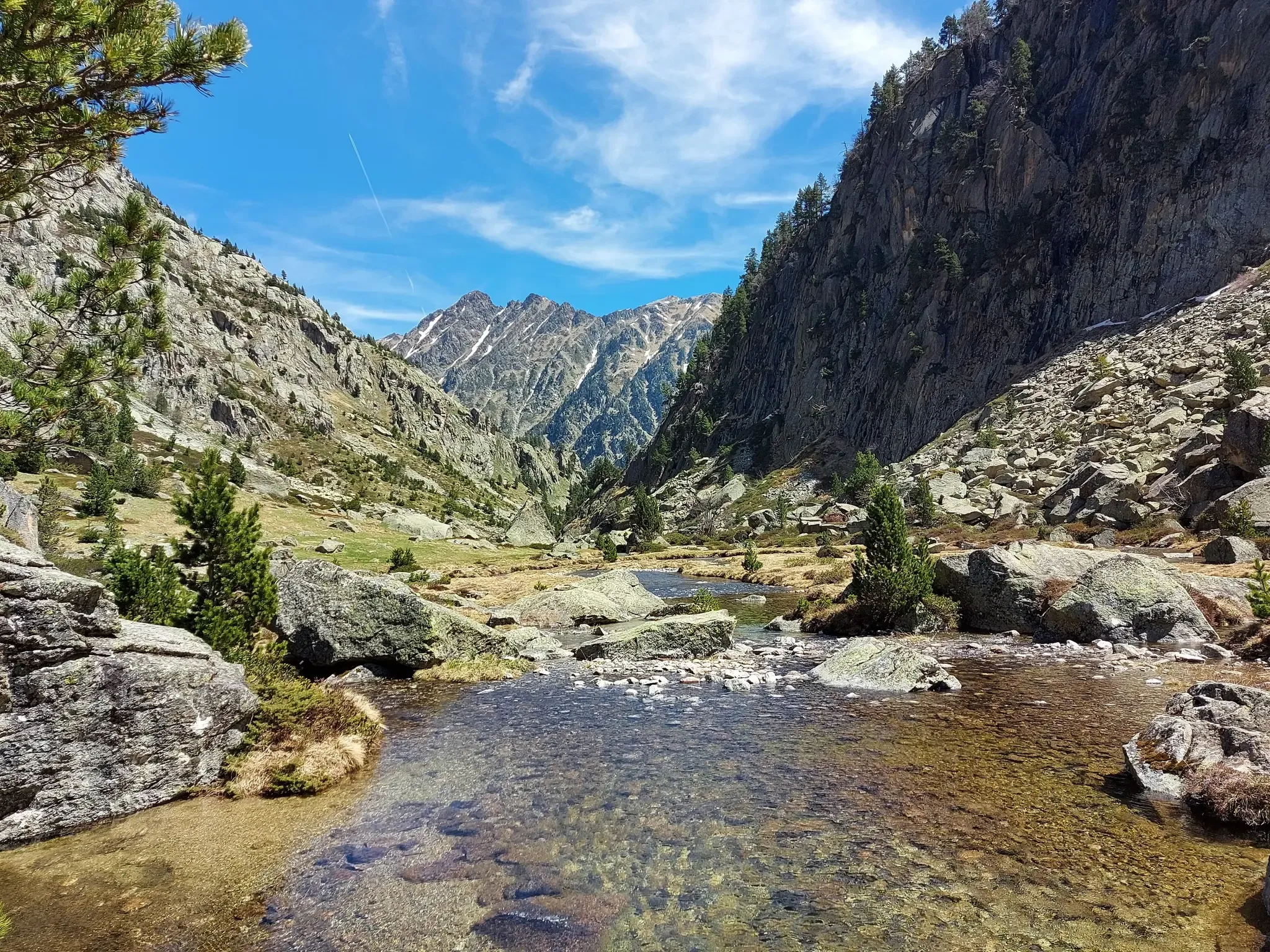
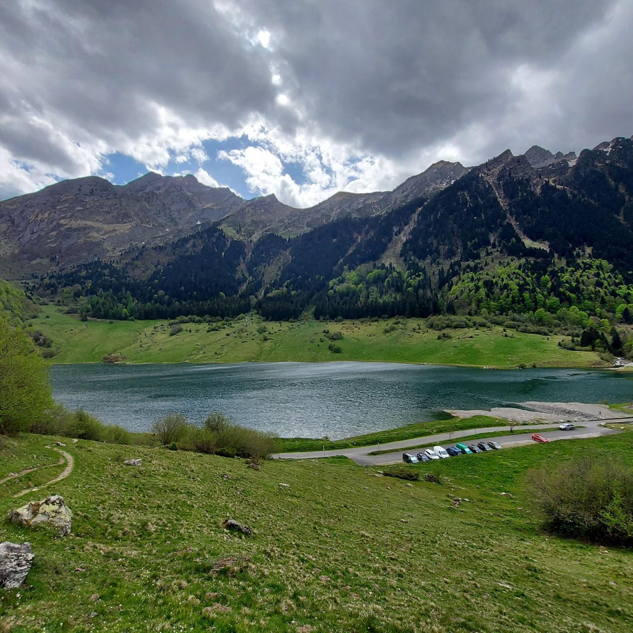
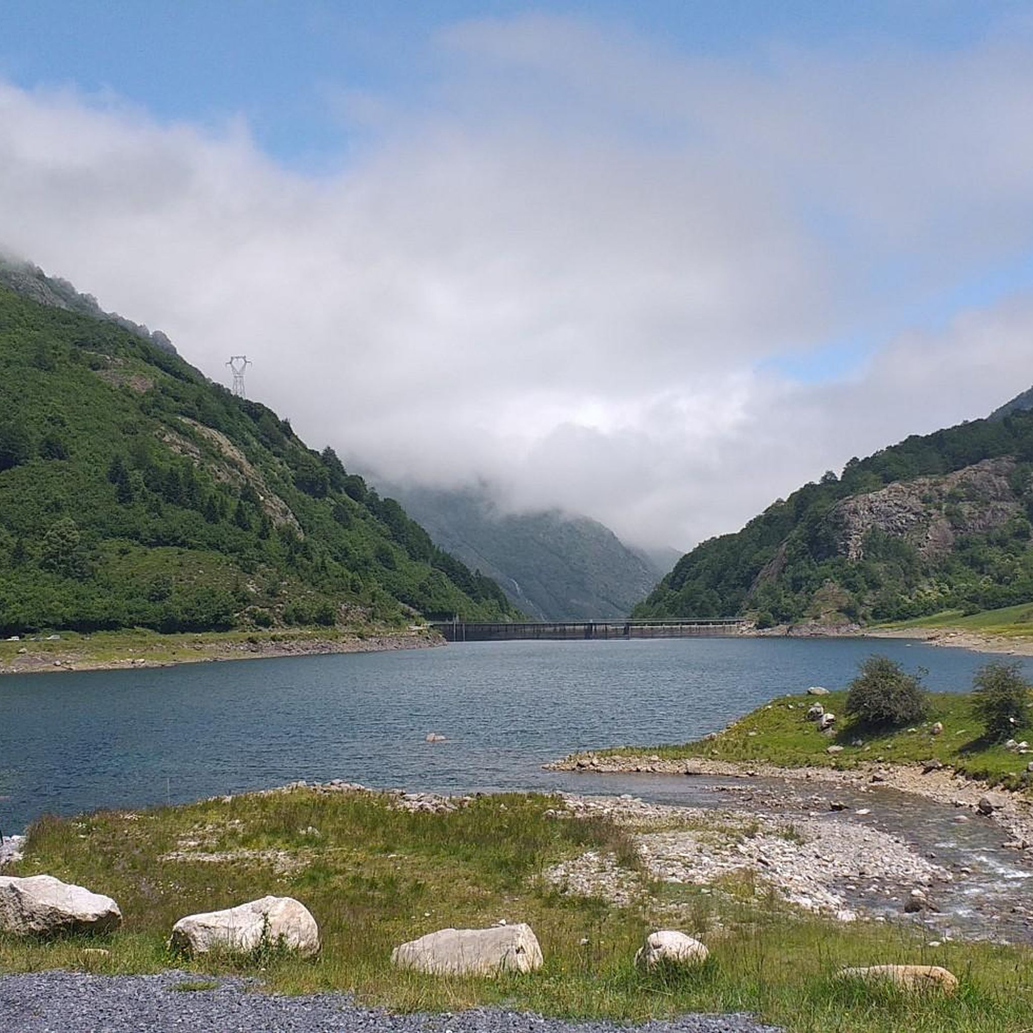
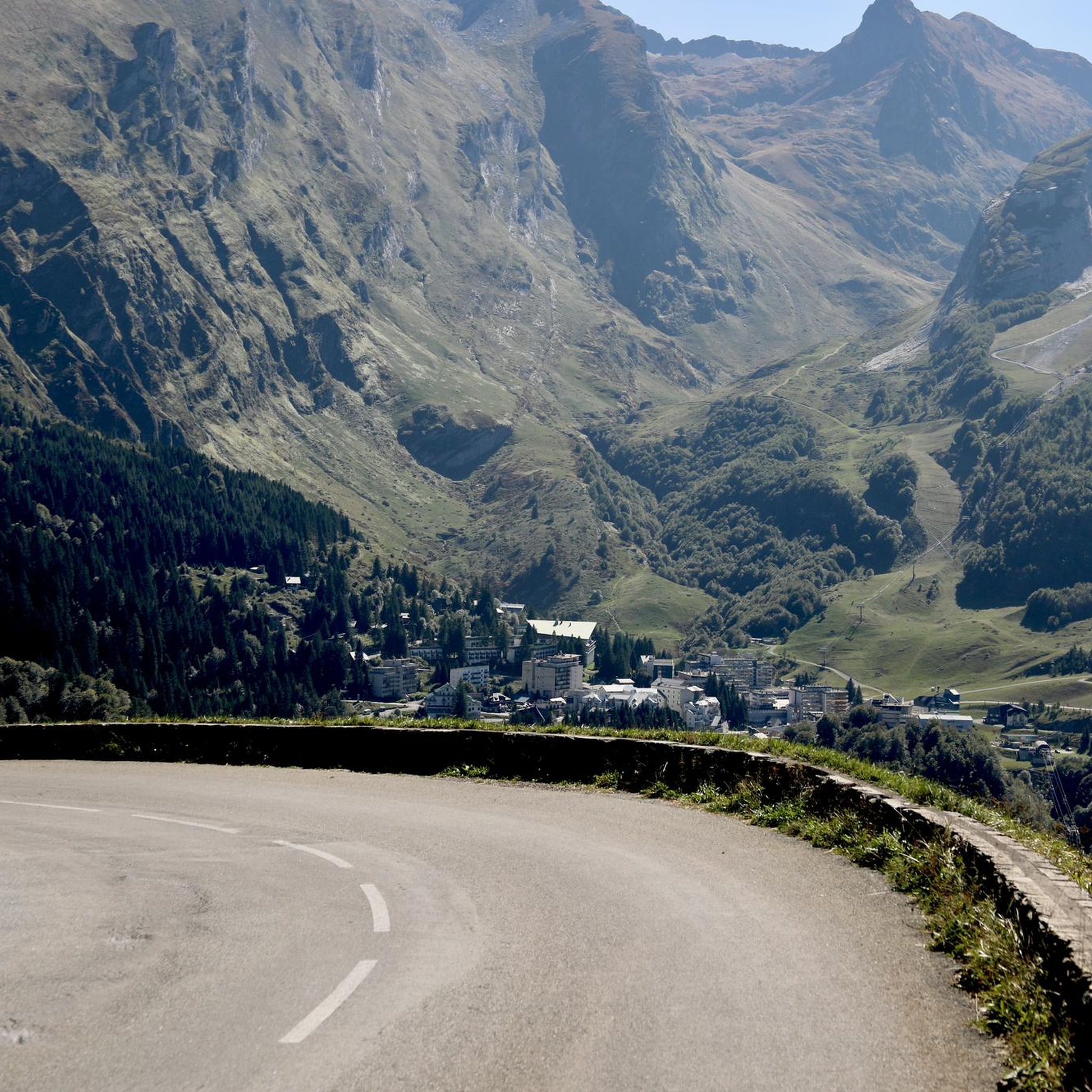
Other adventures around Lac de Migouélou

Tips from the Community

Continue to the Liantran Ruins if you are feeling good. It is worth it.
0
0
For those who don't like hiking, a good overview not far from the car. Quietude guaranteed around the lake
0
0


Very good, very warm welcome and splendid view!
0
0

Perfect place for a bivouac right on the lake.
0
0

small lake that can be reached via good slopes.
2
0

Ibones with water of a special color. Now, it is a little difficult to go down to them since they are a few dozen meters below the road.
0
0
Border in the mountains between Spain and France. The views of the Ibon de Campoplano and the French valley are spectacular
0
0
Frequently Asked Questions
What level of experience is recommended for mountaineering around Lac de Migouélou?
The routes around Lac de Migouélou are primarily designed for experienced mountaineers. The terrain is characterized by high-mountain environments, sustained ascents, and often involves scree and rocks. Good fitness, sure-footedness, sturdy shoes, and alpine experience are essential for most trails.
Are there any circular mountaineering routes in the area?
Yes, several routes offer circular options. For example, you could explore the challenging Lac de Suyen – Larribet Trail loop from Lac de Suyen, which covers about 12.9 km. Another popular choice is the Lac de Lassiédouat – Refuge de Migouélou loop from Lac de Suyen, a 10.6 km trail through rugged alpine landscapes.
What are the most prominent natural features or landmarks to look out for?
The central feature is the stunning deep blue Lac de Migouélou itself, set at 2,278 meters. You'll also encounter breathtaking panoramic views of Pyrenean peaks like Pic Cadier and Pic Batboucou. The Refuge de Migouélou, situated right on the lake's banks, is another significant landmark and a common base for routes.
Is there accommodation available directly on the routes?
Yes, the Refuge de Migouélou is located at 2,287 meters on the banks of the lake. It serves as a prominent landmark and offers accommodation, typically guarded from June to September, making it an ideal base for multi-day itineraries.
What is the best time of year for mountaineering in Lac de Migouélou?
The high-mountain environment means that the best time for mountaineering is generally during the summer months, from June to September, when the Refuge de Migouélou is guarded and trails are more accessible. Outside of this period, conditions can be significantly more challenging due to snow and ice, requiring specialized winter mountaineering skills.
Are there any moderate difficulty routes for those looking for a less extreme challenge?
While most routes are difficult, there are a couple of moderate options. The Lake d'Estaing – Plaa de Prat lake loop from Lac d'Estaing is a moderate 12.7 km route that still offers a rewarding high-mountain experience without the most extreme ascents.
What do other mountaineers say about the routes around Lac de Migouélou?
The area is highly rated by the komoot community, with an average score of 4.9 stars from over 10 reviews. Mountaineers often praise the dramatic Pyrenean peaks, the stunning deep blue lake, and the wild, mineral scenery that provides an authentic high-mountain experience.
Can I bring my dog on the mountaineering trails?
Lac de Migouélou is located within the Pyrenees National Park. While specific regulations for dogs vary, national parks often have restrictions, especially in core zones, to protect wildlife. It's advisable to check the current regulations of the Pyrenees National Park regarding dogs before planning your trip.
Are there opportunities for multi-day mountaineering trips?
Yes, the Refuge de Migouélou acts as a stage for longer itineraries, such as tours of Balaïtous or the Vallée d'Ossau. This allows for extended mountaineering or trekking expeditions, making the area suitable for multi-day adventures.
What kind of terrain can I expect on the mountaineering routes?
You can expect a mineral and wild landscape, characterized by scree and rocks. The routes involve sustained ascents and descents, navigating high-mountain environments. Sure-footedness is crucial due to the rugged and often exposed terrain.
How many mountaineering routes are available in the Lac de Migouélou area?
There are several mountaineering routes documented for the Lac de Migouélou area, with a total of 8 tours currently listed. These range from moderate to difficult, catering to experienced high-mountain enthusiasts.
What is the elevation of Lac de Migouélou itself?
Lac de Migouélou is situated at a high elevation of 2,278 meters (approximately 7,474 feet) above sea level, contributing to its dramatic high-mountain atmosphere.
Is there a route that offers particularly expansive views of the Pyrenean peaks?
For expansive views, consider the challenging Remoulis Lakes – Port de la Peyre Saint-Martin loop from Lac de Suyen. This 18.3 km route features significant ascents and rewards mountaineers with broad vistas of the surrounding Pyrenean peaks.
Most popular routes around Lac de Migouélou

Get inspired with the komoot mobile app


Explore more
Browse the best Mountain Hikes & Routes in other regions.
