The best mountain hikes around Le Lieu
21
hikers
2
hikes
Mountaineering around Le Lieu features routes through the Jura-Nord vaudois region, characterized by its limestone mountains, forested slopes, and scenic cols. The area offers varied terrain, including ascents to prominent summits and paths around lakes. Mountaineering routes often traverse a mix of open alpine pastures and dense woodland.
Best mountaineering routes around Le Lieu
- The most popular mountaineering route is Mont Tendre Summit – Mont Tendre Trailhead loop from Montricher, a difficult 8.8 miles (14.2 km) trail that takes…
Last updated: October 7, 2026
9
hikers
14.1km
05:13
920m
920m
Hard mountaineering route. Very good fitness required. Easily-accessible paths. Suitable for all skill levels.
5
hikers
9.01km
02:59
440m
440m
Moderate mountaineering route. Good fitness required. Mostly accessible paths. Sure-footedness required.

5
hikers
9.54km
03:16
470m
470m
Moderate mountaineering route. Good fitness required. Mostly accessible paths. Sure-footedness required.
2
hikers
Moderate mountaineering route. Good fitness required. Easily-accessible paths. Suitable for all skill levels.
Our route recommendations are based on thousands of hikes, rides, and runs completed by other people on komoot.
Start today with a free account
Your next adventure awaits.
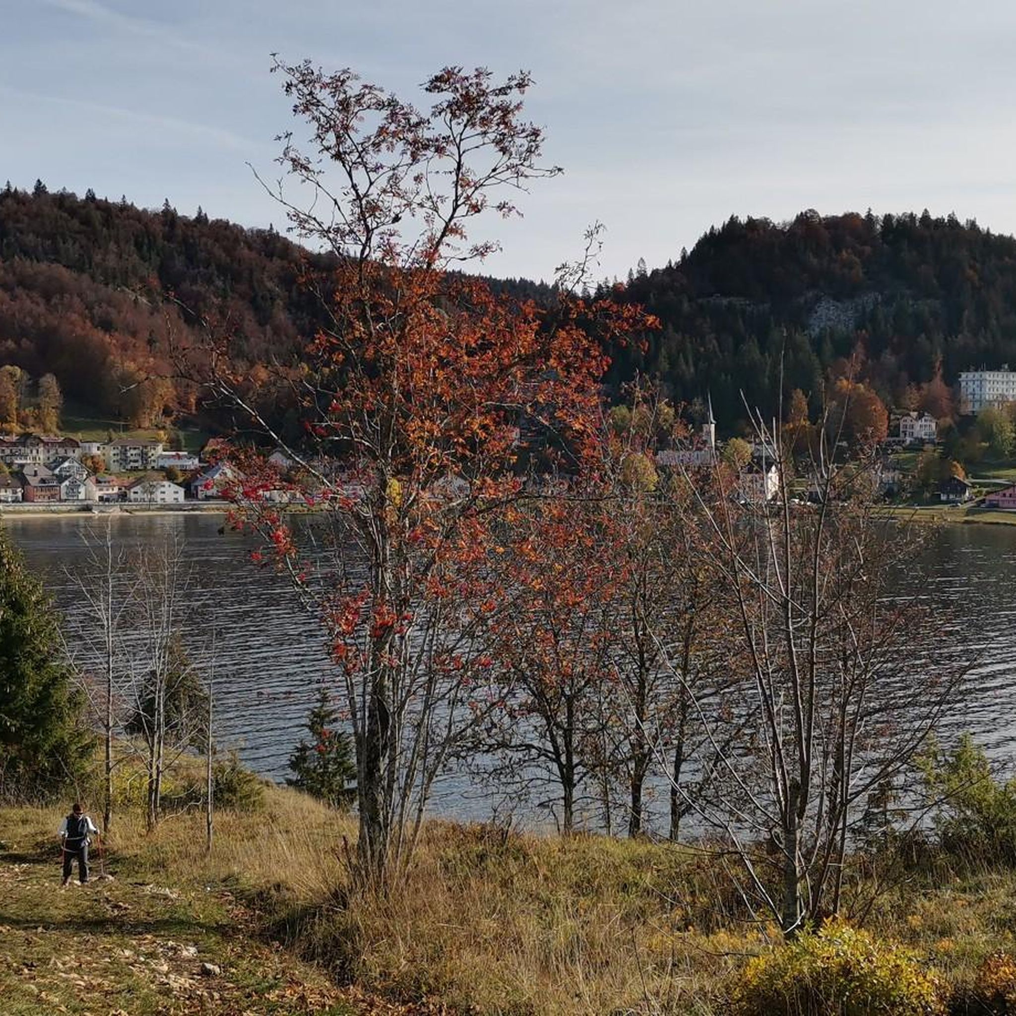
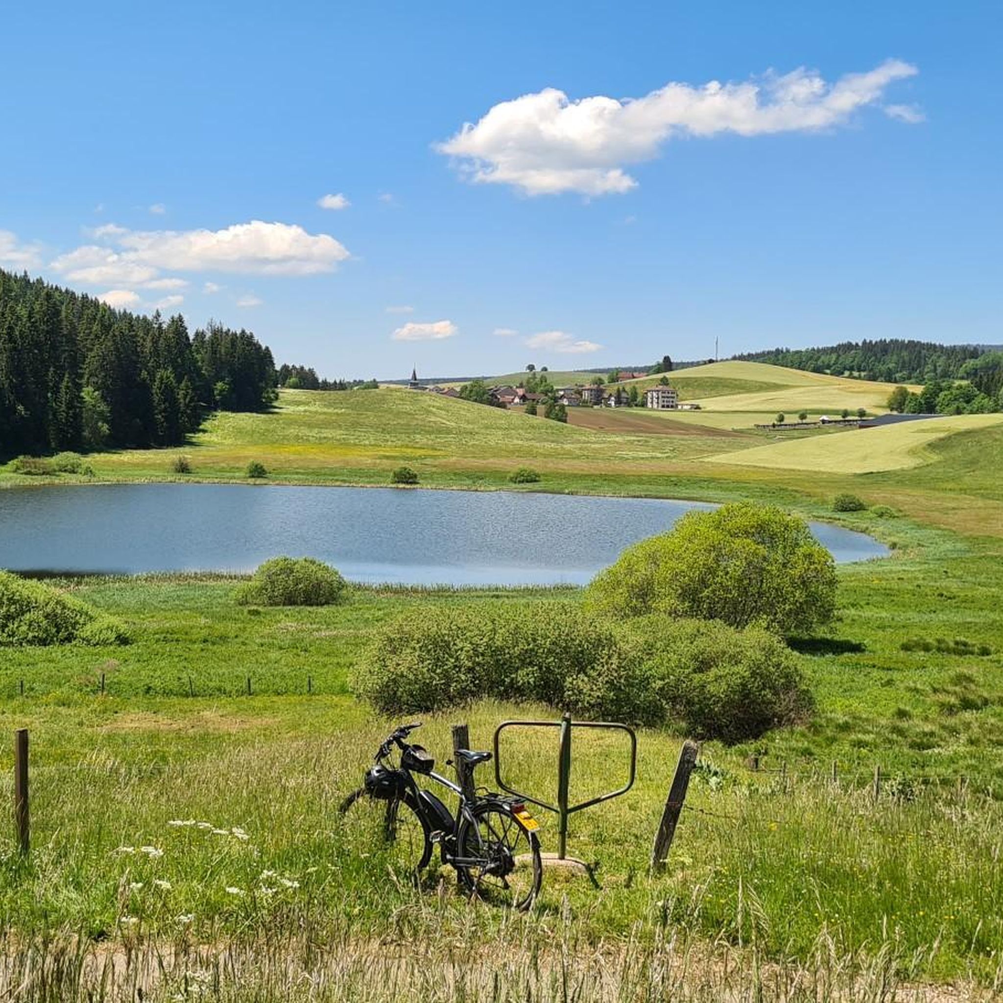
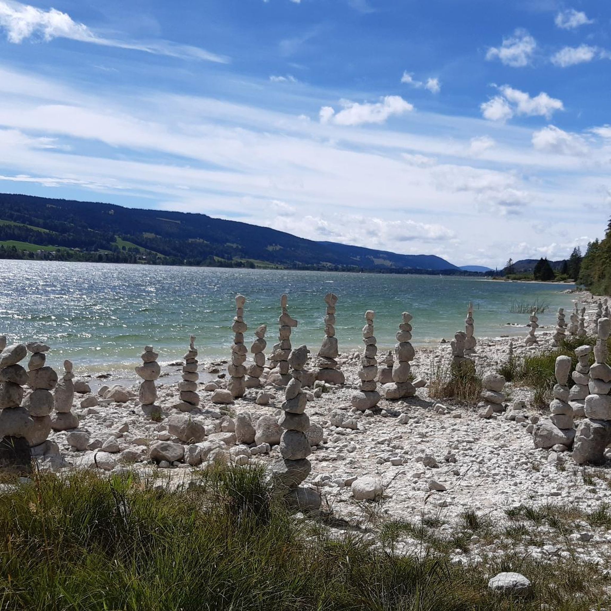
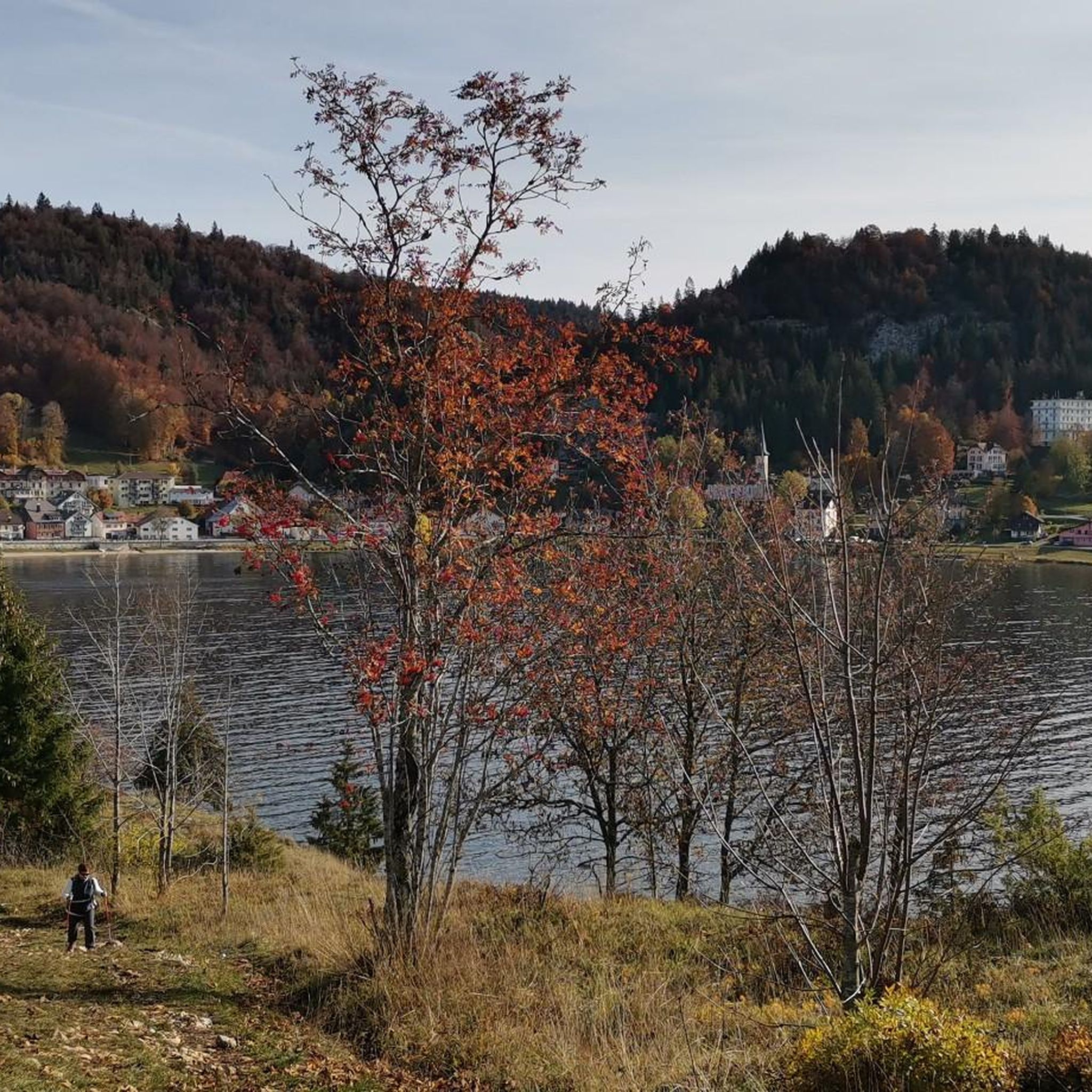

Tips from the Community


Wonderful small summit with the best view of Lake Geneva and the Alps
0
0
The view is breathtaking all around
2
1

The route up from Biere on the Swiss side is a solid steady climb with a few 12% and 13% sections. Traffic is quite light and the road is excellent. The trees give some nice protection from the sun and wind. Crossing the col northwards takes you down to the Vallé de Joux on a pretty steep decent with great corners and some short straights. My brakes made sounds I have never heard before! I did this and Col de Mollendrux together for a great 80k / 1,500 m ride. Recommended.
2
0


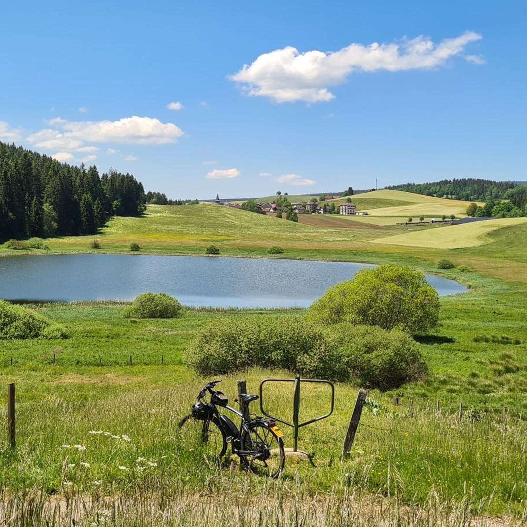
Wonder Lake to cycle around plenty of cafe and different routes you can take.
1
0

Wonderful view of the lake
1
0
Frequently Asked Questions
How many mountaineering routes can I find around Le Lieu?
There are several mountaineering routes around Le Lieu, with this guide highlighting five distinct trails. These routes offer a variety of experiences through the Jura-Nord vaudois region.
Are there any beginner-friendly mountaineering routes in Le Lieu?
While mountaineering routes in Le Lieu generally range from moderate to difficult, some moderate options are suitable for those with some experience. For example, the Le Morond – Le Morond loop from Métabief is a moderate 5.5-mile (8.9 km) path offering a scenic circular journey.
What are some challenging mountaineering routes in the Le Lieu area?
For experienced mountaineers seeking a challenge, the Mont Tendre Summit – Mont Tendre Trailhead loop from Montricher is a difficult 8.8-mile (14.2 km) trail that ascends to the Mont Tendre summit, offering significant elevation gain.
Are there any circular mountaineering trails around Le Lieu?
Yes, several routes are circular. The Dent de Vaulion – Lac de Joux loop from Le Pont is a 5.9-mile (9.5 km) circular trail that takes you through varied terrain, including the Dent de Vaulion summit and views of Lac de Joux. Another option is the Col du Marchairuz (1,449 m) – Crêt de la Neuve Summit loop from Jura Vaudois Nature Park.
What kind of terrain can I expect on mountaineering routes in Le Lieu?
Mountaineering routes in Le Lieu traverse diverse terrain, including limestone mountains, dense forested slopes, and open alpine pastures. You'll encounter ascents to prominent summits and paths around scenic lakes, characteristic of the Jura-Nord vaudois region.
What do other mountaineers enjoy most about the routes in Le Lieu?
The routes in Le Lieu are highly rated by the komoot community, with an average score of 5.0 stars. Mountaineers often praise the varied terrain, the scenic views of lakes like Lac de Joux, and the rewarding ascents to summits such as Mont Tendre and Dent de Vaulion.
Are there any notable natural attractions or landmarks along the mountaineering routes?
Yes, the region offers several natural attractions. While on routes, you might encounter views of Lac de Joux. Nearby, you can also explore the Vallorbe Caves or the Gorges du Nozon.
Are there opportunities for wild swimming near the mountaineering trails?
The region around Le Lieu is known for its lakes. Lac de Joux, which is visible from some mountaineering routes, is a popular spot for water activities, including swimming, especially during warmer months.
What is the best time of year for mountaineering in Le Lieu?
The best time for mountaineering in Le Lieu is typically from late spring to early autumn (May to October) when the weather is generally more stable, and trails are clear of snow. Always check local weather conditions before heading out.
Are there any cafes or places to eat near the mountaineering routes?
The village of Le Pont, located near Lac de Joux and a starting point for some routes, offers amenities including cafes and restaurants where you can refuel after your hike.
What should I consider regarding parking and trailheads for mountaineering in Le Lieu?
Many routes, such as those starting from Montricher or Métabief, have designated parking areas near the trailheads. It's advisable to check specific route details on komoot for precise parking information and accessibility before your trip.
Most popular routes around Le Lieu
Most popular attractions around Le Lieu

Get inspired with the komoot mobile app


Explore more
Browse the best Mountain Hikes & Routes in other regions.
