The best mountain hikes around Genolier
5.0
(1)
56
hikers
7
hikes
Mountaineering routes around Genolier traverse the western foothills of the Jura Mountains, offering varied terrain for climbers. The region is characterized by forested slopes, open alpine pastures, and rocky outcrops, with prominent peaks like La Dôle providing significant elevation. These routes often feature panoramic views of Lake Geneva and the distant Alps, with trails winding through natural landscapes.
Best mountaineering routes around Genolier
- The most popular mountaineering route is La Dôle loop from Les Pralies, a 9.3 miles (15.0…
Last updated: October 7, 2026
10
hikers
15.3km
05:07
670m
670m
Hard mountaineering route. Very good fitness required. Mostly accessible paths. Sure-footedness required.
5.0
(1)
10
hikers
9.69km
03:15
450m
450m
Moderate mountaineering route. Good fitness required. Mostly accessible paths. Sure-footedness required.

12
hikers
13.3km
04:42
660m
660m
Moderate mountaineering route. Good fitness required. Mostly accessible paths. Sure-footedness required.
3
hikers
6.18km
02:17
350m
350m
Moderate mountaineering route. Good fitness required. Mostly accessible paths. Sure-footedness required.
5
hikers
19.4km
06:15
710m
710m
Hard mountaineering route. Very good fitness required. Sure-footedness, sturdy shoes and alpine experience required.
Get access to more routes and recommendations from other explorers.
Already have an account?
Our route recommendations are based on thousands of hikes, rides, and runs completed by other people on komoot.
Start today with a free account
Your next adventure awaits.
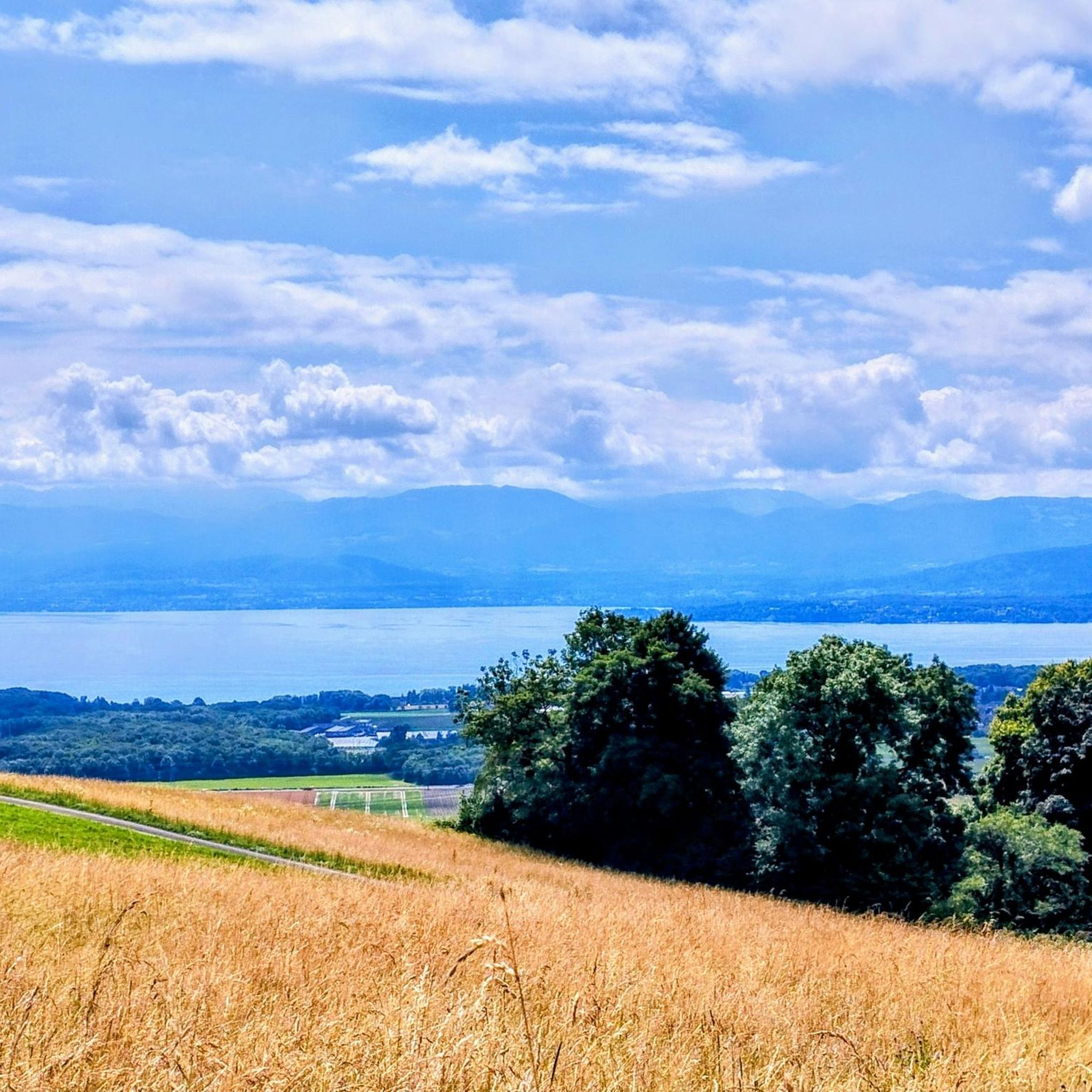
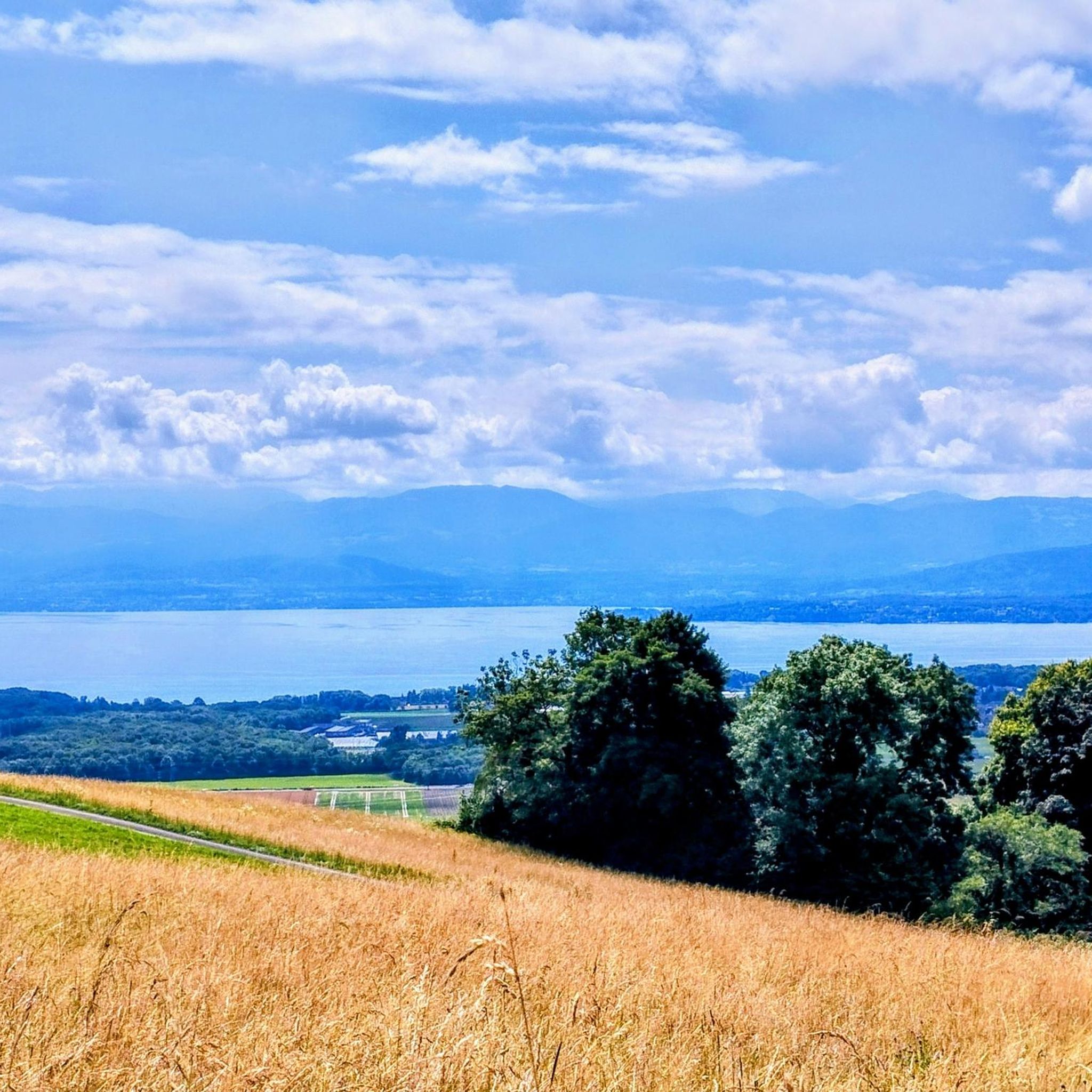
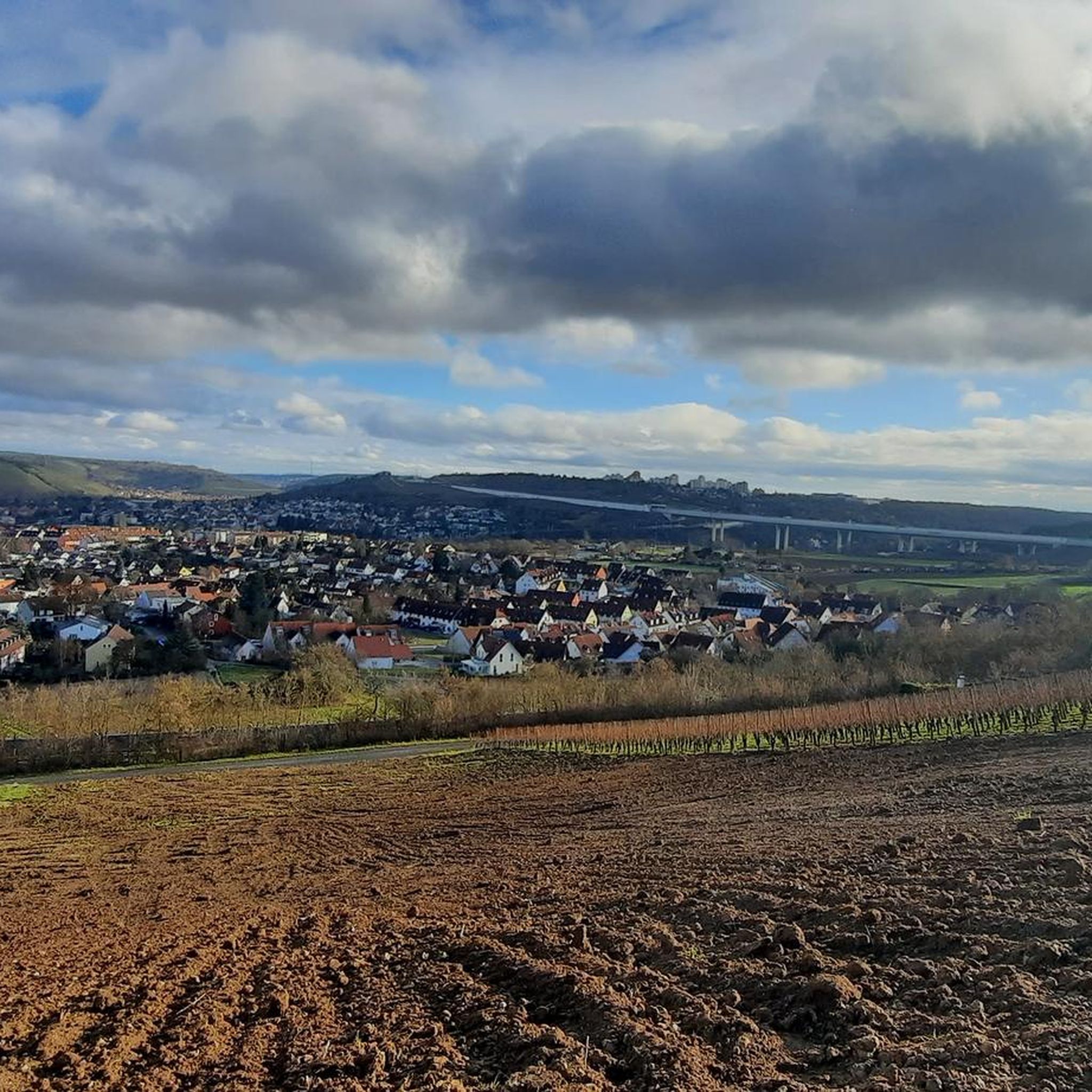
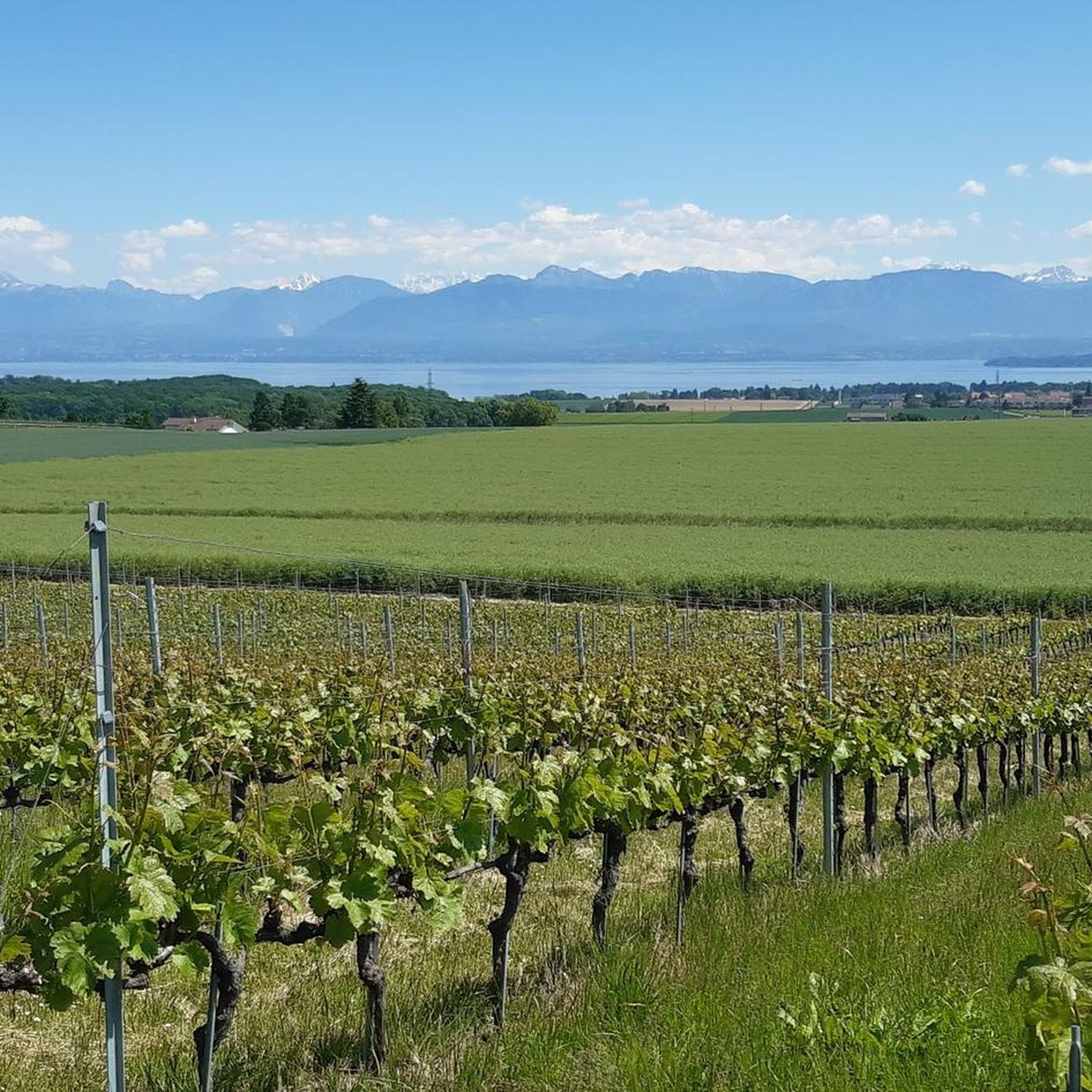
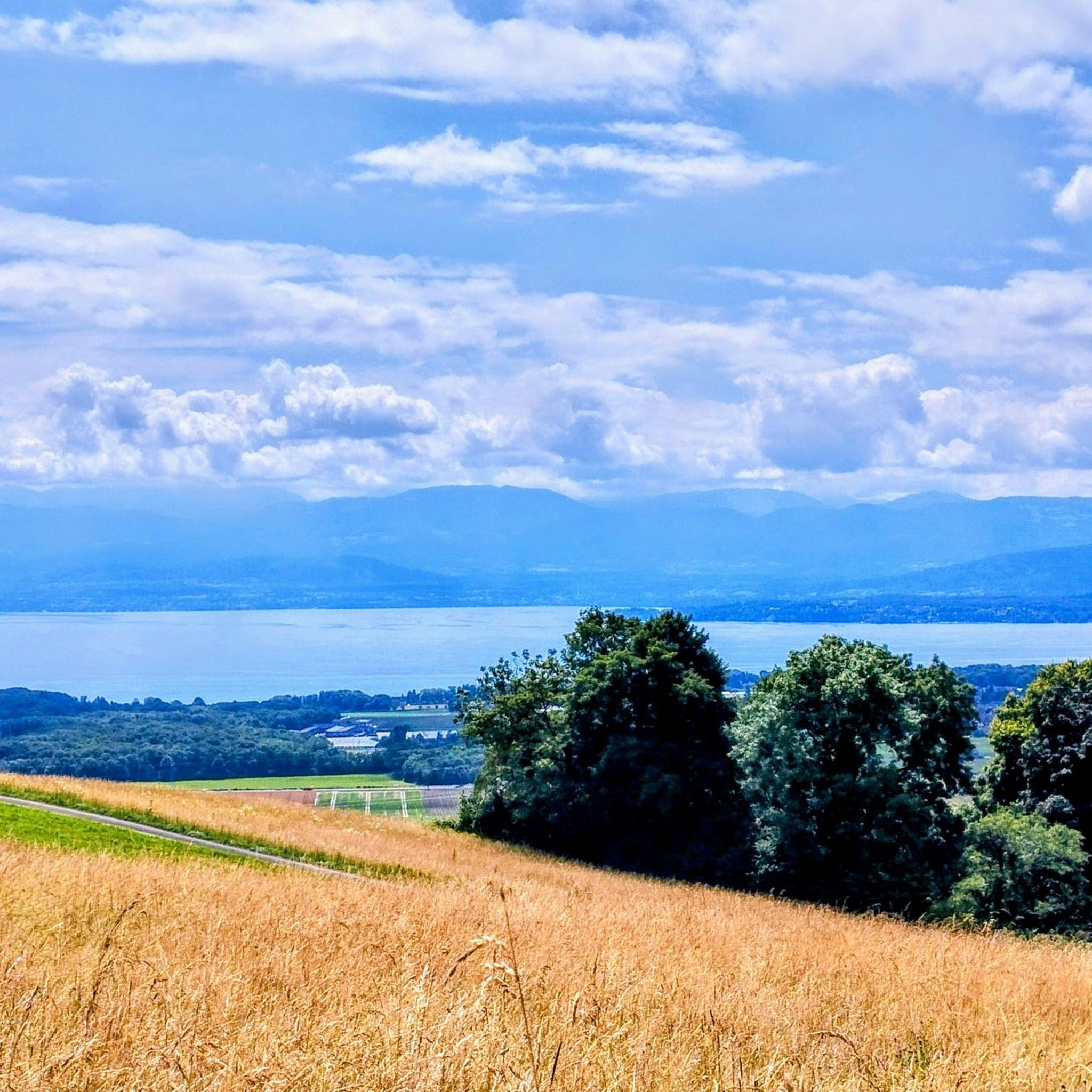
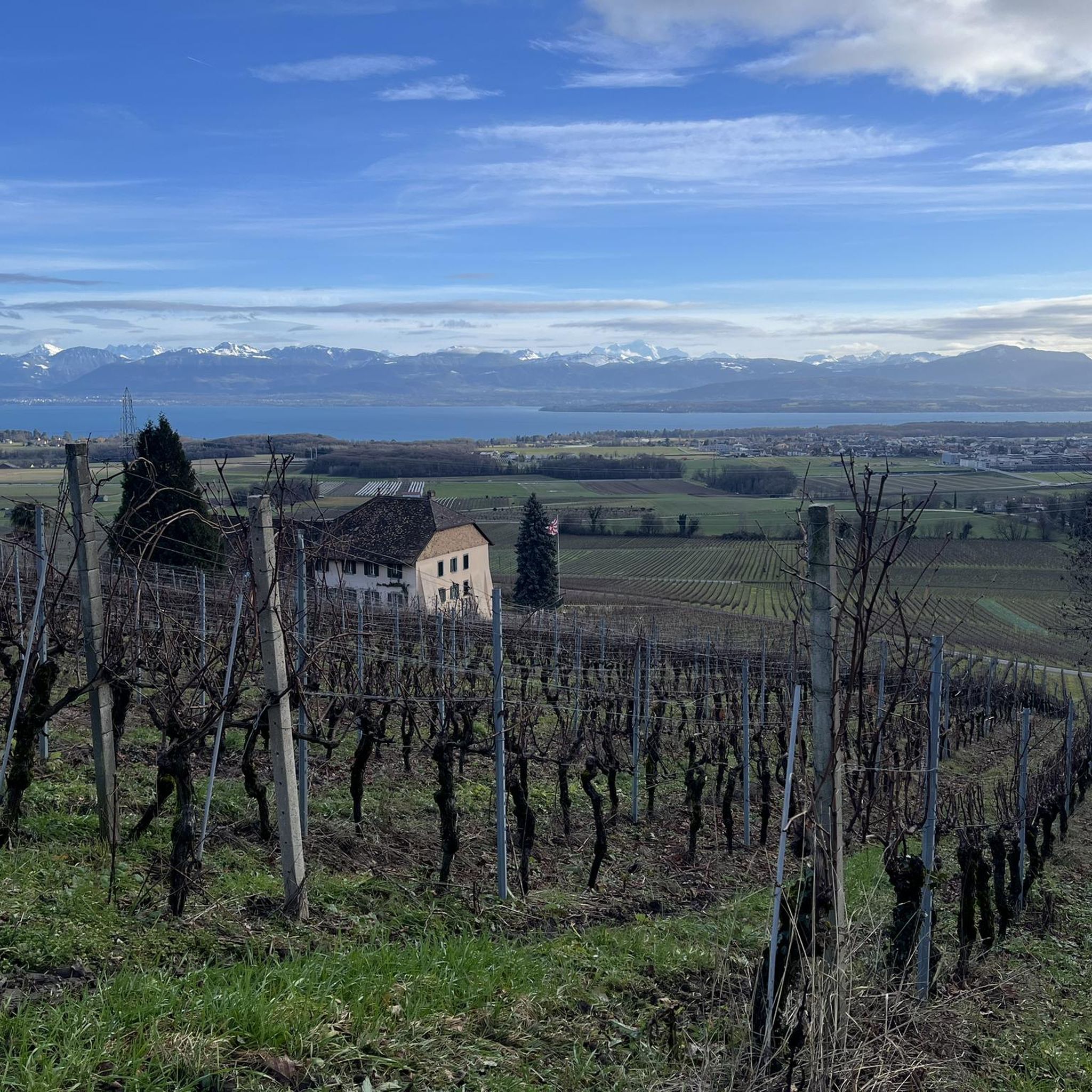
Tips from the Community

View of Mt. Blanc between the trees
0
0

Greenery, small trail path, wild nature, everything is there to enjoy a breath of fresh air
1
0

Magnificent view of the summit. Early in the morning, the material gondola is in operation
0
0

Beautiful section of the Jura Ridge Trail
5
1
Beautiful mountain range with a wonderful panorama
5
1

Wonderful place! Great view! The climb is tough and depending on the route you have to push your bike. I chose the climb via La Barillette and had to walk for about 30-45 minutes. There was also a bit of snow which meant a bit more walking.
1
0

Saint-Cergue is a beautiful, typical commune in the canton of Vaud. At an altitude of 1,041 meters, the panoramas of Lake Geneva and the Alps proliferate.
0
0
Frequently Asked Questions
How many mountaineering routes are available around Genolier?
There are 8 mountaineering routes around Genolier, offering a variety of experiences across the western foothills of the Jura Mountains. These routes range from moderate to difficult in intensity.
What is the general difficulty level of mountaineering routes in Genolier?
The mountaineering routes around Genolier are primarily rated as moderate to difficult. There are 5 moderate routes and 3 difficult routes, providing options for experienced mountaineers and those looking for a challenge.
Are there circular mountaineering routes available in Genolier?
Yes, many of the mountaineering routes around Genolier are circular, allowing you to start and end at the same point. For example, the challenging La Dôle loop from Les Pralies is a popular circular option, as is the moderate Nyon Ski Club Hut – Col de Porte (Jura) loop from Les Cheseaux.
What natural landmarks or viewpoints can I expect to see along the routes?
Mountaineering routes around Genolier offer stunning views of Lake Geneva and the distant Alps. You'll encounter prominent peaks like La Dôle Summit and mountain passes such as Col de Porte (Jura). The region also features natural monuments like the Bois de Chênes Nature Reserve.
Are there any shorter mountaineering routes for a quicker outing?
If you're looking for a shorter mountaineering experience, consider the moderate Chalet de la Combe Gelée loop from Saint-Cergue. This route covers approximately 6.2 miles (6.2 km) and typically takes around 2 hours 17 minutes to complete.
What do other mountaineers say about the routes in Genolier?
The mountaineering routes in Genolier are highly regarded by the komoot community, holding an average rating of 5.0 stars. Users often praise the varied terrain, from forested slopes to open alpine pastures, and the rewarding panoramic views from the summits.
Can I bring my dog on mountaineering routes near Genolier?
Generally, dogs are welcome on most mountaineering trails in the Jura region, including those around Genolier. However, it's always recommended to keep your dog on a leash, especially in nature reserves, near livestock, or in areas with wildlife, to ensure their safety and respect for the environment.
What is the best time of year for mountaineering in Genolier?
The best time for mountaineering in Genolier is typically from late spring to early autumn (May to October). During these months, the weather is generally more stable, and trails are clear of snow, offering optimal conditions for ascents and enjoying the views. Always check local weather forecasts before heading out.
Is winter mountaineering possible in the Genolier area?
Winter mountaineering in the Genolier area is possible but requires appropriate gear and experience due to snow and ice conditions, especially at higher elevations like La Dôle. Trails may be covered, and avalanche risks can be present. It's crucial to consult local conditions and weather reports before attempting winter ascents.
Do I need a permit for mountaineering in the Genolier area?
For general mountaineering on established trails around Genolier, a specific permit is typically not required. However, always be mindful of any local regulations, especially if you plan to venture into protected areas or nature reserves, where certain restrictions might apply.
Are there any longer, more challenging mountaineering routes?
For those seeking a longer and more challenging experience, the difficult Col de Porte (Jura) – La Dôle Summit loop from Les Cheseaux is an excellent option. This route spans approximately 7.2 miles (11.6 km) with significant elevation gain, offering a demanding yet rewarding ascent.
Where can I find parking for mountaineering trails in Genolier?
Parking is often available at the starting points of many routes, particularly near villages like Les Pralies or Les Cheseaux, which serve as common access points for trails leading into the Jura Mountains. Look for designated parking areas or small car parks at trailheads.
How can I reach mountaineering routes near Genolier by public transport?
Genolier is served by public transport, and some trailheads are accessible via local bus services or the Nyon–Saint-Cergue–Morez railway line. Planning your journey in advance using local transport schedules will help you reach the starting points of various mountaineering routes without a car.
Most popular routes around Genolier
Most popular attractions around Genolier

Get inspired with the komoot mobile app


Explore more
Browse the best Mountain Hikes & Routes in other regions.
