The best mountain hikes around Duillier
5.0
(1)
49
hikers
6
hikes
Mountaineering routes around Duillier are situated in the foothills of the Jura mountains, offering varied terrain for exploration. The region is characterized by its proximity to prominent peaks like La Dôle, providing opportunities for significant elevation gain. Dense woodlands and open mountain pastures define much of the landscape, with trails often leading to scenic viewpoints. The area presents a range of challenges suitable for different skill levels, from moderate ascents to more demanding climbs.
Best mountaineering routes around Duillier
- The…
Last updated: October 7, 2026
10
hikers
15.3km
05:07
670m
670m
Hard mountaineering route. Very good fitness required. Mostly accessible paths. Sure-footedness required.
5.0
(1)
10
hikers
9.69km
03:15
450m
450m
Moderate mountaineering route. Good fitness required. Mostly accessible paths. Sure-footedness required.

12
hikers
13.3km
04:42
660m
660m
Moderate mountaineering route. Good fitness required. Mostly accessible paths. Sure-footedness required.
3
hikers
6.18km
02:17
350m
350m
Moderate mountaineering route. Good fitness required. Mostly accessible paths. Sure-footedness required.
5
hikers
19.4km
06:15
710m
710m
Hard mountaineering route. Very good fitness required. Sure-footedness, sturdy shoes and alpine experience required.
Our route recommendations are based on thousands of hikes, rides, and runs completed by other people on komoot.
Start today with a free account
Your next adventure awaits.
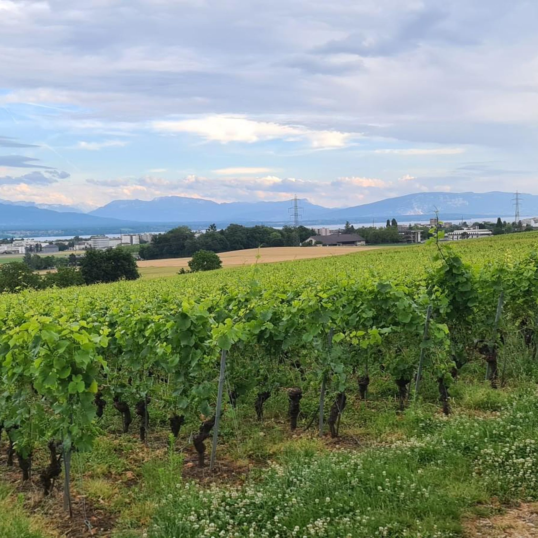
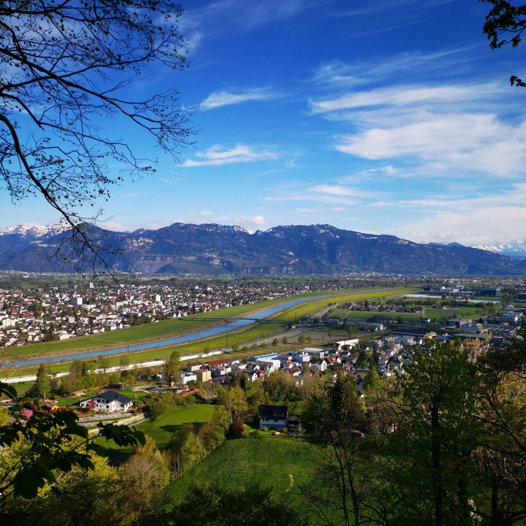
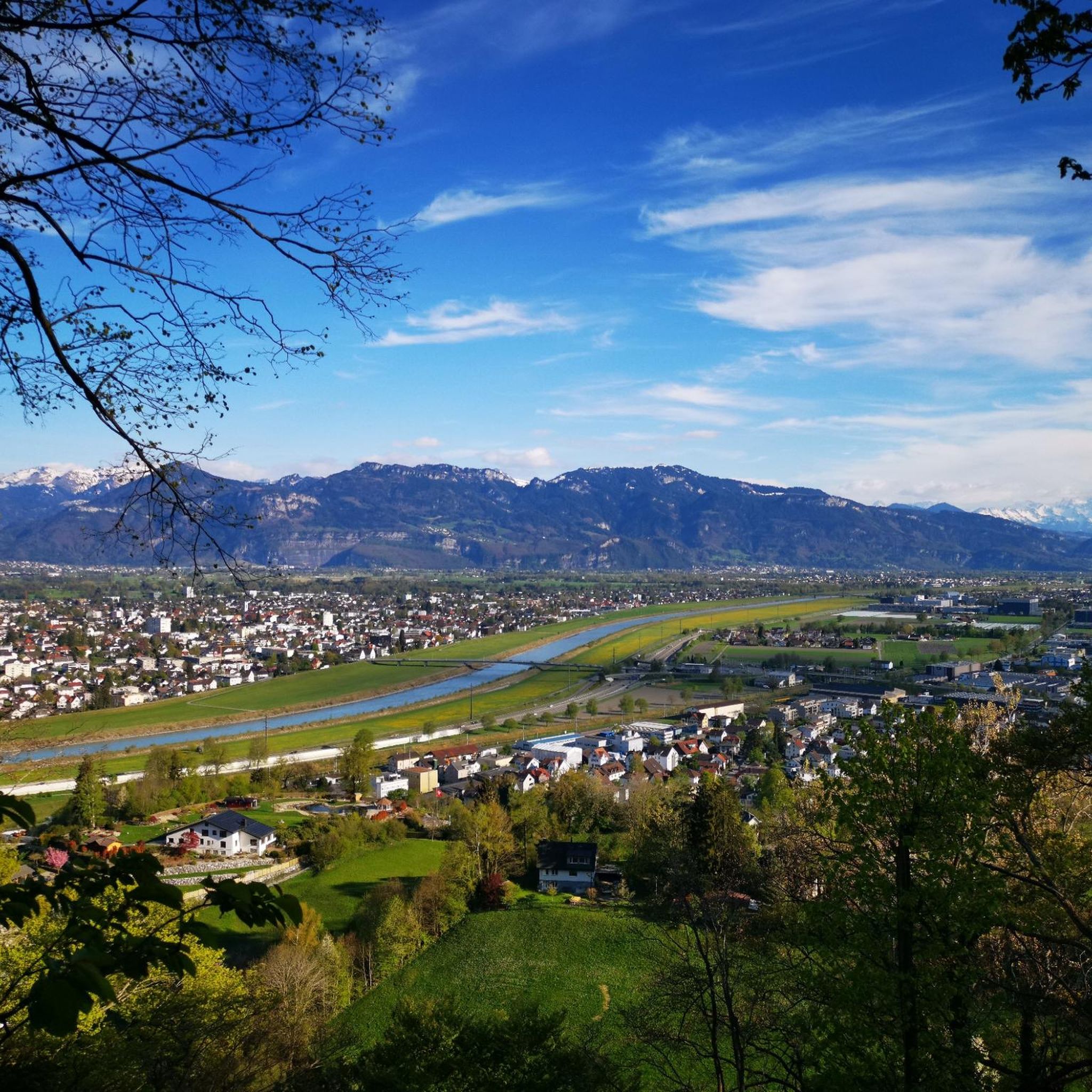
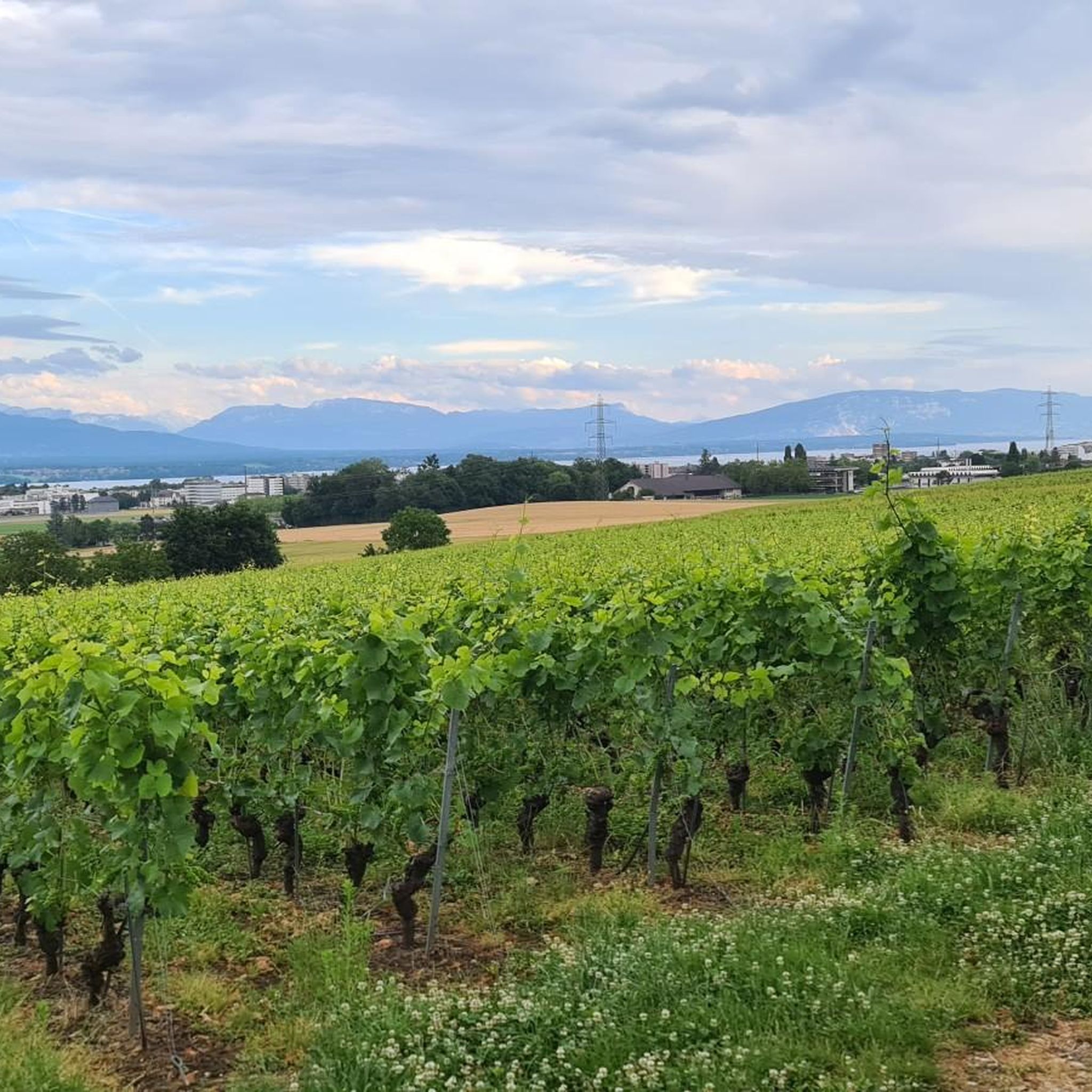
Tips from the Community

View of Mt. Blanc between the trees
0
0

Greenery, small trail path, wild nature, everything is there to enjoy a breath of fresh air
1
0

Magnificent view of the summit. Early in the morning, the material gondola is in operation
0
0

Beautiful section of the Jura Ridge Trail
5
1
Beautiful mountain range with a wonderful panorama
5
1

Wonderful place! Great view! The climb is tough and depending on the route you have to push your bike. I chose the climb via La Barillette and had to walk for about 30-45 minutes. There was also a bit of snow which meant a bit more walking.
1
0

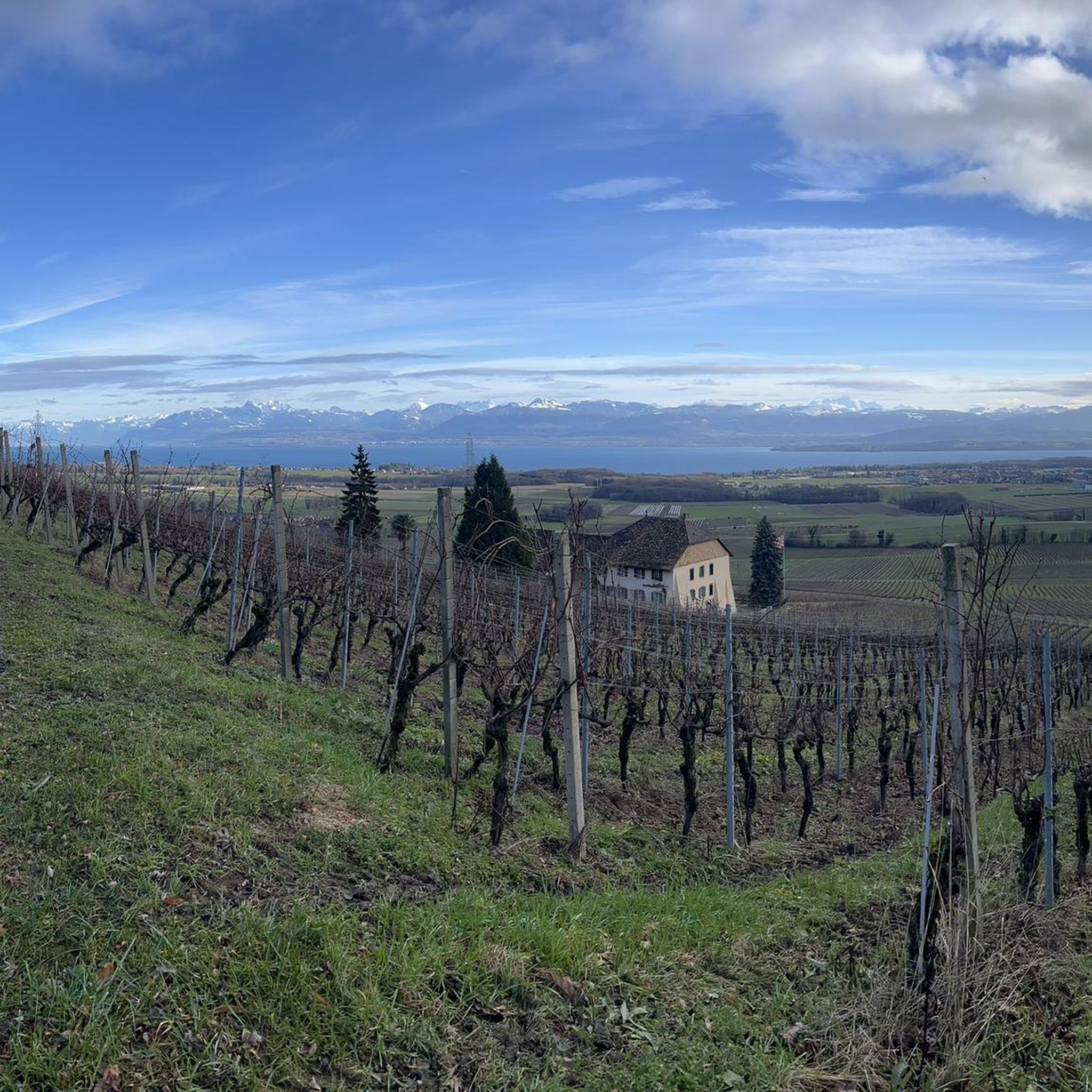
Saint-Cergue is a beautiful, typical commune in the canton of Vaud. At an altitude of 1,041 meters, the panoramas of Lake Geneva and the Alps proliferate.
0
0
Frequently Asked Questions
How many mountaineering routes are available around Duillier?
There are 7 mountaineering routes around Duillier, offering a mix of moderate and difficult challenges. These trails explore the Jura mountains, providing diverse experiences for different skill levels.
What kind of terrain can I expect on mountaineering routes near Duillier?
The terrain around Duillier is characterized by the foothills of the Jura mountains. You'll encounter dense woodlands, open mountain pastures, and trails leading to scenic viewpoints, often with significant elevation gain, especially towards prominent peaks like La Dôle.
Are there mountaineering routes suitable for beginners around Duillier?
While there are no routes specifically classified as 'easy' for mountaineering, several moderate options are available. For a shorter, moderate experience, consider the Chalet de la Combe Gelée loop from Saint-Cergue, which is about 6.2 km long and takes around 2 hours 17 minutes.
What are some challenging mountaineering routes near Duillier?
For a more demanding experience, the La Dôle loop from Les Pralies is a difficult 15 km trail that takes approximately 5 hours to complete, offering substantial elevation gain and panoramic views from the summit area.
What is the typical duration for mountaineering trails around Duillier?
Mountaineering trails around Duillier vary in length and duration. Moderate routes can take anywhere from 2 hours 17 minutes to 4 hours 50 minutes, while more difficult trails typically range from 4 to 5 hours to complete.
Are there any circular mountaineering routes in the Duillier area?
Yes, many of the mountaineering routes around Duillier are circular. For example, the Nyon Ski Club Hut – Col de Porte (Jura) loop from Les Cheseaux is a popular moderate circular path, and the View of La Dôle Summit – La Dôle Summit loop from Les Cheseaux also offers a rewarding circular journey.
What are some scenic viewpoints along the mountaineering routes near Duillier?
The region offers several stunning viewpoints. You can enjoy the View of Lake Geneva from La Dôle, or experience the View from La Barillette. Many trails also lead to the La Dôle Summit itself, providing expansive vistas.
Are there any huts or places to stop for refreshments along the trails?
Yes, there are several huts and establishments in the vicinity. You might come across the Nyon Ski Club Hut, Cabane de Rochefort, or Chalet du Planet. For a restaurant stop, Les Pralets is also an option.
What do other mountaineers enjoy most about the routes around Duillier?
The mountaineering routes around Duillier are highly rated by the komoot community, with an average score of 5.0 stars. Reviewers often praise the varied mountain terrain, the challenging ascents, and the rewarding panoramic views, especially from the La Dôle summit area.
When is the best time of year for mountaineering in Duillier?
The best time for mountaineering in Duillier is typically from late spring to early autumn (May to October) when the weather is generally more stable and trails are clear of snow. However, conditions can vary, so always check local forecasts before heading out.
Is public transport available to reach the trailheads near Duillier?
Public transport options to trailheads can be limited in mountainous regions. It's advisable to research specific bus or train connections to villages like Les Pralies or Les Cheseaux, which serve as starting points for several routes, and plan your journey in advance.
Are there family-friendly mountaineering options around Duillier?
Given that the routes are classified as moderate to difficult, they might be more suitable for families with older children or those accustomed to more strenuous hikes. The shorter moderate routes, like the Chalet de la Combe Gelée loop from Saint-Cergue, could be considered for experienced families.
What should I pack for a mountaineering trip in Duillier?
For mountaineering in the Jura mountains, it's essential to pack appropriate gear. This includes sturdy hiking boots, layers of clothing suitable for changing mountain weather, rain gear, sufficient water and snacks, a map or GPS device, and sun protection. Depending on the season, microspikes or trekking poles might also be beneficial.
Most popular routes around Duillier
Most popular attractions around Duillier

Get inspired with the komoot mobile app


Explore more
Browse the best Mountain Hikes & Routes in other regions.
