The best mountain hikes around Bobenheim am Berg
5.0
(3)
20
hikers
5
hikes
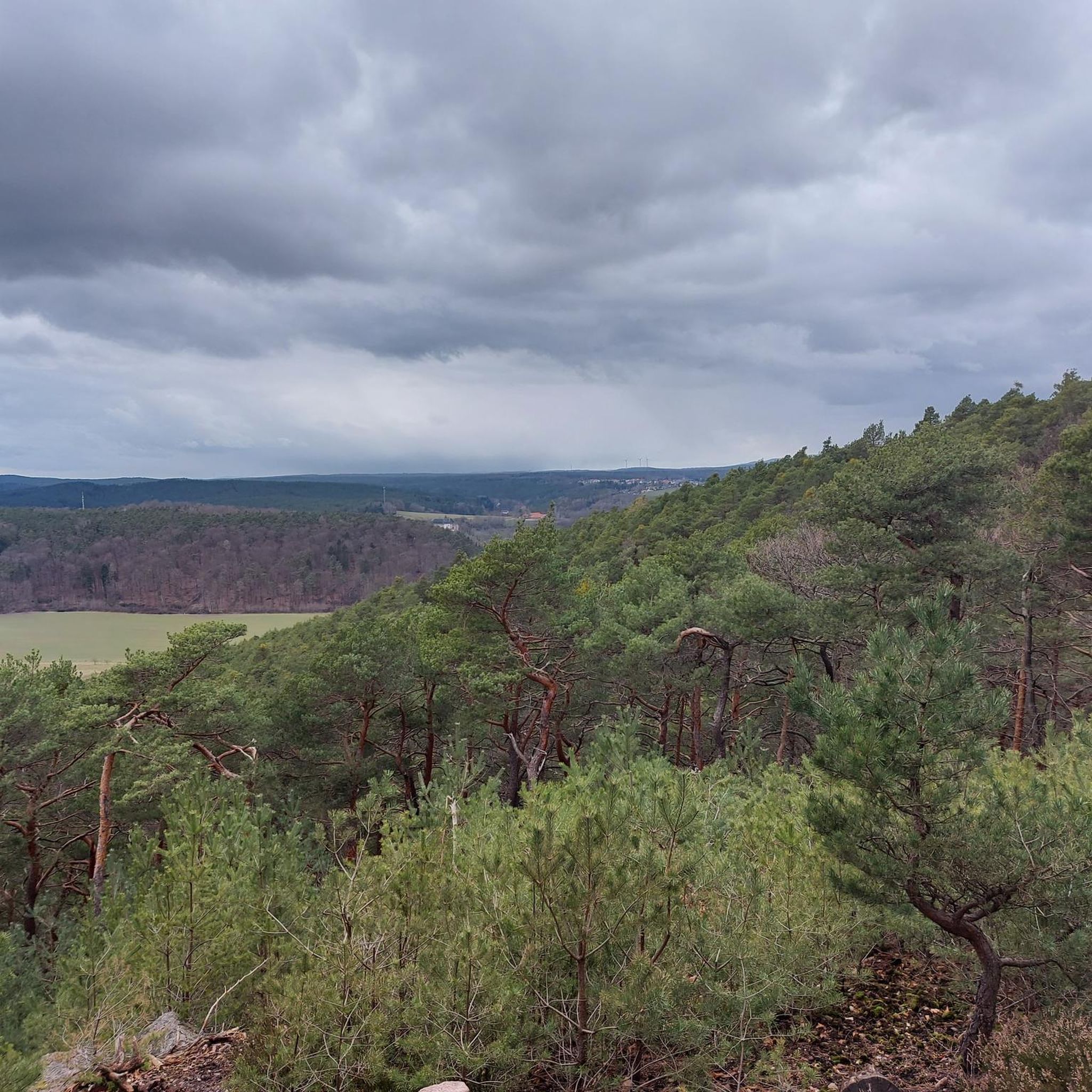
Mountaineering around Bobenheim am Berg offers routes through the varied terrain of the Palatinate Forest. The region features rolling hills, dense woodlands, and historical sites, providing diverse landscapes for exploration. Elevations are generally moderate, making the area accessible for different skill levels.
Best mountaineering routes around Bobenheim am Berg
- The most popular mountaineering route is Drachenfels Nature Reserve – Seven Ways loop from Drachenfels, a 6.3 miles (10.1 km) trail that takes 3 hours 6 minutes to complete. This…
Last updated: July 2, 2026
5
hikers
10.1km
03:07
350m
350m
Moderate mountaineering route. Good fitness required. Easily-accessible paths. Suitable for all skill levels.
5.0
(1)
2
hikers
Moderate mountaineering route. Good fitness required. Easily-accessible paths. Suitable for all skill levels.

Sign up for free
5.0
(1)
4
hikers
11.5km
03:21
290m
290m
Moderate mountaineering route. Good fitness required. Easily-accessible paths. Suitable for all skill levels.
5.0
(1)
3
hikers
Easy mountaineering route. Great for any fitness level. Easily-accessible paths. Suitable for all skill levels.
3
hikers
Moderate mountaineering route. Good fitness required. Easily-accessible paths. Suitable for all skill levels.
Our route recommendations are based on thousands of hikes, rides, and runs completed by other people on komoot.
Start today with a free account
Your next adventure awaits.
Login or Signup
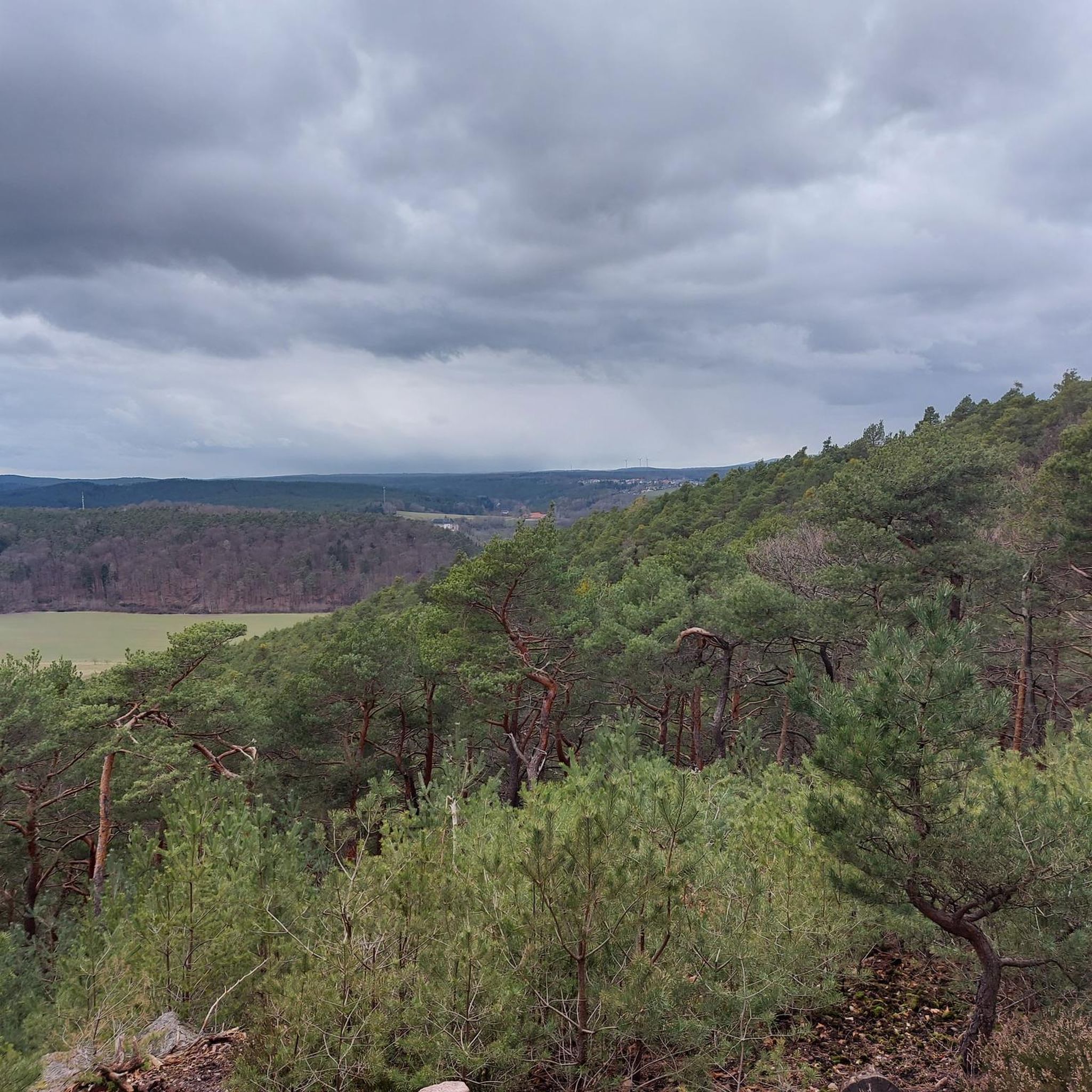
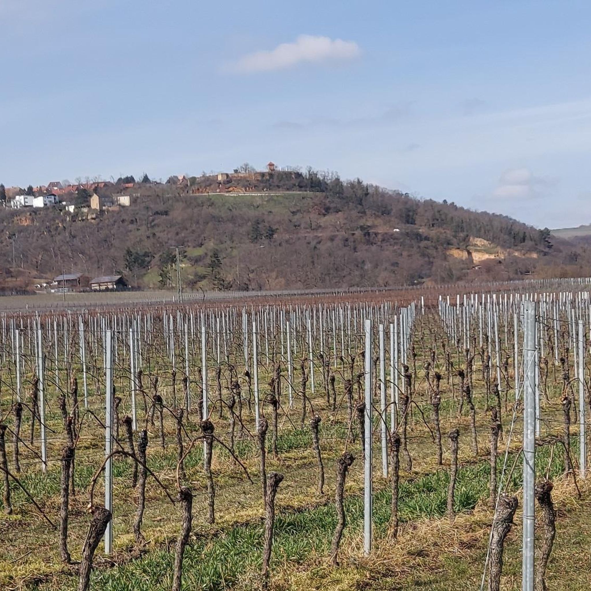
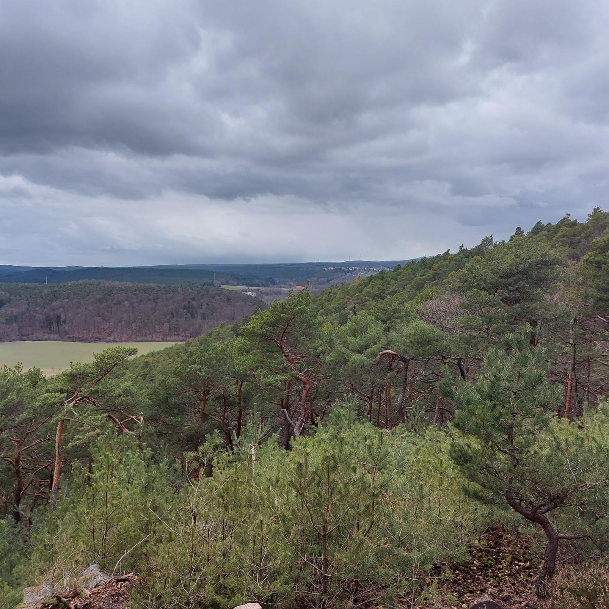
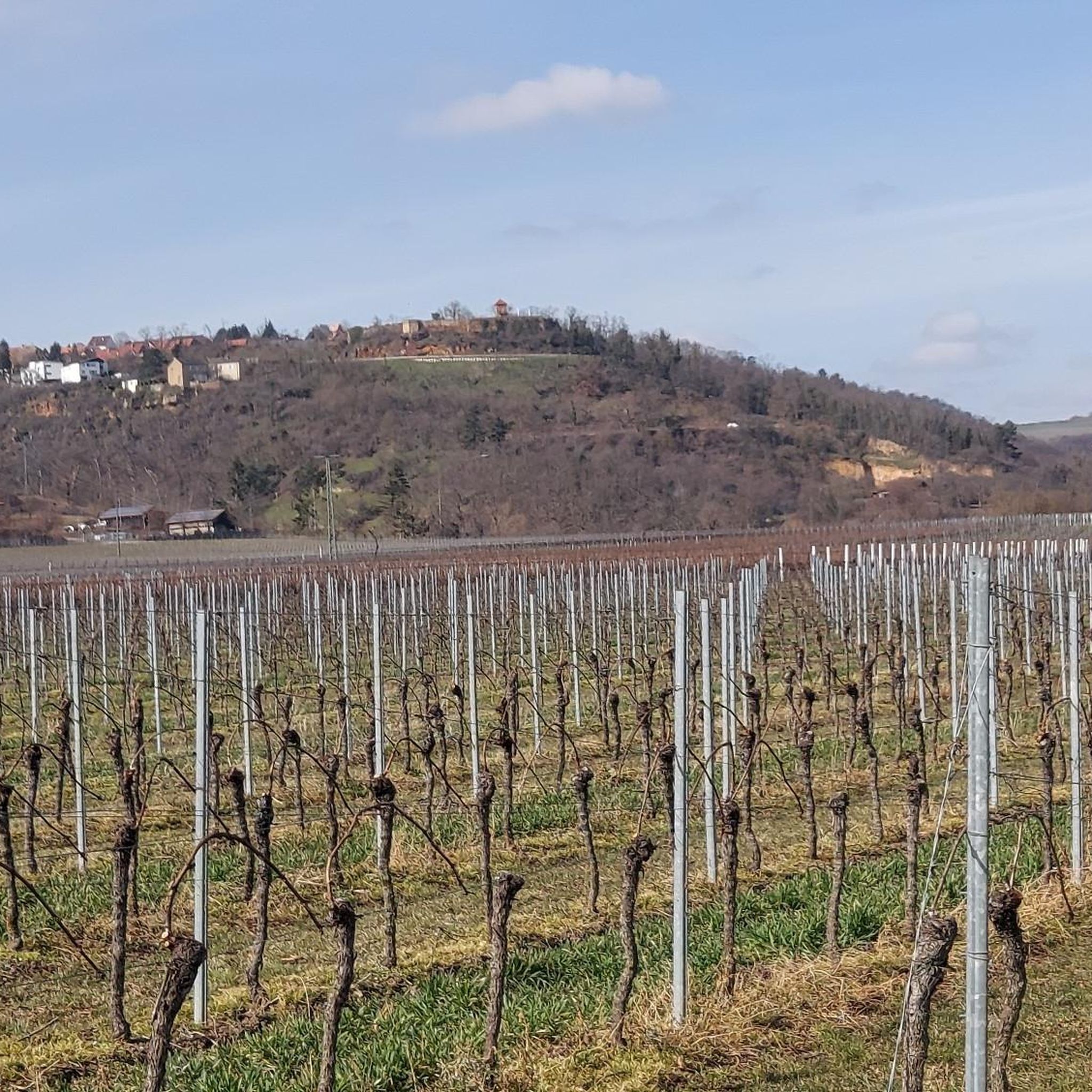
Tips from the Community


Fantastic beautiful and easy trail. Don't miss it.
0
0


A great trail, great for riding. But watch out for hikers.
0
0

Especially interesting if you have read something about it
0
0

From the castle tower, you have a magnificent view in all directions. The climb is definitely worth it. Afterwards, the Palatinate spritzer from the castle tavern tastes even better.
1
0

The plant was built at Burgstrasse 17 and put into operation in 1892. https://www.swwachenheim.de/strom-infos.html
2
0

Founded in 1120 and first mentioned in documents in 1143 Destroyed between 1618 and 1648 in the Thirty Years' War and not rebuilt
1
0
Frequently Asked Questions
How many mountaineering routes are available around Bobenheim am Berg?
There are 5 mountaineering routes documented around Bobenheim am Berg, offering a variety of experiences through the Palatinate Forest.
Are there any easy mountaineering routes suitable for beginners?
Yes, for those seeking an easier experience, consider the Schlagbaum Trail Junction – View of Limburg Abbey loop from Haardtrand - Am Schlammberg. This route is 5.2 km long and takes approximately 1 hour 26 minutes to complete, with an elevation gain of about 88 meters.
What are the typical distances and elevations for mountaineering routes in this area?
The routes around Bobenheim am Berg vary in length and elevation. You'll find paths ranging from 5.2 km to 14.6 km, with elevation gains typically between 88 meters and 353 meters. Most routes are classified as moderate, offering a good balance of challenge and accessibility.
Are there any circular mountaineering routes?
Many of the routes around Bobenheim am Berg are circular, allowing you to start and end at the same point. For example, the Drachenfels Nature Reserve – Seven Ways loop from Drachenfels is a popular circular option, covering 10.1 km.
Can I find routes that include historical landmarks or points of interest?
Absolutely. The region is rich in history. The Wachtenburg Castle Ruins – St. Michael's Chapel, Deidesheim loop from Wachenheim (Pfalz) combines scenic forest sections with historical sites like the Wachtenburg Castle Ruins. You can also find highlights such as the Bismarck Tower on Peterskopf or the Flag Tower, Bad Dürkheim near some routes.
Are there any routes with opportunities for a pub or hut stop?
Yes, some routes pass by traditional inns or forest houses. The Lambertskreuz Inn – Silbertal Forest House loop from Alte Schanze is a great example, leading through dense forest and past the Lambertskreuz Inn. The Lindemannsruhe Forest Inn is another popular stop in the wider area.
What do other mountaineers say about the routes in Bobenheim am Berg?
The mountaineering routes around Bobenheim am Berg are highly regarded by the komoot community, holding an average rating of 5.0 stars from 3 reviews. Users often praise the varied terrain, combining dense woodlands with historical sites, and the well-maintained paths.
What is the best season for mountaineering around Bobenheim am Berg?
The Palatinate Forest, with its rolling hills and woodlands, is enjoyable throughout much of the year. Spring and autumn offer pleasant temperatures and vibrant scenery, while summer provides lush green forests. Even in winter, with appropriate gear, the trails can be beautiful, though conditions may vary.
Are there any longer, more challenging routes for experienced mountaineers?
For a longer, moderate challenge, consider the Kieskautberg loop from Altleiningen. This route spans 14.6 km with an elevation gain of approximately 353 meters, typically taking around 4 hours 12 minutes to complete.
Are there scenic viewpoints along the mountaineering routes?
The region offers several opportunities for scenic views. While specific viewpoints vary by route, you can find dedicated observation points like the Eckkopf Observation Tower in the broader area, providing panoramic vistas of the Palatinate Forest.
Are the mountaineering routes in Bobenheim am Berg suitable for families?
The region offers a mix of routes. While all routes require a certain level of fitness, the easier options, such as the 5.2 km Schlagbaum Trail Junction – View of Limburg Abbey loop, can be suitable for families with active children, depending on their experience and stamina.
Most popular routes around Bobenheim am Berg
Most popular attractions around Bobenheim am Berg

Get inspired with the komoot mobile app


Explore more
Browse the best Mountain Hikes & Routes in other regions.
