The 6 Most Amazing Peaks around Herschweiler-Pettersheim
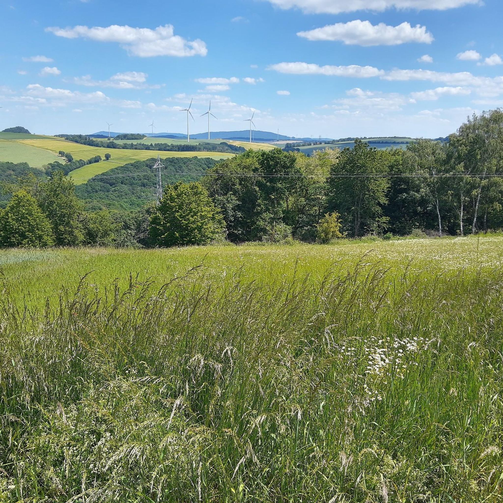
Best mountain peaks around Herschweiler-Pettersheim are found within the North Palatine Uplands, a region characterized by rolling hills and varied topography. The area features elevated areas and natural landmarks that provide scenic views and opportunities for hiking. This landscape includes "jagged mountains and heights" with diverse slopes and significant topographic variance. The region offers a range of natural features and elevated points for exploration.
Best mountain peaks around Herschweiler-Pettersheim
- The most popular mountain peaks is Reuschbacher Heights Viewpoint, a…
Last updated: August 26, 2026
Höchberg Tower
Highlight • Monument
Translated by Google •
Tip by

Weiselberg Summit and Steinerne Meer
Highlight • Summit
From a geological point of view, the »Steinernes Meer« is a heap of scree made from weathered material from the Weiselberg. From a geological point of view, this …
Translated by Google •
Tip by

Sign up now to discover places like this
Get recommendations on the best single tracks, peaks, & plenty of other exciting outdoor places.
Sign up for free
Reuschbacher Heights Viewpoint
Highlight • Viewpoint
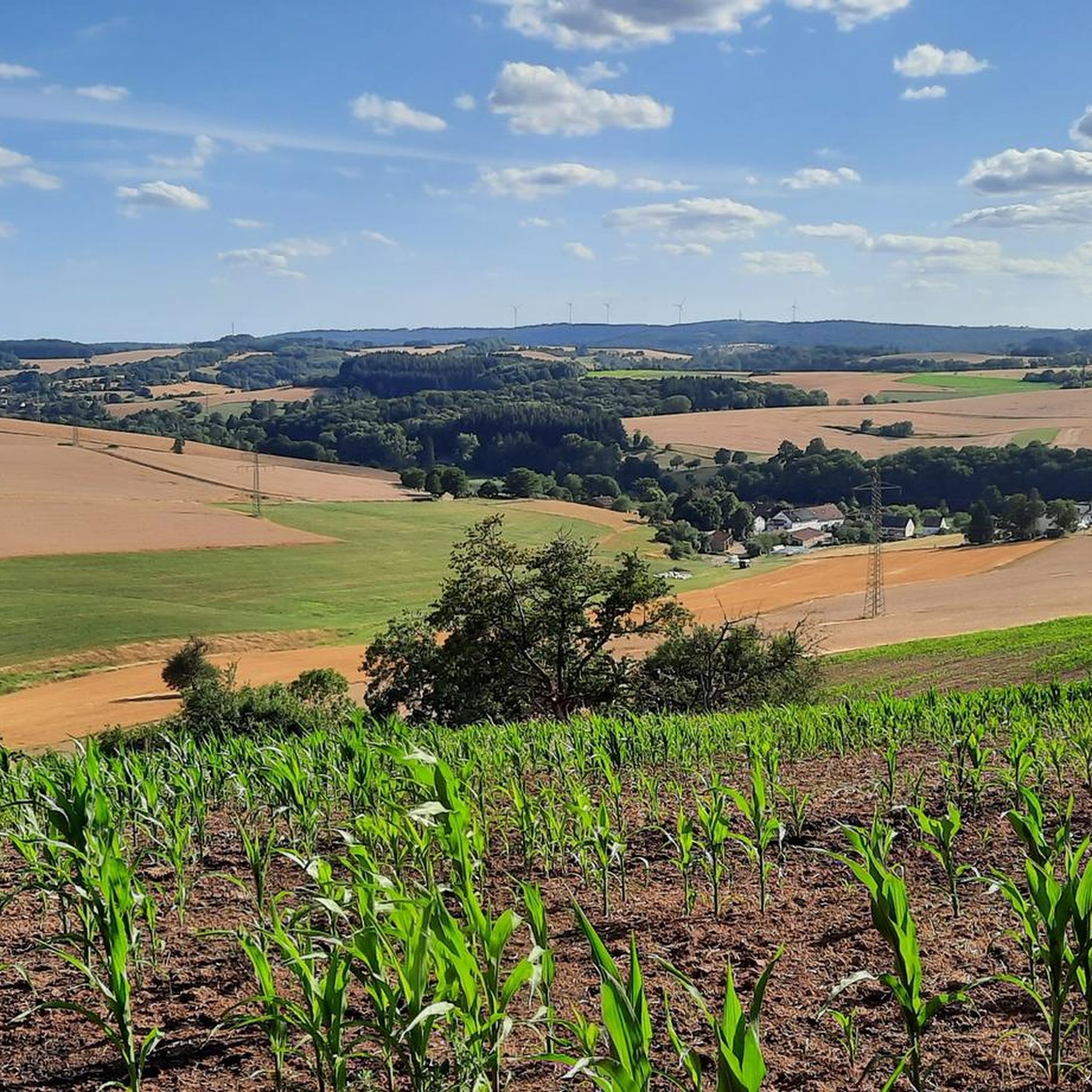
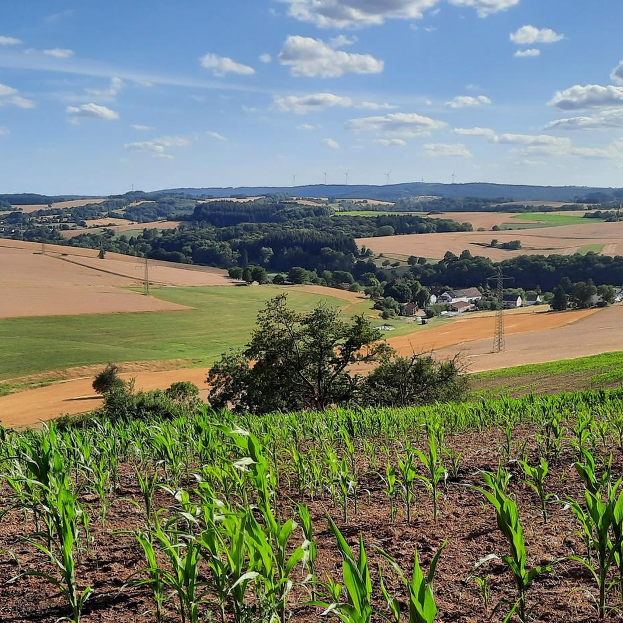
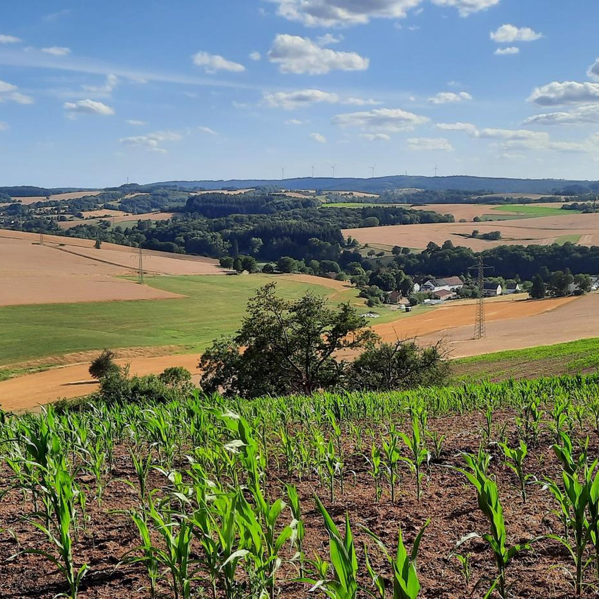
Grandiose panoramic view over the Westpfälzer Moorniederung to Sickinger height and over Potzberg and Glantal to the Prussian mountains.
Translated by Google •
Tip by

Start and finish of the Weiselberg Summit Tour
Highlight • Trail
The approximately 16 km long Weiselberg summit tour in Oberkirchen leads through a varied hilly landscape around the Weiselberg (569m). Light-flooded beech forests allow spectacular views over and over …
Translated by Google •
Tip by
Bosenberg Communications Tower Summit
Highlight • Viewpoint
Translated by Google •
Tip by

Sign up for free to discover even more peaks around Herschweiler-Pettersheim.
Sign up for free
Already have an account?
Start today with a free account
Your next adventure awaits.
Login or Signup
Popular around Herschweiler-Pettersheim

Tips from the Community

A short hike is always very nice at MEDICLIN Bosenberg and if the weather is good, you can enjoy a very beautiful view.
0
0

Steep ascents from Reuschbach, Niedermohr or Rehweiler possible.
4
1

The highlight of the rascal tour, because rascals are always thirsty 🍺 and after Corona they are allowed to go up the tower again!
8
0

𝐒𝐭𝐞𝐢𝐧𝐞𝐫𝐧𝐞 𝐌𝐞𝐞𝐫 From a geological point of view, the »Steinernes Meer« is a heap of scree made from weathered material from the Weiselberg. From a geological point of view, this sea of rocks at the foot of the mountain is a work of the Ice Age. The last ice age only ended around 10,000 years ago. Magma rising underground got stuck under the earth's surface and solidified into mostly pentagonal column formations, quite typical of slowly cooling basalt rock. Over the course of millions of years, the surrounding softer sedimentary rock was removed by erosion. In geology, the very hard rock, which shines deep black when cut and is reminiscent of a starry sky with its bright feldspar particles, has been given the name »Weiselbergite«. The frost change climate during this geological epoch caused extreme weathering and erosion processes that were able to separate the blocks and columns weighing several tons from the rock structure. Not least because of the extreme daily temperature fluctuations, the steep southern slope of the Weiselberg with the typical vertical basalt columns offered the best conditions for the formation of the Felsenmeer. The boulders collected on the mountainside and have since been exposed to weathering. Covered with mosses, the »Steinernes Meer« repeatedly gave rise to eerie legends: Whether wild cyclopes played with it or the remains of an enchanted castle are left to the imagination of the observer. The Romans were already digging for agates on the surface of the Weiselberg. From the 15th century, when only little was to be found above ground and a veritable agate boom began, the agate seekers went deep. Some tunnels buried today bear witness to this. After the war there were concrete considerations to dismantle the Weiselberg as a quarry. This was prevented by the designation as a nature reserve in October 1950. In earlier times, the minerals of this region such as agate, chalcedony, jasper and petrified wood were processed in the gemstone metropolis of Idar-Oberstein. 3000 of these precious stones can be viewed in the Mineralogical Museum in the old school in Oberkirchen (0 68 55/332) and in the Mineral Museum (2000 exhibits) in Freisen (0 68 55/13 25). In the Gemstone Dorado in Freisen, treasure hunters can search for gemstones themselves. (0 68 55/1849 31) Source: Text information board
7
0
𝐊𝐮𝐫𝐳𝐛𝐞𝐬𝐜𝐡𝐫𝐞𝐢𝐛𝐮𝐧𝐠 The approximately 16 km long Weiselberg summit tour in Oberkirchen leads through a varied hilly landscape around the Weiselberg (569m). Light-flooded beech forests allow spectacular views over and over again. Mighty rock formations, a waterfall and many other natural gems promise an eventful hiking tour. Particularly impressive are the "Eulental", a narrow Kerbtal, the "Steinern Cabinet", the Oberkirchen Viaduct, the Weiselberg summit with wonderful views and the "Steinernes Meer" on the Weiselberg. You can refresh your tired feet at the water treading facility in Oberkirchen. A visit is recommended In the natural game park Freisen with a bird of prey show. The wonderful Weiselbergbad Oberkirchen invites you to relax at the end of the hiking tour. The two mineral musts in Freisen and Oberkirchen show many local rocks. Source: Text information board Starting point: Weiselbergbad Oberkirchen Route length: 15.6km Elevation gain: 565 m Difficulty level: medium Walking time: 4 - 5 hours Recommended walking direction: counterclockwise 𝐖𝐞𝐠𝐛𝐞𝐬𝐜𝐡𝐫𝐞𝐢𝐛𝐮𝐧𝐠 https://www.urlaub.saarland/Media/Touren/Weiselberg-Gipfeltour
7
1

The restaurant by the tower was really a surprise 😆 :)) But it's really nice, especially the wooden hut!
8
0

The highest point in the municipality of Ramstein-Miesenbach with a granious view over the West Palatinate moorland.
6
0

Would be even nicer if the smokers used the trash cans instead of throwing their butts on the floor ...
6
0
Frequently Asked Questions
What are the most popular viewpoints around Herschweiler-Pettersheim?
The region offers several popular viewpoints. The Reuschbacher Heights Viewpoint is highly regarded for its grandiose panoramic view over the Westpfälzer Moorniederung, complete with benches for relaxing. Another excellent spot is the Höchberg Tower, which provides expansive views from the highest elevation of the Saarpfalz.
Are there any unique geological formations to explore?
Yes, the Weiselberg Summit and Steinerne Meer features a unique geological formation known as the "Steinernes Meer" (Sea of Rocks). This impressive heap of scree from weathered material offers a fascinating natural spectacle and a great view of the surrounding countryside. Additionally, the Teufelstisch, an impressive sandstone monolith, is a significant natural monument in the broader region, offering spectacular panoramic views.
What kind of hiking opportunities are available near Herschweiler-Pettersheim's elevated areas?
The area around Herschweiler-Pettersheim is known for its diverse hiking opportunities, catering to various skill levels. The "Herschweiler Runde" is a premium hiking trail traversing fields, meadows, and forests. For a more challenging experience, the Weiselberg Summit Tour is a 15.6 km route with significant elevation gain, leading through varied landscapes, past rock formations, and offering wonderful views.
Are there family-friendly elevated spots or viewpoints?
Yes, several spots are suitable for families. The Reuschbacher Heights Viewpoint is beautifully landscaped with benches, making it a pleasant stop for all ages. The Höchberg Tower is also considered family-friendly, offering great views and often having a restaurant nearby.
What can I expect to see at the Harzhöhe?
The Harzhöhe, one of the highest points directly associated with Herschweiler-Pettersheim at 412 meters above sea level, offers expansive views of the surrounding area. It is also notable for the four wind turbines installed on its summit, which create a unique juxtaposition of nature and modern technology.
Are there any historical or cultural points of interest on these elevated areas?
The Höchberg Tower is a man-made monument with historical significance, located at the highest elevation of the Saarpfalz. Additionally, the Hühnerkopf, another notable elevation, is thought to have historical linguistic ties, with its name possibly deriving from older terms like "Hünenkopf" or "Hunnenkopf," suggesting a connection to ancient populations.
What other outdoor activities can I do near the elevated areas of Herschweiler-Pettersheim?
Beyond hiking, the region offers excellent opportunities for cycling. You can explore various routes for cycling, road cycling, and gravel biking. These routes often pass through scenic landscapes and offer different difficulty levels, such as the easy "Reismühle Café & Restaurant – Reismühle Coffee Roastery loop from Herschweiler-Pettersheim" for cycling or more challenging options for gravel biking.
Where can I find amenities like food or drink near the peaks?
Near the Höchberg Tower, there is a restaurant that offers home-style German cooking, guest rooms, and a beer garden, making it a convenient stop for refreshments and meals.
What is the Hühnerkopf and what does it offer?
The Hühnerkopf is an elevation that "looms over the village to the east." Its name, translating to "Chicken's Head," is believed to have ancient origins. A hiking trail, the "Hochwald Route (HP4)," leads to a Hühnerkopf viewpoint, indicating its significance as a scenic spot for panoramic views.
What is the Bosenberg Communications Tower Summit?
The Bosenberg Communications Tower Summit is an elevated viewpoint that offers beautiful views after a short hike. It's a great spot to enjoy the scenery of the surrounding area.
What kind of terrain can I expect on hikes around Herschweiler-Pettersheim's elevated areas?
The region is characterized by rolling hills and varied topography, with a constant alternation between "jagged mountains and heights." You can expect diverse terrain ranging from gentle slopes to more sharply convex slopes, offering a mix of easy and challenging sections on trails like the Weiselberg Summit Tour.
Most popular routes around Herschweiler-Pettersheim
Most popular attractions around Herschweiler-Pettersheim

Get inspired with the komoot mobile app


Explore more
See even more amazing summits around Herschweiler-Pettersheim with these guides:
