The best mountain hikes around Viernheim
4.7
(3)
7
hikers
4
hikes
Mountaineering routes around Viernheim traverse the varied terrain of the Kreis Bergstraße region, characterized by forested hills and moderate elevations. The area offers a mix of established trails that lead through woodlands and past historical points of interest. These routes provide opportunities for exploring the natural landscape with consistent elevation changes.
Best mountaineering routes around Viernheim
- The most popular mountaineering route is Ölberg – Schwedenschanze loop from Schriesheim, a 4.2 miles (6.7 km) trail that takes 2 hours 21…
Last updated: October 5, 2026
5.0
(1)
4
hikers
6.97km
02:24
320m
320m
Moderate mountaineering route. Good fitness required. Mostly accessible paths. Sure-footedness required.
4.0
(1)
1
hikers
11.6km
03:38
400m
400m
Moderate mountaineering route. Good fitness required. Mostly accessible paths. Sure-footedness required.

5.0
(1)
1
hikers
Moderate mountaineering route. Good fitness required. Easily-accessible paths. Suitable for all skill levels.
1
hikers
Easy mountaineering route. Great for any fitness level. Easily-accessible paths. Suitable for all skill levels.
Our route recommendations are based on thousands of hikes, rides, and runs completed by other people on komoot.
Start today with a free account
Your next adventure awaits.

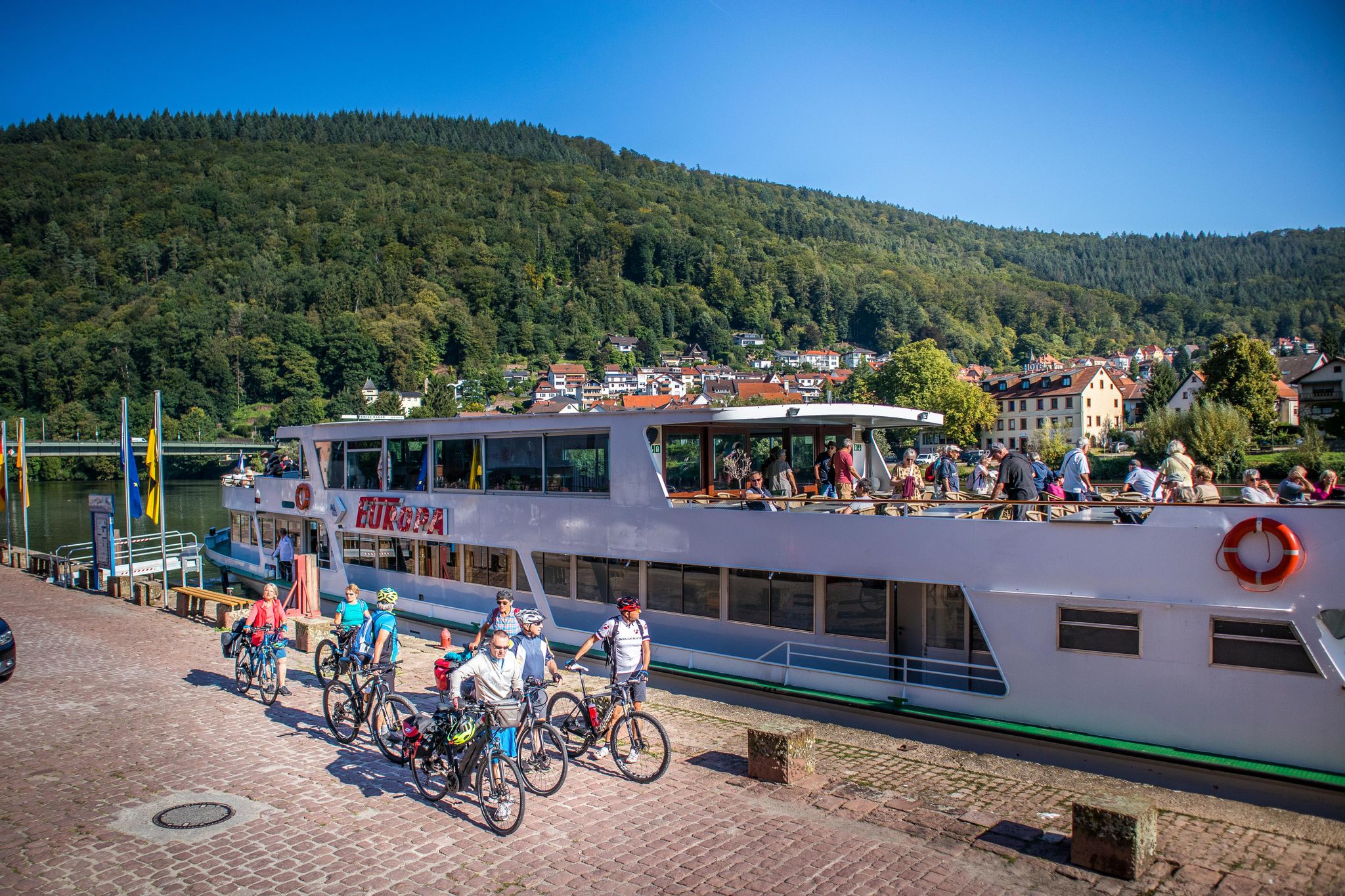
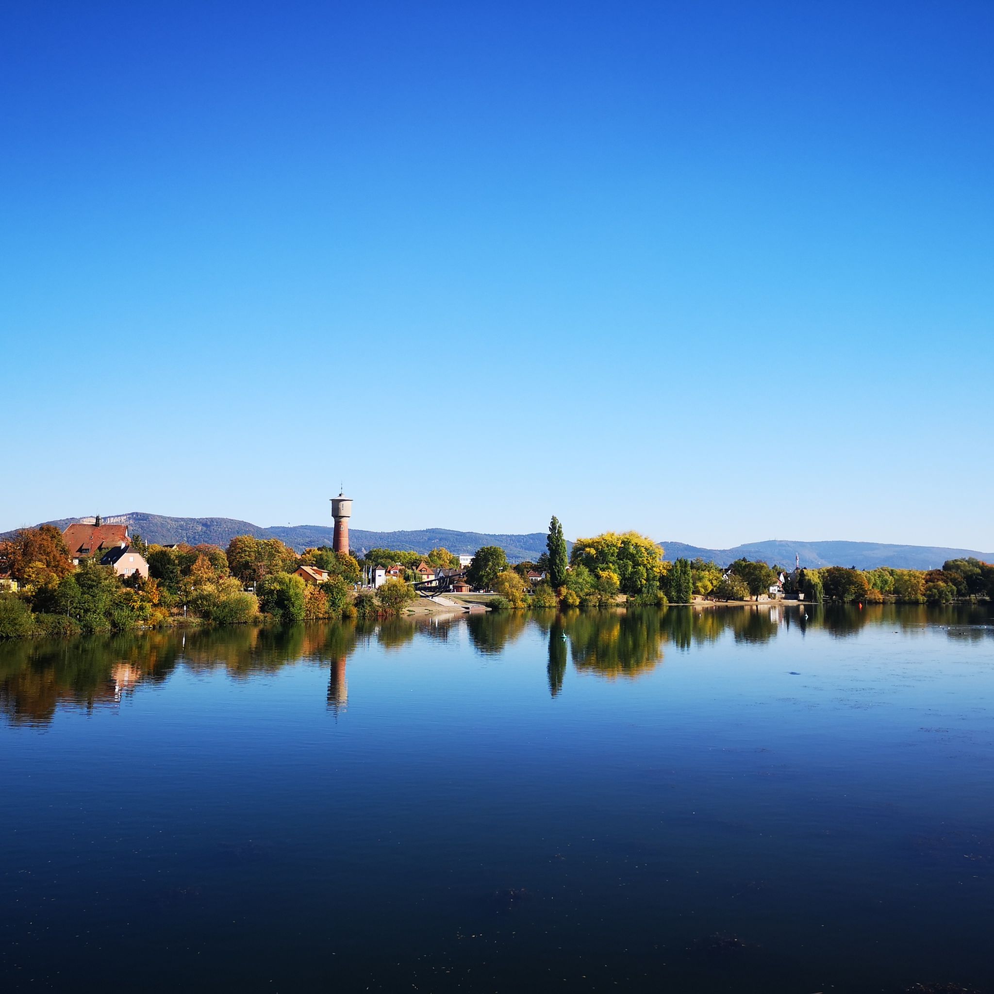



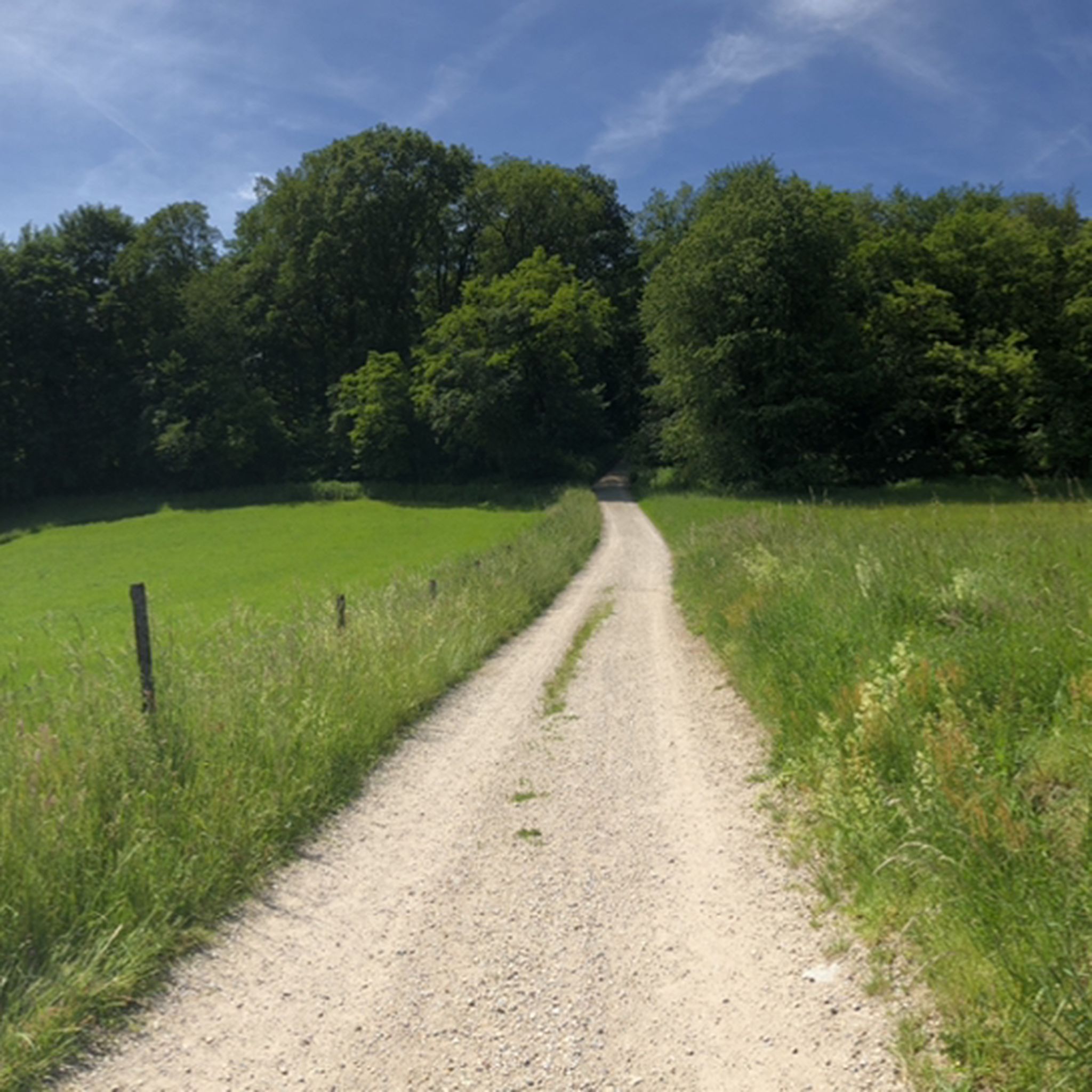
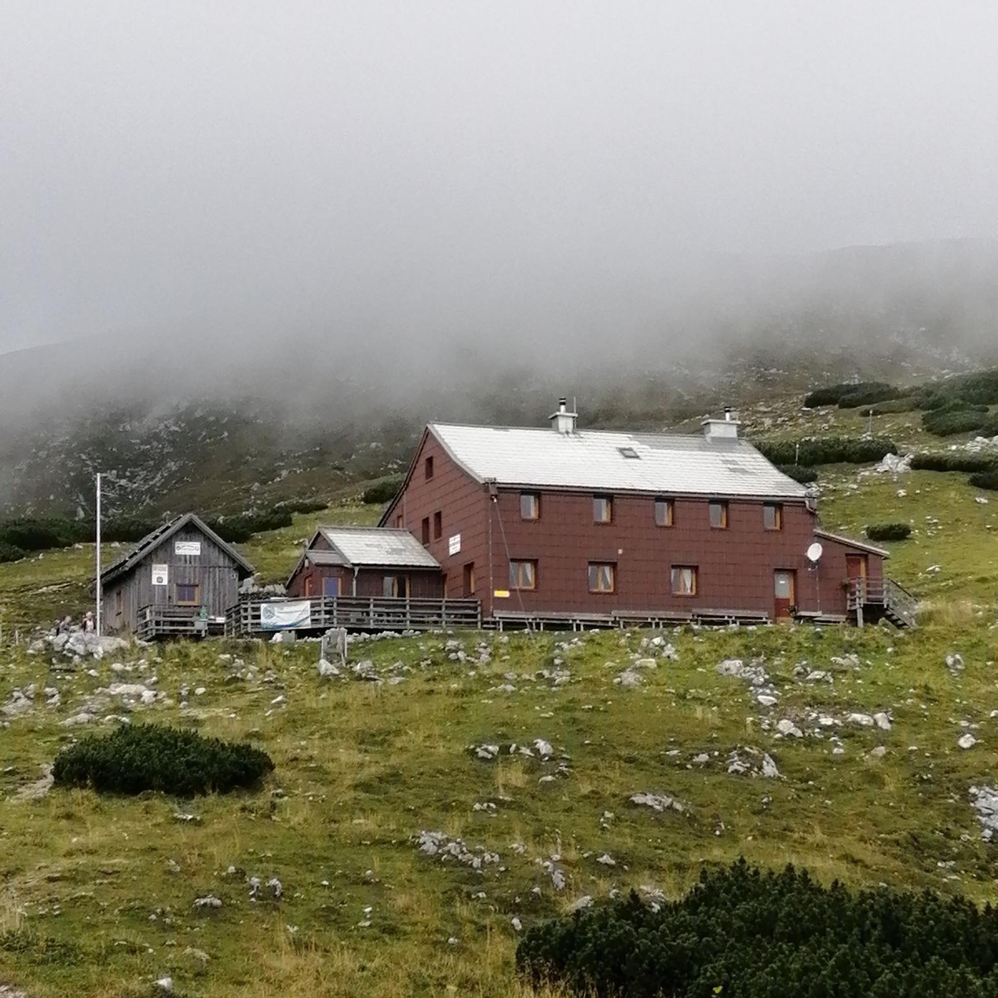


Tips from the Community

Open hilltop pasture with a wide view toward Mörlenbach and Bonsweiher, striking in low winter sun. Exposed and can be icy or slippery in cold weather, so ride with care.
0
0
Gorgeous view over meadows and wooded ridges, especially colorful in autumn. Worth a short stop for photos before continuing on.
0
0

Great view - beautiful landscape. Lovely to ride here.
1
0

in the Hessian Odenwald
0
0

Peace and quiet with a view. Here and there a bench in the sunshine.
0
1

Parking lot from which you can start a beautiful hike
1
1
There is a nice variety on the route
0
0
Super beautiful views
1
1
Frequently Asked Questions
How many mountaineering routes are available around Viernheim?
There are several mountaineering routes around Viernheim, with a total of 4 routes detailed in this guide. These include 1 easy and 3 moderate options, offering a range of experiences through the forested hills of the Kreis Bergstraße region.
Are there any easy mountaineering routes suitable for beginners or families in Viernheim?
Yes, for an easier experience, consider the Mörlenbach Art Trail – Kreiswald Reservoir loop from Das kleine Felsenmeer. This route is 4.1 km long and typically takes just over an hour to complete, offering a gentle introduction to the area's trails.
What are some of the longer or more challenging mountaineering routes near Viernheim?
For a more extended moderate challenge, the Hohe Waid Summit Cross – Schanzenköpfle Ruins loop from Leutershausen covers 11.8 km and involves significant elevation changes. Another option is the Arnold Oak and Shelter – Good Times–Bad Times Fountain loop from Starkenburg, which is 11.9 km long and takes around 3 hours 30 minutes.
Are there circular mountaineering routes in the Viernheim area?
Yes, all the mountaineering routes highlighted in this guide are circular. For example, the Ölberg – Schwedenschanze loop from Schriesheim is a popular 6.7 km circular trail that takes about 2 hours 21 minutes to complete.
What kind of historical points of interest can I expect to see on these routes?
Many routes traverse historical sites. For instance, the Hohe Waid Summit Cross – Schanzenköpfle Ruins loop from Leutershausen features summit crosses and historical ruins. The Ölberg – Schwedenschanze loop from Schriesheim also passes by historical points.
Are there any viewpoints along the mountaineering trails near Viernheim?
Yes, the region offers several spots with good views. The Hemsberg Bismarck Tower is a notable viewpoint in the area, often accessible from nearby trails, providing panoramic vistas over the landscape.
What do other mountaineers say about the routes around Viernheim?
The mountaineering routes around Viernheim are highly rated by the komoot community, with an average score of 4.7 stars from several reviews. Users often praise the well-maintained forested paths and the blend of natural beauty with historical landmarks.
Are there places to eat or rest near the mountaineering trails?
Yes, you can find places to rest and potentially eat. The Schriesheimer Hut and Helenenruhe are examples of huts in the vicinity that can serve as resting points. Additionally, the Karlstern Pavilion offers facilities.
What is the best time of year for mountaineering around Viernheim?
The forested hills and moderate elevations around Viernheim make these routes enjoyable for much of the year. Spring and autumn offer pleasant temperatures and vibrant scenery, while summer provides lush green woodlands. Winter can also be beautiful, but check local conditions for snow or ice.
Where can I find parking for these mountaineering routes?
Parking is generally available near the starting points of many trails. For example, Weinheim Castle Park is a known parking location that can serve as a base for exploring the surrounding area's natural monuments and trails.
Are there any natural monuments or unique geological features to explore?
Yes, the region boasts natural attractions such as the Spatschlucht, a gorge that offers a unique natural experience. The Neckar Loop also provides scenic natural beauty.
Most popular routes around Viernheim
Most popular attractions around Viernheim

Get inspired with the komoot mobile app


Explore more
Browse the best Mountain Hikes & Routes in other regions.
