The best mountain hikes around Gutach (Schwarzwaldbahn)
5.0
(1)
5
hikers
4
hikes
Mountaineering around Gutach (Schwarzwaldbahn) offers routes through the scenic Black Forest, characterized by dense woodlands, rolling hills, and picturesque valleys. The region features varied terrain with moderate ascents and descents, providing opportunities for exploration amidst traditional Black Forest landscapes. Mountaineers can expect well-maintained trails leading to viewpoints and historical sites.
Best mountaineering routes around Gutach (Schwarzwaldbahn)
- The most popular mountaineering route is Kapfhäusle Thatched House – Boardwalk at the Rotwasserbach loop from Fohrenbühl, a 6.9 miles (11.1 km) trail…
Last updated: July 2, 2026
2
hikers
Moderate mountaineering route. Good fitness required. Easily-accessible paths. Suitable for all skill levels.
5.0
(1)
2
hikers
14.4km
04:42
630m
630m
Moderate mountaineering route. Good fitness required. Mostly accessible paths. Sure-footedness required.

Sign up for free
10.4km
03:21
400m
400m
Moderate mountaineering route. Good fitness required. Mostly accessible paths. Sure-footedness required.
1
hikers
Moderate mountaineering route. Good fitness required. Mostly accessible paths. Sure-footedness required.
Our route recommendations are based on thousands of hikes, rides, and runs completed by other people on komoot.
Start today with a free account
Your next adventure awaits.
Login or Signup
Popular around Gutach (Schwarzwaldbahn)
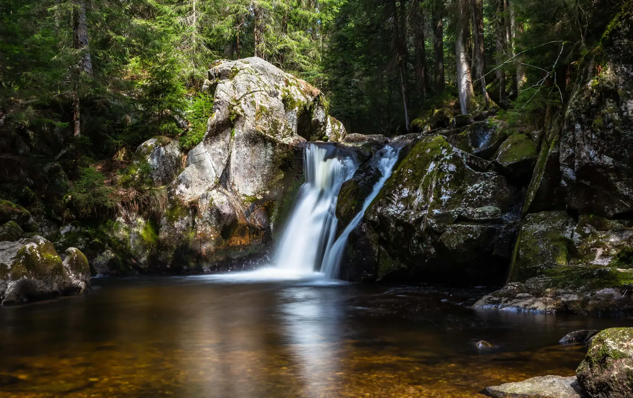
Hiking, ponds & waterfalls – superb Black Forest swimming spots
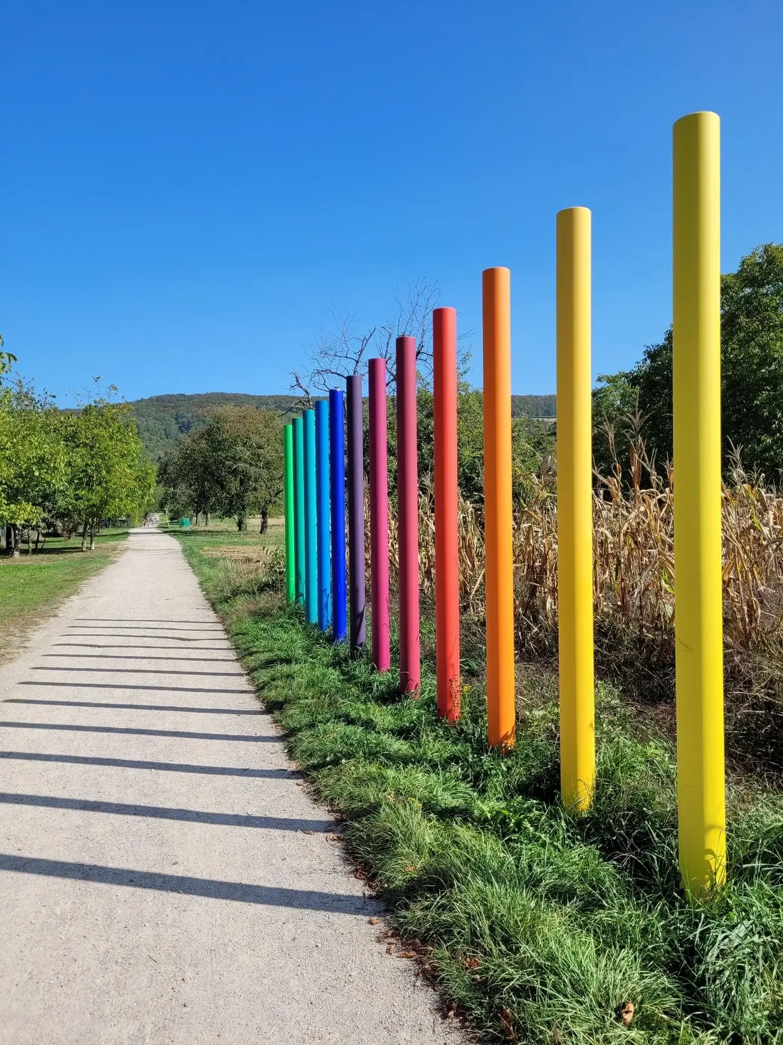
Outdoor Art – art trails in the Black Forest
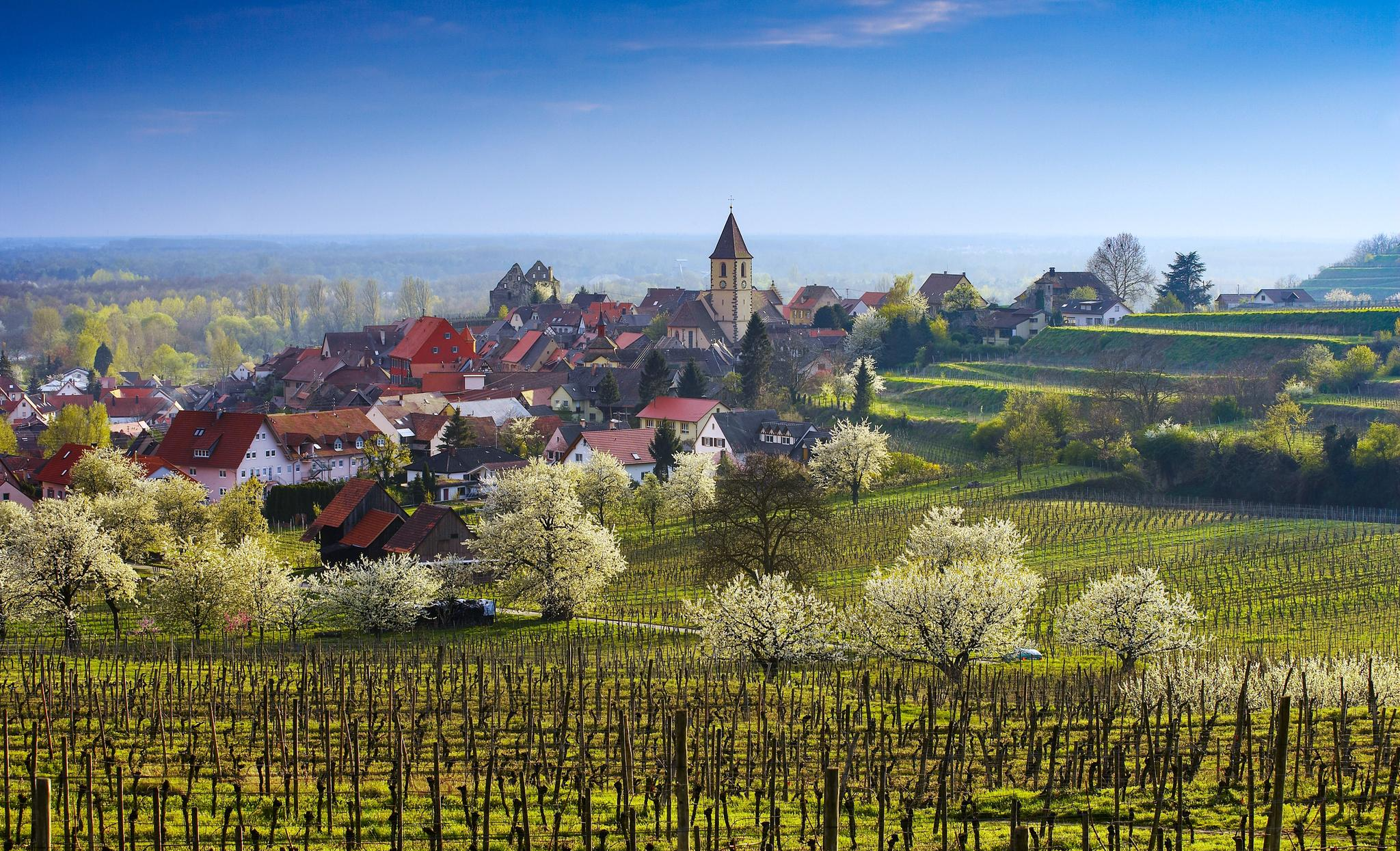
Dreaming in the valley – low-lying spring trails in the Black Forest
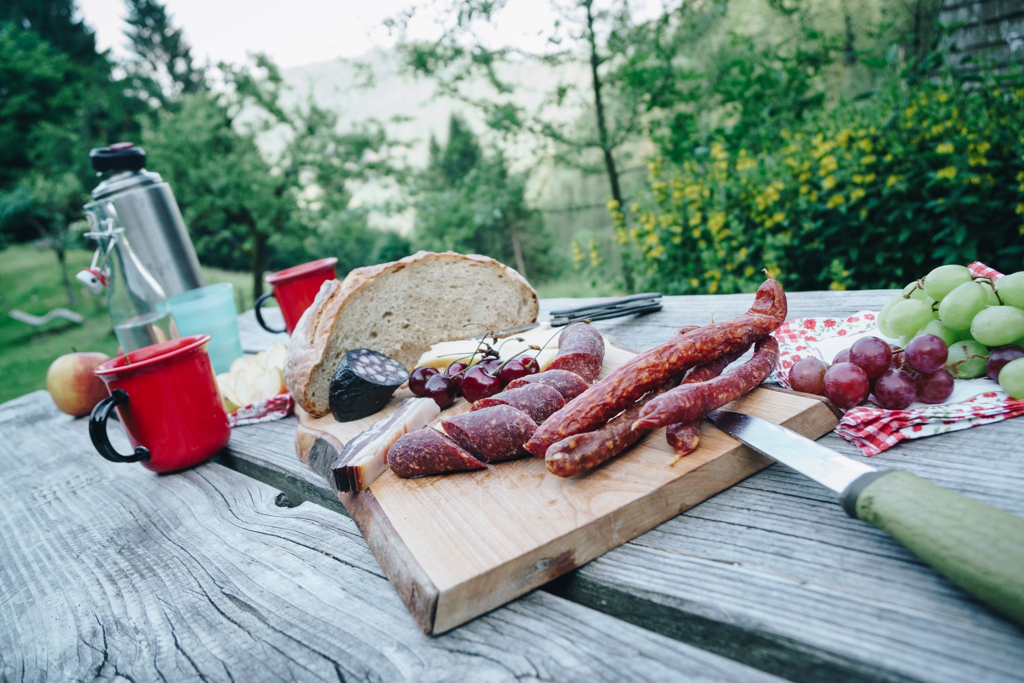
Cheese, blueberries and ham – snacks on Black Forest Genießerpfade
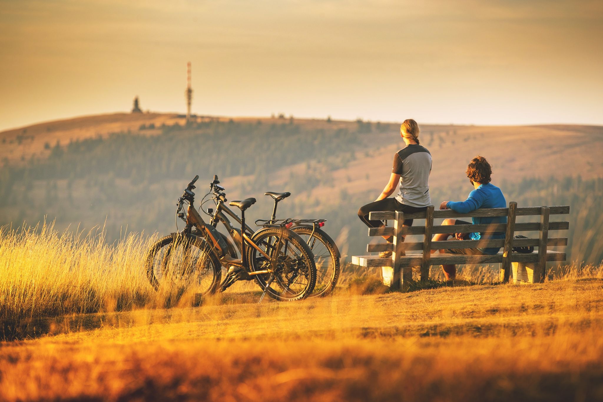
Sunny rides up to heights in the Black Forest
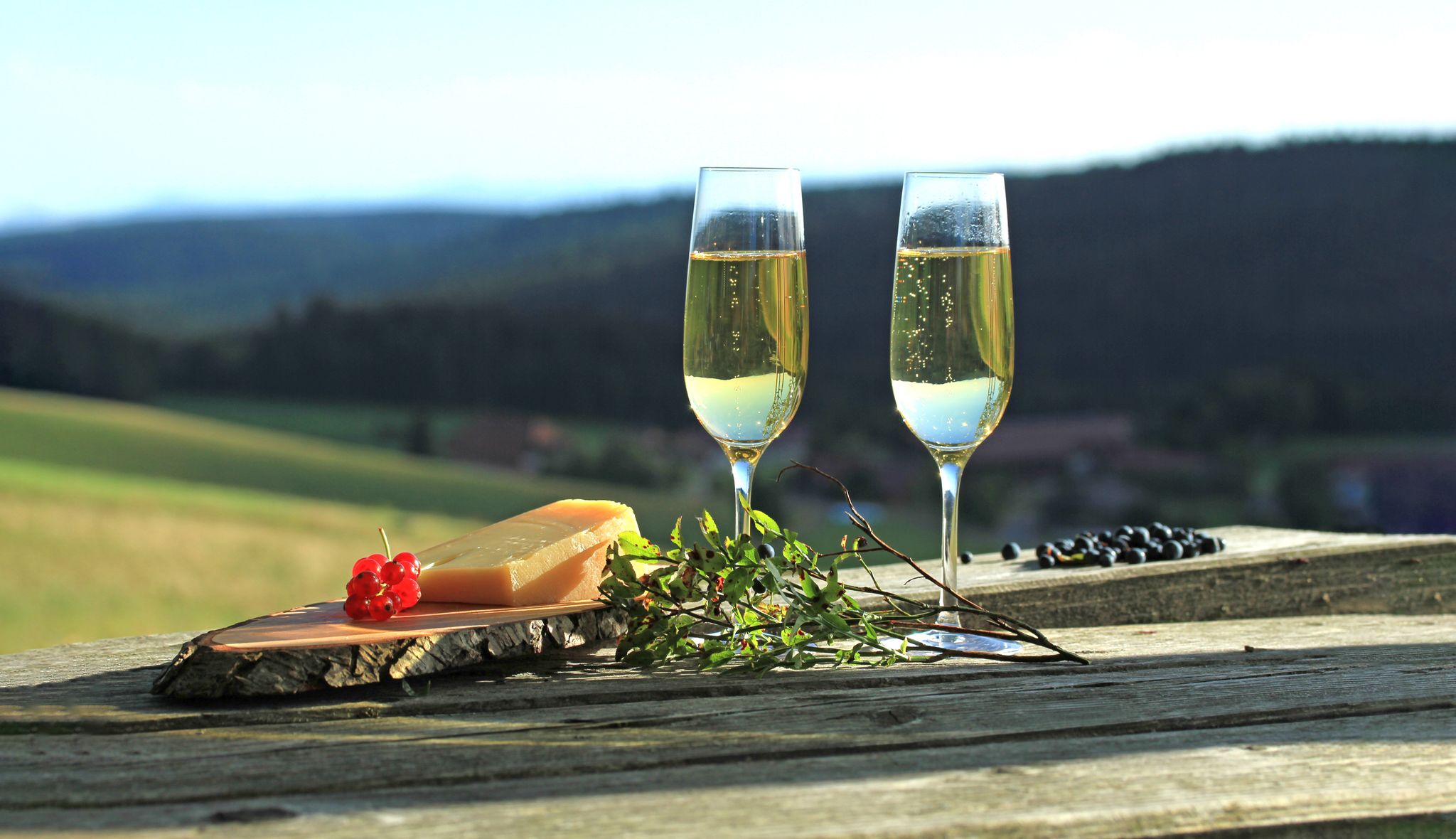
Self-catering bliss on Germany’s Black Forest pleasure trails
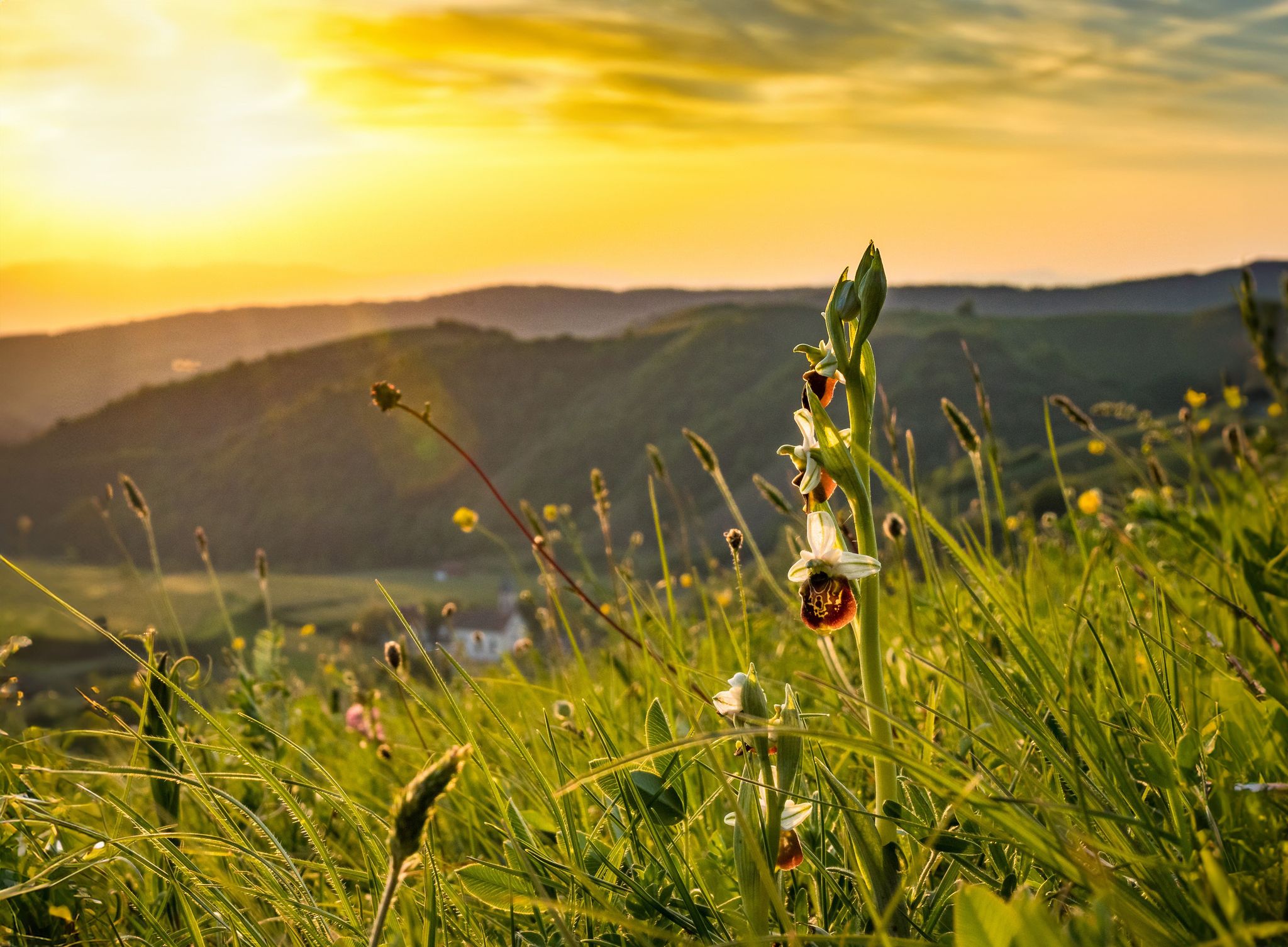
Spring fever on Germany’s Black Forest Pleasure Trails
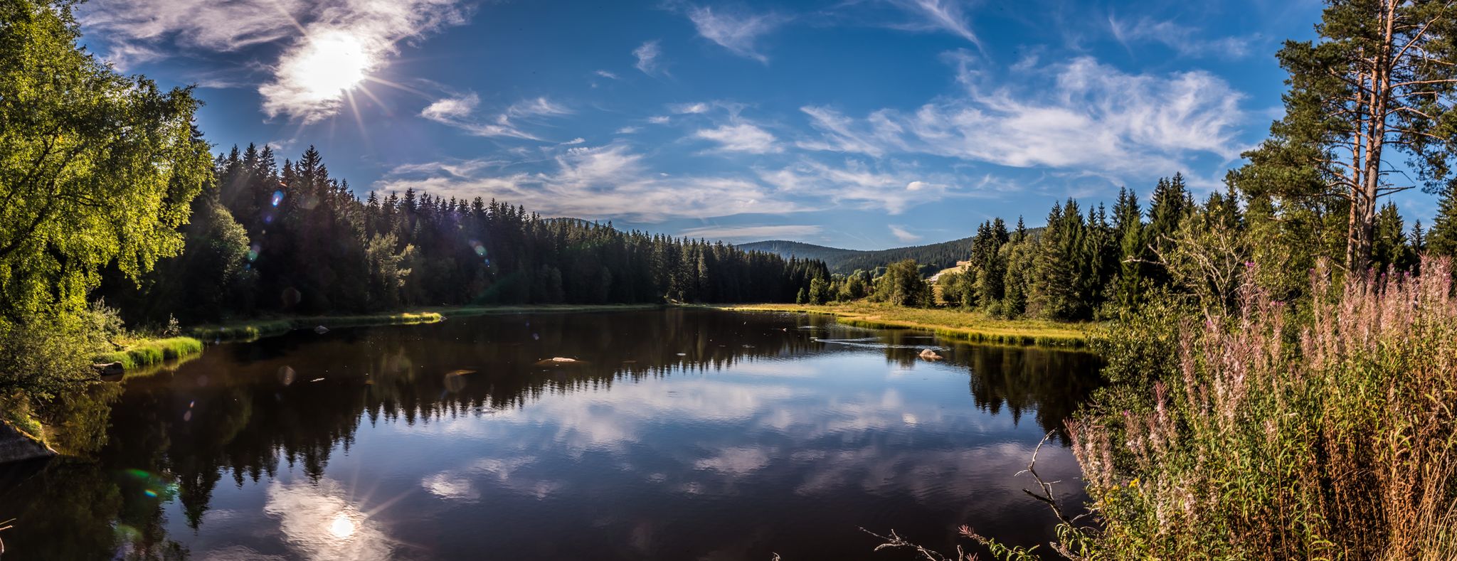
Holidays for the soul — pleasure trails in the Black Forest
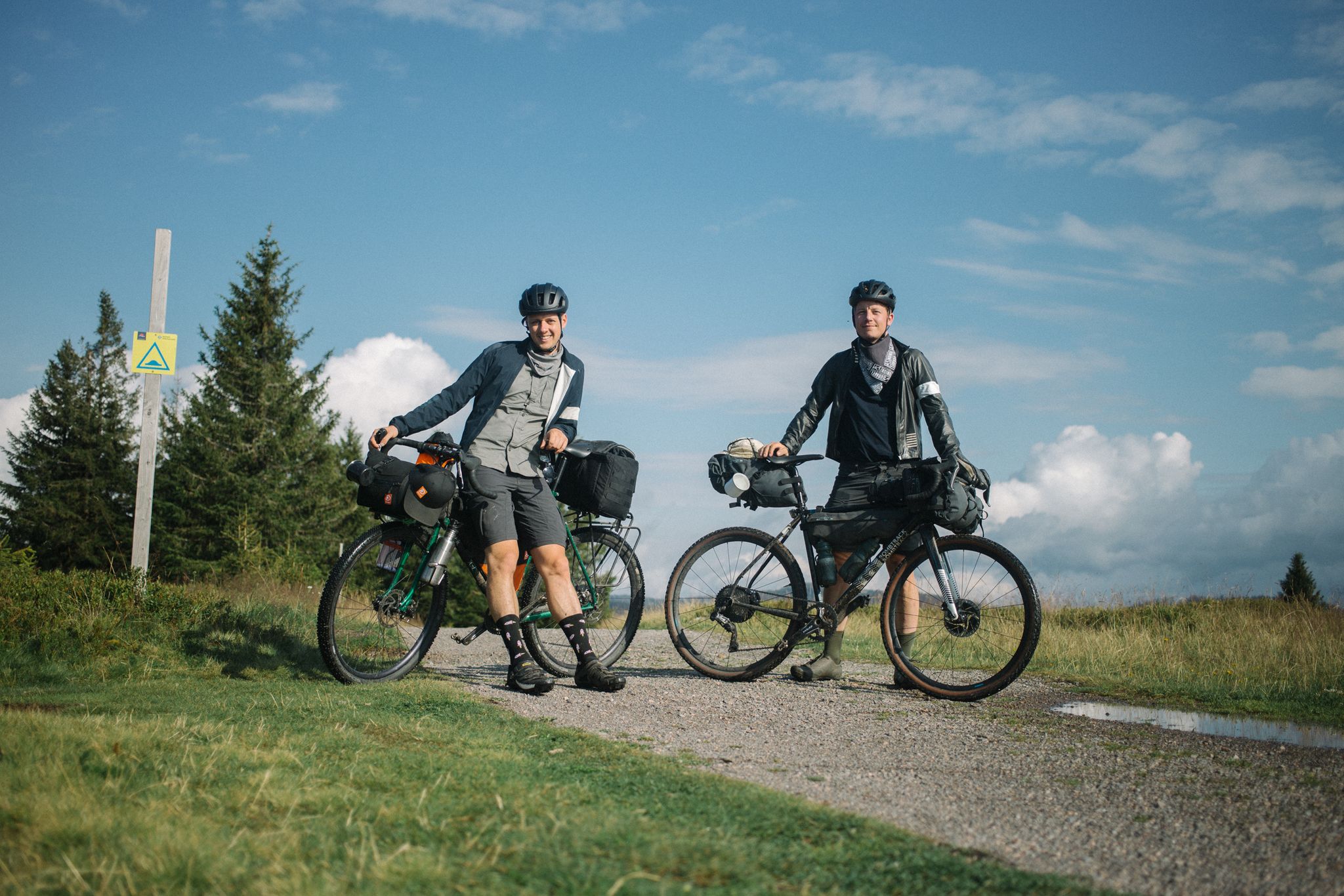
Bikepacking the Black Forest and Alsace
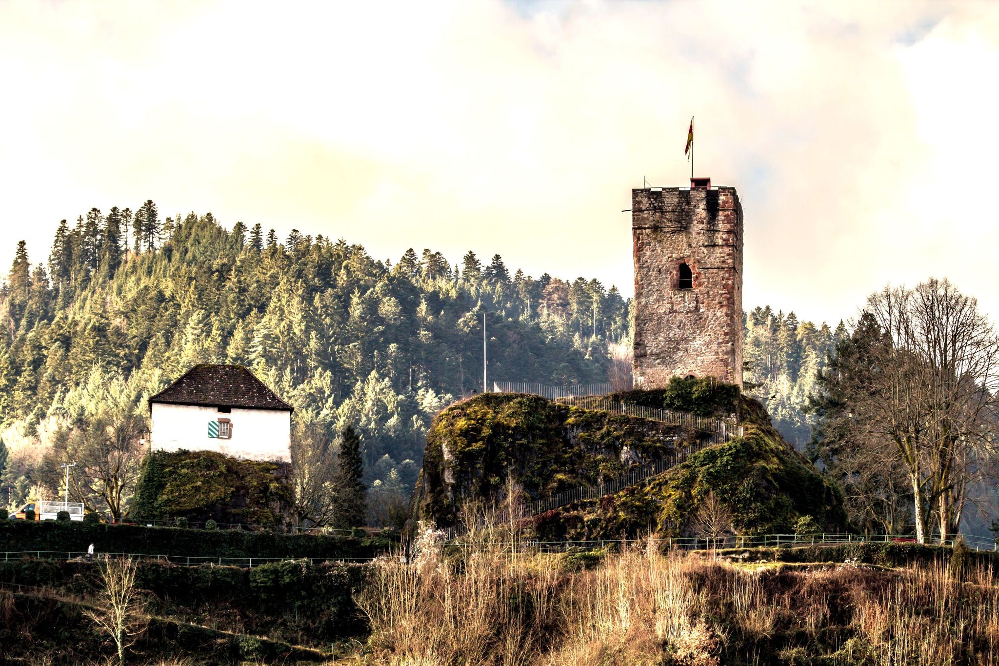
Mountains, castles and Bollenhüte hats — the central Black Forest
Other adventures around Gutach (Schwarzwaldbahn)

Tips from the Community

Access to platform 2 and 3 is at ground level via the yellow marked crossing. Approx. 10 minutes before a train arrives or passes, the crossing is closed with a barrier. So you have to be on the platform in good time beforehand.
0
0
Tracks 2 (RS to Hausach) and 3 (RE2 to Karlsruhe) can be reached at ground level via a yellow-marked path that goes over the tracks. Approximately 5-10 minutes before the train arrives, this passage is closed by a barrier. Then there is no longer a connection. So you have to be at the platform in good time.
0
0

Planetenweg Interesting facts about the Planetenweg The Planetenweg aims to bring the hiker and nature lover, young or old, a little closer to some characteristics, astronomical and physical conditions, and especially the colossal size ratios of our solar system and thus also of the universe. The distance of the planets on the hiking trail also corresponds to the real distance from the sun on a scale of 1:1 billion. The model of the sun, a hollow sphere made of 4mm thick sheet steel, weighs approx. 140 kg and therefore has a diameter of 1.3 meters on this scale. At the planet locations, there are display boards with the relevant data of the respective planet (diameter, orbital period around and distance from the sun, etc.) and a brief explanation of the history/origin of the name. Unfortunately, during the planning and construction phase of the Planetenweg, the planet Pluto was "demoted" to a dwarf planet, but it still forms the endpoint of our hike through the solar system. .... Source: https://schwarzwaldverein-lauterbach.de/wege/unsere-wanderwege-in-lauterbach/planetenweg/
0
0

In 14 illustrated panels, important aspects of local history, local traditions, or the Gutach painters' colony are addressed. The start is at the Kunstmuseum Hasemann-Liebich, the end at the war memorial. https://www.schwarzwald-kinzigtal.info/touren/gutacher-malerwanderweg-b7df830650
2
0

Nice place to rest at a crossroads, but the view is slowly becoming obscured.
0
0


Unfortunately, the hut is no longer what it once was. Since spring 2025, there has been a large parking lot with a wind turbine construction site (signposts now only read "Büchereck (P)"). The idyllic setting is gone.
5
0

Frequently Asked Questions
What is the general difficulty level of mountaineering routes around Gutach (Schwarzwaldbahn)?
The mountaineering routes in this area are generally considered moderate. They feature varied terrain with rolling hills, moderate ascents, and descents, making them suitable for those with a reasonable level of fitness. You won't find any easy or difficult rated routes in this selection, ensuring a consistent challenge.
Are there any circular mountaineering routes available?
Yes, all the featured mountaineering routes around Gutach (Schwarzwaldbahn) are circular. This means you'll end your journey back at your starting point. For example, you could try the Kapfhäusle Thatched House – Boardwalk at the Rotwasserbach loop from Fohrenbühl, which is a popular circular option.
What kind of scenery can I expect on these mountaineering trails?
You can expect classic Black Forest scenery, characterized by dense woodlands, picturesque valleys, and rolling hills. Many routes lead to elevated viewpoints offering expansive vistas. For instance, the View of the Kirnbach Valley – Spitzfelsen Viewpoint loop from Hausach is specifically known for its scenic outlooks.
Are there any interesting landmarks or natural attractions along the routes?
Absolutely! The region is rich in natural and historical sights. You can explore fascinating caves like the Moosmann Cave or historical sites such as the Grube Wenzel Show Mine. Some routes, like the Hornberg Castle and its Tower – Karlstein loop from Hornberg, offer views of historic castles.
Can I find waterfalls near the mountaineering routes?
Yes, the Gutach (Schwarzwaldbahn) area is close to several beautiful waterfalls. The famous Triberg Waterfalls are a notable attraction nearby, and you can also find the Lauterbach Waterfalls and Elz Waterfalls in the wider region.
What is the typical duration for these mountaineering routes?
The mountaineering routes around Gutach (Schwarzwaldbahn) typically range from approximately 3 to 4.5 hours to complete. For example, the Kapfhäusle Thatched House – Boardwalk at the Rotwasserbach loop from Fohrenbühl takes about 3 hours 13 minutes, while the Hornberg Castle and its Tower – Karlstein loop from Hornberg is closer to 4 hours 41 minutes.
What do other mountaineers enjoy most about the routes in Gutach (Schwarzwaldbahn)?
The komoot community highly rates the mountaineering experience here, with an average score of 5.0 stars. Reviewers often praise the well-maintained trails, the serene atmosphere of the Black Forest, and the rewarding viewpoints. The variety of terrain and the opportunity to explore traditional landscapes are also frequently highlighted.
Are there any routes that pass by huts or places to rest?
Yes, some routes incorporate traditional Black Forest huts. For instance, the Hasemann Hut on the Farrenkopf – Büchereck Hut loop from Gutach (Schwarzwaldbahn) passes by both the Hasemann Hut and the Büchereck Hut, offering opportunities for a break or refreshment during your tour.
Is the area suitable for mountaineering with dogs?
The Black Forest generally offers many dog-friendly trails. Given the well-maintained paths and natural environment of the Gutach (Schwarzwaldbahn) routes, they are typically suitable for mountaineering with dogs. Always ensure your dog is on a leash where required and respect local wildlife.
What is the best time of year for mountaineering in Gutach (Schwarzwaldbahn)?
The spring, summer, and autumn months are generally ideal for mountaineering in the Black Forest. Spring brings blooming flora, summer offers warm weather, and autumn showcases vibrant foliage. While winter mountaineering is possible, conditions can be challenging due to snow and ice, requiring appropriate gear and experience.
Are there any routes with unique features, like boardwalks?
Yes, the Kapfhäusle Thatched House – Boardwalk at the Rotwasserbach loop from Fohrenbühl features a charming boardwalk section along the Rotwasserbach, adding a unique and picturesque element to your mountaineering experience.
Most popular routes around Gutach (Schwarzwaldbahn)
Most popular attractions around Gutach (Schwarzwaldbahn)

Get inspired with the komoot mobile app


Explore more
Browse the best Mountain Hikes & Routes in other regions.
